Top 20 Natural Monuments around Llantilio Pertholey
Best natural monuments around Llantilio Pertholey are found within Monmouthshire's diverse landscape, offering varied opportunities for outdoor exploration. The area features distinctive mountain peaks, ancient woodlands, and tranquil valleys. These natural features provide panoramic vistas and rich biodiversity. Llantilio Pertholey serves as a gateway to the eastern Brecon Beacons National Park, known for its iconic climbs and unique geological formations.
Best natural monuments around Llantilio Pertholey
- The most popular natural monuments is Sugar Loaf Summit, a summit that rises…
Last updated: July 1, 2026
Blorenge summit
Highlight • Natural Monument
Tip by

Skirrid Fawr summit
Highlight • Climb
Tip by

Sign up now to discover places like this
Get recommendations on the best single tracks, peaks, & plenty of other exciting outdoor places.
Sign up for free
Pen Cerrig-calch summit
Highlight • Viewpoint
Tip by
Sugar Loaf Summit
Highlight • Summit
Tip by

Keeper's Pond (Pen-Ffordd-Goch Pond)
Highlight • Natural Monument
Tip by
Sign up for free to discover even more natural monuments around Llantilio Pertholey.
Sign up for free
Already have an account?
Start today with a free account
Your next adventure awaits.
Login or Signup
Popular around Llantilio Pertholey
Other adventures around Llantilio Pertholey

Tips from the Community

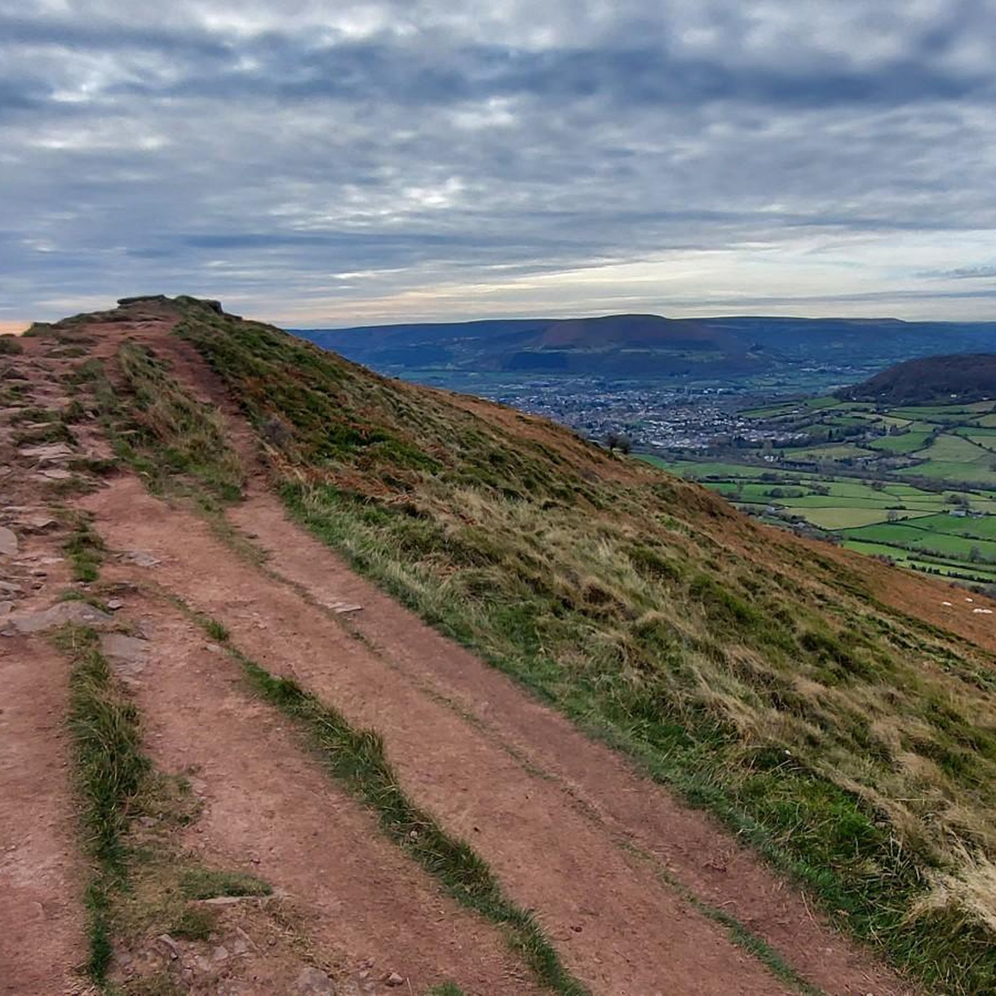
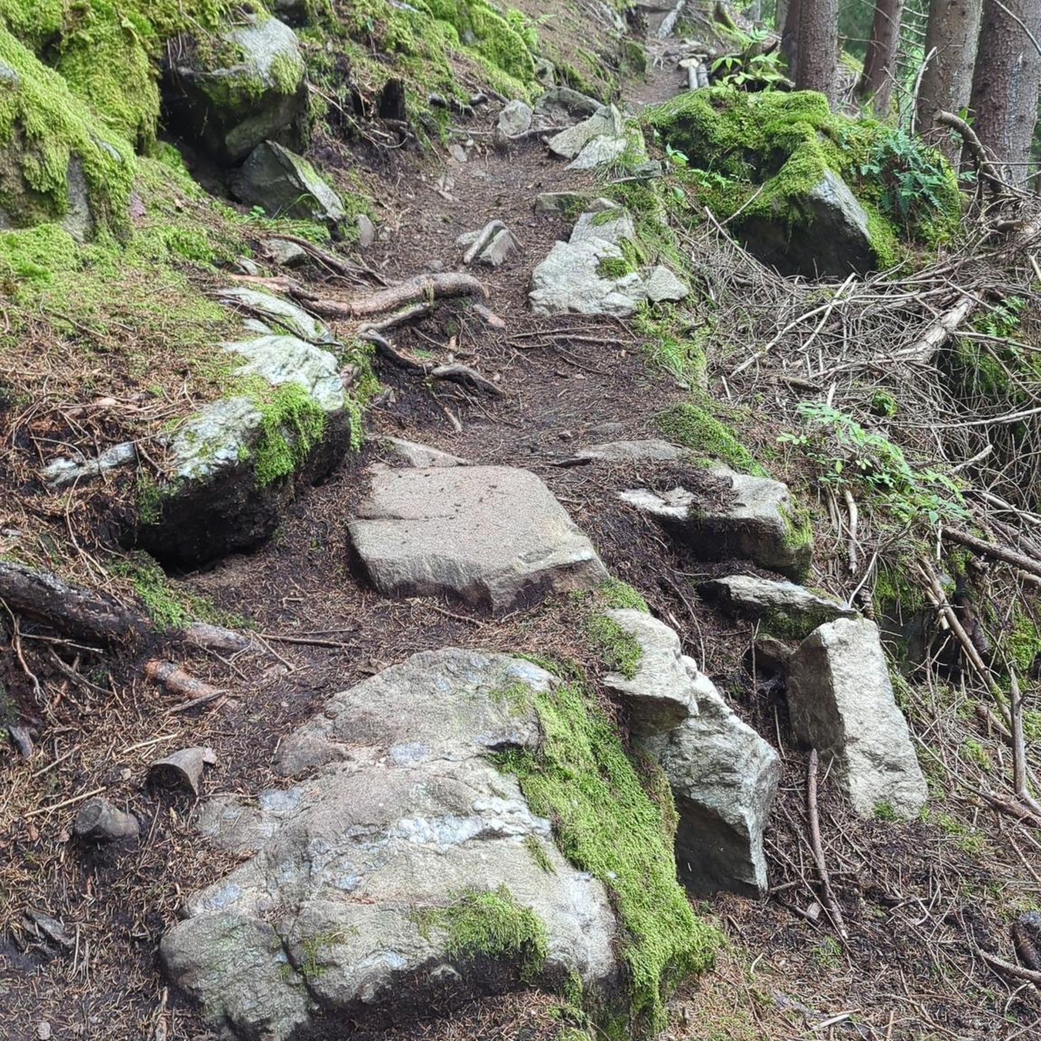
Nice path to summit with some large stepping stones depending on which way you go.
0
0

Easy accent if climbing from the side of the national trust carpark. For a more challenging climb, accend from the opposite side.
0
0

Easy walk, bit rocky at the top, very enjoyable walk
0
0

Formally known as the Sugar Loaf Mountain and is one of the highest peaks in the heart of the Black Mountains. It stands at 1,955 feet high (596 metres). An iconic peak Its conical shape is reminiscent of a volcano, but the mountain is made of the same old red sandstone as the rest of the Black Mountains.
2
0

Keeper’s Pond is an amazing pond, outstanding beauty with great views of the Usk valley 🤩
0
2

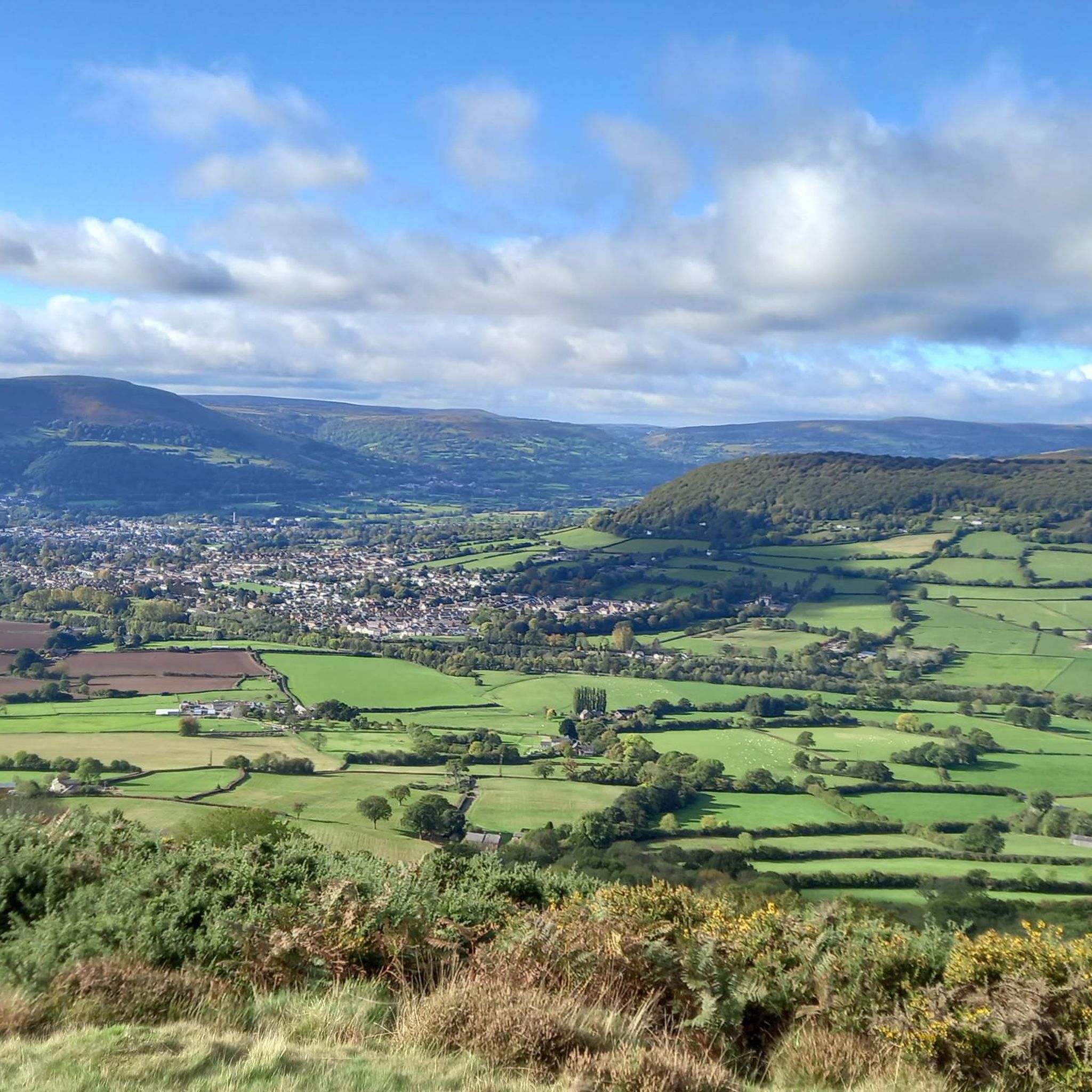
The roads leading to the Sugar Loaf mountain are all very narrow, 1 car width. You may meet oncoming traffic and need to reverse 100m or more to a passing point. Do not be put off! The car park is small but does have an overflow area 200m before you get to it. The walk leads you naturally into a steep decline into a valley, possibly 130m lower. It doesn’t sound much but the climb from that position is significantly harder. My advice would be to walk around this valley and follow the alternate path. Namely when you walk from the car park do not aim for the top but go further to the left. So much easier to do. The views are stunning and totally worth the effort. Enjoy komooters😀
2
0

This summit with beautiful views over the Black Mountains on the border between Wales and England, felt like the real start of the Beacon Way.
0
0
Newly Dragonised by myself 🙌 Blorenge,[2] also called The Blorenge is a prominent hill overlooking the valley of the River Usk near Abergavenny, Monmouthshire, southeast Wales. It is situated in the southeastern corner of the Brecon Beacons National Park. The summit plateau reaches a height of 561 m
1
0
Frequently Asked Questions
What kind of hiking and walking opportunities are available near Llantilio Pertholey's natural monuments?
The region around Llantilio Pertholey offers diverse hiking and walking opportunities, ranging from challenging mountain ascents to tranquil woodland trails. You can find routes that take you up iconic peaks like Sugar Loaf Summit and Skirrid Fawr summit, or explore the peaceful ancient woodlands and meadows of the Gwent Wildlife Trust reserves. For more detailed routes, you can explore guides on hiking and walking around Llantilio Pertholey.
What is the typical terrain and difficulty level for exploring natural monuments in this region?
The terrain varies significantly. Mountain peaks like Skirrid Fawr summit and Sugar Loaf Summit involve challenging, steep climbs, while others like Pen Cerrig-calch summit offer remote, high-level routes. Lower-lying areas, such as the Gwent Wildlife Trust reserves like Strawberry Cottage Wood, feature more tranquil, secluded woodland paths. You'll find a mix of intermediate and challenging trails.
Are there family-friendly natural monuments around Llantilio Pertholey?
Yes, Keeper's Pond (Pen-Ffordd-Goch Pond) is noted as family-friendly, offering great views, picnic spots, and opportunities for wildlife watching. While many mountain ascents can be challenging, some sections of the ancient woodlands and meadows also provide gentler walks suitable for families.
What natural features can I see beyond the main mountain peaks?
Beyond the prominent mountain peaks, the area boasts ancient woodlands and tranquil meadows. The Gwent Wildlife Trust manages several reserves, including Strawberry Cottage Wood, Priory Wood, and Kitty's Orchard, which are rich in biodiversity and offer peaceful retreats. Keeper's Pond is another notable feature, providing a scenic lake environment.
Are there any historical or cultural sites associated with the natural monuments?
Yes, several natural monuments have historical significance. Skirrid Fawr summit contains the ruins of an Iron Age hill fort and a medieval chapel. Crug Hywel (Table Mountain), though not a highlight in this guide, also houses an Iron Age Celtic hillfort. Additionally, the area around Blorenge summit is part of the Blaenavon Industrial Landscape World Heritage Site, with remnants of old tramways and quarries.
What is the best time of year to visit the natural monuments around Llantilio Pertholey?
The natural monuments can be enjoyed year-round, but each season offers a different experience. Spring brings vibrant woodland flowers to ancient sites like Strawberry Cottage Wood. Summer is ideal for longer hikes up the mountain peaks for expansive views. Autumn showcases stunning foliage, particularly in the woodlands. Winter walks can be rewarding, especially on clear days, but require appropriate gear for potentially challenging conditions on higher ground.
Is parking available at the natural monuments, and how accessible are they by public transport?
Parking is available at some locations, such as Keeper's Pond, which is a popular starting point for walks around Blorenge. For other mountain peaks like Skirrid Fawr summit and Sugar Loaf Summit, designated parking areas are typically found at their bases or nearby trailheads. Public transport options directly to the more remote natural monuments can be limited, so planning ahead is advisable, often involving local bus services to nearby towns and then walking or taxi.
What do visitors enjoy most about the natural monuments in this area?
Visitors frequently praise the rewarding views from the summits, such as the spectacular panoramas from Sugar Loaf Summit and Skirrid Fawr summit. The sense of isolation and escape from crowds, particularly at places like Pen Cerrig-calch summit, is also highly valued. The tranquility and rich wildlife of the ancient woodlands are also a significant draw.
Are there any specific tips for hiking the more challenging peaks like Sugar Loaf or Skirrid Fawr?
For challenging peaks like Sugar Loaf Summit and Skirrid Fawr summit, it's recommended to wear good boots due to the steep and sometimes rugged terrain. Despite their moderate height, the climbs can be surprisingly tough. Always check weather conditions before heading out, as the summits can be exposed, and bring sufficient water and supplies.
Can I find cycling routes near these natural monuments?
Yes, the area around Llantilio Pertholey offers various cycling opportunities. You can find challenging road cycling routes that incorporate the region's peaks, such as the 'Three Peaks loop around the Skirrid, the Sugar Loaf and the Blorenge'. There are also mountain biking trails and touring bicycle routes available. For detailed routes and guides, explore the cycling around Llantilio Pertholey, MTB Trails around Llantilio Pertholey, and Road Cycling Routes around Llantilio Pertholey guides.
Are the natural monuments dog-friendly?
Many natural monuments and trails in the Brecon Beacons National Park, which borders Llantilio Pertholey, are dog-friendly. However, it's always best to keep dogs on a lead, especially in areas with livestock or ground-nesting birds, and to follow the Countryside Code. Specific rules may apply to Gwent Wildlife Trust reserves, so check their guidelines if visiting those areas.
What wildlife can I expect to see in the natural monuments?
The diverse habitats around Llantilio Pertholey support a variety of wildlife. Ancient woodlands like Strawberry Cottage Wood are known for charismatic mammals and stunning woodland flowers. Meadows, such as Kitty's Orchard, are flower-rich havens for insects and birds. On the mountain slopes, you might spot various bird species, and Keeper's Pond is a good spot for watching aquatic wildlife.
Are there any hidden or less-visited natural monuments worth exploring?
Pen Cerrig-calch summit is described as a remote and little-visited summit, perfect for explorers keen to escape the crowds while still offering spectacular views. The various Gwent Wildlife Trust reserves, while tranquil, also offer secluded experiences away from more popular mountain routes.
Most popular routes around Llantilio Pertholey
Most popular attractions around Llantilio Pertholey

Get inspired with the komoot mobile app


Explore more
Extend your search for the best caves by checking out these guides of the top ones around Llantilio Pertholey:
