Top 20 Natural Monuments in Monti Del Gennargentu
Best natural monuments in Monti Del Gennargentu are found within this central-southern Sardinian massif, largely encompassed by the Gennargentu National Park. The region is characterized by rugged beauty, diverse ecosystems, and dramatic landscapes. It offers numerous attractions for nature enthusiasts and hikers seeking challenging yet scenic treks through its wild and pristine environment.
Best natural monuments in Monti Del Gennargentu
- The most popular natural monuments is Summit of Punta La Marmora, a summit that is the highest peak in Sardinia, offering panoramic views across the island. It is a challenging yet rewarding trek, traversing diverse landscapes from forests to boulder fields.
- Another must-see spot is Mount Bruncu Spina, a summit and the second-highest peak in Sardinia. It provides panoramic views and is accessible from a car park, making the climb steep but short.
- Visitors also love Perda e Liana, a uniquely shaped, towering rock formation. This natural monument is a symbol of Ogliastra and a key morphological feature of central-eastern Sardinia, visible from afar for hikers.
- Monti Del Gennargentu is known for its impressive summits, unique rock formations, and serene waterfalls. These features offer varied experiences, from challenging hikes to peaceful contemplation spots.
- The natural monuments in Monti Del Gennargentu are appreciated by the komoot community, with more than 80 upvotes and over 60 photos shared.
Last updated: August 29, 2026
Summit of Punta La Marmora
Highlight • Summit
Ideally, start your tour in the parking area at Rifugio Sa Crista or Rifugio S’Arena near Desulo. The route is not short at 15.5 kilometers, but it rewards you with an incredible variety of landscapes. Within a walking time of three and a half to four and a half hours, you will cross picturesque forests, pass flowering meadows and hike across impressive boulder and craggy terrain. Among other things, it goes over the summits of Bruncu Spina and Punta Paulinu.
As you climb from Bruncu Spina towards Punta La Marmora, a huge summit cross might lead you astray. But don't be fooled, because the true summit is only reached when you reach the small rock pyramid that marks the top of La Marmora.
The peak itself was named after the general and scientist Alberto Ferrero della Marmora, who described Sardinia in detail in his works. His love for the island will become clear to you at the summit when you enjoy the breathtaking view.
You should be well prepared for this hike. This means: Sturdy hiking boots, enough water and sun protection should be in your luggage. If you need refreshment in between, you can stop off in the towns of Desulo or Fonni.
The months from June to September are ideal for the tour. But Punta La Marmora is actually a year-round hiking destination for everyone who is looking for something special. Ready for this adventure? Then lace up your hiking boots and experience Sardinia at its best!
Translated by Google •
Tip by

Punta Paulinu
Highlight • Summit
Translated by Google •
Tip by

Sign up now to discover places like this
Get recommendations on the best single tracks, peaks, & plenty of other exciting outdoor places.
Sign up for free
Mount Bruncu Spina
Highlight • Summit
Translated by Google •
Tip by

Perda e Liana
Highlight • Natural Monument
Source: it.wikipedia.org/wiki/Monumento_naturale_Perda_'e_Liana
Translated by Google •
Tip by

Picnic area with a beautiful view
Highlight • Rest Area
Translated by Google •
Tip by
Sign up for free to discover even more natural monuments in Monti Del Gennargentu.
Sign up for free
Already have an account?
Start today with a free account
Your next adventure awaits.
Login or Signup
Popular around Monti Del Gennargentu
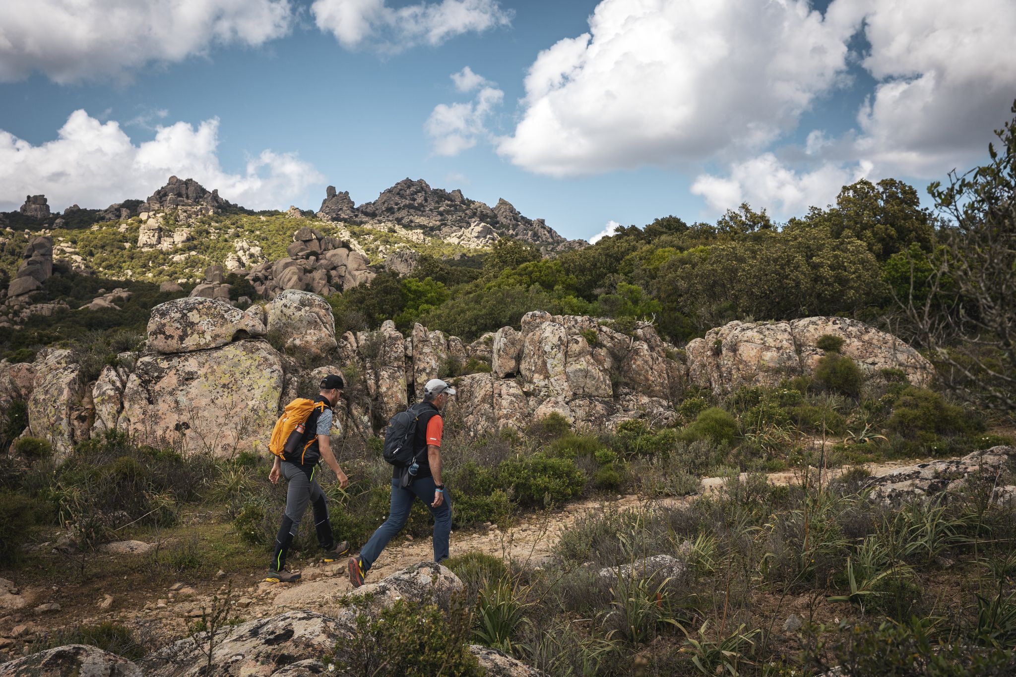
Eternal Sardinia – walks among the wonders of the hinterland
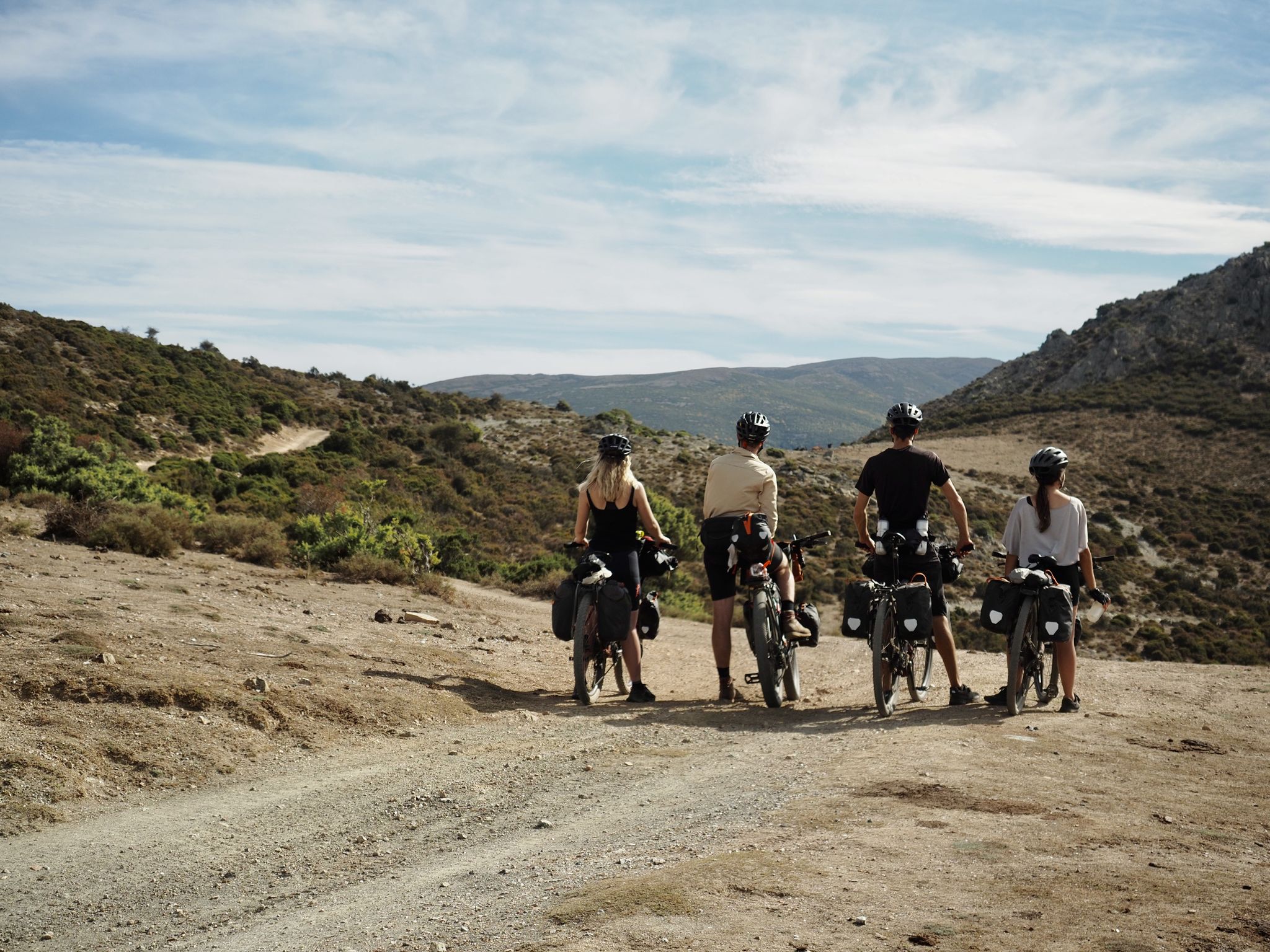
Bikepacking the TranSardinia – the quiet Italian island life
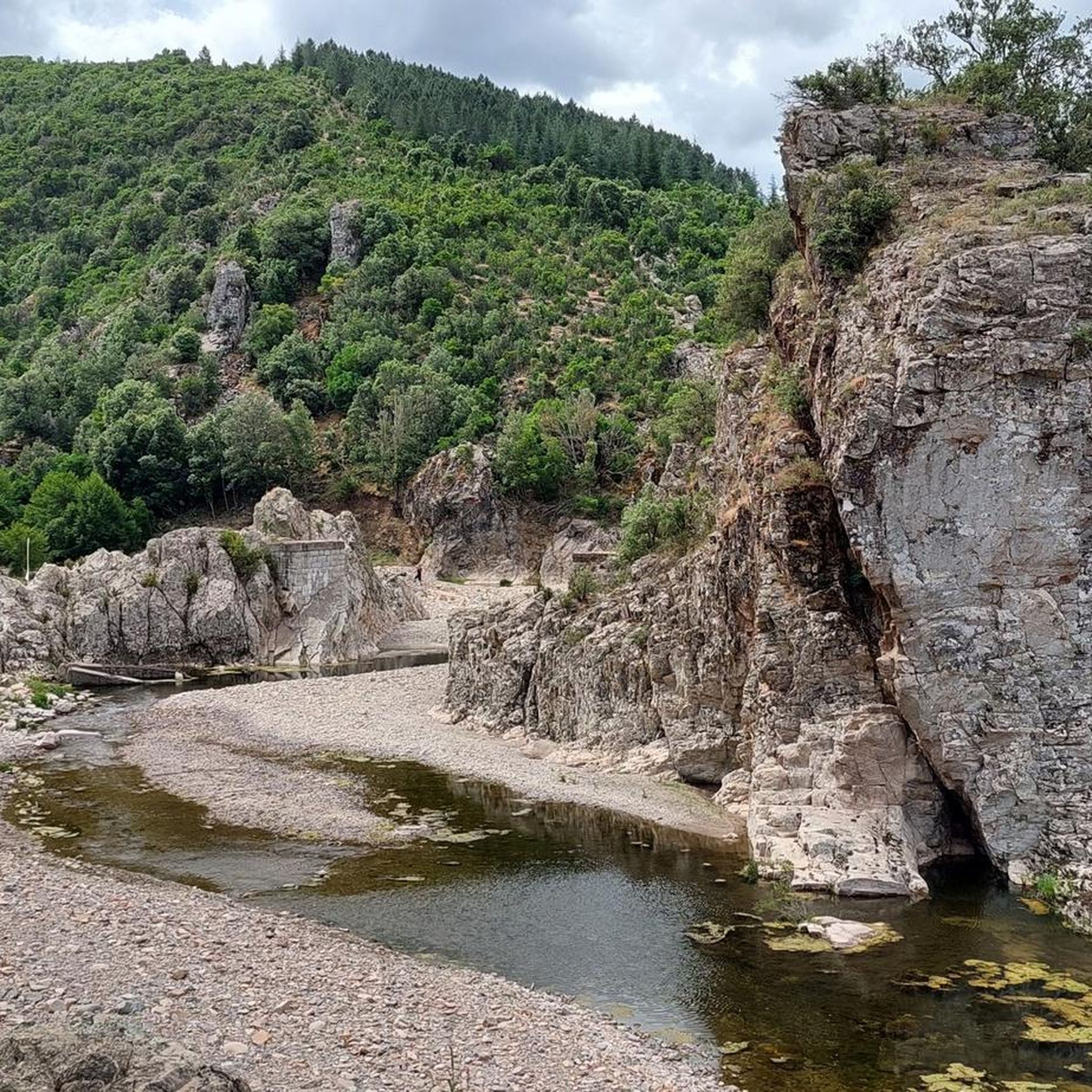
Hiking in Monti Del Gennargentu
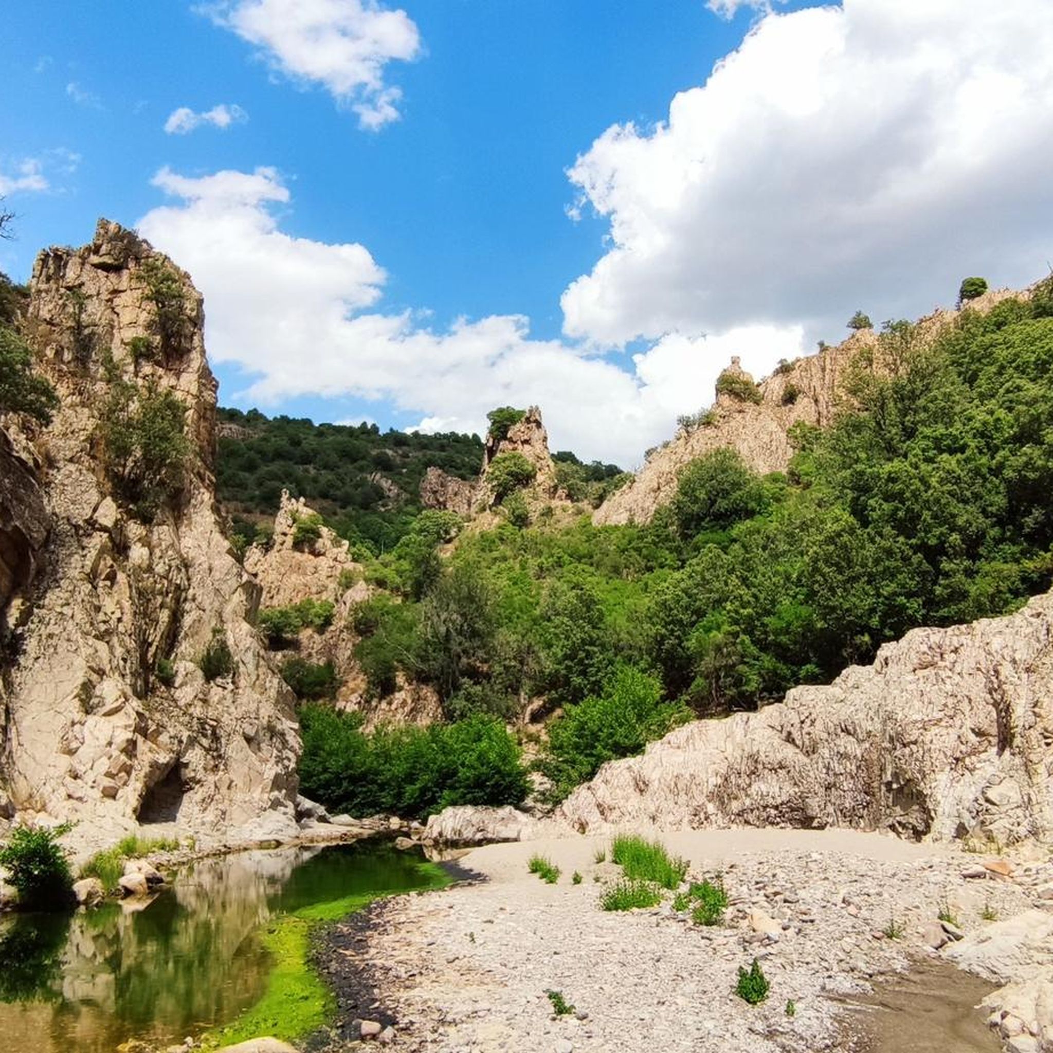
Running Trails in Monti Del Gennargentu
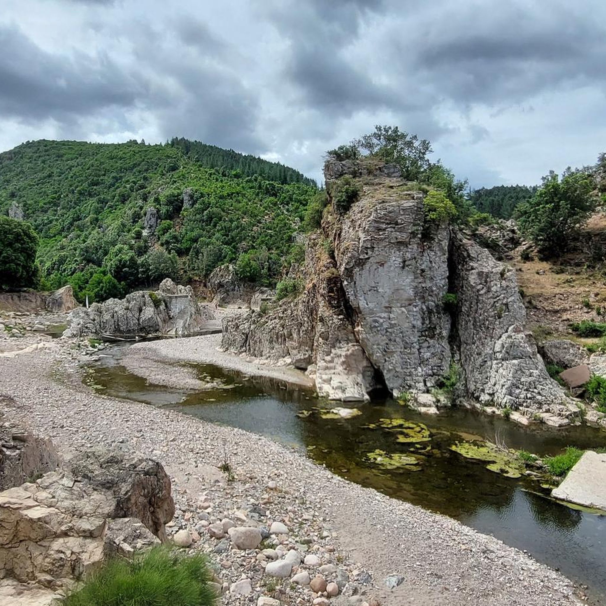
MTB Trails in Monti Del Gennargentu
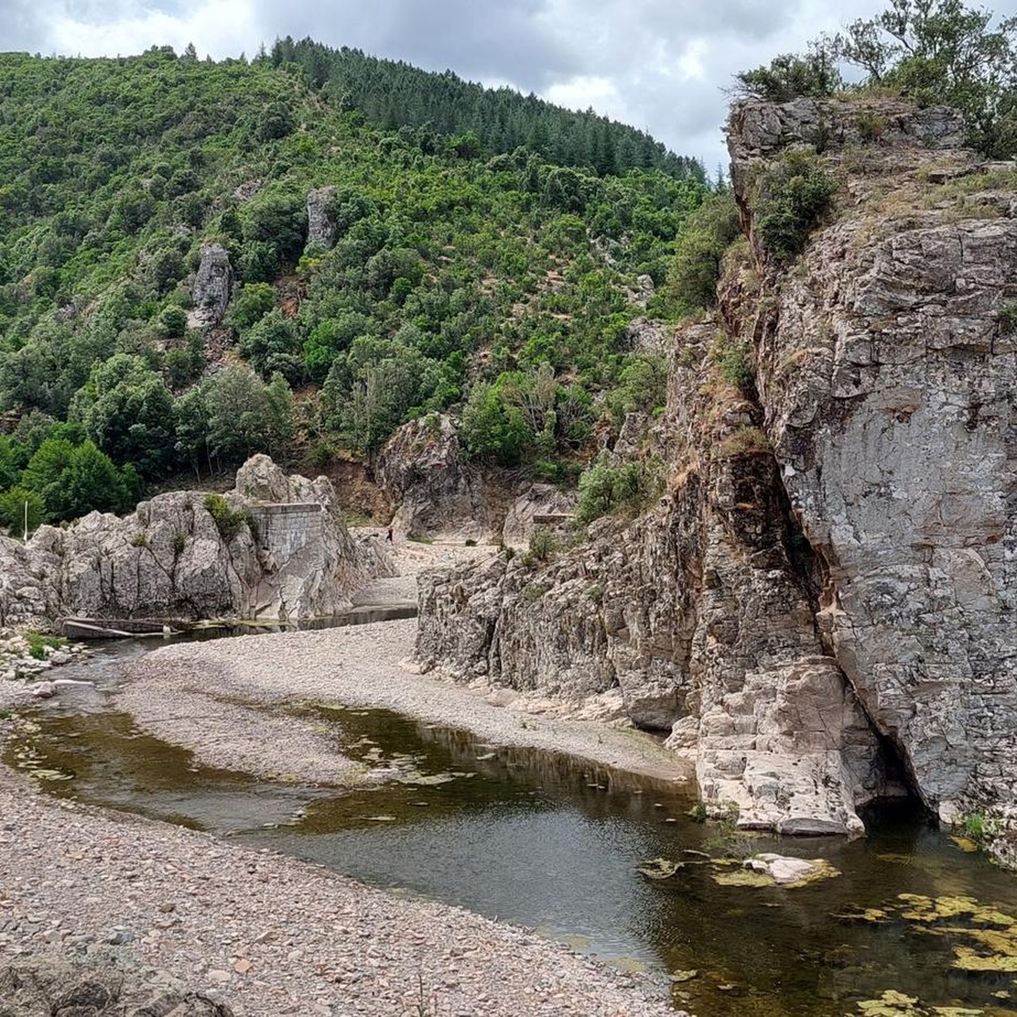
Road Cycling Routes in Monti Del Gennargentu
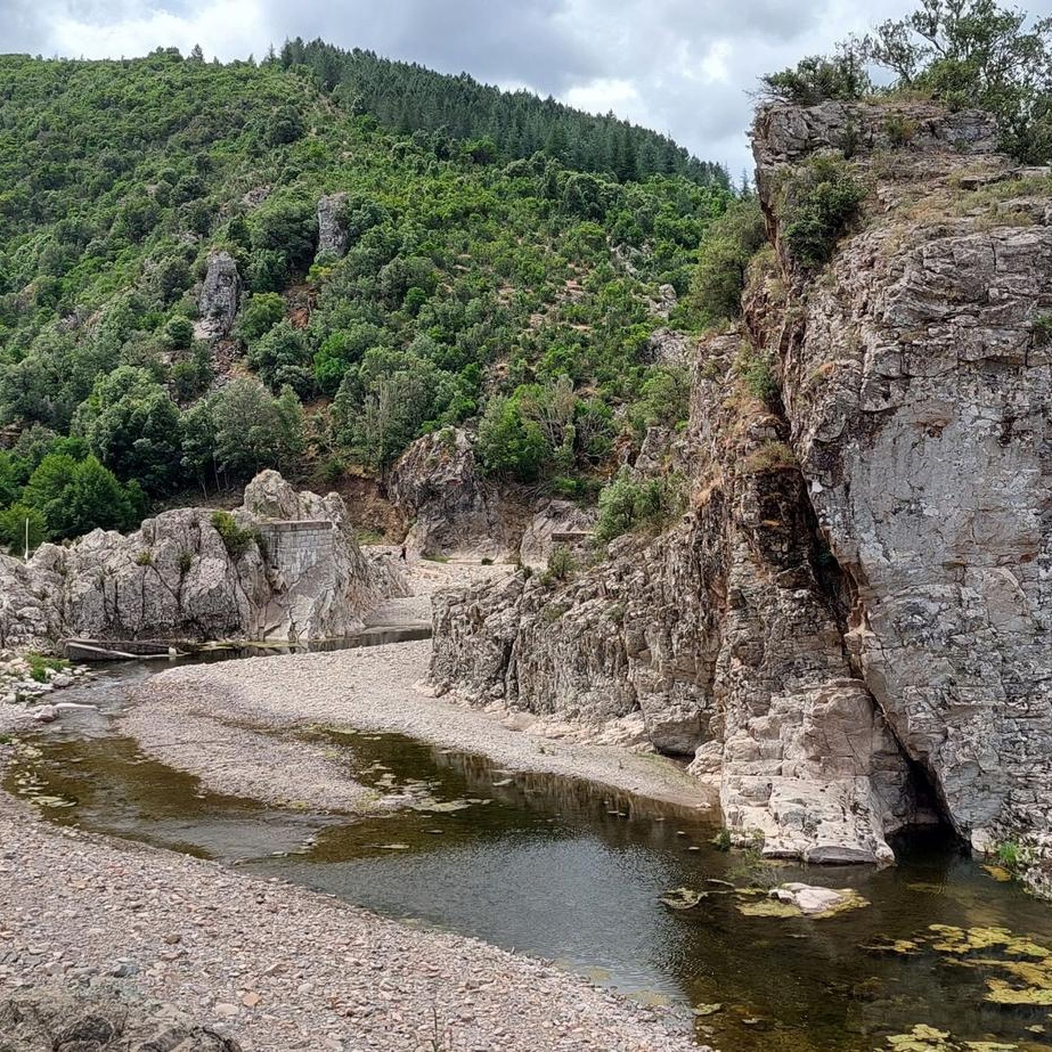
Cycling in Monti Del Gennargentu

Gravel biking in Monti Del Gennargentu


Tips from the Community


A uniquely shaped, towering tower, a natural monument, symbol of Ogliastra, and a key morphological feature of central-eastern Sardinia. Perhaps once a gathering place for the Nuragic peoples, it later became, in popular legend, the entrance to the underworld. It protrudes from the earth like a giant finger reaching toward the sky and, especially in this wild area, is a landmark visible from afar for hikers. Perda 'e Liana is an extraordinary rock formation declared a natural monument in 1993. The peculiar "mountain," known in Sardinian as Taccu or Tonneri, rises in the Gairo Sant'Elena area: it is the greatest witness to the erosive effects of weathering that have been affecting the vast limestone cover of Ogliastra on the border with Barbagia di Seulo for several million years. Erosion gradually isolated the "tower," forming its base. It is the highest (1293 m) of the numerous Ogliastra limestone mountains, the northern foothills of the Tonneri plateau, about two kilometers away, to which it is connected by the s'Arcu 'e su Pirastu Trottu pass. Perhaps in ancient times, they formed a single mountain ridge. Source and further information: https://www.sardegnaturismo.it/de/entdecken/perda-e-liana
0
0

With an all-mountain mountain bike you can do almost everything on the bike, both uphill and downhill
1
0

Imagine standing on the highest point in Sardinia, Punta La Marmora, and your gaze sweeps over the entire island. On a clear day you can even see the silhouettes of Corsica on the horizon. You can put this experience into practice by hiking to the summit of this 1,834 meter high elevation. Ideally, start your tour in the parking area at Rifugio Sa Crista or Rifugio S’Arena near Desulo. The route is not short at 15.5 kilometers, but it rewards you with an incredible variety of landscapes. Within a walking time of three and a half to four and a half hours, you will cross picturesque forests, pass flowering meadows and hike across impressive boulder and craggy terrain. Among other things, it goes over the summits of Bruncu Spina and Punta Paulinu. As you climb from Bruncu Spina towards Punta La Marmora, a huge summit cross might lead you astray. But don't be fooled, because the true summit is only reached when you reach the small rock pyramid that marks the top of La Marmora. The peak itself was named after the general and scientist Alberto Ferrero della Marmora, who described Sardinia in detail in his works. His love for the island will become clear to you at the summit when you enjoy the breathtaking view. You should be well prepared for this hike. This means: Sturdy hiking boots, enough water and sun protection should be in your luggage. If you need refreshment in between, you can stop off in the towns of Desulo or Fonni. The months from June to September are ideal for the tour. But Punta La Marmora is actually a year-round hiking destination for everyone who is looking for something special. Ready for this adventure? Then lace up your hiking boots and experience Sardinia at its best!
5
2

Climbing to Punta La Marmora from Bruncu Spina you first reach the pre-summit, which is misleading with its enormous summit cross. To reach the highest peak in Sardinia, you need to continue further south until you reach a small rock pyramid. This marks La Marmora's peak share of 1,833.
3
2
If you reach Punta Paulinu from Mount Bruncu Spina by walking on the high path, as you approach the rocky peak you can see on the left (towards the south-east) the famous rock formation called "Arcu Gennargentu", which is a set of three rocks that it forms a natural arch overlooking Mount Bruncu Spina on one side and the Sardinian panorama to the east.
2
2
Mount Bruncu Spina (Cardo peak), with its 1,829 meters above sea level, is the second peak in Sardinia. The summit can be easily reached from the car park at the foot of the chairlift, near the refuge of the same name (now closed). The climb is steep but short. It's worth the effort to enjoy the views from this grassy summit.
2
0

Punta La Marmora, which rises 1,834 meters above sea level, is the highest peak in Sardinia. It is located in the Gennargentu massif. A cross crowns the top of this magnificent place. Running up here isn't difficult, except for some occasionally steep sections. It's not very technical; you just have to be fit. The breathtaking views make it truly extraordinary. You can see up to the lake of the upper Flumendosa, Perda Liana and Arbatax, if the fog allows it, and on the other side you can range up to Oristano. It's incredible.
1
0
Frequently Asked Questions
What are some of the most impressive natural monuments in Monti Del Gennargentu?
The region boasts several remarkable natural monuments. Among them, Punta La Marmora stands as Sardinia's highest peak, offering unparalleled panoramic views. Another significant site is Perda e Liana, a uniquely shaped, towering rock formation that serves as a symbol of Ogliastra. The dramatic Pirincanes Waterfall also provides a serene and beautiful natural experience.
What is the best time to visit the natural monuments in Monti Del Gennargentu?
The months from June to September are ideal for visiting the natural monuments, especially for higher peaks like Punta La Marmora. However, the region is generally a year-round hiking destination. Spring is particularly beautiful, with prairies adorned with colorful peonies and the intense fragrance of blooming thyme.
What kind of views can I expect from the natural monuments in Monti Del Gennargentu?
From peaks like Punta La Marmora and Mount Bruncu Spina, you can expect breathtaking panoramic views across the entire island of Sardinia. On a clear day, it's even possible to see the silhouettes of Corsica. The region's rugged peaks offer continuous, expansive vistas.
Are there family-friendly natural monuments or activities in Monti Del Gennargentu?
Yes, there are options for families. For instance, the Picnic area with a beautiful view is a designated family-friendly spot with tables and benches under trees, and even a source of drinking water. While some trails are challenging, there are also easier paths and scenic spots suitable for a family outing.
What is the typical difficulty level of hiking trails to these natural monuments?
The difficulty varies. Many trails to prominent natural monuments like Punta La Marmora are considered challenging or intermediate, involving diverse landscapes from forests to boulder fields. However, some summits like Mount Bruncu Spina can be reached via a steep but shorter climb from a car park, making them more accessible. Always check specific route details for difficulty.
What outdoor activities can I do near the natural monuments in Monti Del Gennargentu?
Beyond exploring the monuments themselves, the region offers a variety of outdoor activities. You can find numerous running trails, including challenging loops like the Bruncu Spina - Punta La Marmora Loop. There are also gravel biking opportunities, with routes like the Ulassai – The Stone Mushroom of Ulassai loop. For those who enjoy water features, several waterfall hikes are available, such as the Bau Mela Natural Pools loop. You can find more details on these activities in the Running Trails in Monti Del Gennargentu, Gravel biking in Monti Del Gennargentu, and Waterfall hikes in Monti Del Gennargentu guides.
What kind of wildlife can I encounter near the natural monuments?
The Monti Del Gennargentu region is rich in biodiversity. You might encounter various wildlife, including the royal eagle, mouflon, wild boar, and the elusive Sardinian wildcat (Felis lybica sarda). Hikers on routes like Monte Fumai and Monte Santu Juvanne often spot roaming animals like horses and cows, adding to the immersive natural experience.
What should I wear for hiking in Monti Del Gennargentu?
For hiking in Monti Del Gennargentu, it's essential to be well-prepared. This means wearing sturdy hiking boots, bringing enough water, and having sun protection. Layered clothing is advisable to adapt to changing weather conditions, especially at higher altitudes.
Are there any unique geological formations besides the peaks?
Absolutely. Besides the prominent peaks, the region is home to the dramatic Perda e Liana, a towering rock formation that stands as a testament to millions of years of erosion. The Piricanis Gorges also showcase impressive geological formations, with narrow, winding passages flanked by towering rock walls carved by water erosion.
What do visitors enjoy most about the natural monuments in Monti Del Gennargentu?
Visitors frequently praise the breathtaking panoramic views, the diverse and pristine natural landscapes, and the rewarding challenge of the treks. The serene beauty of waterfalls and the unique geological formations also receive high appreciation. The komoot community has shared over 60 photos and given more than 80 upvotes, highlighting the region's appeal.
Are there any facilities like picnic areas available near the natural monuments?
Yes, there are facilities to enhance your visit. For example, a Picnic area with a beautiful view is conveniently located just meters from the road, offering tables and benches under trees, and even a source of drinking water. These spots are perfect for a break amidst your exploration.
Can I reach the natural monuments by car, or is public transport an option?
While some natural monuments, like Mount Bruncu Spina, are accessible from a car park, allowing for a shorter climb, public transport options can be limited in this rugged region. It is generally recommended to have a car for greater flexibility and access to trailheads and more remote natural sites.
Most popular routes in Monti Del Gennargentu
Most popular attractions in Monti Del Gennargentu

Get inspired with the komoot mobile app


Explore more
Extend your search for the best caves by checking out these guides of the top ones in Monti Del Gennargentu:
