Top 3 Mountain Passes around Traunsee
Best mountain passes around Traunsee offer diverse routes and viewpoints in Upper Austria. The region features a variety of mountain junctions and scenic trails that provide pass-like experiences. These routes connect valleys and offer access to different landscapes within the Salzkammergut region. Visitors can explore both traditional passes and elevated points with extensive views.
Best mountain passes around Traunsee
- The most popular mountain pass is Gmundnerberg–Grasberg Junction, a mountain pass that serves as a vertex between Altmünster and Reindlmühl.…
Last updated: September 26, 2026
Gmundnerberg–Grasberg Junction
Highlight • Mountain Pass
Translated by Google •
Tip by

View of the Höllengebirge
Highlight • Viewpoint
Translated by Google •
Tip by

Sign up now to discover places like this
Get recommendations on the best single tracks, peaks, & plenty of other exciting outdoor places.
View of Traunsee and Totes Gebirge from Spitzlsteinalm
Highlight • Viewpoint
Tip by

Kleiner Sulzkogel
Highlight • Natural Monument
Translated by Google •
Tip by

Start today with a free account
Your next adventure awaits.
Popular around Traunsee
Way of the Book – Hike in the footsteps of the Bible smugglers in Austria
Voralpenweg 04 – From Vienna to Bad Reichenhall
BergeSeen Trail – Long distance hiking in Austria's Salzkammergut with mountains and lakes galore
Cycling like a Kaiser – From lake to lake in Austria's Salzkammergut
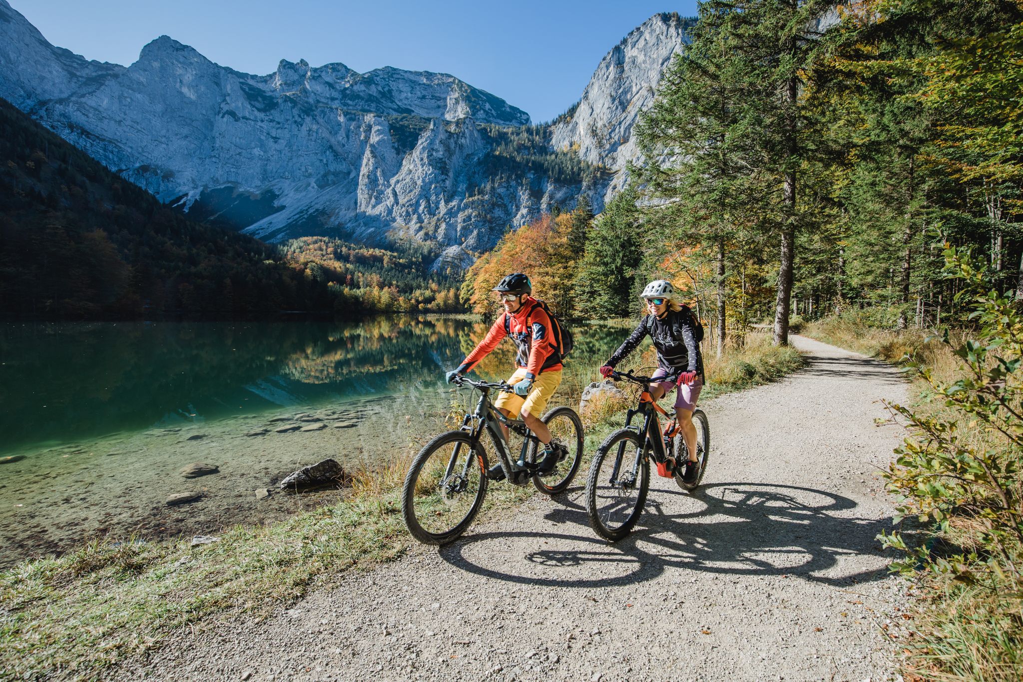
Between mountains and lakes – MTB in Salzkammergut
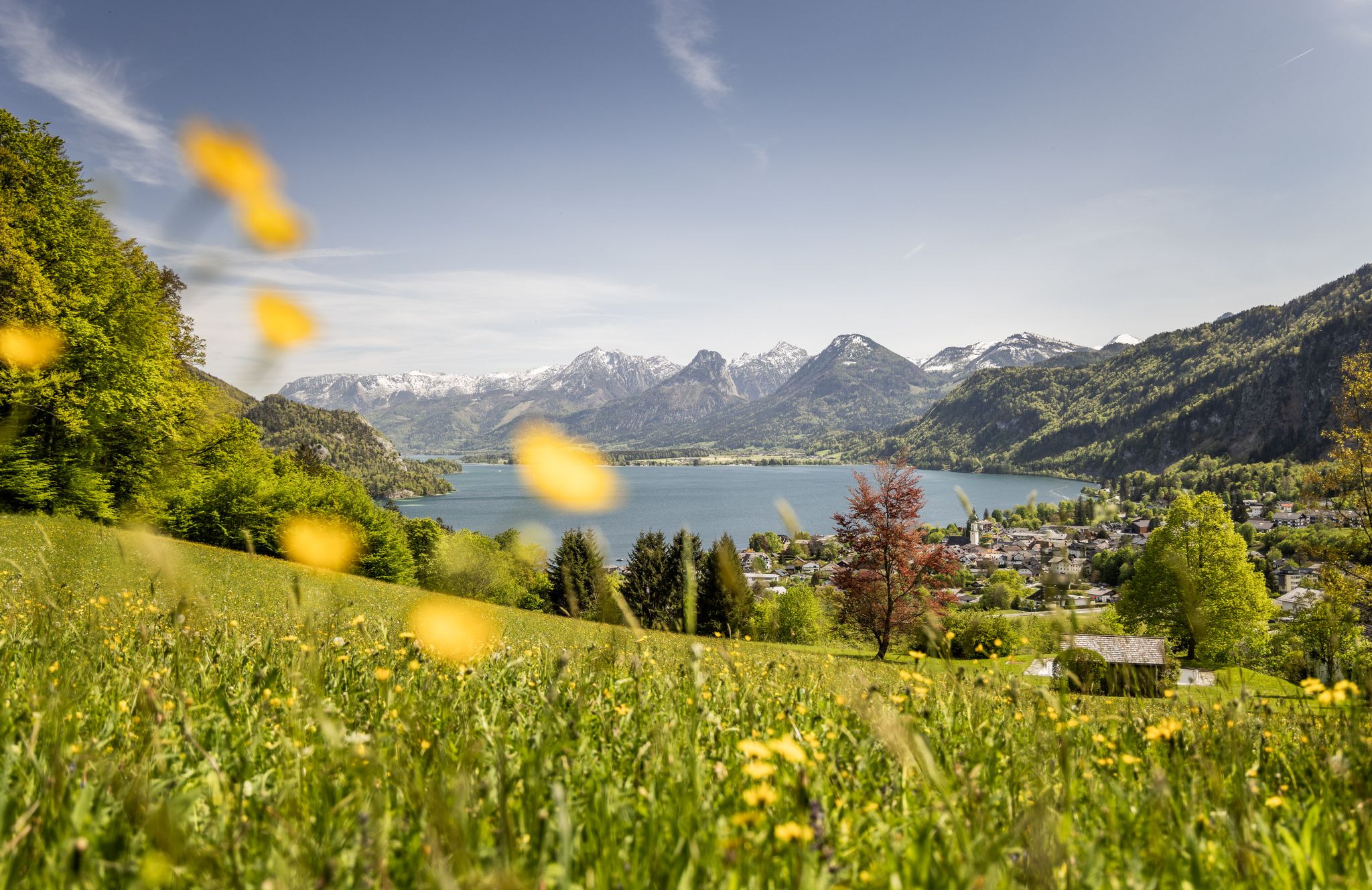
Between water and rock – hiking in Salzkammergut
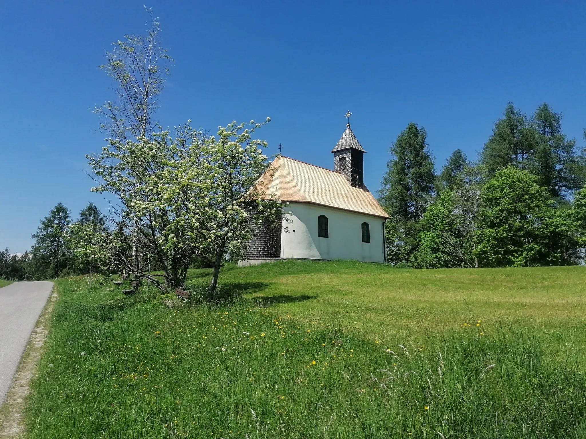
A spiritual loop between two Austrian lakes – Josefweg
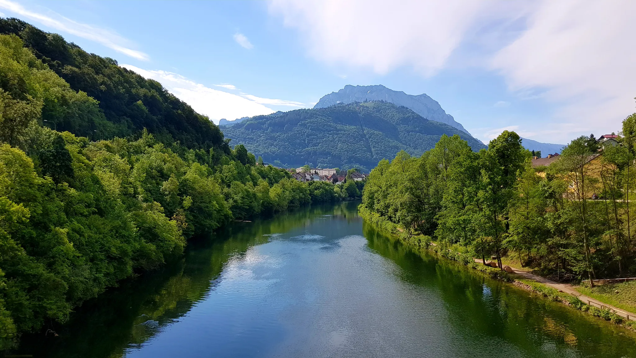
Following the Traun Bike Trail through the diverse region of Upper Austria
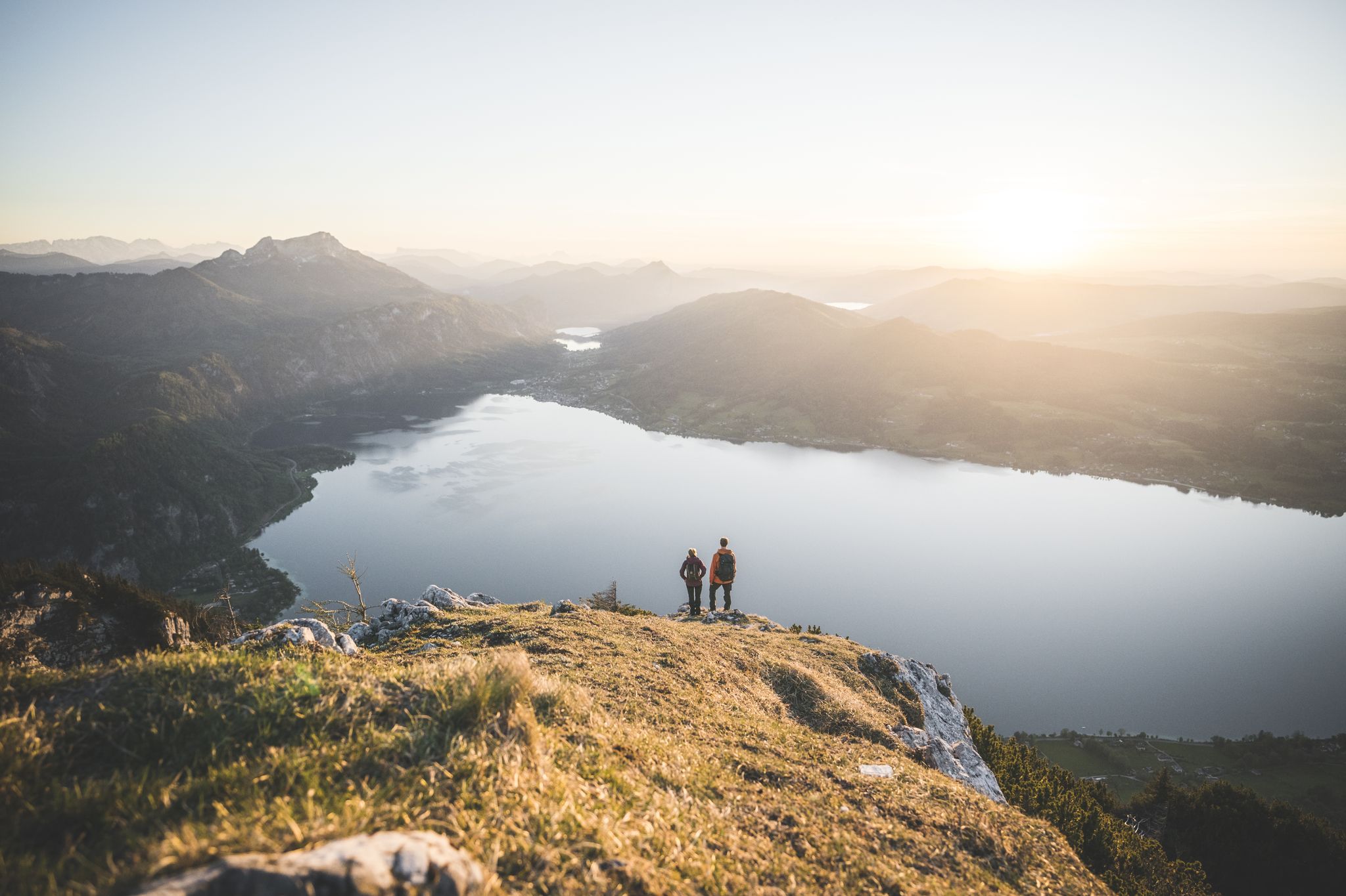
Explore the Salzkammergut on the BergeSeen Trail
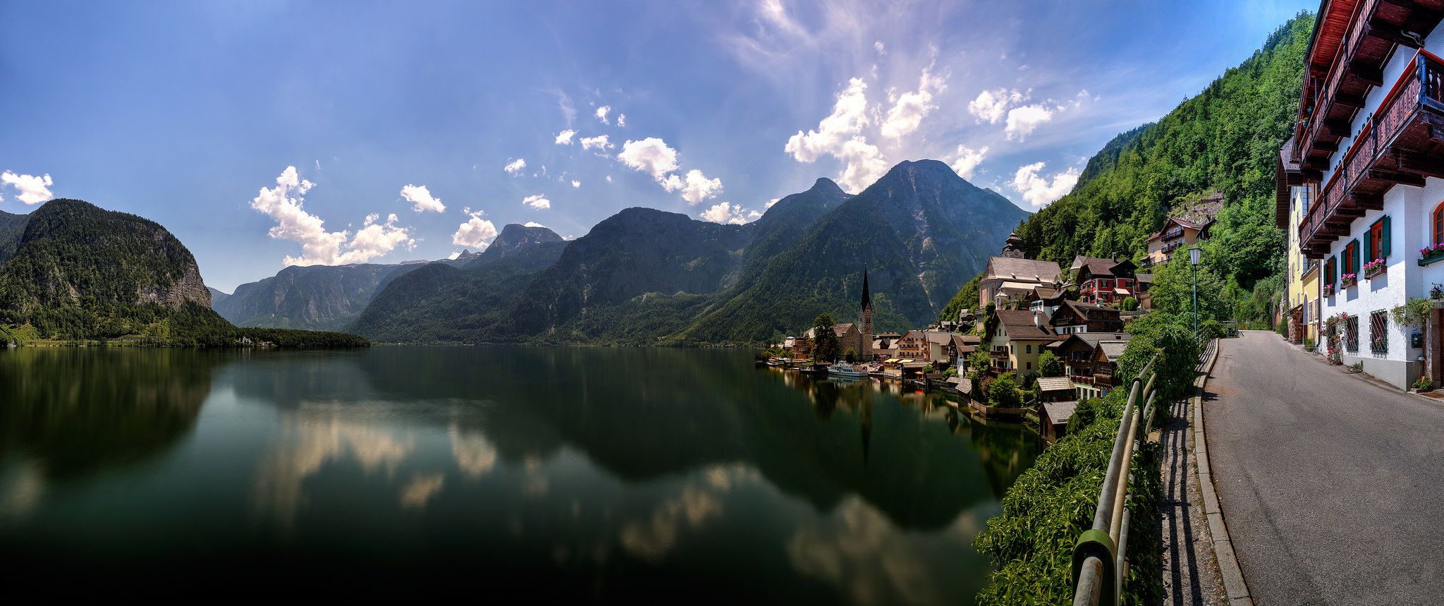
The road bike paradise Salzkammergut
Other adventures around Traunsee


Tips from the Community

beautiful view from the lake into the Höllengebirge
0
0
beautiful view of the lake and the Dachstein
0
0

A great view of Lake Traunsee and easy to ride on a mountain bike.
2
0

A good part of the way has already been accomplished, but the climb is still challenging!
1
0

It's even more fun going down ;-) very good route - typical Upper Austria forest highway.
1
0

Really great view in a fantastic area.
0
0

The Gmundnerberg Grasberg intersection is a point where two roads that lead to the mountains of the same name meet. The road to Gmundnerberg is a paved mountain road that leads to several inns, an observatory, a therapy center and a lookout point with a panoramic view of Lake Traunsee and the surrounding mountains. The road to Grasberg is a narrow gravel road that leads to a meadow-rich hill with a few farms and a small summit cross. The crossing is at an altitude of around 600 meters and can be reached from Altmünster. From the intersection you have a beautiful view of the Pinsdorfberg, a wooded foothill of the Gmundnerberg, on which there is a marl quarry. The intersection is a good starting point for hiking or cycling tours to the two mountains.
1
0

Great view over the Traunsee and Totes Gebirge
3
0
Frequently Asked Questions
Are there family-friendly mountain passes or routes around Traunsee?
Yes, the Traunsee region offers several family-friendly options. The Gmundnerberg–Grasberg Junction, for instance, provides access to the Gmundnerberg, which has a paved road leading to inns and a lookout point, suitable for a scenic drive or comfortable visit. Additionally, Grünberg is known as a "Family Mountain" with a cable car, treetop walk, summer toboggan run, and adventure playground, offering barrier-free hiking paths.
What kind of views can I expect from the mountain passes in the Traunsee region?
The mountain passes and elevated routes around Traunsee offer exceptional panoramic views. From the Gmundnerberg–Grasberg Junction, you can see Lake Traunsee and the surrounding mountains. Higher points like Kleiner Sonnstein provide excellent views over Lake Traunsee, the Tote Gebirge, and the Höllengebirge. You can also find great vistas of Lake Traunsee and the Totes Gebirge from Spitzlsteinalm, as highlighted by visitors.
Are there challenging mountain pass hikes in the Traunsee area?
For experienced hikers and mountaineers, Traunstein (1,691 m) offers challenging ascent routes like the Naturfreundesteig, Hernlersteig, and Mairalmsteig, known for their steep and demanding sections. The Kleiner Sulzkogel also presents a challenging climb with rewarding views of the lake and Dachstein.
What are some easy mountain passes or routes for beginners around Traunsee?
While many routes involve some elevation, the Gmundnerberg side of the Gmundnerberg–Grasberg Junction is accessible via a paved mountain road, making it suitable for a comfortable visit. For easy hikes, you can explore routes like the "View of Lake Traunsee – Kaltenbach Gorge loop" or the "Toscanapark – Ort Castle loop" which are part of the Easy hikes around Traunsee guide.
When is the best time of year to visit the mountain passes around Traunsee?
The best time to visit the mountain passes around Traunsee is generally from spring to autumn (May to October) when the weather is milder and trails are clear of snow. This period is ideal for hiking, cycling, and enjoying the panoramic views. Some lower-lying routes might be accessible earlier or later, but higher passes can retain snow into late spring.
Can I find circular walks among the mountain passes in the Traunsee region?
Yes, the region offers opportunities for circular walks. While specific mountain passes might be part of longer routes, a circular hike around Traunstein is an option for experienced hikers. Many hiking trails in the broader Traunsee area, such as those found in the Easy hikes around Traunsee guide, are designed as loops, allowing you to return to your starting point.
What outdoor activities can I do near the mountain passes around Traunsee?
Beyond exploring the passes themselves, the Traunsee region offers diverse outdoor activities. You can enjoy traffic-free bike rides, with routes like the "Traunweg and Römerradweg Loop" available in the Traffic-free bike rides around Traunsee guide. Hiking is very popular, with options ranging from easy city hikes to more challenging mountain trails. Grünberg also offers a summer toboggan run and adventure playground.
Are there mountain passes that connect different lakes in the Salzkammergut region?
Yes, the Großalmhöhe Pass, situated at 840 meters within the Höllengebirge mountain range, provides a route connecting Lake Traunsee and Lake Attersee. This allows for exploration of the diverse landscapes between these two prominent Salzkammergut lakes.
What do visitors enjoy most about the mountain passes in the Traunsee region?
Visitors consistently highlight the stunning panoramic views as a major draw. Many appreciate the diverse terrain, from paved mountain roads to rustic gravel paths, and the opportunity to access multiple routes from key junctions. The sense of accomplishment from challenging climbs and the unique natural features, such as those seen from Spitzlsteinalm, are also frequently mentioned.
Are there mountain passes suitable for cycling or mountain biking?
Yes, some mountain passes and routes are suitable for cycling. The Gmundnerberg side of the Gmundnerberg–Grasberg Junction features a paved mountain road that is popular for cycling. Additionally, the region offers various mountain biking opportunities, including routes like "Lake Laudach – View of Laudachsee loop from Pinsdorf" which can be found in the Traffic-free bike rides around Traunsee guide.
What is the Durchgang Pass and what makes it significant?
The Durchgang Pass, located at an elevation of 1,158 meters, is significant because it marks the watershed between the Traun and Alm rivers. All waters from this point eventually flow into the Black Sea. It serves as a key junction for exploring different valleys, providing starting points for routes towards Lake Traunsee via the Mairalm or leading down to Grünau.
Most popular routes around Traunsee
Most popular attractions around Traunsee

Get inspired with the komoot mobile app


Explore more
See even more epic mountain passes by checking out these guides around Traunsee:
