Top 20 Natural Monuments around Bendorf
Best natural monuments around Bendorf offer diverse landscapes for exploration, from geological formations to tranquil valleys. The region is characterized by its scenic river landscapes, dense forests, and unique geological features shaped by ancient volcanic activity. Visitors can explore a variety of natural sites, including rugged hills, serene valleys, and impressive rock outcrops. These areas provide opportunities for hiking and appreciating the local flora and fauna.
Best natural monuments around Bendorf
- The most popular natural monuments is Brexbach Valley,…
Last updated: October 10, 2026
Translated by Google •
Tip by

Laubach Waterfall
Highlight • Waterfall
Translated by Google •
Tip by

Sign up now to discover places like this
Get recommendations on the best single tracks, peaks, & plenty of other exciting outdoor places.
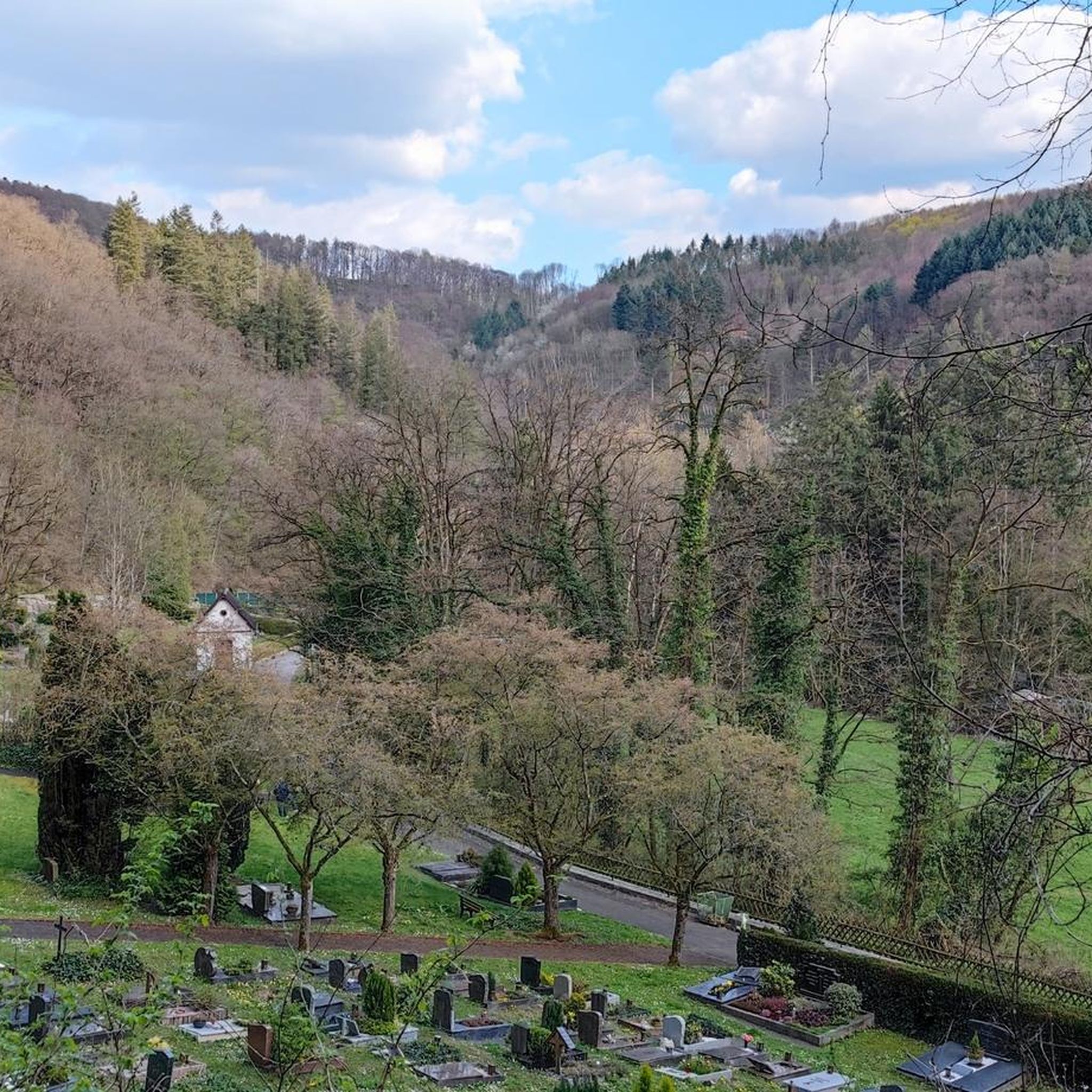
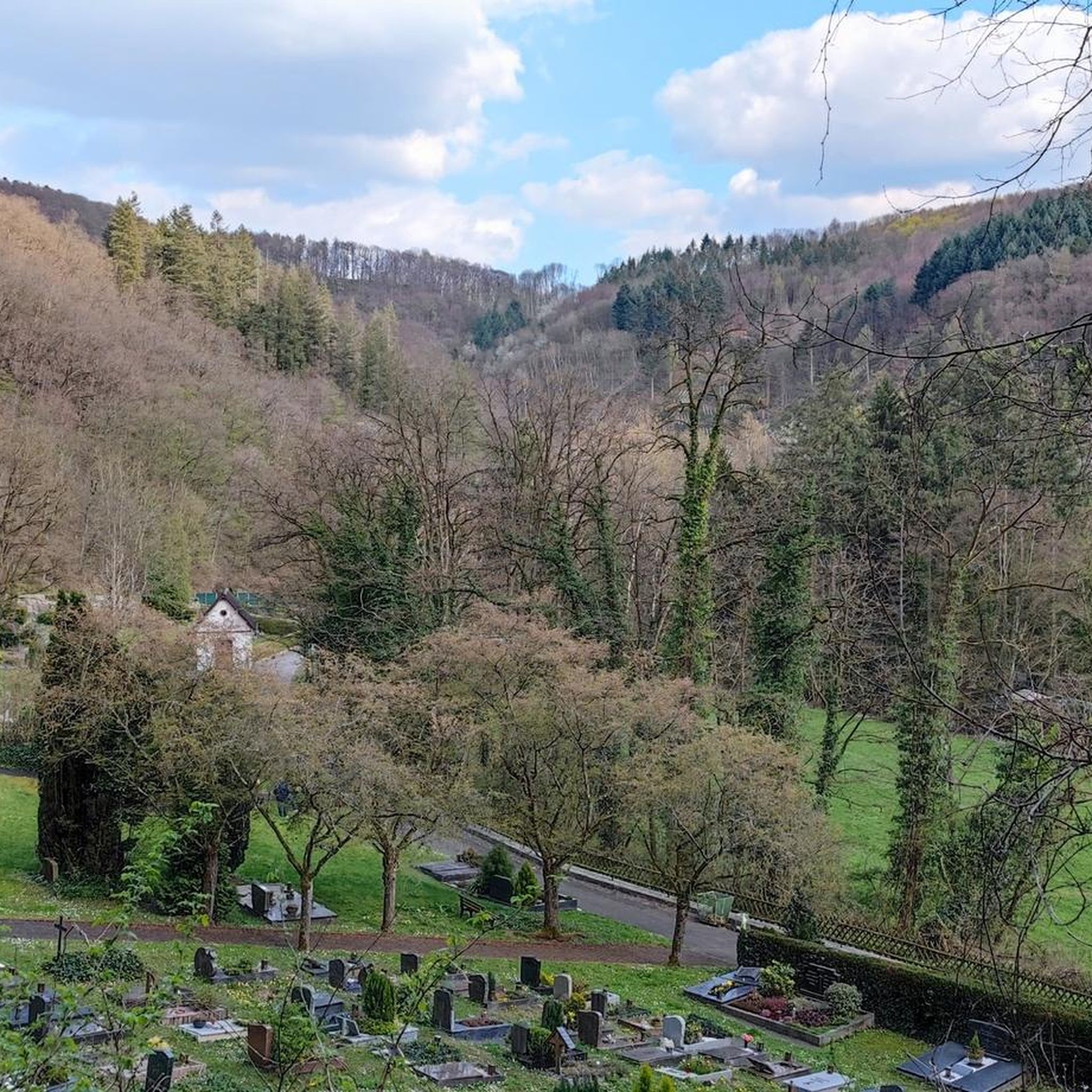
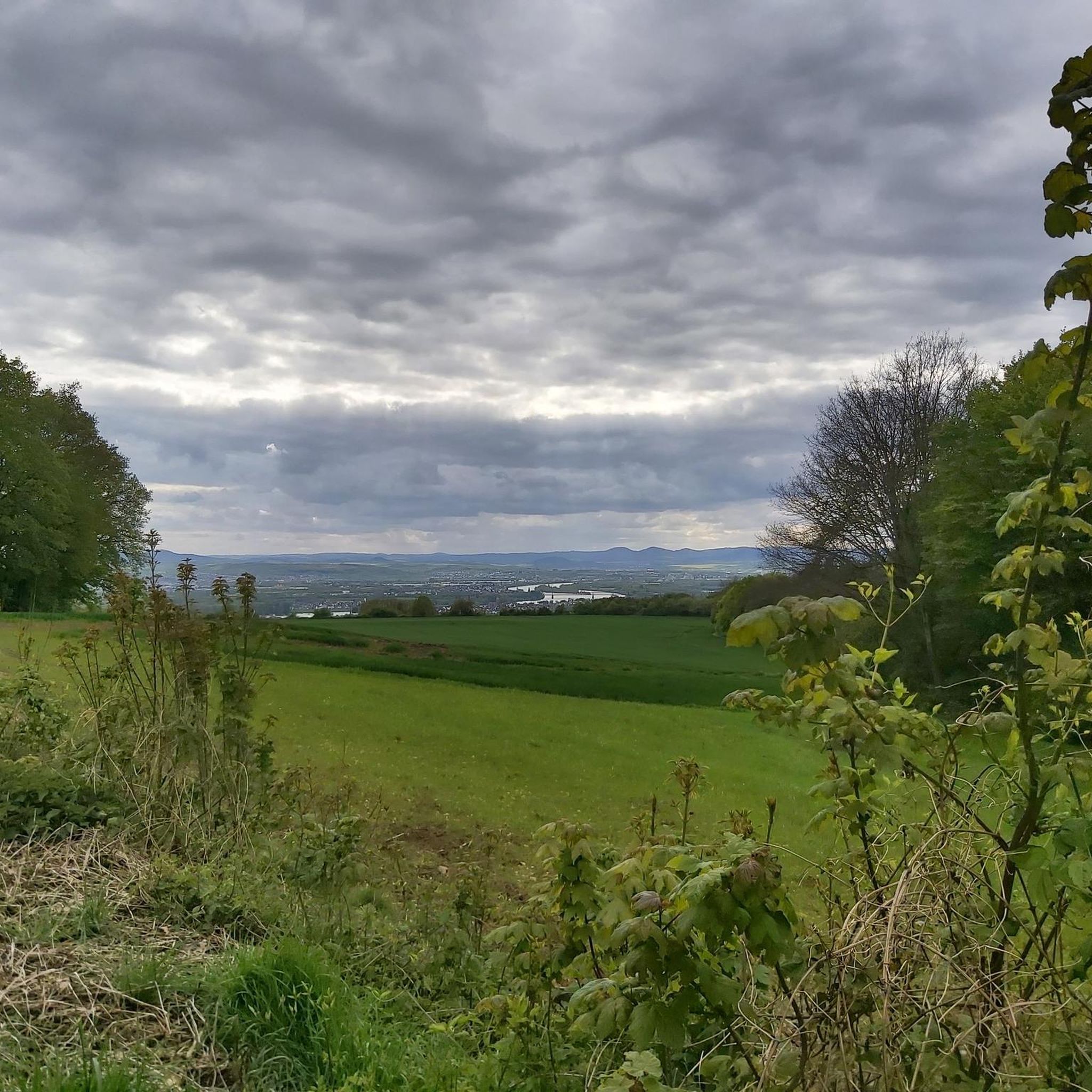
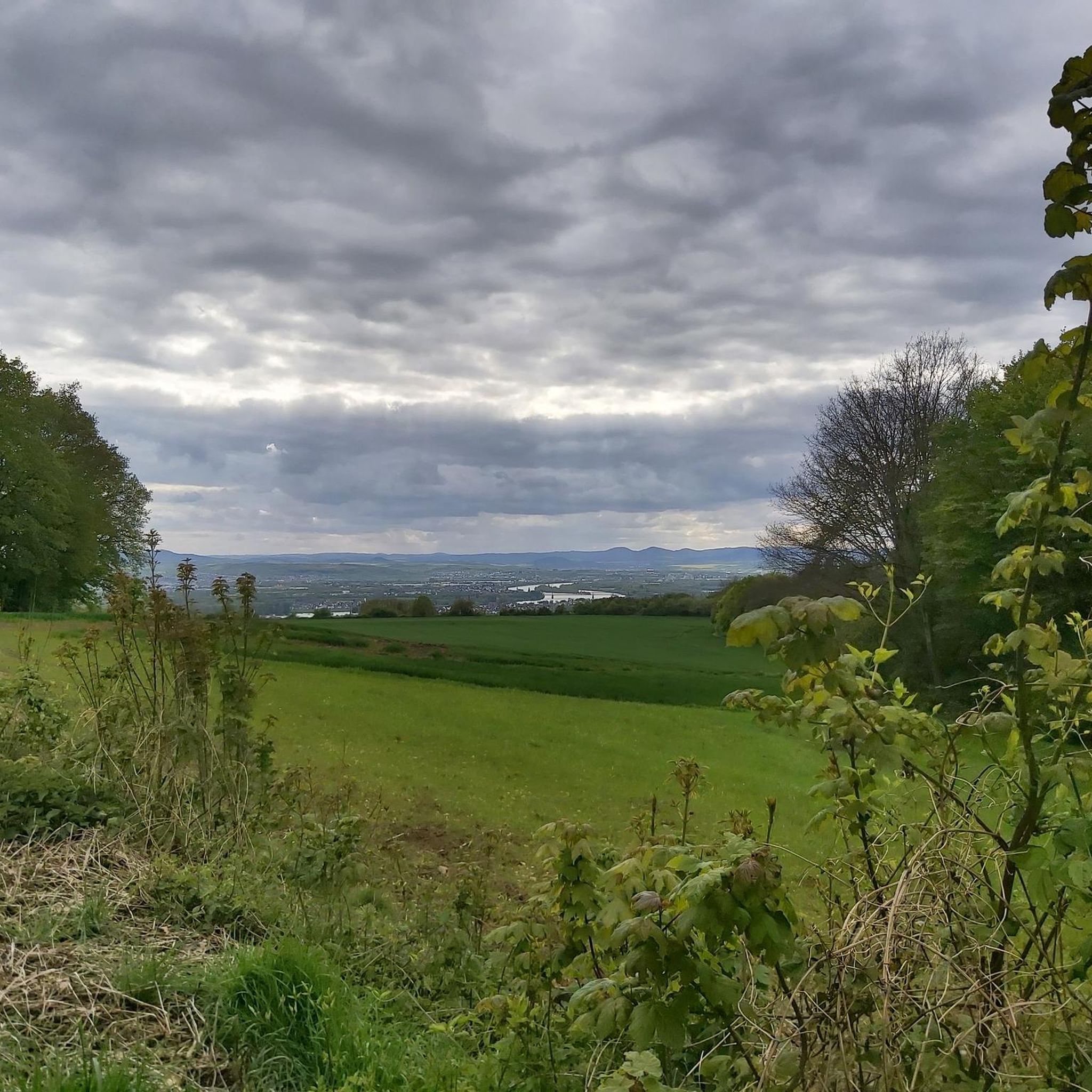
View over the Brexbach Valley from Teufelsberg
Highlight • Viewpoint
Translated by Google •
Tip by

Alarmstange (545 m) – Highest Point of the Montabaurer Höhe
Highlight • Summit
Translated by Google •
Tip by

Brexbach Valley
Highlight • Gorge
Translated by Google •
Tip by

Sign up for free to discover even more natural monuments around Bendorf.
Already have an account?
Start today with a free account
Your next adventure awaits.
Popular around Bendorf
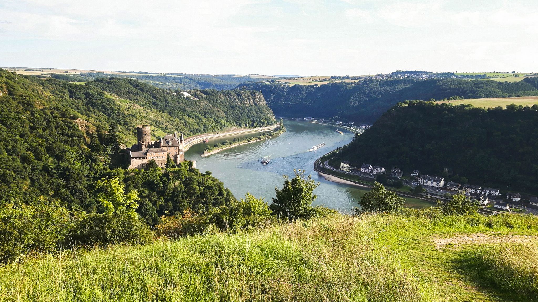
Rheinsteig Trail – The 21 stages along the Rhine
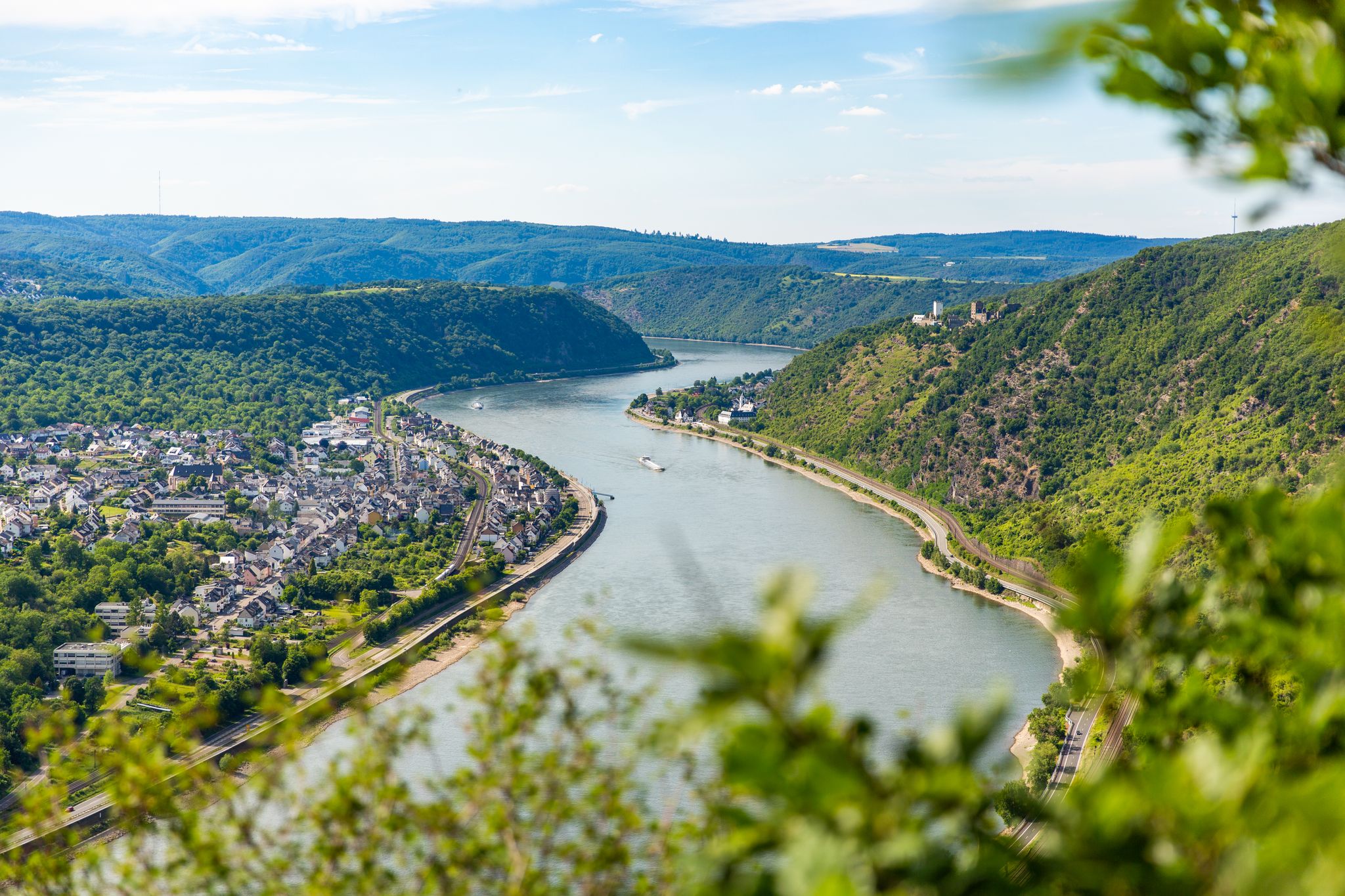
Up and down along the Rhine – adventure on the Rheinsteig

Dream Trails in the Rhine-Mosel-Eifel Region – Small Trails, Great Nature
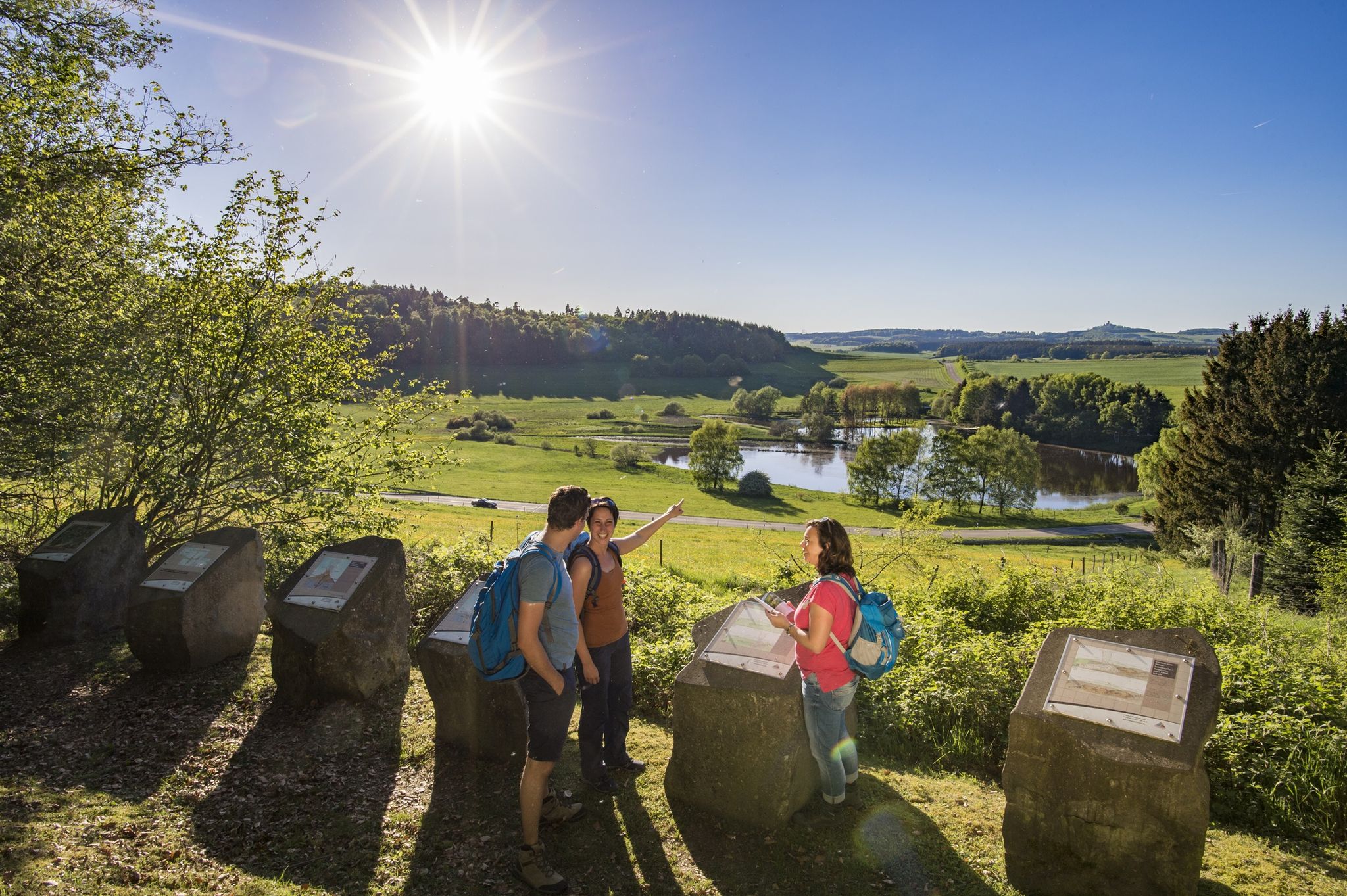
Traumpfade – dreamy, varied hiking trails in Rhein-Mosel-Eifel-Land
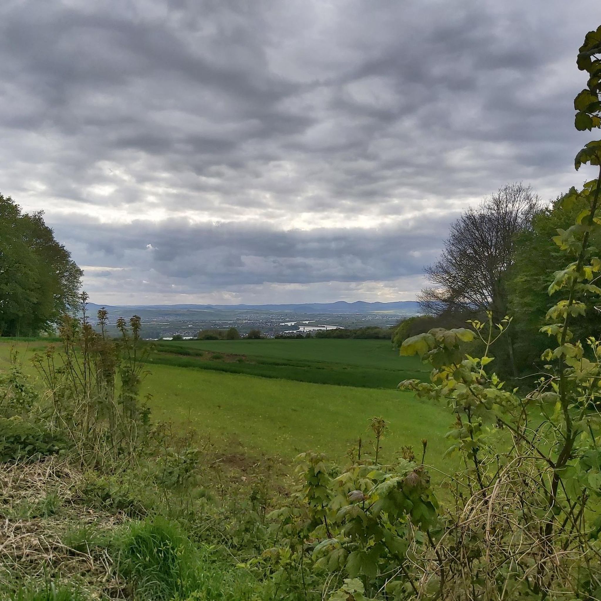
Hiking around Bendorf
Cycling around Bendorf
Running Trails around Bendorf
Road Cycling Routes around Bendorf
MTB Trails around Bendorf
Gravel biking around Bendorf
Other adventures around Bendorf


Tips from the Community

Great for hiking! Here you can dream with beautiful scenery and wonderful nature. Be sure to explore for yourself, it is absolutely recommended!
2
0


Approx. 1891: In order to create space for the memorial, a port of refuge was filled in, which at that time was located at the mouth of the Moselle. The Deutsches Eck in its present form was created.
19
0
Shortly after the death of Kaiser Wilhelm I, the idea arose to erect a memorial to the Kaiser, who had brought about the complete unification of Germany after three wars. Three years later, in 1891, Kaiser Wilhelm II, the grandson of the deceased, chose the Deutsches Eck in Koblenz as a suitable location. In order to create space for the memorial, a port of refuge was filled in, which at that time was located at the mouth of the Moselle. The Deutsches Eck in its present form was created. On August 31, 1897, the copper-engraved monument to Kaiser Wilhelm I was inaugurated in the presence of Kaiser Wilhelm II.
23
0

The Deutsches Eck is the landmark of the city of Koblenz and a major attraction for tourists.
33
0

A relatively small waterfall, but very beautiful and idyllic. The water falls/flows down the mountain almost in cascades.
5
0


In this valley you can forget the time.
2
1
Frequently Asked Questions
What kind of natural features can I explore around Bendorf?
Bendorf offers a diverse range of natural features, from tranquil valleys and dense forests to unique geological formations. You can discover impressive rock outcrops, scenic viewpoints, and the highest points of local elevations. Notable features include the deep gorge of the Brexbach Valley, the picturesque Laubach Waterfall, and the striking Kaiserstuhl rock outcrop.
Are there family-friendly natural monuments in the Bendorf area?
Yes, several natural monuments around Bendorf are suitable for families. The Brexbach Valley is particularly family-friendly, offering natural pathways and a tranquil environment for walks. The Laubach Waterfall is also a great spot for a family break during a hike, providing an idyllic natural setting.
What are the best natural viewpoints around Bendorf?
For stunning panoramic views, consider visiting the View over the Brexbach Valley from Teufelsberg, where you can enjoy picturesque scenery and learn about the local geology. Another excellent spot is the Kaiserstuhl rock outcrop, which provides great views down into the Brexbachtal. The Alarmstange (545 m), as the highest point of the Montabaurer Höhe, also offers expansive views over the surrounding landscape.
What kind of hiking trails can I find near Bendorf's natural monuments?
Bendorf is a fantastic area for hiking, with trails ranging from easy to challenging. The Brexbach Valley is a central hub for natural recreation, featuring numerous trails including sections of the famous Rheinsteig and Saynsteig dream path. You can find more hiking options in the region by exploring the Hiking around Bendorf guide.
Are there any geological highlights to explore in Bendorf?
Yes, Bendorf has a rich geological past. The GeoRoute, which includes the Teufelsberg, the area of a former Pfahlberg volcano, and the rocky Caaner Schweiz, offers a journey through diverse rock formations and landscapes shaped by ancient volcanic activity. The Teufelsberg lookout point specifically provides insights into the geology of the Brexbach valley.
What other outdoor activities are available near the natural monuments?
Beyond hiking, the Bendorf region offers opportunities for cycling and running. You can find various routes for touring bicycles in the Cycling around Bendorf guide, and dedicated running trails in the Running Trails around Bendorf guide. These guides feature routes that often pass by or through many of the natural attractions.
What do visitors enjoy most about the natural monuments around Bendorf?
Visitors frequently praise the tranquil and natural beauty of the area. Many appreciate the well-maintained trails, the idyllic settings like the Laubach Waterfall for a break, and the breathtaking views from spots like the Teufelsberg. The peaceful atmosphere of the Brexbach Valley, which is not crossed by roads, is also a highly valued aspect for hikers.
Are there any hidden natural gems or less-known spots worth visiting?
While the main highlights are well-loved, the entire Brexbach Valley, with its meandering stream and dense forests, offers many secluded spots away from the main paths. The GeoRoute, encompassing the Teufelsberg, Pfahlberg volcano, and Caaner Schweiz, also provides a deeper exploration into the region's unique geological formations that might be less frequented than the most popular viewpoints.
Can I find circular walks among the natural monuments?
Yes, many of the hiking trails in the Bendorf area are designed as circular routes, allowing you to experience the natural monuments without retracing your steps. The Brexbachtal Schluchtweg is a 16km circular path that leads directly through the beautiful Brexbach Valley. You can find more detailed circular routes in the Hiking around Bendorf guide.
What is the difficulty level of trails around Bendorf's natural monuments?
The trails vary in difficulty. Many paths, such as those leading to the Laubach Waterfall or through parts of the Brexbach Valley, are considered intermediate and suitable for most hikers. However, some areas like the climb to the Kaiserstuhl rock outcrop are more challenging, involving steep sections. Always check route details for specific difficulty ratings.
Are there opportunities to observe wildlife near the natural monuments?
The dense forests and tranquil valleys, particularly within the Brexbach Valley and the Saynbachwald forest, provide habitats for local flora and fauna. While specific wildlife sightings are never guaranteed, these natural areas offer a chance to observe various bird species and other forest inhabitants in their natural environment, especially during quieter times of day.
Most popular routes around Bendorf
Most popular attractions around Bendorf

Get inspired with the komoot mobile app


Explore more
Extend your search for the best caves by checking out these guides of the top ones around Bendorf:
