Top 13 Mountain Passes around Aschau im Chiemgau
Mountain passes around Aschau im Chiemgau are situated in the Chiemgau Alps, offering various elevated routes and prominent peaks. This region features diverse mountainous terrain, including rocky massifs and conservation areas. The routes provide views of the Alpine foothills, Lake Chiemsee, and the Inn Valley. The area is characterized by its natural landscapes and varied topography.
Best mountain passes around Aschau im Chiemgau
- The most popular mountain passes is View of the Zahmer Kaiser, a viewpoint that offers a…
Last updated: October 10, 2026
View of the Zahmer Kaiser
Highlight • Viewpoint
More information: de.wikipedia.org/wiki/Walchsee_(See) and de.wikipedia.org/wiki/Kaisergebirge
Translated by Google •
Tip by

View of the Kaiser Mountains
Highlight • Viewpoint
Translated by Google •
Tip by

Sign up now to discover places like this
Get recommendations on the best single tracks, peaks, & plenty of other exciting outdoor places.
View of the Kampenwand
Highlight • Viewpoint
Translated by Google •
Tip by

Tiroler Achen Gorge
Highlight (Segment) • Gorge
Translated by Google •
Tip by

High Trail 811 – Zahmer Kaiser
Highlight • Trail
Translated by Google •
Tip by
Sign up for free to discover even more mountain passes around Aschau im Chiemgau.
Already have an account?
Start today with a free account
Your next adventure awaits.
Popular around Aschau i. Chiemgau

Maximilian Trail in Germany — Lake Constance to Königssee

Hiking without borders – mountainous Tours in Germany and Austria
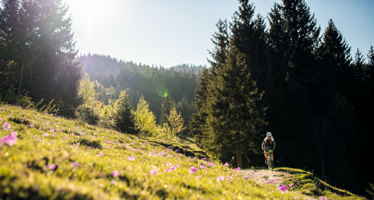
Bavarian Alps by Gravelbike: From Garmisch to Königssee
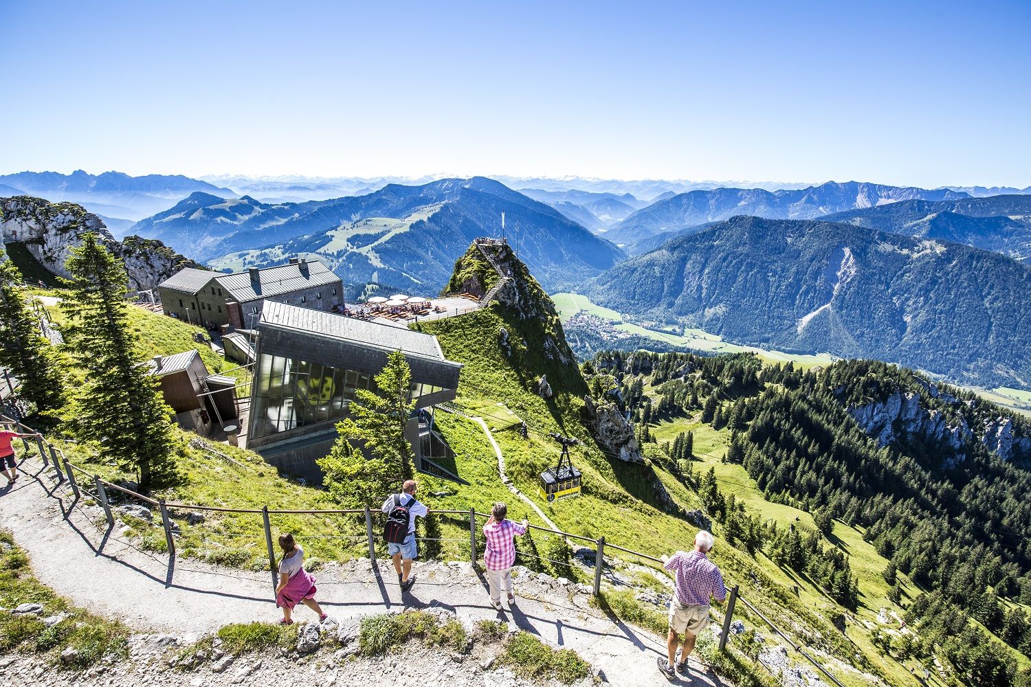
A little help to the top – mountain railways & cable cars in Chiemgau
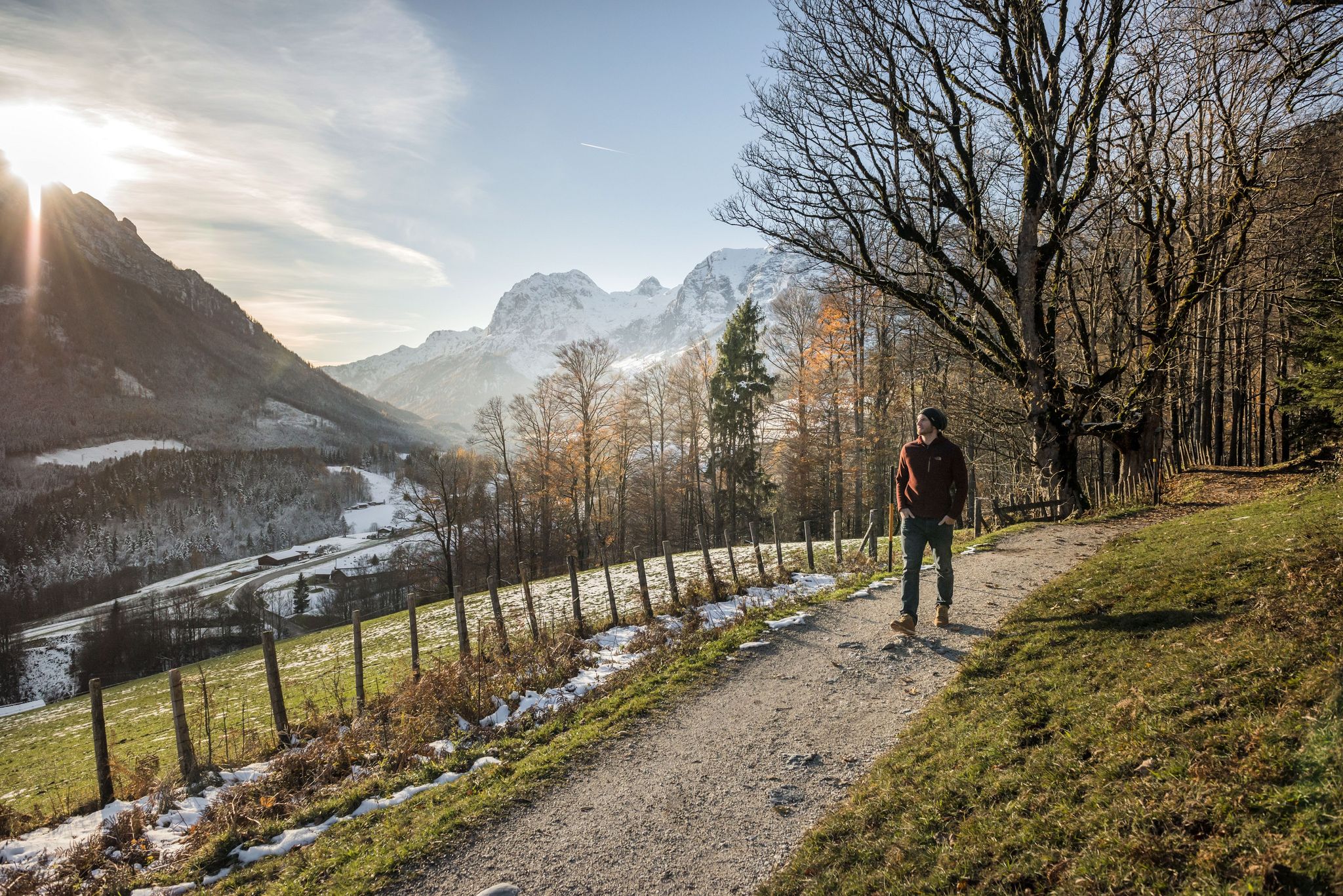
8 delightful winter hikes in Upper Bavaria
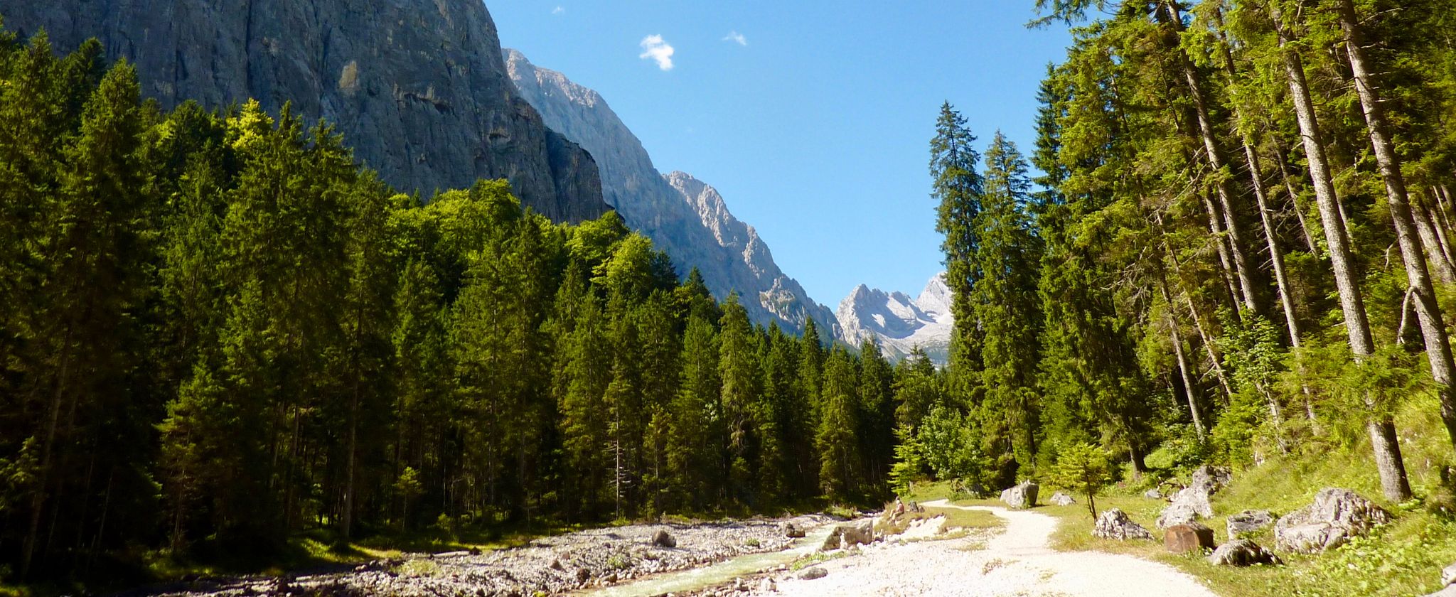
The Max Trail — across the Alps from West to East
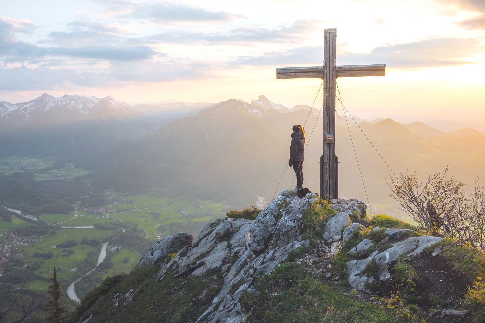
High up in Chiemgau and Berchtesgadener Land
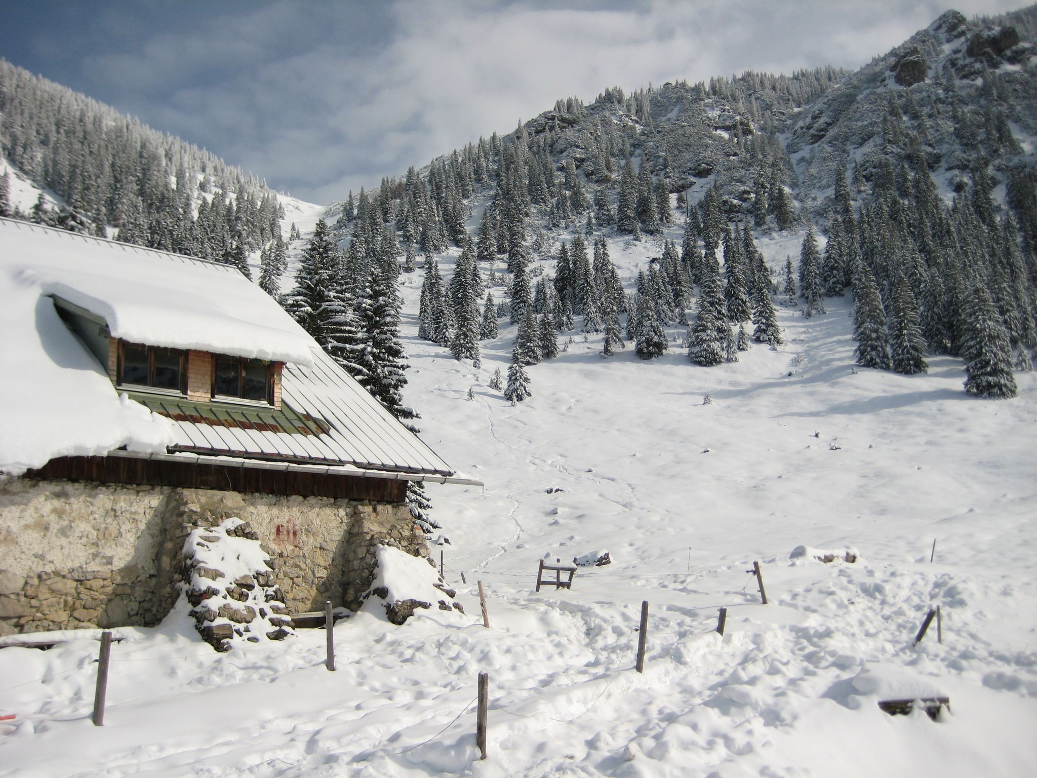
Southern Germany — mountain lodges for the cold season
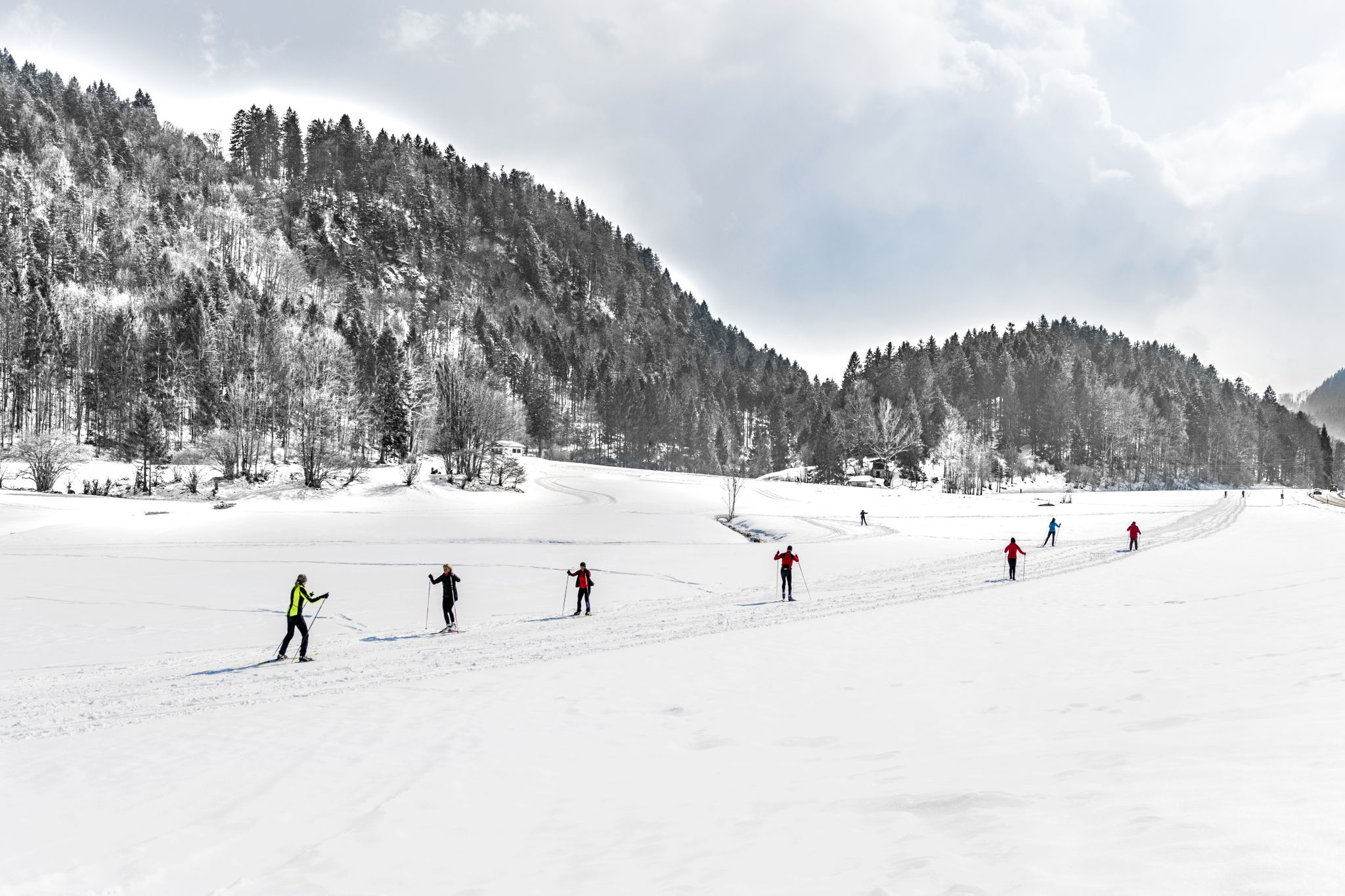
Alpenpanorama und Winterwald: Langlaufen in Oberbayern
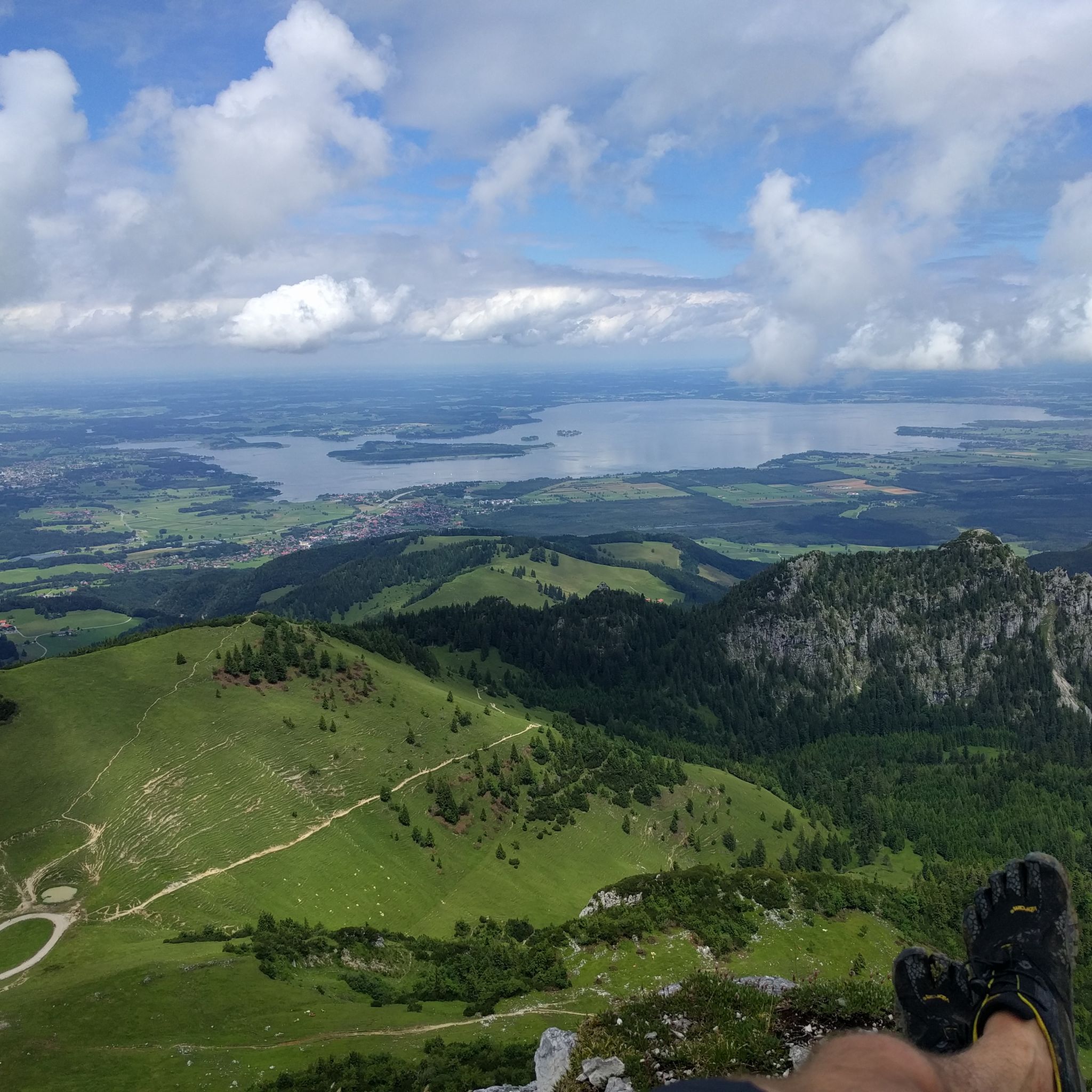
Hiking around Aschau im Chiemgau
Other adventures around Aschau im Chiemgau


Tips from the Community


Make sure your lights are in order. It is striking that the car drivers and truck drivers pass by with plenty of space, they could learn something from that in the Netherlands!! I am now using the Garmin laser rear light, recommended! Try to help oncoming traffic by looking far through the bend and signaling them that they can safely overtake.
2
0

Beautiful view and quiet side street
2
0

Beautiful view even in spring, you can see the snow.
4
0

Those who are here have chosen the flatter route and can therefore fully enjoy the view of the Kaisertal.
2
0

From here you have a great view.
0
0

Fantastic view of Lake Chiemsee, although the climb with the MTB is a challenge, but the effort is definitely worth it when the weather is nice.
4
0

I have never done a nicer tour. You get everything you want. Nature View Almen simply mega
4
0
Frequently Asked Questions
What are some notable mountain passes or elevated routes in the Aschau im Chiemgau region?
The region offers diverse mountainous terrain with several prominent peaks and routes. Key areas include the distinctive Kampenwand massif, the Hochries summit, and the Geigelstein Conservation Area. You can also find scenic routes like the one around Haindorfer Berg.
What kind of views can I expect from the mountain passes around Aschau im Chiemgau?
Many routes offer spectacular panoramic views. From the View of the Kampenwand, you can see from the Berchtesgaden mountains to the Hohe Tauern. Other viewpoints, like the View of the Zahmer Kaiser, offer landscapes with Walchsee and the Zahmer Kaiser mountain range, while the View of the Kaiser Mountains provides vistas of the Kaisertal.
Are there family-friendly mountain passes or routes suitable for all fitness levels?
Yes, the region offers accessible options. The Kampenwand, for example, can be reached via numerous paths or comfortably by cable car, with a flat panorama path at the top. The View of the Zahmer Kaiser and the View of the Kaiser Mountains are also categorized as family-friendly highlights.
What options are available for more challenging mountain pass routes?
For experienced hikers, the Geigelstein Conservation Area offers demanding routes like the Jägersteig Trail, which requires very good fitness and sure-footedness. The View of the Kampenwand also has challenging trails leading to its summit.
What outdoor activities can I do near the mountain passes around Aschau im Chiemgau?
The area is excellent for various outdoor activities. You can find numerous mountain hikes, including difficult routes like the Kampenwand East Summit loop. There are also many hiking trails, such as the Jägersteig Trail in the Geigelstein Conservation Area. For cyclists, there are cycling routes like the Kampenwand – Gori Alm loop.
Are there specific hiking trails associated with these mountain passes?
Absolutely. The Geigelstein Conservation Area features the challenging Jägersteig Trail. For multi-day adventures, you can combine Spitzstein and Geigelstein, with an overnight stay at the Spitzsteinhaus. The Haindorfer Berg offers a circular route with cultural highlights and scenic viewpoints.
When is the best time to visit the mountain passes in Aschau im Chiemgau?
The region is beautiful year-round. Spring is excellent for experiencing the rich floral diversity, especially in the Geigelstein Nature Reserve. Summer and autumn offer ideal conditions for hiking and cycling. In winter, areas like Kampenwand provide natural snow skiing with a 5 km valley run.
Are there any less crowded alternatives to popular spots?
The Kampenwand can get very crowded, especially on weekends. For a quieter experience with similar views, consider starting very early, visiting during 'bad' weather, or exploring neighboring peaks like the Gedererwand, Scheibenwand, or Bauernwand.
What natural features, besides mountain views, can I discover?
Beyond the panoramic mountain views, you can explore the rich floral diversity of the Geigelstein Nature Reserve. The Tiroler Achen Gorge offers a scenic route through a ravine with short tunnels, showcasing unique geological formations.
Can I find multi-day hiking experiences in the region?
Yes, for those seeking longer treks, combining Spitzstein and Geigelstein offers a rewarding multi-day hiking experience. You can plan a two-day route from Aschau to Sachrang, including an overnight stay at the Spitzsteinhaus.
What do visitors enjoy the most about the mountain passes around Aschau im Chiemgau?
Visitors particularly appreciate the spectacular panoramic views, the diverse range of hiking and cycling opportunities for all skill levels, and the natural beauty of the Chiemgau Alps. The accessibility of some peaks via cable car also makes them popular for those seeking comfortable ascents.
Is there a notable pass for cycling enthusiasts?
The Sudelfeld Pass from Oberaudorf is a great climb with various variations, offering good gradients and some relaxed sections. It's a popular route for cyclists, though caution is advised due to motorcycle traffic on weekends.
Most popular routes around Aschau im Chiemgau
Most popular attractions around Aschau im Chiemgau

Get inspired with the komoot mobile app


Explore more
See even more epic mountain passes by checking out these guides around Aschau im Chiemgau:
