Top 7 Mountain Passes around Bad Ditzenbach
Mountain passes around Bad Ditzenbach are characterized by the hilly, karstic landscape of the Swabian Jura. This region features elevated routes and scenic trails along the Albtrauf escarpment, offering panoramic views across the lowlands. The area provides diverse terrain for hiking and cycling, with routes often combining forests, meadows, and geological formations. Visitors can explore a landscape known for its natural beauty and varied elevation profiles.
Best mountain passes around Bad Ditzenbach
- The most popular mountain pass is Hepsisau Climb…
Last updated: July 7, 2026
Hepsisau Climb (Randecker Maar Ascent)
Highlight (Segment) • Mountain Pass
Translated by Google •
Tip by

Kahlenstein Viewpoint
Highlight • Viewpoint
Translated by Google •
Tip by

Sign up now to discover places like this
Get recommendations on the best single tracks, peaks, & plenty of other exciting outdoor places.
Sign up for free
Gairenbuckel Pass
Highlight • Mountain Pass
Translated by Google •
Tip by

Ascent to Fuchsecksattel
Highlight (Segment) • Mountain Pass
Translated by Google •
Tip by

Weiler Steige (Alfred Müller Street)
Highlight (Segment) • Mountain Pass
Translated by Google •
Tip by

Sign up for free to discover even more mountain passes around Bad Ditzenbach.
Sign up for free
Already have an account?
Start today with a free account
Your next adventure awaits.
Login or Signup
Popular around Bad Ditzenbach
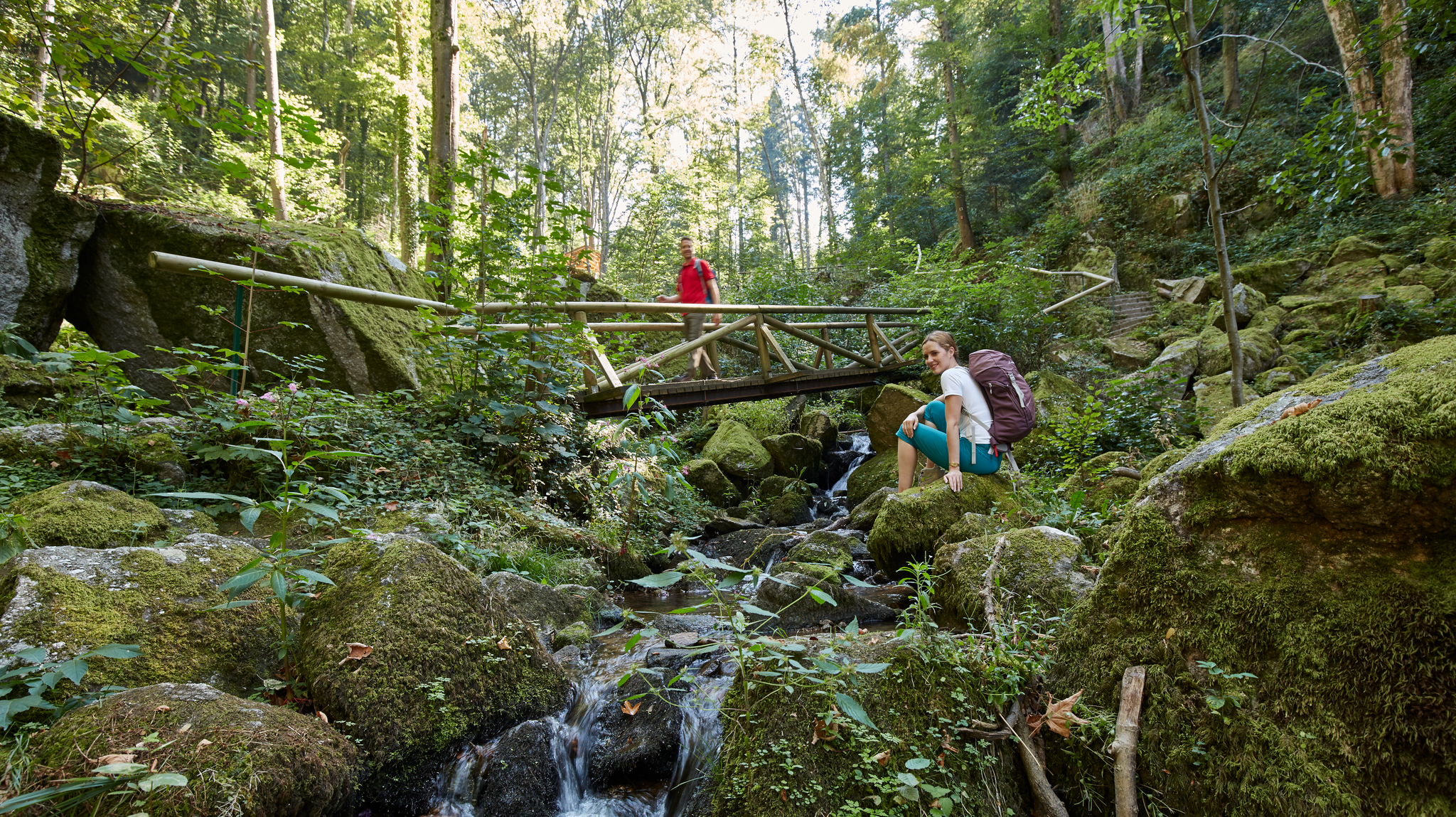
Waterfalls, gorges and cliffs – cooling off in Baden-Württemberg
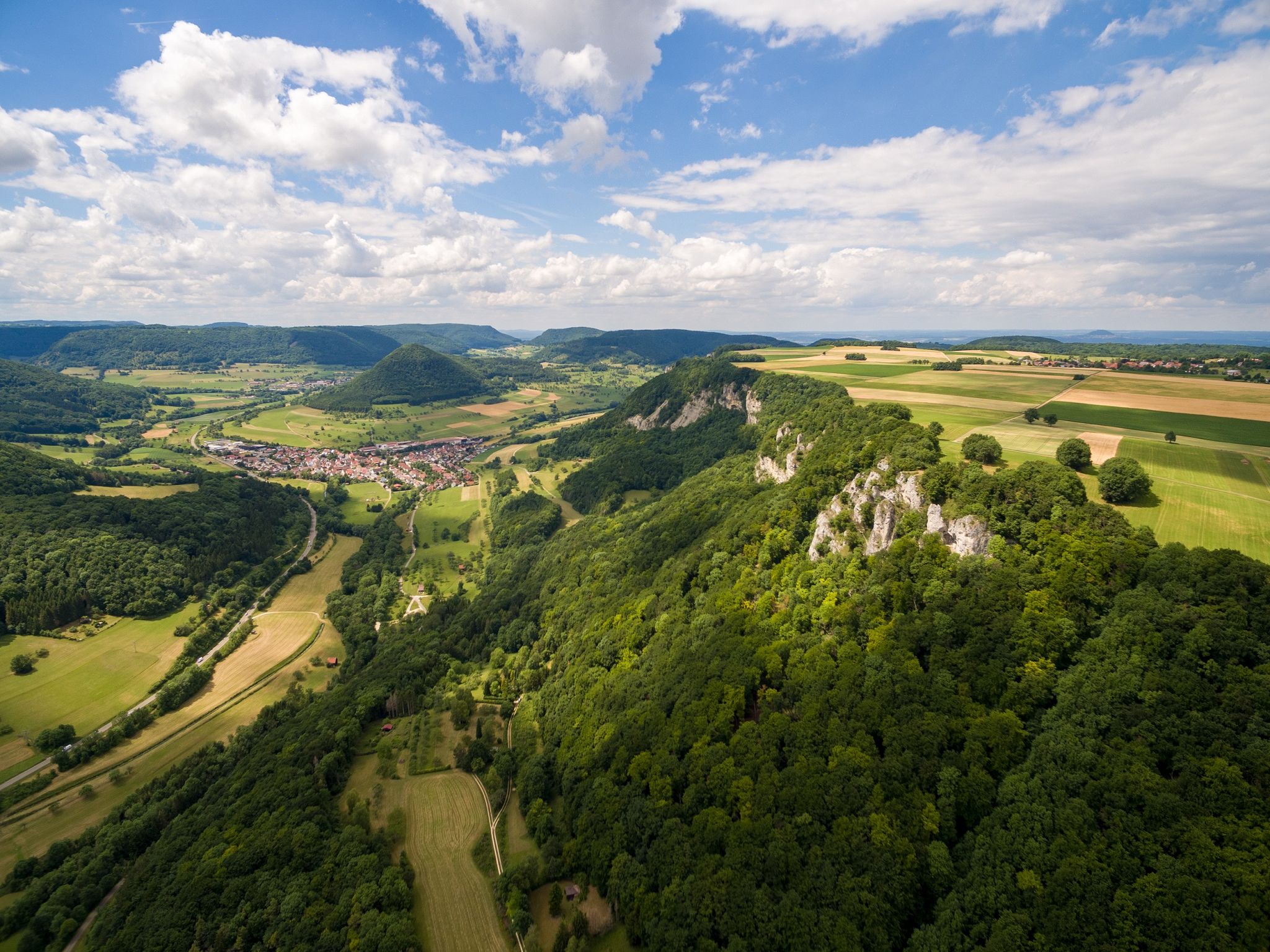
Fantastic ridge views – hiking on the Albtraufgaenger
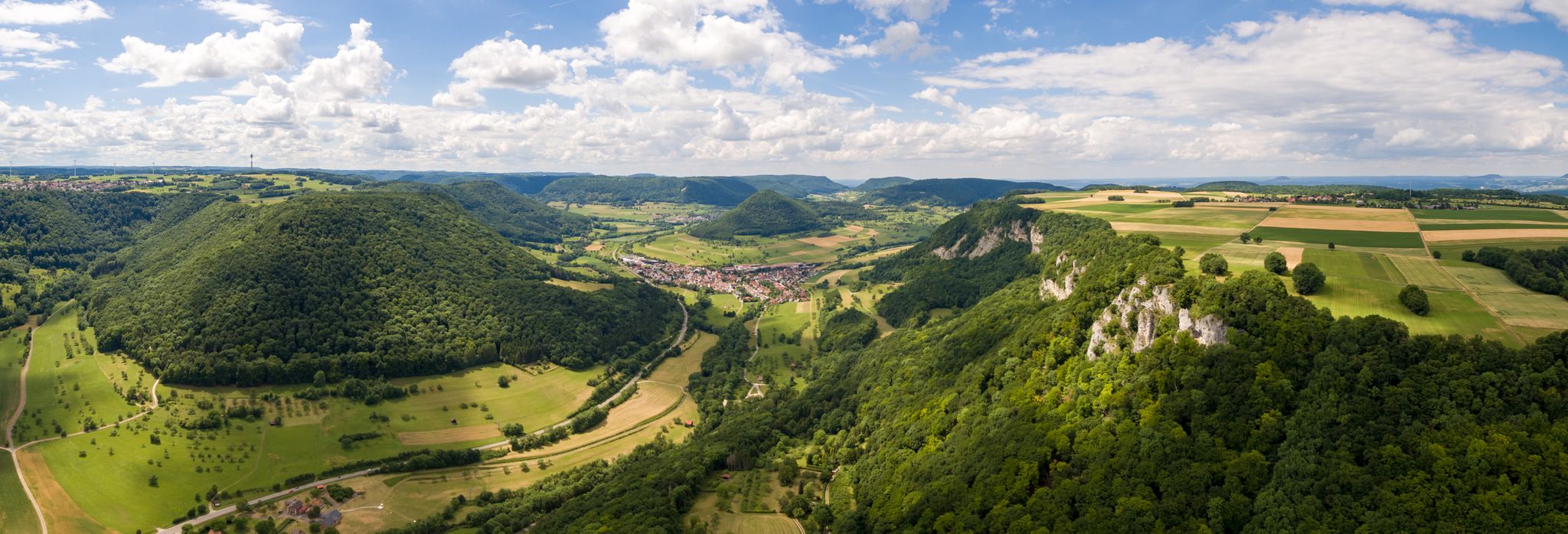
A view over the Swabian Alb – bike Tours around Göppingen
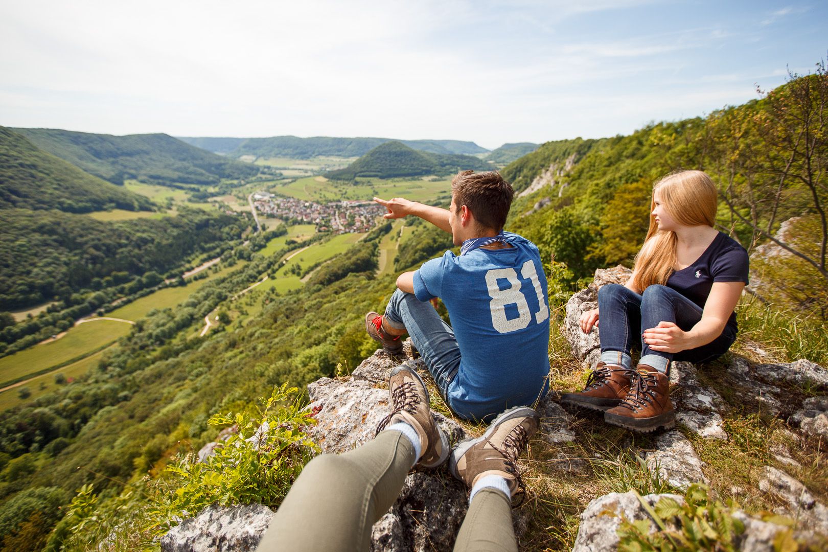
Lion Trails in the Swabian Alb – 16 Tours around Göppingen
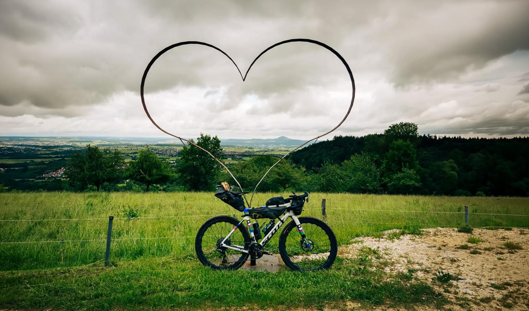
Alb-Crossing – Durch die stille Weite der Schwäbischen Alb
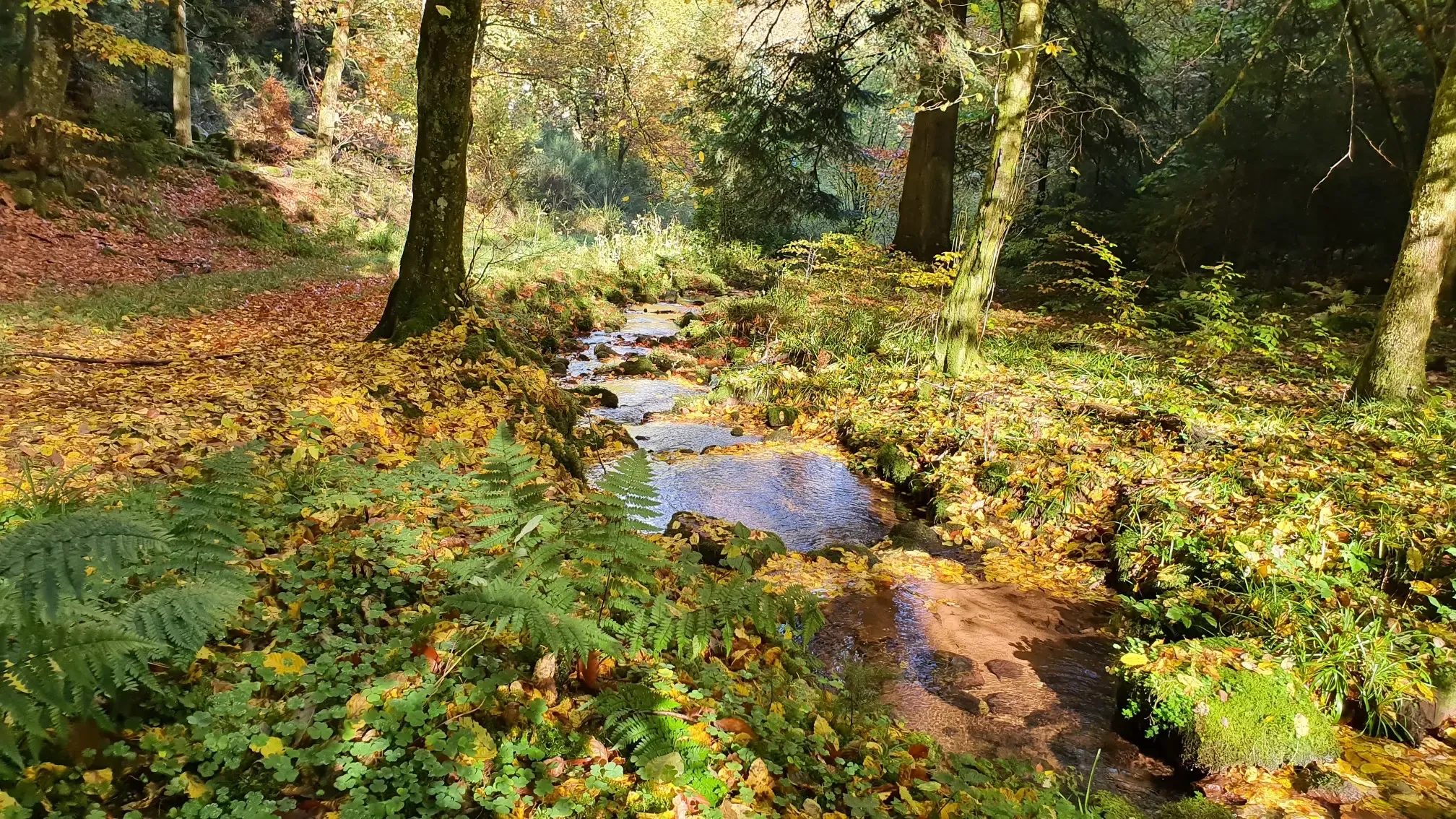
Wandern und warmes Wasser – Rundwege zu den Thermen Baden-Württembergs
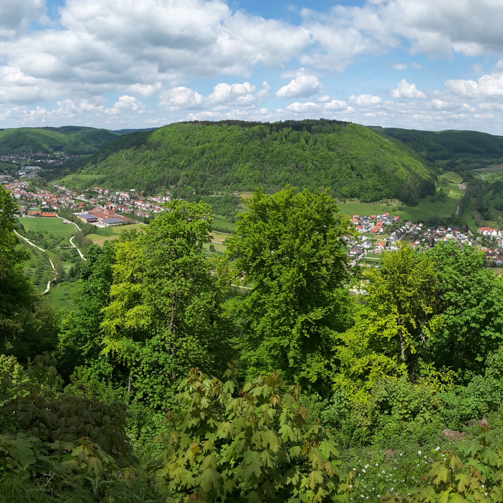
Hiking around Bad Ditzenbach
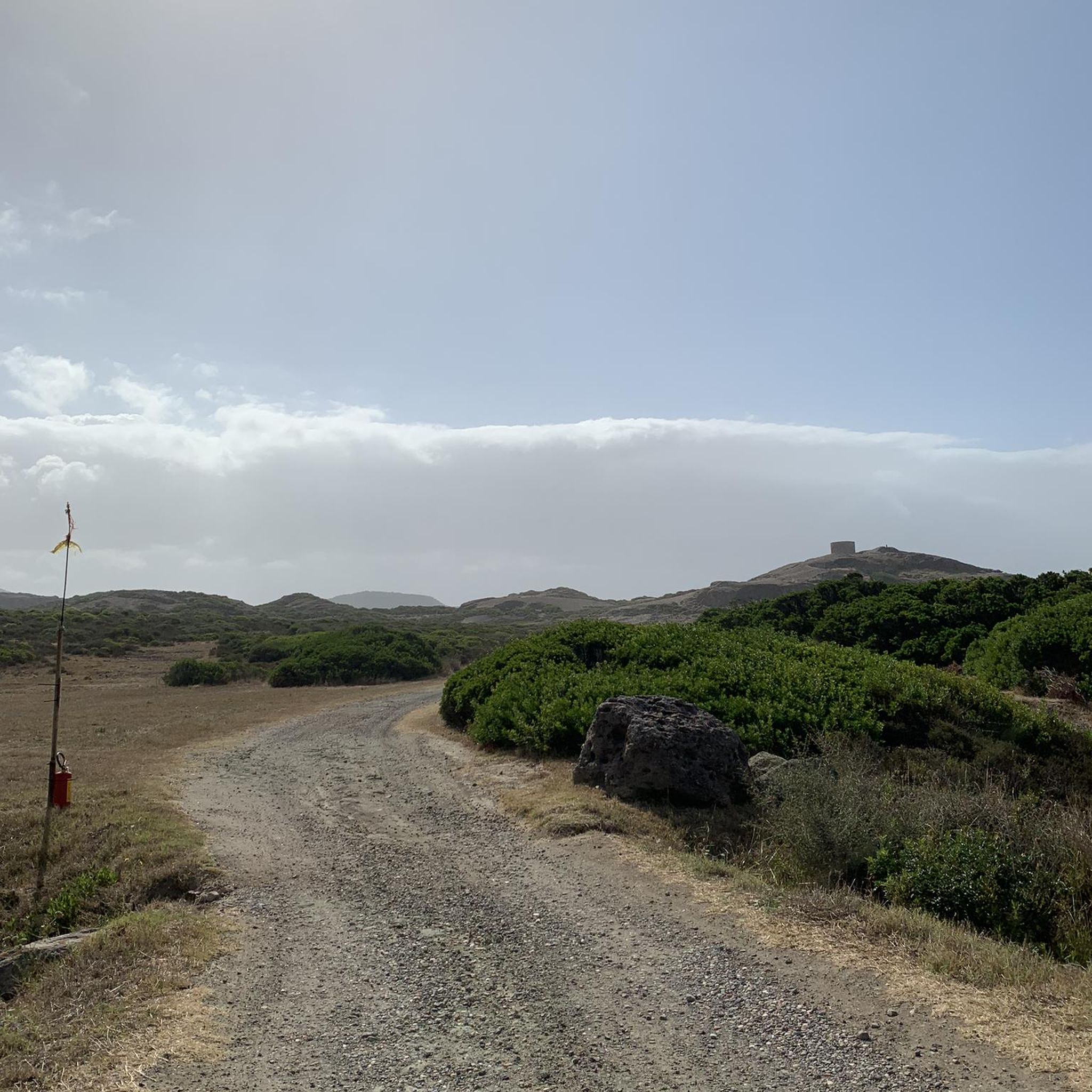
Gravel biking around Bad Ditzenbach
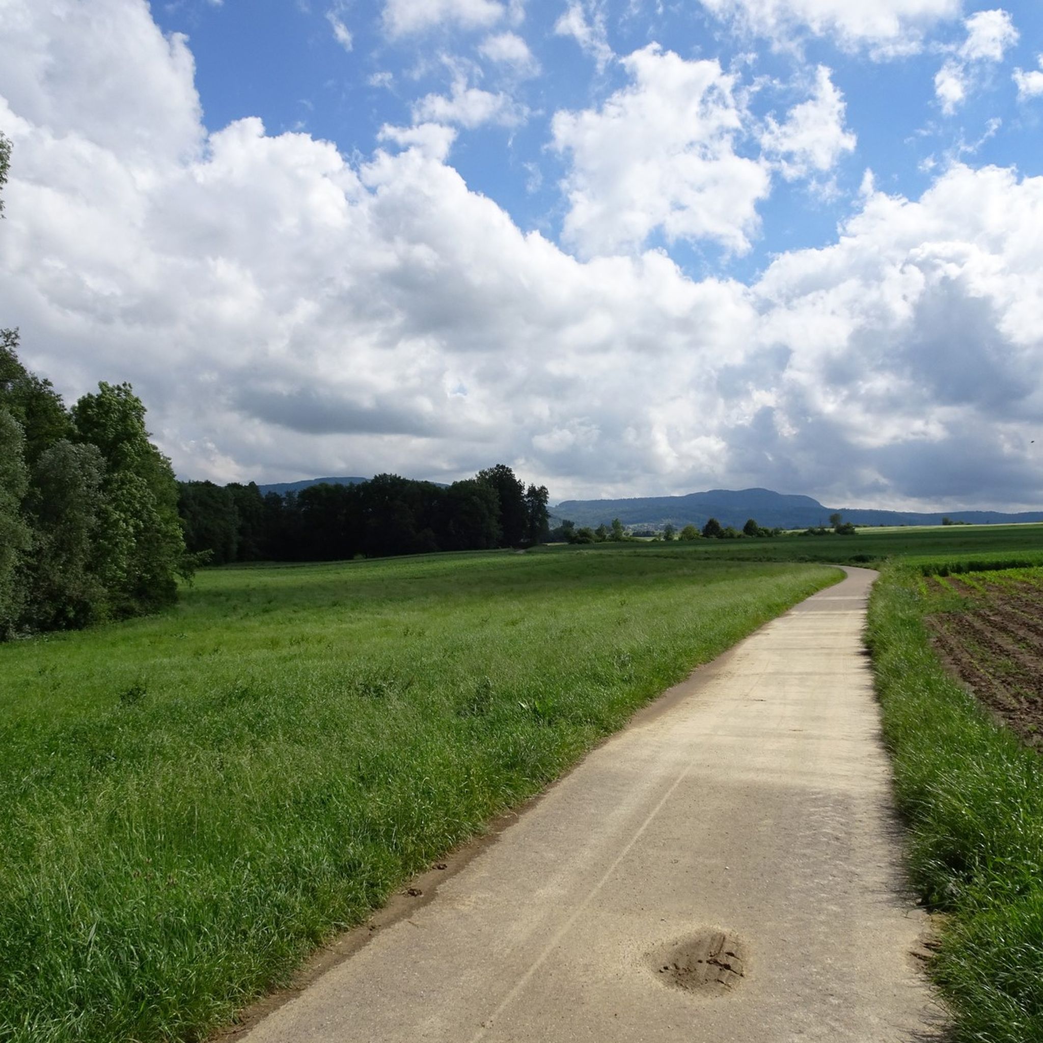
Cycling around Bad Ditzenbach
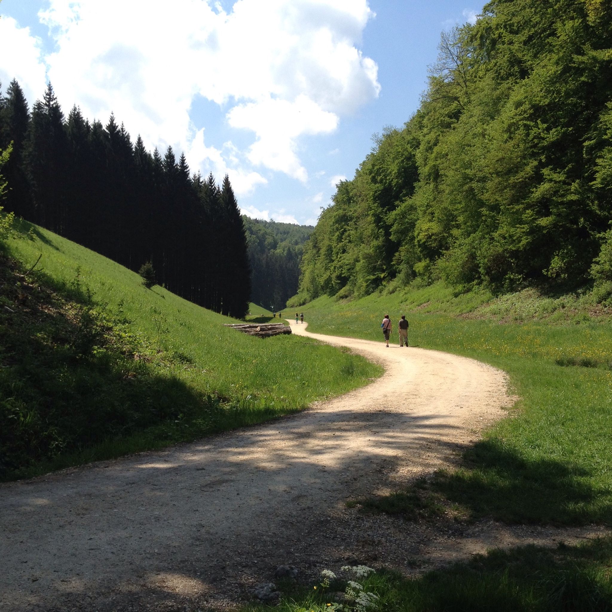
MTB Trails around Bad Ditzenbach
Other adventures around Bad Ditzenbach


Tips from the Community

There is an ice cream machine here and it is worth stopping.
0
0

Wonderful, low-traffic descent to Bad Ditzenbach. With mountains all around, you roll along a stream into the valley on good asphalt - perfect for enjoying. Almost gives you an Allgäu feeling.
0
0
Wonderful, quiet descent towards Bad Ditzenbach. Mountains all around, along a small stream, it almost gives you an Allgäu feeling.
0
0

Great rock with several holes that are an experience for the whole family. Surefootedness is a must, then it's a great place to discover hiding places. Was already a popular place when I was a child.
7
0

The “Gairenbuckel” road crossing is located at 595 m above sea level. Only the last 150 m of the driveway from Reichenbach is very steep.
1
1

Beautiful and easy to ride climbs.
3
0

Coming from Schlat, it is advisable to take the path parallel to the road, as there is quite a lot of traffic here. The path rejoins the road shortly before the crest.
3
1
Frequently Asked Questions
What makes the elevated routes around Bad Ditzenbach unique compared to traditional alpine passes?
The Bad Ditzenbach region, nestled in the Swabian Jura, features a hilly, karstic landscape rather than high alpine passes. The unique aspect lies in its numerous elevated and scenic routes, often referred to as "Höhenrunden" (high-altitude circuits) or trails along the dramatic Albtrauf escarpment. These offer panoramic views, challenging ascents, and natural beauty characteristic of the low mountain range.
What are some of the most scenic elevated routes or viewpoints in the Bad Ditzenbach region?
The region offers several routes with outstanding vistas. The Hepsisau Climb (Randecker Maar Ascent) is known for its great views. The Weiler Steige (Alfred Müller Street) rewards climbers with a view from the ruins of Helfenstein castle. Additionally, the Gairenbuckel Pass offers a fantastic view of Göppingen and the Kaiserberge mountains.
Are there family-friendly options for exploring the elevated routes around Bad Ditzenbach?
While specific 'family-friendly' categories aren't always applied to passes, many routes along the Albtrauf offer varying degrees of difficulty. For a more leisurely experience, the Tälesbahn Cycle Path, partly running on a former railway line, provides gentle inclines and is suitable for various types of bicycles, making it a good option for families.
What outdoor activities can I do near these elevated routes and passes?
Beyond exploring the passes themselves, the Bad Ditzenbach area is excellent for various outdoor activities. You can find numerous hiking trails, including the "Höhenrunde": Hiltenburg and pure Albtrauf, or routes to the Stone Pyramid Auendorf. For cyclists, there are cycling routes like the Tälesbahn Cycle Path, and challenging road cycling routes such as the Ascent to Fuchsecksattel.
What is the best time of year to visit the mountain passes in Bad Ditzenbach?
The Swabian Jura region is beautiful throughout the warmer months. Spring and autumn offer pleasant temperatures for hiking and cycling, with vibrant foliage in autumn. Summer is also suitable, though some routes might be more exposed to the sun. Winter can offer unique snowy landscapes, but some trails might be challenging or require specific gear due to ice or snow.
Are there any historical sites or ruins to explore along the elevated routes?
Yes, the region combines natural beauty with historical significance. The Löwenpfad "Höhenrunde" often includes a detour to the ruins of Hiltenburg Castle. Additionally, the Weiler Steige (Alfred Müller Street) offers views of the Helfenstein castle ruins at the end of the climb. The Geislinger Steige is also recognized as a historical site.
What are some less crowded options for experiencing the elevated routes?
For those seeking a quieter experience, the Hepsisau Climb (Randecker Maar Ascent) is noted for having little traffic. Similarly, the Ascent to Fuchsecksattel offers a nice driving experience through a side valley on the Albtrauf with minimal traffic, providing a more serene journey.
What kind of terrain can I expect on the mountain passes and elevated routes?
The terrain varies, reflecting the Swabian Jura's karstic landscape. You can expect a mix of well-tarred roads suitable for cycling, as seen on the Hepsisau Climb, and trails that wind through forests and open meadows. Many routes feature significant elevation gains, with some climbs, like parts of the Gairenbuckel Pass, reaching gradients of 18%.
Are there specific loop trails recommended for hiking near Bad Ditzenbach?
Yes, the region offers several loop trails. The Anniversary Route (Jubiläumsweg) is a moderately difficult loop, approximately 13.9 km long, connecting the three districts of Bad Ditzenbach. Other notable hiking loops include the "Höhenrunde": Hiltenburg and pure Albtrauf, and the Stone Pyramid Auendorf – View from Nordalbfels loop from Bad Ditzenbach.
What do visitors particularly enjoy about the mountain passes in Bad Ditzenbach?
Visitors frequently praise the stunning panoramic views, especially from points along the Albtrauf escarpment. The well-maintained asphalt on many climbs, like the Hepsisau Climb, makes for an enjoyable cycling experience. The combination of natural beauty, challenging ascents, and historical elements, such as the Helfenstein castle ruins visible from the Weiler Steige, is also highly appreciated.
Are there options for beginner hikers or cyclists among the elevated routes?
While many routes involve significant elevation, there are options for beginners. The Tälesbahn Cycle Path, for instance, offers gentle inclines on a largely paved surface, making it suitable for less experienced cyclists. For hikers, routes like the Anniversary Route are moderately difficult, providing a good balance for those looking for a rewarding experience without extreme challenges.
Most popular routes around Bad Ditzenbach
Most popular attractions around Bad Ditzenbach

Get inspired with the komoot mobile app


Explore more
See even more epic mountain passes by checking out these guides around Bad Ditzenbach:
