Top 9 Mountain Passes around Birkweiler
Best mountain passes around Birkweiler are characterized by elevated viewpoints and routes through the Palatinate Forest. This wine-growing village, situated at the foot of the Hohenberg, offers access to areas with panoramic vistas over the Rhine plain and surrounding vineyards. The region features a landscape shaped by viticulture and historical sites. These locations provide opportunities for hiking and exploring the natural environment.
Best mountain passes around Birkweiler
- The most popular mountain passes is Drei Buchen Pass (403 m), a…
Last updated: July 7, 2026
Drei Buchen Pass (403 m)
Highlight • Mountain Pass
Translated by Google •
Tip by

Three-Country Marker (Boundary Stone)
Highlight • Monument
Translated by Google •
Tip by

Sign up now to discover places like this
Get recommendations on the best single tracks, peaks, & plenty of other exciting outdoor places.
Sign up for free
Lolosruhe Pass
Highlight • Mountain Pass
Translated by Google •
Tip by

Taubensuhl Forest House
Highlight • Mountain Hut
Translated by Google •
Tip by

Kohlplatz Pass and Ritterstein No. 69
Highlight • Mountain Pass
Translated by Google •
Tip by

Sign up for free to discover even more mountain passes around Birkweiler.
Sign up for free
Already have an account?
Start today with a free account
Your next adventure awaits.
Login or Signup
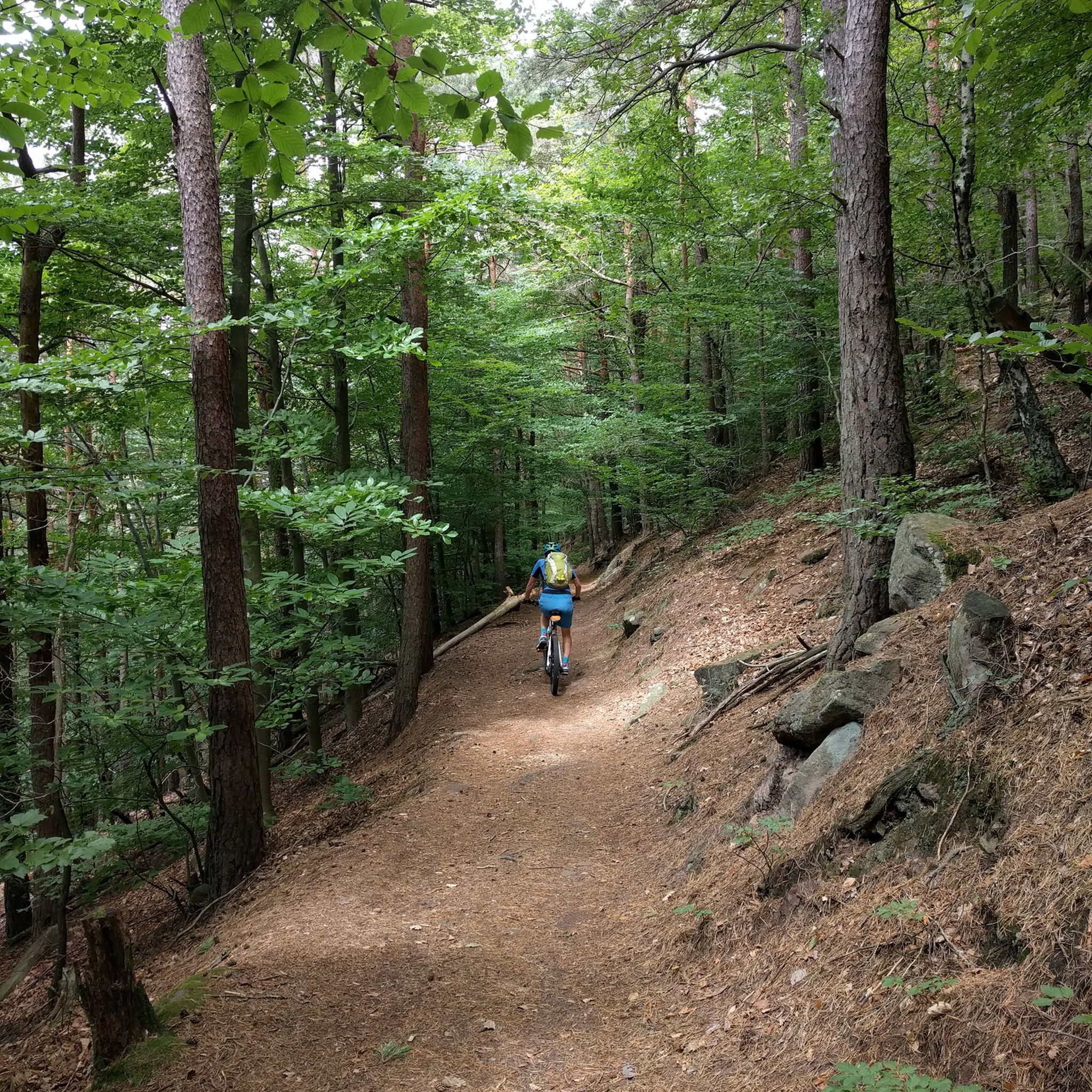
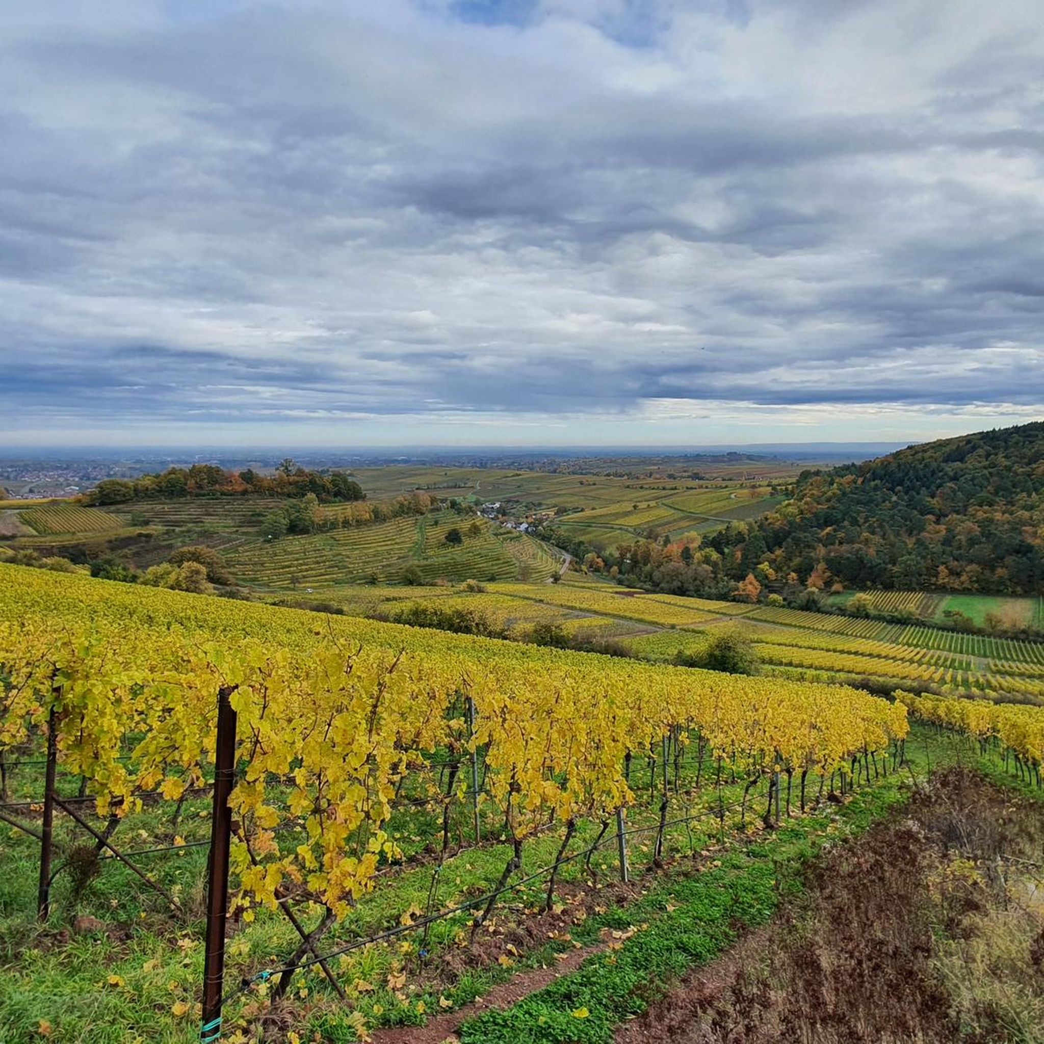
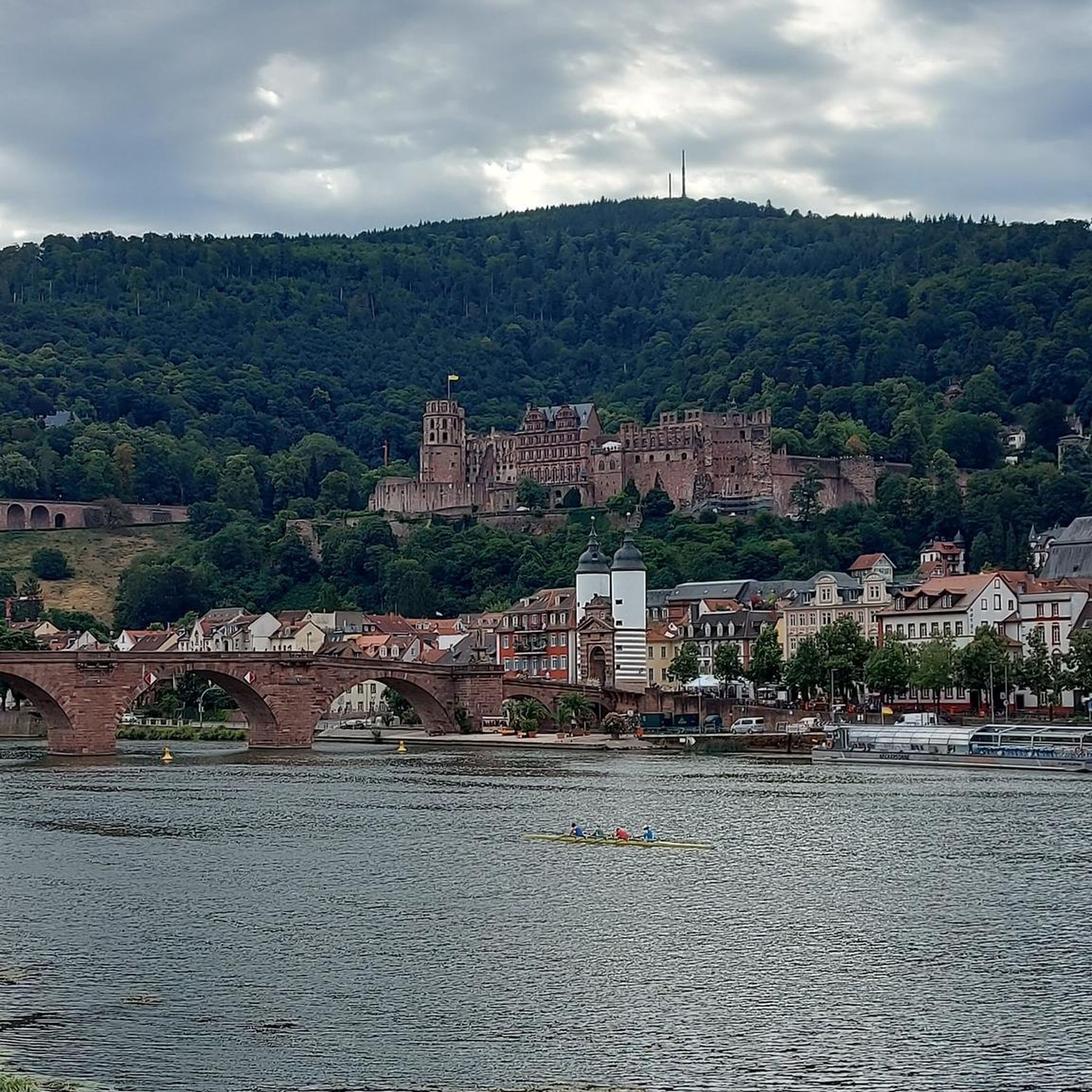

Other adventures around Birkweiler

Tips from the Community

You can find a list of knight stones here: https://de.m.wikipedia.org/wiki/Liste_der_Rittersteine
2
1

This is one of the over 300 knight stones of the Palatinate Forest Association (PWV). It stands at a pass (404 m high) on the L 506 country road from Ramberg to the Modenbach Valley and serves as a marker (to the PWV forest lodge "Drei Buchen"). Nearby is a lovely seating area, next to which stand the three beeches that gave the parking lot its name. For knight stone fans: This is one of the few knight stones that bears an inscription on BOTH sides. "At the Ritterstein [...] there is an old boundary stone. The boundary stone marks the border between the second and third Haingeraide. According to Eitelmann, it is a three-marker: H 68 (for Hainfeld) with the year 1823 below, BW 56 (for Burrweiler) with the year 1780, and R 107 (for Ramberg) (Eitelmann, p. 177)." Source (quoted verbatim): https://www.kuladig.de/Objektansicht/KLD-343629
3
0

The Drei Buchen pass lies between Ramberg and Burrweiler/Weyher (between Edenkoben and Annweiler) and connects the Dernbachtal with the Modenbachtal. The pass can also serve as a connection between the two passes Lolosruhe and Taubensuhl. The ascent from Ramberg was part of the 2006 Rhineland-Palatinate Tour. There was a mountain classification on the pass. There is also a larger parking lot around the pass, which is often used by hikers. From the top of the pass in a northerly direction (approx. 400 m) is the Ramberger Waldhaus, a mixture of restaurant and Palatinate Forest hut. A stop is recommended, but unfortunately the forest house can only be reached via an unpaved forest path, which can be problematic with a racing bike depending on the weather. Source: quaeldich.de
3
0
403 meters above sea level. Oh well. However, the 11% incline or decline is a number with relevance.
3
1
When you're here, you've made the ascent and can happily destroy the altitude you've worked up. C'est tout. You don't necessarily have to stop here.
4
0

There is also a large rest area with a few benches and tables in the shade.
3
1

Am Ritterstein No. 234: [To] Ramberger Waldhaus Drei Buchen 300 m is a good place to park and start various hiking tours. After the tour you can then strengthen yourself properly in the Ramberger Waldhaus Drei Buchen.
2
1
You have to find the shelter first. It's a bit hidden and then without a seat. But the parking lot is spacious and suitable for several vehicles
4
0
Frequently Asked Questions
What kind of 'mountain passes' can I expect around Birkweiler?
Birkweiler, a wine-growing village, doesn't feature traditional high-altitude mountain passes. Instead, the area offers numerous elevated viewpoints and 'mountain hikes' that provide stunning panoramic views over the Palatinate Forest, the Rhine plain, and the surrounding vineyards. These spots are popular for hiking and nature exploration.
Which are the most popular elevated spots or 'mountain passes' in the Birkweiler area?
Among the most appreciated spots are Drei Buchen Pass (403 m), known as a starting point for various hikes and featuring a larger parking lot. Another popular location is Lolosruhe Pass, particularly favored by road cyclists for its idyllic climbs and descents. The Taubensuhl Forest House, situated on a plateau, is also a well-loved destination with a forest nature trail.
Are there historical sites or cultural landmarks to discover near these elevated points?
Yes, the region is rich in history. For instance, near Drei Buchen Pass (403 m), you can find a Ritterstein (knight stone) and an old boundary stone marking historical borders. The Kohlplatz Pass and Ritterstein No. 69 marks a significant historical site related to a retreat battle from the late 18th century. The Dreimärker Stone is another historical landmark, serving as a large crossroads with interesting wood carvings.
What kind of views can I expect from the elevated points around Birkweiler?
From various elevated points, you can enjoy breathtaking panoramic vistas. For example, the Hohenberg Tower offers expansive views over the UNESCO Biosphere Reserve Palatinate Forest, the town of Annweiler, the Queich valley, and the Trifels imperial castle. The Schuhmacherfelsen provides stunning views of the trio of castles: Trifels, Anebos, and Münz, as well as the Wasgau region. Even from the Kastanienbusch Vineyard, you can see eastward over the local vineyards and out into the Rhine plain.
Are there family-friendly hiking options around Birkweiler's elevated areas?
Yes, several spots and trails are suitable for families. The Drei Buchen Pass (403 m) and the Taubensuhl Forest House are both categorized as family-friendly. The Dreimärker Stone also offers a pleasant spot for families with benches and a small hut. The area provides a range of trails from easy walks through vineyards to more moderate mountain hikes.
What outdoor activities can I do near these elevated points?
The region around Birkweiler is excellent for various outdoor activities. Besides hiking to viewpoints like the Hohenberg Tower and Schuhmacherfelsen, you can enjoy cycling, gravel biking, and mountain biking. For cycling, explore routes like the 'View of Landeck Castle' loop. Gravel biking offers options such as the 'Taubensuhl Forest House' loop. Mountain bikers can tackle trails like the 'Wood Stop at Zollstock – Rehberg Tower' loop. You can find more details on these activities in the respective guides: Cycling around Birkweiler, Gravel biking around Birkweiler, and MTB Trails around Birkweiler.
What is the best time of year to visit the Birkweiler region for hiking?
The Birkweiler region benefits from a mild climate, making it enjoyable for hiking across many seasons. Spring is particularly beautiful with blooming almond blossoms, while autumn offers vibrant fall foliage in the Palatinate Forest. The mild climate also supports grapevines and chestnut trees, making late spring through early autumn ideal for exploring the vineyards and elevated viewpoints.
Are there facilities like parking or public transport access near these elevated points?
Yes, several locations offer convenient access. For example, Drei Buchen Pass (403 m) has a larger parking lot often used by hikers. The Hohenberg Tower is accessible via a circular trail starting from the Birkweiler hiking car park. While specific public transport details for each point vary, the village of Birkweiler itself serves as a good base for accessing the surrounding trails.
Can I find food and drink options near the elevated points or trails?
Yes, there are options for refreshments. Near Drei Buchen Pass (403 m), the Ramberger Waldhaus is a short distance away, offering a mix of restaurant and Palatinate Forest hut. The Taubensuhl Forest House also has a restaurant, though it's advisable to check current opening hours. The village of Birkweiler itself offers cafes, restaurants, and pubs.
What makes the Kastanienbusch Vineyard area special for visitors?
The Kastanienbusch Vineyard, located above Birkweiler, is renowned for its unique soil structures and microclimate, which foster diverse vegetation and exceptional wines. Beyond its viticultural significance, it offers eastward views over the local vineyards and the Rhine plain. A geological-ecological educational trail, approximately 4 km long, winds through the Kastanienbusch, providing insights into the local ecosystem and its interplay.
Are dogs allowed on the trails around Birkweiler's elevated areas?
Generally, the hiking trails in the Palatinate Forest are dog-friendly, allowing you to explore the natural beauty with your canine companion. However, it's always recommended to keep dogs on a leash, especially in nature reserves, near wildlife, or in areas with other hikers and cyclists, to ensure a pleasant experience for everyone.
What is the difficulty level of the hikes to these elevated viewpoints?
The region offers a range of difficulty levels. Many trails are considered moderate, such as the out-and-back route to Schuhmacherfelsen, which covers 4.836 kilometers with an elevation gain of 304 meters. There are also easier walks through vineyards and more strenuous mountain hikes, allowing visitors to choose routes that match their fitness levels.
Most popular routes around Birkweiler
Most popular attractions around Birkweiler

Get inspired with the komoot mobile app


Explore more
See even more epic mountain passes by checking out these guides around Birkweiler:
