Top 6 Mountain Passes around Maulbronn
Best mountain passes around Maulbronn are found within a region characterized by rolling hills, forests, vineyards, and the Stromberg-Heuchelberg Nature Preserve. This area offers numerous elevated routes and scenic climbs rather than traditional high-altitude mountain passes. The terrain provides diverse opportunities for outdoor activities, including hiking and cycling. Visitors can explore a network of trails that traverse elevated areas, offering rewarding views and engaging climbs through varied landscapes.
Best mountain passes around Maulbronn
- The most popular mountain passes is Hohenhaslach–Güglingen…
Last updated: October 10, 2026
Bannhalde Hill Pass
Highlight • Mountain Pass
Translated by Google •
Tip by

Hohenhaslach–Güglingen Climb
Highlight (Segment) • Climb
Translated by Google •
Tip by

Sign up now to discover places like this
Get recommendations on the best single tracks, peaks, & plenty of other exciting outdoor places.
Lerchenbühlhof Hill Pass
Highlight • Mountain Pass
Take a selfie of yourself, your fellow cyclists, and the pass sign. Then upload it to the …
Translated by Google •
Tip by

Dürrmenzer Steige Hill Pass
Highlight • Mountain Pass
Showing Translation
Tip by

Rosswager Steige Hill Pass
Highlight • Mountain Pass
Take a selfie of yourself, your fellow cyclists, and the pass sign. Then upload it …
Translated by Google •
Tip by
Sign up for free to discover even more mountain passes around Maulbronn.
Already have an account?
Start today with a free account
Your next adventure awaits.
Popular around Maulbronn
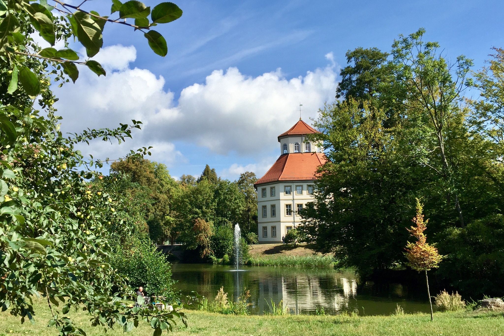
The Stromberg Murrtal Bike Path – 7 stages of nature and culture
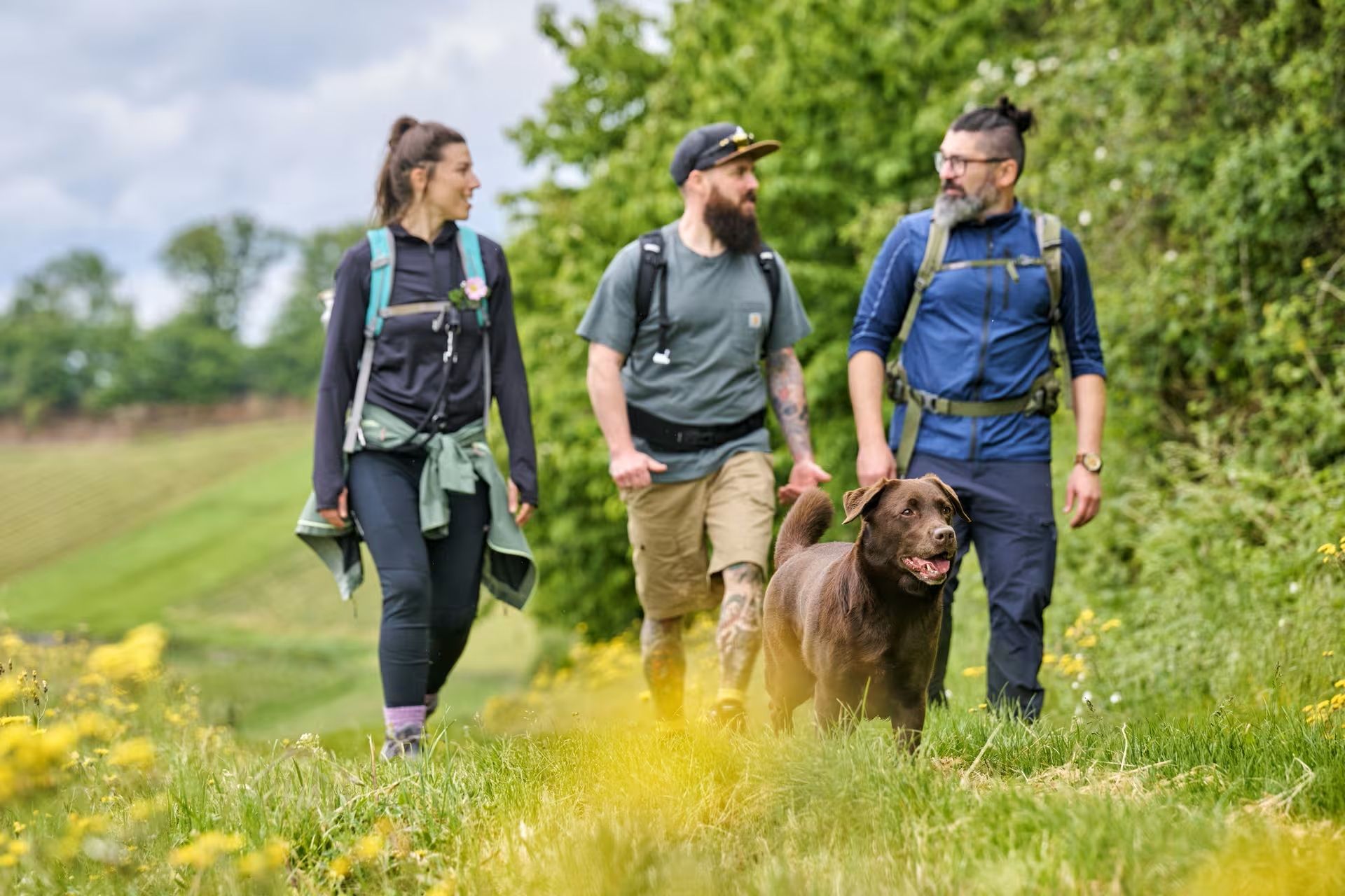
The Land of 1,000 Hills by bus and train – car-free hiking adventures
Trail running between woodlands & wine in the Land of 1000 Hills

Oases of calm – hill sofas in the land of 1,000 hills
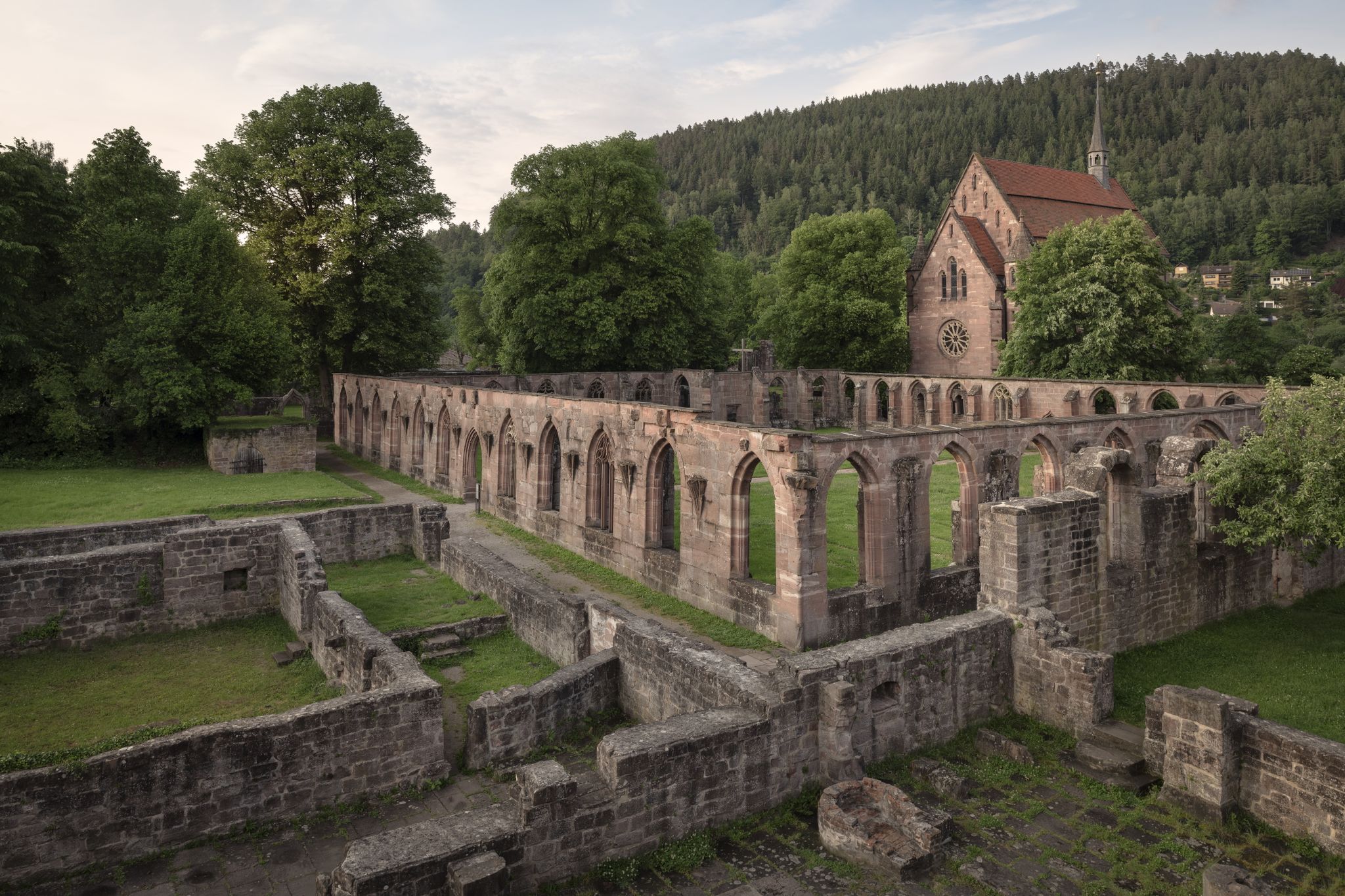
Cycling the Monastery Route in the Northern Black Forest
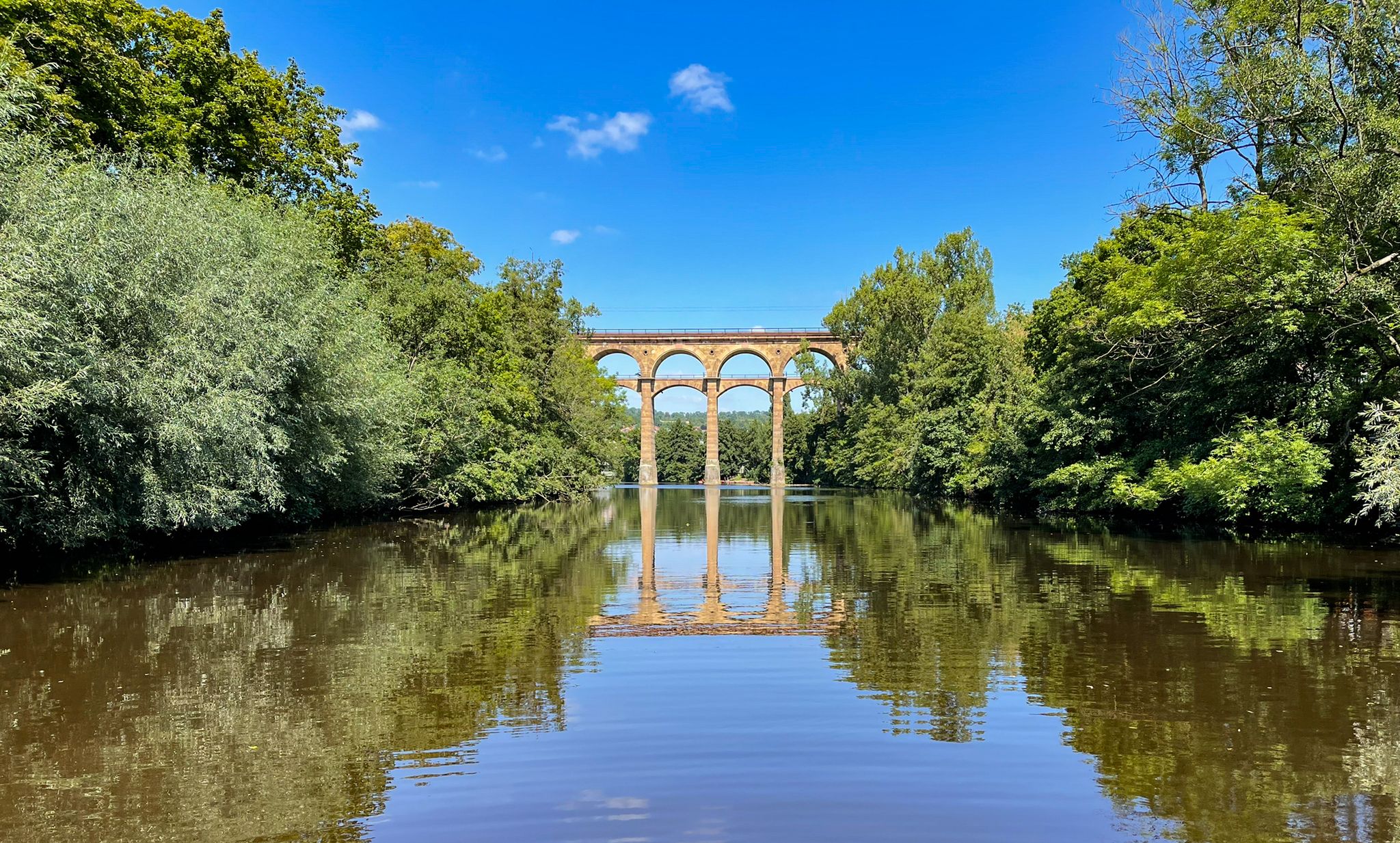
The Stromberg Murrtal Bike Path – 7 stages of nature and culture
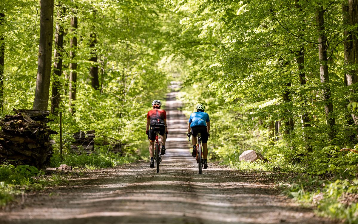
Gravel biking through the land of 1,000 hills – Kraichgau-Stromberg in Germany
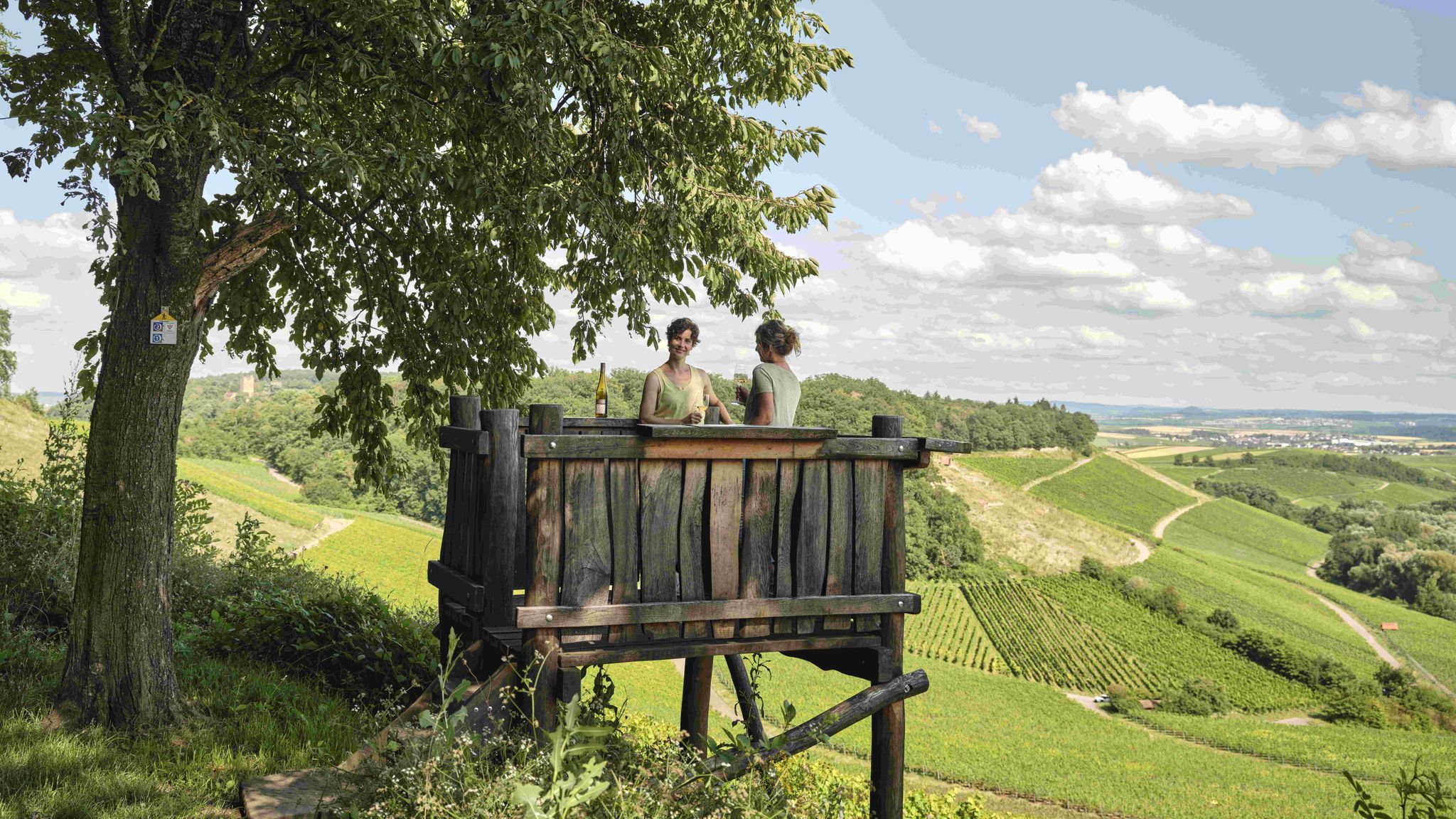
Genusswandern: Auf Wein(wander)wegen durch das Land der 1000 Hügel

Wander3Klänge: Einfach Los Wandern im Naturpark Stromberg-Heuchelberg
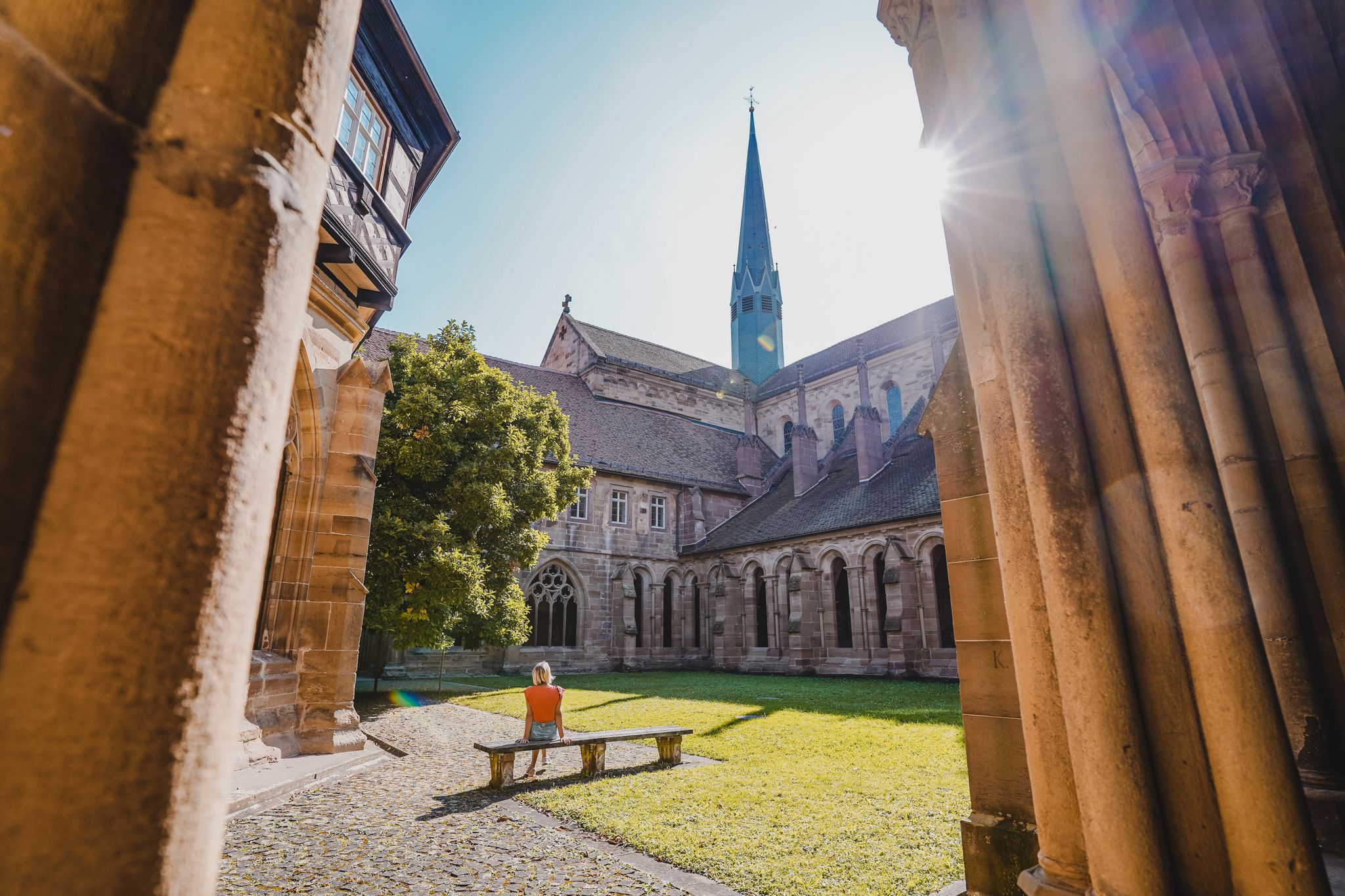
Weg der Zisterzienser - Unterwegs auf den Spuren der Mönche
Other adventures around Maulbronn


Tips from the Community

The Bannhalde is a 417 m high, wooded summit of the Stromberg, a ridge in the Stromberg-Heuchelberg Nature Park, which extends between Bretten in the west and the Neckar in the east. It rises above Sternenfels and houses the Stromberg operational site of the Lake Constance Water Supply Association and a mobile phone transmission mast. Only a few meters away, the K 4514 crosses its highest point. Quelle: https://www.quaeldich.de/paesse/bannhalde/
0
0

Beautiful place with a shelter and a view
1
0

...a paradise for cycling!
1
0


At an altitude of 314 meters, a magnificent, fertile landscape with expansive views awaits you. Take a selfie of yourself, your fellow cyclists, and the pass sign. Then upload it to the Wall of Fame via the QR code on the pass sign or via the website http://www.kraichgau-stromberg.de/bewegen/radfahren/1000-huegel-paesse. Alternatively, you can also tag it with the hashtag #1000hügelpässe on Instagram and Facebook. We look forward to a colorful collection of your hill pass moments! You can also find all the hill passes in the "1000-Hill-Passes-komoot Collection".
0
0
Not far from the 404-meter-high Heukopf, you'll reach the wooded Lerchenbühlhof hill pass. Take a selfie of yourself, your fellow cyclists, and the pass sign. Then upload it to the Wall of Fame via the QR code on the pass sign or via the website http://www.kraichgau-stromberg.de/bewegen/radfahren/1000-huegel-paesse. Alternatively, you can also tag yourselves with the hashtag #1000hügelpässe on Instagram and Facebook. We look forward to a colorful collection of your hill pass moments! You can also find all the hill passes in the "1000-Hill-Passes-komoot Collection".
2
0
At the edge of the forest, you'll reach the Dürrmenz Steige. From here, you have a magnificent view of the beautiful landscape. Take a selfie of yourself, your fellow cyclists, and the pass sign. Then upload it to the Wall of Fame using the QR code on the pass sign or via the website http://www.kraichgau-stromberg.de/bewegen/radfahren/1000-huegel-paesse. Alternatively, you can also tag it with the hashtag #1000hügelpässe on Instagram and Facebook. We look forward to a colorful collection of your hill pass moments! You can also find all the hill passes in the "1000-Hügel-Pässe-komoot Collection".
0
0

Pedaling up 400m often also results in 1000m
0
0
Frequently Asked Questions
What kind of landscape can I expect around the mountain passes near Maulbronn?
The region around Maulbronn, part of the Stromberg-Heuchelberg Nature Preserve, is characterized by rolling hills, dense forests, picturesque vineyards, and orchards. Instead of traditional high-altitude mountain passes, you'll find elevated routes and scenic climbs that offer diverse terrain and rewarding views over the varied landscape.
What outdoor activities can I do near the mountain passes around Maulbronn?
The diverse terrain around Maulbronn is ideal for various outdoor activities. You can enjoy hiking, cycling, and mountain biking on a network of trails. For more detailed routes, explore the hiking guide for Maulbronn, the cycling guide, or the road cycling routes.
Are there good viewpoints along these passes?
Yes, many of the elevated routes and hill passes offer magnificent views. For instance, the Dürrmenzer Steige Hill Pass, located at the edge of the forest, provides extensive views of the surrounding landscape. Similarly, the Bannhalde Hill Pass, one of the highest points in the 'Land of 1000 Hills,' offers great perspectives.
What makes the Bannhalde Hill Pass special?
The Bannhalde Hill Pass is notable for being one of the highest passes in the 'Land of 1000 Hills' at 419 meters. It's located in the beautiful Sternenfels area and even features a drinking fountain nearby where you can refill your water bottles after the climb. There's also a pass sign for taking selfies.
What can I expect from the Hohenhaslach–Güglingen Climb?
The Hohenhaslach–Güglingen Climb is known for its good road surface, making it pleasant for cycling. It features some steeper passages but offers welcome shade from extensive forest cover, especially enjoyable during warmer months.
What is the best time of year to visit the mountain passes around Maulbronn?
The best time to visit is generally from spring through autumn (April to October) when the weather is mild and the landscape is vibrant. Spring brings blooming orchards and vineyards, while autumn offers stunning fall foliage. Summer provides pleasant shade in forested areas, as noted for the Hohenhaslach–Güglingen Climb.
Are the trails suitable for families?
While specific 'mountain passes' might involve climbs, the broader region offers many family-friendly options. The rolling hills and varied terrain provide routes of different difficulty levels. For easy, shorter hikes, you can explore routes like the 'View of Maulbronn Monastery – Roßweiher Nature Reserve loop from Maulbronn' found in the hiking guide.
Can I bring my dog on the trails around Maulbronn's hill passes?
Yes, many trails in the Stromberg-Heuchelberg Nature Preserve are dog-friendly. It's always a good idea to keep your dog on a leash, especially in nature protection areas or near wildlife, and to carry water for them. Check local signage for any specific restrictions.
Are there any historical aspects to these routes?
Yes, the region blends nature with cultural heritage. For example, the Eppinger-Linien-Weg, a historical trail popular for hiking and mountain biking, includes reconstructed trenches and palisades, offering insights into a cultural-historical defensive structure. Vineyard paths also often tell stories of the region's past.
Where can I find water or refreshments along the way?
Some passes, like the Bannhalde Hill Pass, have amenities like drinking fountains. For more substantial refreshments, you'll find cafes, pubs, and restaurants in the charming villages scattered throughout the region, often near popular hiking and cycling routes.
How can I find more information about specific hill passes?
Many of the hill passes in the Kraichgau-Stromberg region feature special 'pass signs.' You can often find QR codes on these signs that link to more information or allow you to upload a selfie to a 'Wall of Fame,' as mentioned for the Dürrmenzer Steige Hill Pass and Zaberfelder Steige Hill Pass.
Most popular routes around Maulbronn
Most popular attractions around Maulbronn

Get inspired with the komoot mobile app


Explore more
See even more epic mountain passes by checking out these guides around Maulbronn:
