Top 7 Mountain Passes around Taunusstein
Best mountain passes around Taunusstein are found within the Taunus mountain range, featuring elevated points and scenic hiking trails. The region offers panoramic vistas, historical sites, and diverse recreational opportunities. These locations provide varied experiences, from lookout towers and peaks to immersive treks through natural landscapes.
Best mountain passes around Taunusstein
- The most popular mountain passes is Eiserne Hand station, a restaurant and historical site located at 421 meters above sea level. This former station was the highest point on the Aartalbahn and is now a popular excursion restaurant.
- Another must-see spot is Ascent Hohe Wurzel of Wiesbaden, a challenging mountain pass with a viewpoint. This 3-kilometer climb features an average gradient of 10%, with sections reaching 14%.
- Visitors also love Col du Hausen Summit, an intermediate mountain pass and trail. It is known for its good road surface and low traffic, making it a favored climb in the Taunus.
- Taunusstein is known for historical mountain passes, challenging climbs, and scenic viewpoints. The area offers a variety of mountain passes to explore, from former railway stations to forest trails.
- The mountain passes around Taunusstein are appreciated by the komoot community, with 182 upvotes and 61 photos contributed by users.
Last updated: July 7, 2026
Eiserne Hand station
Highlight • Restaurant
At 421 m above sea level, the Eiserne Hand station is the highest point on the Aartalbahn and the highest station in the entire Taunus.
The station building was a two-storey clinker building with a waiting room and an extension that housed a restaurant.
In 2004 the station was severely damaged by fire, but was rebuilt. The station clock is said to still be in its original condition.
Even after the closure of operations on the railway line, the station building is used as a popular excursion restaurant.
In the 1960s, the original tracks in the station were removed and the station was converted into a halt.
Source: lostplacewunderland.wordpress.com/2018/11/02/aartalbahn-bahnhof-eiserne-hand
Translated by Google •
Tip by

Ascent Hohe Wurzel of Wiesbaden
Highlight (Segment) • Mountain Pass
Translated by Google •
Tip by

Sign up now to discover places like this
Get recommendations on the best single tracks, peaks, & plenty of other exciting outdoor places.
Sign up for free
Waldgeist Zur Eisernen Hand
Highlight • Restaurant
Translated by Google •
Tip by

Col du Hausen Summit
Highlight • Mountain Pass
Translated by Google •
Tip by

TaunusPass "Platte" 500m above sea level - Wiesbaden 🚴♂️
Highlight • Mountain Pass
The slab up and down on the B417 is undoubtedly the best driveway to the pass, but traffic-wise quite explosive - so always keep your eyes open and all-round view of the "Alte Platter Straße" 🚴♂️
Among other things, the Jagdschloß Platte, the Forsthaus Platte belonging to Hessen-Forst, an excursion restaurant with a parking lot, are located on the Plattenpass. The federal road 417 leads west past the castle. Along the Taunus ridge in a westerly direction, the next elevations are given as a challenge:
- Iron hand
- High root
- Red stone
- Hausener Höhe
de.wikipedia.org/wiki/Platte_(Taunus)
Translated by Google •
Tip by

Sign up for free to discover even more mountain passes around Taunusstein.
Sign up for free
Already have an account?
Start today with a free account
Your next adventure awaits.
Login or Signup
Popular around Taunusstein
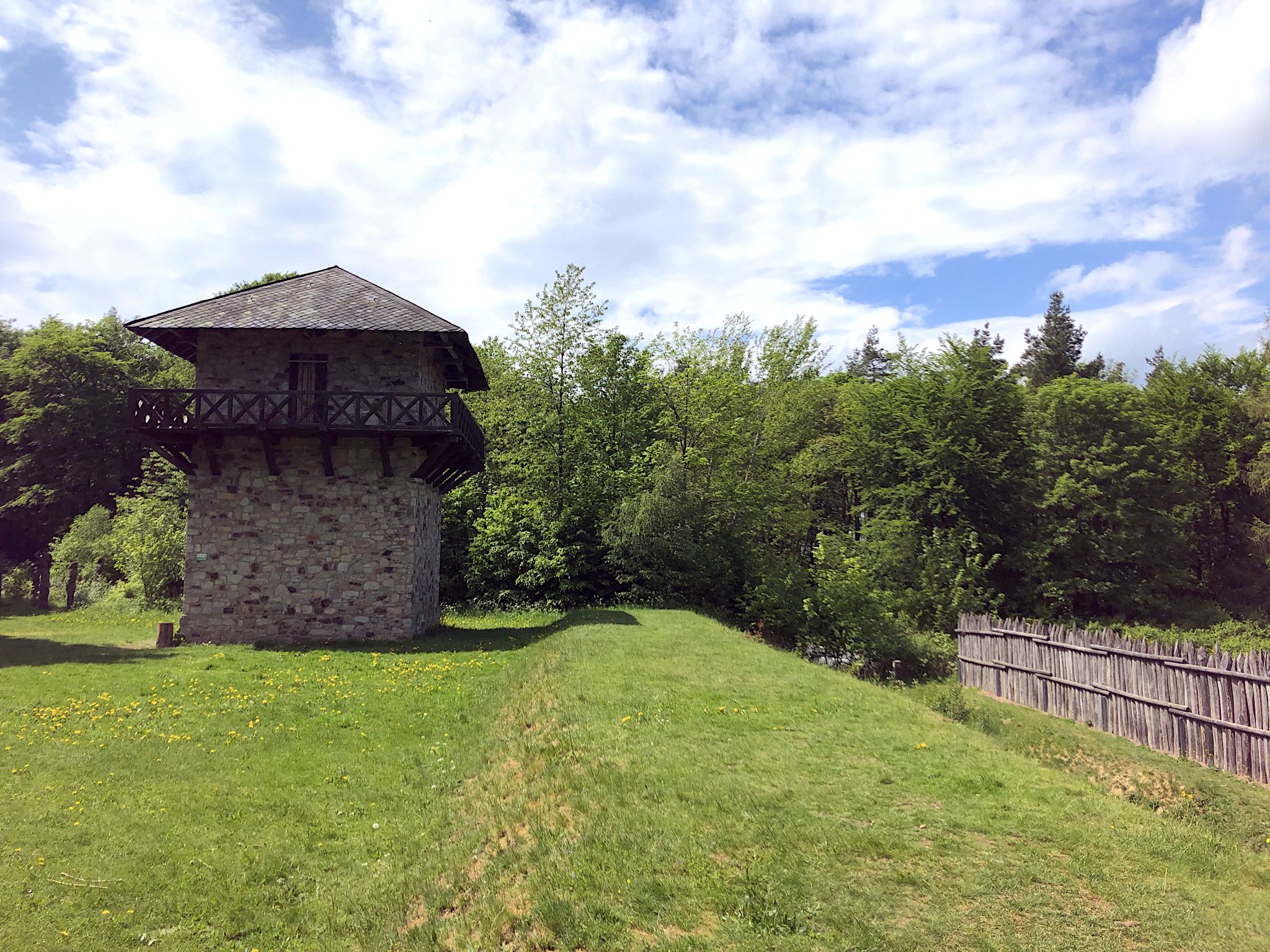
From the Limes to the Lahn – 4 days on the Aar-Höhenweg
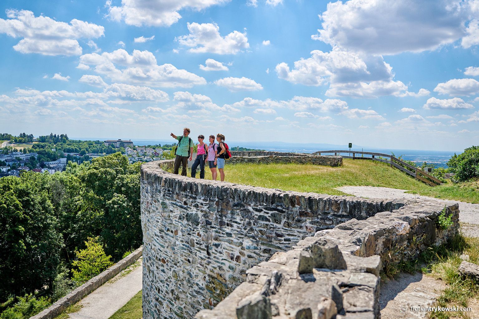
Experience nature and culture — hiking in Germany’s Taunus region
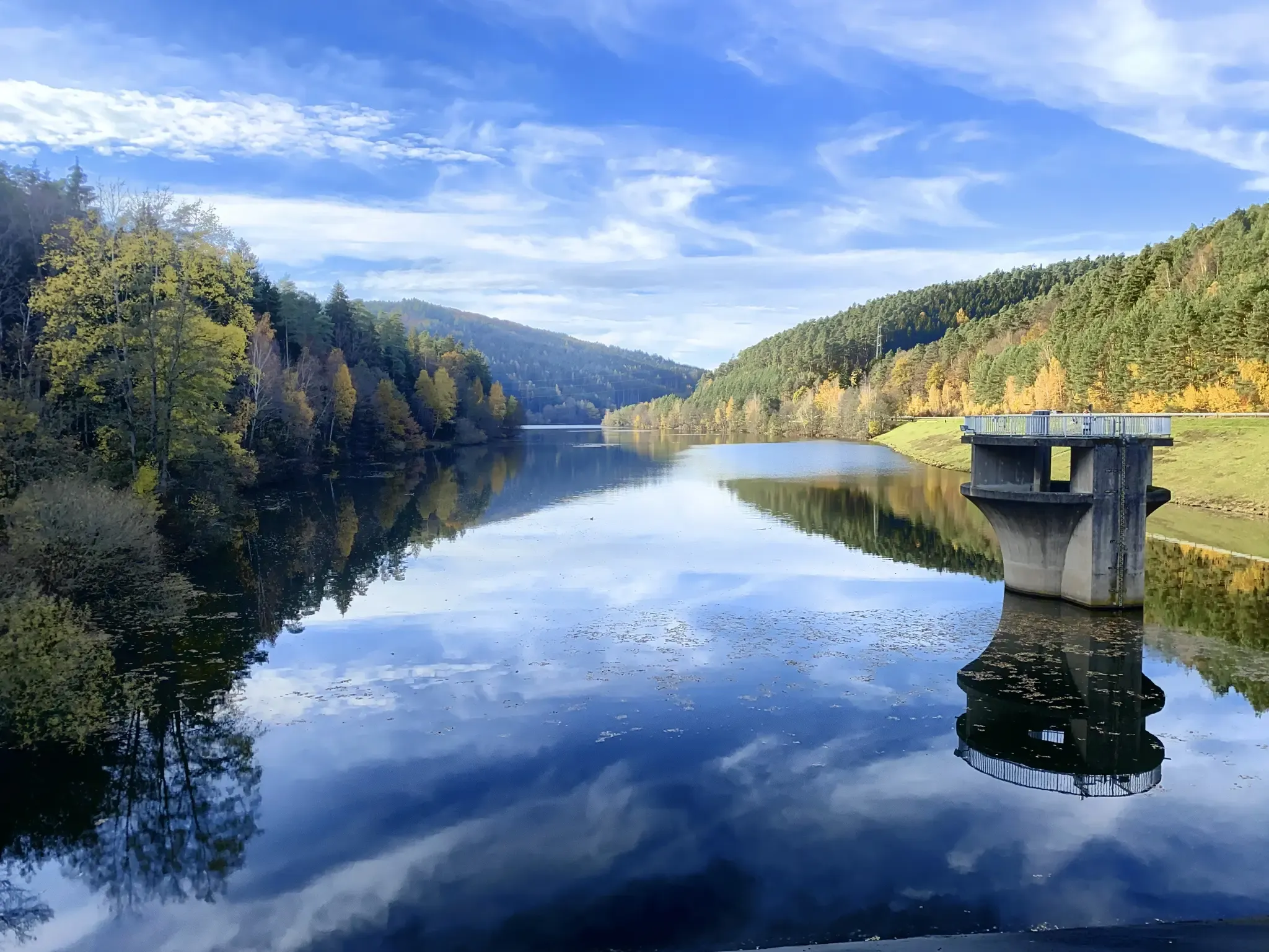
Mit Rosbacher auf Tour im Rhein-Main-Gebiet
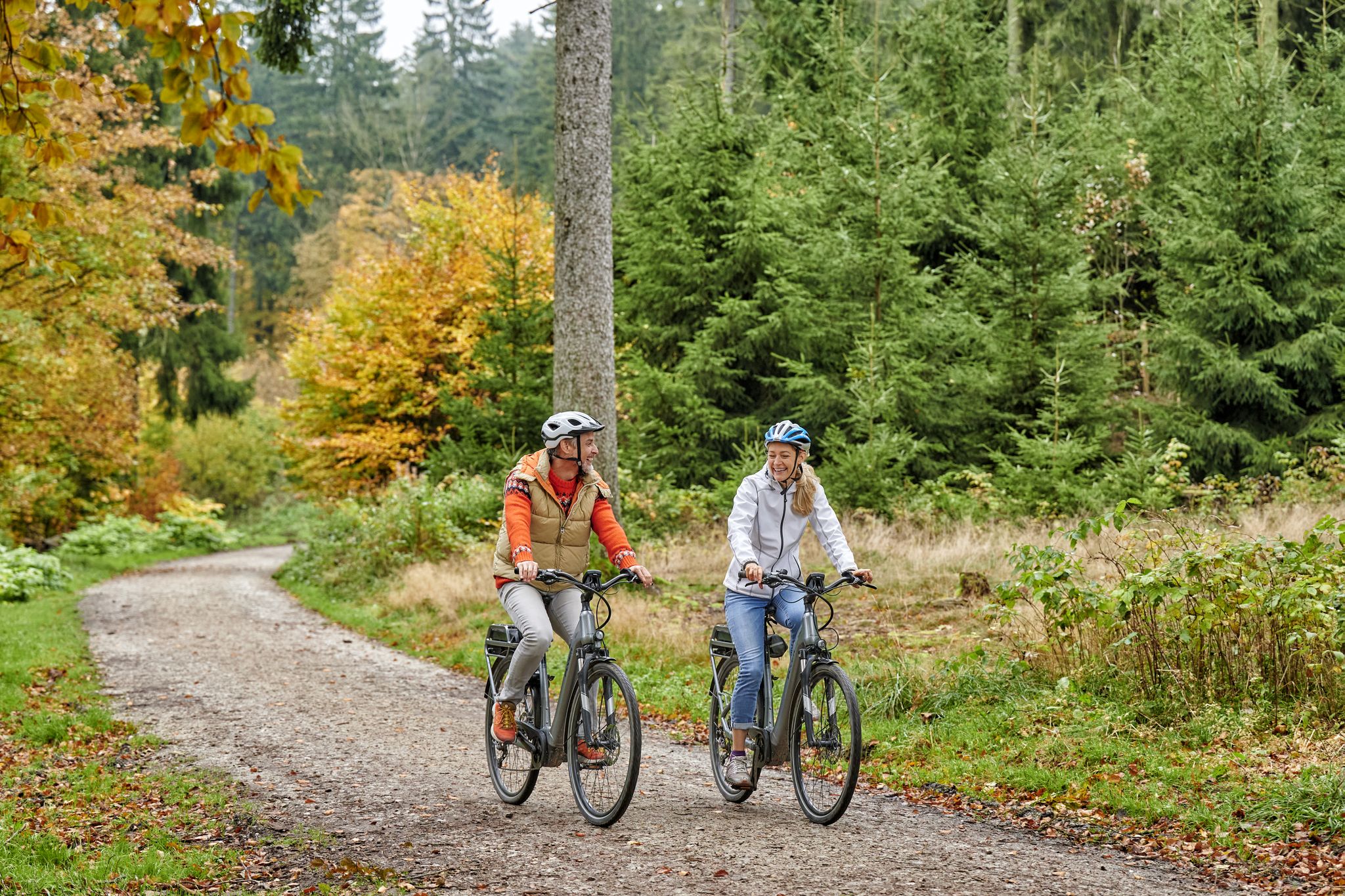
Radfahren im Taunus – Auspowern, genießen, entdecken
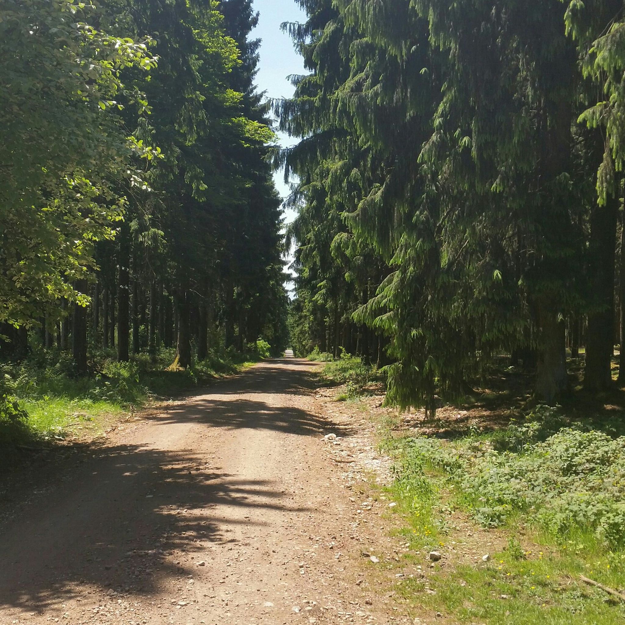
Hiking around Taunusstein
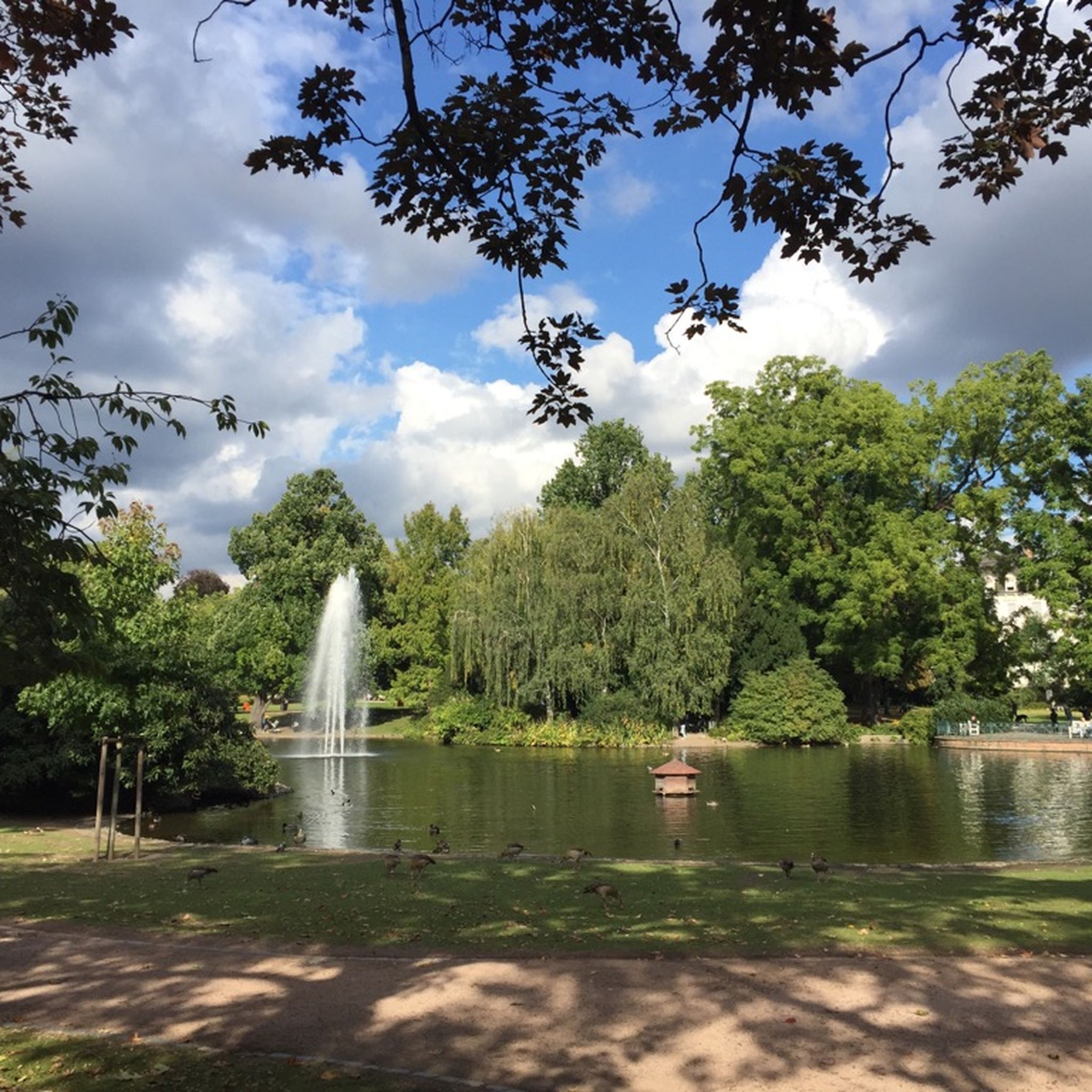
Cycling around Taunusstein
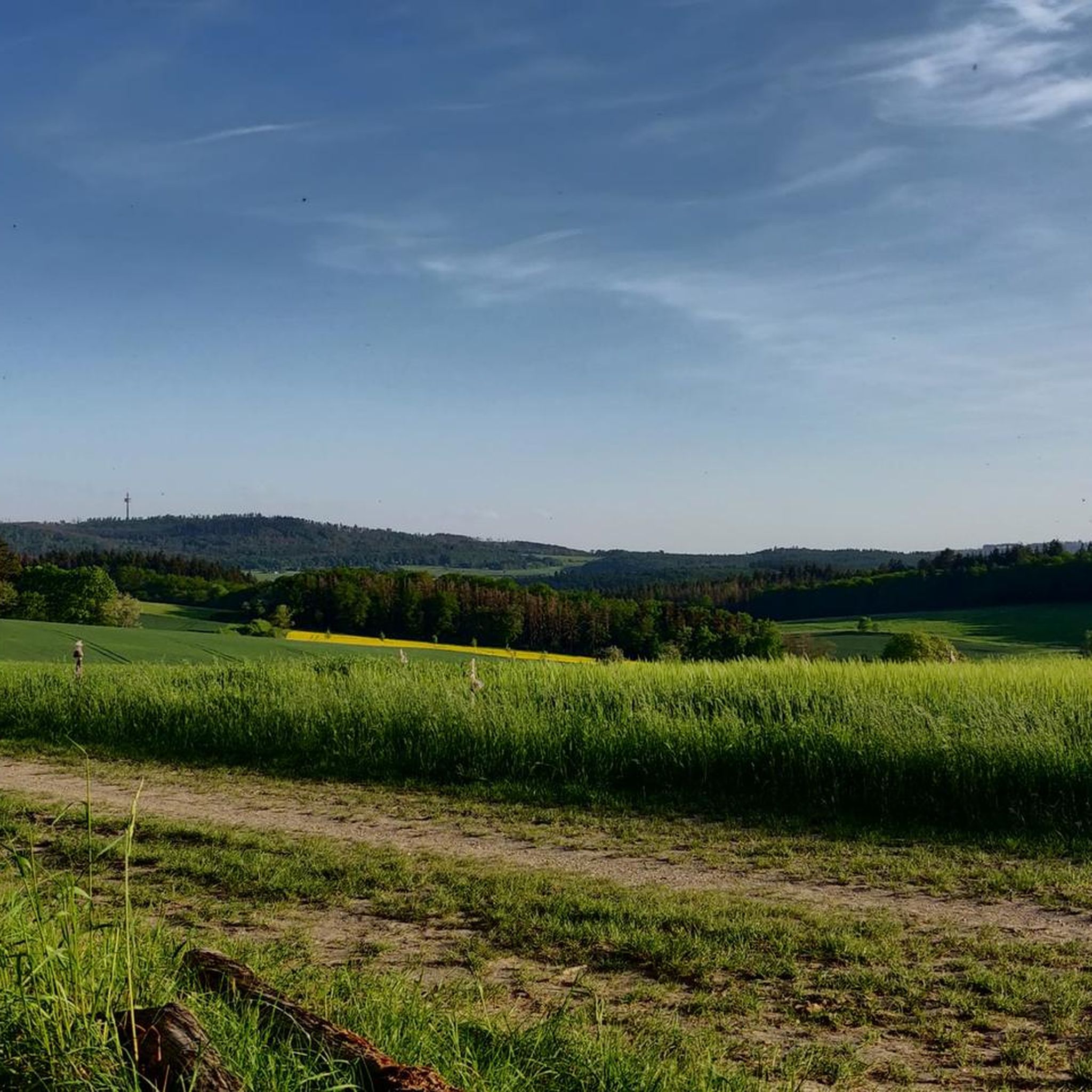
Running Trails around Taunusstein
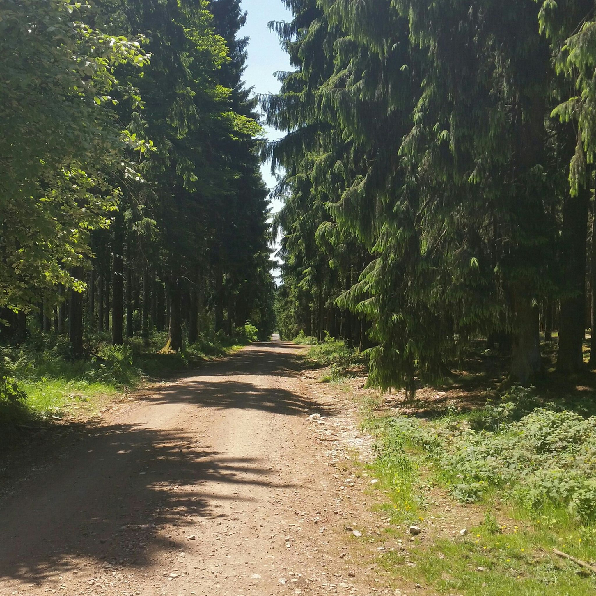
MTB Trails around Taunusstein
Road Cycling Routes around Taunusstein
Gravel biking around Taunusstein
Other adventures around Taunusstein


Tips from the Community


It's just such a great feeling to ride downhill for what feels like an eternity; definitely a must on a racing bike; few cars in traffic included.
0
0

There are also good parking options here to start a tour.
0
0

The station houses a forest restaurant called "Waldgeist". Nice ambience, but I didn't go in and can't say anything about the food.
2
0

There is a nice beer garden here. If you want to eat well, there is enough space inside too
1
0

There is now a restaurant in the station building that is worth visiting. The prices are still quite good and the dishes are very large.
3
0

It's a beautiful road, but there's far too much traffic for a good drive. Especially since there are still too many combustion engines.
4
0
Frequently Asked Questions
What are some of the most scenic viewpoints in the Taunusstein area?
The Taunusstein region offers several elevated points with panoramic views. Notable spots include Kellerskopf, which provides expansive views across Wiesbaden, Frankfurt, and the Rheinschleife. Another excellent viewpoint is Schläferskopf, home to the Kaiser Wilhelm Tower, offering impressive vistas over the Taunus region and the Upper Rhine Plain. The area around Ascent Hohe Wurzel of Wiesbaden also provides clear views, particularly towards the distant Feldberg.
Are there any historically significant mountain passes or elevated points to visit near Taunusstein?
Yes, the region is rich in history. The Eiserne Hand station is a historical site, formerly the highest point on the Aartalbahn railway, now a popular excursion restaurant. Schläferskopf features the historic Kaiser Wilhelm Tower, built in the early 20th century. Additionally, the Jagdschloss Platte (Platte Hunting Lodge) is a living monument from the 19th century, serving as a starting point for trails. The Limes Hiking Trail, a UNESCO World Heritage Site, also passes through the Taunus region, showcasing Roman frontier history with reconstructed watchtowers and fort remnants.
What kind of hiking trails can I find around Taunusstein's elevated points?
You'll find a variety of hiking trails. The Aar-Höhenweg (Aar High Trail) is a 65-kilometer long-distance path tracing the Aar river, offering scenic routes through forests and fields with historical significance. The Limes Hiking Trail combines history with nature. For shorter walks, areas like Kellerskopf and Bubenhäuser Höhe are popular. You can explore more hiking options, including routes like the "Platte Hunting Lodge – Kellerskopf Observation Tower loop," by visiting the Hiking around Taunusstein guide.
Are there challenging climbs for cyclists in the Taunusstein region?
Yes, cyclists looking for a challenge will find options. The Ascent Hohe Wurzel of Wiesbaden is a notable climb, three kilometers long with an average gradient of 10% and sections reaching 14%. Another favored climb is Col du Hausen Summit, known for its good road surface and low traffic, making it a popular choice in the Taunus.
Are there family-friendly options among the elevated points or trails in Taunusstein?
Several locations are suitable for families. The Kellerskopf area offers leisurely walks and a restaurant at the summit. The Jagdschloss Platte is a great starting point for scenic hiking trails that can be adapted for various fitness levels. The Eiserne Hand station, now a restaurant, is also categorized as family-friendly, providing a good stop for a break.
What are the best times of year to visit the mountain passes and elevated points around Taunusstein?
The Taunusstein region is enjoyable throughout the year, but spring, summer, and autumn are particularly popular for outdoor activities. Spring brings blooming nature, while summer offers longer daylight hours for exploration. Autumn provides stunning foliage. Even in winter, some trails are suitable for hiking, though conditions may vary, especially at higher elevations.
Where can I find food and refreshments near the mountain passes in Taunusstein?
You'll find several options for food and refreshments. The Eiserne Hand station houses a popular excursion restaurant. At the summit of Kellerskopf, there's a restaurant offering traditional German food. The Jagdschloss Platte also serves as an event location with a charming viewing platform, often having food services available. For more casual stops, Waldgeist Zur Eisernen Hand is a pub and restaurant option.
What do visitors enjoy most about the mountain passes and elevated points in Taunusstein?
Visitors frequently appreciate the panoramic views, the blend of natural beauty with historical sites, and the diverse recreational opportunities. The challenging climbs for cyclists, the well-maintained trails for hikers, and the welcoming restaurants at key locations like the Eiserne Hand station are often highlighted. The community has contributed 182 upvotes and 61 photos, reflecting a strong positive sentiment for the region's offerings.
Are there opportunities for mountain biking near Taunusstein's elevated points?
Yes, the Schläferskopf area is a popular spot for mountain biking, featuring a demanding downhill track. While the region is known for its hiking and road cycling, specific trails cater to mountain bikers seeking more challenging terrain.
What natural features characterize the elevated points around Taunusstein?
The elevated points around Taunusstein are characterized by their natural settings within the Taunus mountain range. You'll find extensive forests, cleared areas offering vistas through the trees, and diverse landscapes typical of a low mountain range. Locations like Hohe Wurzel are known for their natural environment, providing clear views and a sense of immersion in nature.
Can I find information about the Kaiser Wilhelm Tower at Schläferskopf?
Yes, the Kaiser Wilhelm Tower is a significant landmark at Schläferskopf. This observation tower, built in the early 20th century, offers impressive views over the Taunus region and the Upper Rhine Plain. Its unique design, resembling a medieval fighting tower with an unusual double spiral staircase, makes it a notable historical and architectural feature. You can find more information about its history on Wikipedia.
Are there any long-distance hiking trails that pass through the Taunusstein region?
Yes, two significant long-distance trails traverse the area. The Aar-Höhenweg (Aar High Trail) spans 65 kilometers, following the Aar river from its source in Taunusstein-Orlen. Additionally, the Limes Hiking Trail, part of the UNESCO World Heritage Site, follows the Upper Germanic-Rhaetian Limes, offering a unique historical and natural journey through the region.
Most popular routes around Taunusstein
Most popular attractions around Taunusstein

Get inspired with the komoot mobile app


Explore more
See even more epic mountain passes by checking out these guides around Taunusstein:
