Top 8 Mountain Passes around Rankweil
Best mountain passes around Rankweil serve as gateways to the diverse landscapes of Vorarlberg, Austria. The region is characterized by its alpine terrain, offering routes that connect valleys and provide access to higher elevations. Rankweil itself is a base for exploring these mountain passes, which are popular for various outdoor activities. The area features a mix of well-maintained pass roads and hiking trails through meadows and rock formations.
Best mountain passes around Rankweil
- The most popular mountain passes is Ress…
Last updated: June 24, 2026
Ress Pass
Highlight • Mountain Pass
Translated by Google •
Tip by

Kastensattel 1678 m
Highlight • Mountain Pass
Appenzell Innerrhoden, St. Gallen
The Kastensattel is a mountain pass at the foot of the Hoher Kasten. It lies directly on the cantonal border …
Translated by Google •
Tip by

Sign up now to discover places like this
Get recommendations on the best single tracks, peaks, & plenty of other exciting outdoor places.
Sign up for free
Saroja Pass (Liechtenstein–Austria)
Highlight • Mountain Pass
Showing Translation
Tip by

Matonajöchle
Highlight • Viewpoint
Translated by Google •
Tip by

At the Foot of Hoher Kasten
Highlight (Segment) • Viewpoint
Translated by Google •
Tip by

Sign up for free to discover even more mountain passes around Rankweil.
Sign up for free
Already have an account?
Start today with a free account
Your next adventure awaits.
Login or Signup
Popular around Rankweil
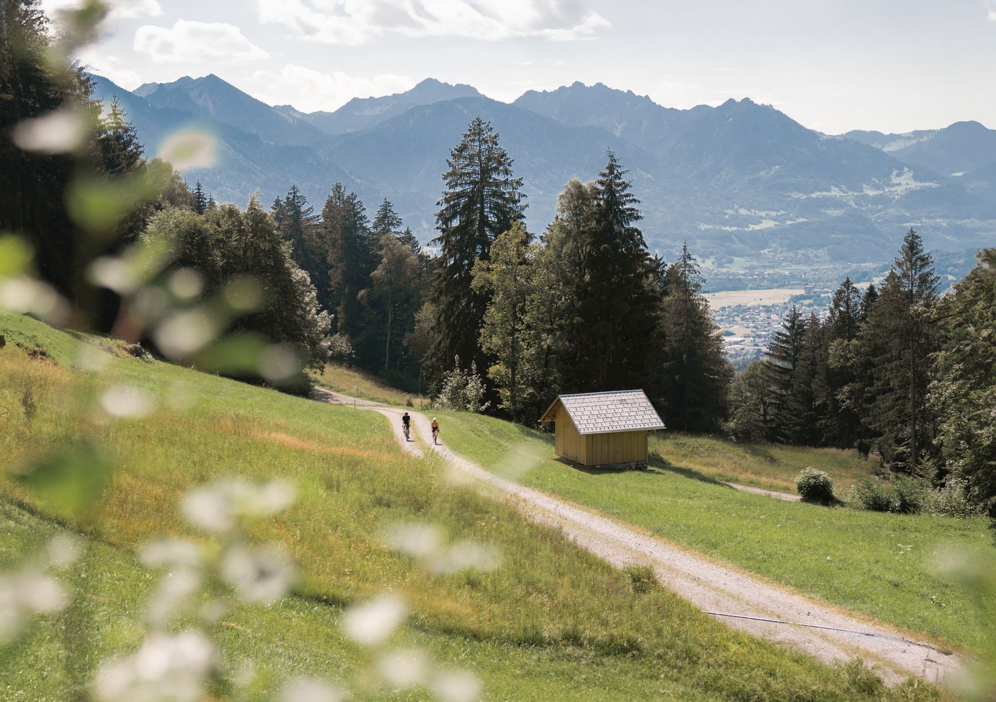
Discover Vorarlberg by gravel bike – twelve superb Tours
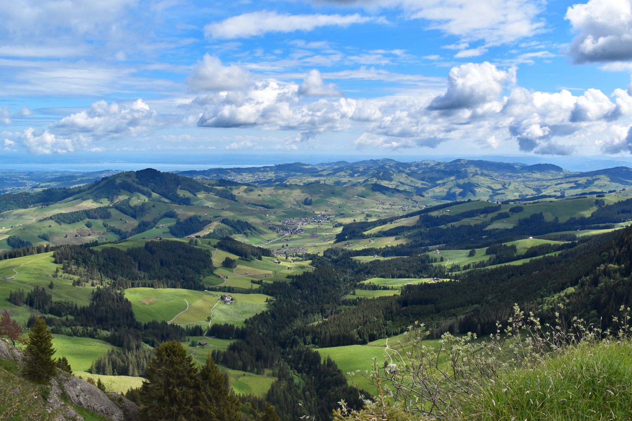
Appenzeller Weg – pilgrimage routes from Austria to Switzerland
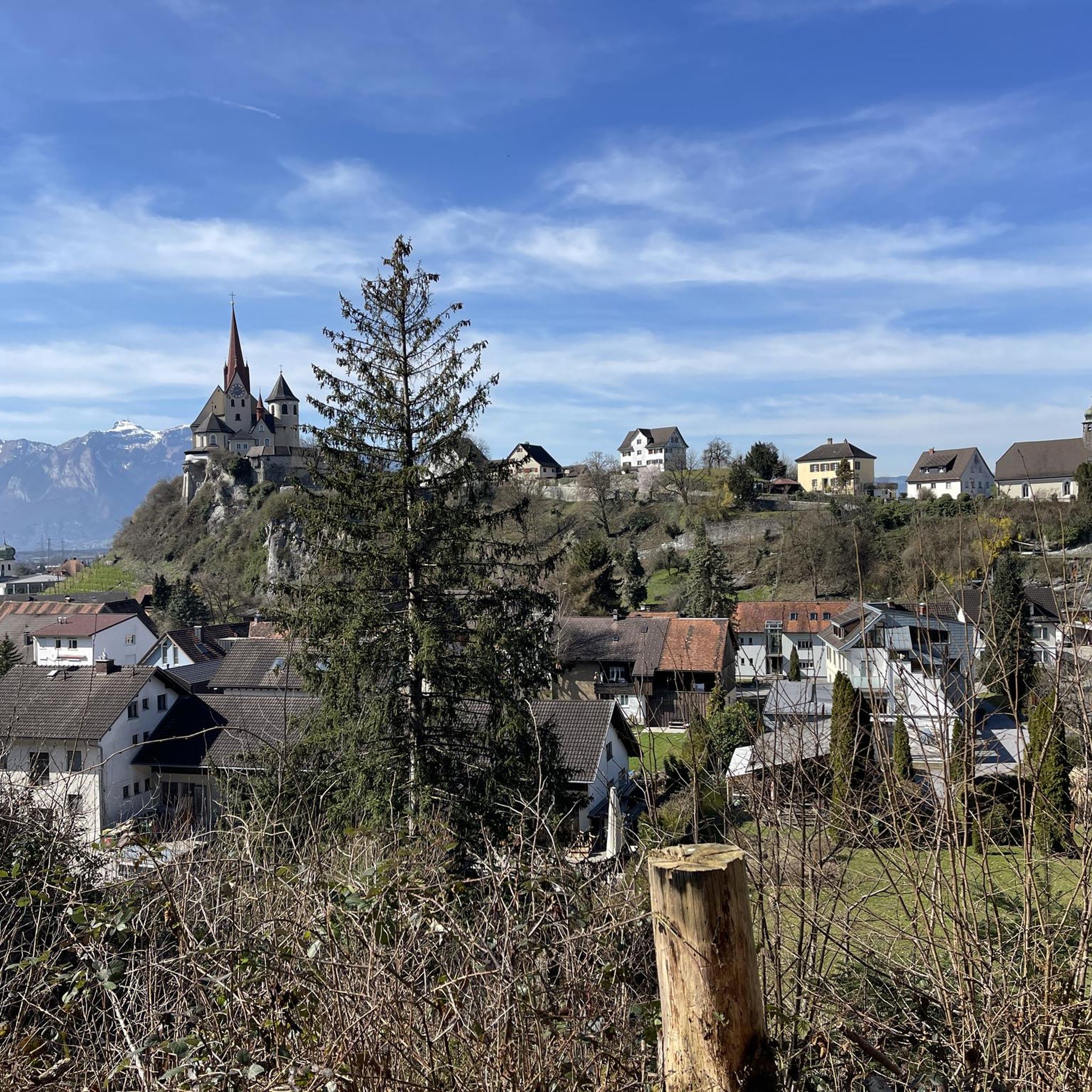
Cycling around Rankweil
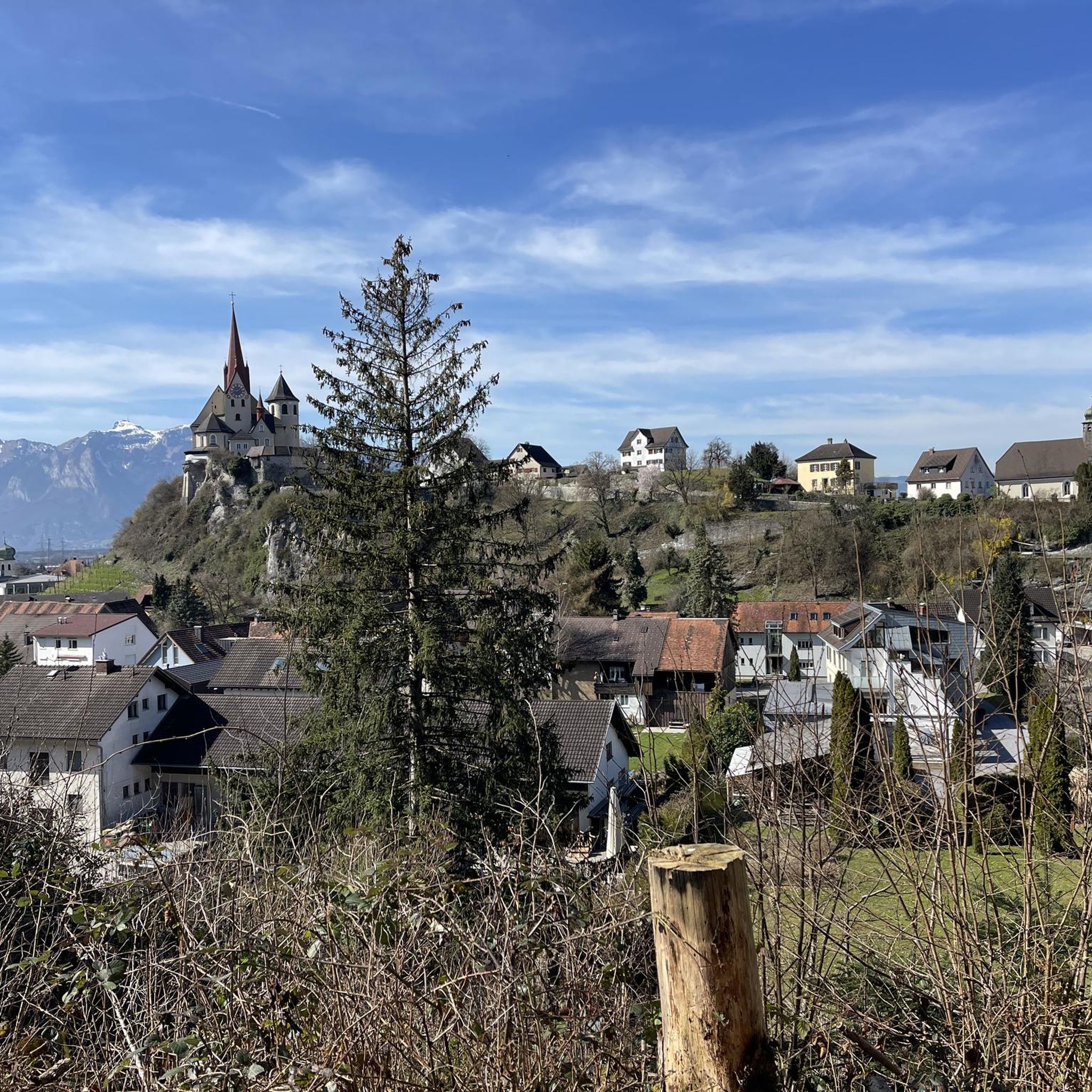
MTB Trails around Rankweil
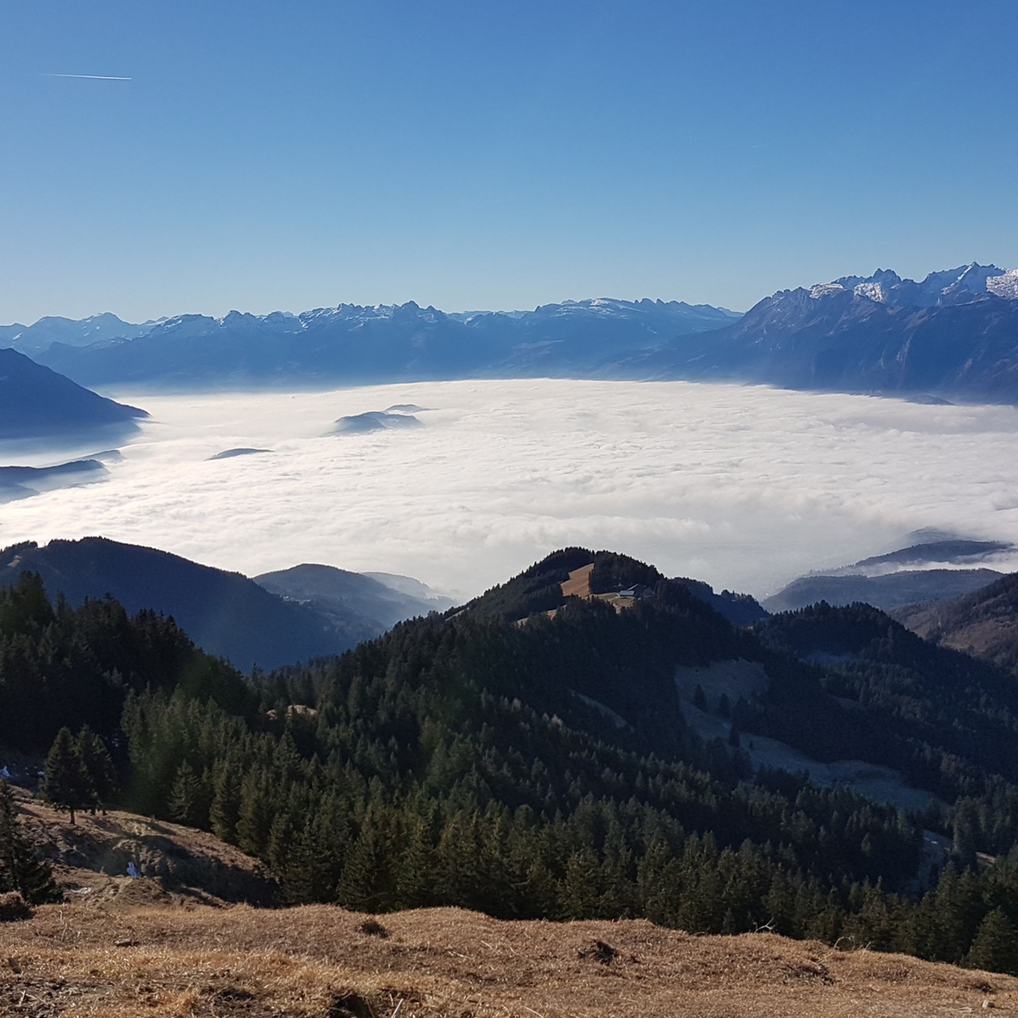
Hiking around Rankweil
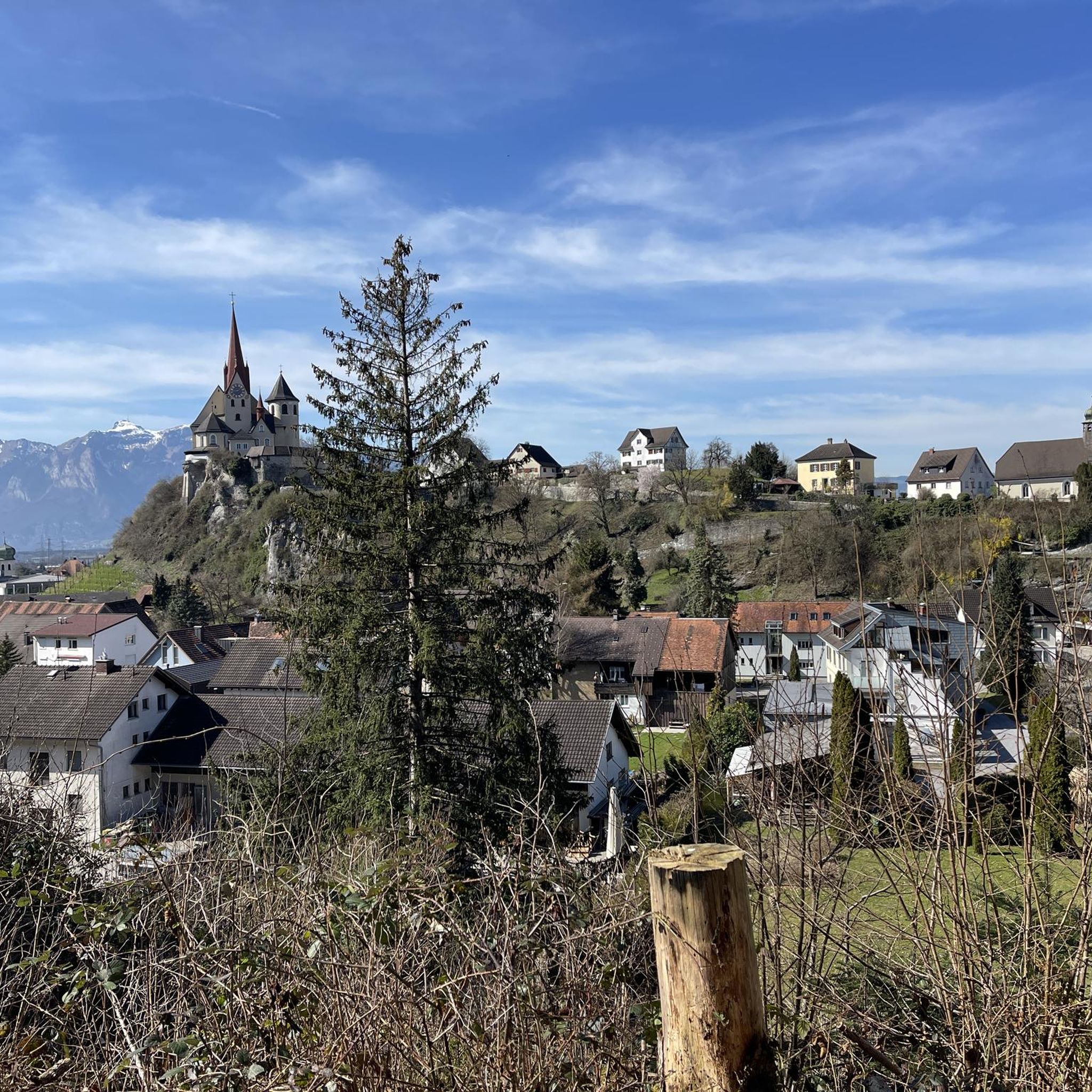
Road Cycling Routes around Rankweil

Gravel biking around Rankweil
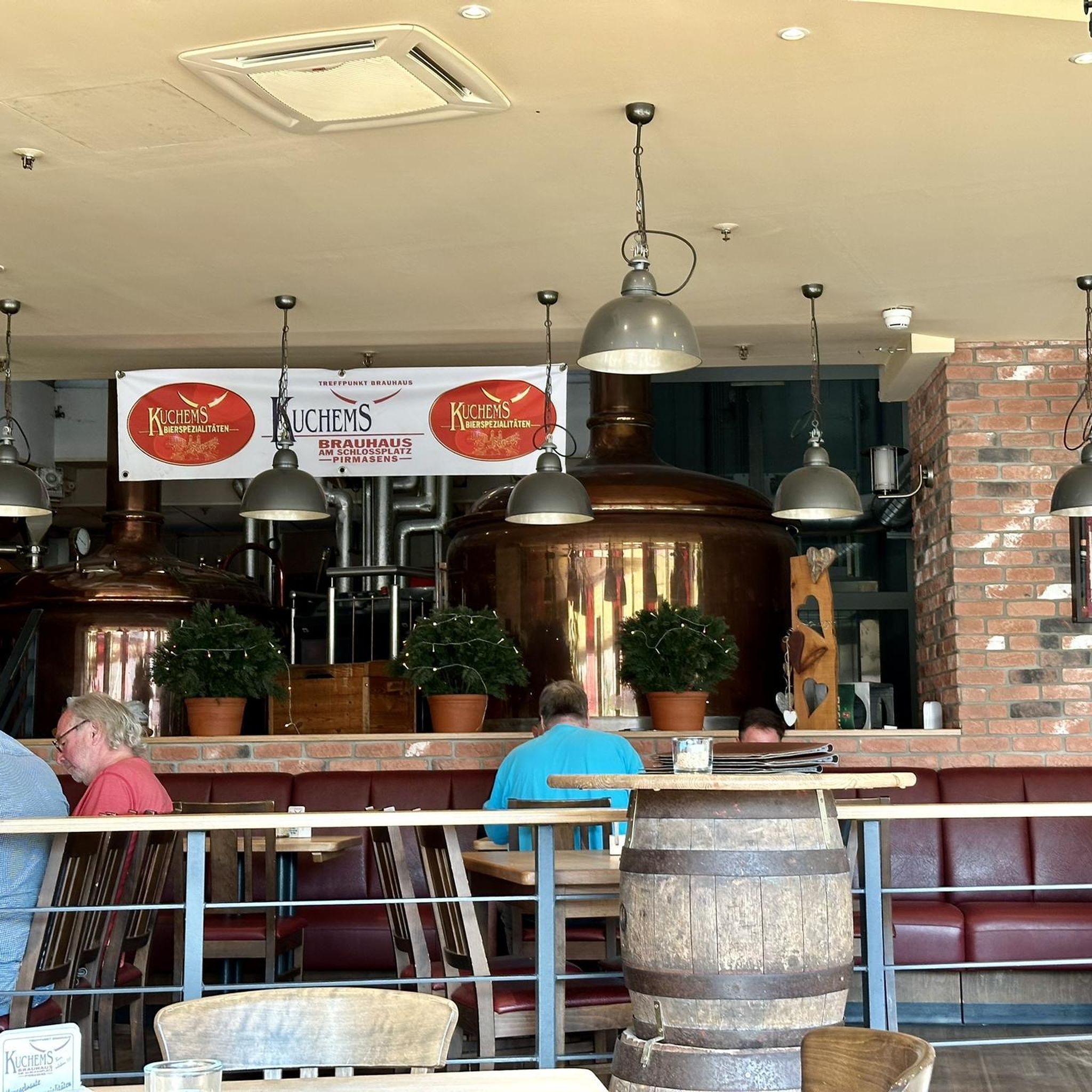
Mountain Hikes around Rankweil
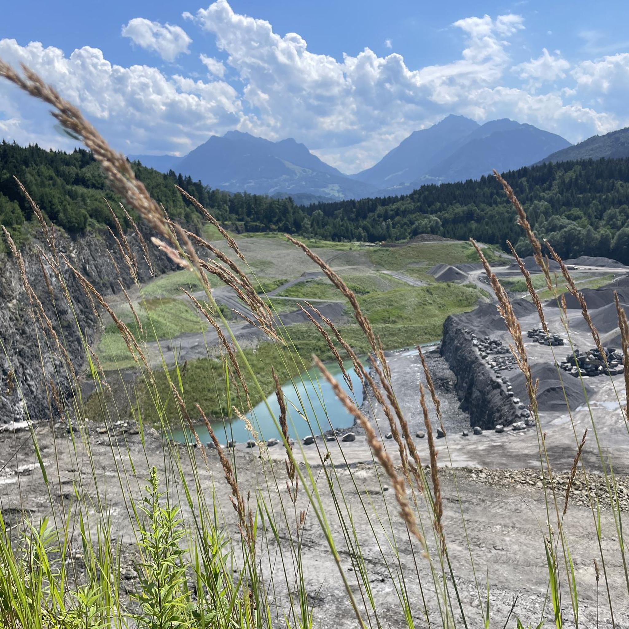
Running Trails around Rankweil


Tips from the Community

pretty here, very pretty
3
0

We passed by here on the way from Forstseeli to Fähnerenspitze. 🥰
3
0

The Saroja Saddle is located on the border between Liechtenstein and Austria on the northern foothills of the Three Sisters. The saddle is at 1,650 meters.
1
0

The Resspass 1,309 m is a drivable crossing between Brülisau (Alpstein) and the Forstseeli (Rheintal).
1
0

From here it is another 15-20 minutes up to the Hoher Kasten... From here you can descend towards the Ruhesitz via two paths, directly and steeper or a little further around the Kamor
4
0


Kastensattel 1678 m AI / SG Appenzell Innerrhoden, St. Gallen The Kastensattel is a mountain pass at the foot of the Hoher Kasten. It lies directly on the cantonal border of Appenzell Innerrhoden and St. Gallen at an altitude of 1678 meters above sea level. A mountain hiking trail runs over the saddle from Brülisau in Appenzellerland eastwards to Rüthi in the St. Gallen Rhine Valley. From the Kastensattel it is only a twenty-minute hike up to the summit of the Hoher Kasten (1794m above sea level), where you can get something to eat and enjoy the beautiful panorama. From the crossing, however, there are many other hiking destinations to choose from. Mountain hiking trails lead to Plattenbödeli (1h10min) with the Sämtisersee, to Bollenwees (2h15min) with the Fälensee or to Montlinger Schwamm (1h20min), where there are mountain inns. The valley towns can be reached in just under one and a half hours (Brülisau) or just under three hours (Rüthi). Text / Source: fuorcla.ch https://fuorcla.ch/kastensattel/
14
0
Frequently Asked Questions
Which mountain passes near Rankweil offer the most impressive views?
For breathtaking vistas, consider the Ress Pass, which provides mountain paths leading towards Fähnerenspitz and Kamor. Another excellent spot is At the Foot of Hoher Kasten, offering views of the Kamor and Hoher Kasten. The Flexen Pass is also renowned for its impressive alpine vistas and the unique Flexengalerie.
Are there any family-friendly mountain passes or trails around Rankweil?
While many passes involve intermediate to challenging terrain, the Matonajöchle viewpoint, which is part of the route to Hohe Matona, is categorized as family-friendly. It offers a bench to pause and enjoy the wonderful landscape, and the summit of Hohe Matona is not far from this point.
What are the best mountain passes for cycling near Rankweil?
The Hochtannberg Pass is ideal for leisure cyclists with mountain ambitions, offering a scenic and relatively smooth ascent with wide bends and mountain panoramas. It's often combined with the Flexen Pass for a comprehensive panoramic road trip. For more cycling routes in the area, you can explore the Cycling around Rankweil guide.
Which mountain passes near Rankweil have historical significance?
The Saroja Pass (Liechtenstein–Austria) is rich in history. Located on the border between Liechtenstein and Austria, it was first mentioned in 1319 and played a role in the Swabian War of 1499 and the Coalition Wars of 1799. It also served as an important route for smuggling and escape.
What kind of hiking opportunities are available near the mountain passes around Rankweil?
Many mountain passes serve as excellent starting points for hikes. From the Kastensattel 1678 m, you can find mountain hiking trails leading to Plattenbödeli with the Sämtisersee, to Bollenwees with the Fälensee, or to Montlinger Schwamm. The Hochtannberg Pass is also a popular starting point for various hikes and mountain tours. For more options, check out the Mountain Hikes around Rankweil guide.
Can I access the Silvretta High Alpine Road from Rankweil, and what are its features?
The Silvretta High Alpine Road, often called the 'Dream Road of the Alps,' is accessible from the Vorarlberg side via the Vermuntbahn during summer operations, allowing access to the Bielerhöhe. When fully open, it features 34 curves, breathtaking views of the Silvretta Alps, and the beautiful Silvretta Reservoir with its turquoise glacial waters. It also offers views of the towering Piz Buin Peak. Please note that due to rockfalls, the full road is expected to reopen in summer 2030, but access to Bielerhöhe from Vorarlberg is still possible via Vermuntbahn.
Are there any mountain passes near Rankweil that are suitable for beginners?
The Hochtannberg Pass offers a relatively smooth ascent, making it suitable for those who appreciate panoramic views without extreme gradients, and it's considered a technically moderate alpine climb. While many trails can be challenging, some sections or shorter walks around passes like Hochtannberg can be enjoyed by beginners.
What natural features can I expect to see on the mountain passes near Rankweil?
You can expect to see lush meadows, rugged rock formations, and panoramic views of the Lechtal and Allgäu Alps. The Hochtannberg Pass features the tranquil Kalbelesee lake. The Flexen Pass is known for its impressive alpine vistas and the Rhine-Danube watershed. The Silvretta High Alpine Road, when fully accessible, showcases the Silvretta Reservoir with its turquoise glacial waters and views of Piz Buin Peak.
What do visitors enjoy most about the mountain passes around Rankweil?
Visitors appreciate the diverse landscapes, from scenic drives and cycling routes to challenging hiking trails. The panoramic views, especially from spots like Ress Pass and At the Foot of Hoher Kasten, are highly praised. The region's mix of well-maintained pass roads and natural beauty makes it appealing for various outdoor activities.
Are there any mountain passes near Rankweil that are particularly good for mountain biking?
While specific mountain biking trails directly on the passes are not detailed, the region around Rankweil offers extensive mountain biking opportunities. You can find various routes, including challenging ones like the Laternsertal Valley loop or the Oberer Rank Cross Viewpoint loop, in the MTB Trails around Rankweil guide.
What is the best time of year to visit the mountain passes near Rankweil?
The warmer months, typically from late spring to early autumn, are ideal for scenic drives, cycling, hiking, and mountain biking on most passes. During winter, passes like the Flexen Pass serve as gateways to ski areas, but road conditions and accessibility for other activities may vary. Always check local conditions before planning your trip.
Most popular routes around Rankweil
Most popular attractions around Rankweil

Get inspired with the komoot mobile app


Explore more
See even more epic mountain passes by checking out these guides around Rankweil:
