Top 20 Natural Monuments around Hinterhornbach
Best natural monuments around Hinterhornbach include a pristine natural environment nestled in the Hornbach valley, a side valley of the Tyrolean Lechtal. This region offers significant natural features and serves as a starting point for exploring the Hornbach Chain and Allgäu Alps. The area is characterized by its untouched nature, providing opportunities for outdoor activities in an unspoiled setting. Its tranquil atmosphere makes it a destination for those seeking natural landscapes.
Best natural monuments around Hinterhornbach
- The most popular natural…
Last updated: July 7, 2026
Freibergsee
Highlight • Lake
Showing Translation
Tip by

Lower Gaisalp Lake
Highlight • Lake
Showing Translation
Tip by

Sign up now to discover places like this
Get recommendations on the best single tracks, peaks, & plenty of other exciting outdoor places.
Sign up for free
View of the Gaisalpsee waterfall
Highlight • Waterfall
Translated by Google •
Tip by

View of the Freibergsee
Highlight • Viewpoint
Translated by Google •
Tip by

Oytal Valley
Highlight (Segment) • Gorge
Translated by Google •
Tip by

Sign up for free to discover even more natural monuments around Hinterhornbach.
Sign up for free
Already have an account?
Start today with a free account
Your next adventure awaits.
Login or Signup
Popular around Hinterhornbach

Ibex Tour extended – Crossing the Allgäu Alps
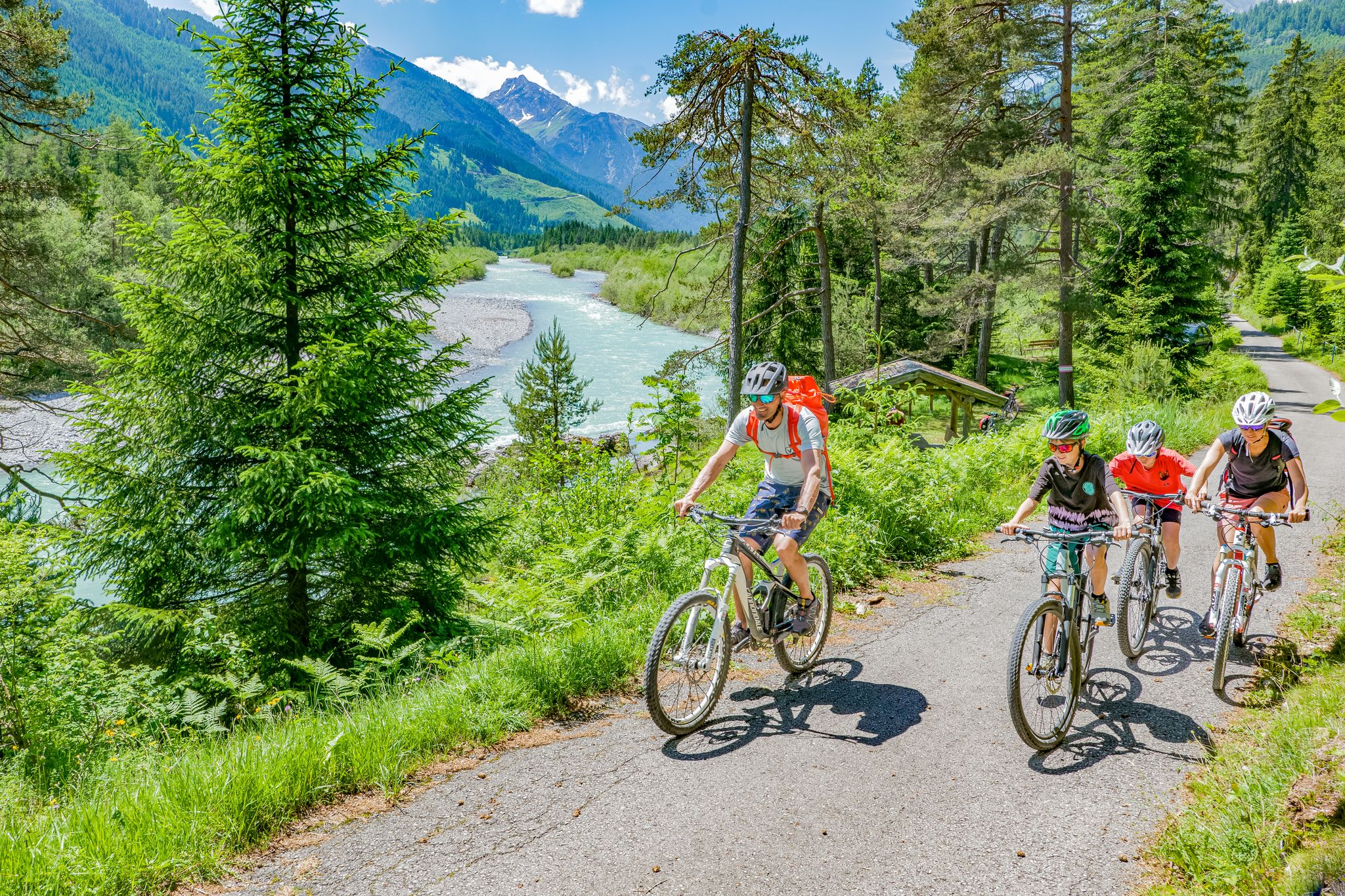
Cycling in the Tyrolean Lech Valley – 10 varied routes along the wild Lech river

Hiking without borders – mountainous Tours in Germany and Austria
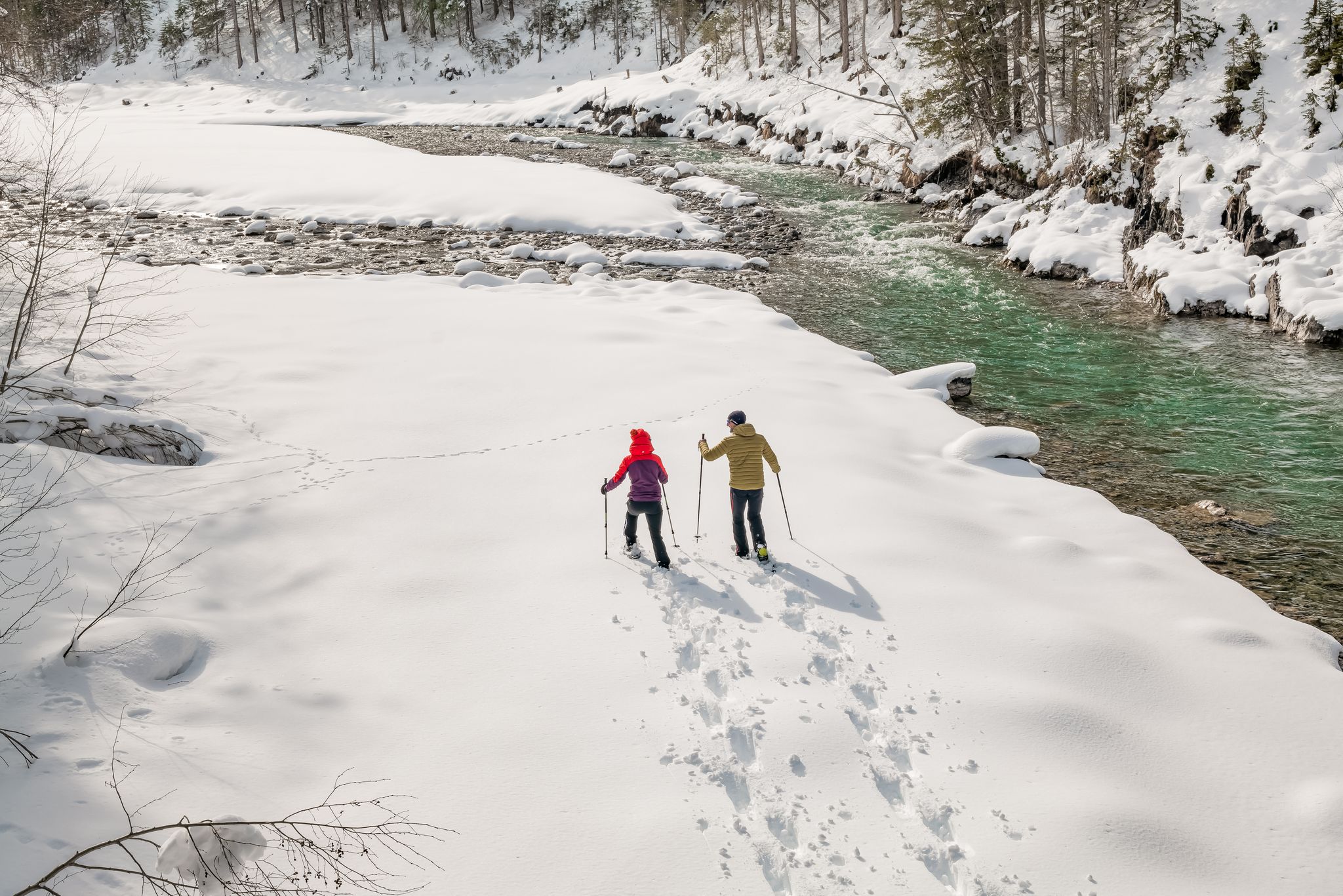
Winter hiking along the last wild river landscape in Europe – Tyrolean Lech Valley
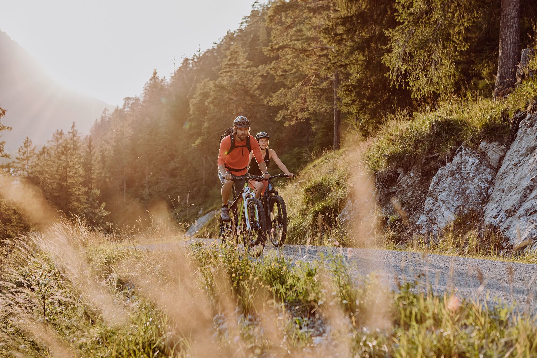
Alpine panorama and mountain huts – nature biking in Germany’s Allgäu
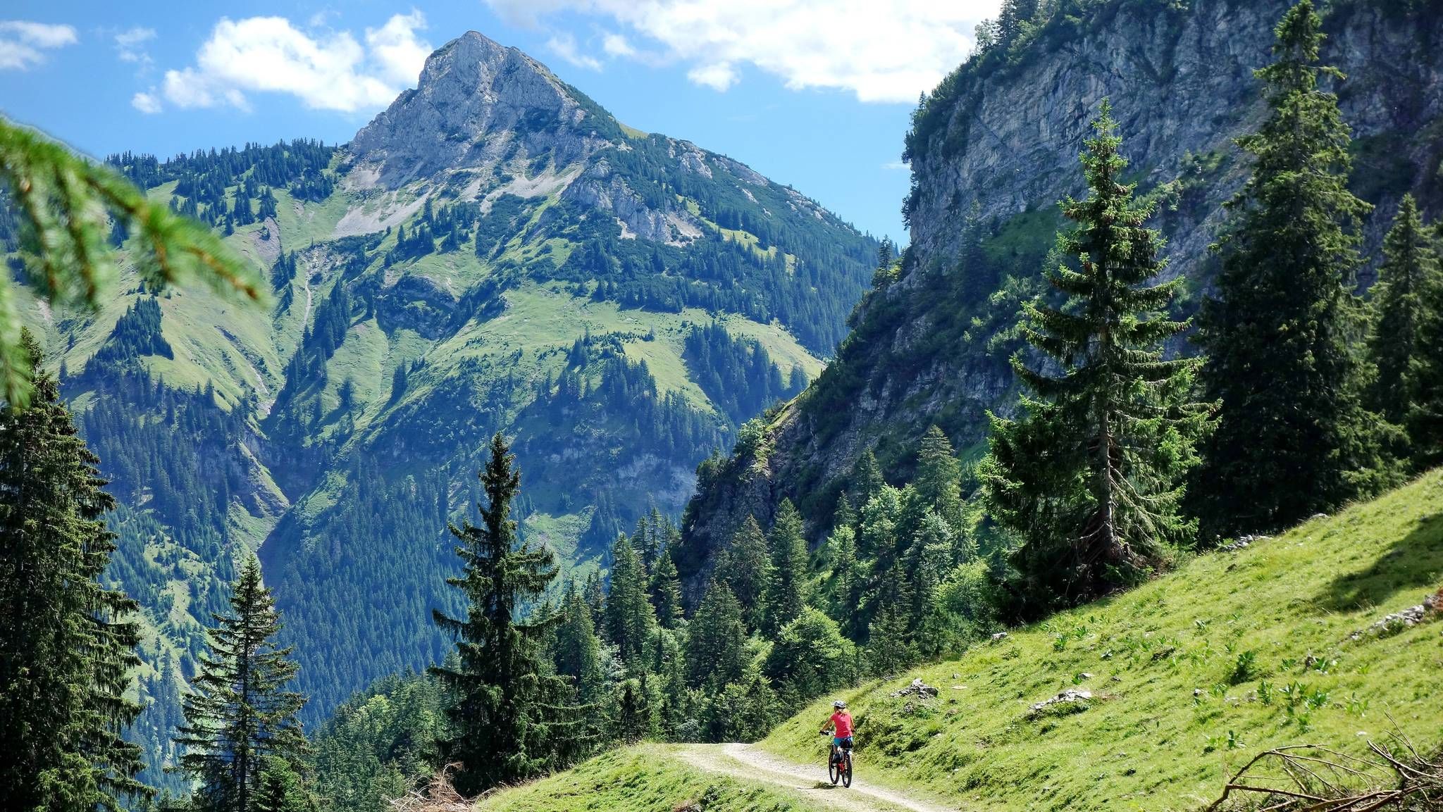
MTB fun around Austria’s Tannheim Valley
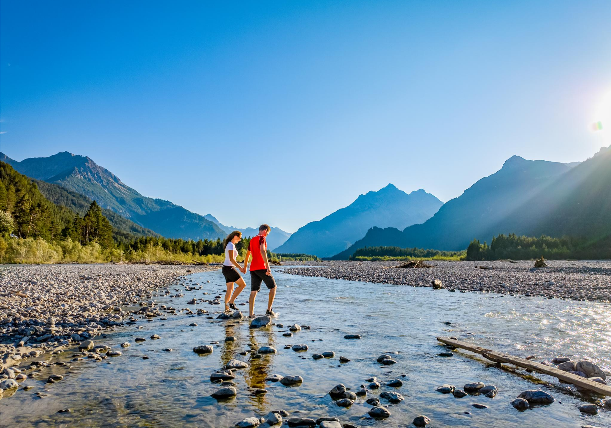
A river that runs wild – hiking in Austria’s Lechtal Valley
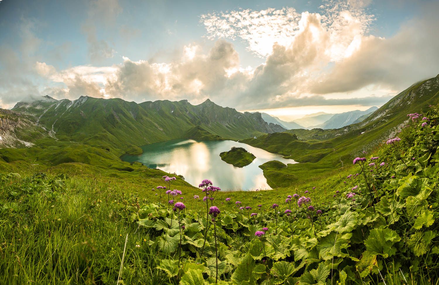
Grenzgänger – 6 Days Long Distance Hiking in Tannheimer Tal
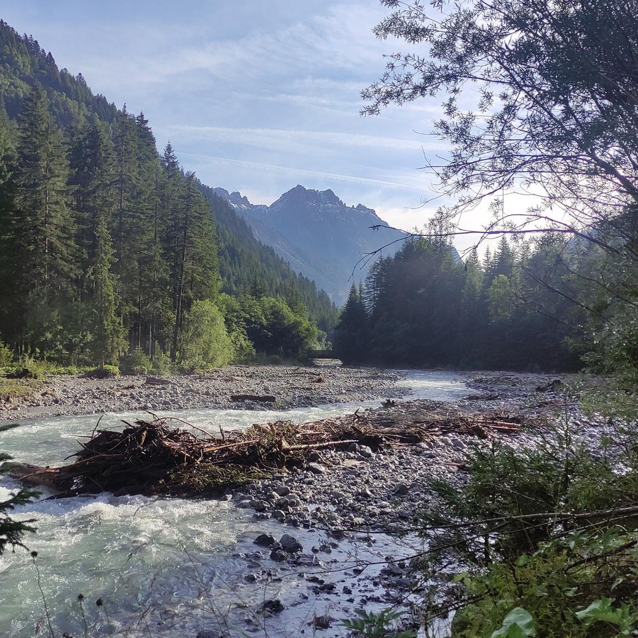
MTB Trails around Hinterhornbach
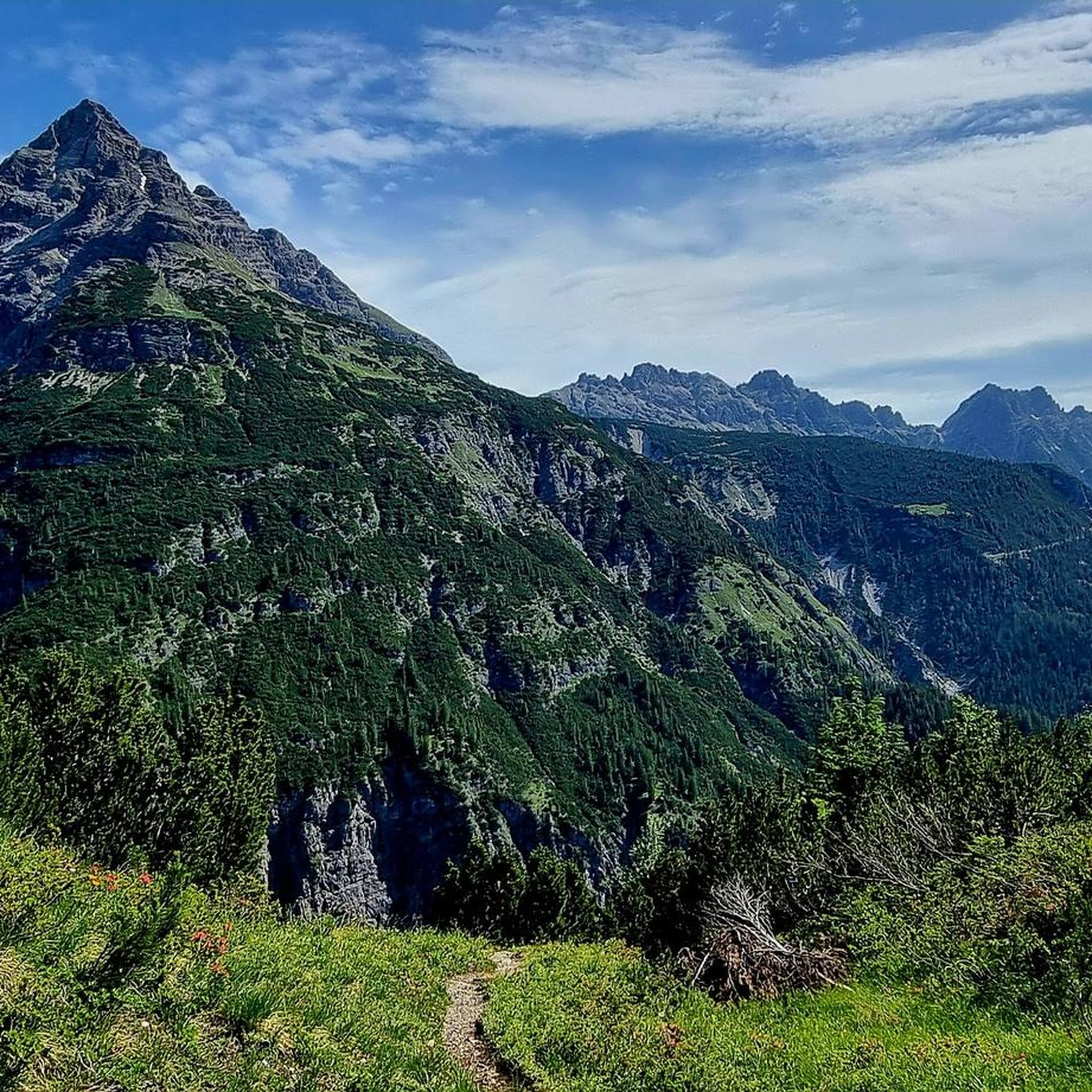
Cycling around Hinterhornbach
Other adventures around Hinterhornbach


Tips from the Community

The Freibergsee is located at an altitude of 930 meters. With a water surface of around 16 hectares, it is the largest high mountain lake in the Allgäu. The Freibergsee has no visible inflows or outflows. Its periodically fluctuating water level is regulated by underground inflows and outflows. The lake was formed during the ice ages when the ice masses of the Stillach glacier towered 700 to 800 meters high above the current location.
18
0
The Freibergsee is located at 930 m above sea level. With around 16 hectares of water surface, it is the largest high mountain lake in the Allgäu Alps. The Freibergsee has no visible inflows or outflows; its periodically fluctuating water level is regulated by underground flows. The lake was formed during the ice ages, when masses of ice from the Stillach glacier piled up 700 to 800 m high above the current location.
14
0

The path is a challenge, the lake is a revelation!
4
0

You should take a few minutes for the view. The mountains in the background, the Freibergsee in front of it, best with a blue sky - fantastic!
4
0

The natural pool with an enchanting mountain view offers Allgäu delicacies and international cuisine and bathing fun for young and old. See: https://naturbad-freibergsee.de/
6
0

Brilliant view! The climb is worth it. However, good shoes and sure-footedness are recommended!
4
0

Very beautiful idyllic natural bathing lake. Due to its size there is the possibility of boating. Great terrace with a view of the Heini-Klopfer ski jump. There is also a restaurant (self-service). There is a circular route around the lake.
8
0

Fantastically located very cold mountain lake in an idyllic location that is not difficult to reach
10
0
Frequently Asked Questions
What are some of the most popular natural monuments around Hinterhornbach?
The region around Hinterhornbach is known for its pristine natural environment. Among the most popular natural monuments are Freibergsee, the largest high mountain lake in the Allgäu, and the idyllic Lower Gaisalp Lake. Visitors also highly appreciate the View of the Gaisalpsee waterfall, especially impressive during snowmelt.
Are there family-friendly natural monuments to visit near Hinterhornbach?
Yes, several natural monuments are suitable for families. Freibergsee and Lower Gaisalp Lake are both categorized as family-friendly. Additionally, the Oytal Valley offers good paths suitable for all ages, with opportunities to see waterfalls and enjoy the natural surroundings.
What kind of natural features can I expect to see in the Hinterhornbach area?
Hinterhornbach is characterized by its 'pure nature.' You can explore the untouched character of the Hornbach River, which carves a wide riverbed through the valley. The region also features stunning alpine lakes like Christlessee, impressive waterfalls such as the Gaisalpsee waterfall, and vast mountain ranges including the Hornbach Chain and Allgäu Alps with peaks like Hochvogel.
What outdoor activities can I do near these natural monuments?
The area around Hinterhornbach is ideal for various outdoor activities. You can enjoy extensive hikes into the Hornbach Chain and Allgäu Alps, with trails leading to peaks like Bretterspitze and Hochvogel. Mountain biking is popular, with routes like 'To the Petersbergalm' available. In winter, the region transforms into a snowy wonderland with cross-country ski trails and winter hiking paths. For more details on routes, you can explore the Mountain Hikes, MTB Trails, and Road Cycling Routes around Hinterhornbach.
Are there any challenging hikes to mountain peaks in the region?
Yes, for experienced mountaineers, the Hornbach Chain and Allgäu Alps offer challenging ascents. Peaks like the Urbeleskarspitze, Bretterspitze, and Hochvogel provide rewarding experiences with breathtaking panoramic views. The Hochvogel, at 2,592 meters, is a popular destination with marked routes recommended for those with mountaineering experience. You can find routes like the 'Bretterspitze Summit (2,608 m) – Kaufbeurer Hut loop' or 'Hochvogel summit – Schnur Rock Ledge loop' in the Mountain Hikes around Hinterhornbach guide.
What is the Petersbergalm and what does it offer?
The Petersbergalm is an alpine pasture farm located at 1250 meters in the rear Hornbach valley. It's a popular destination for hikers and mountain bikers, accessible via a moderate five-kilometer route. Visitors can enjoy homemade cheese, 'Kaminwurzen' (a type of sausage), fresh milk, and traditional alpine cuisine, all while taking in scenic views and experiencing local traditions.
What is the best time to visit the natural monuments around Hinterhornbach?
The best time to visit depends on your preferred activities. During warmer months, you can enjoy hiking, mountain biking, and swimming in lakes like Lower Gaisalp Lake (though it's cold!). Spring snowmelt makes waterfalls like the Gaisalpsee waterfall particularly impressive. In winter, the area transforms into a snowy wonderland, perfect for cross-country skiing and winter hiking.
What do visitors enjoy most about the natural monuments in Hinterhornbach?
Visitors consistently praise the 'pure nature' and tranquility of the Hinterhornbach region. They appreciate the opportunities for outdoor activities in an unspoiled environment, from the serene Hornbach River to the challenging mountain peaks. The crystal-clear waters of lakes like Christlessee and the beautiful views from various viewpoints are frequently highlighted.
Is there parking available for visitors to the natural monuments?
Yes, the road to Hinterhornbach ends at a parking lot before the Jochbach bridge. This setup emphasizes the focus on nature and limits vehicle traffic further into the valley, making it a convenient starting point for exploring the surrounding natural monuments on foot or by bike.
Can I swim in the lakes around Hinterhornbach?
While some lakes like Lower Gaisalp Lake are naturally cold, swimming is possible in summer. Christlessee, fed by springs with a consistent temperature of four to six degrees, is generally too cold for swimming even in summer, but its crystal-clear waters are a beautiful sight.
Are there any natural monuments that are particularly good for photography?
Many natural monuments in the region offer excellent photographic opportunities. The View of the Gaisalpsee waterfall is noted for its beauty, especially with the Rubihorn in the background. The vibrant turquoise and crystal-clear waters of Christlessee are also highly photogenic. The Oytal Valley provides new scenic views around every bend, with diverse flora and fauna.
What is unique about the Hornbach River?
The Hornbach River is a central natural feature of the valley, known for its untouched character and wide riverbed. It flows for 17 kilometers from its source to the Lech River, contributing significantly to the 'pure nature' atmosphere of the village. It's a prime example of a healthy alpine river ecosystem, offering a serene backdrop for relaxation.
Most popular routes around Hinterhornbach
Most popular attractions around Hinterhornbach

Get inspired with the komoot mobile app


Explore more
Extend your search for the best caves by checking out these guides of the top ones around Hinterhornbach:
