Top 10 Mountain Passes around Übersaxen
Best mountain passes around Übersaxen are found in a region of Vorarlberg, Austria, known for its mountainous terrain and scenic hiking routes. While traditional mountain passes are not prominently featured directly within Übersaxen, the local landscape offers numerous high-altitude paths and scenic points. These locations provide experiences akin to visiting a mountain pass, with expansive views and diverse hiking terrain. The area is characterized by a mix of rolling hills and dramatic mountain scenery, making it a starting point for…
Last updated: July 7, 2026
Klamparasättle
Highlight • Mountain Pass
Translated by Google •
Tip by

Saroja Pass (Liechtenstein–Austria)
Highlight • Mountain Pass
Showing Translation
Tip by

Sign up now to discover places like this
Get recommendations on the best single tracks, peaks, & plenty of other exciting outdoor places.
Sign up for free
Matonajöchle
Highlight • Viewpoint
Translated by Google •
Tip by

To Charly, Furkajoch Pass
Highlight • Mountain Pass
Translated by Google •
Tip by

Push-and-carry section at Saroja Saddle
Highlight (Segment) • Trail
Translated by Google •
Tip by

Sign up for free to discover even more mountain passes around Übersaxen.
Sign up for free
Already have an account?
Start today with a free account
Your next adventure awaits.
Login or Signup
Popular around Übersaxen
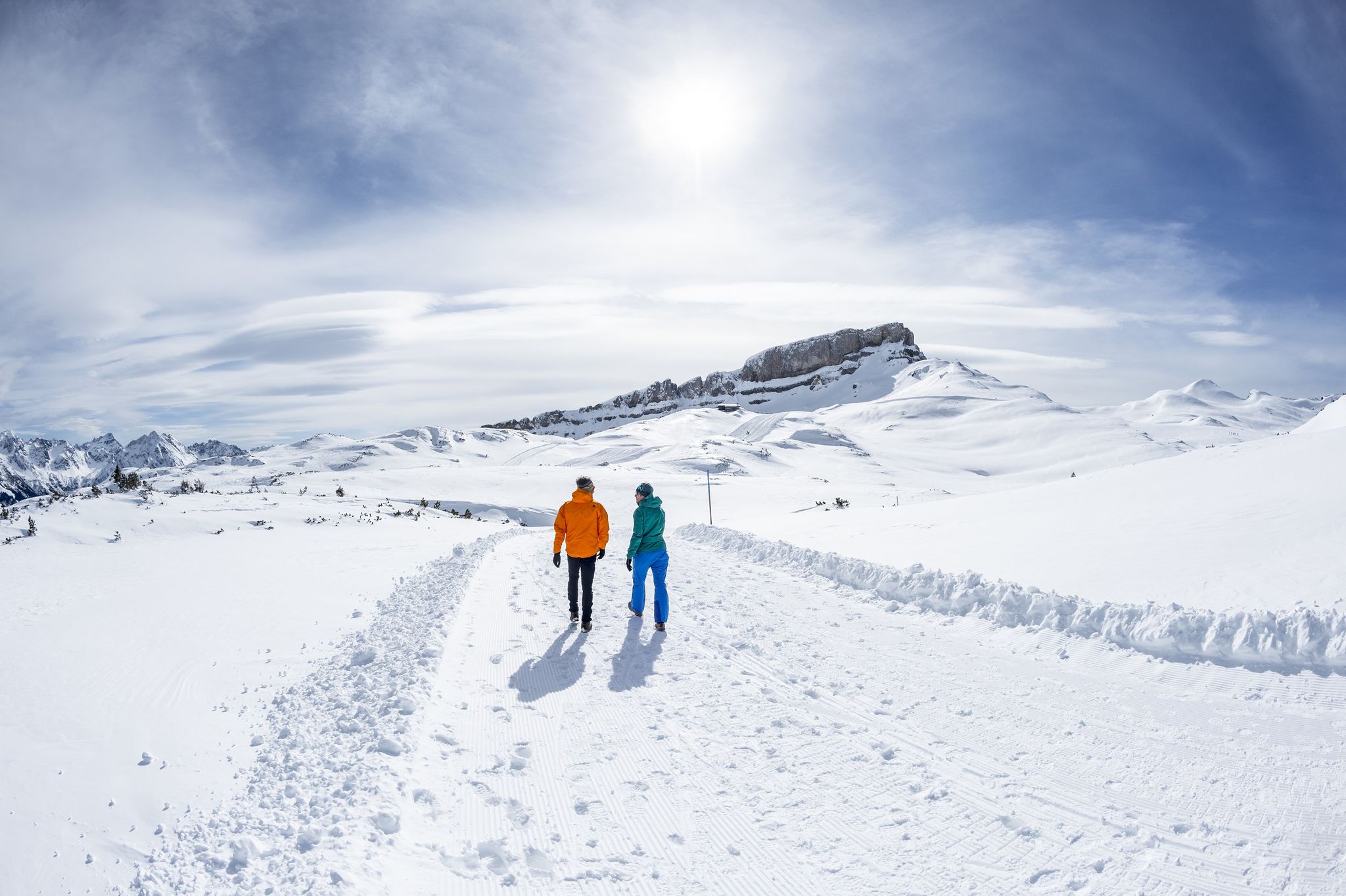
On white paths – winter hikes in Vorarlberg
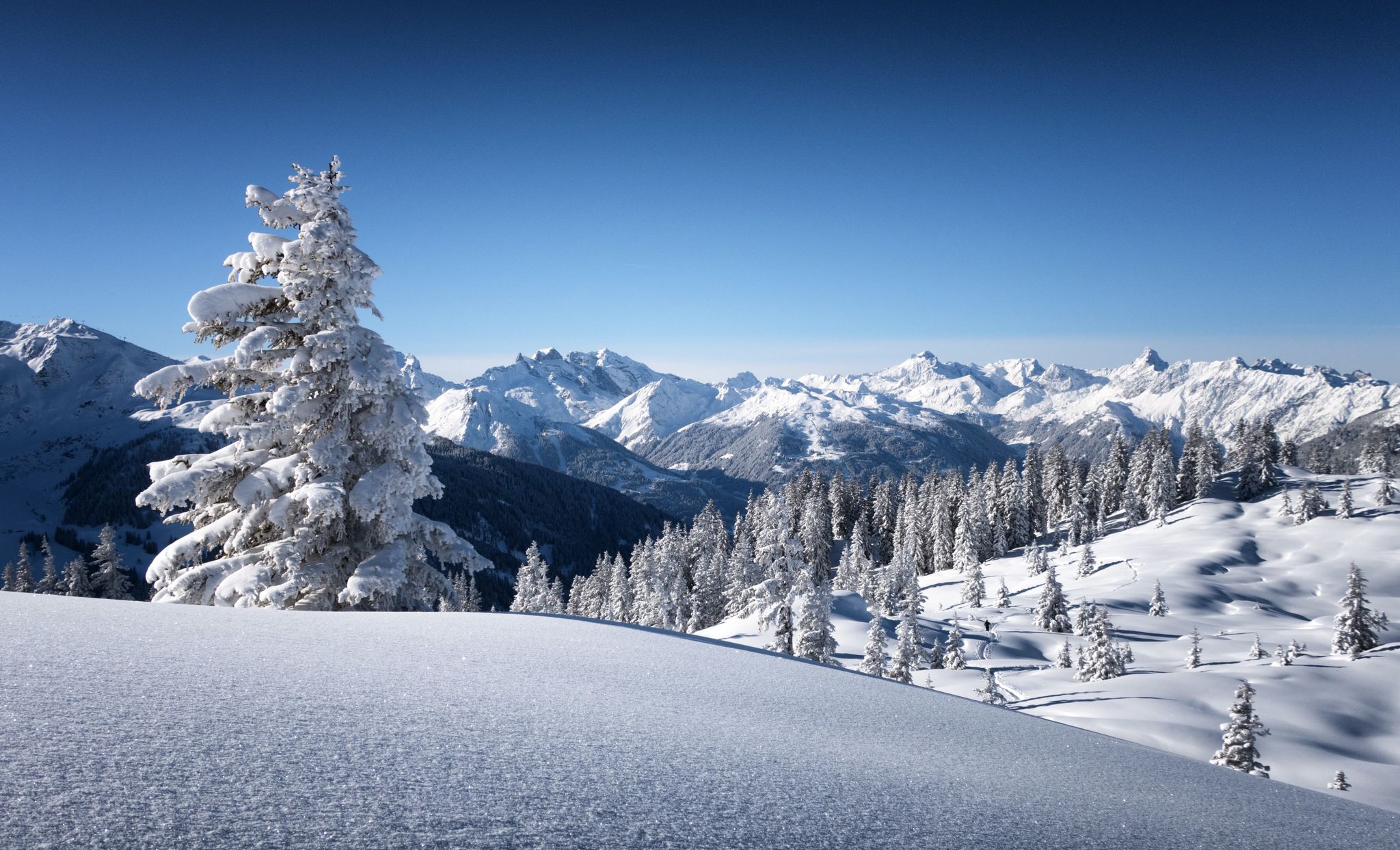
Following snow-covered trails – winter hiking in Vorarlberg
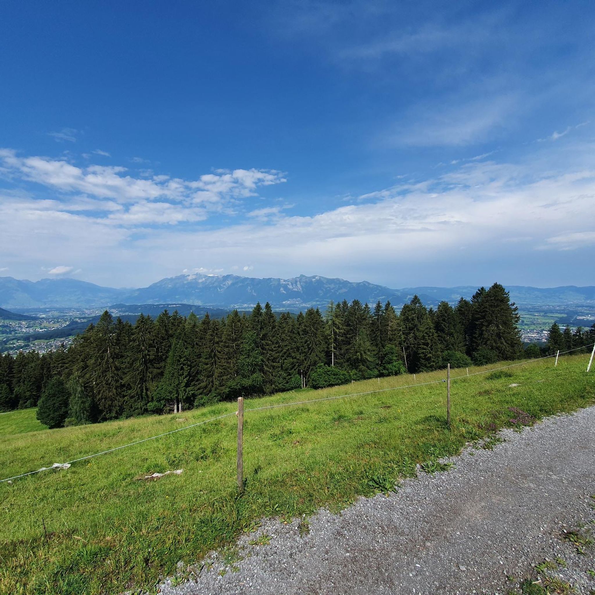
Road Cycling Routes around Übersaxen
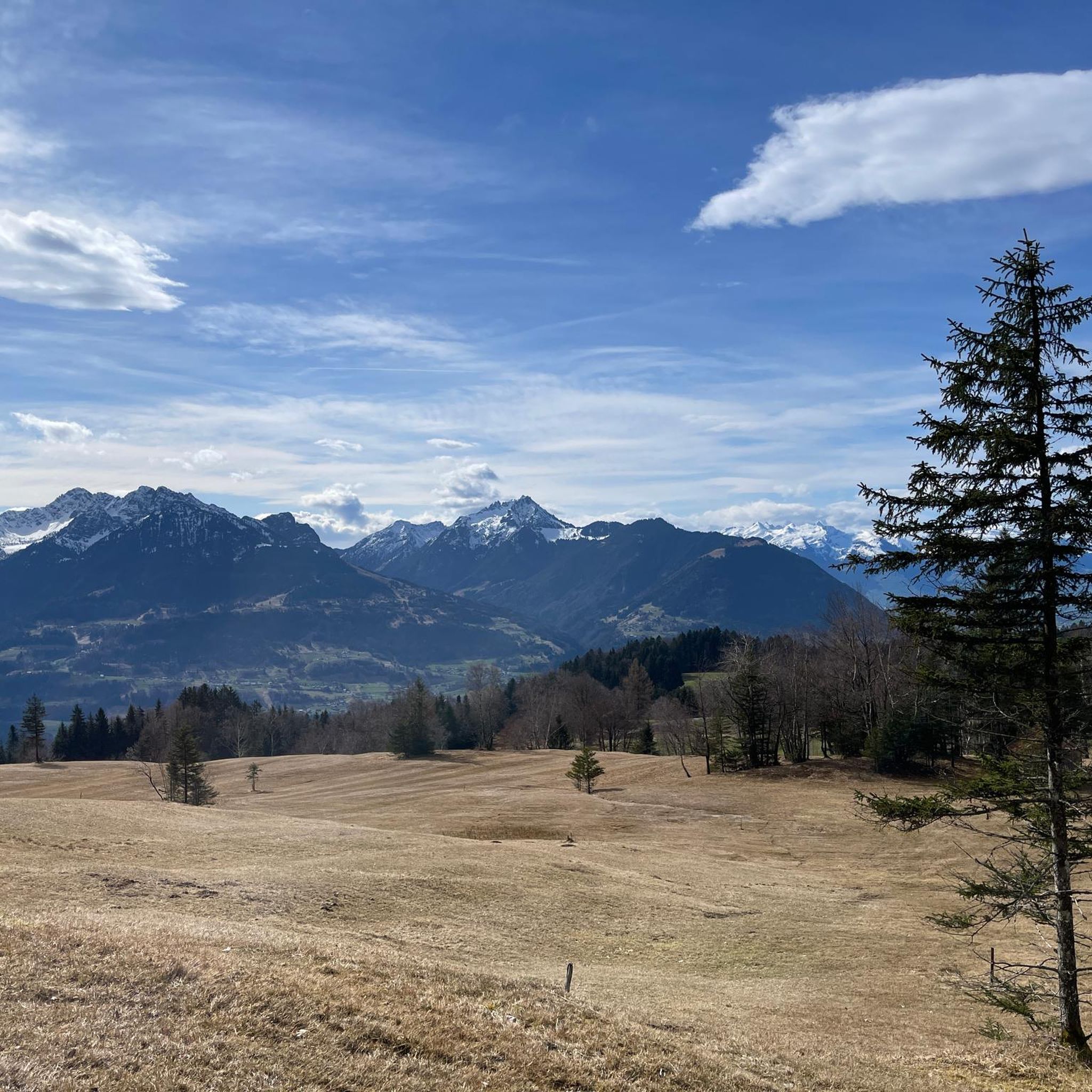
Cycling around Übersaxen
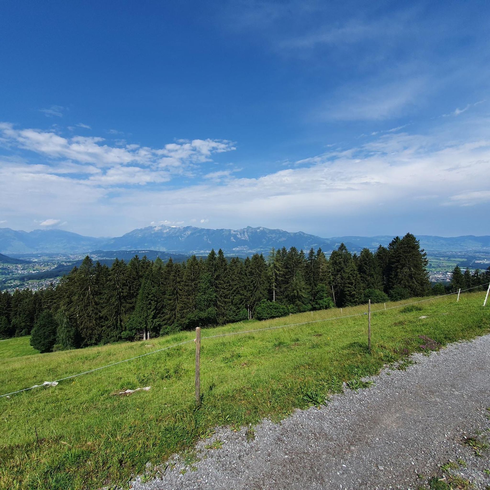
Hiking around Übersaxen
Mountain Hikes around Übersaxen

Gravel biking around Übersaxen
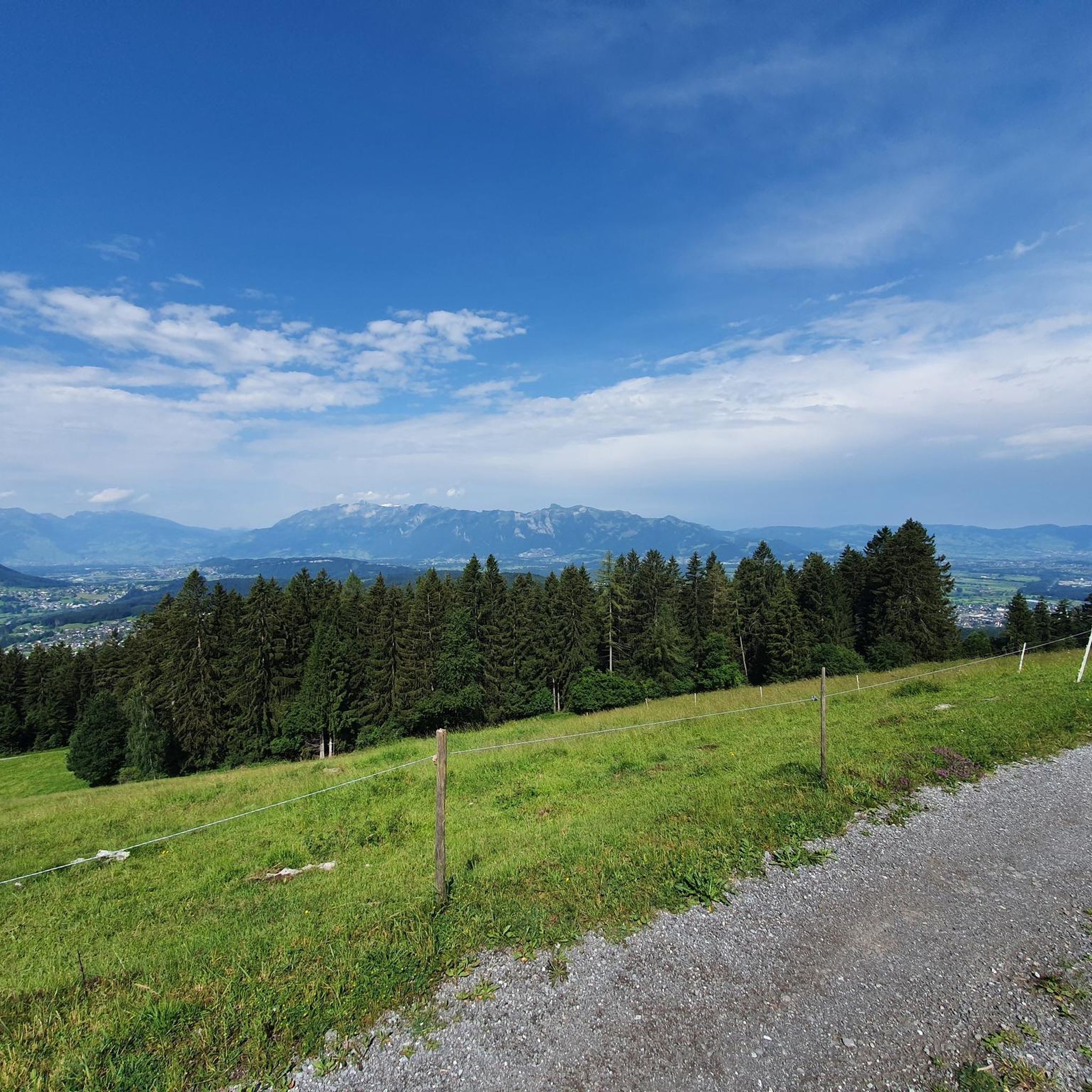
MTB Trails around Übersaxen
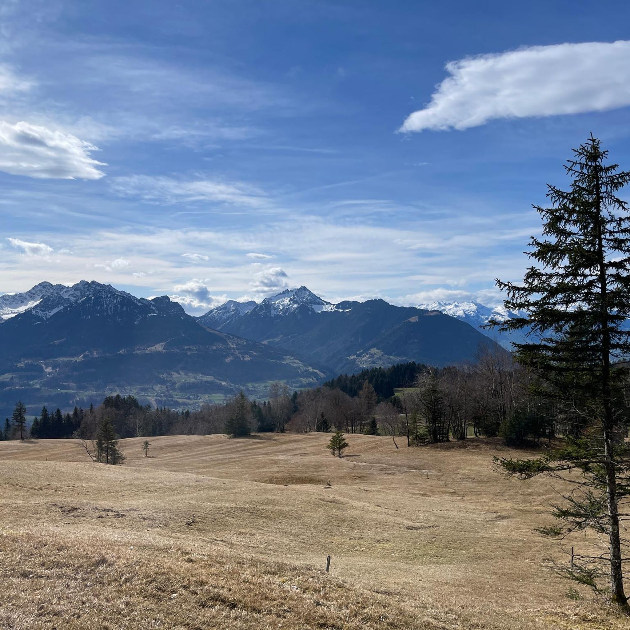
Running Trails around Übersaxen


Tips from the Community

pretty here, very pretty
3
0

The Saroja Saddle is located on the border between Liechtenstein and Austria on the northern foothills of the Three Sisters. The saddle is at 1,650 meters.
1
1

From here you can walk to the top of the moon (45 min.)
0
1

The Furkajoch connects the Laternsertal with the Bregenzerwald at an altitude of 1,761 meters. The increase is sharp on both sides, sometimes up to 14%. The Furkajoch has a winter closure, which is usually lifted around Pentecost.
1
0

Sarojasattel Border Pass (FL/A) at 1628 m Alpine area and border pass (FL/A) on the northern spur of the Dreischwestern massif. Between the Plankner Alp Gafadura and the Alp Sarjoa on the east side of the ridge (municipality of Frastanz, Vorarlberg, 1477 m a.s.l.) lies the Sarojasattel at 1628–1650 m a.s.l., extending over Planken, Eschen and Frastanz. First mentioned in 1319 (Soloyen) as a border point of a peace zone decreed by Duke Leopold of Austria. According to the Montfort-Feldkircher Urbar (1363), Walsers from "Sologen" (Saroja) paid a monetary rent, which is interpreted as an indication of settlement in the area lasting until the mid-15th century. In 1416, the Alp Saroja, then belonging to Uli Vogt, came into the possession of the municipality of Frastanz through an exchange. The Plankner secured a right of way over Saroja to their Alp Garselli. The Brandisische Urbar (around 1510) lists the Alp Saroja – although belonging to the municipality of Frastanz – among the alpine pastures of the County of Vaduz; until 1858, Vogelmolken from Saroja had to be paid to the Liechtenstein sovereign. Despite the steepness and inaccessibility of the terrain, the Sarojasattel (pass Schaan–Planken–Amerlügen–Frastanz) had a certain military significance, and in the Middle Ages, as a connection between the County of Vaduz and the County of Sonnenberg, possibly also a commercial one. In the Swabian War of 1499, Uli Mariss from Schaan is said to have led 2000 Confederates over this pass into the flank of the Austrian army, thereby enabling their victory in the Battle of Frastanz (20.4.1499). In the Coalition Wars, imperial troops fled from the French to Saroja in 1799 and built a 300 m long defensive structure (trenches) in the northern part of the pass (Frastanzeregg). Saroja was repeatedly important for smuggling and escape. Text / Qurllr: Author: Oliver Stahl | Status: 31.12.2011 file:///C:/Users/Paul%20Kaiser/Downloads/Saroja.pdf
14
1

From the Sarojasattel down with the bike by pushing feasible. Sometimes you can also drive depending on your ability.
1
0
Furkajoch 1759 m The Furkajoch is a mountain pass (pass height 1759 m above sea level, up to 14% gradient) in the Alps (Eastern Alps, Northern Limestone Alps). It connects the valley of the Bregenzer Ach (Bregenzerwald) near Damüls with the valley of the Frutz (Laternsertal) near Laterns. The Furkajoch (Italian forca 'mountain pass', name with Romansh roots) is a pass crossing with ancient but purely local significance. The pass path, which until recently was little more than a natural path, was correspondingly simply developed. Only a few years ago, a modern, narrow road was built over the Furkajoch, the state road L 51 Laternser Straße Rankweil – Laterns – Damüls. The route is popular with motorcyclists and is closed in winter. Text/Source: Wikipedia https://de.wikipedia.org/wiki/Furkajoch
8
1

Beautiful tour: family hike on the Hohe Freschen further information at: https://www.komoot.de/tour/642341743 and other tours also at: http://www.timeout-outdooractive.de/familientouren/familienreisen/familienwandel-auf-den-hohen-freschen-den-hoechsten-gipfel-im-bregenzerwald/
1
0
Frequently Asked Questions
What are some of the most recommended mountain passes or high-altitude viewpoints around Übersaxen?
While traditional mountain passes are not prominently featured directly within Übersaxen, the region offers several high-altitude paths and scenic points that provide similar experiences. Highly recommended spots include Klamparasättle, known for its scenic ascent and descent into the Brandnertal, and the Saroja Pass (Liechtenstein–Austria), an intermediate historical site on the border. The Matonajöchle offers a challenging viewpoint with a bench to enjoy the landscape. Additionally, the Panoramaweg in Übersaxen is a circular hiking trail offering expansive views of the Walgau and Rhine Valley.
Are there any mountain passes around Übersaxen with historical significance?
Yes, the Saroja Pass (Liechtenstein–Austria) is an intermediate mountain pass and a significant historical site. Located on the border between Liechtenstein and Austria at 1,650 meters, it was first mentioned in 1319 and played a role in military conflicts, such as the Swabian War of 1499, and later served as a route for smuggling and escape.
Which mountain passes or viewpoints offer the best panoramic views around Übersaxen?
For breathtaking panoramic views, the Panoramaweg in Übersaxen is highly recommended, offering sweeping vistas of the Walgau and Rhine Valley, including the Rätikon range and peaks like Drei Schwestern and Zimba. The Matonajöchle also provides a wonderful viewpoint with a bench to pause and enjoy the landscape. Further afield, the Hohe Kugel summit (1,645 m) is known for its exceptional 360-degree views across neighboring countries, and the Hoher Freschen summit cross offers extensive scenic views.
Are there family-friendly mountain passes or trails suitable for beginners near Übersaxen?
Yes, several options are suitable for families and beginners. The Klamparasättle is categorized as family-friendly, offering a scenic uphill route. The Matonajöchle, while challenging, is also listed as family-friendly, suggesting accessible sections or alternative routes. The Panoramaweg in Übersaxen, taking approximately 2 hours and 45 minutes, is a circular hiking trail that can be enjoyed by families looking for scenic views without extreme difficulty.
What is the best time of year to visit the mountain passes and trails around Übersaxen?
The best time to visit is generally from late spring to early autumn (May to October) when the weather is milder, and trails are clear of snow. Some passes, like the Furkajoch Pass, have a winter closure, usually lifted around Pentecost. During these months, you can fully enjoy the hiking and biking opportunities and the stunning panoramic views.
What kind of natural features can I expect to see on the trails around Übersaxen?
The region around Übersaxen is rich in natural beauty. On the Panoramaweg, you'll cross a unique geological boundary between the Western and Eastern Alps and pass through rich meadow biotopes. From various viewpoints, you can observe prominent peaks of the Rätikon range, the Säntis, the Alvier group, and the mountains of Brandnertal and Montafon. The area also features forests and diverse alpine flora.
Are there challenging mountain trails for experienced hikers near Übersaxen?
Yes, for experienced hikers seeking a challenge, the region offers several demanding routes. The Matonajöchle is described as a challenging viewpoint. The ascent to the Furkajoch Pass can be sharp, with gradients up to 14%. Additionally, the nearby guide Hiking around Übersaxen includes difficult routes like the 'Üble Schlucht – Waterfall in the Üble Schlucht loop'.
What outdoor activities can I do near these mountain passes?
The mountainous landscape around Übersaxen is ideal for various outdoor activities. Hiking is very popular, with numerous trails offering diverse terrain and views. You can find more hiking options in the Hiking around Übersaxen guide, including easy and moderate routes. Mountain biking is also a fantastic way to explore the area, with trails like those found in the MTB Trails around Übersaxen guide.
Are there any cafes or restaurants near the mountain passes or trailheads?
Yes, for instance, near the Furkajoch Pass, there is a small kiosk that invites visitors to linger and enjoy the view. While specific cafes directly at every trailhead might vary, the center of Übersaxen and nearby villages offer dining options. It's always a good idea to check local listings for current operating hours.
Can I find circular hiking routes that incorporate these mountain passes or viewpoints?
Yes, the Panoramaweg in Übersaxen is a notable circular hiking trail that offers extensive views and a unique geological experience. Many other hiking routes in the region are designed as loops, allowing you to start and end in the same location. For more options, you can explore the Hiking around Übersaxen guide, which features various circular routes.
What do visitors enjoy most about the mountain passes and high-altitude areas around Übersaxen?
Visitors particularly appreciate the stunning panoramic views of the Walgau, Rhine Valley, and surrounding mountain ranges. The diverse hiking terrain, from rich meadow biotopes to challenging ascents, is also a major draw. The unique geological features, such as the boundary crossed by the Panoramaweg, and the historical significance of sites like the Saroja Pass, add depth to the experience. The komoot community has upvoted these locations 297 times and shared 46 photos, showcasing their appeal.
Most popular routes around Übersaxen
Most popular attractions around Übersaxen

Get inspired with the komoot mobile app


Explore more
See even more epic mountain passes by checking out these guides around Übersaxen:
