Top 20 Mountain Passes around Großkirchheim
Best mountain passes around Großkirchheim are found in the Hohe Tauern National Park in Carinthia, Austria. This region serves as a base for exploring alpine routes. The area is characterized by its natural landscape, offering access to high-alpine roads and scenic views. It is known for its hiking trails and waterfalls, situated within a large conservation area.
Best mountain passes around Großkirchheim
- The most popular mountain pass is Hochtor Pass (Großglockner High Alpine Road), a mountain pass that is…
Last updated: September 27, 2026
Hochtor Pass and Tunnel
Highlight • Mountain Pass
Translated by Google •
Tip by

Nassfeld Plateau (Sportgastein)
Highlight • Natural
Translated by Google •
Tip by

Sign up now to discover places like this
Get recommendations on the best single tracks, peaks, & plenty of other exciting outdoor places.
Hornscharte
Highlight • Mountain Pass
Showing Translation
Tip by

View of the Großglockner
Highlight • Viewpoint
A worthwhile summit, Austria's highest mountain, not for everyday hikers!
Translated by Google •
Tip by

Wallackhaus
Highlight • Mountain Hut
Translated by Google •
Tip by

Sign up for free to discover even more mountain passes around Großkirchheim.
Already have an account?
Start today with a free account
Your next adventure awaits.
Popular around Großkirchheim
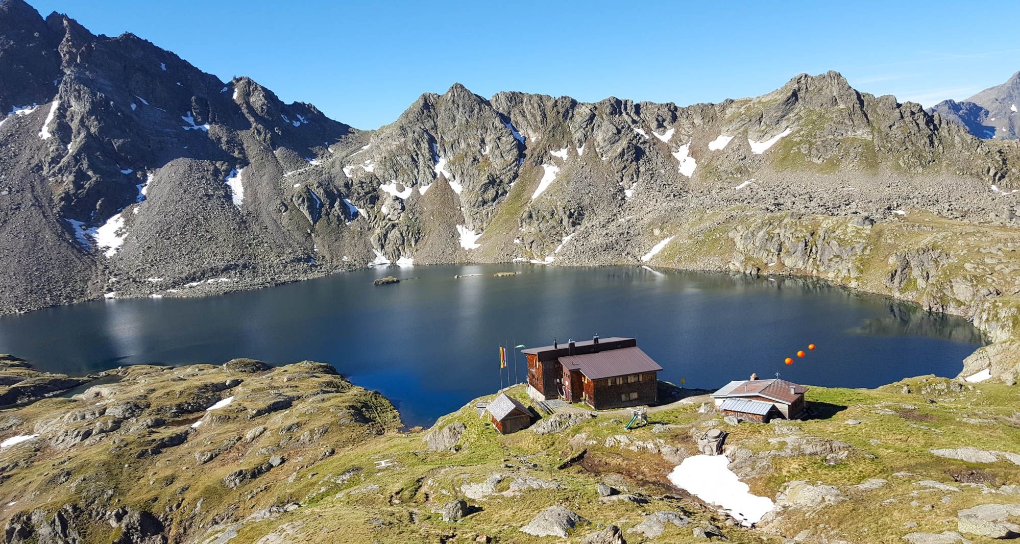
Wiener Höhenweg in Austria – 6 stages in the Schober Group

Alpe-Adria-Trail: My long-distance hike from the glacier to the sea
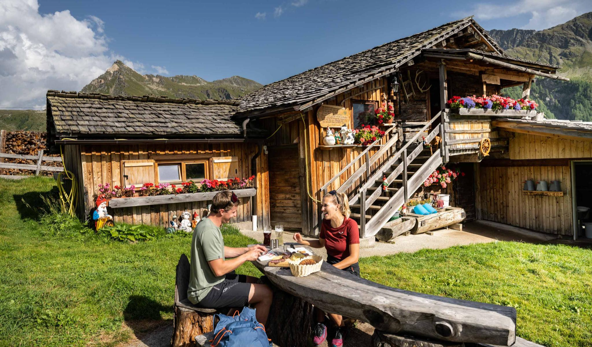
Peak happiness – hut hikes in the High Tauern
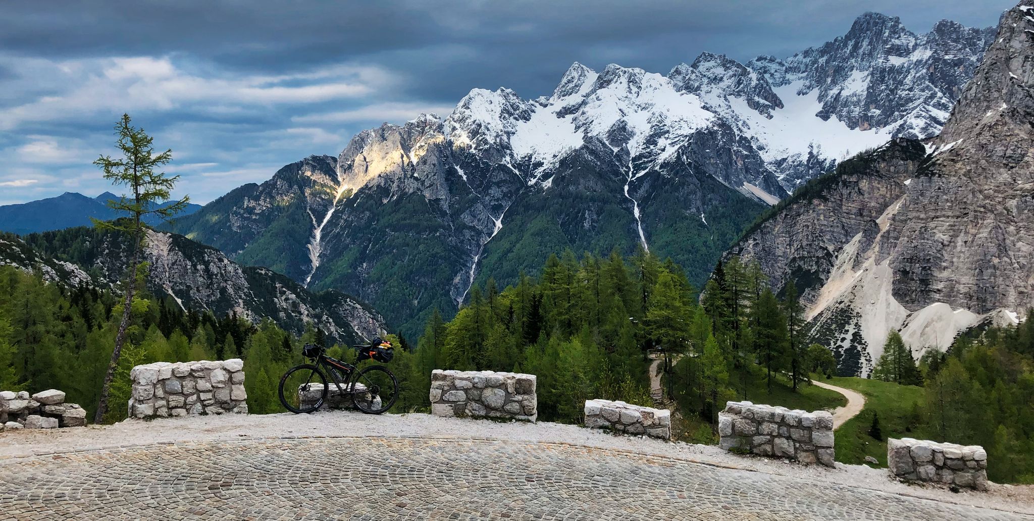
My first bikepacking trip – four countries, joys and mistakes

An alpine adventure – from east to west through Austria

From the Grossglockner to the sea on the Alpe Adria Trail
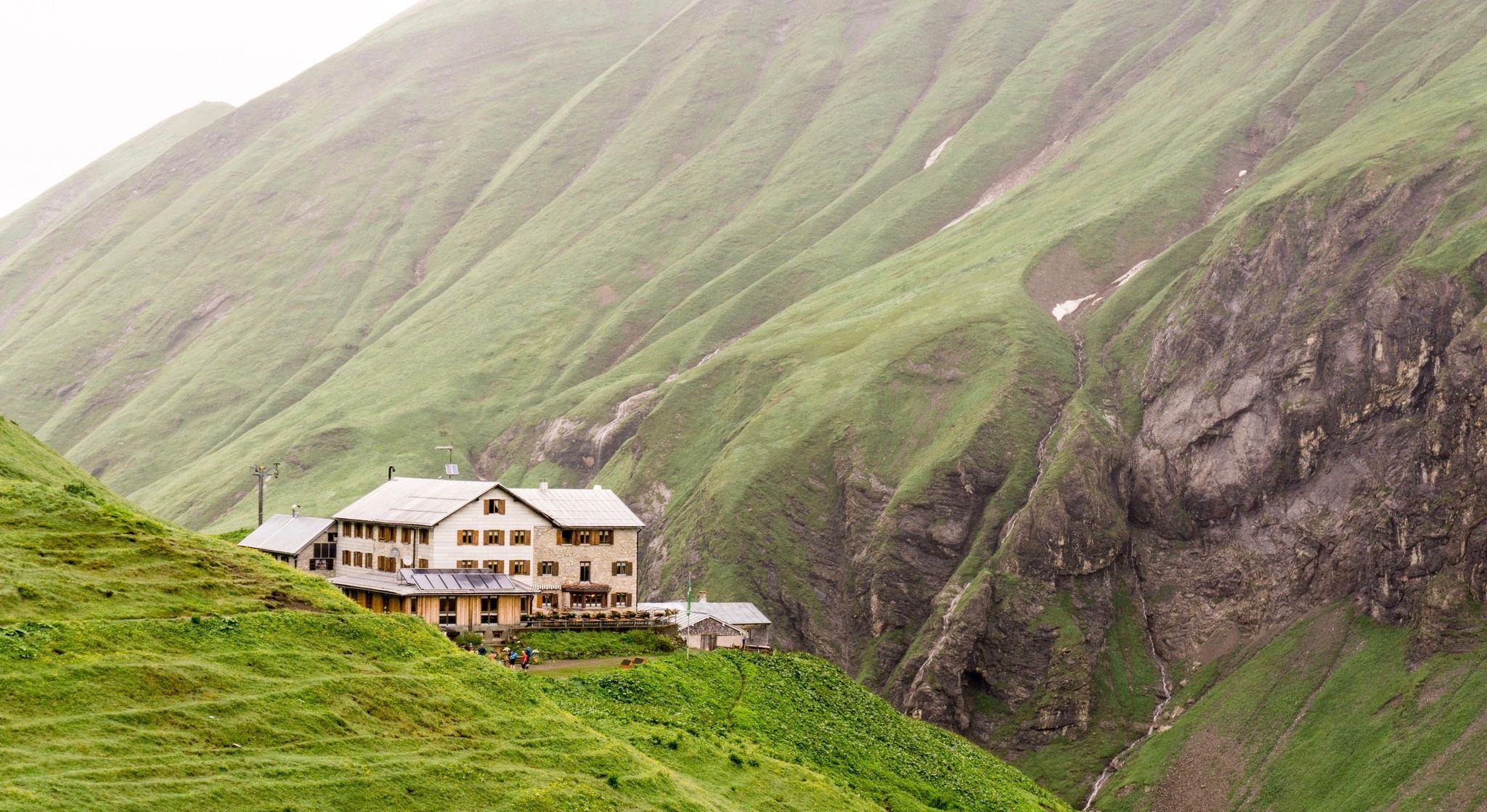
Huts for romantic getaways
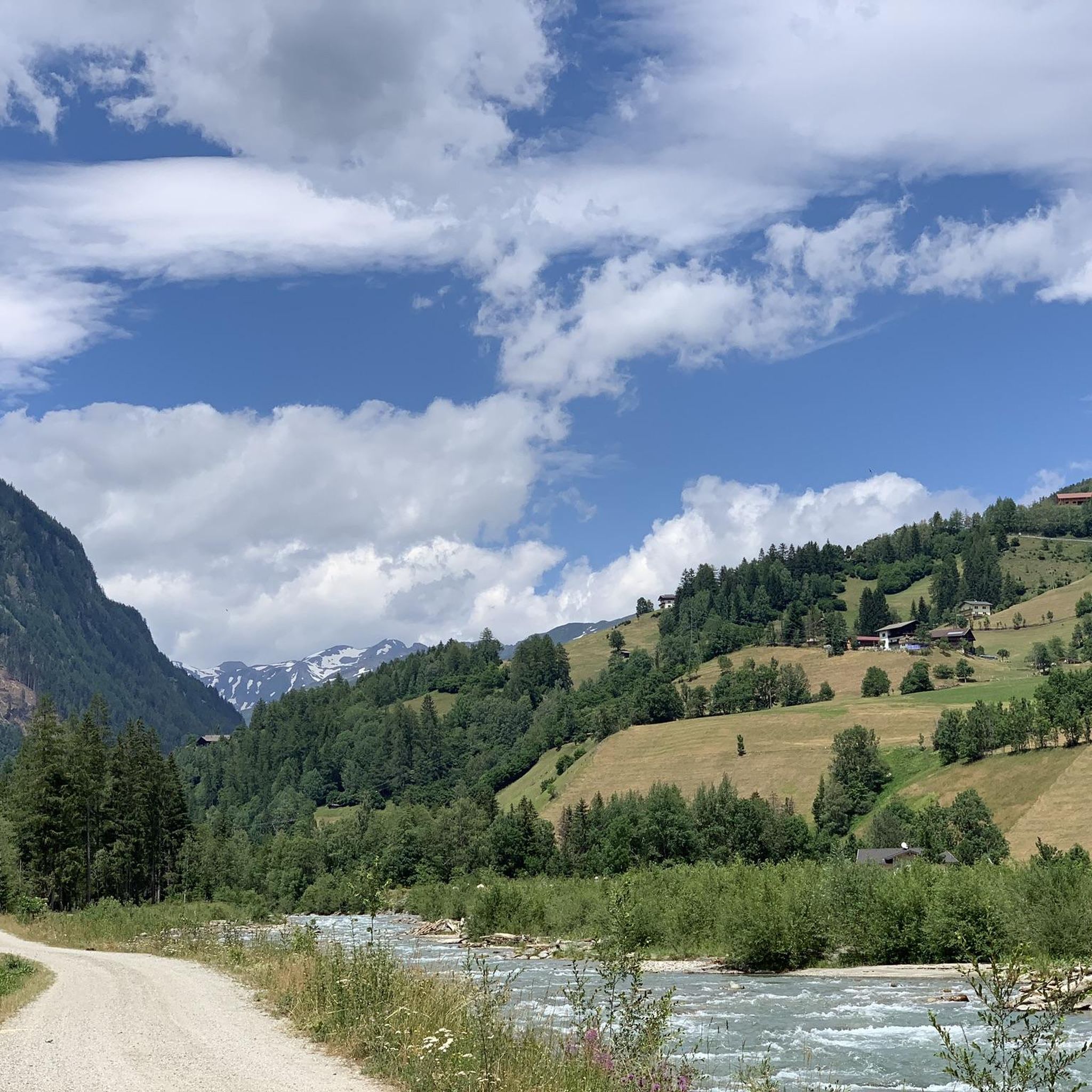
Hiking around Großkirchheim
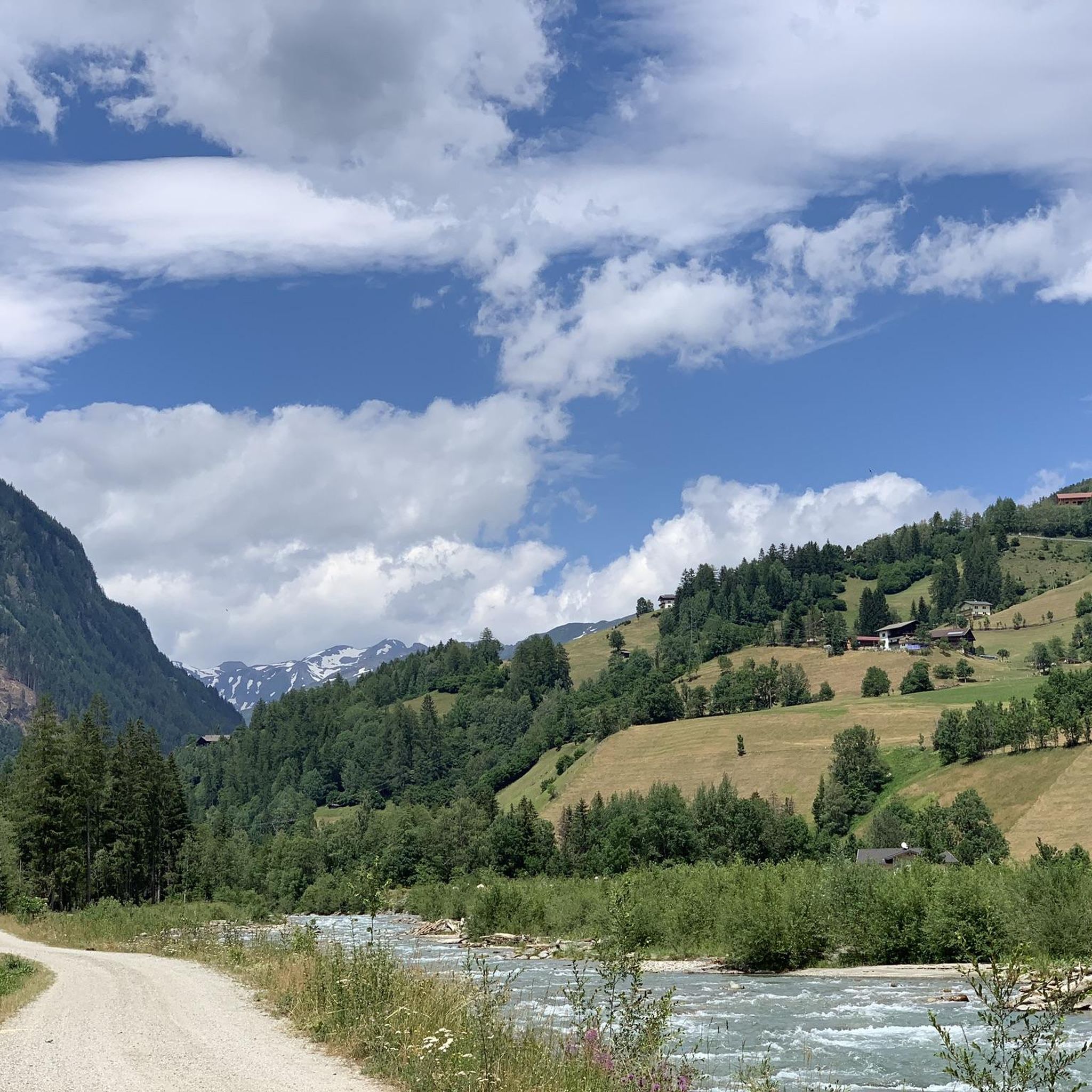
Road Cycling Routes around Großkirchheim
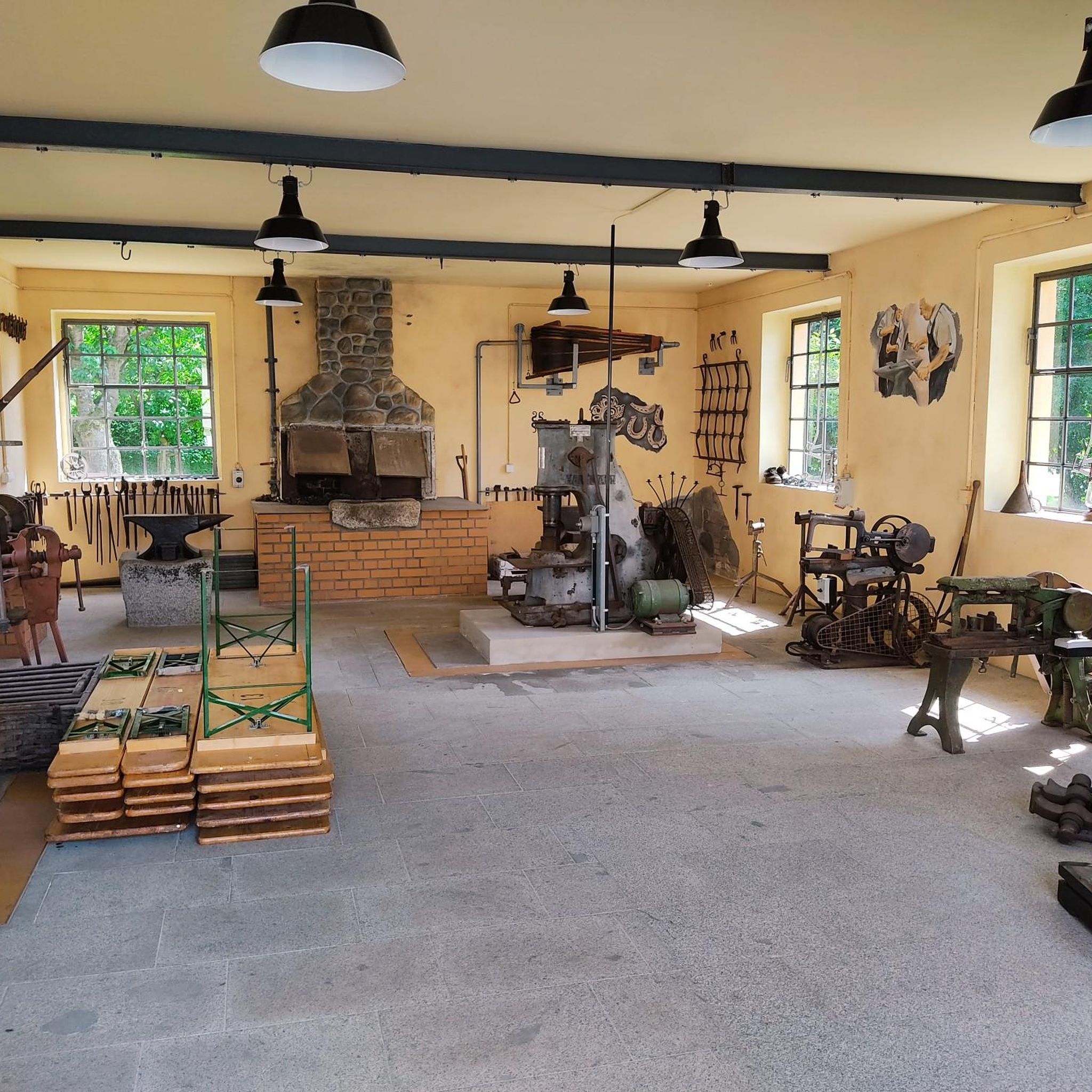
Mountain Hikes around Großkirchheim
Other adventures around Großkirchheim


Tips from the Community

Here, humans become small again and aware of their transience! Simply a dream spot!🤗
0
0

Via ferrata set: If you have it with you, definitely safer than without.. The Hornscharte is a 2,958-meter-high mountain pass in the Schober group of the Hohe Tauern in Carinthia, Austria. It forms the challenging key section of the Wiener Höhenweg and connects the Adolf-Noßberger-Hütte with the Elberfelder Hütte as an alpine trail. Considered technically and physically demanding. Protection: Secured with steel ropes in the upper, exposed section (via ferrata difficulty A/B). Terrain: Steep ascent through a north-facing cirque with loose scree, debris, and boulders. View: First view of the Großglockner from the notch. Note: Sure-footedness, a head for heights, and alpine experience are absolutely essential. The risk increases significantly if there is snow or ice on the ropes.
0
0
The Hornscharte is a 2,958-meter-high mountain pass in the Schober group of the Hohe Tauern in Carinthia, Austria. It forms the challenging key section of the Wiener Höhenweg and, as an alpine trail, connects the Adolf-Noßberger-Hütte with the Elberfelder Hütte. Considered technically and physically demanding. Protection: Secured with steel cables in the upper, exposed section (via ferrata difficulty A/B). Terrain: Steep ascent through a north-facing cirque with loose scree, rubble, and boulders. View: First view of the Großglockner from the saddle. Note: Sure-footedness, a head for heights, and alpine experience are essential. The risk increases significantly in case of snow or ice on the cables. Via ferrata set: If you have it with you, definitely safer than without..
1
0

Always a great subject - especially from the Glocknerwinkel region
0
0

What a struggle to get up here, but the joy is even greater when you have made it and are standing at the top of the pass. Great panorama.
0
1
the Glocknerwinkel is a beautiful place
1
0

Immer wieder der Blick hoch zum Großglockner auf 3.796 HM
3
0

The Wallackhaus is a 2304 m above sea level. A. Mountain inn on Großglocknerstrasse in the Austrian state of Carinthia. Immediately to the east is the Großglockner – Heiligenblut ski area. The Wallackhaus was built in 1930 from a canteen for the construction workers on Großglocknerstrasse, south below the tunnel on the Hochtorpass. The house was named after the engineer Franz Wallack, who was responsible for planning the street. Source: Wikipedia
1
0
Frequently Asked Questions
What are some of the most popular mountain passes near Großkirchheim?
The region around Großkirchheim, nestled in the Hohe Tauern National Park, offers several iconic mountain passes. Among the most popular are the Hochtor Pass (Großglockner High Alpine Road), which is the highest point on the famous Grossglockner High Alpine Road, and Peischlachtörl, a significant alpine crossing at almost 2500 meters. Visitors also appreciate the Nassfeld Plateau (Sportgastein), known for its idyllic hiking opportunities.
When is the best time to visit the mountain passes around Großkirchheim?
The prime season for visiting most mountain passes in the Hohe Tauern region is generally from early May to November. For instance, the Grossglockner High Alpine Road is typically open during this period. During these months, you can enjoy the full splendor of the alpine scenery and participate in various outdoor activities.
What kind of natural features can I expect to see on these mountain passes?
You can expect breathtaking high-alpine scenery, including rugged peaks, expansive views of 3,000-meter mountains, and diverse alpine flora and fauna. Passes like the Grossglockner High Alpine Road offer panoramic vistas, while others like Klammljoch Pass are recognized as natural monuments for their dramatic landscapes. The Nassfeld Plateau (Sportgastein) also features elements like lakes and meadows.
Are there opportunities for hiking near the mountain passes around Großkirchheim?
Yes, the area is excellent for hiking. Many mountain passes serve as starting points or stopovers for various tours. For example, the Peischlachtörl is a stopover for several tours. You can find a variety of trails, from easy waterfall hikes to challenging mountain ascents. Explore more options in the Mountain Hikes around Großkirchheim guide or the Waterfall hikes around Großkirchheim guide.
Can I go cycling or mountain biking on these passes?
Absolutely. Many passes, including the Grossglockner High Alpine Road and Staller Sattel, are popular among cyclists and motorcyclists due to their winding nature and scenic beauty. The Grossglockner High Alpine Road, in particular, offers a challenging climb with excellent road surfaces. For more advanced routes, check out the MTB Trails around Großkirchheim guide, which includes routes like the ascent to Franz-Josefs-Höhe.
What makes the Grossglockner High Alpine Road so special?
The Grossglockner High Alpine Road is often called the 'queen of pass roads' for good reason. It's one of Europe's most spectacular panoramic routes, featuring 36 hairpin bends and offering stunning views of Austria's highest mountain, the Grossglockner. Along the route, you'll find twelve experience worlds, including the Hochtor (2,504 m) and the Edelweissspitze summit, providing panoramic views of over thirty 3,000-meter peaks.
Are there any less challenging or more tranquil mountain passes to visit?
Yes, if you're looking for a more tranquil or less challenging experience, the Staller Sattel (Passo Stalle) offers a picturesque and intimate alpine journey connecting Austria and Italy. The Katschberg Pass also provides a historical route with a less demanding driving experience compared to the Grossglockner, while still offering beautiful alpine scenery.
Are there facilities like cafes or shops available on the mountain passes?
On some of the more developed passes, you will find facilities. For example, at the Hochtor Pass (Großglockner High Alpine Road), there are toilets and a small shop. The Nassfeld Plateau (Sportgastein) also has several restaurants or huts. For more remote passes like Peischlachtörl, you might find a small emergency shelter.
What do visitors enjoy most about the mountain passes around Großkirchheim?
Visitors frequently praise the magnificent views, the well-developed routes, and the sublime feeling of driving or cycling through the high alpine landscape. The opportunity to witness diverse scenery, from rugged peaks to alpine flora, and the thrill of navigating hairpin bends are often highlighted. The region's natural beauty and the sense of accomplishment after reaching a pass are also highly valued.
Can I find circular hiking routes that incorporate these mountain passes?
Yes, the region offers various circular hiking routes. For instance, within the Mountain Hikes around Großkirchheim guide, you can find loop routes such as 'Lienzer Hütte – Glödis Summit (3,206 m) loop from Seichenbrunn' or 'Kreuzsee and Wangenitzsee – Wangenitzsee Hut loop from Seichenbrunn', which allow you to experience the alpine environment comprehensively.
Are there any historical aspects to these mountain passes?
Yes, some passes have historical significance. The Katschberg Pass, for example, is a historical route that has connected important towns in the region for centuries. While the primary draw is often natural beauty, these passes have played a role in regional history and connectivity.
Most popular routes around Großkirchheim
Most popular attractions around Großkirchheim

Get inspired with the komoot mobile app


Explore more
See even more epic mountain passes by checking out these guides around Großkirchheim:
