Top 20 Natural Monuments around Zerzabelshofer Forst
Best natural monuments around Zerzabelshofer Forst are situated within a forested landscape, forming part of the Lorenzer Reichswald. This area is recognized for its recreational opportunities and ecological significance, including a landscape protection area and an EU bird sanctuary. The terrain features geological formations such as the Schmausenbuck Ridge and various spring-fed streams. It serves as a destination for outdoor recreation.
Best natural monuments around Zerzabelshofer Forst
- The most popular natural monuments is Wöhrder Lake, a lake that serves…
Last updated: July 8, 2026
Wöhrder Lake
Highlight • Lake
Translated by Google •
Tip by

Along the Pegnitz River
Highlight (Segment) • River
Translated by Google •
Tip by

Sign up now to discover places like this
Get recommendations on the best single tracks, peaks, & plenty of other exciting outdoor places.
Sign up for free
Bitterbach Gorge
Highlight (Segment) • Gorge
Translated by Google •
Tip by

Klingender Waterfall
Highlight • Waterfall
Translated by Google •
Tip by

Röthenbach Gorge
Highlight • Gorge
Attention: At times there are a lot of mountain bikers on the way.
Translated by Google •
Tip by

Sign up for free to discover even more natural monuments around Zerzabelshofer Forst.
Sign up for free
Already have an account?
Start today with a free account
Your next adventure awaits.
Login or Signup
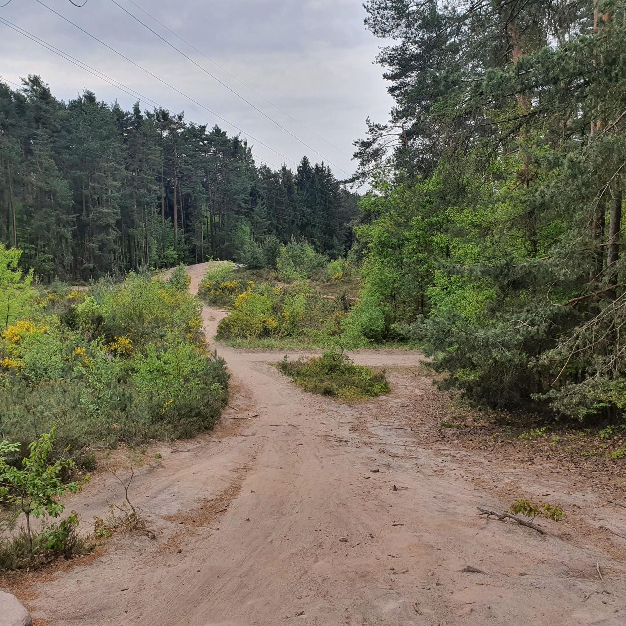
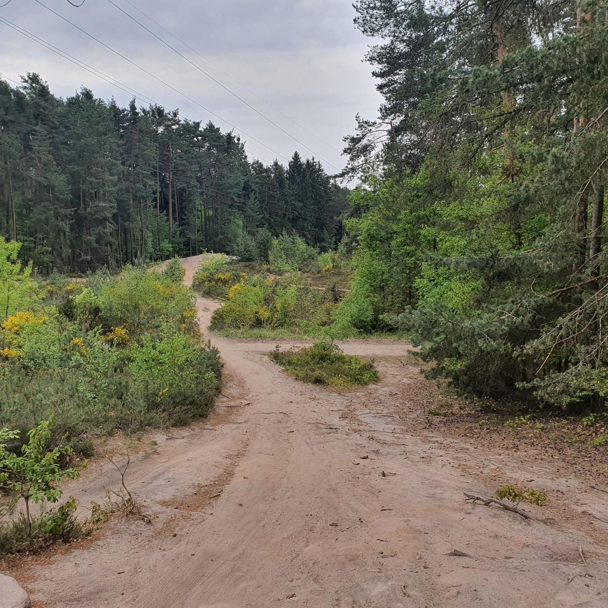
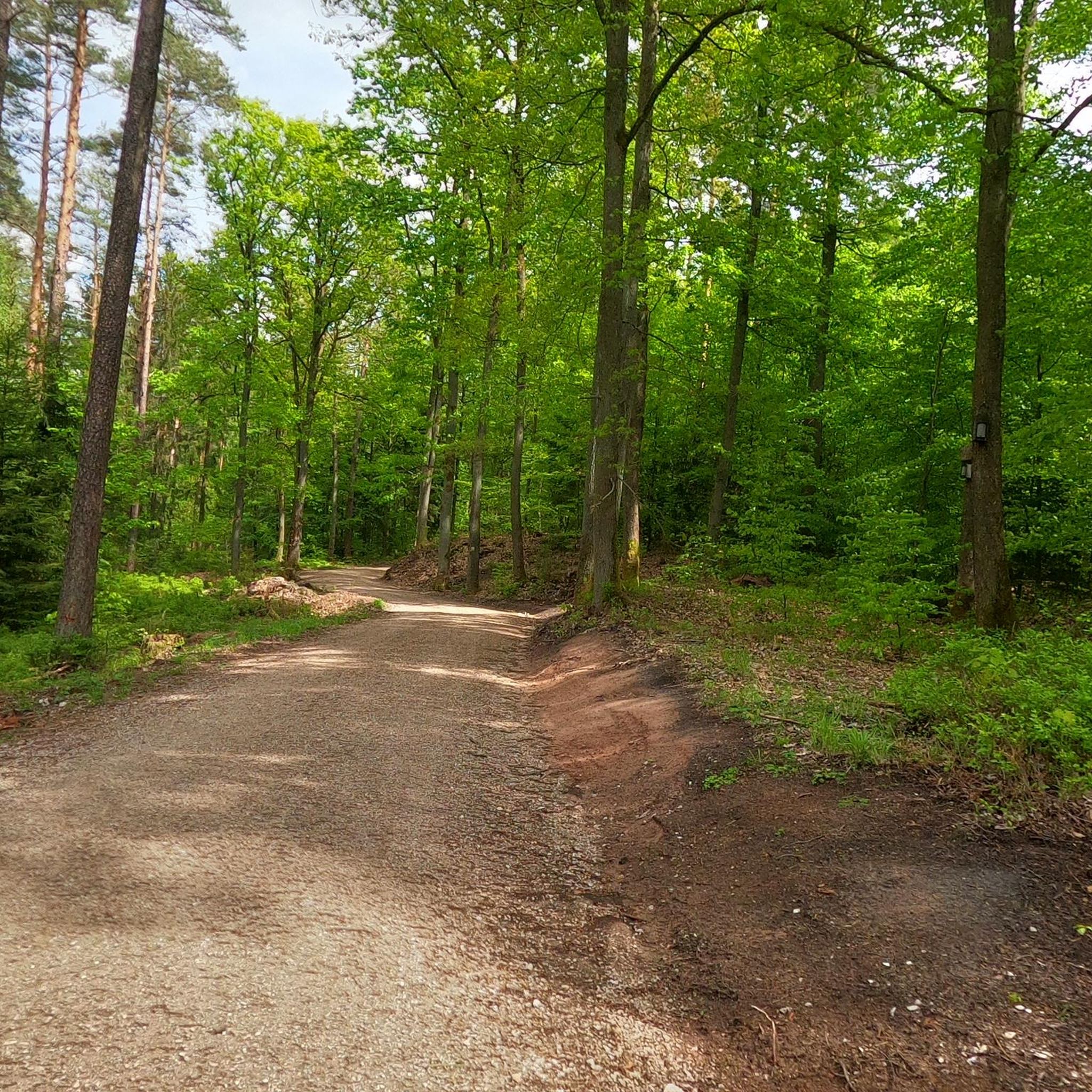
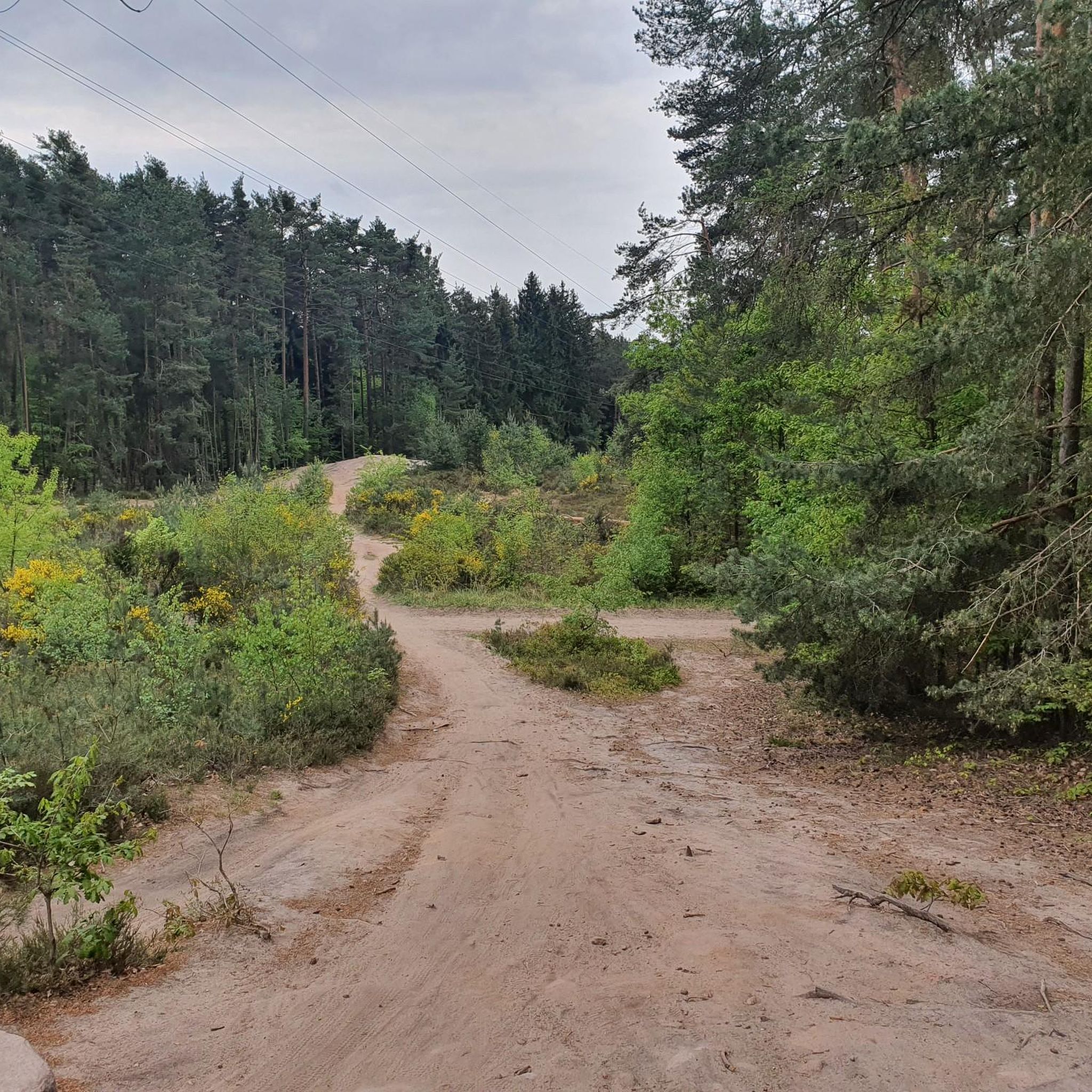
Tips from the Community

Wöhrder See, Nuremberg Wöhrder See, the youngest of Nuremberg's waterways, is a popular local recreation area in the heart of the city, providing a natural habitat for endangered species. It is not a natural lake, but was created by damming the Pegnitz River, which flows through it. The idea for an inner-city lake existed as early as the 1930s. The project was approved for implementation in October 1959. In addition to the City of Nuremberg, the State Water Management Authority and the Middle Franconia District were involved in the planning and construction. Recreational concerns were not the only priority in the design. The lake is also part of the extensive flood protection measures after the Second World War. Construction work began in 1968 with the Lower Wöhrder See and continued until 1972. The sand trap above the waterway was built between 1972 and 1975. The final construction phase of the Upper Wöhrder Lake was completed in 1981. Text / Source: Nürnberg Infos.de / Nürnberger Nachrichten https://nuernberginfos.de/gewaesser-nuernberg/woehrder-see.php
15
0

A walk around the lake can be a lovely family walk. A total of 6.5 km with no elevation gain and a lovely, varied route.
18
0

In the small but wildly romantic gorge, the Röthenbach flows over a length of around 300 meters, partly between heavily weathered sandstone rock formations up to five meters high. At the entrance to the gorge, close to the town of Röthenbach, the stream has created a small waterfall; The river drops three meters over two small steps. In the subsequent rock sections, impressive erosion, smaller caves and weathering can be found, and further along there are also remains of previous rock falls. The sandstone banks of the upper Keuper can be clearly seen on the impact slopes and other outcrops. In the wide Kerbsohlental below the gorge, the stream then meanders in wide arcs. Source: Wikipedia
8
0
The Rumpelbachschlucht is a small sandstone gorge in Middle Franconia (Bavaria) in the Altdorf district of Röthenbach. It is also called Röthenbachklamm after the Röthenbach, which flows into the Pegnitz near the town of Röthenbach and has a rocky notch on its upper reaches. n the small but wildly romantic gorge, the Röthenbach flows over a length of around 300 meters, partly between heavily weathered sandstone rock formations up to five meters high. At the entrance to the gorge, close to the town of Röthenbach, the stream has created a small waterfall; The river drops three meters over two small steps. In the subsequent rock sections, impressive erosion, smaller caves and weathering can be found, and further along there are also remains of previous rock falls. The sandstone banks of the upper Keuper can be clearly seen on the impact slopes and other outcrops. In the wide Kerbsohlental below the gorge, the stream then meanders in wide arcs. Source: Wikipedia
8
0

Always fascinating, sometimes more, sometimes less water and again completely different when you walk along the stream bed in dry weather
8
0

In 1959 the Nuremberg city council decided to create the Wöhrder See. It was completed in 1981. Before that, the Pegnitz flowed through a floodplain in two arms, which was often flooded. In addition to the flood exposure of Nuremberg's old town, a much-used recreational area was created with the Wöhrder See and the bomb crater landscape in the Pegnitzwiesen, which the Second World War had left behind, was eliminated. (https://de.wikipedia.org/wiki/W%C3%B6hrder_See)
12
0

very nice lake with a very nice stretch of beach
9
0

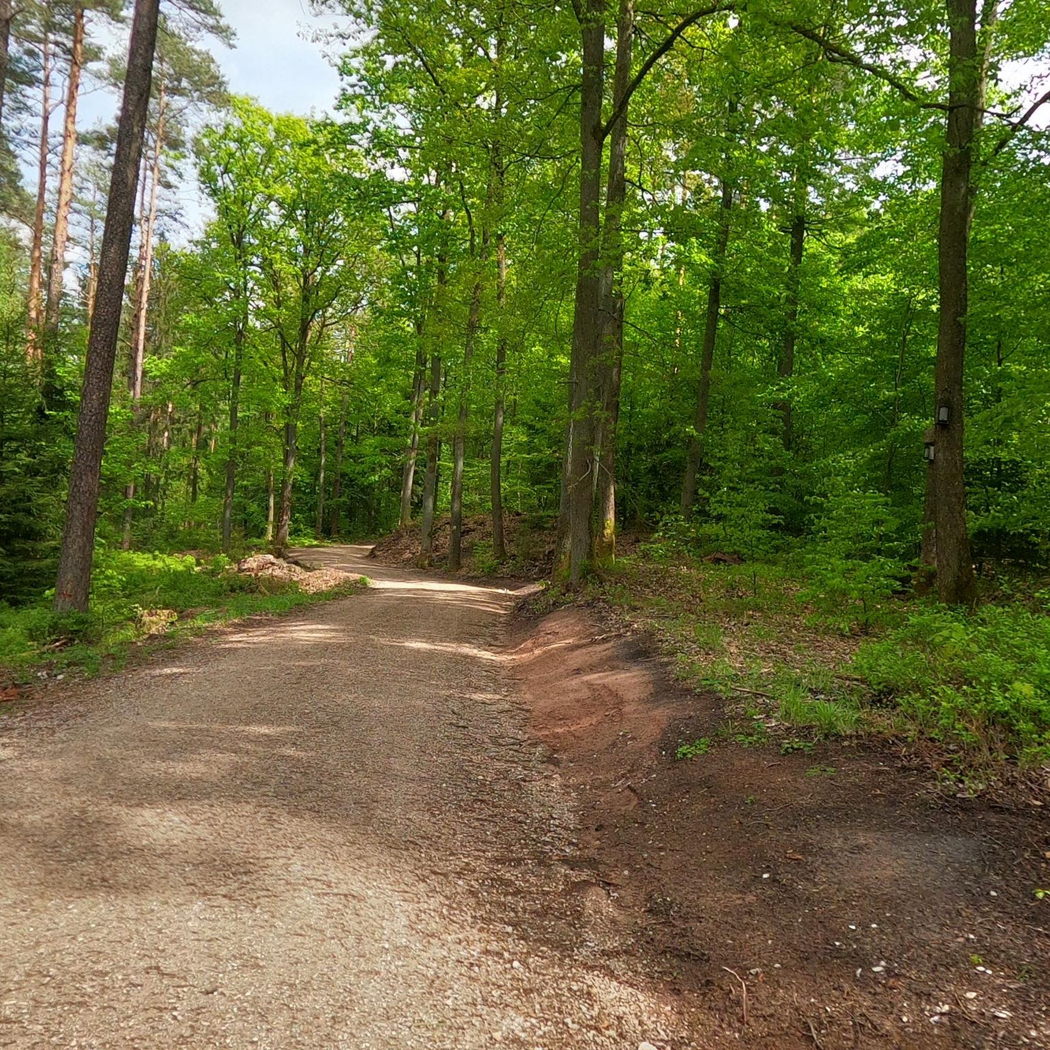
Beautifully shady paths lead through the gorge.
9
0
Frequently Asked Questions
What natural features define the Zerzabelshofer Forst area?
The Zerzabelshofer Forst is primarily characterized by its extensive forested landscape, forming part of the Lorenzer Reichswald. Key natural features include the Schmausenbuck Ridge, an elevated area with former sandstone quarries that reveal the region's geological history, and various spring-fed streams that contribute to the local ecosystem. The area is also recognized for its ecological significance as a landscape protection area and an EU bird sanctuary.
What are some of the most popular natural monuments to visit?
Visitors frequently enjoy the Wöhrder Lake, a popular local recreation area with a 6.5 km walking route. The Röthenbach Gorge is another favorite, offering a scenic hiking route along a stream with many bridges and bends. Additionally, the Bitterbach Gorge, cut into the Burgsandstein, is appreciated for its seasonal changes.
Are there any historical natural sites in Zerzabelshofer Forst?
Yes, the Buchenklinge is a notable site with a natural connection and historical significance. Located on the northeast slope of the Klingenberg, this stone-lined spring has mentions dating back to 1372 and served as a resting place for quarry workers and hikers. While officially an architectural monument due to its historical setting, it highlights the natural water sources within the forest and its past use.
What kind of terrain can I expect when exploring the natural monuments?
The terrain around Zerzabelshofer Forst is varied. You can expect mostly forested paths, with some areas featuring the geological formations of the Schmausenbuck Ridge, including former sandstone quarries. While many paths are suitable for walking, some gorges like the Klingender Waterfall and Bitterbach Gorge may present intermediate or challenging sections due to their natural, uneven ground.
Are there family-friendly natural monuments around Zerzabelshofer Forst?
Absolutely. The Wöhrder Lake is highly recommended for families, offering a flat 6.5 km walk. The path Along the Pegnitz River is also family-friendly, with beautiful paths directly along the riverbanks. Even the Klingender Waterfall is considered family-friendly, offering a rewarding natural sight.
What is the best time of year to visit the natural monuments in Zerzabelshofer Forst?
The natural monuments in Zerzabelshofer Forst offer different experiences throughout the year. Spring is ideal for seeing the Bitterbach Gorge with flowing water after the snowmelt. Summer provides shady relief in gorges like Röthenbach Gorge. The Klingender Waterfall is particularly worth seeing in winter when it's frozen. Generally, the forest is a popular destination in every season for its diverse environment.
What outdoor activities can I do near the natural monuments in Zerzabelshofer Forst?
The area around Zerzabelshofer Forst is excellent for various outdoor activities. You can find numerous routes for cycling, mountain biking, and running. The forest is crisscrossed with paths perfect for walking and hiking, allowing you to explore the diverse natural environment and spring-fed streams.
Are there specific hiking trails recommended for exploring the natural monuments?
Yes, several trails allow you to experience the natural monuments. The Röthenbach Gorge offers a fantastic hiking trail along the stream, noted for its bridges and bends. For a longer run, consider the 'Pegnitz Valley East Nature Reserve – Along the Pegnitz River' route, which is about 9.3 km. Many other routes are available for different sports and difficulties, which you can explore in the running, cycling, and MTB guides.
What do visitors particularly enjoy about the natural monuments here?
Visitors appreciate the opportunity to enjoy nature without traveling far. The Wöhrder Lake is loved for being a versatile recreational area suitable for walks, sports, or family fun. The gorges, such as Bitterbach Gorge and Röthenbach Gorge, are praised for their scenic beauty, shady paths, and the unique experience of walking along streams, often described as feeling like a 'jungle'.
Is the Zerzabelshofer Forst area suitable for dog walking?
Yes, the Zerzabelshofer Forst is a popular area for dog walking. The numerous paths and forest environment provide ample space for dogs to explore. The Wöhrder Lake also offers a pleasant walk that many dog owners enjoy. Always ensure your dog is under control and follow local regulations regarding leashes.
Are there any viewpoints or elevated areas to get a good overview of the natural landscape?
The Schmausenbuck Ridge includes the Klingenberg, which is the highest point in the area at 379 meters above sea level. While not explicitly listed as a viewpoint highlight, this elevated area offers insights into the region's geology and provides varied terrain for exploration, potentially offering glimpses over the forest canopy. The Bitterbach Gorge and Röthenbach Gorge also offer scenic views within their respective natural settings.
Most popular routes around Zerzabelshofer Forst
Most popular attractions around Zerzabelshofer Forst

Get inspired with the komoot mobile app


Explore more
Extend your search for the best caves by checking out these guides of the top ones around Zerzabelshofer Forst:
