Top 20 Natural Monuments around Oberderdingen
Best natural monuments around Oberderdingen are found in a diverse natural landscape, nestled between the Kraichgau and Stromberg regions. The area features vineyards, fruit trees, and fields, making it a destination for nature enthusiasts. Oberderdingen is home to 19 officially designated natural monuments, including 9 area-based and 10 individual protected objects. These sites highlight the region's commitment to preserving its natural heritage.
Best natural monuments around Oberderdingen
- The most popular natural monuments is Katzenbachsee, a lake that is a…
Last updated: July 8, 2026
Ehmetsklinge Reservoir
Highlight • Lake
Translated by Google •
Tip by

West shore of Aalkistensee
Highlight • Lake
Translated by Google •
Tip by

Sign up now to discover places like this
Get recommendations on the best single tracks, peaks, & plenty of other exciting outdoor places.
Sign up for free
Katzenbachsee
Highlight • Lake
Translated by Google •
Tip by

Lake Pfannwald
Highlight • Lake
Translated by Google •
Tip by

St. Ottilien Chapel on the Ottilienberg
Highlight • Religious Site
Showing Translation
Tip by

Sign up for free to discover even more natural monuments around Oberderdingen.
Sign up for free
Already have an account?
Start today with a free account
Your next adventure awaits.
Login or Signup
Popular around Oberderdingen
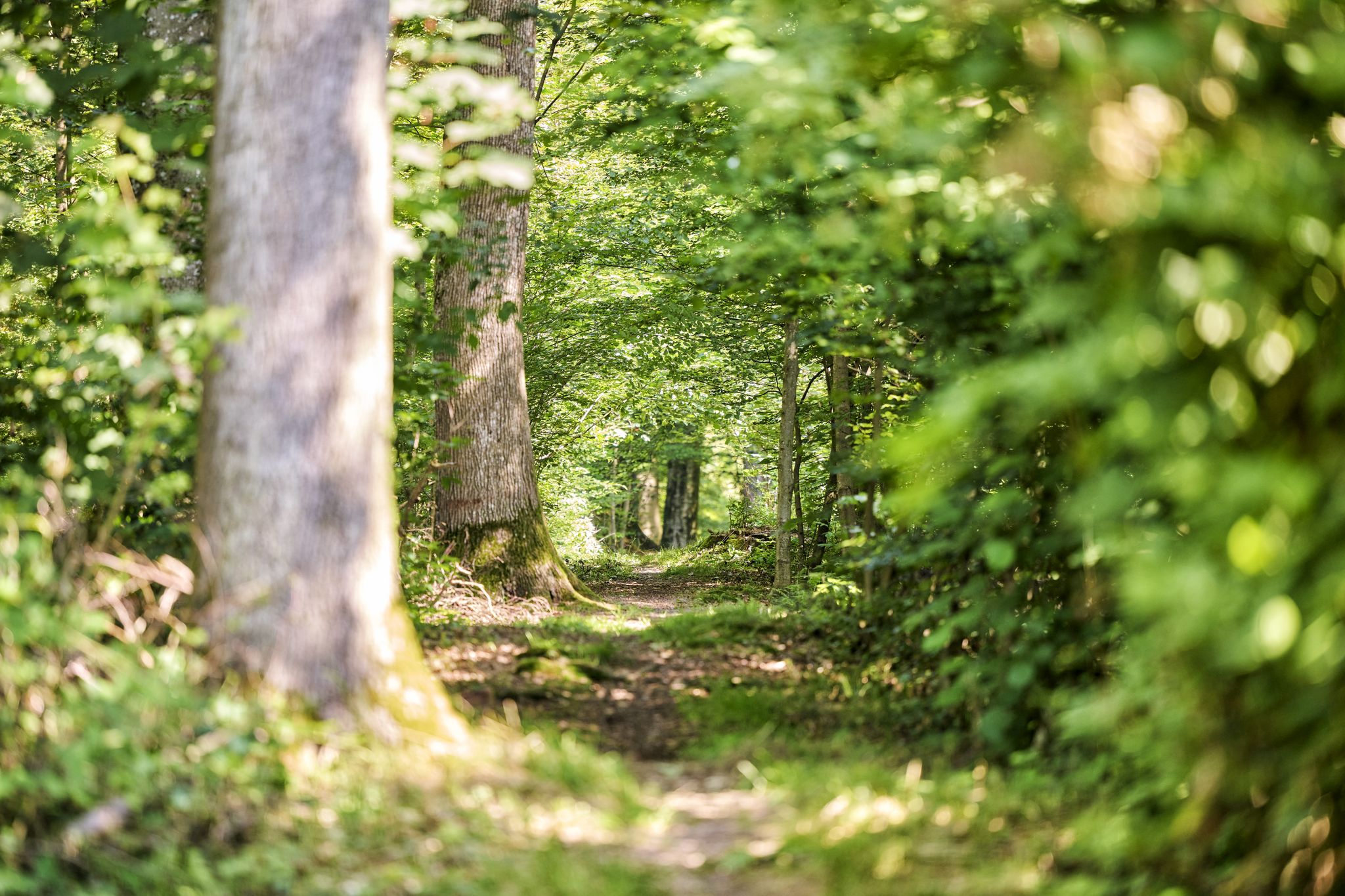
Trail running between woodlands & wine in the Land of 1000 Hills
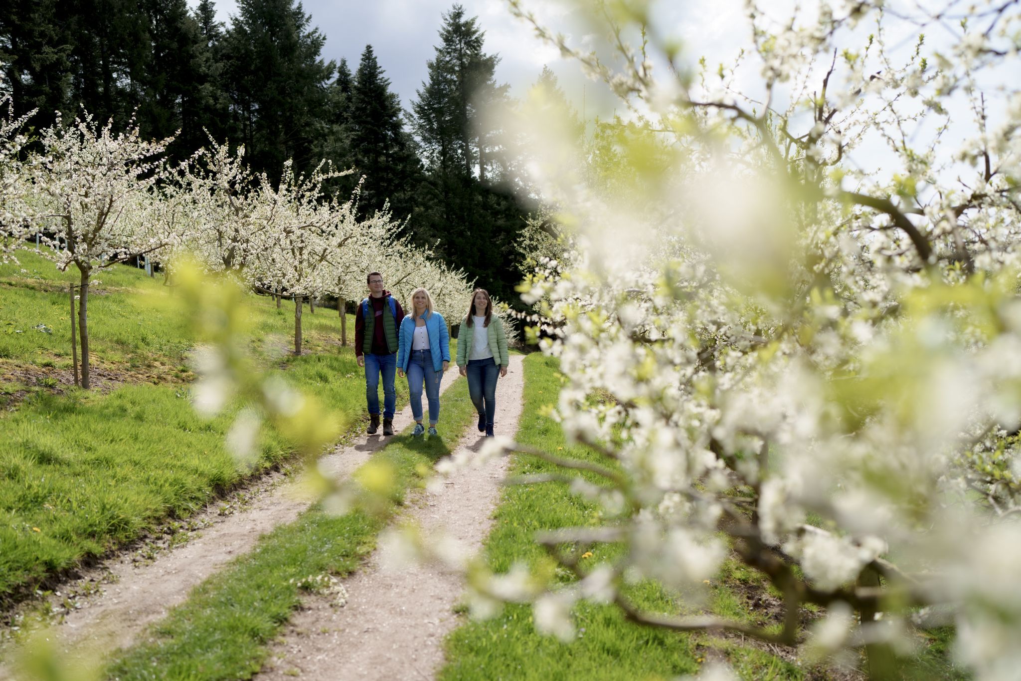
Hiking between Baden's vineyards, wildflowers & green lizards
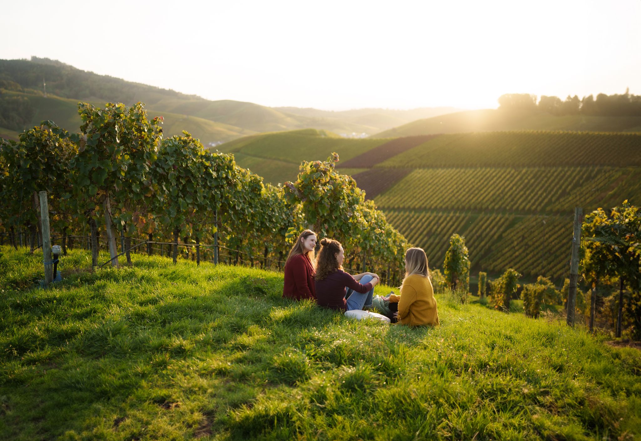
Picnics, wine and wide views – along the Baden Wine Route

Oases of calm – hill sofas in the land of 1,000 hills
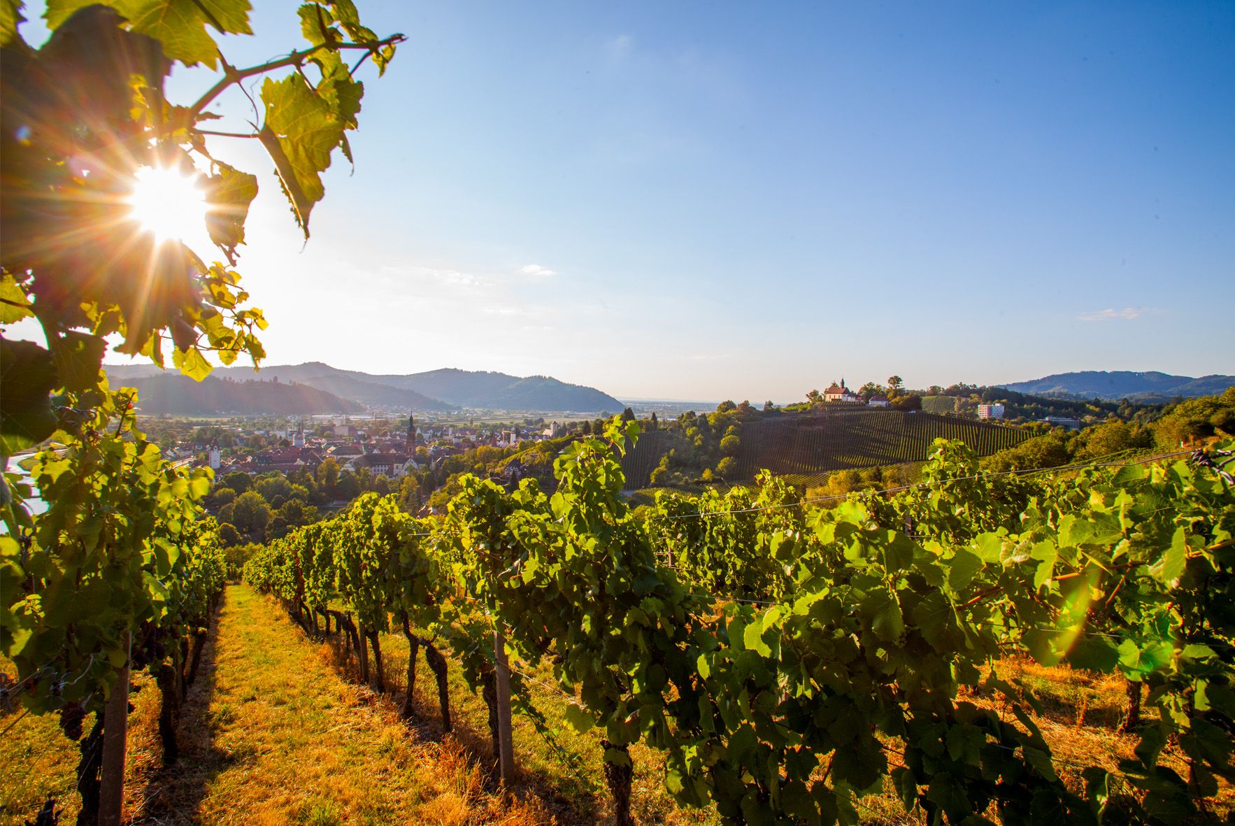
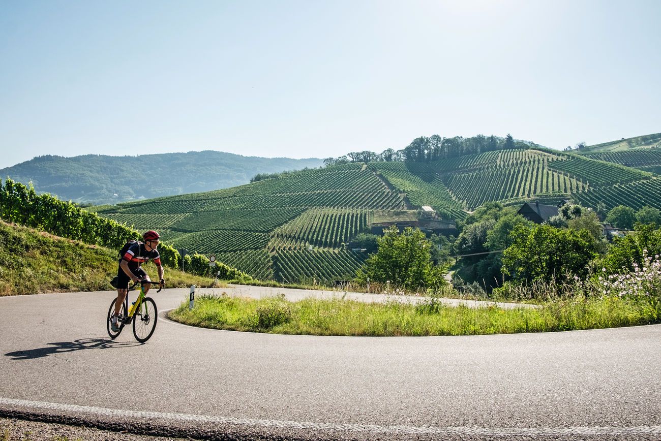
Right the Black Forest, left the Rhine – the Baden Wine Cycle Route
Von Heidelberg nach Basel: Vier Tage mit TOUR auf dem Badischen Weinradweg

Spring in the land of 1,000 hills – Kraichgau-Stromberg in Germany
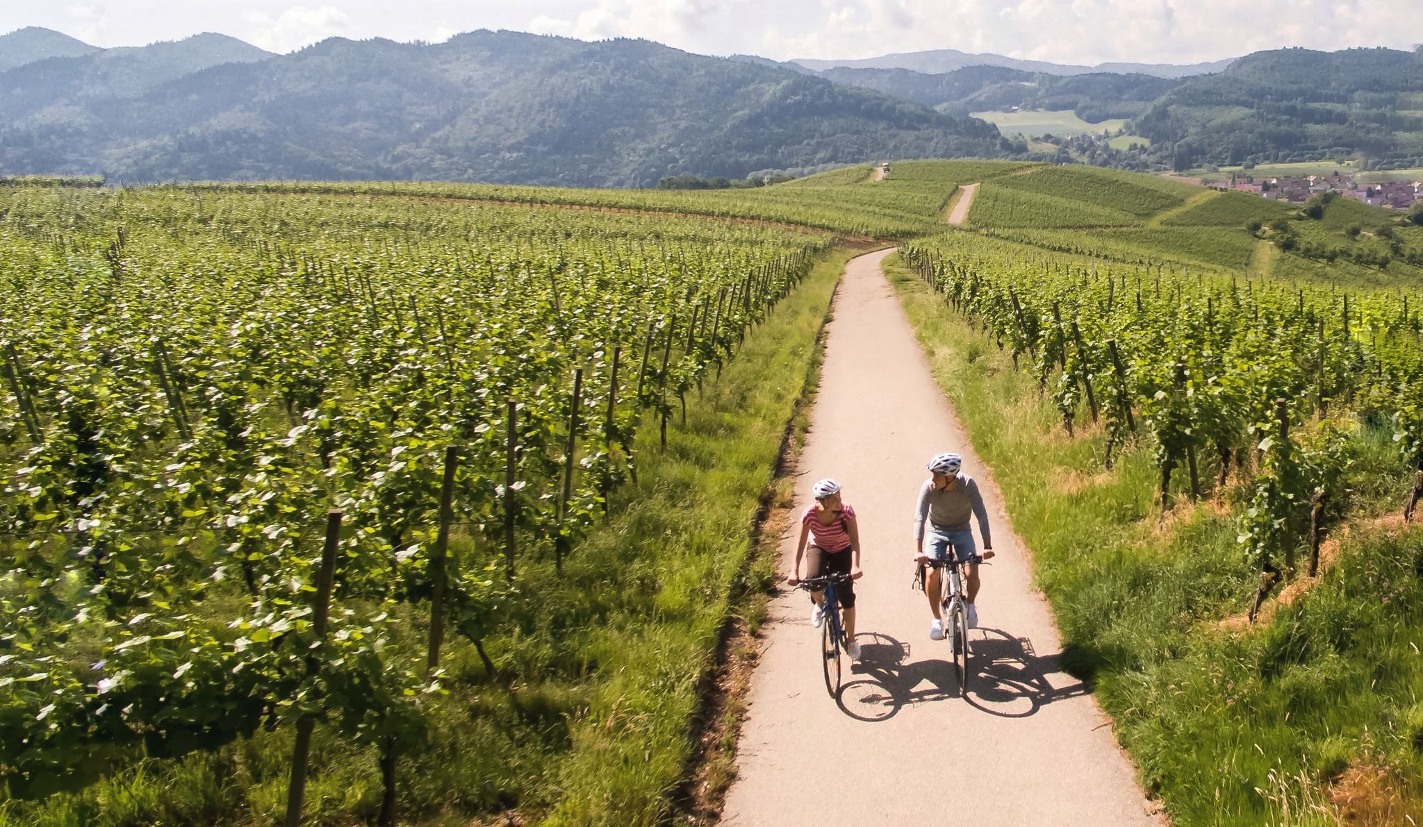
Vineyards and the Rhine Valley – the Baden Wine Cycle Route
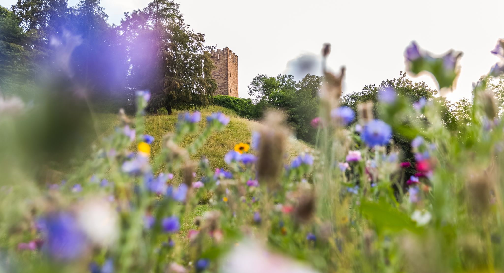
On foot in the nature park Stromberg-Heuchelberg
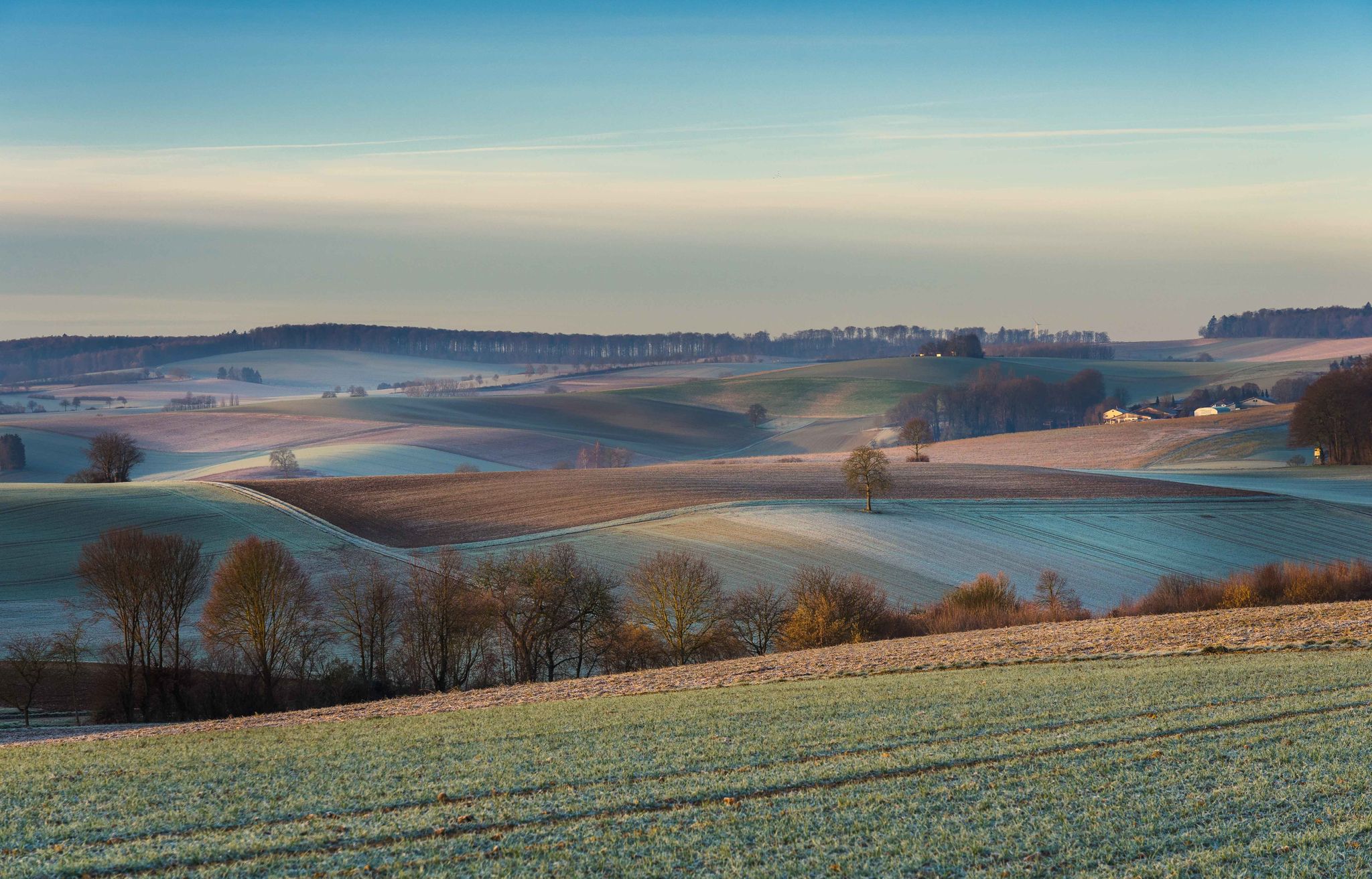
From hill to hill – hikes in Kraichgau-Stromberg
Other adventures around Oberderdingen


Tips from the Community

The way up to Ottilienberg leads along a small steep path.
11
0
Once a month - usually on the first Sunday of the month from 11 a.m. to 5 p.m. - the German Alpine Club, Eppingen district group, opens and manages the Ottilienberg tower.
19
1

The DAV Eppingen local group's hiking hut is currently open on the first Sunday of every month, whatever the weather.
10
0

The Aalkistensee nature reserve extends over the entire surface of the lake and beyond. The area stretches east along the Salzach to the federal highway 35; in the south to the railway line of the Westbahn. The 50.5 hectare area (protected area number 2,042) was placed under protection by decree of December 21, 1979 and is assigned to the natural area of the Kraichgau and Stromberg-Heuchelberg. The conservation of the lake with the various wetlands and hillside zones surrounding it in their uniqueness, diversity and beauty was named as an essential protective purpose, whereby the worthiness of protection, in addition to the supra-regional importance as a breeding and resting place for birds and as amphibian spawning waters, is based on the importance of the area as a Habitat of species-rich plant and animal communities and the importance of the lake as the location of large reed beds, in its shore area as a growth site for endangered plant species such as tambourine and marsh groundsel.
5
1

Beautiful chapel with a large rest area and covered seating
14
1

The Aalkistensee was created by monks. It is always a magnet for visitors.
4
1

The lake is primarily used for flood protection on the Zaber. In summer, swimmers and other people looking for relaxation visit the lake with its bathing beach; Anglers can catch pike, zander and perch there, as well as rainbow trout, carp, tench, bream, catfish and eel. Sailing and motor boating, on the other hand, are prohibited on the lake. Walking and hiking trails of different lengths touch the Ehmetsklinge, including a 6.5 km long circular lake trail, which also connects it with the Katzenbachsee, which is almost 2 km to the east. A forest and tree as well as a wine educational trail also run near the lake. There are some inns by the lake. In May 2009, the new nature park center of the Stromberg-Heuchelberg nature park opened its doors on the lake shore. The lake was created between 1968 and 1970, inaugurated in June 1970 with a lake festival, and expanded in 2000 and 2001. EnBW, the operating company of the Neckarwestheim nuclear power plant, initiated the enlargement of the lake; Low water in the Neckar during the summer and legal requirements had previously led to a lack of cooling water in the reactor at this time of year, which now hardly ever occurs. In the north-eastern area near the dam it has a fairly constant width of around 250m, further up it branches into two peaks that reach into the valleys of Zaber in the south-west and Ehmehtsklingenbach in the west and reaches its greatest length of around 600m at the tributary of the latter. With normal traffic jams, the surface of the lake is 232m above sea level. NN. The expansion increased the crest height of the dam structure on the air side from 12.50m to 15.05m, the crest length of the dam from 320.50m to 335.50m, the water depth from 4.80m to up to 8m with permanent waterlogging, the water area from 7, 3ha to 13.8ha, the storage volume from 190,000m³ to 590,000m³. Annually from August 15th to December 31st, the Neckar can now be supplied with an additional volume of water of up to 400,000 cubic meters via the Zaber to compensate for the evaporation caused by the operation of some thermal power plants on its banks, but the flood protection in Zabergäu and the Increasing the water level in case of low water in the Zaber. During the expansion, around 10 hectares of arable land were converted into meadows, trees and shrubs were planted and the front dam was designated as a biotope. The costs for this and for a number of other measures were borne by the operators of a number of thermal power plants on the Neckar under the management of the Neckarwestheim nuclear power plant.
10
0

For leisure and base of the DAV as well as a lookout tower
10
0
Frequently Asked Questions
What types of natural monuments can I explore in Oberderdingen?
Oberderdingen offers a diverse range of natural monuments, including serene lakes, significant nature reserves, and unique geological formations. The region is home to 19 officially designated natural monuments, encompassing both area-based sites and individual protected objects.
Are there any natural monuments suitable for families with children?
Yes, several natural monuments around Oberderdingen are very family-friendly. The Ehmetsklinge Reservoir is ideal, offering a spacious lawn, clear water for swimming, pedal boat rentals, and a barbecue hut. Similarly, Katzenbachsee features a circular path, kiosk, bathing beach, and barbecue area. Lake Pfannwald also has a forest playground and a barbecue hut, perfect for a family day out.
Where can I observe wildlife, especially birds, near Oberderdingen?
The West shore of Aalkistensee, part of the larger Aalkistensee Nature Reserve, is a vital habitat for regional bird protection. It serves as a crucial breeding and resting ground for various bird species like the Water Rail, Little Grebe, Marsh Warbler, and Eurasian Teal. Migratory birds such as the Whinchat and Stonechat can also be observed here, making it an excellent spot for birdwatching.
Are there any natural monuments with historical significance or good viewpoints?
Yes, the St. Ottilien Chapel on the Ottilienberg is a pilgrimage chapel with historical roots dating back to the 15th century. It also serves as an excellent viewpoint, offering scenic vistas. Additionally, the Geological Window at Horn (Geologisches Fenster am Horn) provides fascinating geological insights and panoramic views extending far beyond Oberderdingen from the "Derdinger Horn" viewpoint.
What kind of hiking trails are available near the natural monuments?
You'll find a variety of hiking trails near Oberderdingen's natural monuments. For instance, the Aalkistensee features a circular path of 5 km, perfect for relaxing walks. You can explore more options, including easy and moderate routes like the 'OD3 - Bernhardsweiher Tour' or the 'Derdinger Horn circular hike', by visiting the Hiking around Oberderdingen guide.
Can I go cycling or mountain biking near these natural monuments?
Absolutely. The area around Oberderdingen offers numerous routes for both cycling and mountain biking. You can find moderate to difficult cycling tours, such as the 'Broom Tour - from Oberderdingen to Sulzfeld', in the Cycling around Oberderdingen guide. For mountain biking enthusiasts, trails like the 'Aalkistensee – View from Derdinger Horn loop from Flehingen' are available in the MTB Trails around Oberderdingen guide.
What do visitors particularly enjoy about the natural monuments in Oberderdingen?
Visitors frequently praise the peaceful and relaxing atmosphere of the natural monuments. Many appreciate the well-equipped environments for rest, such as those at Lake Pfannwald where you can observe aquatic animals and enjoy the Kneipp facility. The scenic beauty, opportunities for family outings, and the chance to take a break with appropriate food at places like Ehmetsklinge Reservoir are also highly valued.
Are there any natural monuments that are particularly good for a quiet escape?
For pure peace and relaxation, the West shore of Aalkistensee is highly recommended. While not suitable for swimming, its beautiful shore and tranquil surroundings make it an ideal spot for a quiet break. Bernhardsweiher and Kraichsee, both protected lakes, also offer idyllic and peaceful environments to appreciate local flora and fauna.
Is there parking available near the natural monuments?
Yes, for the Aalkistensee Nature Reserve, there is a car park located south of the lake, providing convenient access to the circular path. Many other natural monuments and trailheads in the region also offer designated parking areas, making them accessible for visitors traveling by car.
What is the best time of year to visit the natural monuments around Oberderdingen?
The natural monuments around Oberderdingen can be enjoyed throughout the year. Spring and summer are ideal for activities like swimming, pedal boating, and enjoying the lush greenery and blooming flora. Autumn offers beautiful foliage, while winter provides a serene, quiet landscape for walks, especially around the lakes like Aalkistensee, though some facilities might be closed.
Are there any cafes or restaurants near the natural monuments?
Yes, some natural monuments offer facilities for refreshments. The Ehmetsklinge Reservoir has a lakeside kiosk and a small restaurant. Katzenbachsee also features a kiosk with catering. For other locations, you might find cafes or restaurants in the nearby towns and villages, often a short drive or walk away.
Most popular routes around Oberderdingen
Most popular attractions around Oberderdingen

Get inspired with the komoot mobile app


Explore more
Extend your search for the best caves by checking out these guides of the top ones around Oberderdingen:
