Top 20 Natural Monuments around Birresborn
Best natural monuments around Birresborn showcase the Volcanic Eifel's unique geological history and ecological significance. This community is known for its ancient volcanic landscapes, mineral springs, and historical quarry sites. The region offers diverse natural features, from ice caves to volcanic formations, providing insights into Earth's geological processes. These natural monuments are integral to the area's preserved ecosystems and offer opportunities for exploration.
Best natural monuments around Birresborn
- The most popular natural monuments is Buchenloch Cave, a cave that…
Last updated: August 17, 2026
Buchenloch Cave
Highlight • Cave
Translated by Google •
Tip by

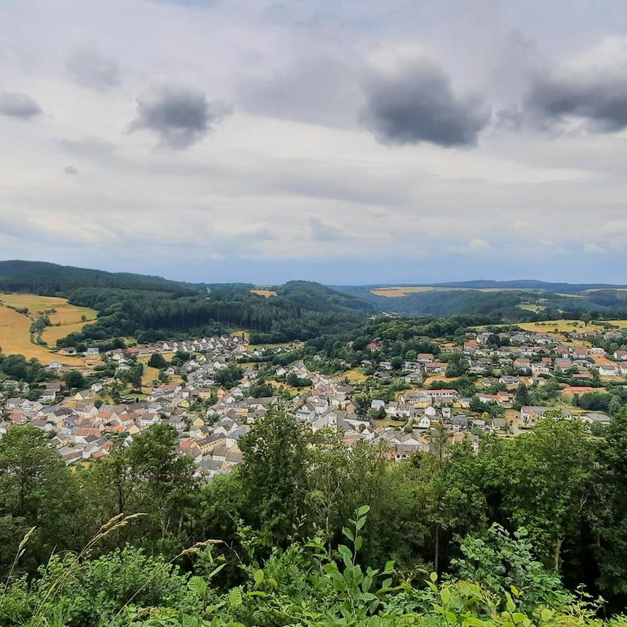
View of Gerolstein from the Munterley
Highlight • Viewpoint
Translated by Google •
Tip by

Sign up now to discover places like this
Get recommendations on the best single tracks, peaks, & plenty of other exciting outdoor places.
Sign up for free
Gerolsteiner Dolomiten Rock Formations
Highlight • Natural Monument
+ animal species found: bat
+ plant species found: …
Translated by Google •
Tip by

Gerolstein Dolomites
Highlight • Natural Monument
In addition to the imposing Dolomites, you can admire the beech wood cave and ice caves.
Translated by Google •
Tip by

Millstone Cave at Nerother Kopf
Highlight • Cave
The millstone cave consists of lava boards and is an artificial cave in the Vulkaneifel, Rhineland-Palatinate. It was created by the production of …
Translated by Google •
Tip by

Sign up for free to discover even more natural monuments around Birresborn.
Sign up for free
Already have an account?
Start today with a free account
Your next adventure awaits.
Login or Signup
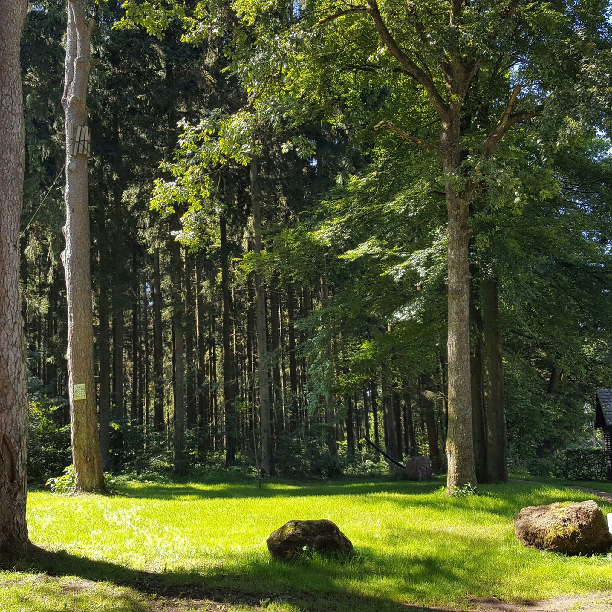

Tips from the Community

https://www.gerolsteiner-land.de/a-gerolsteiner-dolomiten Very impressive rocks. Really great tour.. We'll be back!!
5
0
https://de.m.wikipedia.org/wiki/Gerolsteiner Dolomiten The tour was really beautiful... It won't be the last time I'm there ❤️
9
0

Magnificent rock formations to marvel at. Partly supported with thick concrete pillars so they don't fall into the city.
5
0

The great rocks rise impressively in front of us. Just great to experience something like this here. The name Gerolsteiner Dolomites speaks for itself.
12
1
The Gerolsteiner Dolomites are incredibly beautiful and definitely worth a visit. They bear their name with full justification.
6
1

The trail leads to the 'Buchenloch Cave' which lies at the far edge of the Munterley Plateau. This was created 1.8 million years ago from a millimeter-wide crack in the rock massif and was used by people in the Neolithic Age 300,000 years ago.
12
1
Almost 400 million years ago, where the Gerolsteiner Dolomites rise today, there was a subtropical shallow sea with a huge reef that is one of the oldest reefs on earth. This particularly beautiful and attractive hiking trail with scenic and geological features takes the hiker into an exciting past of our planet with beautiful views from Munterley and Hustley into the Kylltal.
10
1
"With an area of around 102 hectares, the area around the Gerolstein Dolomites has been designated a nature reserve since 1990. + animal species found: bat + plant species found: juniper, orchids, characteristic plants, calcareous grassland, woodrush beech forest, woodruff beech forest, orchid calcareous beech forest Around 380 million years ago, there was a warm, subtropical shallow sea here, in which mighty reefs of stromatoporoids - relatives of sponges - and corals formed. After the dolomitization, sinking and folding of the rocks, the Devonian deposits were lifted out again. This created today's Gerolstein Dolomites, which rise steeply above the Kyll valley north of the center of Gerolstein. The rocks "Hustley", "Munterley", "Drohende Ley", "Große Kanzel" and "Auberg" characterize the cityscape even from afar and form the landmark Gerolsteins. The most famous peak of the Gerolstein Dolomites is the "Munterley" - with a height of 482 meters - and offers a breathtaking view over Gerolstein, the Kyll valley and far into the Volcanic Eifel. This view was obviously also enjoyed by Stone Age people who settled here 30,000 years ago, as evidenced by stone tools and bones found in the nearby Buchenloch cave. Visit to the Gerolstein Dolomites can be perfectly combined with hiking the rock path - the northern part of the "Gerolstein Dolomites Eight". The almost eight-kilometer-long circular tour offers many magical places and geological traces." https://www.eifel.info/a-gerolsteiner-dolomiten
12
0
Frequently Asked Questions
What are some of the most popular natural monuments to visit around Birresborn?
Visitors frequently enjoy the Buchenloch Cave, known for its historical significance and bat habitats. The Gerolsteiner Dolomiten Rock Formations are also highly appreciated for their ancient geological history, formed from reefs over 380 million years ago. Additionally, the View of Gerolstein from the Munterley offers breathtaking panoramic views over Gerolstein and the Kylltal.
Are there any unique geological features specific to the Birresborn area?
Yes, Birresborn is particularly known for its unique geological features. These include the **Birresborn Ice Caves**, which are former basalt quarries with consistently cool temperatures allowing ice formations to persist, and the **Kalem Volcano**, an ancient stratovolcano showcasing lava quarries and columnar basalt. The region also features several 'Dreese' or mineral springs, such as the Lindenquelle, which are a direct result of the Eifel's underlying volcanism.
What is the best time of year to visit the natural monuments around Birresborn?
The best time to visit depends on the specific monument. The Birresborn Ice Caves are only open to visitors from April 15th to October 15th to protect hibernating bats. Generally, spring and autumn offer pleasant temperatures for hiking and exploring the volcanic landscapes and mineral springs. Winter walks can also be rewarding, but some sites like the Buchenloch Cave are closed from October 1st to March 31st for bat protection.
Are there family-friendly natural monuments or activities in the Birresborn area?
Many natural monuments around Birresborn are suitable for families. The View of Gerolstein from the Munterley is listed as family-friendly, offering great views. The Gerolsteiner Dolomiten Rock Formations are also recommended for children, especially when combined with the rock path. Exploring the Birresborn Ice Caves can be an exciting adventure for families, though sturdy shoes, a torch, and warm clothing are advised.
What kind of historical significance do the natural monuments in Birresborn hold?
The natural monuments in Birresborn are rich in history. The Birresborn Ice Caves, for instance, were originally basalt quarries used for millstone production and later served as natural refrigerators and wartime refuges. The Buchenloch Cave has yielded tools and animal bones from the Ice Age, indicating ancient human presence. The Dreese (mineral springs) have been valued for their properties since Roman times, and the Millstone Cave at Nerother Kopf is another example of historical quarrying for millstones.
What should I wear or bring when exploring the natural monuments?
When exploring the natural monuments, especially the caves, it's advisable to wear sturdy shoes. For the Birresborn Ice Caves, a torch (flashlight) is essential, and dressing warmly is highly recommended due to the consistently cool temperatures. Helmets and gloves are also suggested for exploring the tunnels within the ice caves.
Are there hiking trails that incorporate the natural monuments around Birresborn?
Yes, the natural monuments are often integrated into hiking routes. A roughly five-kilometer-long geo-circular path provides access to the Birresborn Ice Caves. The Gerolsteiner Dolomiten Rock Formations can be explored via the rock path, which is part of the 'Gerolstein Dolomites Eight'. You can find various hiking options, including easy trails, that pass by these sites. For more details, explore easy hikes around Birresborn.
Can I drink the water from the mineral springs (Dreese) in Birresborn?
You can draw drinking water from the Lindenquelle, one of Birresborn's mineral springs. However, it's important to note that the water from the Fischbach-Drees was not deemed potable as of summer 2025 due to bacteriological findings. Always check local signage or current information regarding the potability of natural springs.
What kind of wildlife can be observed at these natural monuments?
The natural monuments around Birresborn are important habitats for various wildlife. The Birresborn Ice Caves and the Buchenloch Cave serve as crucial winter roosts for several bat species, including protected ones. The Kalem Volcano's forested cinder cone is part of a designated Fauna-Flora-Habitat (FFH) area, and the Gerolsteiner Dolomiten Rock Formations nature reserve also supports bat populations and diverse plant species like juniper and orchids.
Are there opportunities for cycling or mountain biking near the natural monuments?
Yes, the region around Birresborn offers opportunities for cycling and mountain biking. While not directly at every monument, there are numerous routes nearby. You can find options for gravel biking around Birresborn and MTB trails around Birresborn, which may pass through or near the broader natural landscapes of the Volcanic Eifel.
What makes the Gerolsteiner Dolomites a significant natural monument?
The Gerolsteiner Dolomiten Rock Formations are significant because they are remnants of ancient reefs that formed in a subtropical shallow sea approximately 380 million years ago. This area, designated as a nature reserve, showcases impressive rock formations like 'Hustley' and 'Munterley' that rise steeply above the Kyll valley, offering a tangible connection to the region's deep geological past and providing habitat for unique flora and fauna.
What is the 'cold trap effect' in the Birresborn Ice Caves?
The 'cold trap effect' in the Birresborn Ice Caves refers to the phenomenon where cold air, being denser, sinks into the cave system and gets trapped. This results in consistently low temperatures, often below 7 degrees Celsius, even during hot summers. This unique microclimate allows for the formation and persistence of impressive ice formations, such as icicles and columns, well into the warmer months.
Most popular routes around Birresborn
Most popular attractions around Birresborn

Get inspired with the komoot mobile app


Explore more
Extend your search for the best caves by checking out these guides of the top ones around Birresborn:
