Top 5 Mountain Passes around Sersheim
Best mountain passes around Sersheim are found within the Stromberg-Heuchelberg Nature Park, a low mountain range in Baden-Württemberg, Germany. This region features rolling hills, vineyards, and forests, offering elevated routes with panoramic views. The landscape is suitable for both cycling and hiking, with numerous trails winding through varied terrain. While Sersheim is not known for traditional high mountain passes, its geography provides scenic routes for outdoor activities.
Best mountain passes around Sersheim
- The most popular mountain passes is Hill Pass…
Last updated: June 24, 2026
Hill Pass "Hohe Reute"
Highlight • Mountain Pass
Translated by Google •
Tip by

Hohenhaslach–Güglingen Climb
Highlight (Segment) • Climb
Translated by Google •
Tip by

Sign up now to discover places like this
Get recommendations on the best single tracks, peaks, & plenty of other exciting outdoor places.
Sign up for free
Gündelbacher Steige hill pass
Highlight • Mountain Pass
Translated by Google •
Tip by
Rosswager Steige Hill Pass
Highlight • Mountain Pass
Take a selfie of yourself, your fellow cyclists, and the pass sign. Then upload it …
Translated by Google •
Tip by
Start today with a free account
Your next adventure awaits.
Login or Signup

Other adventures around Sersheim

Tips from the Community

You have to drive a short distance on the country road
0
0

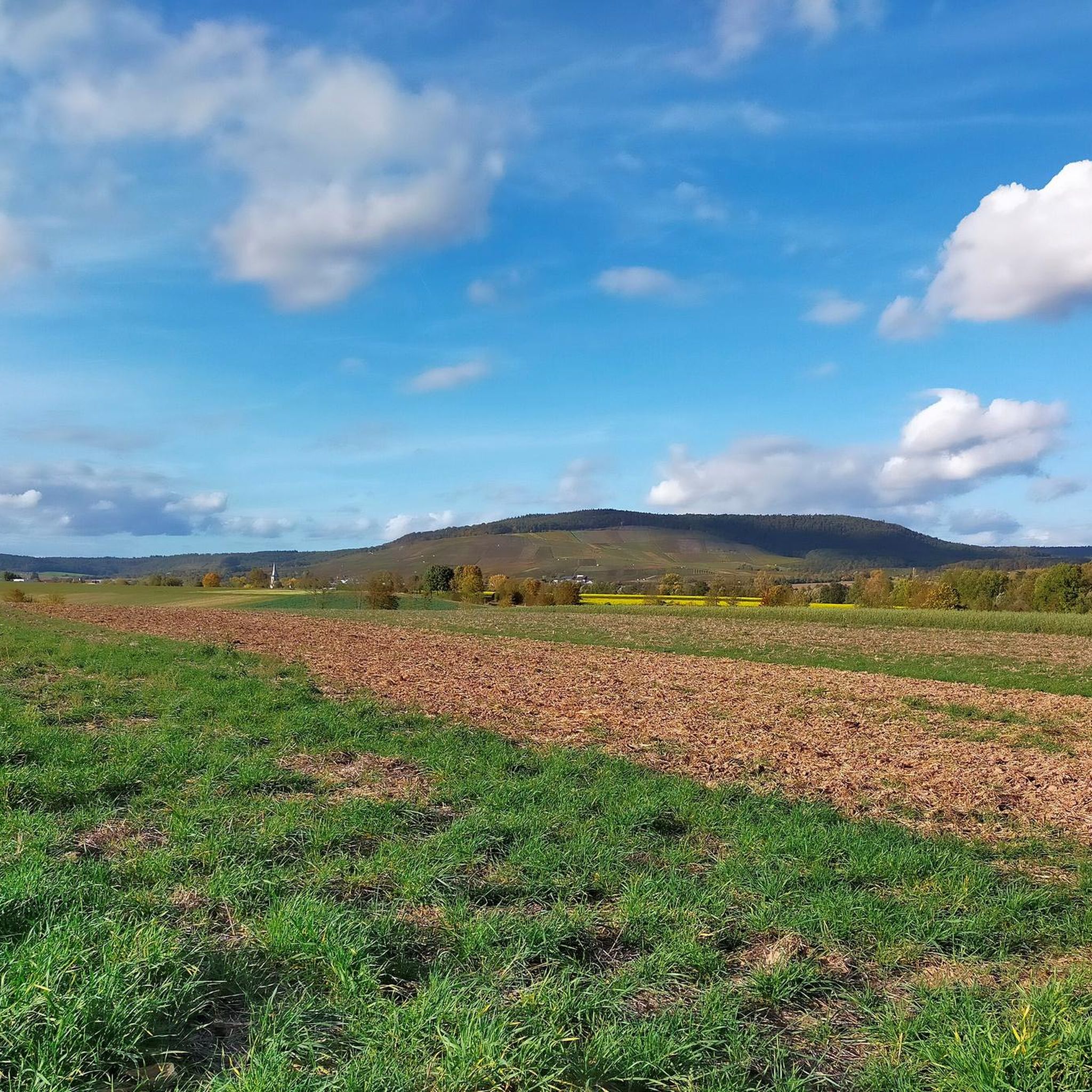
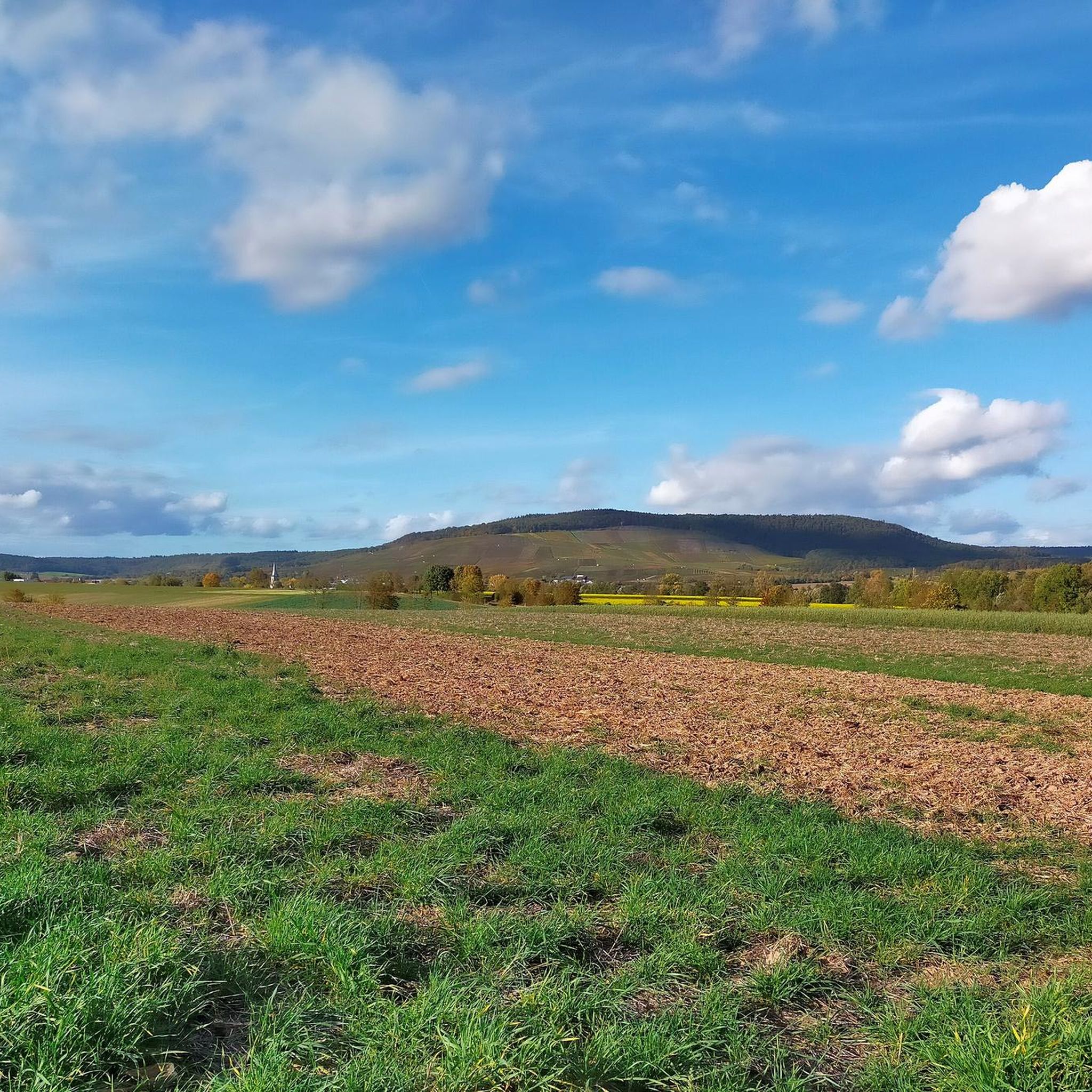
At an altitude of 314 meters, a magnificent, fertile landscape with expansive views awaits you. Take a selfie of yourself, your fellow cyclists, and the pass sign. Then upload it to the Wall of Fame via the QR code on the pass sign or via the website http://www.kraichgau-stromberg.de/bewegen/radfahren/1000-huegel-paesse. Alternatively, you can also tag it with the hashtag #1000hügelpässe on Instagram and Facebook. We look forward to a colorful collection of your hill pass moments! You can also find all the hill passes in the "1000-Hill-Passes-komoot Collection".
0
0
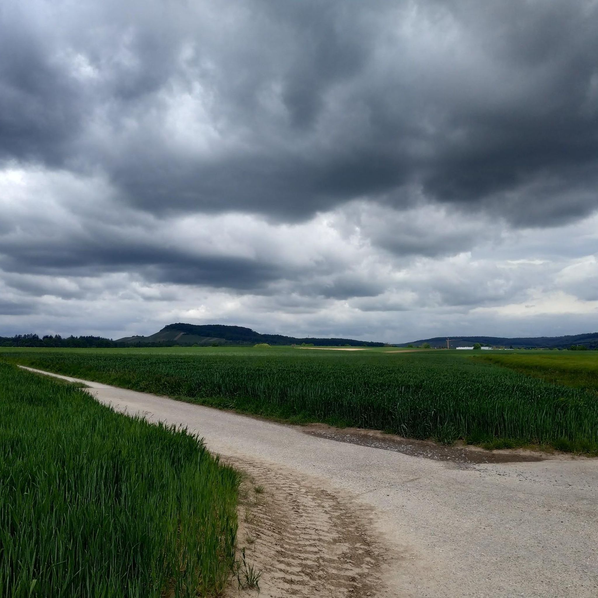
The Gündelbacher Steige pass, at an altitude of 375 meters, is located in the beautiful town of Vaihingen an der Enz, between Gündelbach and Häfnerhaslach. Take a selfie in front of the pass sign and upload it to the Wall of Fame (via the QR code on the pass sign or via the website www.kraichgau-stromberg.de/bewegen/radfahren/1000-huegel-paesse).
0
1
Take a selfie of you and your team with the pass plate and upload it to the Wall of Fame at kraichgau-stromberg.de/bewegen/radfahr/1000-huegel-paesse or link the #1000hügelpasses on Instagram. We look forward to a colorful collection with your hill pass moments! :)
2
0
The pass at Heiligenbergsee, situated at an altitude of 375 meters, is located in the picturesque surroundings of Häfnerhaslach, a district of the town of Sachsenheim. Take a selfie in front of the pass sign and upload it to the Wall of Fame (via the QR code on the pass sign or via the website http://www.kraichgau-stromberg.de/bewegen/radfahren/1000-huegel-paesse).
1
1

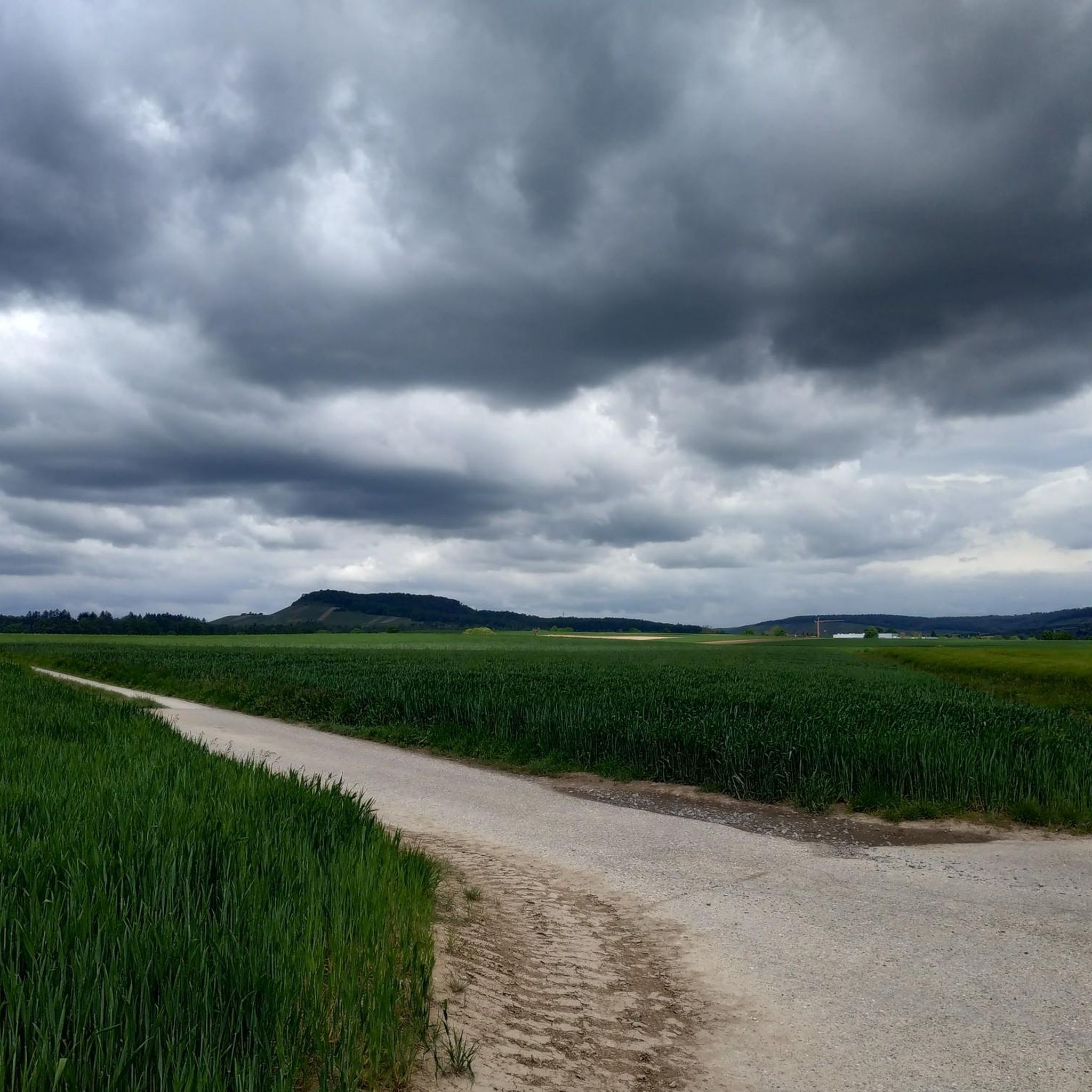
A short but beautiful gravel pass leads up to Hohe Reute.
2
0

Interesting "pass" stretch. Really challenging, especially from Eibensbach. Depending on the direction of travel, either the district of Ludwigsburg or Heilbronn greets you at the top. The ruins of Blankenhorn are not far from the summit.
0
0

Great route with a nice slope from Ochsenbach over the hump. The ascent is not too steep and nice and shady in summer.
0
0
Frequently Asked Questions
What kind of landscape can I expect on the mountain passes near Sersheim?
The mountain passes around Sersheim are located within the Stromberg-Heuchelberg Nature Park, characterized by a low mountain range with soft contours, vast hills, picturesque vineyards, and dense forests. You'll find scenic routes offering panoramic views over the surrounding countryside, often likened to the "Tuscany of Kraichgau".
Are there good cycling routes that include mountain passes near Sersheim?
Yes, the Stromberg-Heuchelberg Nature Park boasts an extensive network of cycling tracks. Many road bike routes traverse the varied landscape, incorporating elevated sections and passes. For example, the Gündelbacher Steige hill pass is specifically noted as a cycle_way. You can find more options in the Road Cycling Routes around Sersheim guide.
What hiking opportunities are there around the Sersheim mountain passes?
Numerous hiking trails wind through the nature park, catering to various fitness levels and often providing elevated views. The Hill Pass "Hohe Reute" and Hill Pass "Zaberfelder Steige" are both part of trails. The Eppinger-Linien-Weg, a quality hiking trail, also runs through the nature park, blending nature, art, and history. For more options, explore the Hiking around Sersheim guide.
Are there viewpoints along the mountain passes near Sersheim?
Absolutely. Several elevated spots and passes offer stunning vistas. The Hill Pass "Hohe Reute" and Gündelbacher Steige hill pass are both designated viewpoints at 375 meters altitude. The Rosswager Steige Hill Pass also offers magnificent, expansive views. Additionally, the Himmelsleiter (Ladder to Heaven) features an observation pavilion with impressive views, particularly of steep-slope viticulture.
What cultural or historical sites can I find near the mountain passes?
The region offers a blend of nature and history. The Eppinger-Linien-Weg, a quality hiking trail, follows the historical defensive structure of the Eppinger Lines. The UNESCO World Heritage site of Maulbronn Monastery is also located along this route, adding a significant cultural highlight to your visit.
What makes the Hohenhaslach–Güglingen Climb a notable route?
The Hohenhaslach–Güglingen Climb is appreciated for its good road surface and the pleasant shade provided by the forest during the ascent. It offers a beautiful climb with some steeper passages, making it a rewarding experience for cyclists.
Are there any specific tips for visiting the Rosswager Steige Hill Pass?
The Rosswager Steige Hill Pass, at 314 meters, offers a magnificent, fertile landscape with expansive views. Visitors are encouraged to take a selfie with the pass sign and upload it to the Wall of Fame via the QR code or by using the hashtag #1000hügelpässe on social media.
What activities are available for runners near Sersheim's mountain passes?
Beyond cycling and hiking, the area around Sersheim offers various running trails. You can find routes that pass through natural reserves and scenic areas. For detailed options, refer to the Running Trails around Sersheim guide.
What is the best time of year to visit the mountain passes around Sersheim?
The region's picturesque vineyards and forests make it appealing throughout the warmer months, from spring to autumn. Spring offers blooming landscapes, while autumn provides vibrant fall colors. The pleasant shade in forested areas, like on the Hohenhaslach–Güglingen Climb, makes summer rides and hikes enjoyable.
Are there any unique features or experiences related to the mountain passes in this region?
Many of the passes, such as Hill Pass "Hohe Reute" and Gündelbacher Steige hill pass, are part of the "1000-Hügel-Pässe" (1000 Hill Passes) initiative. Visitors can take selfies with pass signs and upload them to a Wall of Fame, adding a fun, interactive element to their exploration of the region's elevated routes.
What kind of terrain can I expect on the Hill Pass "Hohe Reute"?
The Hill Pass "Hohe Reute" offers a short but beautiful gravel route. It's situated at an altitude of 375 meters near Häfnerhaslach, providing both a physical challenge and scenic views.
Most popular routes around Sersheim
Most popular attractions around Sersheim

Get inspired with the komoot mobile app


Explore more
See even more epic mountain passes by checking out these guides around Sersheim:
