The 20 Most Amazing Peaks around Comunanza Cadenazzo/Monteceneri
Best mountain peaks around Comunanza Cadenazzo/Monteceneri are found in the canton of Ticino, Switzerland, offering diverse landscapes and viewpoints. This region features a mix of moderate to challenging terrain, with peaks providing extensive panoramic views over lakes, plains, and the surrounding Alps. The area is characterized by its natural beauty and historical elements, including old military pathways and fortifications.
Best mountain peaks around Comunanza Cadenazzo/Monteceneri
- The most popular mountain peaks is Cima di Medeglia Summit Cross, a summit that…
Last updated: October 10, 2026
Cima di Medeglia Summit Cross
Highlight • Summit
Translated by Google •
Tip by

Motto della Croce viewpoint
Highlight • Viewpoint
Translated by Google •
Tip by
Sign up now to discover places like this
Get recommendations on the best single tracks, peaks, & plenty of other exciting outdoor places.
Monte Bar
Highlight • Summit
Translated by Google •
Tip by

San Jorio Hut
Highlight • Mountain Hut
Below are the openings for 2023:
June 18th opening party.
From 19 June always open until 10 September.
On weekends until the end of October.
Translated by Google •
Tip by

Sasso Grande (Denti della Vecchia)
Highlight • Climb
Translated by Google •
Tip by
Sign up for free to discover even more peaks around Comunanza Cadenazzo/Monteceneri.
Already have an account?
Start today with a free account
Your next adventure awaits.
Popular around Comunanza Cadenazzo/Monteceneri
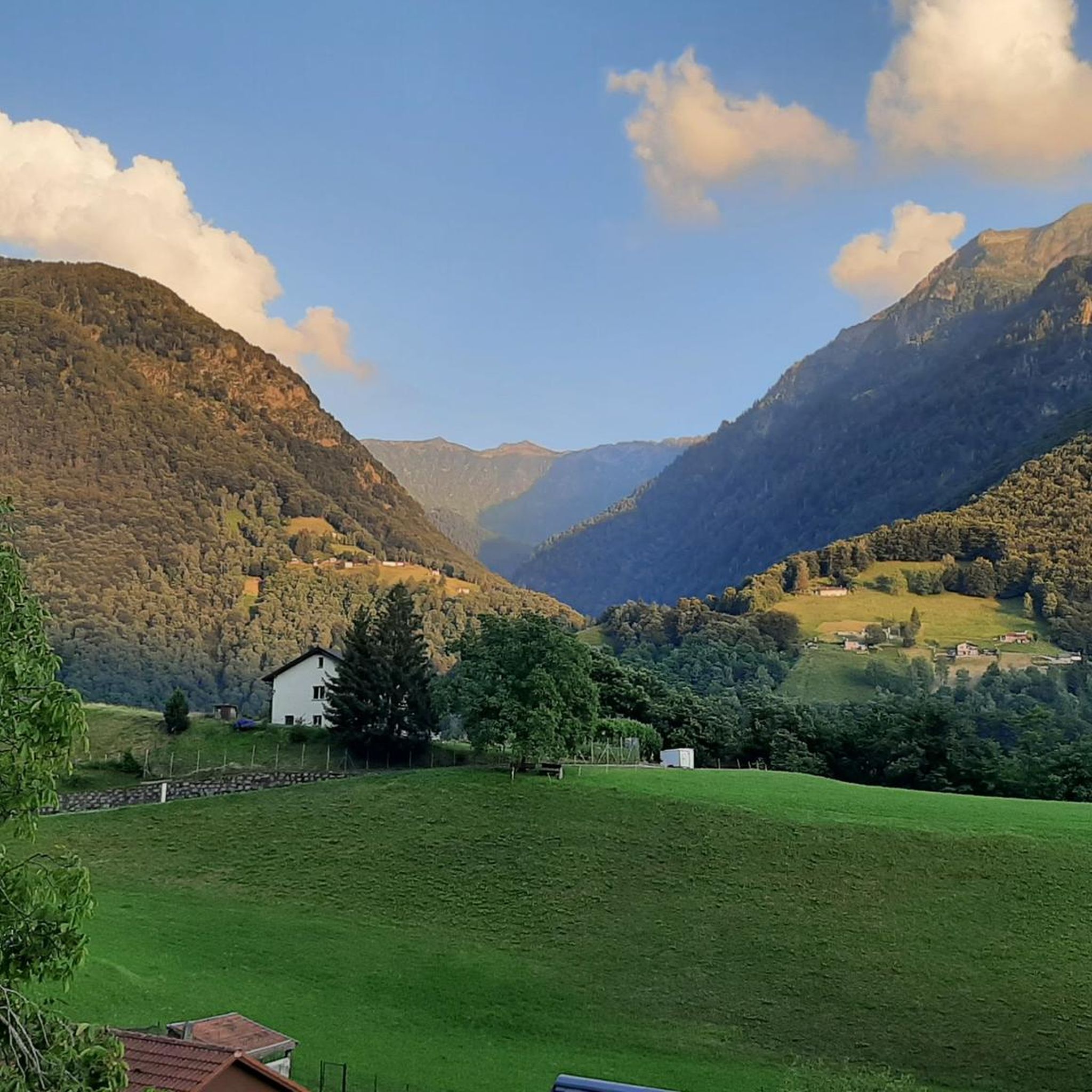
Hiking around Comunanza Cadenazzo/Monteceneri
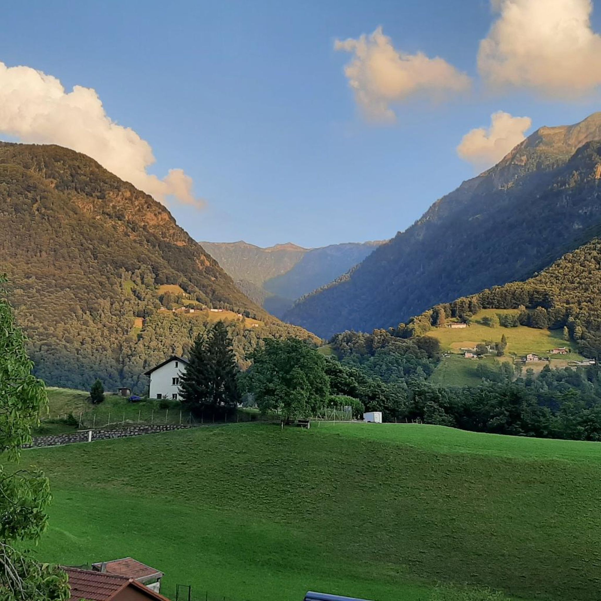
MTB Trails around Comunanza Cadenazzo/Monteceneri
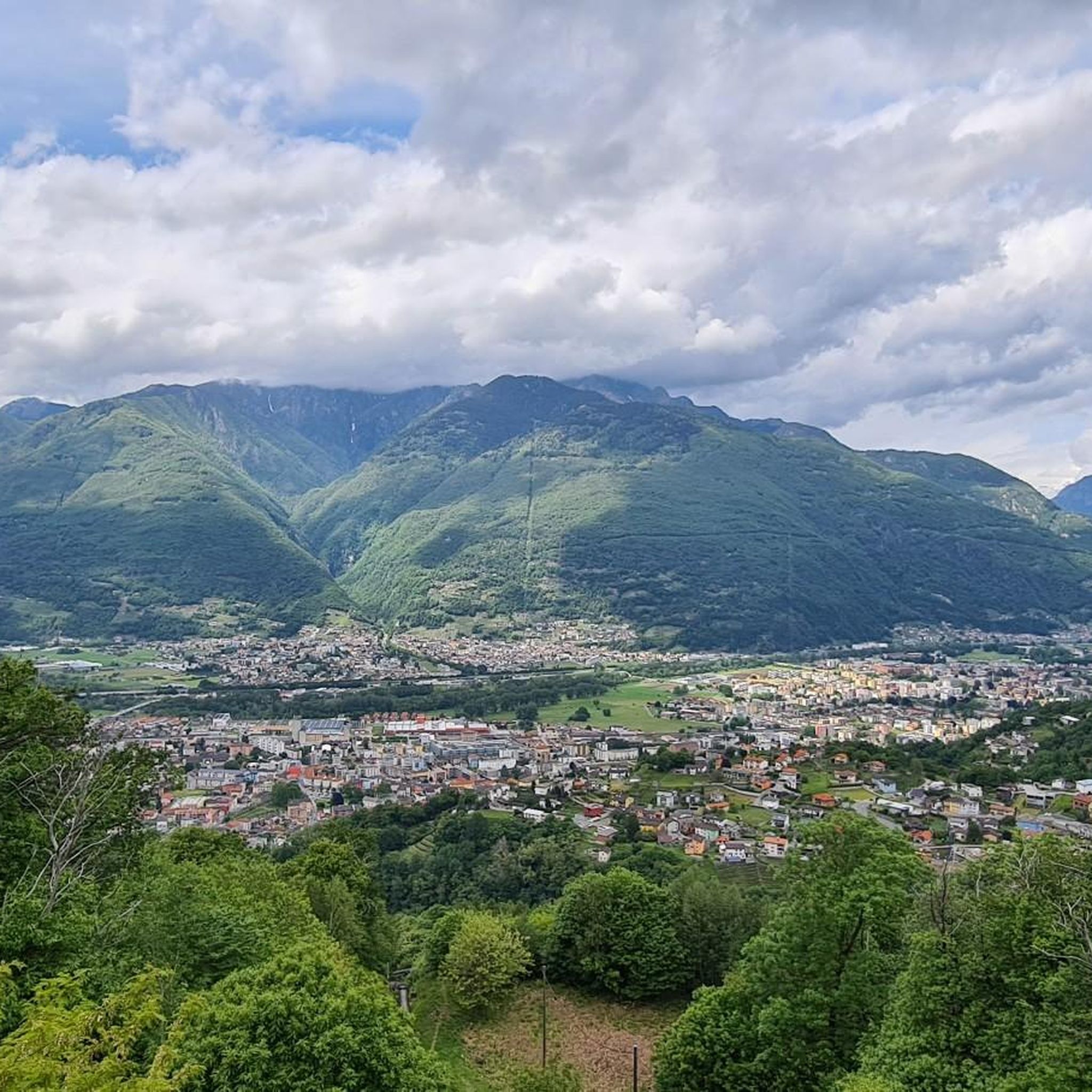
Road Cycling Routes around Comunanza Cadenazzo/Monteceneri
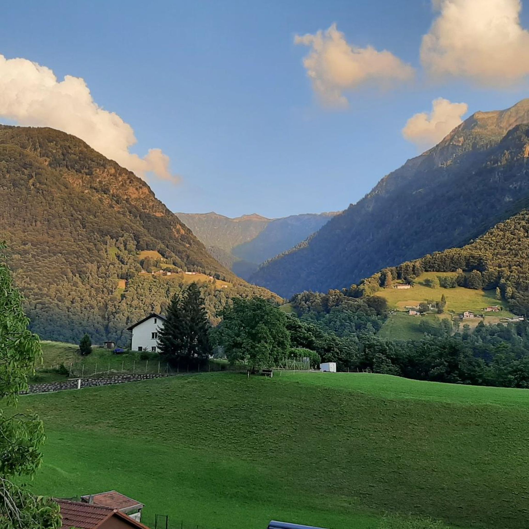
Cycling around Comunanza Cadenazzo/Monteceneri
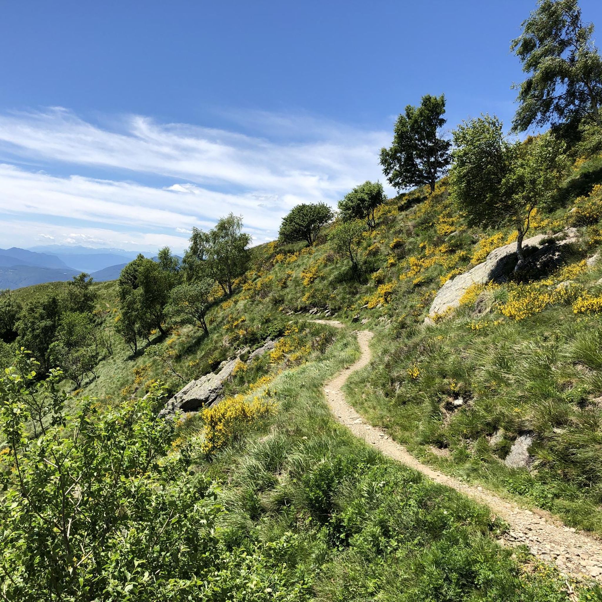
Running Trails around Comunanza Cadenazzo/Monteceneri
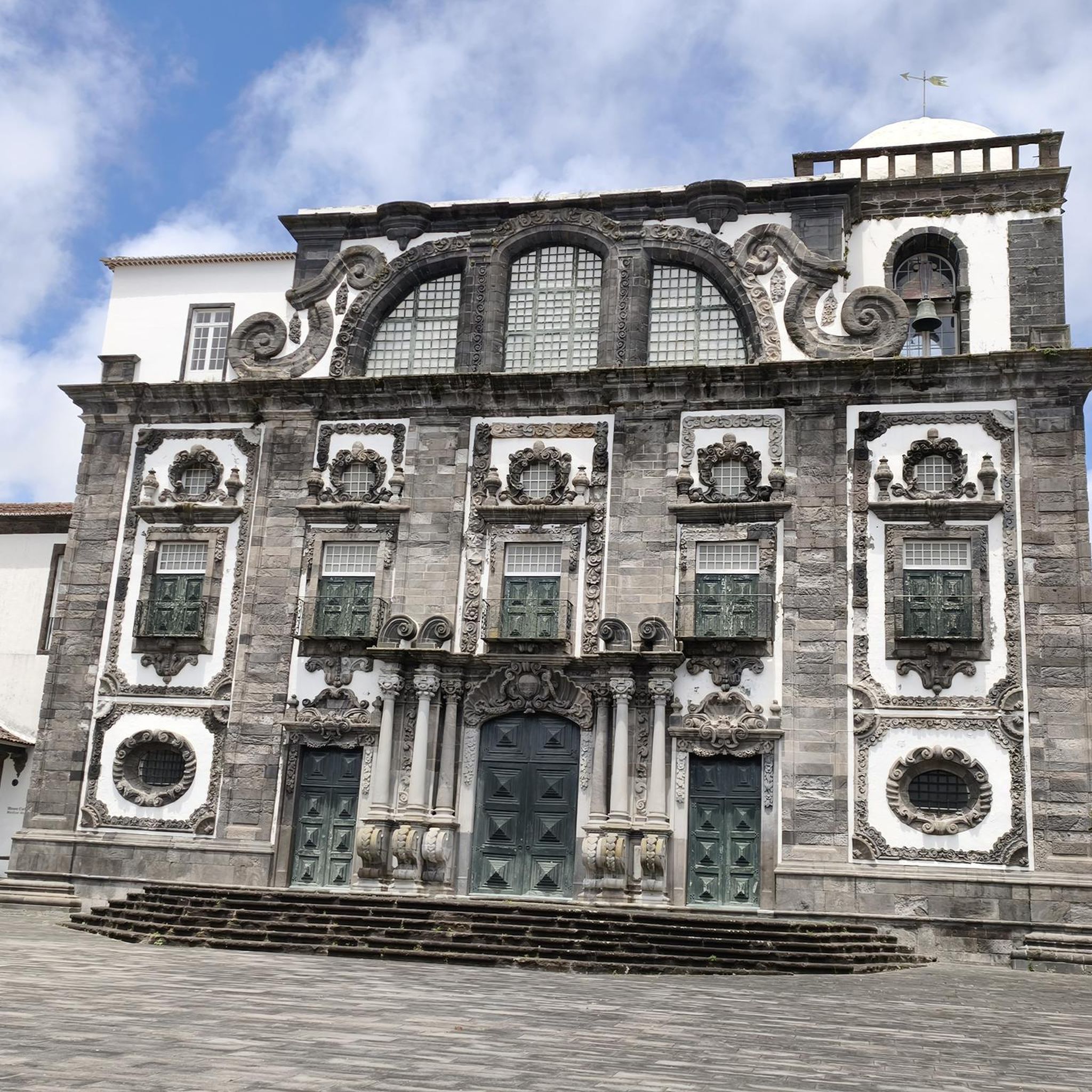
Gravel biking around Comunanza Cadenazzo/Monteceneri
Tips from the Community

Border pass between Italy and Switzerland, once an important route for smuggling and partisan warfare in the area. On the Italian side, the trail is easily accessible by mountain bike, although gravel riding is also a challenge, especially along the last two kilometers from Giovo. The pass is located at an altitude of 2,000 meters, and just below is the refuge of the same name. A stunning setting, largely untouched by human activity.
0
0

Magnificent 360-degree panoramic view
6
0
Open from June to September, this very welcoming refuge is located a few meters below the pass of the same name. The last 2 km are very difficult for gravel bikes, with a very rough road. The final section becomes paved with large stones, with gradients always above 10°. Stunning view and a large selection of snacks for those arriving.
0
0


Excellent view of the Southern Alps, as far as Lake Maggiore and Lake Lugano. You can see Bellinzona and Locarno
0
0
Magnificent summit with 360 degree panorama.
8
0

The top of Monte Bar, at 1816 metres, opens onto a phenomenal panoramic view of both Lake Lugano and Lake Maggiore. The path that leads to the summit is also particularly evocative, immersed in the coniferous forest in a south-west direction below the summit.
0
0
The path passes from the beech forest to the jagged ridges of the Denti della Vecchia, a series of peaks in the Lugano Prealps of which Sasso Grande is the highest.
0
0
Frequently Asked Questions
What are some of the most popular mountain peaks and viewpoints in Comunanza Cadenazzo/Monteceneri?
The region offers several highly regarded peaks and viewpoints. Cima di Medeglia Summit Cross is known for its overwhelming 360-degree panoramic views. Another popular spot is the Motto della Croce viewpoint, which provides excellent vistas from Lake Maggiore to Biasca. For a more challenging experience, Sasso Grande (Denti della Vecchia) offers majestic limestone cliffs and impressive views.
Are there any easy or family-friendly mountain peaks to visit in the Comunanza Cadenazzo/Monteceneri area?
Yes, Cima di Medeglia is considered an ideal destination for an easy hike, suitable for a morning, afternoon, or even an after-work excursion. Its moderate altitude and clear paths make it accessible for many, including families.
Which peaks offer the best panoramic views in the region?
For truly overwhelming panoramic views, Cima di Medeglia stands out, encompassing Lugano, Bellinzona, Ascona, and even the Gotthard massif on clear days. Camoghè, the highest mountain visible from Lugano, also provides unparalleled views across Lake Lugano, Lake Maggiore, and the surrounding Alps. Pizzo di Corgella offers extensive views over the Bellinzonese area, the Magadino Plain, and Lake Maggiore.
What historical features can be found on mountain trails in Comunanza Cadenazzo/Monteceneri?
The hike to Cima di Medeglia follows old military pathways and passes near bunkers and fortifications from World War I, adding a unique historical dimension to the natural beauty. These remnants of the Sperrstelle Monte di Medeglia fortifications offer a fascinating glimpse into the region's past defense strategies.
What are the best times of year to hike the mountain peaks in Comunanza Cadenazzo/Monteceneri?
The prime hiking season for most peaks, including Camoghè, spans from late spring through early autumn when trails are generally clear of snow. Pizzo di Corgella is particularly appealing for snowshoeing in winter, offering a fantastic experience with fresh snow and clear skies, but some routes can be more challenging with snow.
Are there challenging mountain peaks for experienced hikers in the area?
Yes, Camoghè is known for its challenging terrain, with some routes involving moderate to hard sections that may require hands for stability on exposed parts. Sasso Grande (Denti della Vecchia) also offers a challenging climb with impressive limestone cliffs.
What kind of wildlife might I spot while hiking in the mountains of Comunanza Cadenazzo/Monteceneri?
During the late spring, summer, and early autumn hiking season, particularly on peaks like Camoghè, you might have opportunities to spot local wildlife such as marmots.
Are there huts or refuges available for hikers in the mountain areas?
Yes, the San Jorio Hut, a former financial police barracks, now serves as a refuge for hikers. Another option is the Pairolo Hut, which offers accommodation and a splendid terrace with views of Monte Rosa and the Valais Alps.
What do visitors enjoy most about the mountain peaks in Comunanza Cadenazzo/Monteceneri?
Visitors frequently praise the overwhelming panoramic views, especially the 360-degree vistas from peaks like Cima di Medeglia. The combination of peaceful woodland paths and open ridge lines, along with historical elements like old military pathways, also adds to the appeal. Many hikers describe the experience of reaching summits like Camoghè as 'life-changing' due to the solitude and breathtaking scenery.
What outdoor activities can I do near the mountain peaks of Comunanza Cadenazzo/Monteceneri?
Beyond hiking, the region offers various outdoor activities. You can find numerous cycling routes, including gravel ascents and loop tours, as detailed in the Cycling around Comunanza Cadenazzo/Monteceneri guide. There are also dedicated running trails, such as the 'From Camorino to the fortini della Fame' loop, which you can explore in the Running Trails around Comunanza Cadenazzo/Monteceneri guide.
Are there specific hiking trails to reach peaks like Camoghè or Pizzo di Corgella?
Yes, for Camoghè, there's a notable route for the 'Ascent to Camoghè via Corte di Mezzo.' Pizzo di Corgella can be reached via various routes, including a 'Pizzo di Corgella and Cucchetto Loop.' You can find more details on these and other trails in the Hiking around Comunanza Cadenazzo/Monteceneri guide.
Most popular routes around Comunanza Cadenazzo/Monteceneri
Most popular attractions around Comunanza Cadenazzo/Monteceneri

Get inspired with the komoot mobile app


Explore more
See even more amazing summits around Comunanza Cadenazzo/Monteceneri with these guides:
