Top 20 Natural Monuments around Weede
Best natural monuments around Weede include a diverse landscape featuring moors, lakes, and unique geological formations. The region offers opportunities to explore natural reserves and significant natural landmarks. Weede's natural environment is characterized by its varied terrain, providing settings for outdoor activities.
Best natural monuments around Weede
- The most popular natural monuments is Kalkberg, Bad Segeberg, a natural monument that offers panoramic views. It is notable as the only rock mountain in its vicinity, formed by anhydrite or gypsum…
Last updated: June 24, 2026
Brenner Moor Nature Reserve
Highlight • Natural
Translated by Google •
Tip by

Kalkberg, Bad Segeberg
Highlight • Natural Monument
The view in good weather is fantastic.
And it is the only rock mountain in the big circle! The next one should be in the Harz …
Translated by Google •
Tip by

Sign up now to discover places like this
Get recommendations on the best single tracks, peaks, & plenty of other exciting outdoor places.
Sign up for free
Herrenteich Reinfeld
Highlight • Lake
Translated by Google •
Tip by

Lake Ihl
Highlight • Lake
Translated by Google •
Tip by

Fischhuser Bridge over the Herrenteich, Reinfeld
Highlight • Bridge
Translated by Google •
Tip by

Sign up for free to discover even more natural monuments around Weede.
Sign up for free
Already have an account?
Start today with a free account
Your next adventure awaits.
Login or Signup
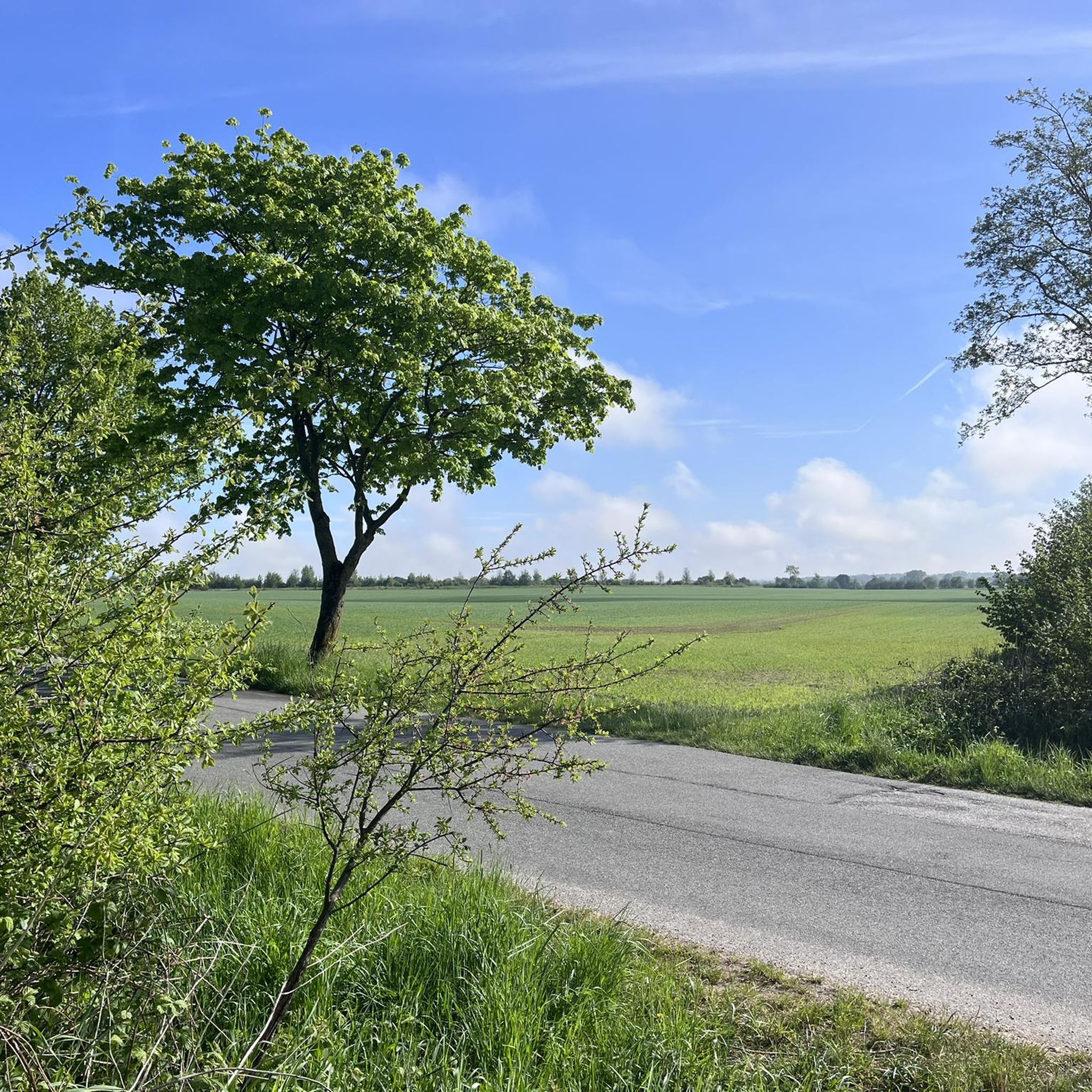
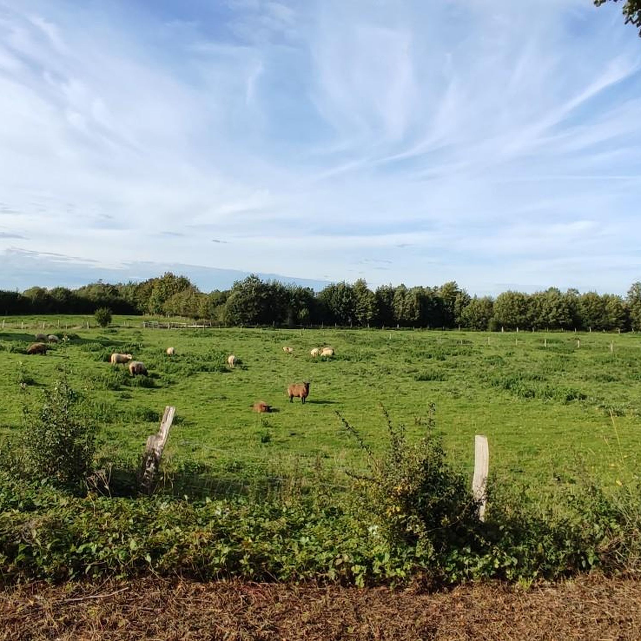
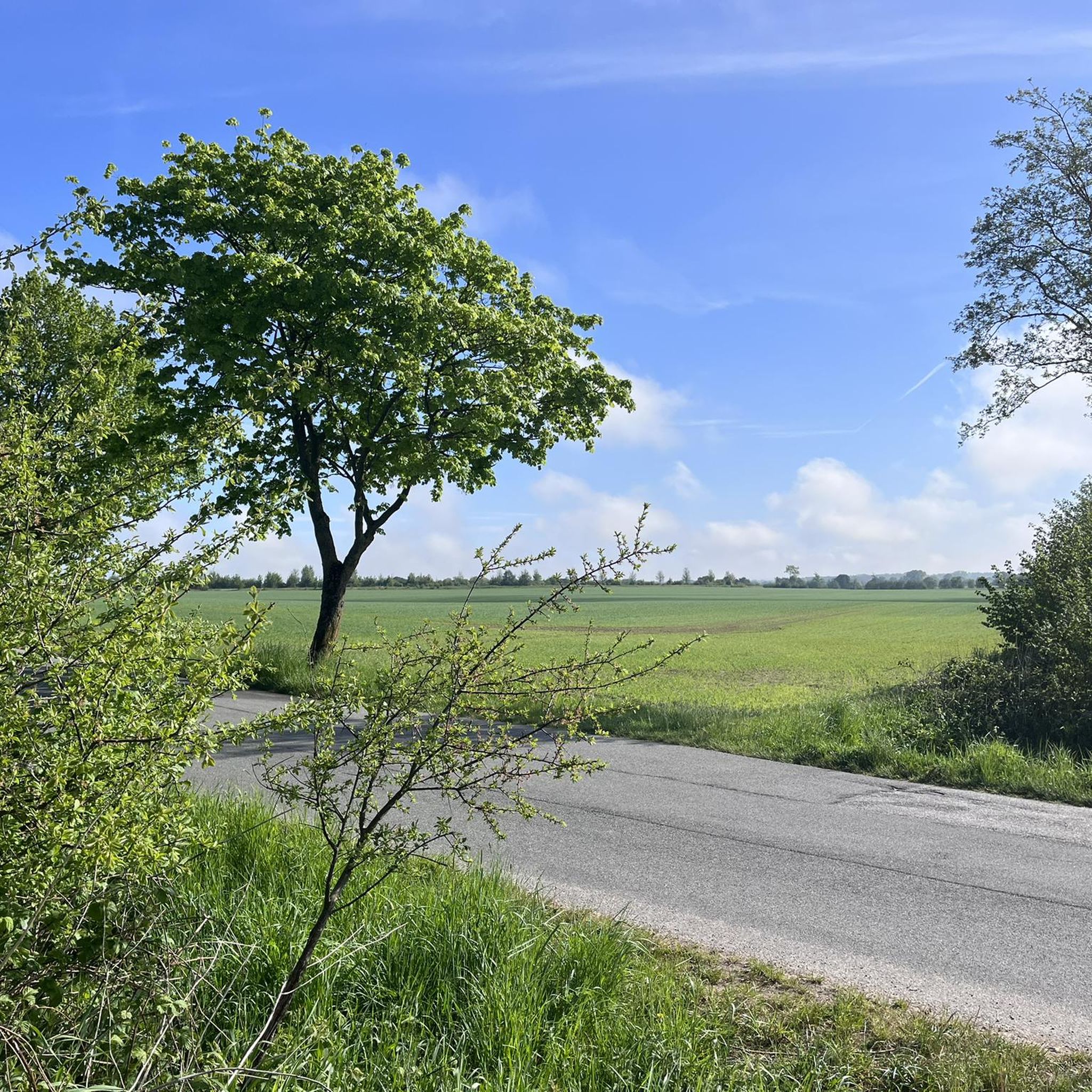
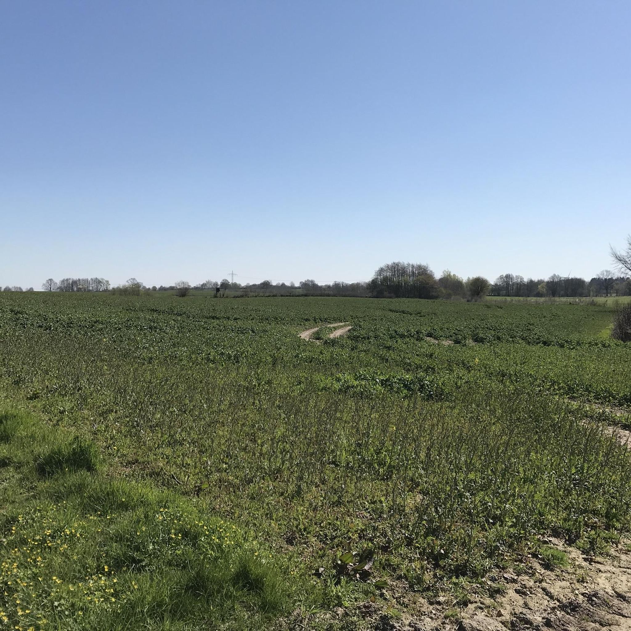
Tips from the Community

The Herrenteich Pond is located in the heart of the carp town of Reinfeld. It was artificially created in the 12th century by Cistercian monks as a reservoir for the Heilsau River for fish farming. Carp are still bred here today. A four-kilometer circular trail around the Lower Herrenteich invites you to discover this special ecosystem. 16 stations along the adventure trail offer fun and a nature experience in one, sharpening your awareness of the special features of this natural area. In summer, you can enjoy the cool water at the lido. See: https://tourismus-stormarn.de/de/naturerlebnis/herrenteich-reinfeld-5
2
0
The Herrenteich in Reinfeld is a popular tourist destination. The approximately 55-hectare body of water is divided into the upper and lower Herrenteich. The upper Herrenteich remains a recognized nature reserve. The lower Herrenteich is home to, among other things, a hiking trail and an outdoor pool in the summer. Due to melting snow, the Herrenteich flooded in early March 2010. A temporary dam erected at the time due to construction work threatened to no longer hold the water masses. A breach of the dam would have flooded the entire hinterland. The Hamburg/Lübeck railway embankment would also have been affected. See: https://www.thw-badoldesloe.de/aktuelles/aktuelle-meldungen/artikel/vor-10-jahren-hochwassereinsatz-am-herrenteich-fachgruppen-wasserschadenpumpen-verhindern-stauwe
2
1
The 3.7 km long trail leads along the partially wooded shore of the Herrenteich lake. The east and west banks are connected by a bridge at the "Fischhuser Damm"—north of this bridge begins the "Oberer Herrenteich" nature reserve. See: https://reinfeld-aktiv.de/tag/reinfeld/page/6/
4
1

The Ihlsee is located in the northwestern part of the district town of Bad Segeberg on the northern edge of the Kleinniendorf district and is part of the designated Ihlsee and Ihlwald nature reserve. The origin of the lake has not been fully investigated. Either the depression was formed after the Ice Age due to dead ice or it was created as a sinkhole by the collapse of a cave in the Segeberg salt dome. Today the lake has an area of around 29 hectares and stretches 450 m from north to south and around 850 m from west to east; the shore is 2.25 km long. Along with the Bültsee and the Garrensee, the lake is one of the few nutrient-poor lakes in Schleswig-Holstein. The lake is located in a depression and has no inflow. It is fed only by groundwater and inflowing surface water (precipitation). To the north of the bathing area is the outflow that connects the lake to the Great Segeberg Lake. The lake can be walked around, but there is no path along the lake. There is a bathing area on the eastern shore that has existed for decades. The bathing water quality is regularly monitored and in recent years has been rated as very good to good. There is a residential area on the northern shore. On the western and southern sides, the Ihlwald, a swamp forest, dominates the shoreline. From 1911 to 1961, there was a Kiel-Segeberg narrow-gauge railway station at Ihlsee, the tracks of which were removed in 1962. The Ihlsee was declared a nature reserve in 1950 because of its special features. The lake is a particularly nutrient-poor body of water, which gives rise to rare flora. Today, the lake is part of the Ihlsee and Ihlwald nature reserve and has been part of the Natura 2000 protected area network since 2006. https://de.wikipedia.org/wiki/Ihlsee
2
0

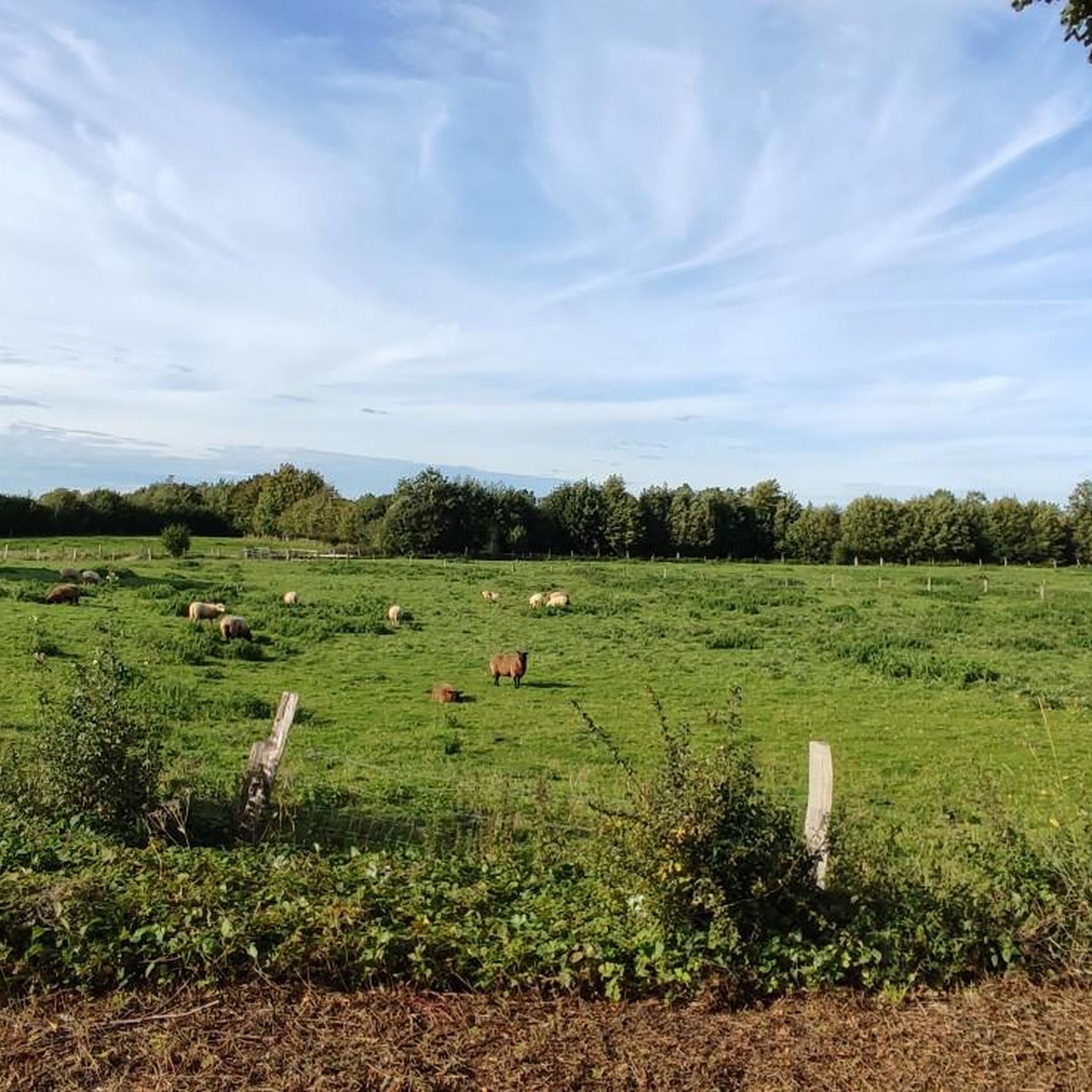
Nice walk around the pond! With lots of cozy spots.
5
0

This is the bridge at Fischhuser Damm. The name suggests that a dam must once have connected the banks of the Herrenteich pond here. In 1960, pioneers from the Eutin riot police erected the first wooden bridge, which was recently replaced by a new steel structure. The "Oberer Herrenteich" nature reserve lies to the north of the bridge.
3
0
The Brenner Moor is the largest inland salt marsh in Schleswig-Holstein. It is located in the district of Stormarn in the town of Bad Oldesloe in the Trave lowlands and has been declared a nature reserve. What is special about the Brenner Moor are the brine springs that rise from a depth of approx. 500 meters and have their origin in a salt band that presumably stretches from Segeberg via Tralau and Bad Oldesloe to Lübeck. The plant communities and the animal world of the Brenner Moor are shaped in a special way by the unique occurrence of salt springs inland. The salty environment attracts plants that are otherwise only found near the coast, e.g. B. rush (Juncus gerardii) and beach trident (Triglochin maritima). In some places the water has a salinity that corresponds to that of the North Sea. In less saline parts of the nature reserve, reed beds, among other things, grow. https://metropolregion.hamburg.de/kulturlandschaften/4471072/brenner-moor/
14
3

It should read: Reinfeld - Herrenteich. Reinbeck is wrong, Reinbek is in the south of Stormarn, near Hamburg
2
0
Frequently Asked Questions
What are some of the most popular natural monuments to visit around Weede?
Among the most popular natural monuments in the Weede area, visitors highly appreciate Kalkberg, Bad Segeberg, known for its panoramic views and unique geological formation as the only rock mountain in its vicinity. The Brenner Moor Nature Reserve is also a favorite, offering beautiful moor landscapes accessible via boardwalks. Additionally, the Wittenborn Heath Nature Reserve, a protected heathland, is well-loved for its natural beauty.
Are there family-friendly natural monuments in the Weede region?
Yes, several natural monuments around Weede are suitable for families. Kalkberg, Bad Segeberg, Brenner Moor Nature Reserve, Wittenborn Heath Nature Reserve, Herrenteich Reinfeld, and Lake Ihl are all categorized as family-friendly, offering diverse experiences from scenic views to nature walks.
What kind of natural features can I expect to see in Weede's natural monuments?
The natural monuments around Weede showcase a diverse range of features. You can explore unique geological formations like the rock mountain at Kalkberg, tranquil moor landscapes with boardwalks at Brenner Moor, and expansive heathlands at Wittenborn Heath. The region also features beautiful lakes such as Herrenteich Reinfeld and Lake Ihl, often surrounded by forests and offering scenic viewpoints.
Are there any historical or cultural sites among the natural monuments?
Yes, some natural monuments in the Weede area also have historical significance. Kalkberg, Bad Segeberg, for instance, is not only a natural landmark but also a historical site, known for its former anhydrite or gypsum mining. Herrenteich Reinfeld also holds historical elements alongside its natural beauty.
What outdoor activities can I do near these natural monuments?
The Weede region offers a variety of outdoor activities. You can enjoy gravel biking, cycling, and mountain biking on numerous routes. For example, explore routes like the 'Great Segeberg Lake – View of the Großer Segeberger See loop' or the 'Barker Heide Nature Reserve – heathland loop'. You can find more details on these activities and routes in the Gravel biking around Weede, Cycling around Weede, and MTB Trails around Weede guides.
Are there hiking trails near the natural monuments in Weede?
Absolutely. Many natural monuments in Weede are excellent for hiking. The Brenner Moor Nature Reserve features highly recommended hiking trails with boardwalks through reeds and waterholes. The area around Herrenteich Reinfeld also offers a lovely circular hiking trail with great views of the lake. For more hiking options, check the various cycling and MTB guides which often include paths suitable for walking.
What do visitors enjoy most about the natural monuments around Weede?
Visitors frequently praise the stunning views from places like Kalkberg, Bad Segeberg, especially on clear days. The serene and beautiful moor landscape of Brenner Moor Nature Reserve, with its accessible boardwalks, is also a highlight. Many appreciate the peaceful and relaxing atmosphere for walks, particularly around Herrenteich Reinfeld, which offers a mix of forest, meadow, and water.
Can I find viewpoints at the natural monuments in Weede?
Yes, several natural monuments offer excellent viewpoints. Kalkberg, Bad Segeberg provides fantastic panoramic views of Bad Segeberg and the surrounding area, including Lake Segeberg. Both Brenner Moor Nature Reserve and Herrenteich Reinfeld are also noted for their scenic vistas, allowing visitors to take in the natural beauty of the landscapes.
Are there any lakes or water bodies among Weede's natural monuments?
Yes, the Weede region features beautiful lakes that are considered natural monuments. Herrenteich Reinfeld is a popular lake with a scenic hiking trail around it. Lake Ihl is another significant lake, known for being a nutrient-poor body of water and part of a nature reserve, offering a unique ecosystem.
What is unique about the Kalkberg in Bad Segeberg?
The Kalkberg, Bad Segeberg is unique because it is the only rock mountain in its wider vicinity. Originally formed by anhydrite or gypsum mining, it lost some of its original height and mass but still offers fantastic views. It's also notable for the Kalkberg Caves and the Noctaris bat exhibition nearby.
What kind of nature reserves can I visit near Weede?
The Weede area is home to several significant nature reserves. The Brenner Moor Nature Reserve allows visitors to explore a beautiful moor landscape via boardwalks. The Wittenborn Heath Nature Reserve, a former training ground, is now a protected heathland within the European NATURA 2000 network. Additionally, Lake Ihl is part of the Ihlsee and Ihlwald nature reserve, known for its rare flora.
Most popular attractions around Weede

Get inspired with the komoot mobile app


Explore more
Extend your search for the best caves by checking out these guides of the top ones around Weede:
