Top 4 Mountain Passes around Grünbach
Best mountain passes around Grünbach are found in Lower Austria, near the Hohe Wand and Schneeberg. The region is known for diverse hiking and mountaineering opportunities, featuring "Sattel" (saddles) and "Steige" (climbing paths). These routes offer views and challenging terrain, serving as the primary mountain passes for exploration. Grünbach am Schneeberg is a destination for outdoor enthusiasts seeking varied routes.
Best mountain passes around Grünbach
- The most popular mountain passes is Loipen Bridge Mühleithen, a bridge and mountain pass…
Last updated: July 8, 2026
Mühlleithen Pass
Highlight • Mountain Pass
Translated by Google •
Tip by

Loipen Bridge Mühleithen
Highlight • Bridge
Translated by Google •
Tip by

Sign up now to discover places like this
Get recommendations on the best single tracks, peaks, & plenty of other exciting outdoor places.
Sign up for free
Gopplasgrüner Höhe Pass
Highlight • Mountain Pass
Translated by Google •
Tip by

Pass on Cycle Route 23
Highlight • Mountain Pass
Translated by Google •
Tip by

Start today with a free account
Your next adventure awaits.
Login or Signup
Popular around Grünbach
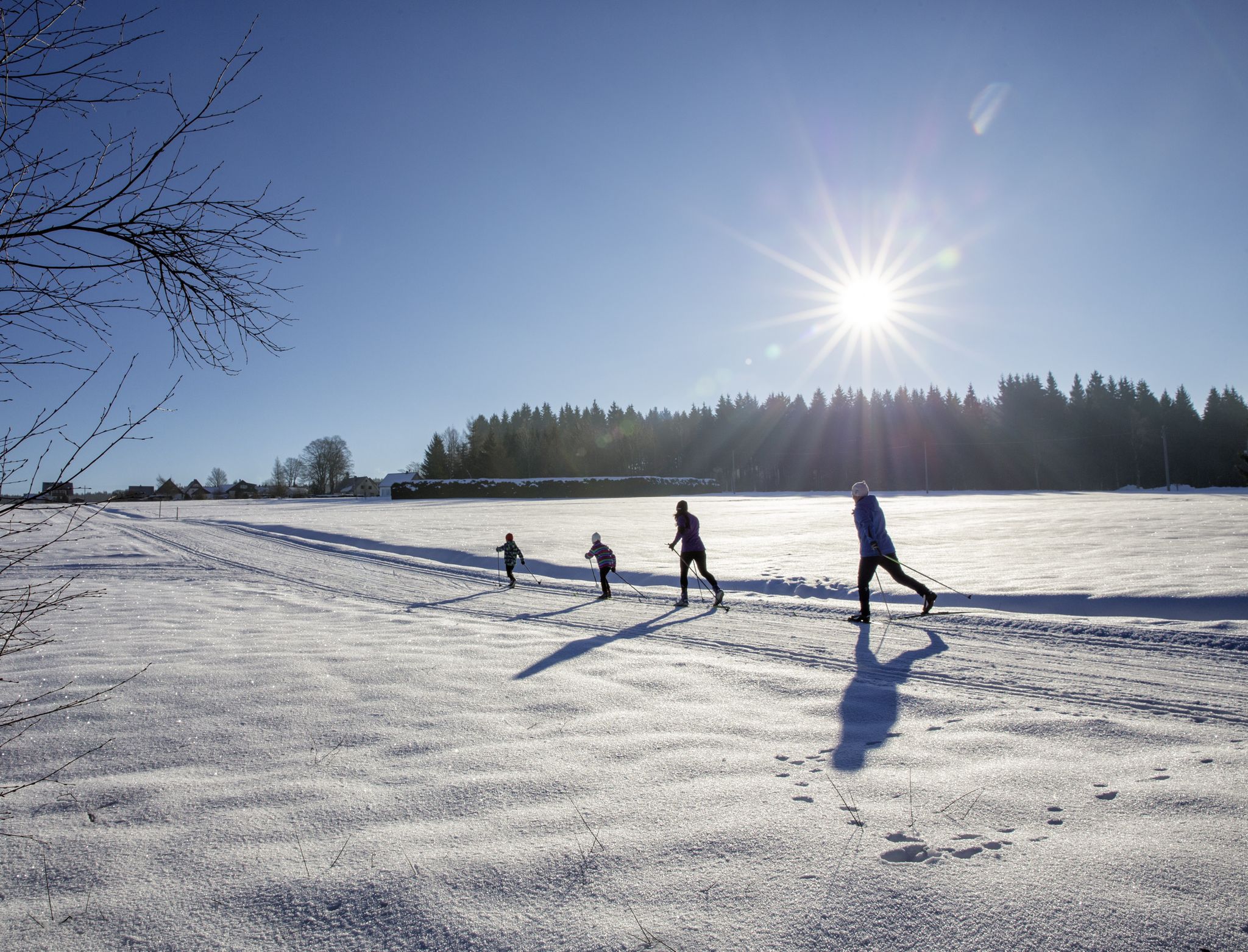
A snowy paradise – winter hiking and cross-country skiing in Germany’s Vogtland
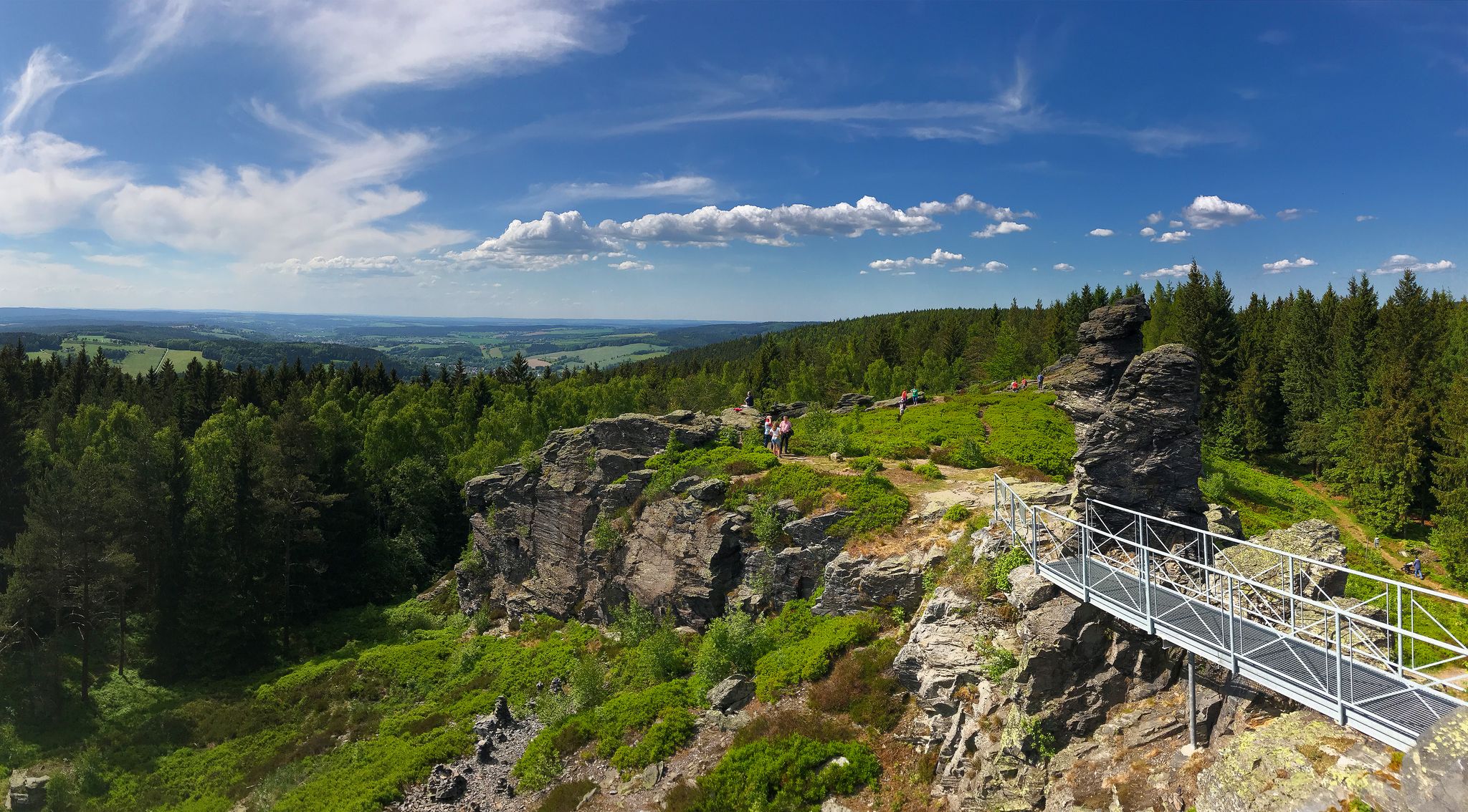
Experience the sounds of nature — hikes in the Vogtland Region
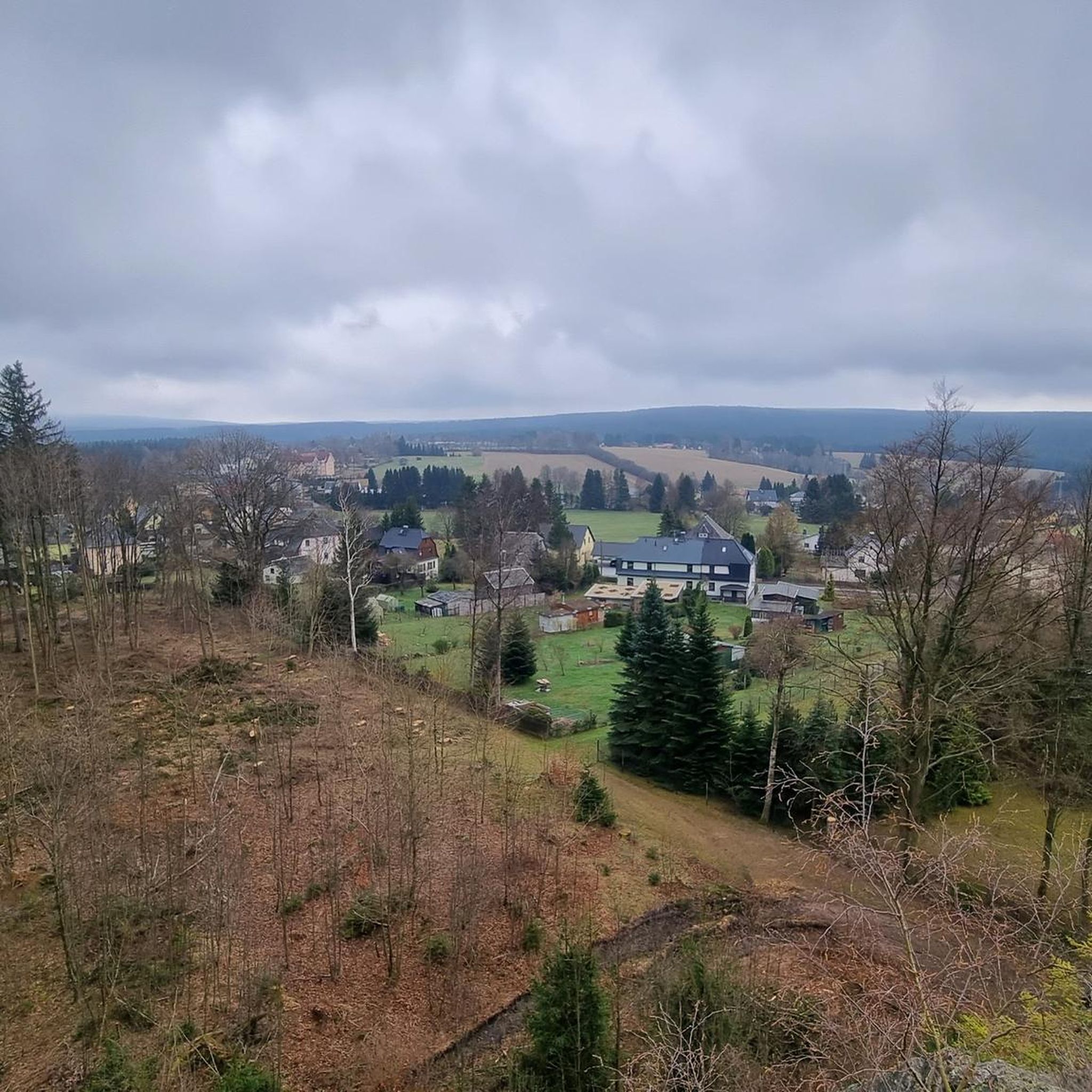
Hiking around Grünbach
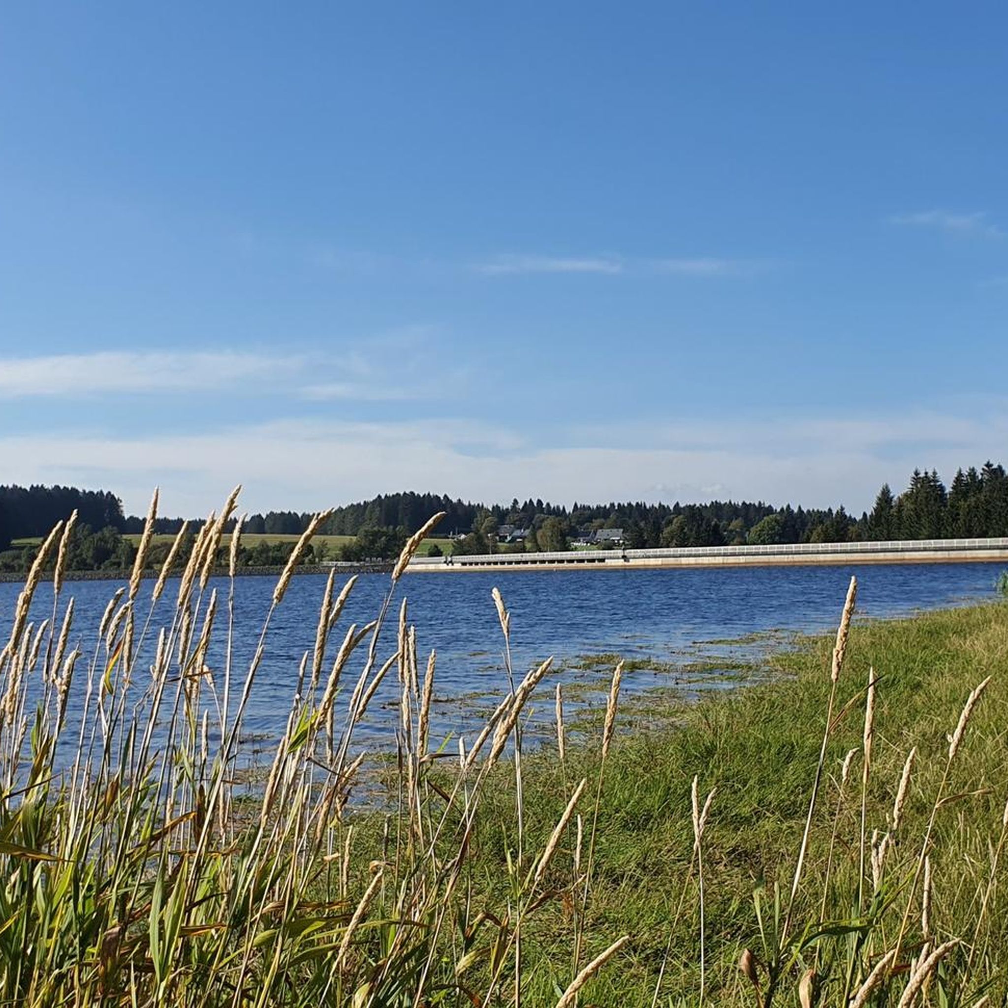
Cycling around Grünbach
MTB Trails around Grünbach
Gravel biking around Grünbach
Road Cycling Routes around Grünbach
Running Trails around Grünbach

Tips from the Community

Really good junction for hiking, in winter also connection to the cross-country ski trail (Attention: Very high difficulty level!) However, the signage is not so good. So it's better to check the map one more time 😁
0
0

If you don't want to cross the road directly, the bridge is a better alternative.
0
0

Intended for cross-country skiing.
0
0

Here again a good choice of route.
1
0
Pass summit between Markneukirchen and Klingenthal
0
0

At the foot of the bridge in the direction of the village is a Royal Saxon half-milestone on the B283. "In the Kingdom of Saxony, the preparations for the introduction of the metric system were carried out in connection with the work of the Normal Aichungscommission and the related leading work by Albert Christian Weinlig and Julius Ambrosius Hülsse. ... After a new measurement in 1858, between 1859 and 1865 a new system of Milestones – the Royal Saxon milestones in the form of station, whole mile, half mile, junction and border crossing stones – were created (from 1840: 1 mile = 7.5 km) These became partial after the introduction of the metric system around 1900 redesigned into kilometer, highway, corridor boundary or road keeper stones." - https://de.wikipedia.org/wiki/course%C3%A4chsische_Postmeilens%C3%A4ule#Nachfolger
3
0

If you arrive high up here from Klingenthal as a hiker or cyclist, you can rightly take a short break and catch your breath.
1
0

The Kammweg runs here at the top of the pass, 860 m above sea level in Mühlleithen. Since the road is very busy here, a pedestrian bridge was built in 2006 so that hikers can cross the road safely. Cyclists also use the road, as a main cycle path leads along here.
1
0
Frequently Asked Questions
What kind of mountain passes can I expect to find around Grünbach?
Around Grünbach, the term "mountain passes" often refers to scenic "Sattel" (saddles) and challenging "Steige" (climbing paths or trails) rather than traditional vehicular passes. These routes, like the Grünbacher Sattel, Wagnersteig, Springlessteig, and Gebirgsvereinssteig, offer diverse hiking and mountaineering opportunities with breathtaking views.
Are there any specific mountain passes that are good starting points for hikes?
Yes, the Grünbacher Sattel is a significant starting point for various hiking routes, including a circular route that leads over the terrain and Rastkreuzsattel to the Hubertushaus. Another excellent starting point is Mühlleithen Pass, which features a large hiking car park and serves as a gateway to tours like the one to the Aschbergturm.
What are some of the more challenging climbing paths in the Grünbach area?
For those seeking a challenge, the region offers several demanding climbing paths. The Wagnersteig is a secured climbing path known for its exposed sections, requiring sure-footedness and a good head for heights. The Gebirgsvereinssteig is a modern via ferrata of advanced intermediate difficulty (C-D), featuring very steep, strenuous, and exposed sections with great views.
Are there any family-friendly mountain passes or routes suitable for families around Grünbach?
While many routes offer varying difficulty, the region provides options that can be adapted for different fitness levels. Some circular hikes from the Grünbacher Sattel are relatively relaxed. Additionally, Loipen Bridge Mühleithen is categorized as family-friendly and offers amenities like a ski hut and summer toboggan run, making it a good destination for families.
What kind of views can I expect from the mountain passes in Grünbach?
The trails and passes around Grünbach offer spectacular panoramas. You can expect breathtaking views of the Schneeberg, the Gländ, the Hohe Wand itself, and the lush green hills below. Many routes, including the Gebirgsvereinssteig, are noted for their excellent vistas.
What is the best time of year to visit the mountain passes around Grünbach?
The region's natural beauty, with its green meadows and dense forests, is particularly vibrant in spring, summer, and autumn. These seasons generally offer the most favorable weather conditions for hiking and exploring the passes and climbing paths.
Are there any mountain passes that are also popular for cycling?
Yes, the Pass on Cycle Route 23 is specifically noted as a mountain pass on a cycle path, offering ascents and descents for cyclists. Additionally, Loipen Bridge Mühleithen is also part of a cycle way.
Where can I park when visiting the mountain passes near Grünbach?
There is a large hiking car park directly at the Mühlleithen Pass, which is a convenient starting point for many tours. While this car park is subject to a fee, it allows you to begin your adventures from a higher elevation.
What outdoor activities can I do near these mountain passes?
Beyond exploring the passes themselves, the Grünbach area offers a wide range of outdoor activities. You can find numerous running trails, cycling routes, and MTB trails. These include routes of varying difficulties, from easy loops to challenging long-distance rides.
What do visitors enjoy most about the mountain passes and trails in Grünbach?
Visitors frequently appreciate the spectacular panoramas, the diverse difficulty levels of the routes catering to various experience levels, and the unique natural beauty of the region. The accessibility of Grünbach and the integration of routes with local amenities like huts for rest and refreshment are also highly valued.
Are there any passes that mark significant geographical points?
Yes, the Gopplasgrüner Höhe Pass marks the highest point between Markneukirchen and Zwota, serving as the start of a trail. Similarly, the Loipen Bridge Mühleithen is recognized as the highest road pass in the Vogtland region.
Most popular routes around Grünbach
Most popular attractions around Grünbach

Get inspired with the komoot mobile app


Explore more
See even more epic mountain passes by checking out these guides around Grünbach:
