Top 18 Natural Monuments around Warringholz
Best natural monuments around Warringholz include a variety of natural and historical sites. The region features 18 natural monuments, offering diverse landscapes for exploration. These sites range from geological formations to ancient historical landmarks. The area provides opportunities to observe local ecosystems and historical remnants.
Best natural monuments around Warringholz
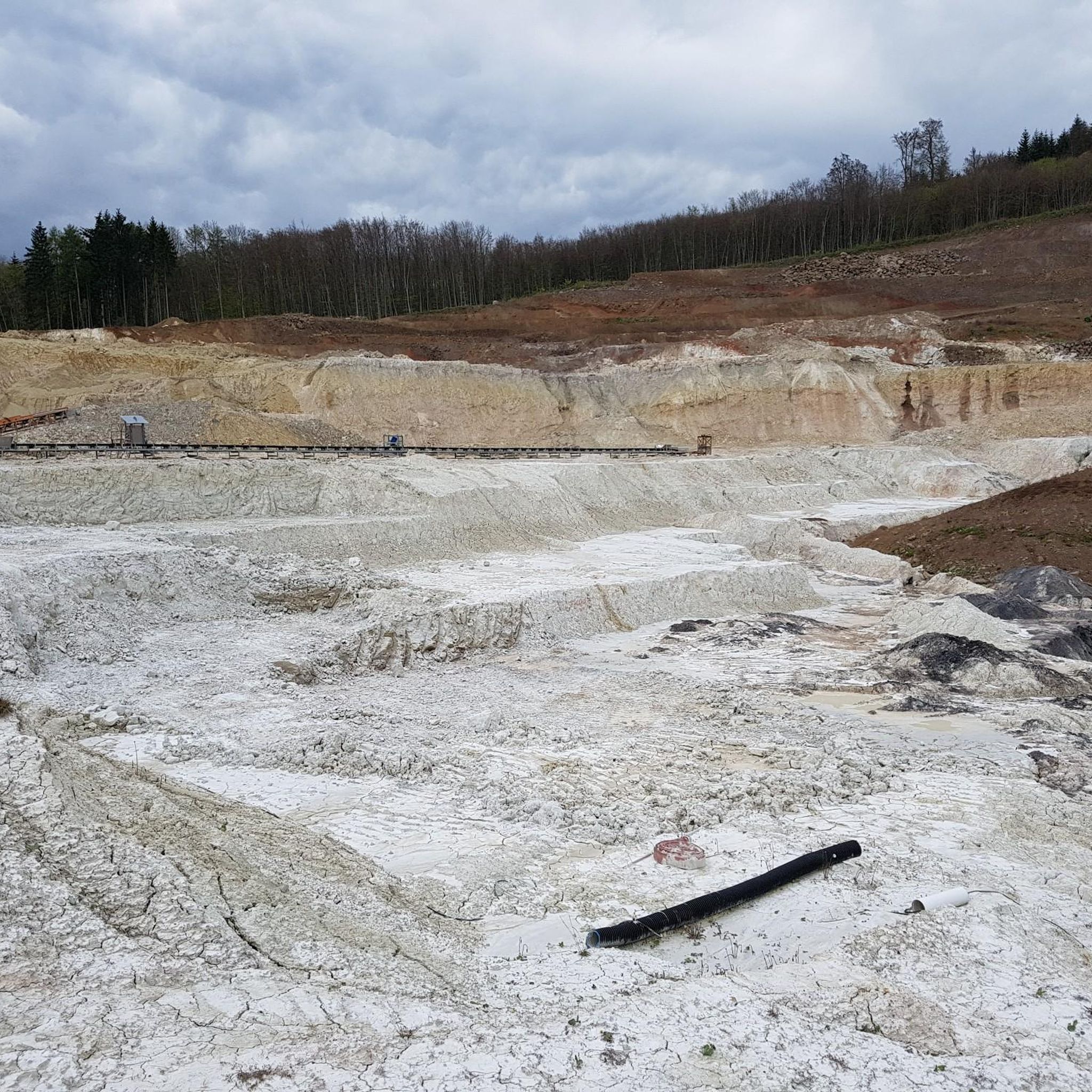
- The most popular natural monuments is Muldsberg Clay Pit Lake, a lake that formed in a former clay mining pit. Since 2004, the pit has been filling with groundwater,…
Last updated: August 18, 2026
Muldsberg Clay Pit Lake
Highlight • Lake
The mining in the …
Translated by Google •
Tip by

Kaaksburg Ringfort
Highlight • Historical Site
Translated by Google •
Tip by

Sign up now to discover places like this
Get recommendations on the best single tracks, peaks, & plenty of other exciting outdoor places.
Sign up for free
Polders of the Haaler Au
Highlight (Segment) • Lake
Translated by Google •
Tip by

Jahrsdorf Burial Mound
Highlight • Historical Site
Translated by Google •
Tip by

The Blocksberg Vaale
Highlight • Natural Monument
The Blocksberg can only be seen from afar, the game needs its rest
Translated by Google •
Tip by

Sign up for free to discover even more natural monuments around Warringholz.
Sign up for free
Already have an account?
Start today with a free account
Your next adventure awaits.
Login or Signup
Tips from the Community


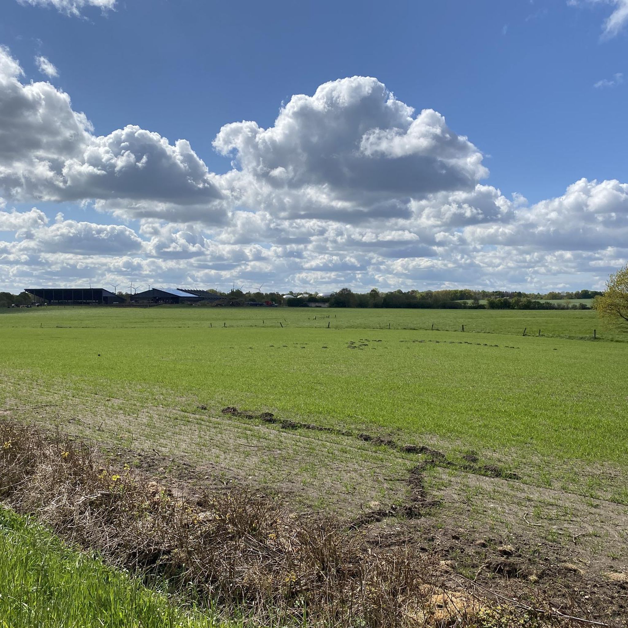
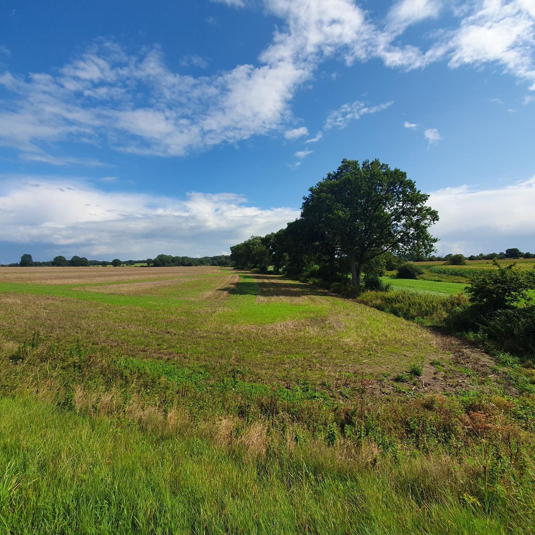
Here, you have to bypass a pasture. The grass is extremely high, and the path itself is barely visible. This requires a good feel for the road, leg strength, and a good dose of intuition.
0
0

The ring wall castle 'Kaaksburg' dates back to the 8th or 9th century. Its oldest known documentary mention dates from 1560-1576. The oval ring wall with a diameter of 80 or 100 m and a height of around 5 m was raised from dark earth, while the ground in the surrounding area is sandy, which is why it was assumed that the material came from the Bekau, which flows past in the southeast. At that time, the Bekau was navigable at least as far as the castle and was influenced by the tides until it was embanked; the area around the castle was still swampy and marshy at that time and was occasionally flooded. It was therefore assumed that the castle was built in this strategically favorable position to control the waterway. According to a folk legend, it once served as a base for pirates - sometimes Klaus Störtebeker is mentioned. While the country road between Itzehoe and Schenefeld used to bypass the ring wall to the east, today's L 127 runs right through the ring. https://de.wikipedia.org/wiki/Kaaksburg
1
0

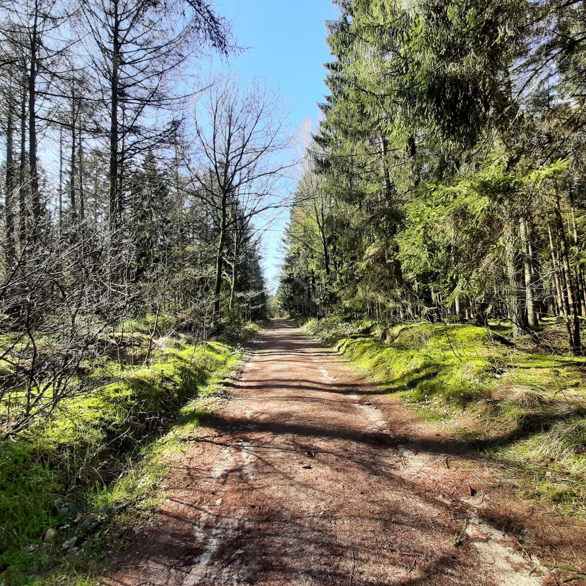
From August to September you can admire the beautiful heather blossom here.
0
0

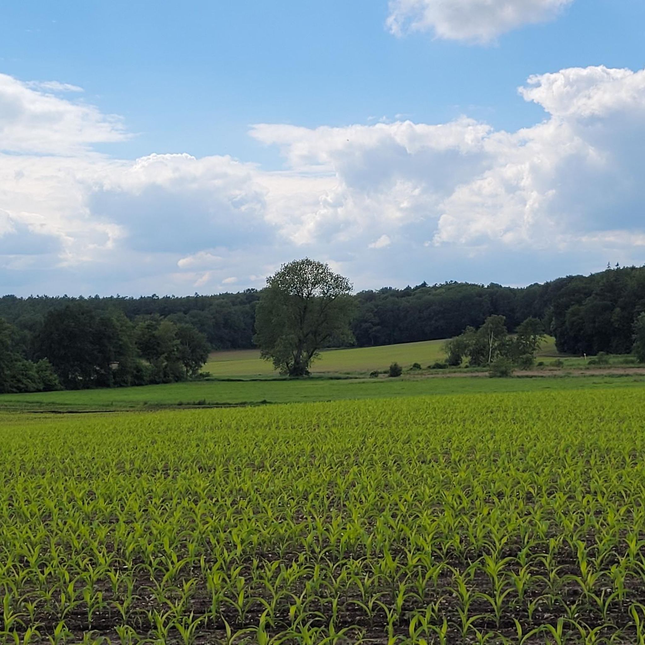
The barrow near Jahrsdorf is the relic of an old settlement history. Jahrsdorf was first mentioned in a document in 1149 as “Geresthorp”. The barrows, however, show that the region around Jahrsdorf was settled 6,000 to 7,000 years ago. Two strikingly solitary trees in the field indicate the location of the burial mound.
2
0

I hope I found the right place on the map afterwards. The Blocksberg can only be seen from afar, the game needs its rest
0
0

The Kaaksburg was a Saxon ring wall that was built around the year 800. It had a diameter of 80 m and 4 m high earth walls. The castle complex was intended to secure a trade route across the Bekau. Today, a wide street runs through the middle of the castle complex and cuts the ring wall in two. Right next to the castle is a rest area with a snack bar.
0
0
To the right and left of the path there are burial mounds from time to time.
0
0
Frequently Asked Questions
What unique natural features can I explore around Warringholz?
The Warringholz area offers diverse natural features. You can visit the Muldsberg Clay Pit Lake, a former clay mining pit that has transformed into a biotope with a 5 km circular route. Another significant area is the Polders of the Haaler Au, a lake and river system providing habitat for various animals, including pygmy swans during migration.
Are there any significant historical natural monuments in the Warringholz area?
Yes, the region features several historical natural monuments. You can explore the Krinkberg Bronze Age Burial Mounds, which offer a glimpse into ancient history. Another archaeological monument is the Jahrsdorf Burial Mound, indicating settlement from 6,000 to 7,000 years ago. Additionally, the Kaaksburg Ringfort, an 8th or 9th-century Saxon ring wall, is also a notable historical site.
What do visitors particularly enjoy about the natural monuments near Warringholz?
Visitors appreciate the variety of landscapes and the opportunities for recreation. The Muldsberg Clay Pit Lake is highlighted for its transformation into a biotope and its circular route, perfect for hiking in any season. The historical sites like the burial mounds are valued for their ancient heritage. The komoot community has shared over 14 photos and given more than 100 upvotes for these natural monuments.
Is there a particularly notable natural monument in the Steinburg district near Warringholz?
Yes, Warringholz is home to an impressive copper beech (Rotbuche), known as Naturdenkmal NIK 6595. This ancient tree is estimated to be around 250 years old and is considered the strongest known beech in the entire Steinburg district, standing on a traditional 'Knick' (hedgerow).
Are there opportunities for hiking or walking around the natural monuments?
Absolutely. The Muldsberg Clay Pit Lake features a five-kilometer circular route ideal for walking. For more extensive hiking, you can explore various trails in the area. You can find detailed hiking routes around Warringholz on the Natural Monuments around Warringholz guide page.
What other outdoor activities can I do near the natural monuments of Warringholz?
Beyond walking, the Warringholz area offers various cycling opportunities. You can find numerous road cycling routes, such as the 'Lowest Point in Germany – Grünental High Bridge loop', by checking the Road Cycling Routes around Warringholz guide. For mountain biking enthusiasts, there are trails like the 'Fisher's Hut Ferry – Hohenhörn High Bridge loop' available in the MTB Trails around Warringholz guide. Gravel biking options are also available, including routes like the 'Historic Drage Manor – Hungriger Wolf Airfield loop' in the Gravel biking around Warringholz guide.
Are there family-friendly trails or natural monuments suitable for children?
Yes, several natural monuments are suitable for families. The Muldsberg Clay Pit Lake with its circular route is considered family-friendly. The historical sites like the Krinkberg Bronze Age Burial Mounds and the Kaaksburg Ringfort can also be interesting for children, offering a blend of nature and history.
What is the best time of year to visit the natural monuments around Warringholz?
The natural monuments around Warringholz can be enjoyed throughout the year. The Muldsberg Clay Pit Lake is noted as wonderful for hiking in every season. For wildlife spotting, particularly pygmy swans, visiting the Polders of the Haaler Au in February/March during their migration can be especially rewarding.
Are there circular routes available for exploring the natural monuments?
Yes, the Muldsberg Clay Pit Lake offers a well-established five-kilometer circular route with resting places, perfect for a leisurely walk or hike around the water and its developing biotope.
Can I spot any wildlife at the natural monuments?
Yes, wildlife spotting is possible, especially at the Polders of the Haaler Au, which serve as a habitat for many animals. Pygmy swans use these polder areas as a resting place during their migration in February/March. The Muldsberg Clay Pit Lake is also developing into a biotope, and visitors have noted a small cormorant population there.
What is the terrain like for walking and hiking around Warringholz's natural monuments?
The terrain varies depending on the specific monument. For instance, the circular route around Muldsberg Clay Pit Lake is generally accessible. However, some areas, like parts of the Polders of the Haaler Au, might involve bypassing pastures with high grass and less visible paths, requiring a good sense of direction and sturdy footwear.
How long does it typically take to explore the natural monuments?
The time required depends on which natural monument you visit and how thoroughly you wish to explore. A walk around the Muldsberg Clay Pit Lake's 5 km circular route might take 1-2 hours. Visiting the historical burial mounds or the Kaaksburg Ringfort could be shorter stops, while combining several sites or engaging in longer cycling routes would extend your visit significantly.
Most popular routes around Warringholz
Most popular attractions around Warringholz

Get inspired with the komoot mobile app


Explore more
Extend your search for the best caves by checking out these guides of the top ones around Warringholz:
