Top 20 Natural Monuments around Diethardt
Best natural monuments around Diethardt offer diverse landscapes within the "Blauen Ländchen" region, providing opportunities for outdoor exploration. The area features scenic hiking trails, including those along the local Klausbachtal. Visitors can experience the tranquility and charm of the German countryside, with a focus on natural attractions and recreational activities. This region is known for its varied natural landmarks and viewpoints.
Best natural monuments around Diethardt
- The most popular natural monuments is View of Burg Katz, Burg Maus, and Burg Rheinfels (Dreiburgenblick), a viewpoint that offers a panoramic perspective of three historic castles. An information board provides details about the castles and the surrounding Middle Rhine Valley.
- Another must-see spot is Felsenkanzel Viewpoint Overlooking the Rhine and the Loreley, a viewpoint with views along the Rhine towards Oberwesel and the Loreley rock. Visitors can enjoy extensive views of the Middle Rhine Valley from this location.
- Visitors also love Werkerbrunnen, a covered fountain on the Sauerbornbach. This natural monument features iron-containing water that has been used as medicinal water since the 18th century, with a brick surround dating from the same period.
- Diethardt is known for its viewpoints, historical sites, and unique rock formations. The region offers a variety of natural monuments to see and explore, from scenic overlooks to geological features.
- The natural monuments around Diethardt are appreciated by the komoot community, with more than 1200 upvotes and over 800 photos shared by visitors.
Last updated: June 24, 2026
Loreley Statue on the Rhine
Highlight • Monument
The Middle Rhine river bed, which is still 300 meters wide above the Kammereck, is narrowed to 145 meters by the rock barriers just above the Loreley, at the Betteck. At the Loreley itself, the Rhine was 160 meters wide and up to 25 meters deep. These are the narrowest and deepest parts of the Rhine in its navigable section. On the other hand, the two river banks directly downstream, at the Loreley harbor, diverge like a trough for a short stretch of up to 400 meters. At Sankt Goar and Sankt Goarshausen the stream is usually 250 meters wide. The Rhine winds through the rock massif in tight curves. Because of these very tight curves and strong currents, navigation on the Rhine from the Bankeck in Sankt Goar to Oberwesel is regulated by light signals.
Translated by Google •
Tip by

Werkerbrunnen
Highlight • Natural Monument
Small signs everywhere warn of CO2 emissions in the well system. So one should be careful when going down the stairs to the fountain.
The well house is very well ventilated, you should be careful when you lean over the two well basins. If you look closely, you can see the CO2 escape (bubble formation).
Translated by Google •
Tip by

Sign up now to discover places like this
Get recommendations on the best single tracks, peaks, & plenty of other exciting outdoor places.
Sign up for free
View of Burg Katz, Burg Maus, and Burg Rheinfels (Dreiburgenblick)
Highlight • Viewpoint
Translated by Google •
Tip by

Dinosaur Rock
Highlight • Natural Monument
Translated by Google •
Tip by

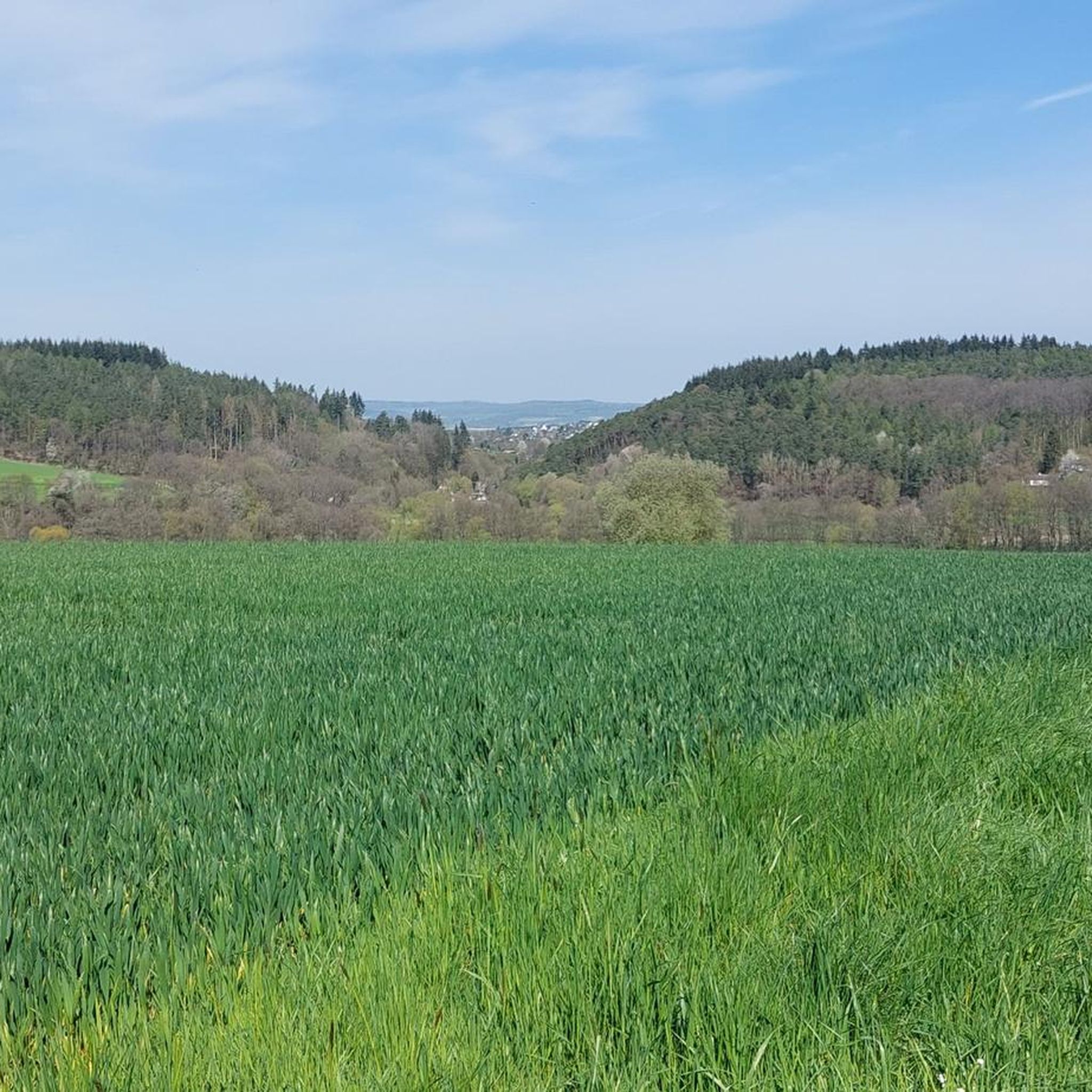
"Wild-Weibchens-Ley" cave
Highlight • Cave
Translated by Google •
Tip by

Sign up for free to discover even more natural monuments around Diethardt.
Sign up for free
Already have an account?
Start today with a free account
Your next adventure awaits.
Login or Signup

Tips from the Community

Beautiful place... but not without its dangers right now because of the fallen leaves... watch out!
9
0

You can reach the vantage point either via a steep climb from St. Goarshausen or via an easy footpath from Patersberg. There you can park your car at the bus stop turning point and enjoy the view after a few hundred meters without much effort.
5
0

From the pavilion you have a wonderful view of Katz Castle to the left, Rheinfels Castle diagonally opposite on the left bank of the Rhine and Maus Castle with its transmission mast to the right.
5
0

Here, where the "Wild Woman" lived according to old legends, you will find a cave with rugged rock formations made of slate. A lovely place for a little rest.
1
0

From here you can see three castles.
4
0

Nice rest area in the cool shade before a steep climb. Gather strength.
3
1

The climb is worth it. The view is wonderful. There are few shady sections on the way there, so the cottage is a nice rest stop for a break.
5
0

Again a beautiful point, with many opportunities for a beautiful photo.
8
0
Frequently Asked Questions
What unique natural features can I explore around Diethardt?
The Diethardt area, situated within the "Blauen Ländchen" region, offers diverse natural features. You can discover the unique shale formations at Dinosaur Rock, which resemble a Stegosaurus. Another interesting site is the Werkerbrunnen, a covered fountain known for its iron-containing medicinal water used since the 18th century. Additionally, the local Klausbachtal provides scenic hiking experiences along its stream.
What kind of views can I expect from the natural monuments in the Diethardt area?
The region is rich in stunning viewpoints. From View of Burg Katz, Burg Maus, and Burg Rheinfels (Dreiburgenblick), you get a fantastic panoramic perspective of three historic castles and the Middle Rhine Valley. The Felsenkanzel Viewpoint Overlooking the Rhine and the Loreley offers extensive views along the Rhine towards Oberwesel and the famous Loreley rock. Dinosaur Rock also provides a wonderful view of the Sauerborntal.
Are there family-friendly natural monuments around Diethardt?
Yes, several natural monuments are suitable for families. The Werkerbrunnen, with its historical significance and interesting water, is considered family-friendly. The View of Burg Katz, Burg Maus, and Burg Rheinfels (Dreiburgenblick) is also a great spot for families, offering an information board about the castles and a gazebo for breaks.
Are there any historical or cultural sites integrated with the natural monuments?
Absolutely. The Werkerbrunnen is a natural monument with significant historical context, as its iron-containing water has been used medicinally since the 18th century, and its brick surround dates from the same period. Additionally, the View of Burg Katz, Burg Maus, and Burg Rheinfels (Dreiburgenblick) offers a natural viewpoint combined with the rich history of three prominent castles in the Middle Rhine Valley.
What outdoor activities can I do near the natural monuments in Diethardt?
The Diethardt area is excellent for outdoor activities, especially hiking and cycling. You can find numerous routes for different sports. For hiking, consider trails like the "Path of the Trees – Mühlbach Spring loop from Diethardt" or the "Gasthaus Zum Grünen Baum – Algenroth Village Chapel loop." Cyclists can explore routes such as the "Pfalzgrafenstein Castle – Wisper Valley loop from Nastätten" for road cycling or the "View from Marienfels – Hauserbachsee loop from Niedermeilingen" for touring. You can find more details on these and other routes in the hiking guide and cycling guides for Diethardt.
Are there hiking trails available near Diethardt's natural monuments?
Yes, there are many hiking trails that allow you to explore the natural beauty around Diethardt. The region is known for its picturesque trails, including those along the local Klausbachtal. You can find routes like the "Path of the Trees – Mühlbach Spring loop from Diethardt" (moderate, 11.5 km) or the "Shelter at the Glider Airfield – Schwaller Spring loop from Waldparkplatz" (easy, 5.7 km). For more options, refer to the hiking guide for Diethardt.
What kind of terrain and difficulty can I expect on trails near Diethardt's natural monuments?
The hiking trails around Diethardt offer varied terrain and difficulty levels. You can find easy routes, such as the "Shelter at the Glider Airfield – Schwaller Spring loop," which is about 5.7 km. Moderate trails like the "Path of the Trees – Mühlbach Spring loop" (11.5 km) are also available. Some areas, like the path leading to the Felsenkanzel Viewpoint, might involve a short, steep descent. The "Wild-Weibchens-Ley" cave area can be challenging due to rugged slate formations and potentially slippery conditions from fallen leaves.
What makes the natural monuments around Diethardt particularly appealing to visitors?
Visitors appreciate the natural monuments around Diethardt for their scenic beauty and the opportunities they provide for outdoor recreation. The area offers a chance to immerse oneself in the tranquility and charm of the local German countryside, with diverse landscapes in the "Blauen Ländchen" region. The viewpoints, like the Felsenkanzel, are highly praised for their extensive views of the Middle Rhine Valley, and historical sites like the Werkerbrunnen add a unique cultural dimension.
Are the natural monuments around Diethardt suitable for dog owners?
Generally, the natural areas and hiking trails around Diethardt are suitable for dog owners, offering plenty of space for walks. While specific dog-friendly amenities might vary, the overall natural environment, including the Klausbachtal and the "Blauen Ländchen" region, provides ample opportunities for you and your dog to enjoy the outdoors. Always ensure your dog is on a leash where required and respect local wildlife.
What is the best time of year to visit the natural monuments in Diethardt?
The natural monuments around Diethardt can be enjoyed throughout much of the year. Spring and autumn offer pleasant temperatures for hiking and vibrant scenery, with blooming flowers or colorful foliage. Summer is also popular for outdoor activities, though it can be warmer. Even winter can be beautiful, especially if you enjoy crisp air and potentially snow-covered landscapes, though some trails might be more challenging due to conditions.
Where can I find parking when visiting natural monuments around Diethardt?
Parking facilities for hikers and visitors are generally available near popular trailheads and natural attractions in the Diethardt region. For specific natural monuments or starting points for hikes, it's advisable to look for designated parking areas or small parking lots, often found at the beginning of trails or near villages. For example, the "Shelter at the Glider Airfield – Schwaller Spring loop" starts from a Waldparkplatz (forest parking lot).
Are there places to eat or stay near the natural monuments in Diethardt?
Yes, Diethardt and the surrounding villages in the "Blauen Ländchen" region offer options for dining and accommodation. You can find local cafes, pubs, and restaurants for refreshments, and various hotels or guesthouses for overnight stays. For instance, the "Gasthaus Zum Grünen Baum" is mentioned as a starting point for a hiking loop, indicating local amenities are available.
Most popular attractions around Diethardt

Get inspired with the komoot mobile app


Explore more
Extend your search for the best caves by checking out these guides of the top ones around Diethardt:
