Top 20 Natural Monuments around Donauwörth
Best natural monuments around Donauwörth include a variety of geological features and riverine landscapes. Donauwörth is situated at the confluence of the Wörnitz and Danube rivers, defining much of its natural character. The region features sites with geological significance, such as formations impacted by ancient meteorite events. These locations offer diverse natural environments for exploration.
Best natural monuments around Donauwörth
- The most popular natural monuments is Bockberg: Summit Cross and View over the Ries Crater, a summit that offers…
Last updated: July 8, 2026
Confluence of the Wörnitz and Danube
Highlight • River
Translated by Google •
Tip by

Confluence of Lech and Danube
Highlight • River
Translated by Google •
Tip by

Sign up now to discover places like this
Get recommendations on the best single tracks, peaks, & plenty of other exciting outdoor places.
Sign up for free
Prälatenweiher
Highlight • Lake
This artificial pond originally served the monks of the Mönchsdeggingen monastery for fish farming.
Translated by Google •
Tip by

Bockberg: Summit Cross and View over the Ries Crater
Highlight • Summit
Translated by Google •
Tip by
Graisbach Castle Ruins
Highlight • Castle
Translated by Google •
Tip by

Sign up for free to discover even more natural monuments around Donauwörth.
Sign up for free
Already have an account?
Start today with a free account
Your next adventure awaits.
Login or Signup
Popular around Donauwörth

Augsburger Jakobsweg – Through Bavarian-Swabia

The Romantic Road – To the Pearls of Southern Germany
The Danube Cycle Path – From Donaueschingen to Budapest
Cycle back in time in the Donau-Ries region
Breathe in the mountain air – long-distance cycle paths in the Swabian Alb
Cycle touring trio in the Swabian Alb
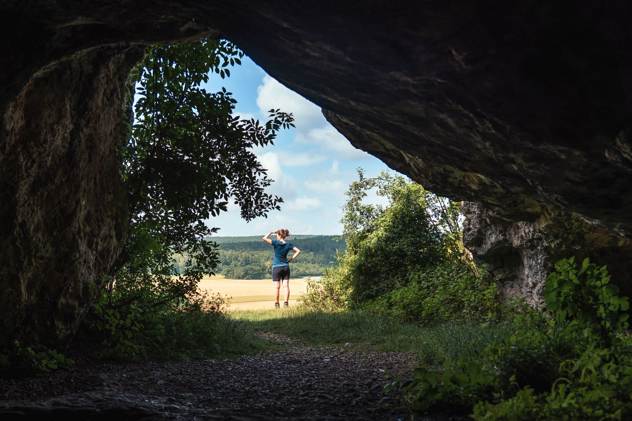
Historic and exciting – hiking in the DONAURIES holiday region
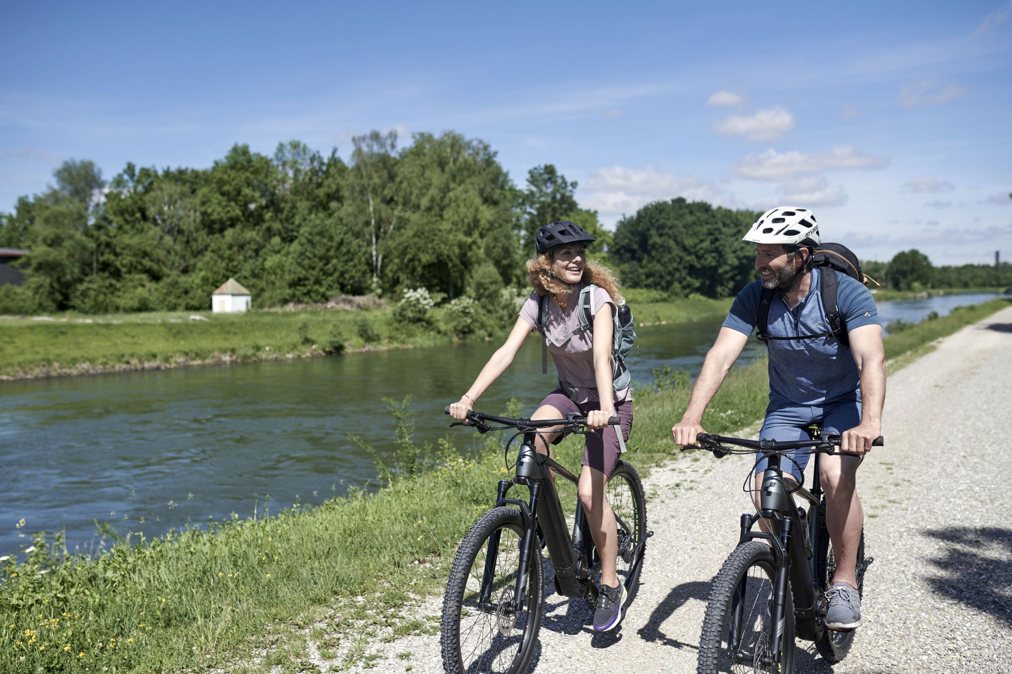
From River to River: Cycling in Bavarian Swabia
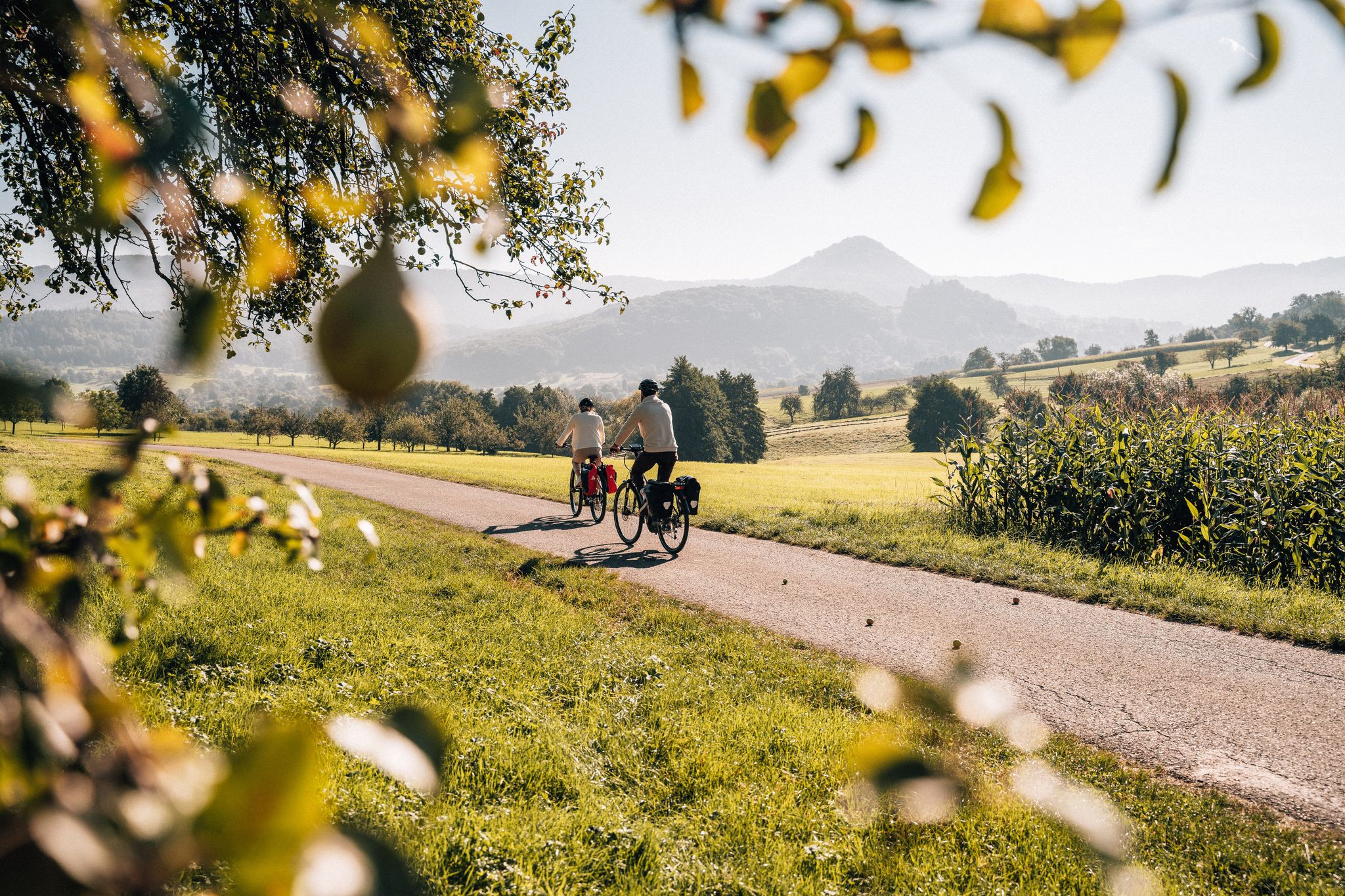
Cycle the Swabian Alb Cycle Path to Lake Constance
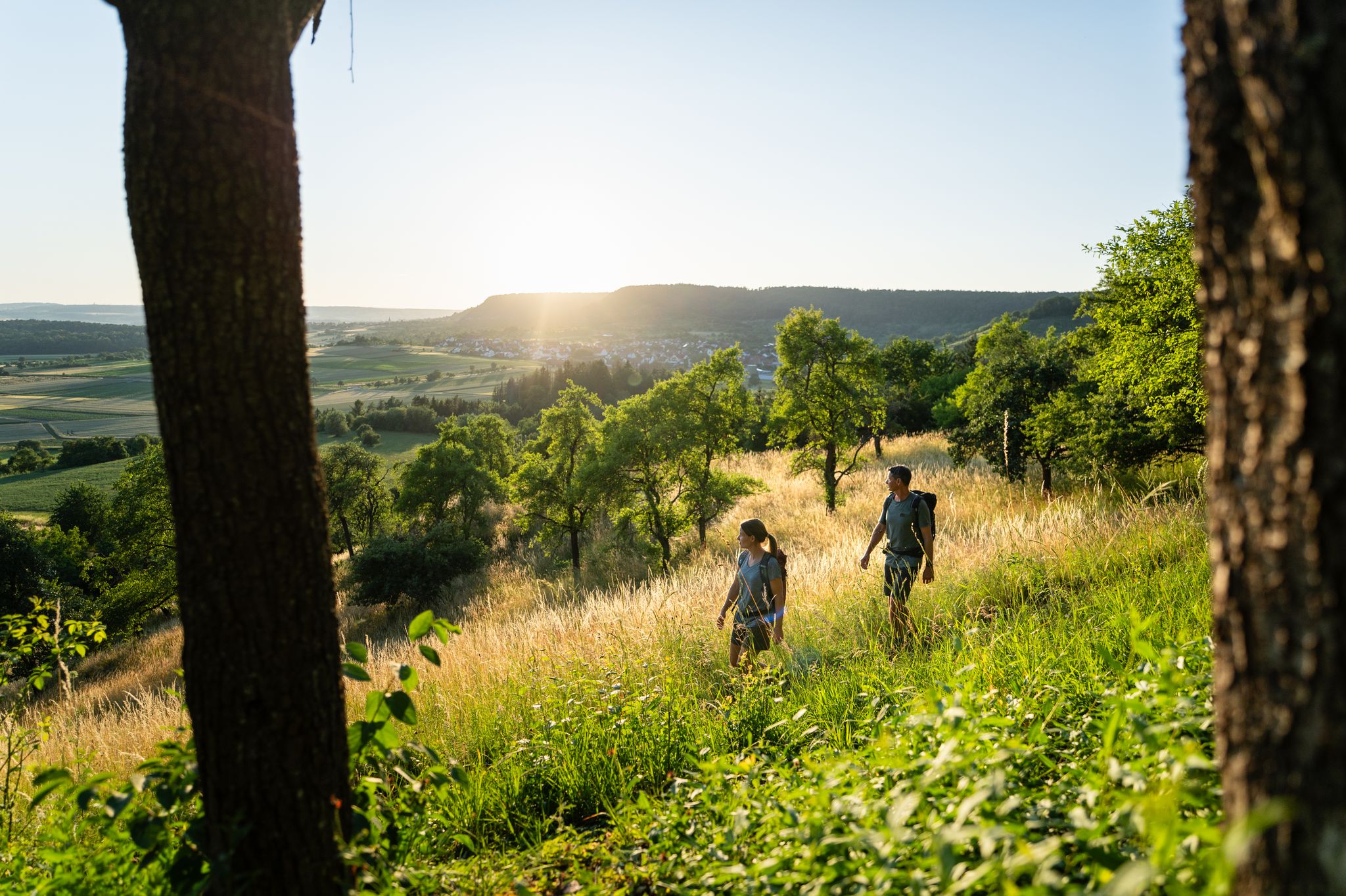
6 Long-Distance Hikes for Your Escape to the Swabian Alb
Other adventures around Donauwörth


Tips from the Community

Beautiful view of the confluence of the Wörnitz and Danube rivers 🌊 - Donauwörth - Donau-Ries district
0
0


And here is also the old Danube harbor. A beautiful walking path is currently being built.
1
0

It's cool to see that the Danube is much smaller than the Lech!
1
1

The Donauspitz with the confluence of Wörnitz and Danube.
3
0

"Historic castle ruins on the "Schlossberg" on the northern edge of the village of Graisbach (municipality of Marxheim). The castle was presumably built by the "Edle von Graisbach" as a ministerial castle for the Counts of Lechsgmünd. After the counts' ancestral seat in "Lechsgmünd" was destroyed by Regensburg merchants in 1248, the counts resettled in Graisbach. From then on, they called themselves Counts of Lechsgmünd-Graisbach. The castle was further expanded over the centuries, partially destroyed and rebuilt in the 15th century. In the 18th century, the castle was abandoned and used as a quarry. Stones from the castle were used as building material in the region, for example, for the Danube bridge in Neuburg. Today, only remnants of the castle complex (Pallas, keep, curtain wall, northwest tower, fountain market) can be visited. Of particular note is the well-preserved Romanesque castle chapel of St. Pankratius with its reliefs on the north portal and remnants of the historic wall paintings." Source: https://www.ferienland-donauries.de/sehenswertes/burgruine_graisbach-1780/
1
0

Dammweg is closed due to construction and cannot be passed
0
0

Confluence of the Danube and Wörnitz. At the so-called Donauspitz, the gently flowing Wörnitz flows into the much faster Danube. A good place for a break under large trees, in the middle of the park-like area. Here is also the war memorial with the inscription: "In loyalty - 1870-1871 - With God for King and Fatherland" A peace linden tree was planted next to it.
1
1
Frequently Asked Questions
What are some unique geological features to explore around Donauwörth?
Donauwörth is rich in geological history. The Bockberg, located on the south-eastern edge of the Ries crater, offers wide views into the Ries, a significant meteorite impact structure. Another notable site is the Kalvarienberg in Wörnitzstein, a protected geotope composed of Weisjura mass limestone, which also bears marks of a meteorite impact. You can follow a 1.7 km educational trail there to learn more about its geological past.
Are there natural monuments suitable for families in Donauwörth?
Yes, several natural monuments are family-friendly. The Prälatenweiher, an artificial pond, features a pleasant circular path suitable for all ages. The Confluence of the Wörnitz and Danube rivers offers picturesque views and opportunities for peaceful walks. The Lech estuary on the Danube near Marxheim also provides a relaxing spot with park benches by the river, ideal for families.
Where can I find scenic viewpoints among Donauwörth's natural monuments?
For expansive views, head to the Bockberg, which provides a wide panorama into the Ries, over the Wörnitz Valley, and towards Donauwörth. The Kalvarienberg in Wörnitzstein also offers excellent views over the Vorries and the Wörnitz valley from its summit. Additionally, the Lech estuary on the Danube near Marxheim offers scenic views of the bridge and the river confluence.
What kind of outdoor activities can I do near Donauwörth's natural monuments?
The region around Donauwörth is excellent for various outdoor activities. You can find numerous MTB trails, running trails, and road cycling routes. The Danube Cycle Path passes through the area, offering picturesque routes along the river. The nearby Swabian Jura also provides extensive hiking trails and opportunities for exploring caves.
Are there any historical or cultural sites integrated with the natural monuments?
Yes, several natural sites have historical significance. The Kalvarienberg in Wörnitzstein features St. Peter's Chapel, built in 1750, and stations of the Way of the Cross, making it a place of both natural and cultural importance. The Graisbach Castle Ruins are situated on a hilltop with 14 old lime trees recognized as a natural monument. The Mangoldfelsen is the foundation of the historic Mangoldstein Castle, marking the beginning of Donauwörth's growth.
Can I find circular walking routes around the natural monuments in Donauwörth?
Yes, there are options for circular walks. The Prälatenweiher has a small, pleasant circular path around the pond. The Kalvarienberg in Wörnitzstein offers a 1.7 km educational trail that forms a loop, explaining the geological impact of the meteorite. The Promenade Walk, which includes the Mangoldfelsen, is also a scenic pedestrian and cycling path.
What is the best time of year to visit the natural monuments in Donauwörth?
The natural monuments around Donauwörth can be enjoyed in every season. The Prälatenweiher is specifically recommended in every season by visitors. Spring and autumn offer pleasant temperatures for hiking and cycling, while summer is ideal for enjoying the rivers and lakes. Winter can also provide unique scenic beauty, especially for those interested in winter hiking.
Are there natural monuments that are easily accessible or suitable for less strenuous visits?
For easier visits, the Confluence of the Wörnitz and Danube and the Lech estuary on the Danube near Marxheim offer accessible paths for gentle walks along the riverbanks. The Ried Island, located between two branches of the Wörnitz, is also a pleasant, flat area for a relaxed stroll. The Promenade Walk in Donauwörth is another easy option.
What do visitors enjoy the most about Donauwörth's natural monuments?
Visitors particularly appreciate the diverse natural environments and the peaceful atmosphere. The wide views from the Bockberg are a highlight, perfect for a break and letting thoughts drift. The quiet beauty of the Prälatenweiher is also highly rated. Many enjoy the picturesque river views, especially at the Lech estuary, where they can sit and relax by the Danube.
Are there any natural monuments with water features like lakes or rivers?
Absolutely. Donauwörth is defined by its rivers. The Confluence of the Wörnitz and Danube is a central natural feature. You can also visit the Lech estuary on the Danube near Marxheim. For a tranquil lake experience, the Prälatenweiher is a beautiful artificial pond that originally served for fish farming.
What makes the Swabian Jura a significant natural area near Donauwörth?
The Swabian Jura (Schwäbische Alb), easily accessible from Donauwörth, is a UNESCO Global Geopark renowned for its dramatic landscapes, extensive hiking trails, and numerous caves. It features unique geological and paleontological characteristics, including fossil sites, meteorite craters, and ancient caves containing significant archaeological findings like the oldest figurative art. It's a major draw for nature enthusiasts and offers ample opportunities for outdoor activities.
Are there places to eat or drink near the natural monuments?
Yes, you can find options for refreshments. Near the Lech estuary on the Danube near Marxheim, there's the Brückenwirt, an old traditional tavern with a guest room and a beer garden. Donauwörth itself, being a town, offers various cafes and restaurants, especially around the Ried Island, which was the original settlement site and now hosts local museums and cafes.
Most popular routes around Donauwörth
Most popular attractions around Donauwörth

Get inspired with the komoot mobile app


Explore more
Extend your search for the best caves by checking out these guides of the top ones around Donauwörth:
