Top 20 Natural Monuments around Hohenpeißenberg
Best natural monuments around Hohenpeißenberg include prominent elevations, historical geological sites, and diverse ecosystems. The region is characterized by the Hoher Peißenberg mountain, which offers extensive panoramic views of the Bavarian Alpine Foreland. It also features significant geological formations such as the Hauptstollen, showcasing the area's coal mining history. The landscape encompasses unique natural reserves like the Schwarzlaichmoor and the scenic Ammerschlucht with its sinter terraces.
Best natural monuments around Hohenpeißenberg
- The most popular natural monuments is Kalkofensteg Wooden Bridge…
Last updated: September 28, 2026
Kalkofensteg Wooden Bridge
Highlight • Bridge
Translated by Google •
Tip by

Hoher Peißenberg Summit and Pilgrimage Church
Highlight • Summit
Translated by Google •
Tip by

Sign up now to discover places like this
Get recommendations on the best single tracks, peaks, & plenty of other exciting outdoor places.
Yew Wood near Paterzell
Highlight • Forest
Translated by Google •
Tip by

Schnalz Summit
Highlight • Summit
Translated by Google •
Tip by

Ammerschlucht Gorge Trail
Highlight • Gorge
Translated by Google •
Tip by

Sign up for free to discover even more natural monuments around Hohenpeißenberg.
Already have an account?
Start today with a free account
Your next adventure awaits.
Popular around Hohenpeißenberg
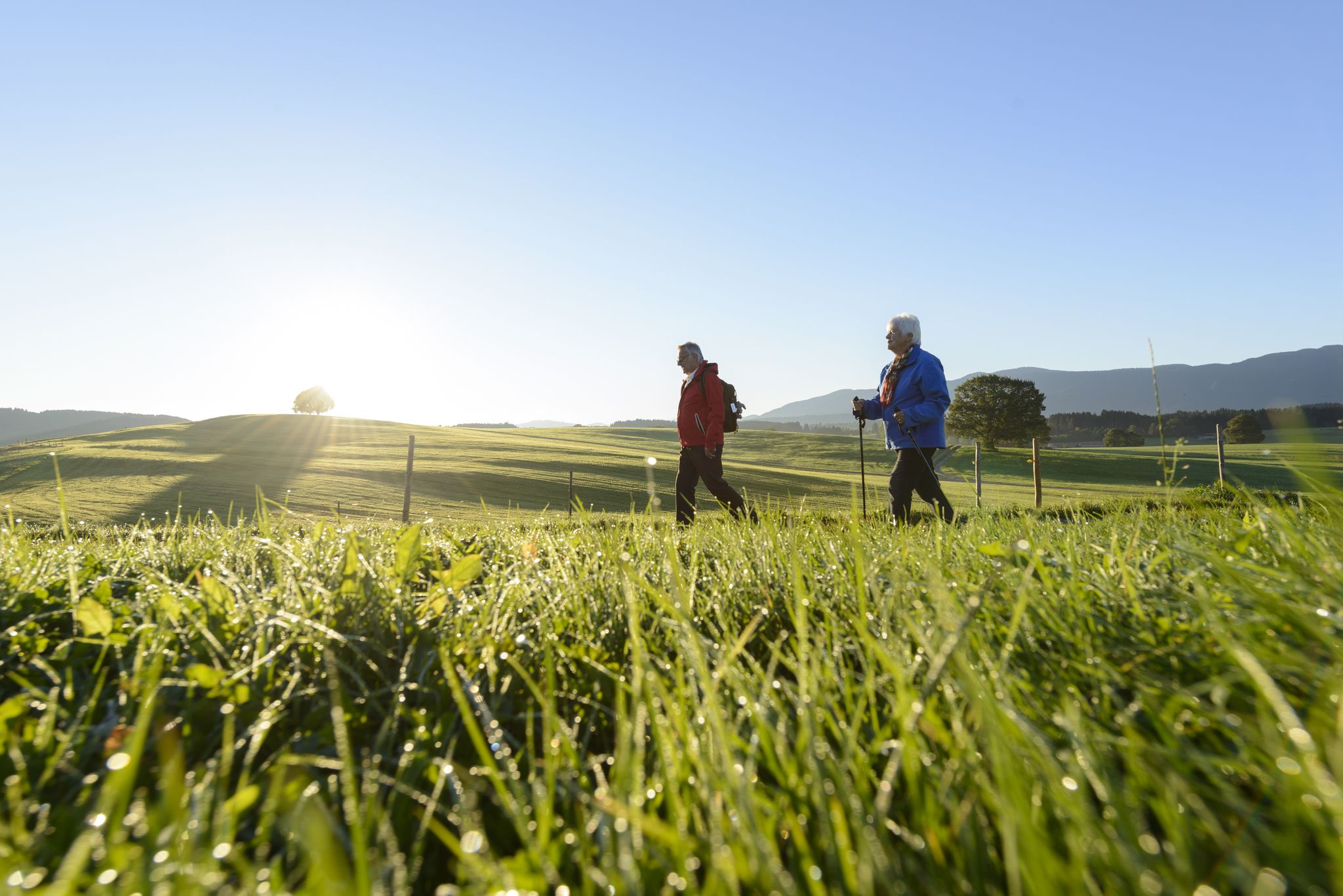
Sacred Landscape Pfaffenwinkel
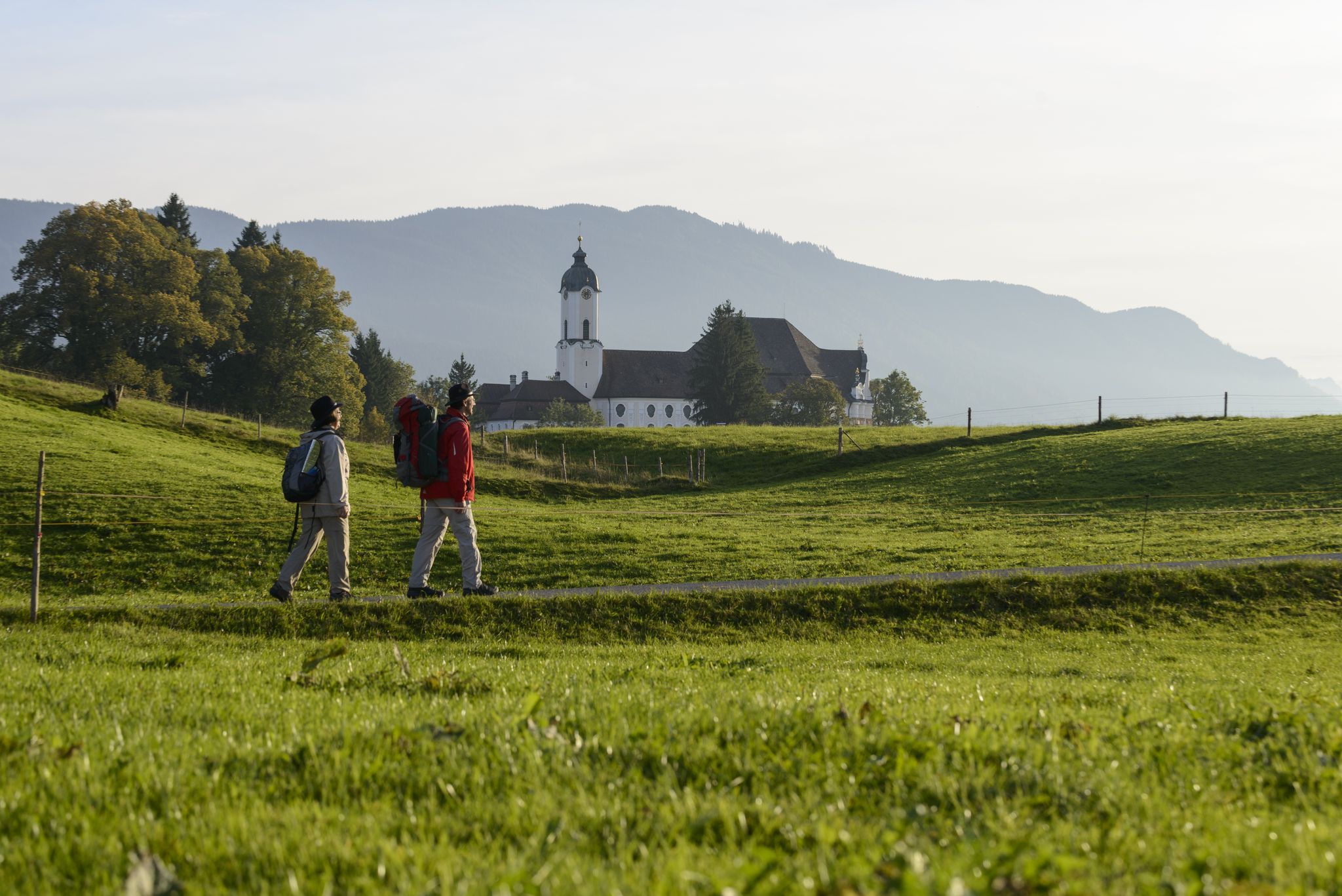
König-Ludwig-Weg: On the trails of Bavaria's fairytale König
Hike the King Ludwig Trail – in the footsteps of a Bavarian king
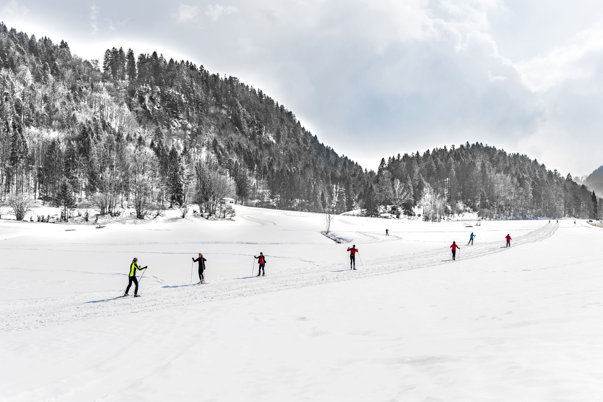
Alpenpanorama und Winterwald: Langlaufen in Oberbayern
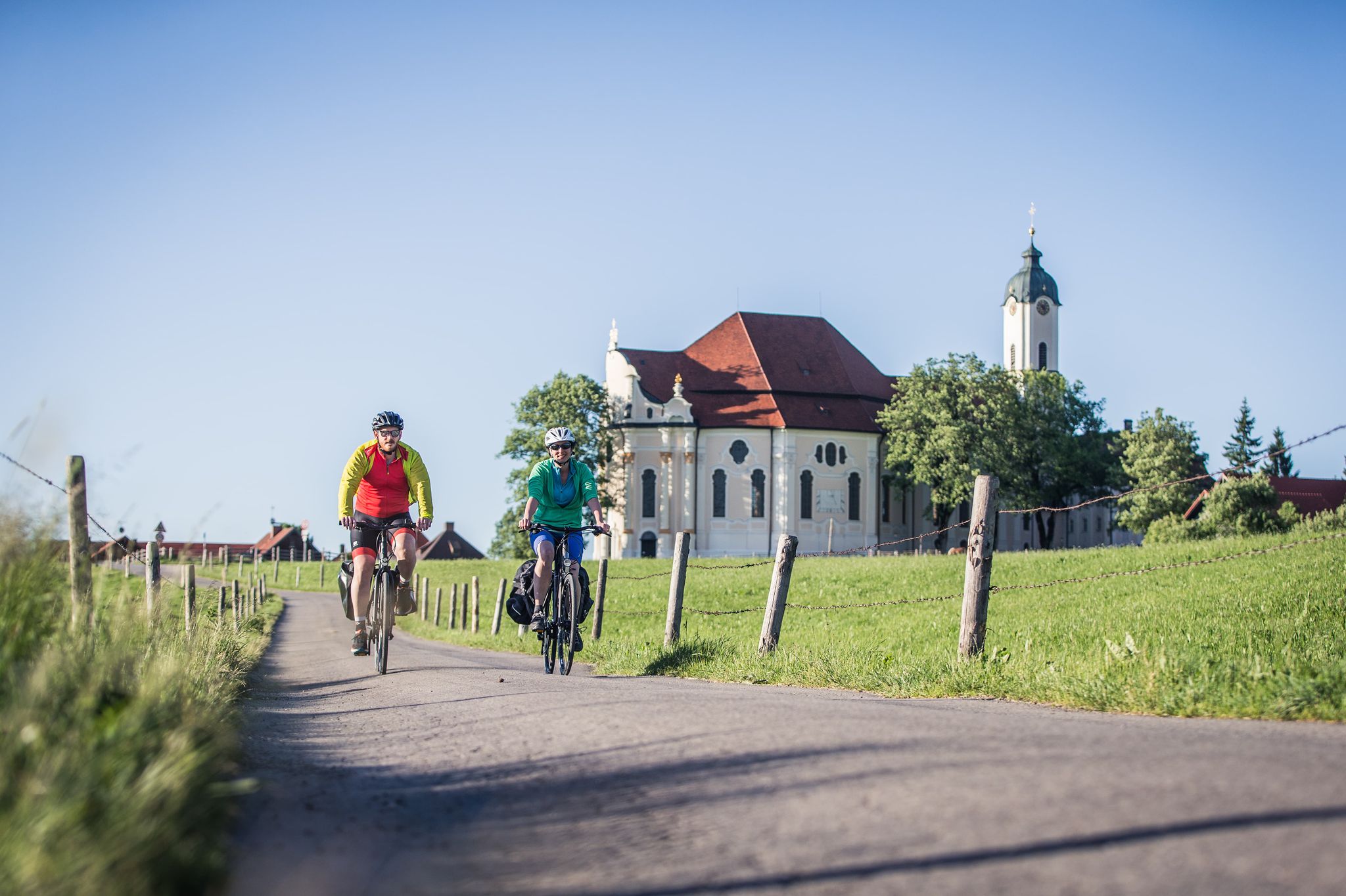
Radpilgern durch den Pfaffenwinkel
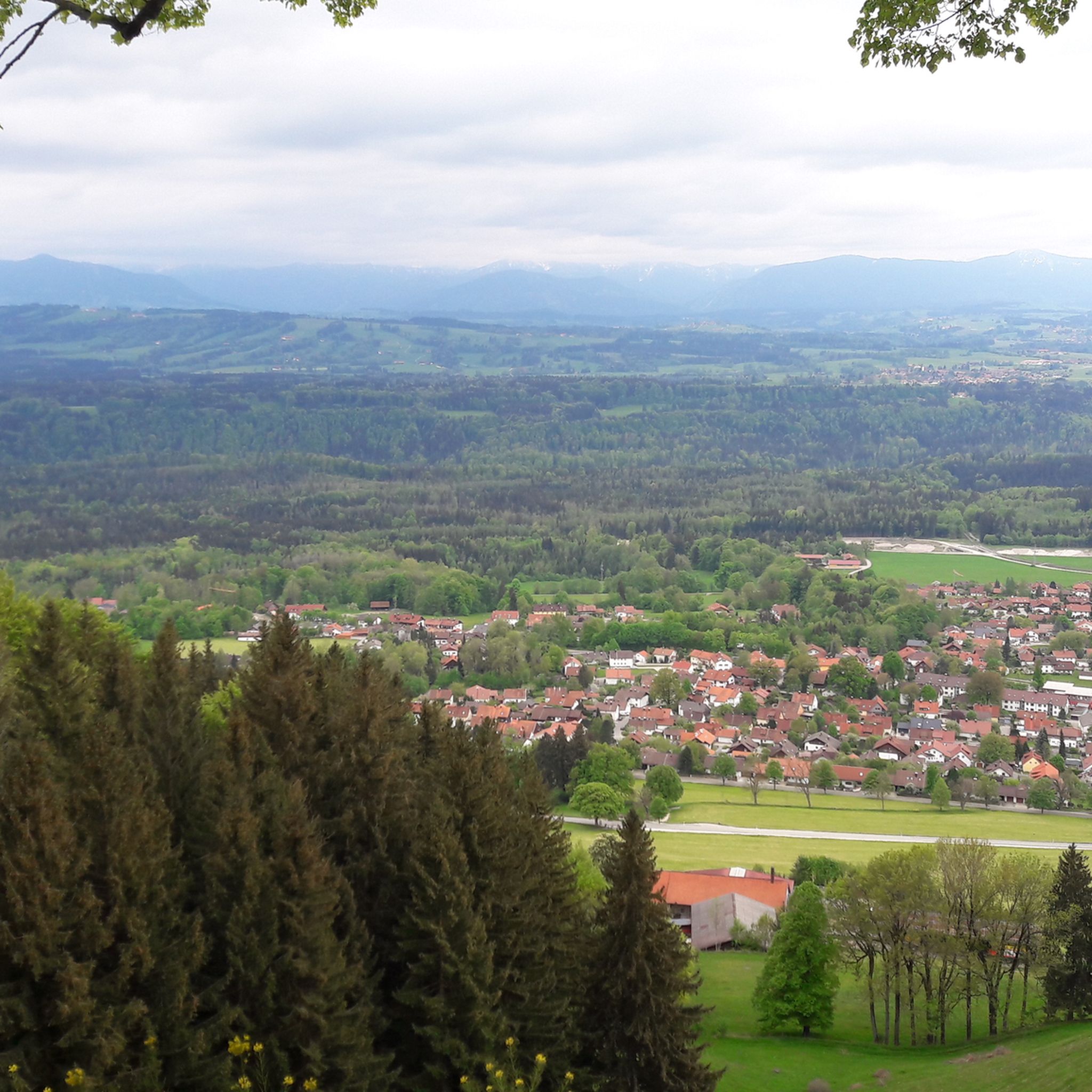
Hiking around Hohenpeißenberg
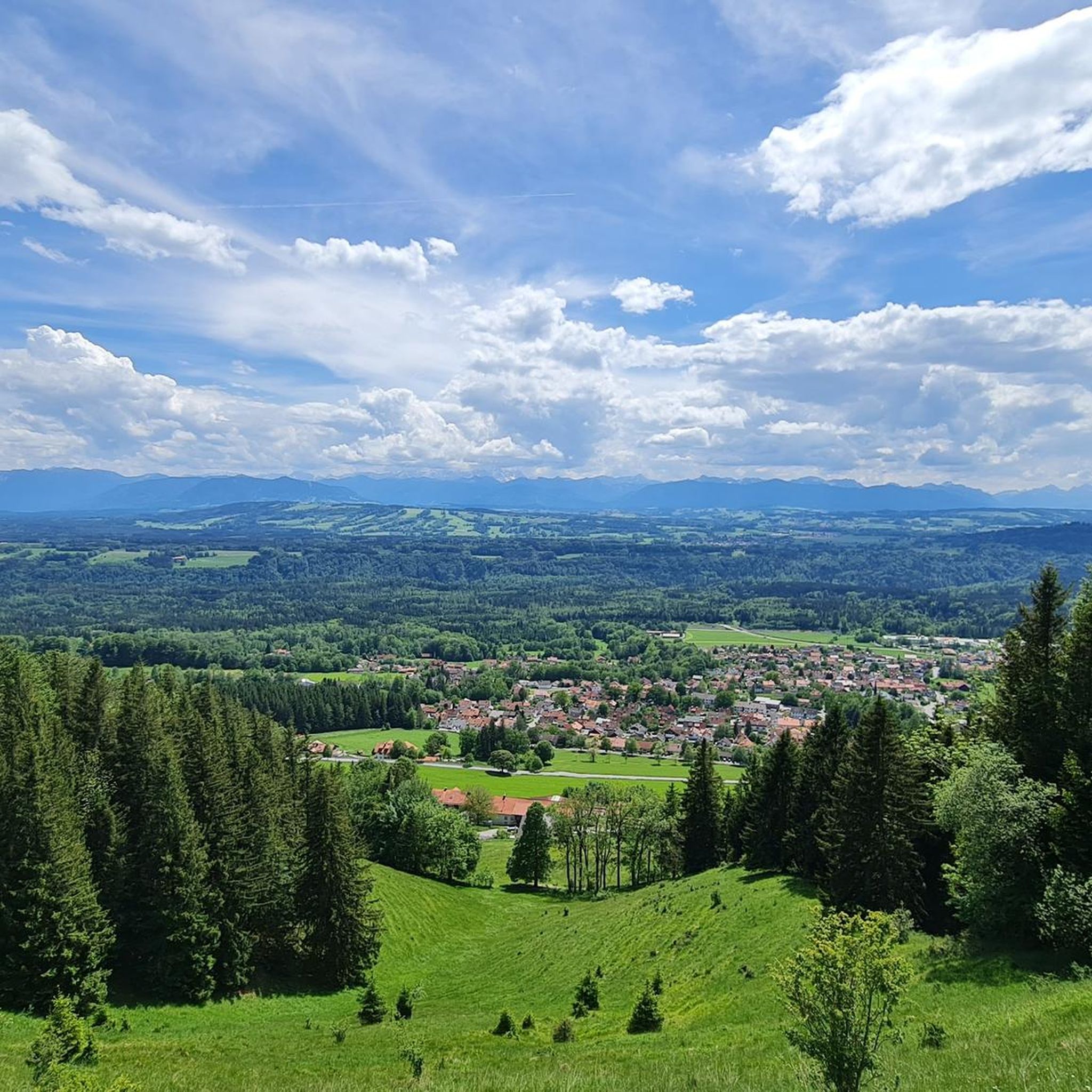
Cycling around Hohenpeißenberg
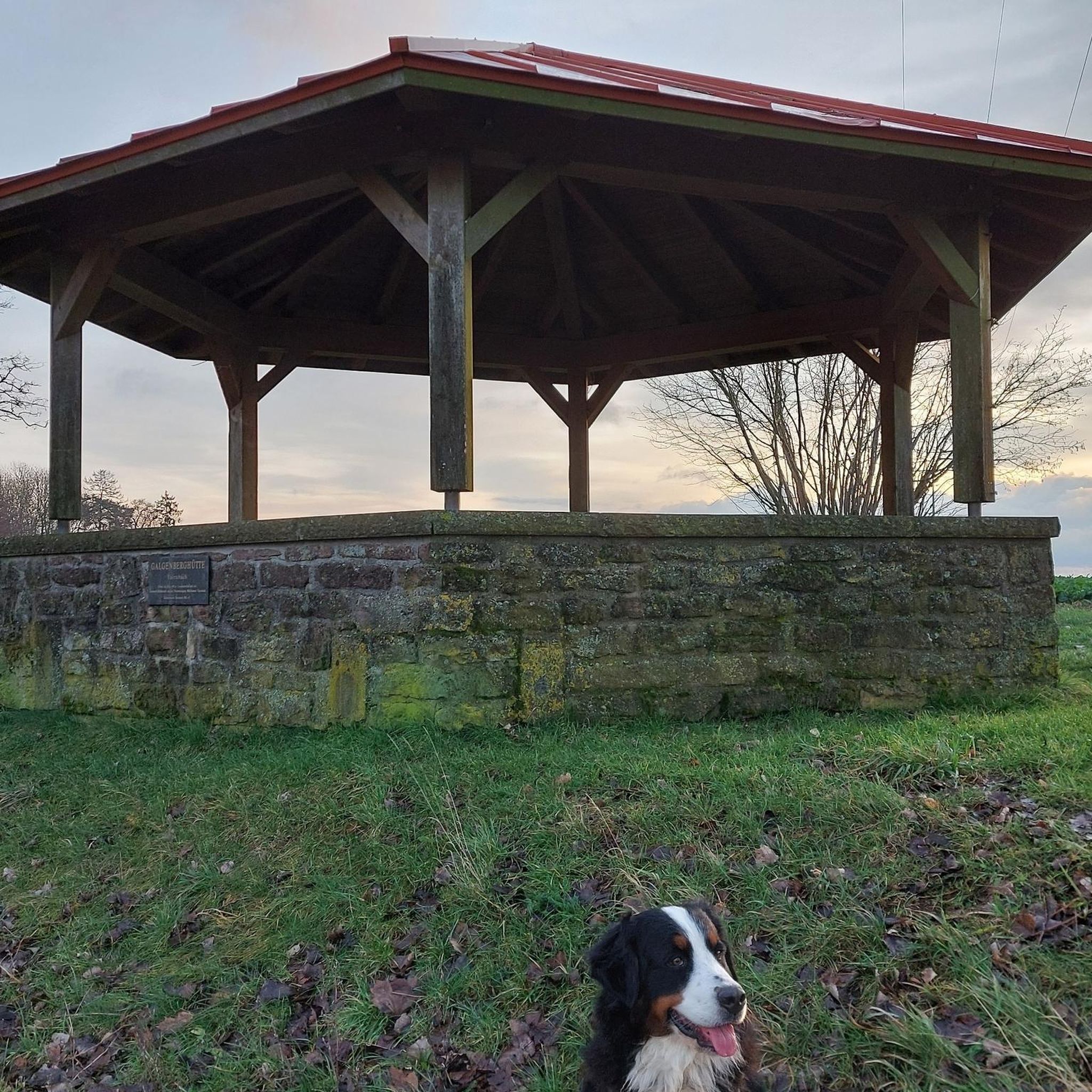
Gravel biking around Hohenpeißenberg
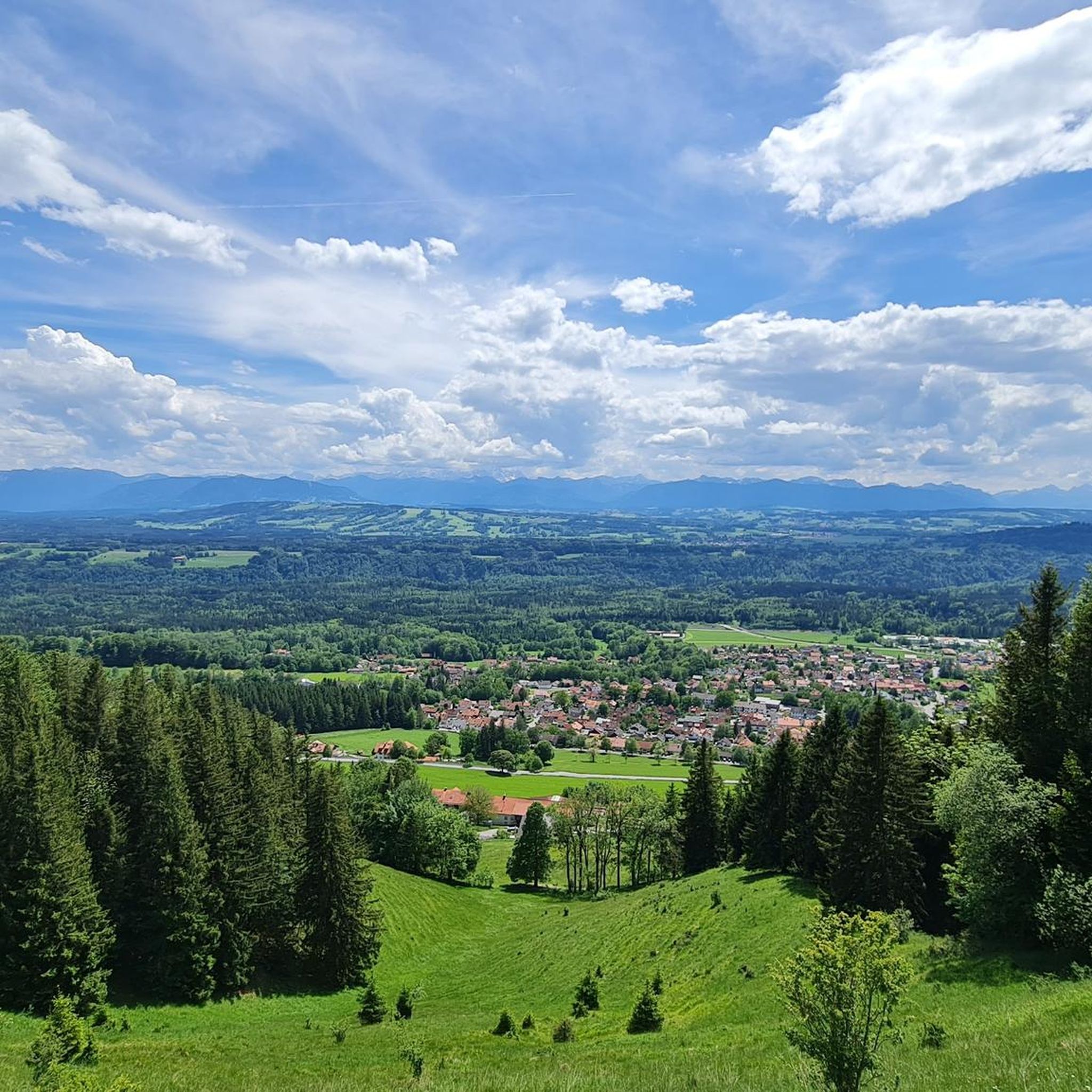
Road Cycling Routes around Hohenpeißenberg
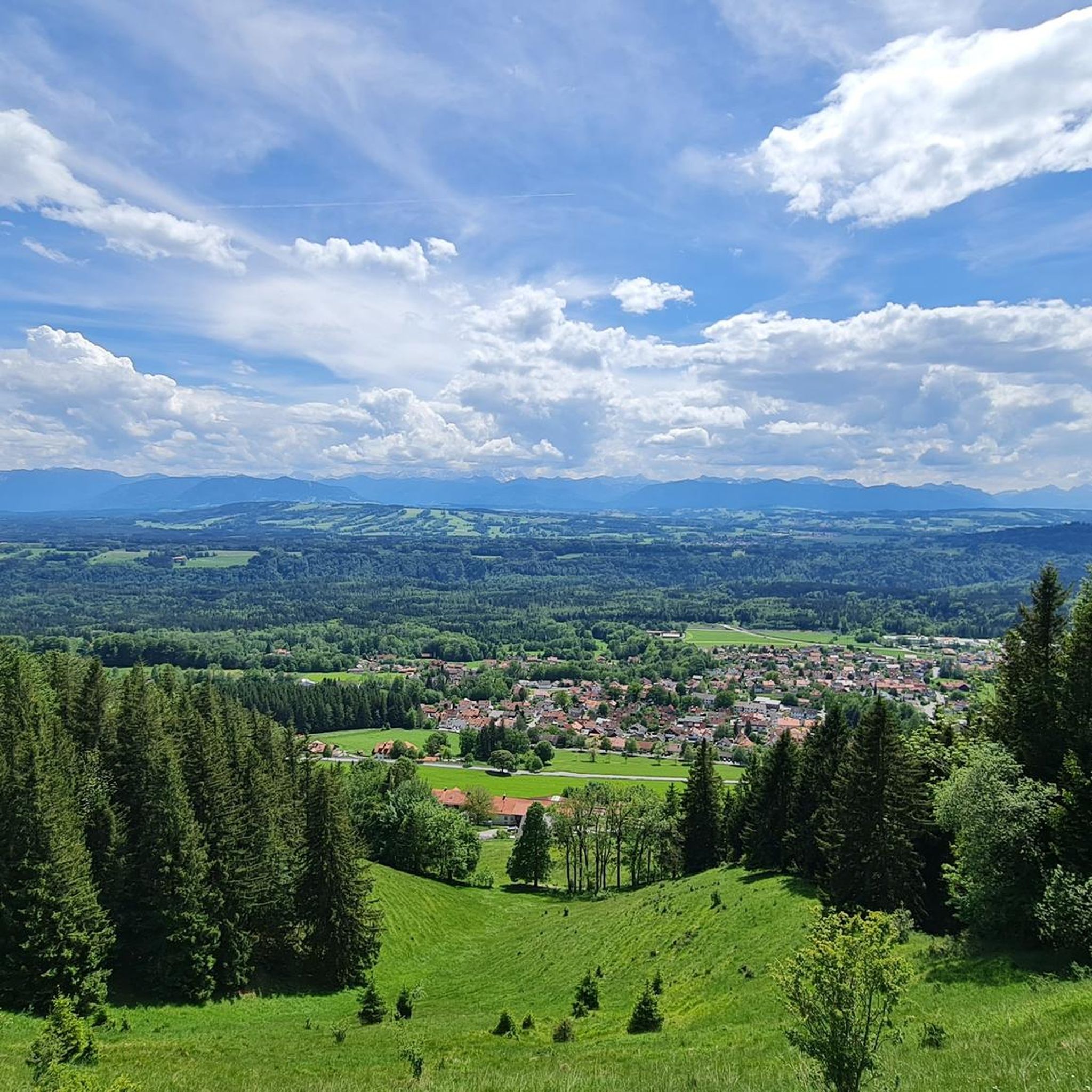
MTB Trails around Hohenpeißenberg
Other adventures around Hohenpeißenberg


Tips from the Community

It's simply beautiful here, and you're rarely alone. Please keep that in mind on weekends 😉 Great views and lots of trails to choose from.
1
1

Schnalz 901m above sea level Alpine panorama
1
0

The crystal in the summit cross of Schnalz near Böbing has a complex meaning that encompasses both cultural and spiritual aspects. It symbolizes purity and clarity and is often associated with healing properties that provide comfort and protection to visitors. In addition, the crystal represents a deep connection to nature as it is a natural mineral that comes from the earth. Its use in the cross can also symbolize the energy and power of the people who climb the mountains. Overall, the crystal embodies a deeper connection to spirituality, nature and the values associated with the summit cross, thus contributing to the significance of this place as a spiritual retreat and cultural heritage.
0
0
The summit cross on the Schnalz near Böbing was erected in 1950 and symbolizes the Christian faith and the village community's connection with its homeland. After a renovation in 1982, it is now a popular hiking destination and meeting point for mountain services. It offers a place of reflection and a beautiful view over the Ammer Valley and the Alpine foothills.
0
0
Once you reach the top, there is nothing better than enjoying a leisurely snack and the wonderful view of the Bavarian Alps
0
0
If you want to do the short tour to the Schnalz summit and avoid the many steps, it is best to start from Böbing. Here you go on mostly tarred access and forest paths towards the Schnalz summit. Only the last section leads through natural sections, i.e. through the forest and the meadow part, and a short section across the cow pasture. Then you reach the summit cross, and the way back to Böbing is similar - mostly tarred.
0
0

With free drinking water station where you can fill up bottles or simply quench your thirst.
1
1

Very nice view from here 😊
3
1
Frequently Asked Questions
What are some of the most popular natural monuments to visit around Hohenpeißenberg?
Visitors frequently enjoy the panoramic views from Hoher Peißenberg Summit and Pilgrimage Church, which offers 360-degree vistas of Ammersee, Starnberger See, and the Alps. Another favorite is the Kalkofensteg Wooden Bridge, known for its scenic views over the Ammer river and the surrounding gorge.
Are there family-friendly natural monuments in the Hohenpeißenberg area?
Yes, several natural monuments are suitable for families. The Hoher Peißenberg Summit and Pilgrimage Church is family-friendly, offering a weather path with educational information. The Kalkofensteg Wooden Bridge area also has gravel banks along the Ammer river where families can relax. Additionally, the Yew Wood near Paterzell features a nice circular route with signposted stations, making it an engaging walk for all ages.
What unique geological features can I explore in Hohenpeißenberg?
The region is rich in geological history. The Ammerschlucht features notable sinter terraces, particularly along the descent to the Kalkofensteg. You can also visit the Hauptstollen (Main Adit) of Hohenpeißenberg, which showcases Oligocene Cyrena layers and the region's past as a significant coal mining area. The Hoher Peißenberg mountain itself was formed by debris flows from the Upper Freshwater Molasse.
What kind of hiking trails are available near these natural monuments?
You'll find a variety of hiking trails. For example, the Ammerschlucht Gorge Trail offers a wild and romantic path, though some sections can be challenging with loose stones and roots, requiring good footwear. For easier walks, the Yew Wood near Paterzell provides a gentle circular route. Many trails also lead up to the Hoher Peißenberg Summit, including parts of the König-Ludwig-Weg and the Münchner Jakobsweg.
Are there any historical sites among the natural monuments?
Yes, the Hauptstollen (Main Adit) of Hohenpeißenberg is a significant historical site, marking the beginning of systematic state coal mining in 1837. Its entrance structure is protected as a historical monument and offers insights into the region's industrial heritage. The Hoher Peißenberg Summit also hosts the world's oldest mountain weather station, continuously collecting data since 1781.
What outdoor activities can I do near the natural monuments around Hohenpeißenberg?
The area offers diverse outdoor activities. You can enjoy mountain hikes, with routes like the 'View from Hohenpeißenberg – Herz-Jesu Chapel loop from Hohenpeißenberg' (Mountain Hikes around Hohenpeißenberg). Road cycling is also popular, with routes such as the 'Raisting Earth Station – Full Throttle Segment loop from Peißenberg' (Road Cycling Routes around Hohenpeißenberg). For mountain biking, consider the 'View of Hohenpeißenberg – View from Hohenpeißenberg loop from Hohenpeißenberg' (MTB Trails around Hohenpeißenberg).
What do visitors particularly enjoy about the natural monuments in Hohenpeißenberg?
Visitors frequently praise the breathtaking panoramic views, especially from the Hoher Peißenberg Summit and Schnalz Summit, which offer extensive vistas of the Alps and surrounding lakes. The wild and romantic scenery of the Ammerschlucht Gorge Trail and the unique atmosphere of the Yew Wood near Paterzell are also highly appreciated.
Are there any natural monuments with unique ecosystems or wildlife to observe?
Yes, the Schwarzlaichmoor, located at the foot of the Hoher Peißenberg, is a unique nature reserve. It offers an opportunity to experience a distinct moorland ecosystem and learn about its specific flora and fauna. Information boards along its paths provide insights into the local biodiversity and even historical discoveries like the bog body 'Rosalinde'.
What should I wear when visiting the natural monuments, especially for hiking?
Good footwear is highly recommended, especially if you plan to explore areas like the Kalkofensteg Wooden Bridge or the Ammerschlucht Gorge Trail, where paths can involve loose stones, roots, or muddy sections. Layered clothing is advisable to adapt to changing weather conditions, particularly when ascending summits like the Hoher Peißenberg.
Can I find places to eat or rest near the natural monuments?
Yes, for instance, the Hoher Peißenberg Summit and Pilgrimage Church area includes a restaurant. Near the Yew Wood near Paterzell, you'll find the Gasthof Eibenwald, which offers good food. Additionally, the Schnalz Summit has benches and relaxation loungers, perfect for a snack or simply enjoying the view.
Are there any natural monuments that offer extensive views of the surrounding landscape?
Absolutely. The Hoher Peißenberg Summit and Pilgrimage Church is renowned for its 360-degree panoramic views, often called the 'Bavarian Rigi,' allowing you to see Ammersee, Starnberger See, and the Alps. The Schnalz Summit also provides a breathtaking alpine panorama of the southern Pfaffenwinkel and the Alps.
Most popular routes around Hohenpeißenberg
Most popular attractions around Hohenpeißenberg

Get inspired with the komoot mobile app


Explore more
Extend your search for the best caves by checking out these guides of the top ones around Hohenpeißenberg:
