Top 11 Natural Monuments around Obertaufkirchen
Best natural monuments around Obertaufkirchen offer a blend of natural beauty and historical significance within Bavaria's diverse landscape. The region is characterized by picturesque natural scenery, including forests and meadows, providing opportunities for outdoor activities. A notable natural feature is the healing spring in Annabrunn, a site of pilgrimage for centuries, deeply intertwined with local cultural heritage. These natural elements contribute to the area's appeal for those seeking to explore the local environment.
Best natural monuments around Obertaufkirchen
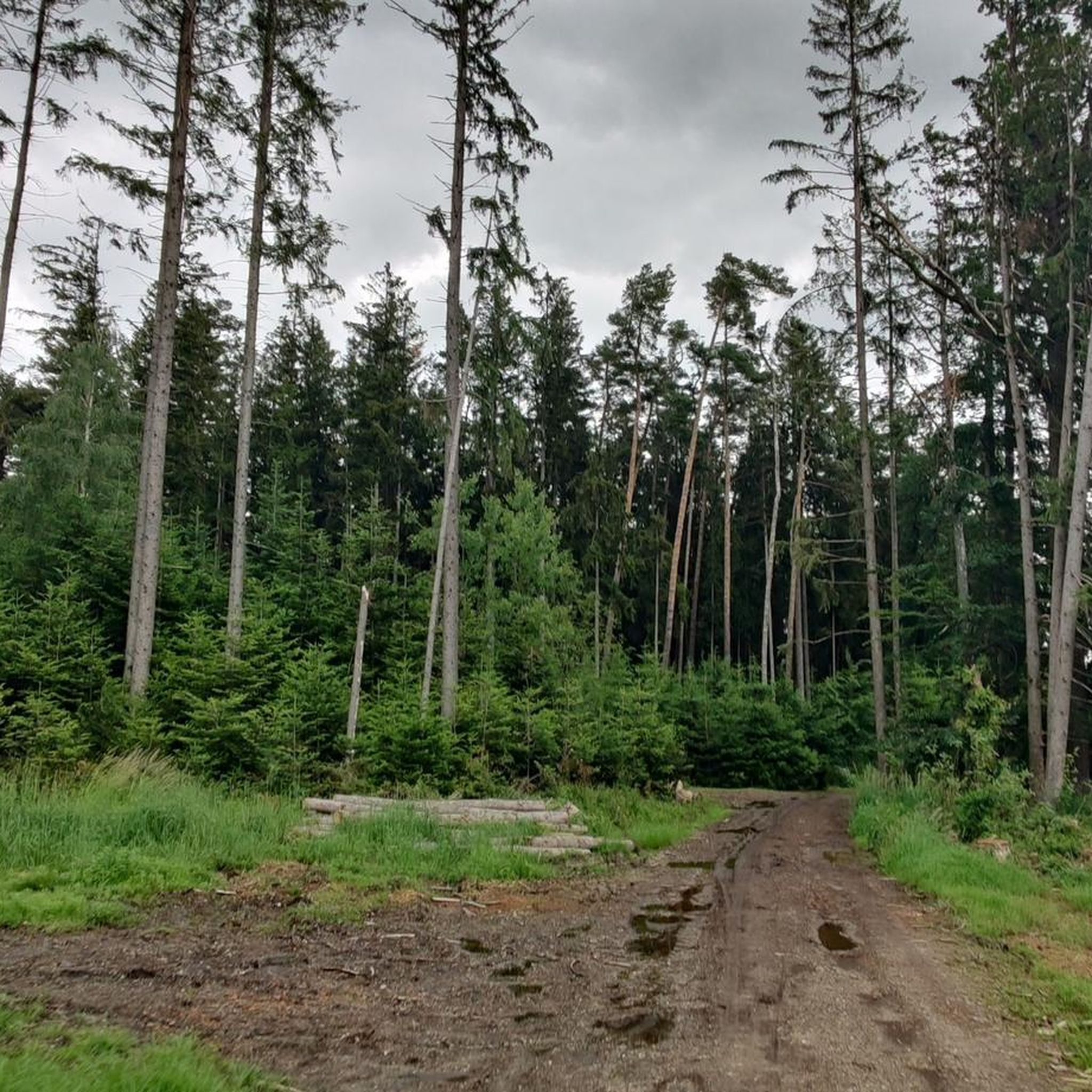
- The most popular natural monument is Watershed Inn–Danube at Hauser Höhe, a natural monument that offers wide views over the hilly landscape to the mountains. It provides a scenic stop along the Vilstalradweg.
- Another must-see spot is Highest Point in the Landshut District, a summit offering panoramic views of the surroundings. At 520 meters above sea level, it marks the highest point in the Landshut district.
- Visitors also love Klopferbrunn Chapel and Spring, a religious building and natural monument featuring a secluded chapel and a spring in the forest. This site offers a peaceful atmosphere and an interesting history.
- Obertaufkirchen is known for natural monuments, summits, and historical sites with natural elements. The area offers a variety of natural monuments to see and explore, from viewpoints to unique geological formations.
- The natural monuments around Obertaufkirchen are appreciated by the komoot community, with more than 390 upvotes and 84 photos shared by visitors.
Last updated: October 11, 2026
Watershed Inn–Danube at Hauser Höhe
Highlight • Natural Monument
Translated by Google •
Tip by

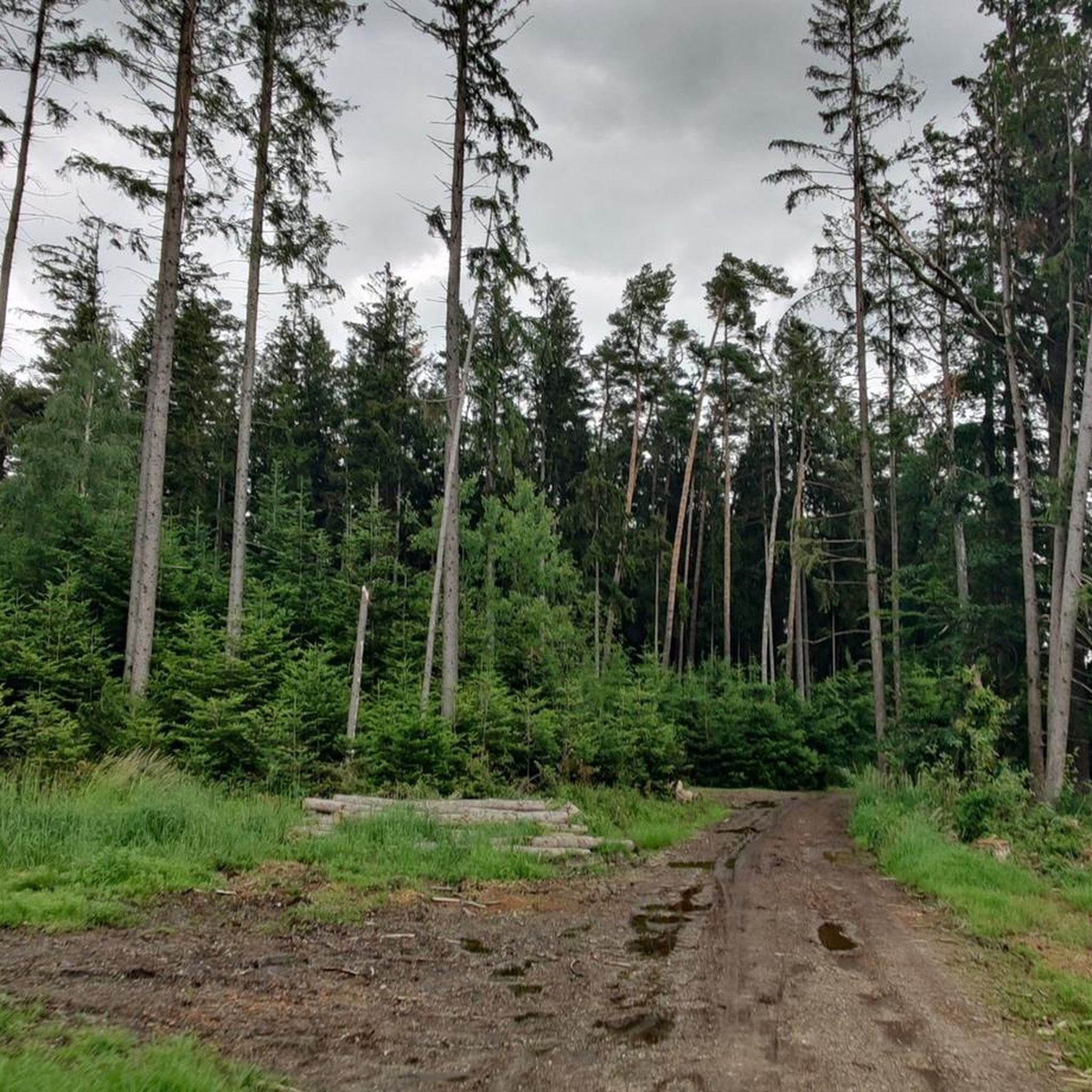
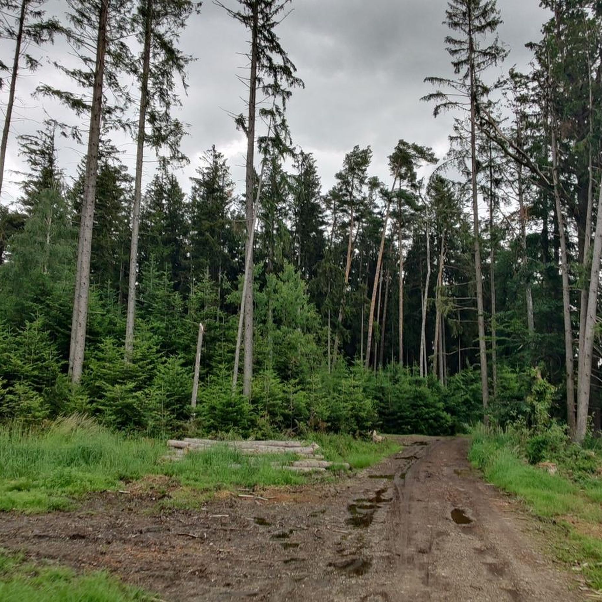
Kettle hole
Highlight • Natural Monument
Blocks of ice that break away from the glacier tongue during melting and remain there are called dead ice.
Dead-ice basins in which a water-retaining layer has developed, or whose steep slopes sometimes extend below the groundwater level, are water-filled, swampy, or boggy. Their funnel shape allowed rain and meltwater to collect. These small bodies of water have experienced varying degrees of siltation and moor development, even within the same basin. The range of vegetation formations is very broad. It ranges from small reed beds to large sedge marshes, small sedge marshes, quaking grasslands, floating leaf and aquatic vegetation, transitional bogs, and even black alder swamps.
Source: toteiskessel.de/uber-toteiskessel/was-ist-ein-toteiskessel
Translated by Google •
Tip by

Sign up now to discover places like this
Get recommendations on the best single tracks, peaks, & plenty of other exciting outdoor places.
Highest Point in the Landshut District
Highlight • Summit
Translated by Google •
Tip by

Inn-Danube Watershed
Highlight • Natural Monument
Translated by Google •
Tip by

Klopferbrunn Chapel and Spring
Highlight • Religious Site
Translated by Google •
Tip by
Sign up for free to discover even more natural monuments around Obertaufkirchen.
Already have an account?
Start today with a free account
Your next adventure awaits.

Tips from the Community

A dead-ice basin is a dry, swampy, or water-filled depression formed by the melting of dead ice. Blocks of ice that break away from the glacier tongue during melting and remain there are called dead ice. Dead-ice basins in which a water-retaining layer has developed, or whose steep slopes sometimes extend below the groundwater level, are water-filled, swampy, or boggy. Their funnel shape allowed rain and meltwater to collect. These small bodies of water have experienced varying degrees of siltation and moor development, even within the same basin. The range of vegetation formations is very broad. It ranges from small reed beds to large sedge marshes, small sedge marshes, quaking grasslands, floating leaf and aquatic vegetation, transitional bogs, and even black alder swamps. Source: https://www.toteiskessel.de/uber-toteiskessel/was-ist-ein-toteiskessel/
0
0

Col de Landshut!
0
0

From here it's downhill no matter which direction you go.
1
0

From here you have a great view towards the Alps (when the weather is nice ;))
0
0

Highest point of the Vilstalweg between Dorfen and Velden (498m) with far-reaching views over the hilly countryside, along with rest areas "Auf der Hauser Höhe" and "Am Weinberg". The watershed between Isen and Vils also means the separation of the Inn and Danube (although both of them later come together again). On the skates you have to master a noticeable incline from both directions, while it is easy to go down on the other side.
2
0

Perfect for the break in between! There are enough seats and there is free shade when you are out and about on hot summer days ;-)
0
0

A special kind of watershed - the Inn later also flows into the Danube!
1
0
Highlights are always beautiful - the view extends as far as the Alps
0
0
Frequently Asked Questions
What are some notable natural monuments in the Obertaufkirchen area?
The region around Obertaufkirchen features several interesting natural monuments. One prominent example is the Watershed Inn–Danube at Hauser Höhe, which offers expansive views over the hilly landscape. Another significant site is the Highest Point in the Landshut District, providing panoramic views from 520 meters above sea level. Additionally, the Klopferbrunn Chapel and Spring combines a secluded chapel with a natural spring in a peaceful forest setting.
Are there any historical or cultural sites integrated with the natural monuments?
Yes, the area beautifully blends natural features with historical and cultural significance. The healing spring in Annabrunn, for instance, has been a pilgrimage site for centuries, with the Wallfahrtskirche Hl. Mutter Anna (Pilgrimage Church of St. Anne) built around this natural water source. Similarly, the Klopferbrunn Chapel and Spring is a religious building nestled within a natural monument, offering a glimpse into local history and tradition.
What kind of natural features can I expect to see around Obertaufkirchen?
Beyond specific monuments, the Obertaufkirchen region is characterized by picturesque natural scenery, including extensive forests and meadows. You can find viewpoints like the Watershed Inn–Danube at Hauser Höhe and the Highest Point in the Landshut District, offering wide vistas. There are also unique geological formations such as the Kettle hole, a depression formed by melting ice, and natural springs like the one at Annabrunn and Klopferbrunn Chapel and Spring.
Are there family-friendly natural monuments around Obertaufkirchen?
Yes, several natural monuments in the area are suitable for families. The Watershed Inn–Danube at Hauser Höhe and the Highest Point in the Landshut District are both marked as family-friendly, offering beautiful views that can be enjoyed by all ages. The Klopferbrunn Chapel and Spring also provides a peaceful and interesting spot for a family outing.
What outdoor activities can I do near these natural monuments?
The natural surroundings of Obertaufkirchen are ideal for various outdoor activities. You can explore numerous hiking trails, such as those found in the Hiking around Obertaufkirchen guide, including easy loops like the 'Hiking loop from Obertaufkirchen'. For cyclists, there are both mountain biking and road cycling routes available. Check out the MTB Trails around Obertaufkirchen and Road Cycling Routes around Obertaufkirchen guides for detailed options.
Are there hiking trails near the natural monuments?
Absolutely. The region offers a variety of hiking trails that allow you to explore the natural monuments and surrounding landscapes. For example, you can find easy to moderate hiking loops directly from Obertaufkirchen, such as the 'View of Obertaufkirchen loop'. More options are detailed in the Hiking around Obertaufkirchen guide, which can lead you to various natural spots.
Can I go cycling near the natural monuments?
Yes, the area is well-suited for cycling. The Watershed Inn–Danube at Hauser Höhe is a scenic stop along the Vilstalradweg, making it accessible by bike. You can find numerous routes for both mountain biking and road cycling in the vicinity. Explore guides like MTB Trails around Obertaufkirchen and Road Cycling Routes around Obertaufkirchen for routes that pass by or near these natural features.
What is the best time of year to visit the natural monuments around Obertaufkirchen?
The natural monuments around Obertaufkirchen can be enjoyed throughout the year, each season offering a different charm. Spring brings blooming meadows, while summer is ideal for longer hikes and bike rides. Autumn showcases vibrant foliage, and even winter offers opportunities for peaceful walks through snow-covered landscapes, especially in forested areas. Consider your preferred activities when planning your visit.
Are the natural monuments around Obertaufkirchen wheelchair accessible?
Specific information on wheelchair accessibility for all natural monuments is limited. Many natural monuments, especially those in forests or on elevated terrain like viewpoints, may involve uneven paths or inclines that are not fully wheelchair accessible. It's advisable to check specific conditions for each site if accessibility is a primary concern.
Can I bring my dog to the natural monuments?
Generally, dogs are welcome on trails and in natural areas around Obertaufkirchen. However, it's always recommended to keep dogs on a leash, especially in nature protection areas or near wildlife, and to clean up after them. Specific rules might apply to certain sites, so look for local signage.
Are there places to eat or drink near the natural monuments?
While specific cafes or restaurants might not be directly adjacent to every natural monument, the wider Obertaufkirchen area and nearby villages offer various options for refreshments. Many hiking and cycling routes, such as those in the Hiking around Obertaufkirchen guide, often pass through or near towns where you can find local eateries and cafes.
What is the Inn-Danube Watershed?
The Inn-Danube Watershed is a significant natural feature near Obertaufkirchen. It marks the hydrological divide where rainwater flows either into the Isen (and eventually the Inn River) or the Vils (and eventually the Danube River). This point, often found at higher elevations, provides far-reaching views over the hilly countryside and is a notable landmark for hikers and cyclists.
Most popular routes around Obertaufkirchen
Most popular attractions around Obertaufkirchen

Get inspired with the komoot mobile app


Explore more
Extend your search for the best caves by checking out these guides of the top ones around Obertaufkirchen:
