Top 10 Mountain Passes around Piding
Best mountain passes around Piding offer diverse outdoor activities in the Berchtesgadener Land, Germany. Piding is situated at the foot of the Hochstaufen mountain, providing access to various mountain passes. The region features green meadows, dense forests, and clear rivers, making it suitable for hiking and mountain biking. These passes provide opportunities for challenging hikes and vistas over the Berchtesgadener Land.
Best mountain passes around Piding
- The most popular mountain passes is Mittagsscharte, a mountain pass that is a…
Last updated: September 28, 2026
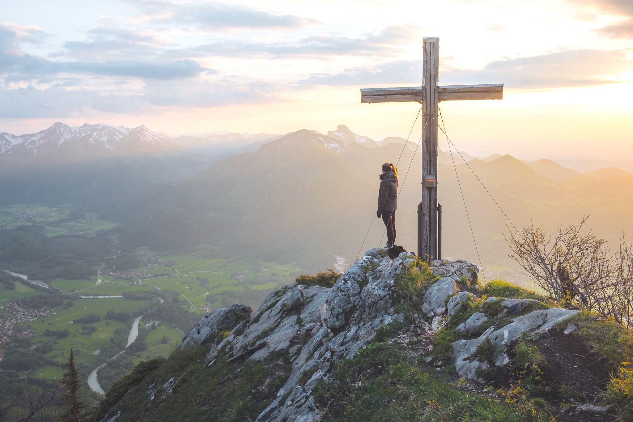
Mittagsscharte
Highlight • Mountain Pass
location
It is located between the Salzburg Hochthron (1 853 m above sea level) in the north and the Raucheck (1 …
Translated by Google •
Tip by

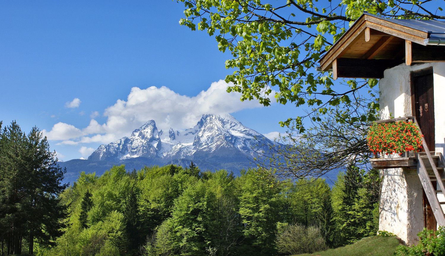
View of Falkenstein
Highlight • Viewpoint
Translated by Google •
Tip by

Sign up now to discover places like this
Get recommendations on the best single tracks, peaks, & plenty of other exciting outdoor places.
Gatterl (1,602 m)
Highlight • Mountain Pass
Translated by Google •
Tip by

Ascent to Mittagsscharte
Highlight • Climb
Translated by Google •
Tip by
View of the Reiter Alpe
Highlight • Viewpoint
The Reiter Alm, also Reiter Alpe, in Austria also Reither Steinberge, named after the Reit district of …
Translated by Google •
Tip by

Sign up for free to discover even more mountain passes around Piding.
Already have an account?
Start today with a free account
Your next adventure awaits.
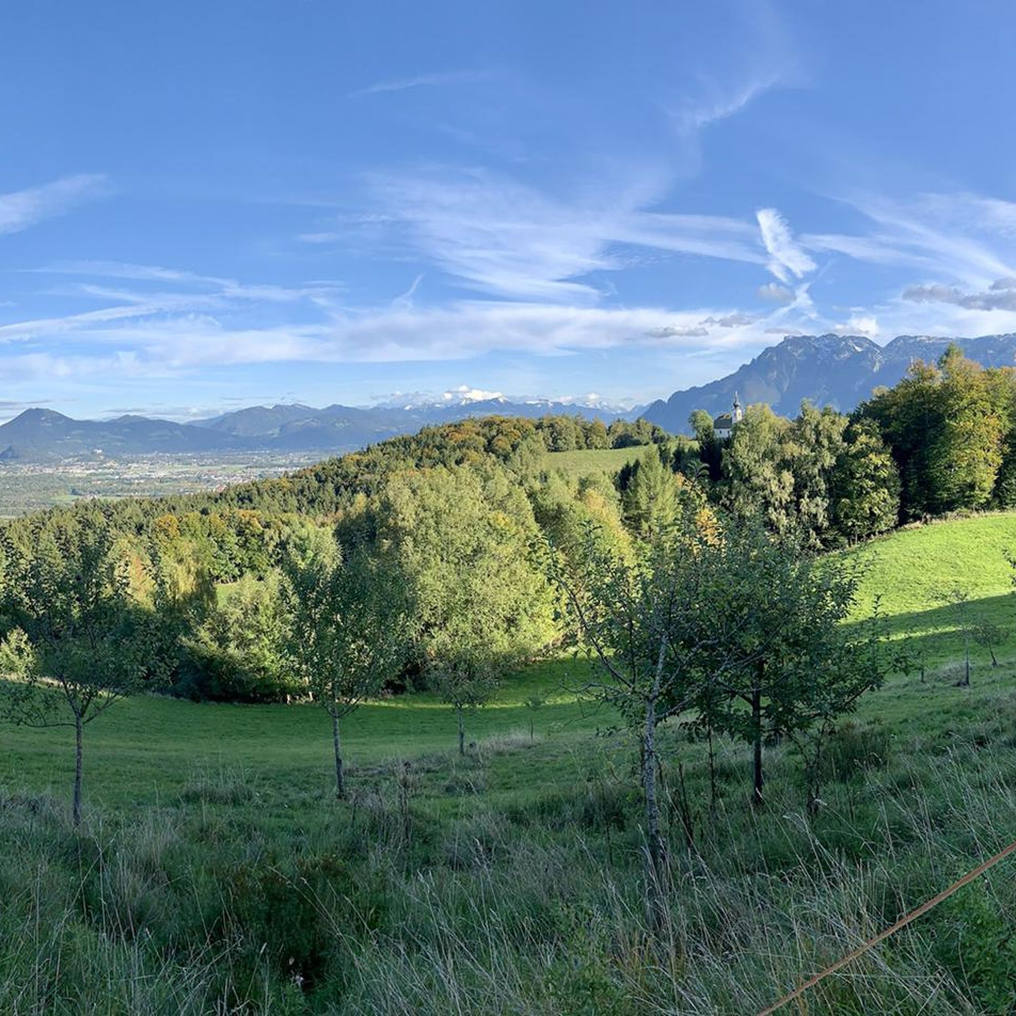
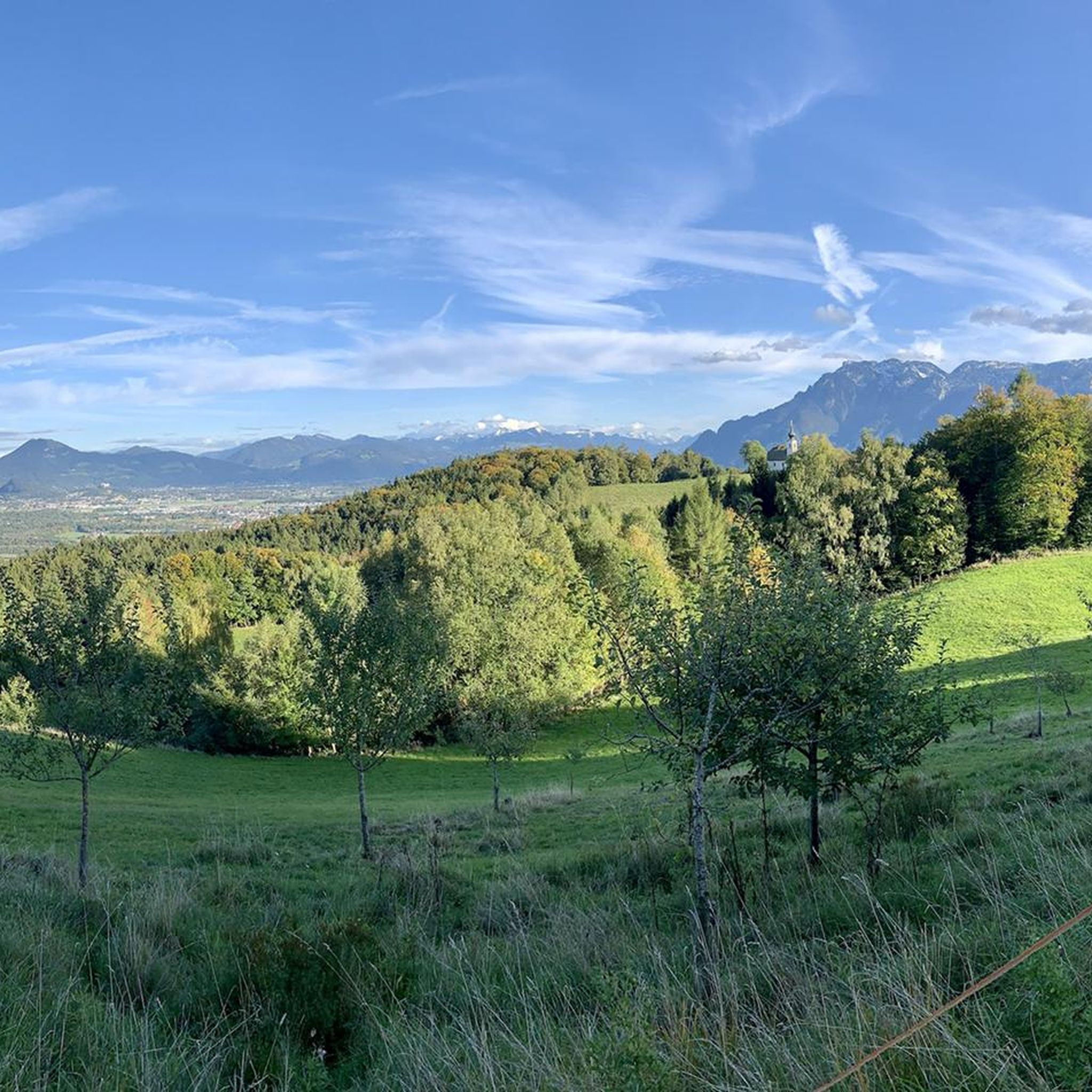
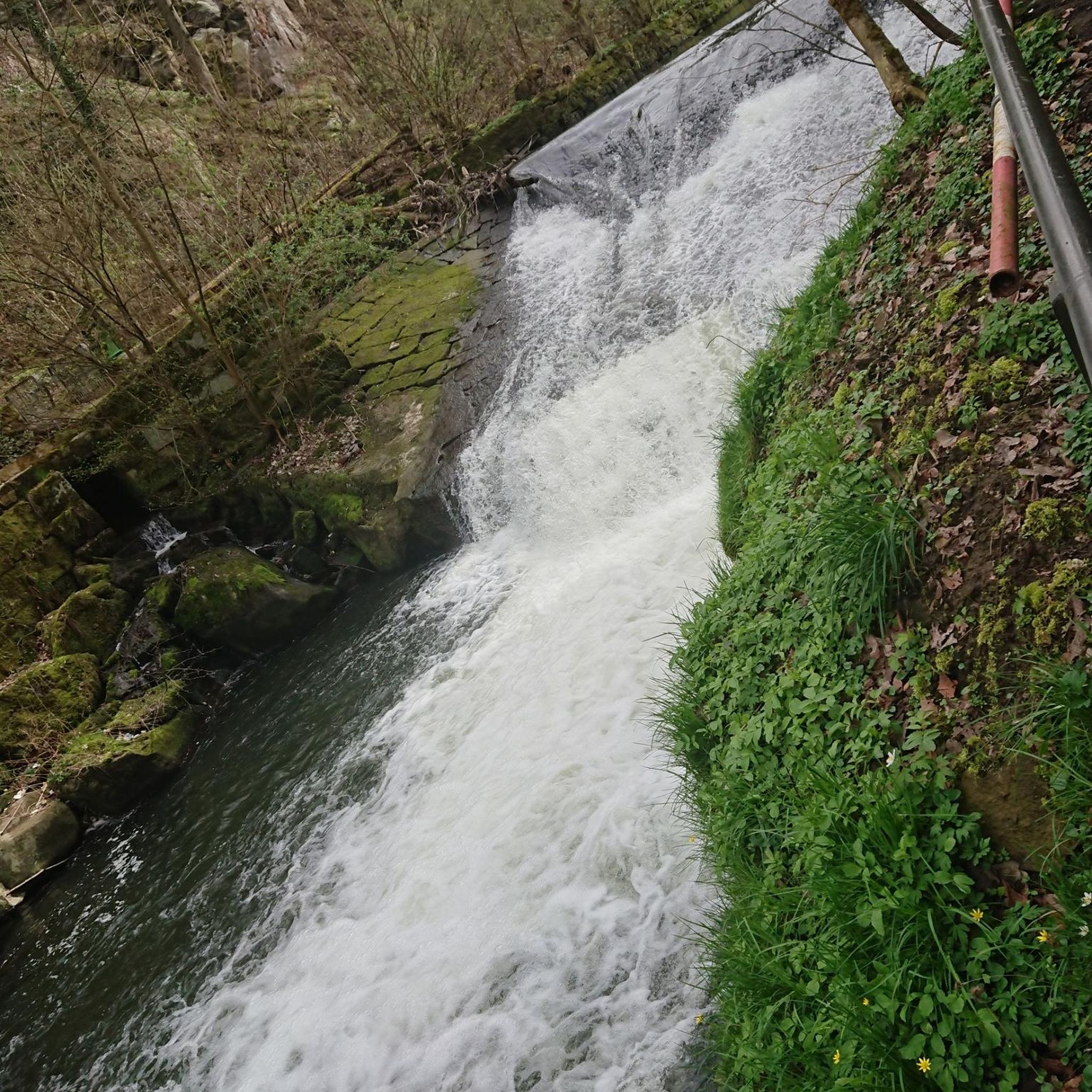
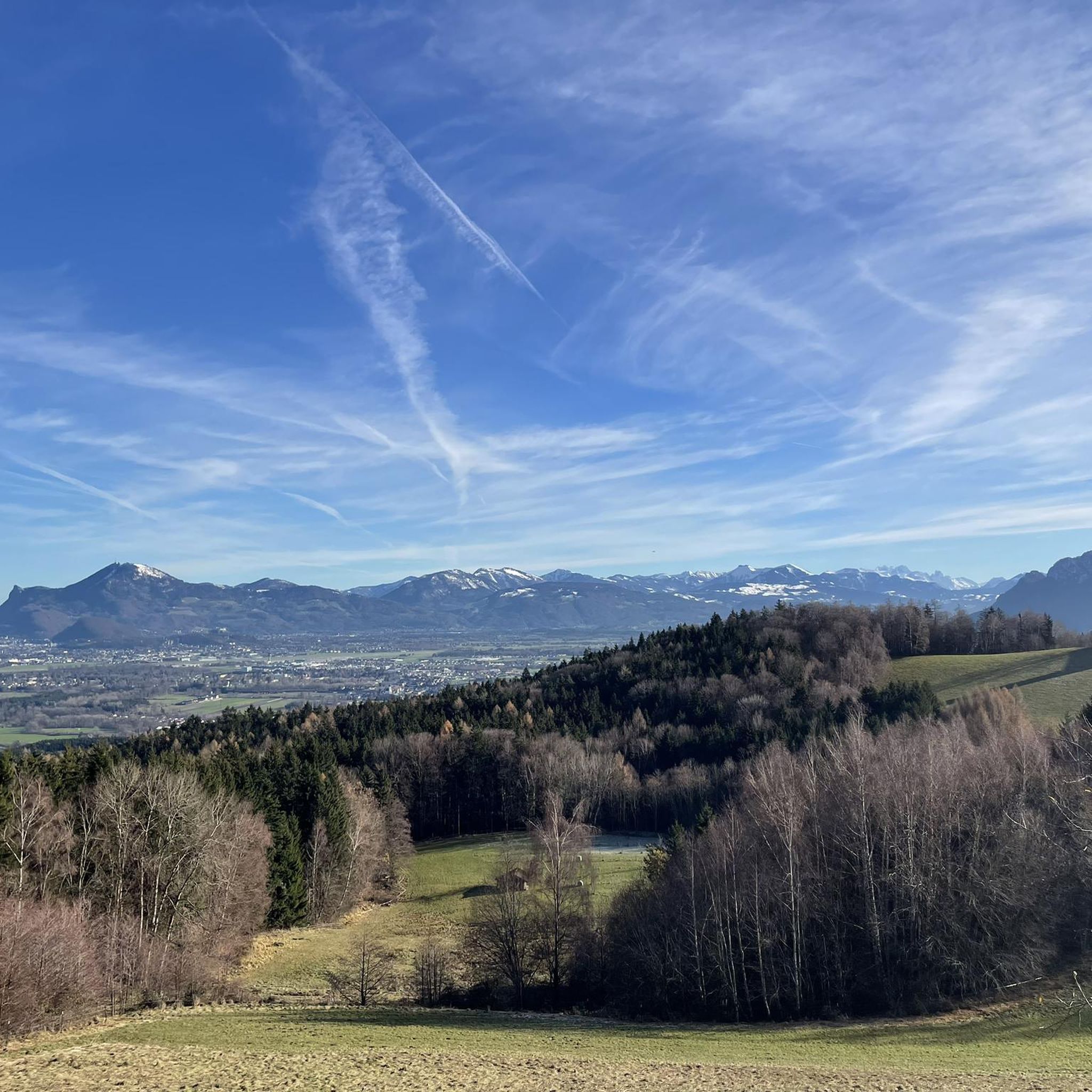



Tips from the Community

When you hike from one Hochthronn to another, you have to descend into the Mittagsscharte in between. Also a reason why the crossing takes longer than you initially think... ;-)
1
0

very steep and challenging descent and ascent :-)
1
0

The perfect spot to take a break. With idyllic cowbells ringing
0
0

Good footwear Take enough to drink with you Sure-footedness required
1
1

It is located between the Salzburger Hochthron (1,853 m above sea level) in the north and the Raucheck (1,891 m above sea level) in the south at an altitude of 1,671 m above sea level. A. right on the border between Austria and Germany. Crossing the Untersberg from the Berchtesgadener to the Salzburger Hochthron is one of the most beautiful tours in the Berchtesgaden Alps. The varied path leads over the extensive high plateau with its huge sinkholes - an extraordinary landscape that is second to none.
1
2
With the ascent to the Mittagscharte you get another impressive view of the mountains. In some places it goes steeply uphill, you should be in good physical condition and sure-footedness.
0
0

Nice but strenuous way to get there
3
0
Frequently Asked Questions
What unique features do the mountain passes around Piding offer?
The mountain passes around Piding are known for their diverse characteristics. For instance, Mittagsscharte is a ridge located directly on the border between Austria and Germany, offering panoramic views and even mystical associations according to local lore. Gatterl (1,602 m) serves as a crucial convergence point for various climbing routes, while Schellenberger Saddle connects important trails and is part of a recommended round tour that includes attractions like the Eishöhle (ice cave) and the Toni-Lenz-Hütte.
Are there challenging hiking opportunities near Piding's mountain passes?
Yes, the region offers challenging routes for experienced hikers. Passes like Schellenberger Saddle are part of demanding tours, connecting various climbs. The overall terrain around Piding's mountain passes is known for providing opportunities for challenging hikes and exploration.
What kind of views can I expect from the mountain passes around Piding?
Visitors can expect breathtaking vistas over the Berchtesgadener Land. Passes like Mittagsscharte offer panoramic views of the surrounding landscape, situated at 1,671 meters above sea level. Many passes, including Gatterl (1,602 m), are excellent viewpoints where a rest is often recommended to take in the scenery.
Can I find cycling or mountain biking routes near the mountain passes?
Absolutely. The Piding region, with its green meadows and dense forests, is ideal for mountain biking and cycling. You can explore various routes, such as those found in the MTB Trails around Piding guide or the Cycling around Piding guide. These guides feature routes with varying difficulties, from moderate to difficult, allowing you to enjoy the alpine scenery on two wheels.
What is the best time of year to visit the mountain passes near Piding?
The region is generally best explored during the warmer months for hiking and cycling, when the green meadows and clear rivers are at their most inviting. While specific weather conditions vary, spring through autumn typically offer the most favorable conditions for outdoor activities. Winter can offer different experiences, but some routes may be more challenging or require special equipment.
Are there any historical or cultural points of interest near the mountain passes?
While the passes are primarily natural features, some have intriguing local lore. For example, Mittagsscharte is considered a place where "Middle-earth" begins, with local legends suggesting it's a site of healing and connection between heaven and earth. Additionally, the Schellenberger Saddle route can include the historic Eishöhle (ice cave) and the Toni-Lenz-Hütte, adding a cultural dimension to your mountain experience.
What kind of natural attractions are there besides the passes themselves?
Beyond the passes, the Berchtesgadener Land is rich in natural beauty. The region features green meadows, dense forests, and clear rivers. Routes connected to passes like the Schellenberger Saddle can lead to the Eishöhle (ice cave), offering a unique underground natural wonder. The overall landscape provides a stunning backdrop for outdoor activities.
What outdoor activities can I do near these mountain passes?
The area around Piding's mountain passes is perfect for a variety of outdoor activities. Besides exploring the passes themselves, you can enjoy hiking, climbing, and mountain biking. There are numerous running trails, such as those detailed in the Running Trails around Piding guide, and extensive options for MTB Trails and Cycling, catering to different skill levels.
Are there any less crowded mountain passes or routes for a quieter experience?
While the main passes are popular, the vastness of the Berchtesgadener Land allows for quieter exploration. To find less crowded routes, consider exploring trails that diverge from the main convergence points, or visit during off-peak hours or seasons. Researching specific trail descriptions and difficulty levels can help you find paths that offer more solitude.
What are the access points and parking options for these mountain passes?
Piding serves as an excellent starting point for exploring the mountain passes. While specific parking details vary by trailhead, many routes are accessible from Piding. For passes like the Schellenberger Saddle, using the Untersbergbahn cable car is a recommended access method, which can also help bypass difficult descents and connect to various climbs.
What makes Hallthurmer Berg a notable mountain pass?
Hallthurmer Berg is a significant mountain pass, particularly noted for its scenic beauty and as a great route for cycling, despite its steep ascents and descents. It offers wonderful forest sections and a paved bike path towards Bad Reichenhall, making it a rewarding experience for cyclists and hikers alike.
What do visitors appreciate most about the mountain passes around Piding?
The komoot community highly appreciates the mountain passes around Piding for their diverse terrain, stunning vistas, and opportunities for challenging hikes. With over 300 upvotes and more than 200 photos shared, visitors particularly enjoy the panoramic views, the unique natural features like the Eishöhle, and the sense of connection to nature and local legends.
Most popular routes around Piding
Most popular attractions around Piding

Get inspired with the komoot mobile app


Explore more
See even more epic mountain passes by checking out these guides around Piding:
