Top 7 Mountain Passes around Anger
Best mountain passes around Anger, Bavaria, are situated in a region known for its mountainous terrain and proximity to the Alps. This area offers access to various mountain passes in both Bavaria and neighboring Austria. The landscape features diverse elevations, from lower passes suitable for year-round access to higher alpine routes. The region provides a range of routes for different types of outdoor activities.
Best mountain passes around Anger
- The most popular mountain passes is Hallthurmer Berg, a mountain…
Last updated: June 24, 2026
Steep Ascent to Riedl Pass
Highlight (Segment) • Mountain Pass
Translated by Google •
Tip by

Hallthurmer Berg
Highlight (Segment) • Mountain Pass
Translated by Google •
Tip by

Sign up now to discover places like this
Get recommendations on the best single tracks, peaks, & plenty of other exciting outdoor places.
Sign up for free
View of Falkenstein
Highlight • Viewpoint
Translated by Google •
Tip by

Bichl Pass (740 m)
Highlight (Segment) • Mountain Pass
Translated by Google •
Tip by

View of the Reiter Alpe
Highlight • Viewpoint
The Reiter Alm, also Reiter Alpe, in Austria also Reither Steinberge, named after the Reit district of …
Translated by Google •
Tip by
Sign up for free to discover even more mountain passes around Anger.
Sign up for free
Already have an account?
Start today with a free account
Your next adventure awaits.
Login or Signup
Popular around Anger
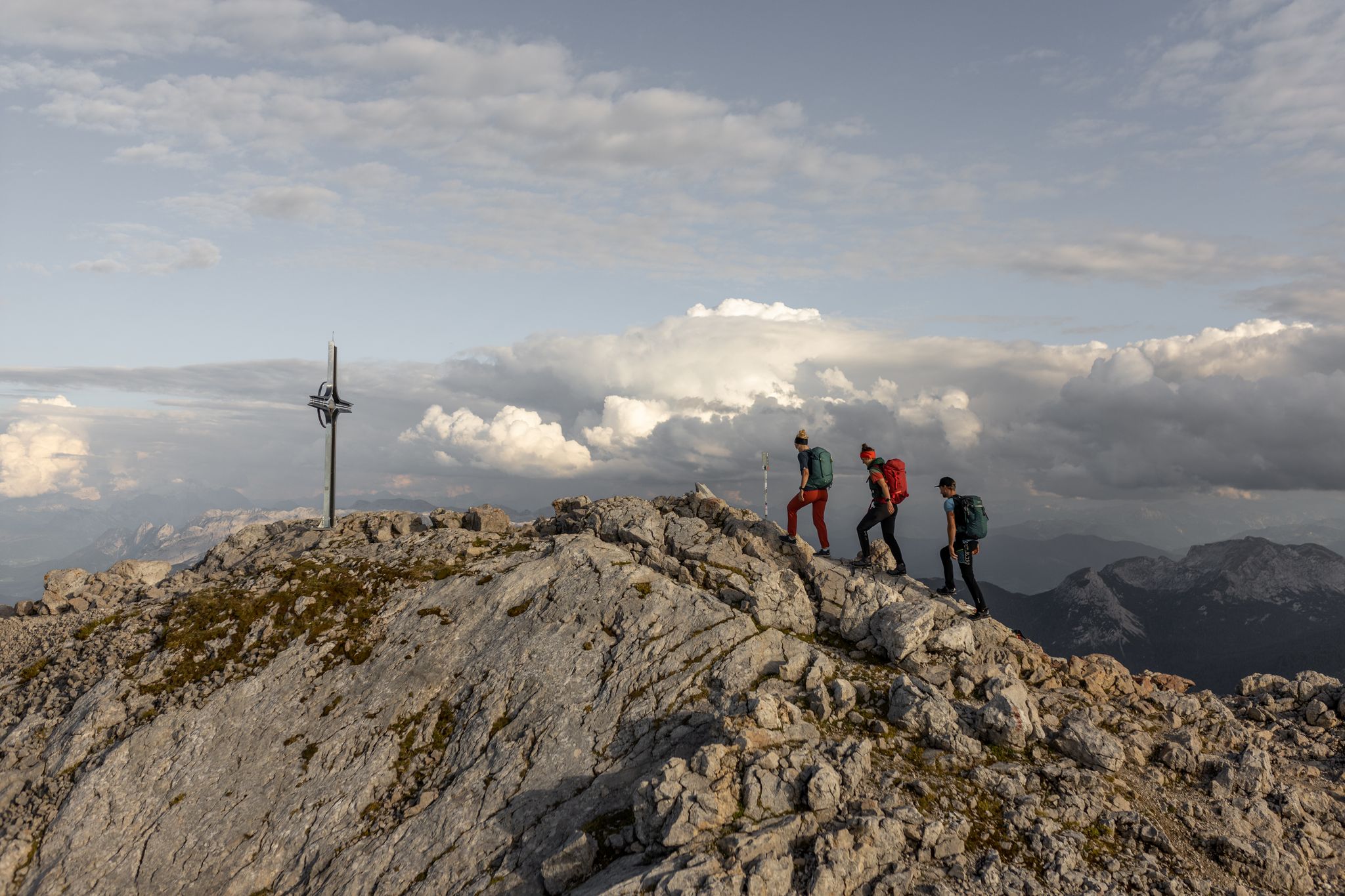
Alone, but never lonely – unforgettable hiking in Berchtesgaden
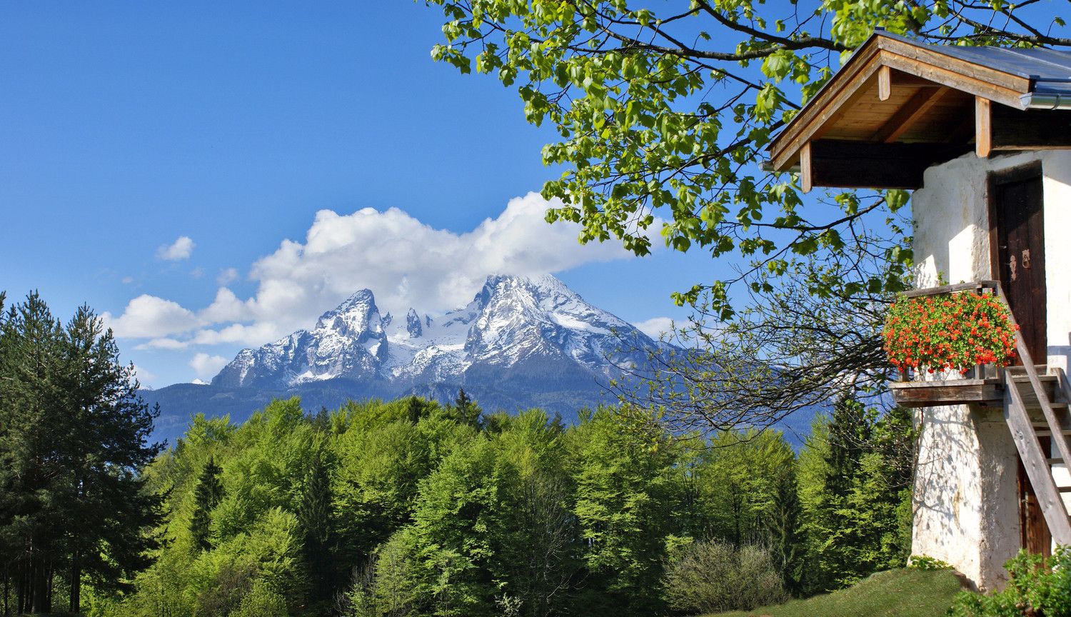
Going for the summer – hiking in the Berchtesgadener Land
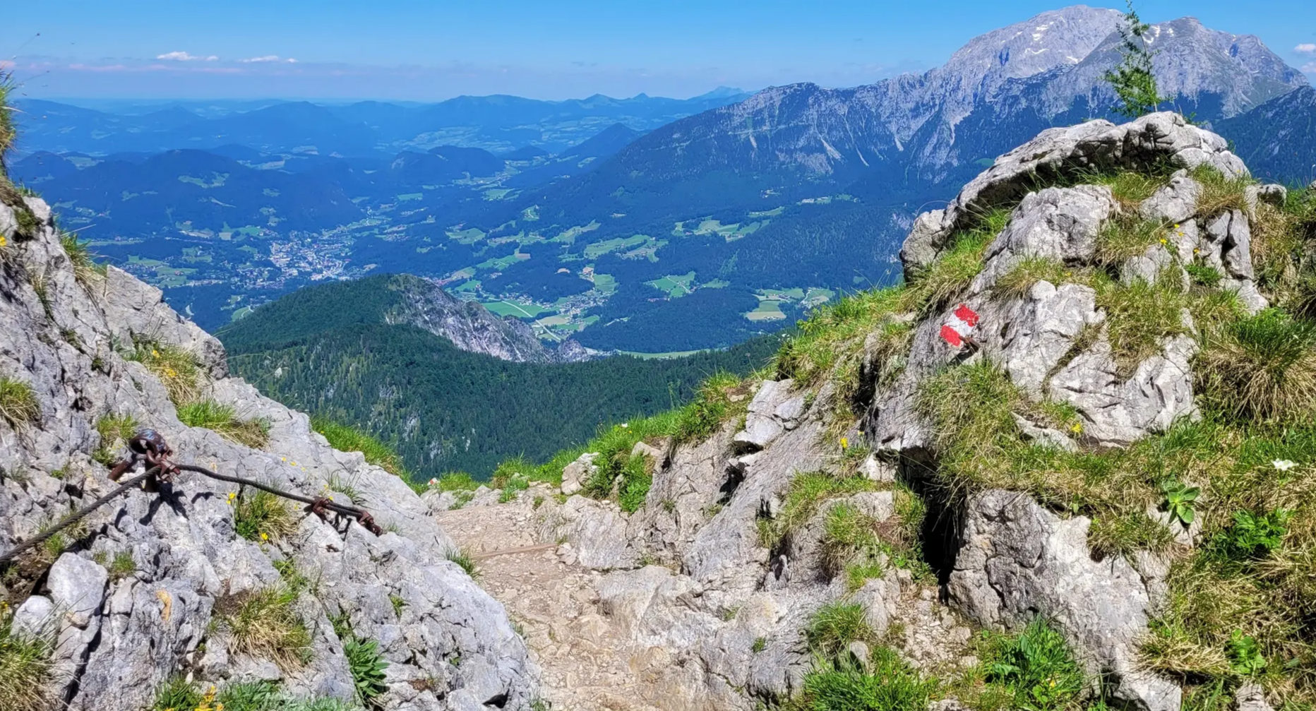
Wanderparadies Berchtesgadener Land: Touren durch echte Bergwelten
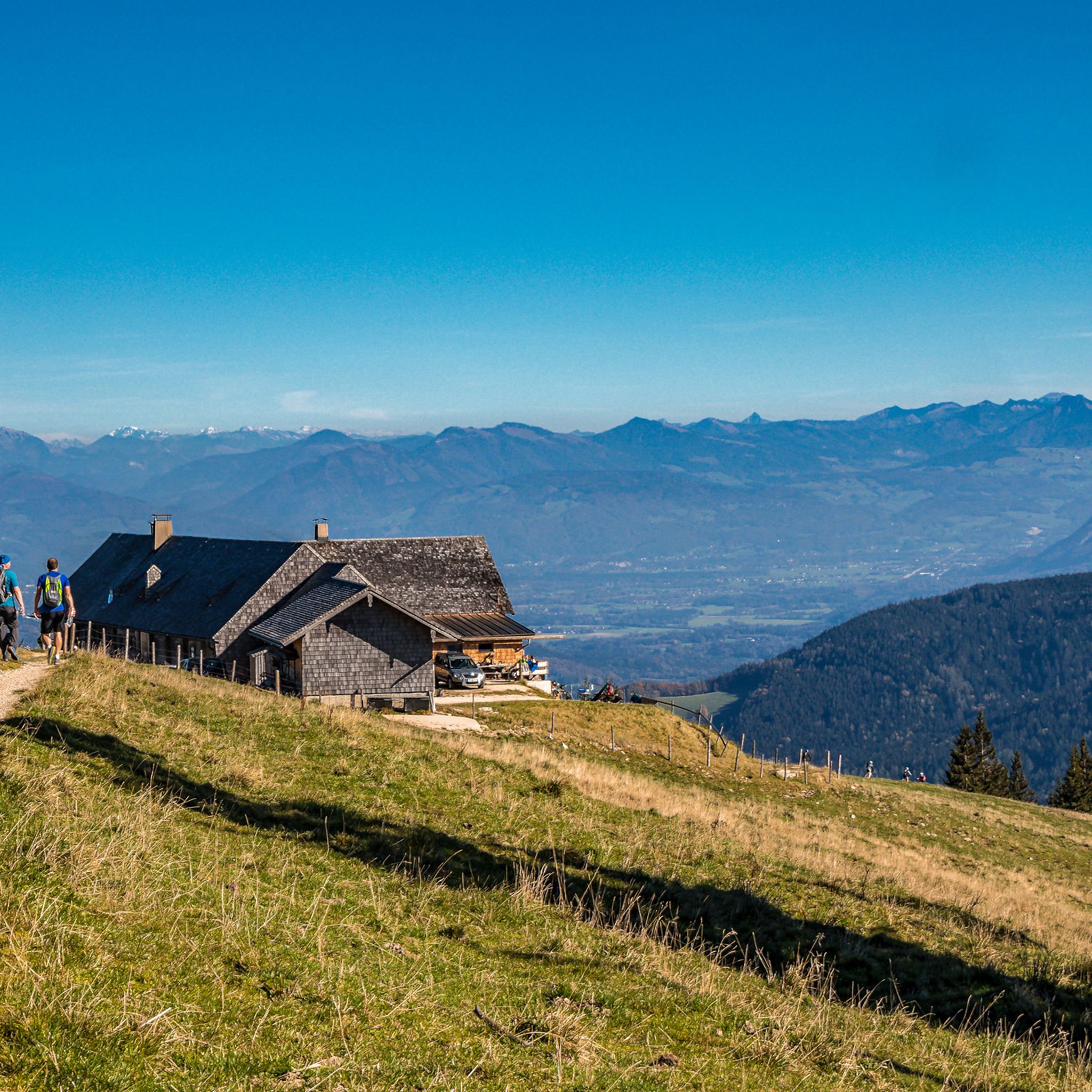
Hiking around Anger
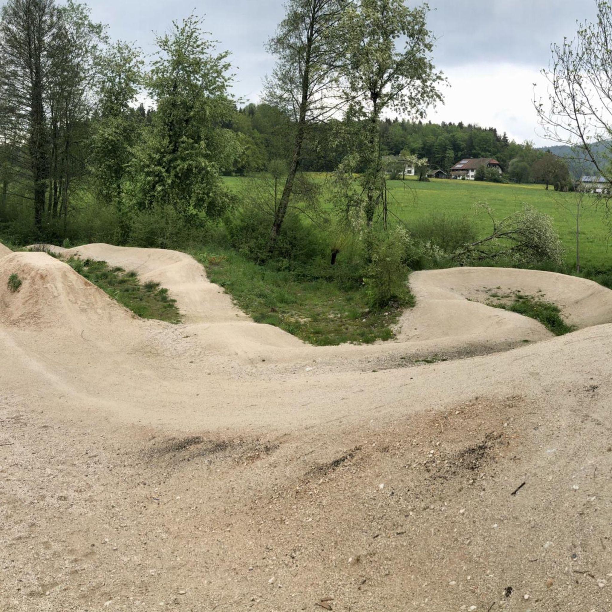
MTB Trails around Anger
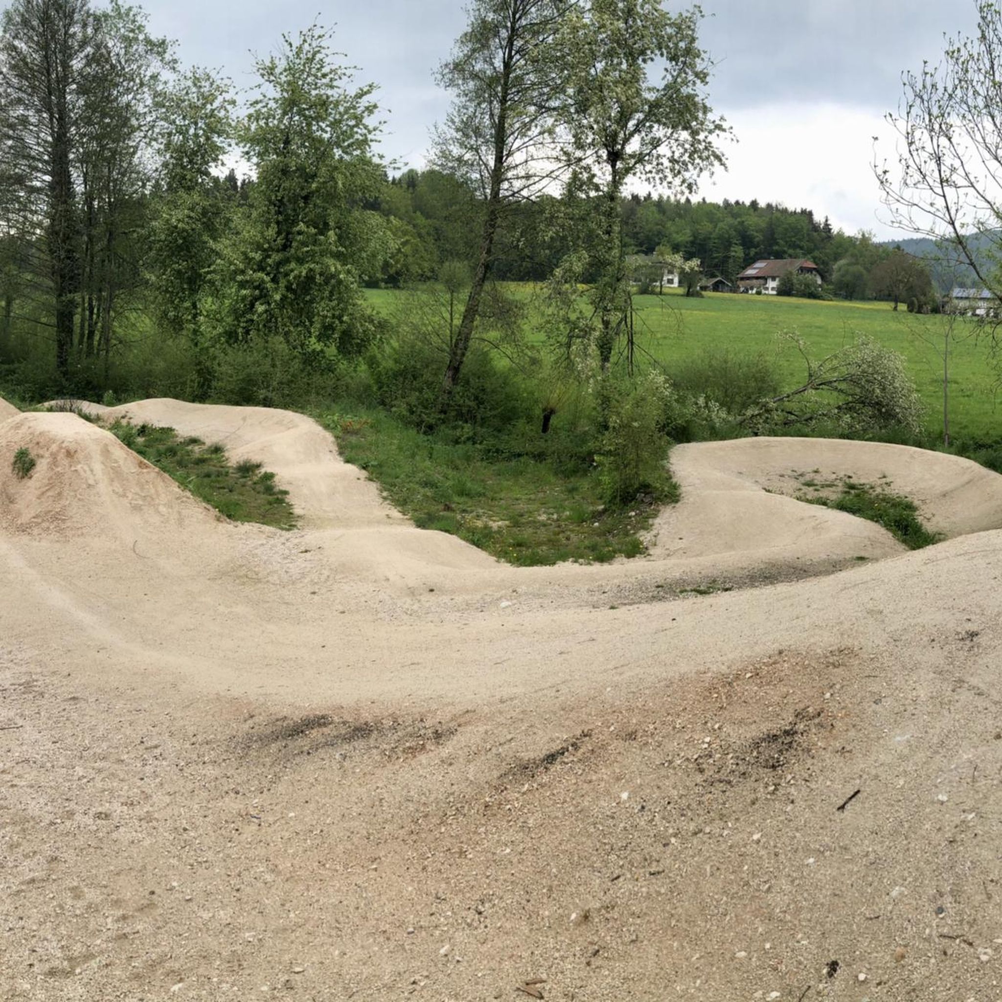
Cycling around Anger
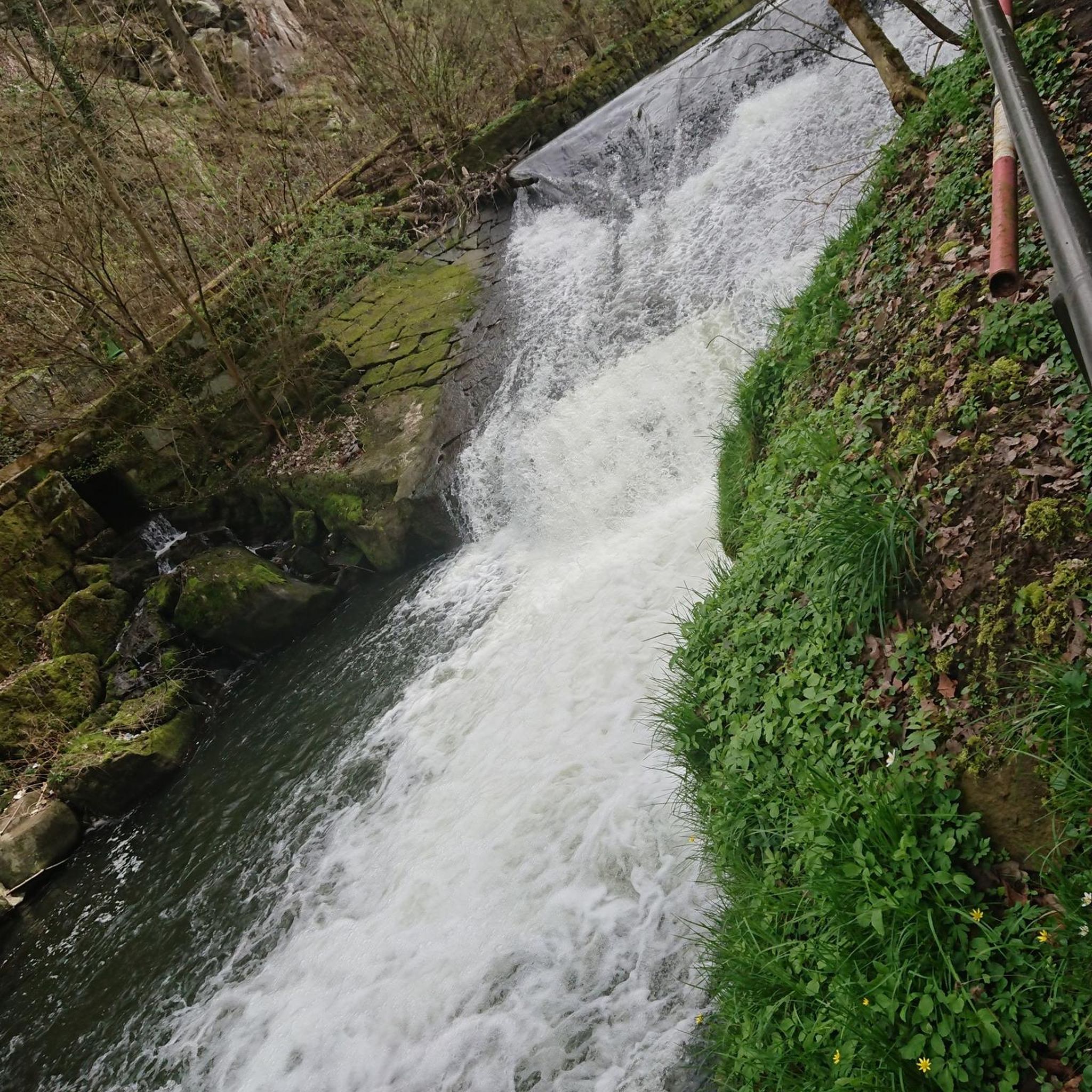
Mountain Hikes around Anger
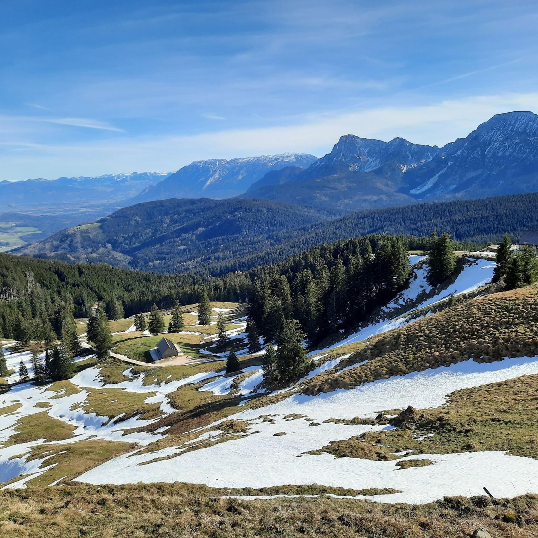
Running Trails around Anger
Gravel biking around Anger
Road Cycling Routes around Anger
Other adventures around Anger

Tips from the Community

Great to ride, paved, High speed! Almost missed the cross!😜
0
0


The Falkenstein forms a small, isolated mountain range stretching north-northeast. It stretches over 1.9 kilometers but is only 1 kilometer wide. To the north is the 785 meter high Söldenberg. The Falkenstein range has two peaks - a 1092 meter high pre-summit with a summit cross in the north (north peak) and the actual 1181 meter high main peak at the southern end of the range. Orographically, the southwest side of the Falkenstein range is separated from the Kienbergl (1135 m) in the west by a rather narrow valley. A small stream flows through this valley, ending in the Zwingsee at the western foot of the mountain, and it is also crossed by the German Alpine Road (B 305). The east side of the Falkenstein forms the wide valley, which separates it from Scharnkopf (1356 m) and Gruberhörndl (1493 m). The Falkenseebach flows through the Weittal into the Falkensee and then further north in the direction of Inzell. The Falkenseebach rises in several springs at the southern end of the wide valley west below the Great Tower (1120 m). Just under 900 meters southwest of the main summit, the so-called Weißbach waterhole also flows out of the so-called water hole at the end of the Weittal, which, however, continues south past Scharmann in the direction of the Weißbach glacier garden. The watershed between the catchment area of the Rote Traun and the Saalach runs between these two source areas. At the northeast end of the Falkenstein below the Söldenberg is the Krottensee, whose small outflow flows into the Falkenseebach on the left. (Wikipedia)
0
0

The eastern driveway starts near Neukirchen am Teisenberg right next to the A8, where the road to Riedl branches off into the forest. On the following two kilometers there are now 154 meters of altitude to conquer. Immediately you are confronted with a twelve percent ramp. We initially move parallel to the motorway before the little road bends to the left and thus in a south-westerly to southerly direction. The most difficult section lurks when you leave the forest. Not only the maximum gradient of 13 to 14 percent, but also the sunshine on hot summer days make this section particularly hard. You can already see the goal in front of you, but you still have to climb one last trick. The highest point is then reached at an elevated tank and you can plunge into the descent.
1
0
View of the Wartsteinkopf, a 1772 m high pre-summit of the Reiter Alpe. The Reiter Alm, also Reiter Alpe, in Austria also Reither Steinberge, named after the Reit district of the municipality of Unken, is up to 2286 m above sea level. NHN high table mountains of the Berchtesgaden Alps in the federal states of Bavaria (Germany) and Salzburg (Austria). The Reiter Alm is the western boundary of the Berchtesgaden valley basin and rises to the east of the Saalachtal near Lofer and Unken.
0
0

A wonderful piece of forest to Bad Reichenhall with a paved bike path great to ride.
2
0

Beautiful vantage point to take a breather.
0
0

Great route, but the ascent and descent is not for everyone 🚲
4
0
Frequently Asked Questions
What are some popular mountain passes for cycling or hiking near Anger?
The region around Anger offers several popular mountain passes. For cyclists, Hallthurmer Berg is a well-known route featuring a paved bike path through a forest, though it includes steep sections. Another popular spot is Bichl Pass (740 m), which offers a scenic route and a good viewpoint. For those seeking a challenging climb, the Steep Ascent to Riedl Pass presents ramps of up to 14 percent gradient.
Which mountain passes offer the best viewpoints around Anger?
Several passes and nearby locations provide excellent views. Bichl Pass (740 m) is noted as an intermediate mountain pass with a beautiful vantage point to take a breather. Additionally, the View of Falkenstein offers stunning vistas of the surrounding mountain range and valleys.
What is the difficulty level of mountain passes around Anger?
The mountain passes around Anger cater to various difficulty levels. You'll find intermediate passes like Bichl Pass (740 m) and Inzeller Höhe, which are suitable for many visitors. For those seeking a more demanding experience, the Steep Ascent to Riedl Pass is categorized as challenging, featuring steep ramps of up to 14 percent.
Are there mountain passes suitable for beginners near Anger?
While specific 'beginner' passes aren't explicitly highlighted, intermediate passes like Bichl Pass (740 m) and Inzeller Höhe offer scenic routes that are less strenuous than the most challenging climbs. The paved bike path through a forest at Hallthurmer Berg, while having steep sections, can also be approached with caution by those newer to mountain cycling.
What is the best time of year to visit the mountain passes around Anger?
Many passes in the wider Alpine region, such as the Großglockner High Alpine Road, are typically open from early May to October. However, some passes like Zellerrain Pass and Haselrast in Austria are open year-round and often snow-free even in mid-November due to their lower elevation. For passes directly around Anger, the warmer months generally offer the best conditions for cycling and hiking, though some routes may be accessible longer.
Can I visit the mountain passes around Anger in winter?
While higher alpine passes like the Großglockner High Alpine Road are closed in winter due to snow, some lower-elevation passes in the broader region, such as the Zellerrain Pass and Haselrast in Austria, are open year-round and often remain snow-free. For passes directly around Anger, it's advisable to check local conditions, as some routes may be accessible depending on snow levels, especially those at lower altitudes or with paved surfaces.
What outdoor activities can I do near these mountain passes?
The region around Anger offers a variety of outdoor activities. You can explore numerous road cycling routes, including loops like the 'Steep descent from Vachenlueg – View of the Mountains loop' or the 'Saalach Cycle Path – Thumsee loop'. For running enthusiasts, there are trails such as the 'Ölberg Chapel loop' or the 'West shore of Lake Höglwörth – St. James' Church, Anger loop'. If you prefer mountain hiking, you can find routes like the 'Hochstaufen summit – Reichenhaller Hut loop' or the 'Alpine Wildflower Garden – Steiner Alpine Pasture loop'. You can find more details on these activities in the respective guides: Road Cycling Routes around Anger, Running Trails around Anger, and Mountain Hikes around Anger.
Are there historical mountain passes near Anger?
Yes, the broader region includes passes with significant historical context. The Achen Pass, located near the German/Austrian border, was an important commercial route for salt as early as 1495 and later served the Bavarian Army. The Pyhrn Pass in Austria, known as the lowest Alpine pass in the Eastern Alps, has been used since ancient times. These passes offer not just scenic beauty but also a glimpse into centuries of trade and travel.
What do visitors enjoy the most about the mountain passes around Anger?
Visitors particularly appreciate the scenic beauty and the diverse challenges offered by the mountain passes around Anger. The paved bike path through the forest at Hallthurmer Berg is often praised despite its steepness. The Bichl Pass (740 m) is loved for its beautiful vantage point, perfect for a short break. The region's mix of challenging climbs and intermediate routes through picturesque landscapes makes it a rewarding destination for outdoor enthusiasts.
Are there any mountain passes that connect different valleys or regions?
Yes, several mountain passes in the wider region serve as important connectors. The Achen Pass, for instance, connects the Tegernsee valley in Bavaria with the Achental valley in Tyrol, Austria. Similarly, the Pyhrn Pass in Austria connects the towns of Spital am Pyhrn and Liezen, serving as a crucial north-south route through the Alps. These passes are not only functional but also offer incredibly scenic journeys between regions.
What kind of natural features can I expect to see around the mountain passes?
The mountain passes around Anger and in the broader Alpine region are set amidst stunning natural beauty. You can expect to see diverse landscapes ranging from dense forests, as found along the paved bike path at Hallthurmer Berg, to expansive alpine vistas. Higher passes, like the Großglockner High Alpine Road, offer breathtaking views of snow-capped peaks, waterfalls, and sometimes even snow alongside the road well into the season. Many passes also feature scenic viewpoints, such as the one at Bichl Pass (740 m).
Most popular routes around Anger
Most popular attractions around Anger

Get inspired with the komoot mobile app


Explore more
See even more epic mountain passes by checking out these guides around Anger:
