Top 13 Natural Monuments around Schlichting
Best natural monuments around Schlichting are found within a landscape characterized by green meadows, fields, and numerous canals, typical of the Eider-Treene-Sorge Lowlands. This agricultural region in Schleswig-Holstein offers flat terrain and waterways. While the area's natural appeal lies in its rural setting and proximity to the North Sea, the designated natural monuments include a mix of viewpoints, historical sites, and man-made structures that are integral to the region's character. These sites provide insight into both the natural environment and…
Last updated: June 24, 2026
Observation Tower Lundener Niederung
Highlight • Viewpoint
Translated by Google •
Tip by

Old Harbor Schülperneuensiel
Highlight • Historical Site
Translated by Google •
Tip by

Sign up now to discover places like this
Get recommendations on the best single tracks, peaks, & plenty of other exciting outdoor places.
Sign up for free
Megalithic Tomb
Highlight • Historical Site
Translated by Google •
Tip by

Memorial Stone for the Schleswig-Holstein Uprising
Highlight • Monument
de.wikipedia.org/wiki/Schleswig-Holsteinische_Elevation
Translated by Google •
Tip by

Wadden Sea National Park Administration Tönning
Highlight • Rest Area
Translated by Google •
Tip by

Sign up for free to discover even more natural monuments around Schlichting.
Sign up for free
Already have an account?
Start today with a free account
Your next adventure awaits.
Login or Signup
Tips from the Community

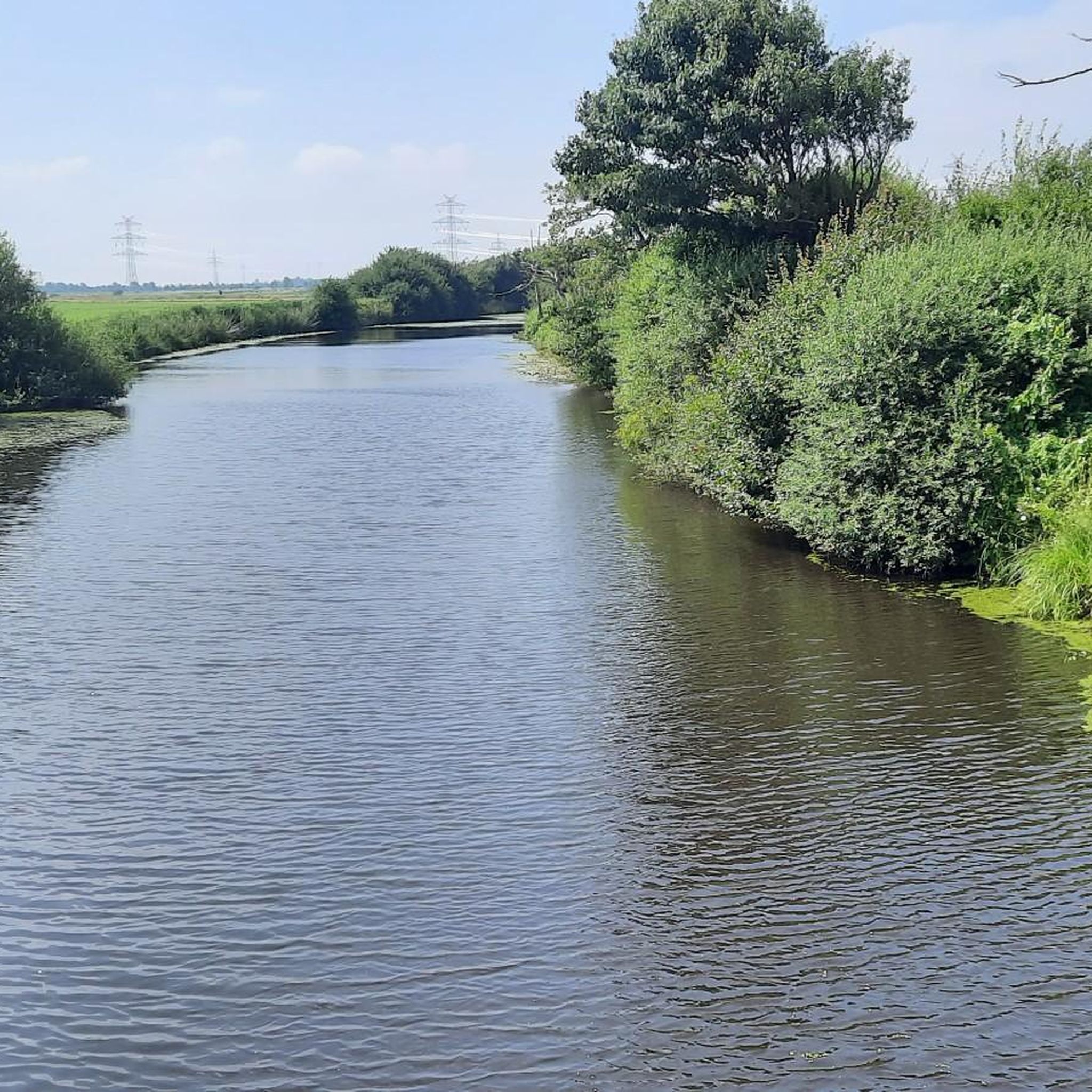
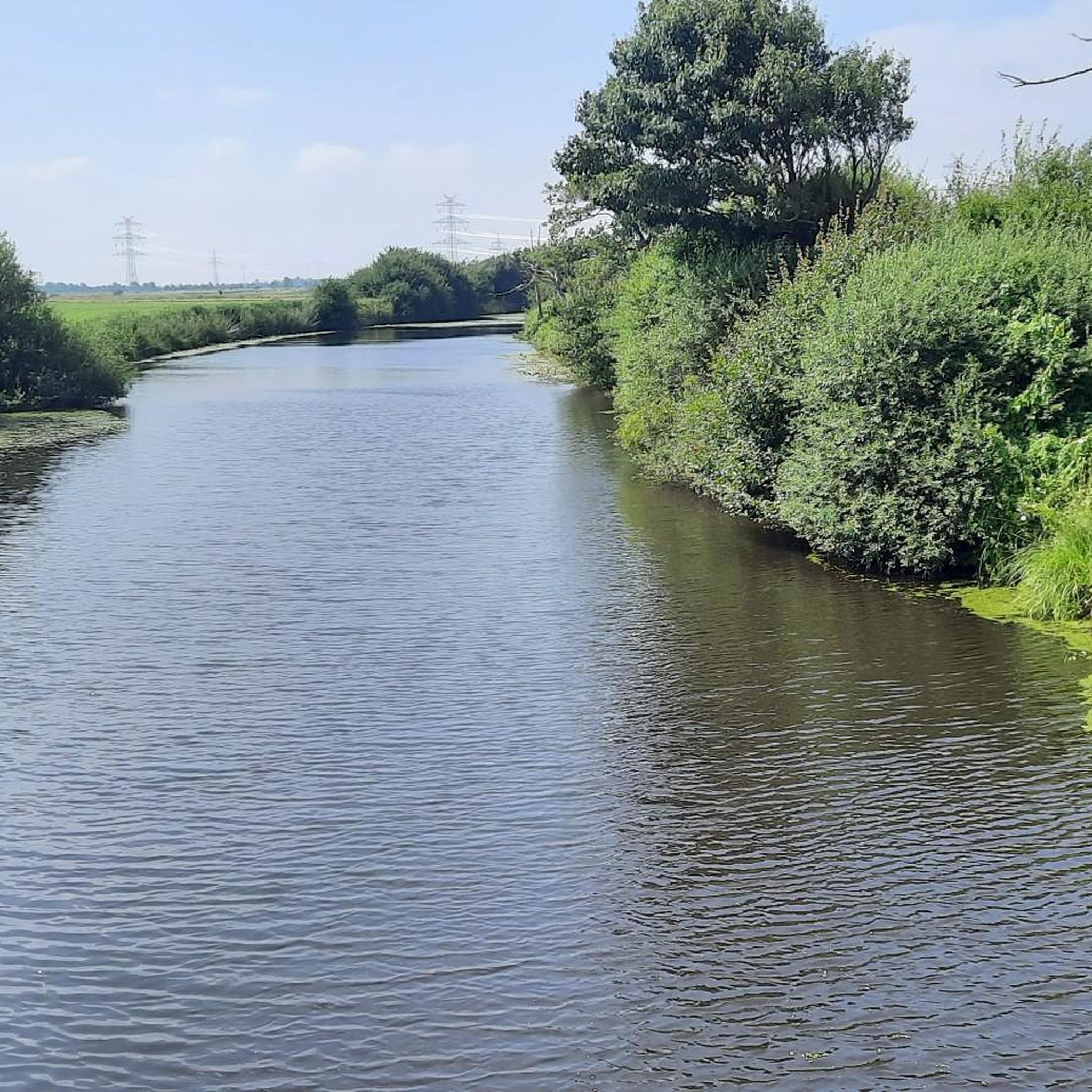
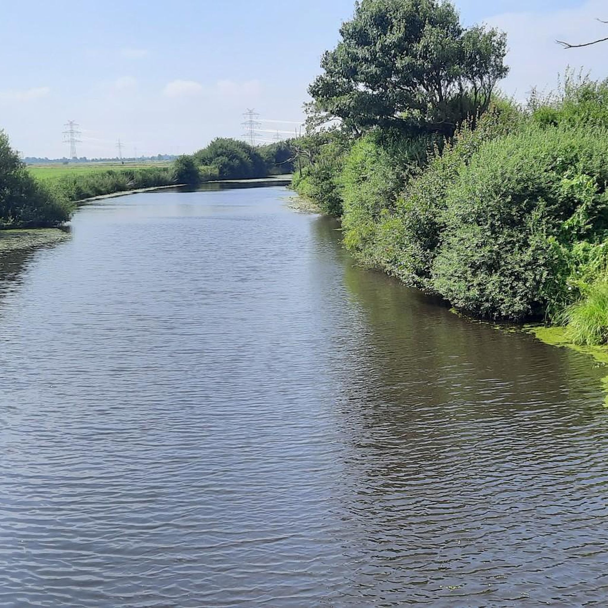
The port of Schülpersiel (often also called port Schülperneuensiel) is a small, idyllic sports boat harbor on the southern bank of the Eider in the Dithmarschen district, Schleswig-Holstein. It is located near Karolinenkoog and is mainly used by the sailing club Eiderdamm e.V. (SVED).
3
0

Here you have a good overview of the Lundener Moor
0
0

Very beautiful especially at sunset
0
1

The listed memorial stone is a boulder with a coat of arms relief and an inscription in gold letters. It reads: In memory of the Schleswig-Holstein uprising on March 24, 1848 and in memory of those from the municipality of Blankenese who fell in the war against Denmark in 1848-1849.
1
0


From here we saw a deer with a fawn.
0
0

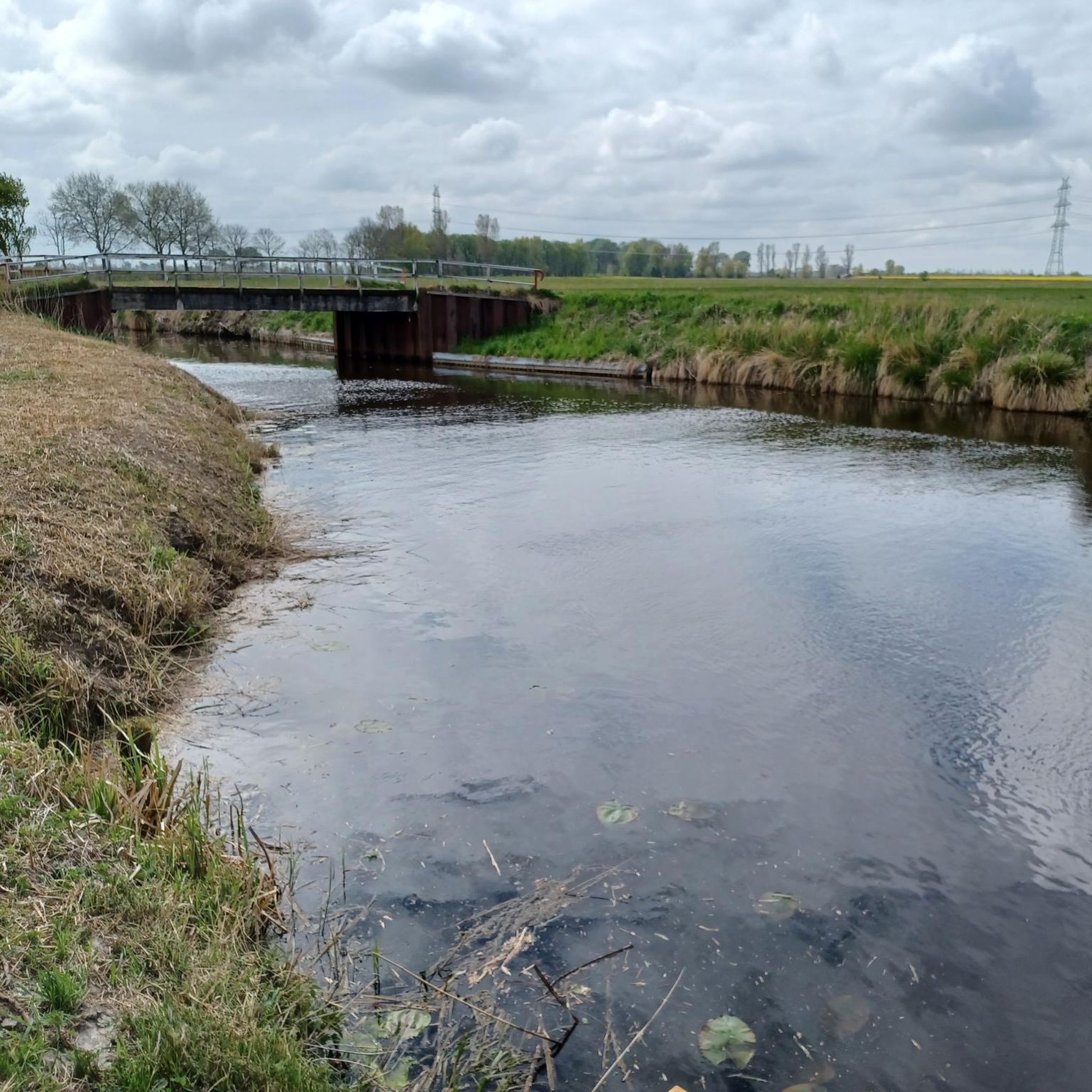
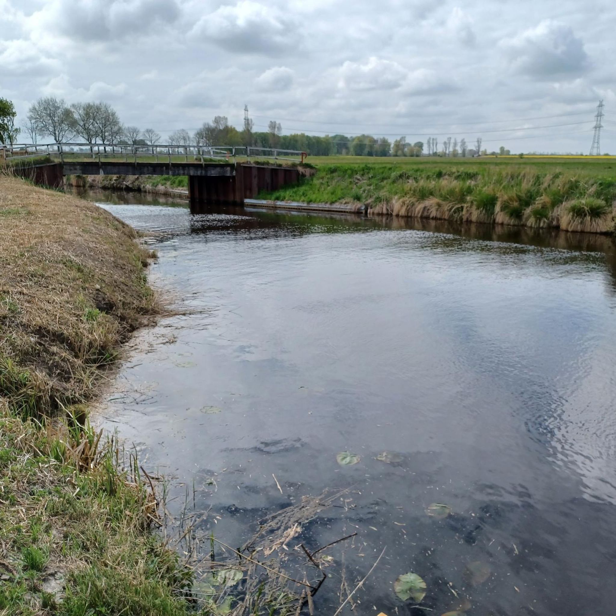
The port of Schülperneuensiel is located in the dike foreland on the south bank of the Eider. Around 1600, Neuensiel was relocated to the new sea dike. When the Karolinen- and Wesselburenerkooges were re-covered, Neuensiel remained. Today's drainage sluice was built in 1964/65. This is a peak pumping station with a dyke. Normally, the dyke is used for drainage, but the pumping station is switched on when the Eider reaches peak water levels. Three pumps can pump a total of 11,400 liters per second into the Eider. The sluice associations Wesselburenerkoog, Karolinenkoog, Schülperweide, Hillgroven, Schülp, Strübbel and Neuenkirchen drain an area of 6,321 hectares here. Inside the pumping station is a five to six hectare reservoir. 75,000 cubic meters of water can be absorbed here. There used to be a lot of shipping traffic in the port. The main commodity was grain. Today the port area is leased to sailors. The Eider foreland and the tidal flats are part of a salt and brackish water area of the Eider estuary that was designated as a nature reserve in 1989 and is influenced by the tides. The characteristic plant and animal species that occur are protected on around 620 hectares. Despite the change in the tidal rhythm, the associated changes in salinity and the bank vegetation due to the construction of the Eider barrage in 1973, numerous red-listed species have found a refuge here; the Eider estuary is still considered a wetland of international importance.
3
0
The Schleswig-Holstein Wadden Sea National Park Administration is located in the Castle Park of the town of Tönning. It is responsible for the national park, e.g. through nature conservation regulations, environmental observations as well as education and public relations work. As part of public relations work, the national park and all of its themes are brought closer to people through flyers and information boards.
1
0
Frequently Asked Questions
What kind of natural monuments can I explore around Schlichting?
The natural monuments around Schlichting offer a blend of natural settings and historical significance. You can find viewpoints like the Observation Tower Lundener Niederung, historical sites such as the Old Harbor Schülperneuensiel and the Megalithic Tomb, and man-made monuments like the Memorial Stone for the Schleswig-Holstein Uprising. These sites are integral to the region's character, set within a landscape of green meadows, fields, and canals.
Are there good spots for wildlife observation near Schlichting?
Yes, the Observation Tower Lundener Niederung is an excellent spot for wildlife observation. It offers expansive views over the Lundener Niederung nature reserve, where you might spot sea eagles and other local wildlife. The broader region also offers opportunities for wildlife safaris to observe red deer in autumn.
What historical sites are designated as natural monuments in the area?
Several historical sites are recognized as natural monuments around Schlichting. These include the Old Harbor Schülperneuensiel, where you can see a pumping station and learn about its past as a shipping hub, now part of a nature reserve. Another significant site is the Megalithic Tomb, an ancient burial site dating back to 2800 BC. Additionally, the Memorial Stone for the Schleswig-Holstein Uprising commemorates a historical event with a boulder and coat of arms relief.
Are there family-friendly natural monuments around Schlichting?
Yes, all the highlighted natural monuments in the area are considered family-friendly. Places like the Observation Tower Lundener Niederung, the Old Harbor Schülperneuensiel, and the Megalithic Tomb offer engaging experiences for all ages, combining nature, history, and opportunities for exploration.
Can I find accessible natural monuments in the Schlichting area?
The Wadden Sea National Park Administration Tönning is a wheelchair-accessible facility where you can learn about the national park and its conservation efforts. While specific natural features might vary in accessibility, this administration center provides an inclusive starting point for understanding the region's natural heritage.
What outdoor activities can I do near these natural monuments?
The region around Schlichting offers various outdoor activities. You can explore the flat terrain with cycling, including gravel biking and road cycling routes. There are also MTB trails available. The nearby North Sea coast provides opportunities for water sports and sunbathing during summer.
What is the best time of year to visit the natural monuments around Schlichting?
The best time to visit depends on your interests. Summer is ideal for enjoying the nearby North Sea coast, offering opportunities for water sports and sunbathing. Autumn is excellent for wildlife observation, particularly for red deer safaris in the broader region. The natural landscape of meadows and canals can be appreciated throughout the warmer months.
What makes the landscape around Schlichting unique?
The landscape around Schlichting is unique due to its location within the Eider-Treene-Sorge Lowlands. It's characterized by flat terrain, extensive green meadows, agricultural fields, and a network of numerous canals. Its proximity to the North Sea, just a few minutes away by car, also adds to its distinct natural character.
Where can I learn more about the Wadden Sea National Park near Schlichting?
You can visit the Wadden Sea National Park Administration Tönning. Located in the Castle Park of Tönning, this facility is responsible for the national park's conservation, environmental observations, and public education, offering flyers and information boards to learn about this internationally important wetland.
What do visitors particularly enjoy about the natural monuments around Schlichting?
Visitors appreciate the diverse experiences offered by the natural monuments. They enjoy the expansive views from the Observation Tower Lundener Niederung, with chances to spot sea eagles. The historical insights provided by sites like the Old Harbor Schülperneuensiel and the ancient Megalithic Tomb are also highly valued. The blend of natural beauty with cultural and historical significance makes these spots popular.
Are there opportunities for mountain biking near Schlichting's natural monuments?
Yes, there are MTB trails around Schlichting. You can find routes that take you through the flat, scenic landscape, offering a different way to experience the region's natural beauty and proximity to various points of interest.
Most popular attractions around Schlichting

Get inspired with the komoot mobile app


Explore more
Extend your search for the best caves by checking out these guides of the top ones around Schlichting:
