Top 20 Natural Monuments around Bayerbach
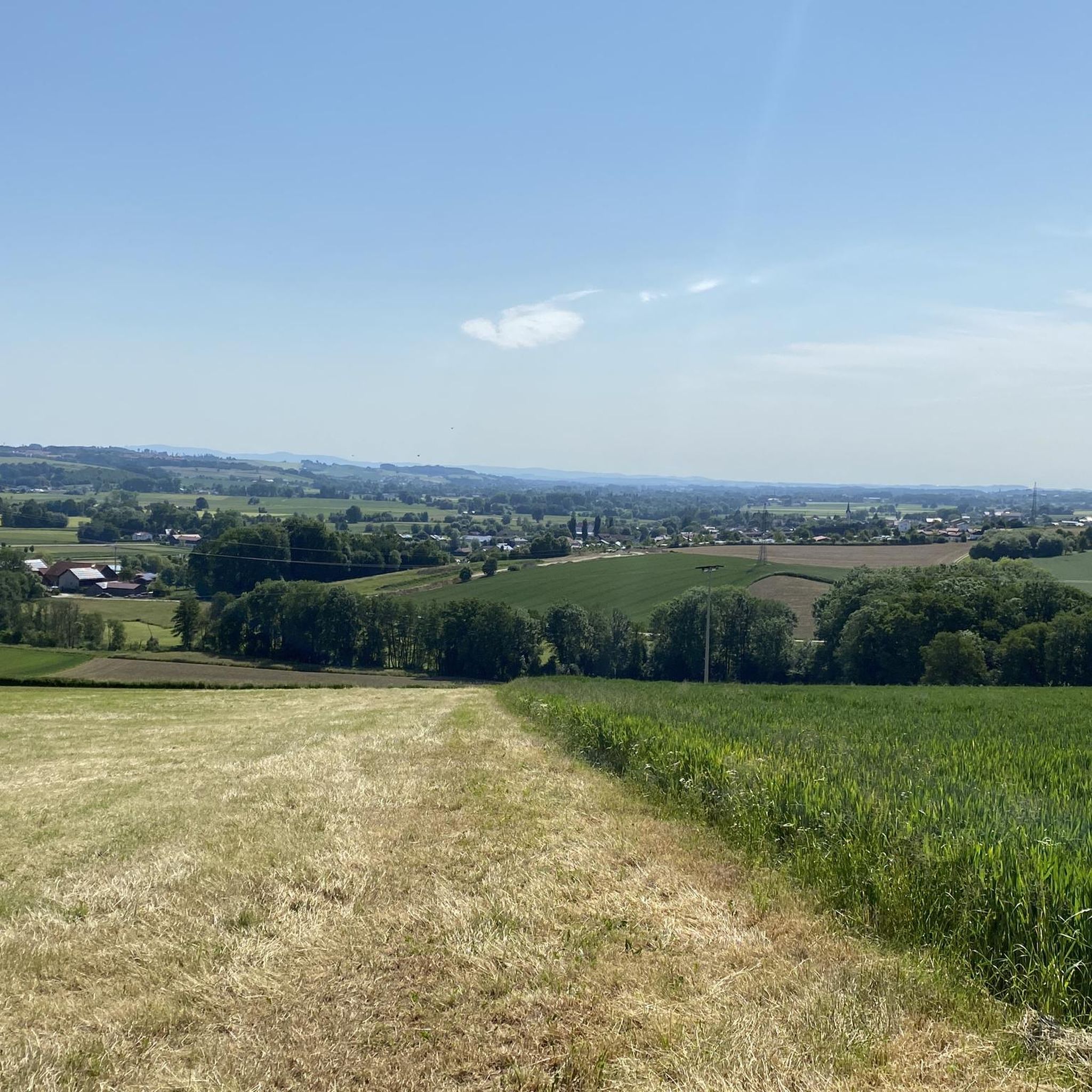
Natural monuments around Bayerbach showcase diverse natural landscapes within the Rottaler Hügelland. This region is characterized by rolling hills, river floodplains, and extensive wooded areas. The area provides opportunities to experience traditional Bavarian countryside and geological formations. Visitors can explore various natural features, including unique rock formations and block streams.
Best natural monuments around Bayerbach
- The most popular natural monuments is Crocodile Rock, a natural monument that is a distinctive quartz conglomerate block. This landmark is visible from afar…
Last updated: September 1, 2026
Crocodile Rock
Highlight • Natural Monument
Showing Translation
Tip by

Forest Wonderland Bad Griesbach
Highlight • Forest
Translated by Google •
Tip by

Sign up now to discover places like this
Get recommendations on the best single tracks, peaks, & plenty of other exciting outdoor places.
Sign up for free
Kaser Steinstube Blockstream
Highlight • Natural Monument
The impressive block stream of the "Kaser Steinstube" begins below the quartz conglomerate horizon, which is broken into large plates and is located …
Translated by Google •
Tip by

Aunhamer Spitz Barrow Graves Field
Highlight • Historical Site
Translated by Google •
Tip by

Teufelstein of Halmstein
Highlight • Natural Monument
The quartz conglomerate ridge protrudes very conspicuously and isolated from the morphological terrain ridge. Former quartz gravel was largely …
Translated by Google •
Tip by
Sign up for free to discover even more natural monuments around Bayerbach.
Sign up for free
Already have an account?
Start today with a free account
Your next adventure awaits.
Login or Signup

Tips from the Community

The Teufelsfels with its history documented in nature on site,
0
0

Viewed from a distance, you can definitely recognize a crocodile head.
12
0

Incredibly beautiful area that I always enjoy hiking through. It's worth it!
0
0

What nature creates in combination with human imagination...
2
0

The Devil's Stone of Halmstein > a geotope and natural monument The quartz conglomerate ridge protrudes very conspicuously and isolated from the morphological terrain ridge. Former quartz gravel was largely silicified during diagenesis, so that the rock today consists almost exclusively of SiO2. The layer surface of the steeply standing block consists of quartzite (originally sandstone) and has scour-like erosion forms. (Bavarian State Office for the Environment (LfU)) https://www.umweltatlas.bayern.de/standortauskunft/rest/reporting/sb_geotope/generate?additionallayerfieldvalue=275R009
1
0
Block stream Kaser Steinstube > a geotope The impressive block stream of the "Kaser Steinstube" begins below the quartz conglomerate horizon, which is broken into large plates and is located at the edge of the plateau, and stretches down the slope for more than 100 m. A temporary stream flows through it. In some places the quartz conglomerate blocks pile up on top of each other and form small cover caves. The block stream was formed in the Pleistocene at a time of increased erosion and soil flow in the periglacial area. The geotope was awarded the "Bavaria's 100 most beautiful geotopes" seal of quality and is explained on site with an information board. Further information at: https://www.lfu.bayern.de/geologie/bayerns_schoenste_geotope/index.htm. https://www.umweltatlas.bayern.de/standortauskunft/rest/reporting/sb_geotope/generate?additionallayerfieldvalue=277R001 (Bavarian State Office for the Environment (LfU))
2
0
Crocodile Rocks of Landerham >a geotope This quartz conglomerate block, which has a crocodile-like shape when viewed from the southeast, forms a landmark that can be seen from afar in an open field. The block is the remnant of a formerly more widespread conglomerate cover and probably slipped from its original higher location within a solifluction cover in the Pleistocene. The block shows, as is often the case in the quartz conglomerate bank, a grain size change from gravel (conglomerate) to sand (sandstone). (Bavarian State Office for the Environment (LfU)) More information: https://www.umweltatlas.bayern.de/standortauskunft/rest/reporting/sb_geotope/generate?additionallayerfieldvalue=277R002
3
0
Movement is the goal! Get out whatever the weather! This location is worth it at any time of the year!
0
0
Frequently Asked Questions
What kind of natural landscapes can I expect to see around Bayerbach?
Bayerbach, particularly in the Rottal-Inn district, is characterized by the unspoilt nature of the Rottaler Hügelland, featuring rolling hills, extensive Rottauen (river floodplains), and wooded ridges like the Steinberg. If you're near Bayerbach bei Ergoldsbach, you'll find yourself close to the Altmühltal Nature Park, known for its diverse landscapes including meadows, forests, and unique rock formations.
Are there any unique geological formations to explore?
Yes, the region boasts several distinctive geological features. You can visit Crocodile Rock, a quartz conglomerate block resembling a crocodile from a certain angle. Another impressive site is Kaser Steinstube Blockstream, an extensive block stream with small cover caves. Additionally, the Teufelsfelsen (Devil's Rocks) offers two large rocks forming a small cave.
Are there hiking trails suitable for different skill levels near the natural monuments?
Yes, there are various hiking opportunities. For easy walks, consider routes like the 'Vitalcamp Bayerbach – View of the Rottal Valley loop from Bayerbach an der Rott' (4.7 km) or the 'Rott River – Tree-Lined Avenue loop from Bayerbach an der Rott' (5.8 km). More moderate options include the 'View of the Rottal Valley – Bayernbach Railway Station loop from Bayerbach' (10.5 km). You can find more details and routes in the Hiking around Bayerbach guide.
Can I go cycling near the natural monuments in Bayerbach?
Absolutely. The area offers several cycling routes. Easy options include the 'Cycle Path Along PAN 13 – Rott Bridge loop from Bayerbach' (15.9 km) or the 'Rott Bridge – Cycle Path Along PAN 13 loop from Bayerbach' (10.1 km). For more challenging rides, try the 'Cycling on the Inn Dike – Braunau Town Square loop from Bayerbach' (55.5 km). Explore more routes in the Cycling around Bayerbach guide.
Which natural monuments are suitable for families with children?
Many natural monuments in the region are family-friendly. The Forest Wonderland Bad Griesbach offers a mystical forest experience and a playground nearby. The Kaser Steinstube Blockstream is often highlighted by visitors as a great spot for children. Additionally, trails along the Große Laber river are particularly suitable for families due to their manageability and opportunities for play and discovery.
Are there any historical natural monuments or sites of interest?
Yes, the Aunhamer Spitz Barrow Graves Field is a significant historical site. It is one of the largest barrow fields in Lower Bavaria, with at least 114 burials dating back to the Bronze and early Iron Ages, offering a glimpse into the region's ancient past.
What is the best time of year to visit the natural monuments around Bayerbach?
The region is beautiful year-round. Spring and autumn offer pleasant temperatures for hiking and cycling, with vibrant foliage in autumn. Summer is ideal for enjoying the green landscapes and outdoor activities. Even in autumn, the Forest Wonderland Bad Griesbach can be particularly mystical when fog passes through.
What do visitors enjoy most about the natural monuments in Bayerbach?
Visitors appreciate the unspoiled nature and the sense of discovering an 'undiscovered piece of old Bavaria.' The unique geological formations like Crocodile Rock and Kaser Steinstube Blockstream are frequently mentioned as highlights. The peaceful environment, opportunities for relaxation, and varied hiking and cycling routes are also highly valued.
Are there any running trails near the natural monuments?
Yes, there are several running trails available. You can find moderate routes like the 'Running loop from Bayerbach an der Rott' (6.4 km) or the 'Hydroelectric power plant on the Rott loop from Bayerbach an der Rott' (9.0 km). More options are detailed in the Running Trails around Bayerbach guide.
Are there any natural monuments that offer panoramic views?
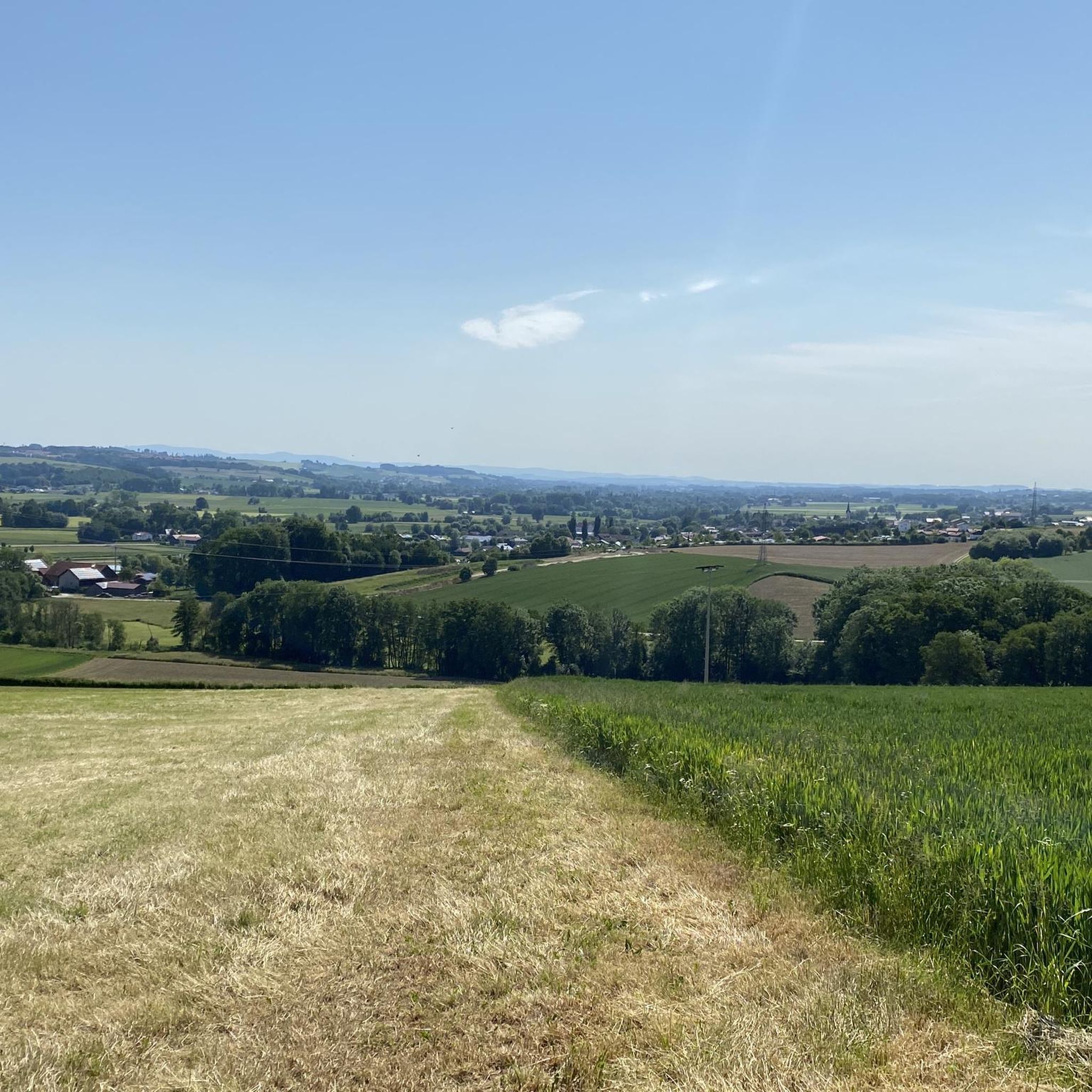
While specific viewpoints are not always designated as natural monuments, the Rottaler Hügelland and the Steinberg ridges offer opportunities for panoramic views of the valley. The Panoramaweg around Unterbubach, near Bayerbach bei Ergoldsbach, also provides impressive views of the entire valley and the distant Bavarian Forest mountains.
Can I find cafes or accommodation near the natural monuments?
Bayerbach in the Rottal-Inn district is recognized as a state-approved resort, suggesting good infrastructure for visitors, including accommodation and dining options. While specific cafes directly adjacent to every natural monument are not listed, the surrounding villages and towns will offer choices for refreshments and stays.
Are the natural monuments accessible by public transport?
While the region emphasizes rural charm and unspoiled nature, public transport options to the immediate vicinity of all natural monuments might be limited. It's advisable to check local bus schedules or consider personal transport for greater flexibility in reaching some of the more remote natural sites.
Most popular routes around Bayerbach
Most popular attractions around Bayerbach

Get inspired with the komoot mobile app


Explore more
Extend your search for the best caves by checking out these guides of the top ones around Bayerbach:
