Top 20 Natural Monuments around Loitzendorf
Best natural monuments around Loitzendorf are found within the Bavarian Forest region, characterized by its diverse natural features. The area offers access to prominent mountains, ancient forests, and winding river banks. Loitzendorf's terrain elevation provides opportunities for panoramic views and exploration of unique geological formations. This region serves as a gateway to experiencing Bavaria's natural world.
Best natural monuments around Loitzendorf
- The most popular natural monuments is Teufelsstein Rock Formation, a natural monument that features a wall-like, double-towered granite…
Last updated: October 11, 2026
Hadriwa Summit Cross
Highlight • Summit
Translated by Google •
Tip by

Teufelsstein Rock Formation
Highlight • Natural Monument
Translated by Google •
Tip by

Sign up now to discover places like this
Get recommendations on the best single tracks, peaks, & plenty of other exciting outdoor places.
Becken Pond, Wiesenfelden
Highlight • Lake
The first parish register of the diocese, in which Wiesenfelden was mentioned as an independent parish, dates back to 1286. The 15th-century "Gothic" …
Translated by Google •
Tip by

Keltenstein and Granite Rock Formations
Highlight • Natural Monument
Translated by Google •
Tip by

Hadriwa Summit Cross and Viewpoint
Highlight (Segment) • Summit
Translated by Google •
Tip by

Sign up for free to discover even more natural monuments around Loitzendorf.
Already have an account?
Start today with a free account
Your next adventure awaits.
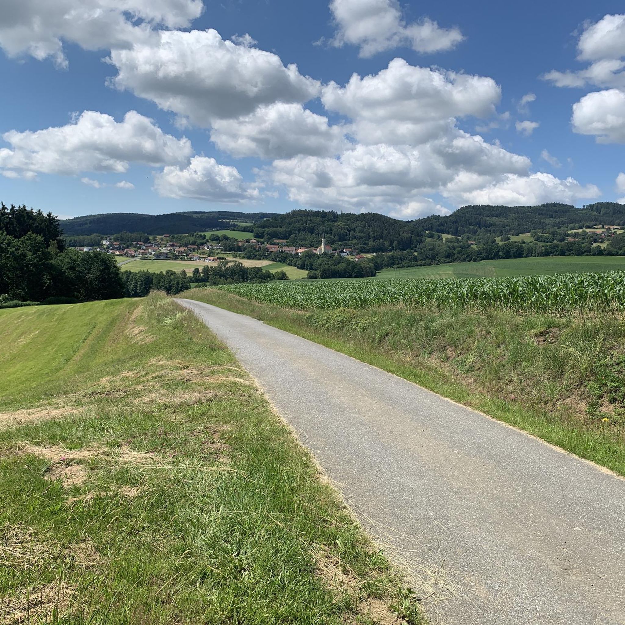
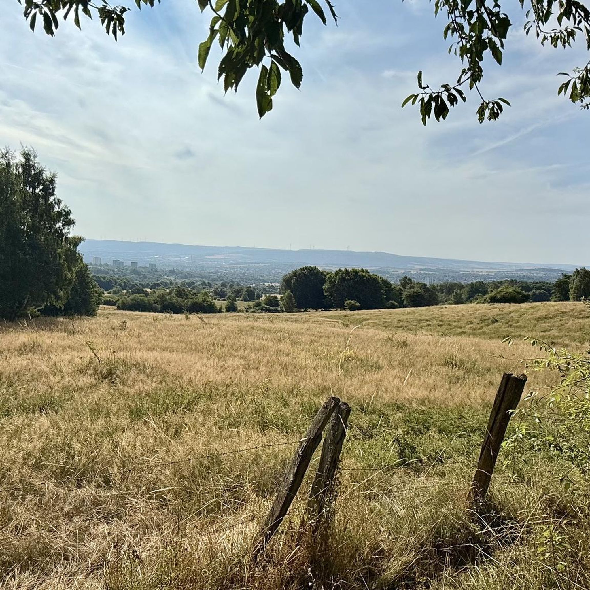
Tips from the Community

Granite cliffs and block sea at the Bärenkapelle – a significant geotop! On the ridge (P. 731) in the forest east of the Kesselbodenkapelle (= Bärenkapelle) granite emerges, which in places forms wall-like summit cliffs. To the south, the rocks have disintegrated into a block field of giant blocks (up to 10 m³). The cliffs and blocks consist of medium-grained granite, which is also quarried in the Steinbruch bei Igleinsberg to the north and forms largely overgrown block seas in the surrounding area. Directly at P. 731, a coarse-grained crystalline granite also emerges. Bavarian State Office for the Environment (LfU). https://www.umweltatlas.bayern.de/standortauskunft/rest/reporting/sb_geotope/generate?additionallayerfieldvalue=276R024
0
0
This important geotop is also called Teufelsmühle. The Teufelsmühle (also named Teufelsstein) is a wall-like, double-towered granite summit cliff with "wollsack" and "matrazen" weathering. In sections with close jointing, the rock is weathered in a honeycomb pattern. At the foot of the southern cliff, a slab of anatectic gneiss penetrated by a pegmatite dyke is preserved in the granite. Bayerisches Landesamt für Umwelt (LfU). https://www.umweltatlas.bayern.de/standortauskunft/rest/reporting/sb_geotope/generate?additionallayerfieldvalue=278R009
0
0

The approach from the north via Oberstein, the last section is already quite steep but doable;
0
0

Parish Church of the Assumption of Mary The first parish register of the diocese, in which Wiesenfelden was mentioned as an independent parish, dates back to 1286. The 15th-century "Gothic" predecessor building had become dilapidated. However, the entire building was not demolished; instead, the choir was skillfully integrated into the new structure by altering the windows and vaulting. The present church was completed in 1764. Wiesenfelden was a very large parish in 1848, with a population of 2,472. The parish also included the curacy of the "Marian pilgrimage site of Heilbrunn" and the "Zinzenzell branch." The altarpiece depicts the Assumption of Mary, in reference to the patron saint (= patronage of a saint over a church). The two side altars formerly depicted Saint Barbara and Saint Wendelin; Since around 1920, the left side altar features figures of the Virgin Mary as Patrona Bavariae, and the image of Archangel Michael with the scales of souls is depicted in the excerpt. The right side altar depicts the figure of St. Sebastian, and the excerpt depicts St. Joseph with the Infant Jesus. The oil painting on the confessional depicts St. Peter, with a life-size cross from the Baroque period above. The front part of the nave is decorated with busts of the four evangelists with their symbols: St. Luke with the bull, St. John with the eagle, St. Mark with the lion, and St. Matthew with the angel. These are Baroque works from the late 17th century. The depictions of the Stations of the Cross are handcrafted oil paintings from the late 17th century. Of the Gothic interior furnishings, only a statue of the Virgin Mary and the figure of St. Sebastian remain. Source: Excerpts from www.bayerischer-wald.de / www.wiesenfelden.de/eigene_dateien/wanderwege/station_7_pfarrkirche_wiesenfelden.pdf
2
0

There's no direct access, but it's only a few meters of rock climbing. If you come from above, you almost rush past without seeing it.
1
0

Beautiful pond in Wiesenfelden
0
0

The Teufelsmühle is located at an altitude of 685 m. The Teufelsstein is a wall-like, double-towered granite summit cliff
7
0

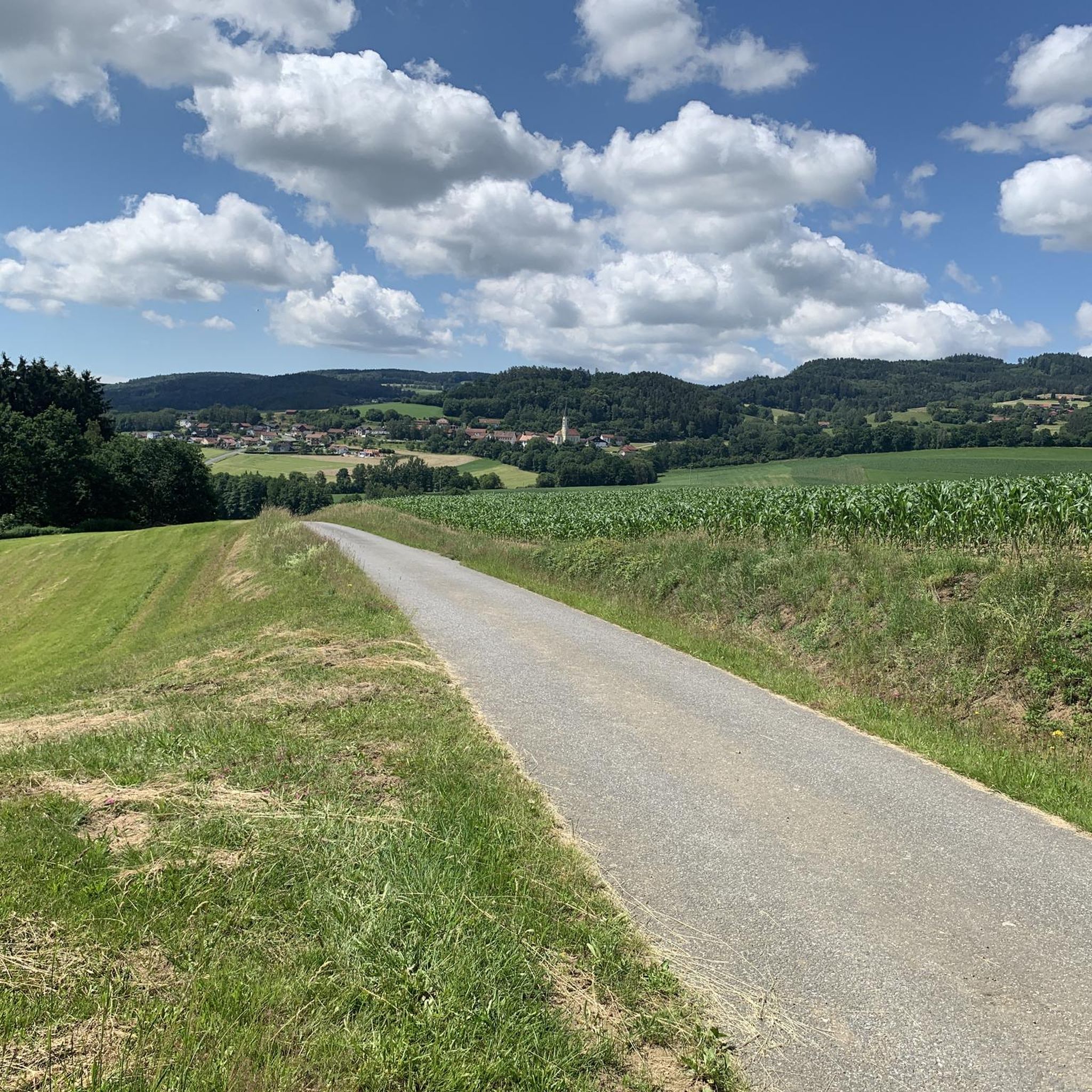
Beautiful cross at the summit with a beautiful view
16
0
Frequently Asked Questions
What are some unique natural features to explore around Loitzendorf?
The region around Loitzendorf, nestled in the Bavarian Forest, offers diverse natural features. You can explore the Teufelsstein Rock Formation, a distinctive wall-like, double-towered granite summit cliff. Another notable feature is the Pfahl, a 150 km long quartz formation, which includes the Pfahlsee (Pfahl Lake).
Are there any prominent mountains or viewpoints near Loitzendorf?
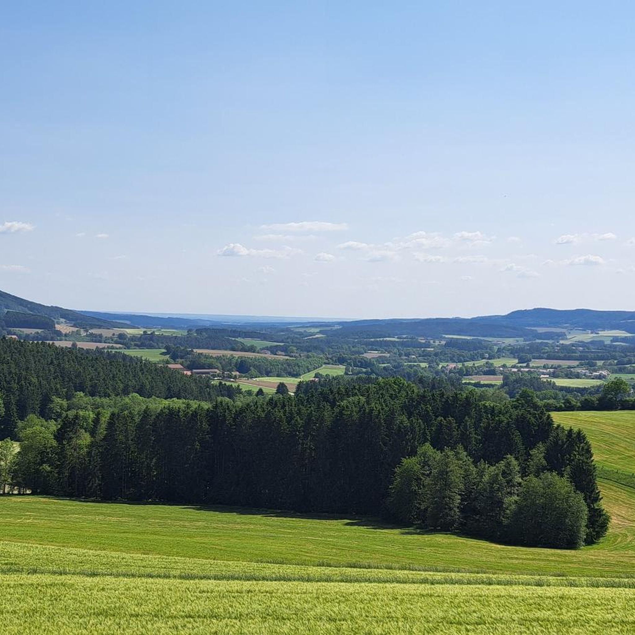
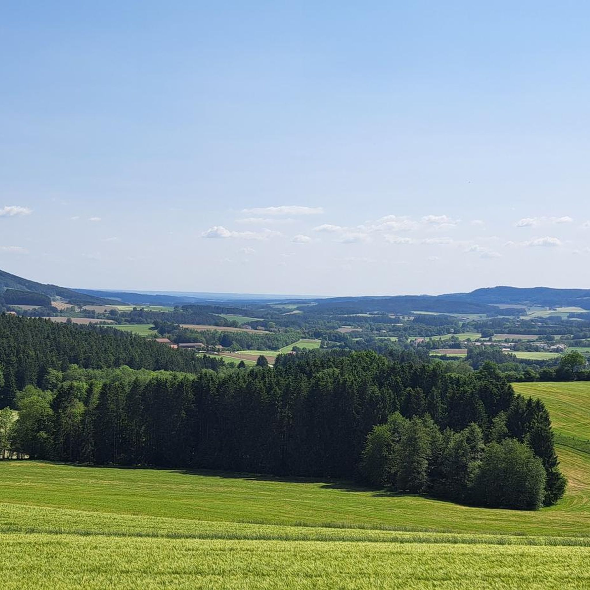
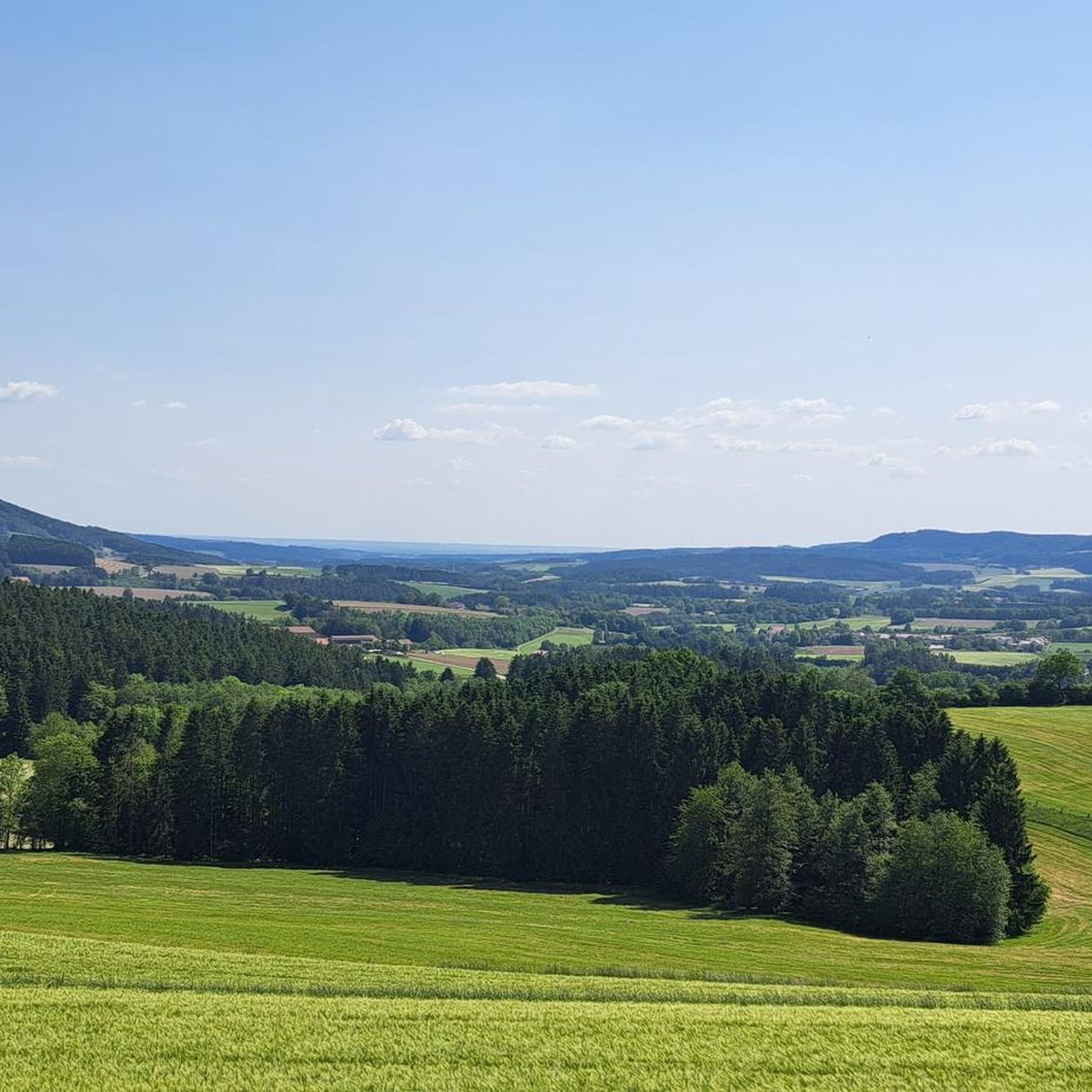
Yes, the Hadriwa Mountain is a prominent feature offering scenic beauty and rewarding views. You can visit the Hadriwa Summit Cross and Viewpoint, which provides great views of the Danube valley, and the Hadriwa Summit Cross, known for its beautiful panoramic vistas after a steep ascent.
What kind of geological formations can I see in the Loitzendorf area?
Beyond the Teufelsstein Rock Formation, the region is part of the Bavarian Forest, which is known for impressive rock formations and geotopes. The Goldsteig hiking trail, accessible from the broader Loitzendorf area, showcases features like the Waldnaabtal with its striking rock formations, the Arberseewand, and the Blockmeer on the Lusen or the Dreisessel.
Are there family-friendly natural monuments around Loitzendorf?
Yes, the Pfahl Playground is a family-friendly natural monument. It offers a nice place for a break with a drinking water fountain and various playground equipment, making it a great spot for families with children to enjoy nature.
What outdoor activities can I do near these natural monuments?
The area around Loitzendorf is excellent for various outdoor activities. You can find numerous hiking trails, such as those leading to the Räuber-Urban Cave or Wetzelsberg. For cycling enthusiasts, there are options for gravel biking and road cycling. The Goldsteig hiking trail, Germany's longest certified trail, also offers extensive opportunities for hiking through unspoiled nature.
Are there hiking trails near the natural monuments?
Absolutely. The region is a hiker's paradise. You can explore trails that lead to the Hadriwa Summit Cross and Viewpoint, which involves a rocky path. The Goldsteig hiking trail, which passes through the broader Loitzendorf area, offers access to primordial forests, winding river banks like the Ilz, and impressive summits. For more local options, check out the hiking guide for Loitzendorf.
What do visitors enjoy most about the natural monuments around Loitzendorf?
Visitors particularly appreciate the extensive panoramic views from summits like Hadriwa, especially in clear conditions. The varied paths through beautiful nature, the unique geological formations like the Teufelsstein Rock Formation, and the tranquility of the ancient forests are also highly valued. The region's natural beauty and opportunities for outdoor activities receive many positive comments and photos from the komoot community.
What is the best time to visit the natural monuments in the Loitzendorf area?
The Bavarian Forest region, including Loitzendorf, offers natural beauty year-round. Spring and autumn provide pleasant temperatures for hiking and cycling, with vibrant foliage in autumn. Summer is ideal for longer excursions and enjoying the views. Winter transforms the landscape into a snowy wonderland, suitable for snowshoeing and cross-country skiing, particularly around areas like Berggasthof Kreuzhaus.
Are there any ancient forests or river landscapes to discover?
Yes, the Bavarian Forest National Park, which is part of the Goldsteig trail and accessible from the broader Loitzendorf area, features ancient, untouched woodlands. These primordial forests are part of the largest contiguous forest mountain range in Central Europe. You can also find picturesque river landscapes, with the Ilz being a notable example as one of the last undeveloped river systems, and the wild Höllbachtal creek valley.
Where can I find parking for natural monuments and hiking trails?
While specific parking details for every natural monument are not listed, many popular hiking trailheads and natural attractions in the Bavarian Forest region typically offer designated parking areas. For example, the area around Berggasthof Kreuzhaus serves as a starting point for various activities, implying accessibility. It's advisable to check local signage or specific trail information for parking options before your visit.
Are dogs allowed on trails around the natural monuments?
Generally, dogs are welcome on many hiking trails in the Bavarian Forest, but regulations can vary. It's common practice to keep dogs on a leash, especially in nature reserves, protected areas, or near wildlife. Always check local signage at trailheads or specific natural monuments for any restrictions or requirements regarding dogs.
What should I wear when visiting natural monuments in the Loitzendorf area?
Given the varied terrain, including rocky paths and steep ascents, sturdy footwear is highly recommended, especially for trails leading to summits like Hadriwa. Layered clothing is advisable to adapt to changing weather conditions, as temperatures can vary, particularly at higher elevations. Waterproof gear is also a good idea, especially during spring and autumn, or if rain is forecast.
Most popular routes around Loitzendorf
Most popular attractions around Loitzendorf

Get inspired with the komoot mobile app


Explore more
Extend your search for the best caves by checking out these guides of the top ones around Loitzendorf:
