Top 20 Natural Monuments around Bernhardswald
Best natural monuments around Bernhardswald are found in the picturesque Bayerischer Vorwald, part of the Regensburg district. This region is characterized by its diverse landscape, including forests, hills, and unique geological formations. It offers numerous natural features and scenic peculiarities, making it suitable for various outdoor activities. The area provides ideal recreational conditions for exploring the natural heritage of the Bavarian Forest foothills.
Best natural monuments around Bernhardswald
- The most popular natural monuments is Wobbling Stone, a natural monument…
Last updated: October 11, 2026
Confluence of the Regen and Danube rivers
Highlight • River
Translated by Google •
Tip by

Regensburg–Falkenstein Railway Cycle Path (Bernhardswald Section)
Highlight • Cycleway
Translated by Google •
Tip by

Sign up now to discover places like this
Get recommendations on the best single tracks, peaks, & plenty of other exciting outdoor places.
Otterbach Stream
Highlight • River
The trail is easy to drive, even for inexperienced drivers.
For professionals, the way could be a bit boring, with the sporadically placed small bridges are well worth seeing.
Translated by Google •
Tip by

Wobbling Stone
Highlight • Natural Monument
Translated by Google •
Tip by

Otterbach Stream
Highlight • River
Translated by Google •
Tip by

Sign up for free to discover even more natural monuments around Bernhardswald.
Already have an account?
Start today with a free account
Your next adventure awaits.
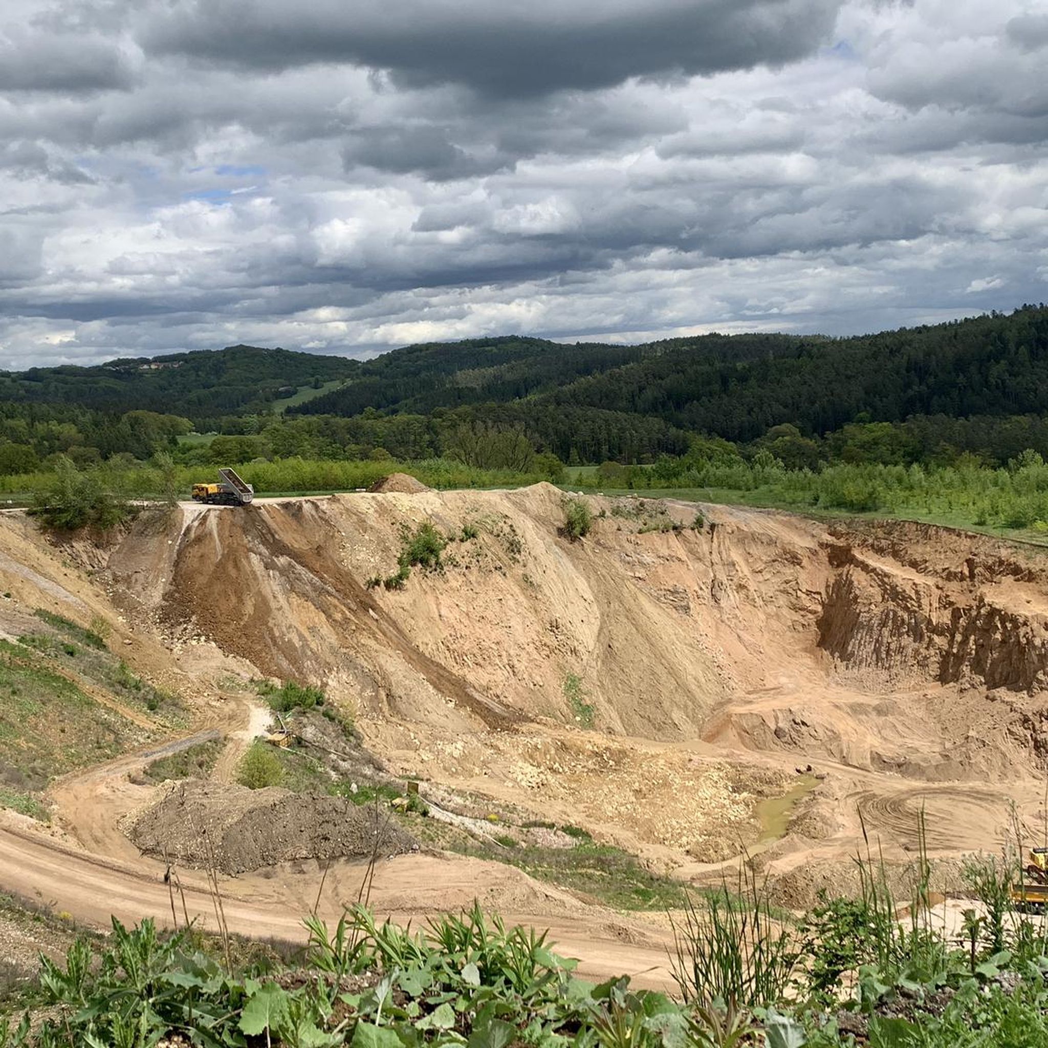
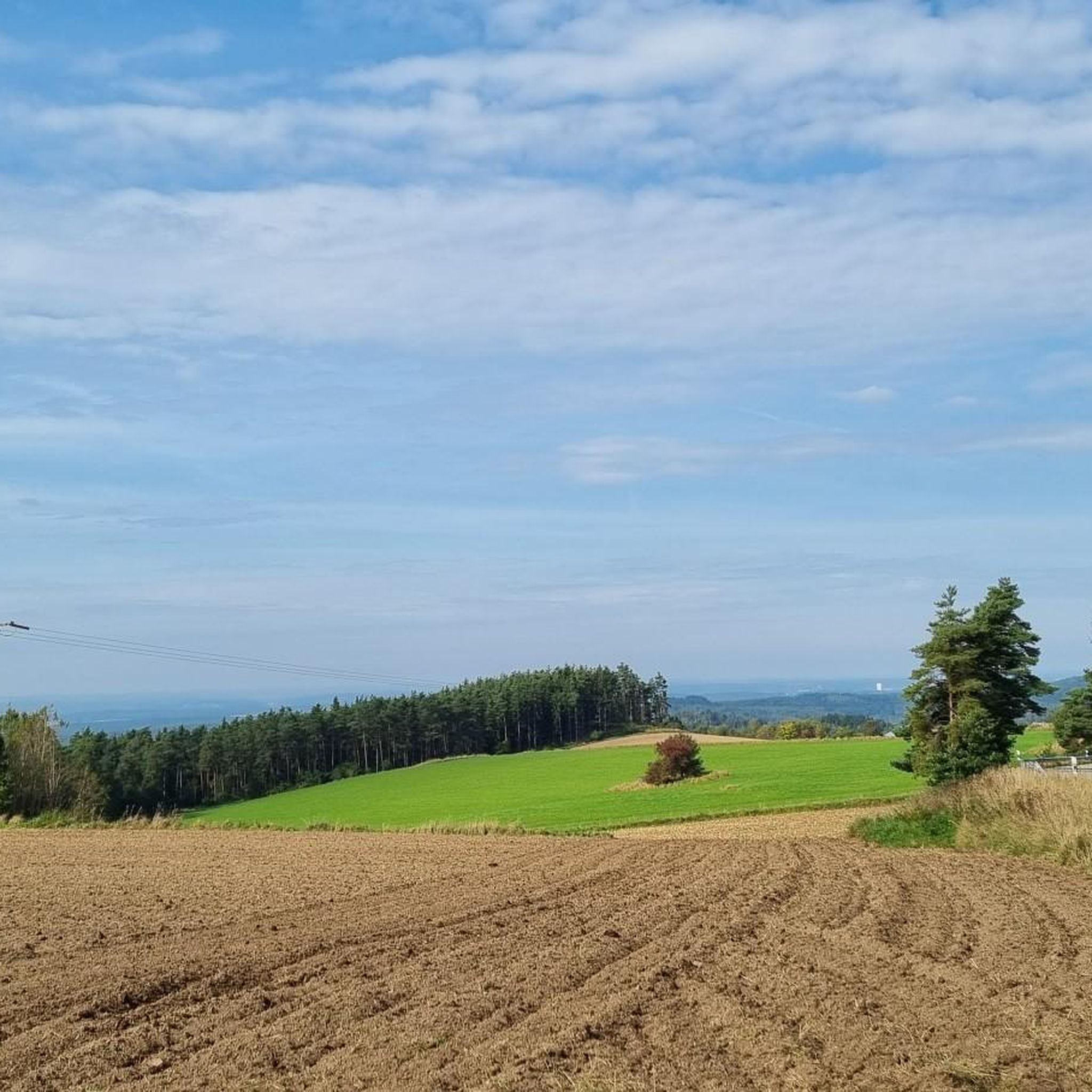
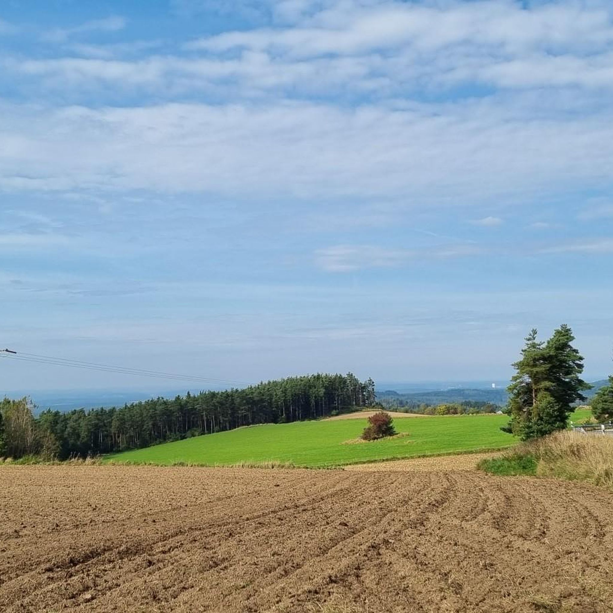
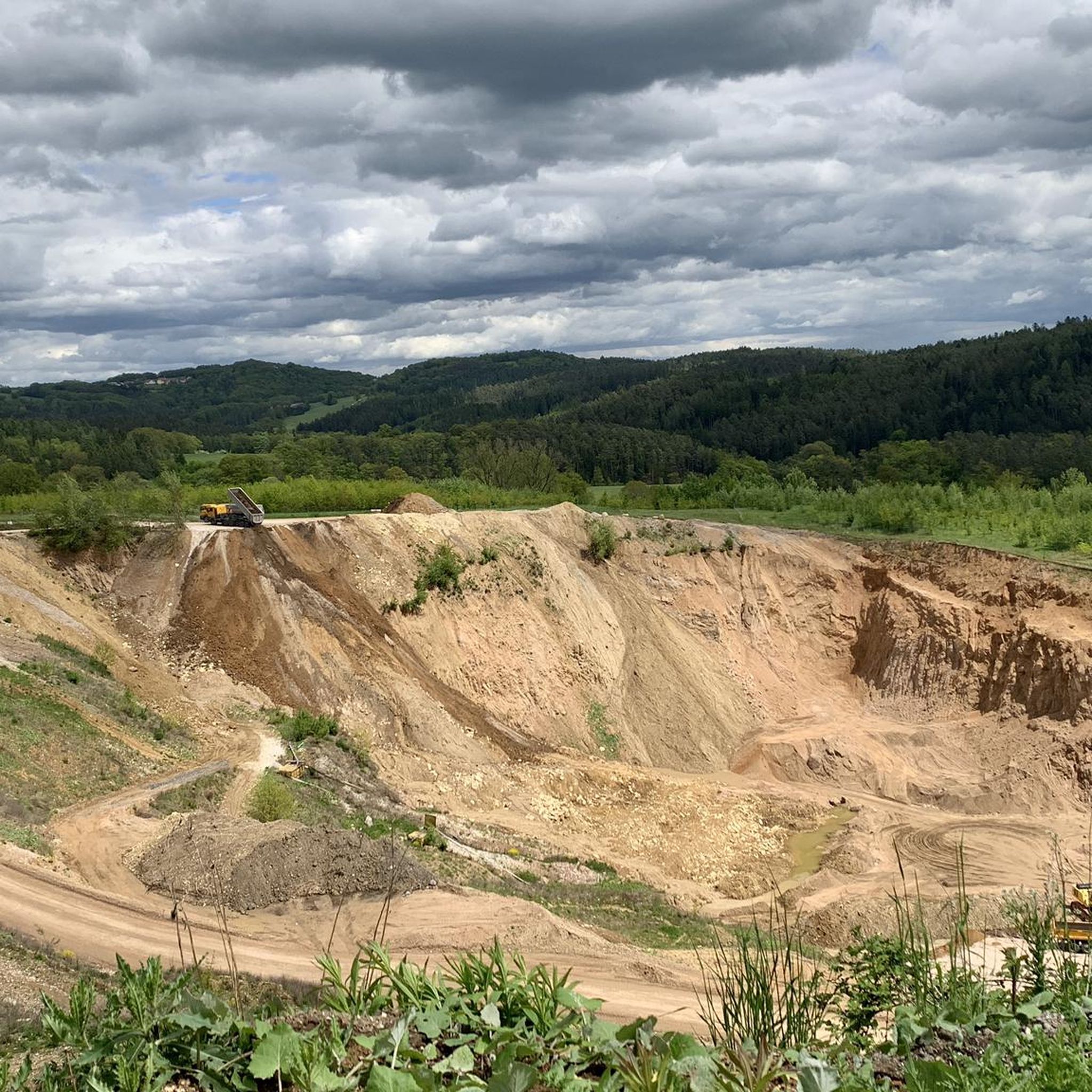
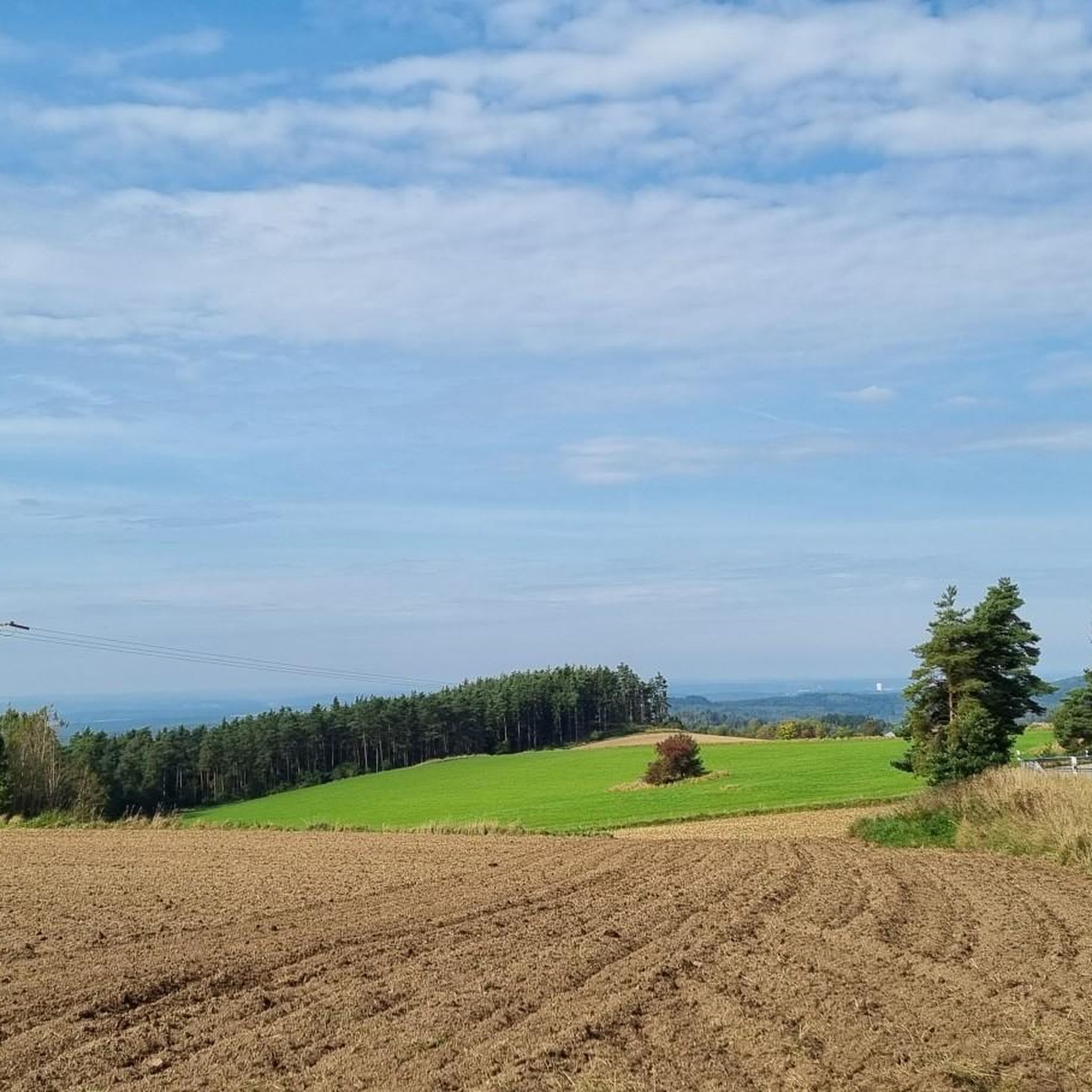
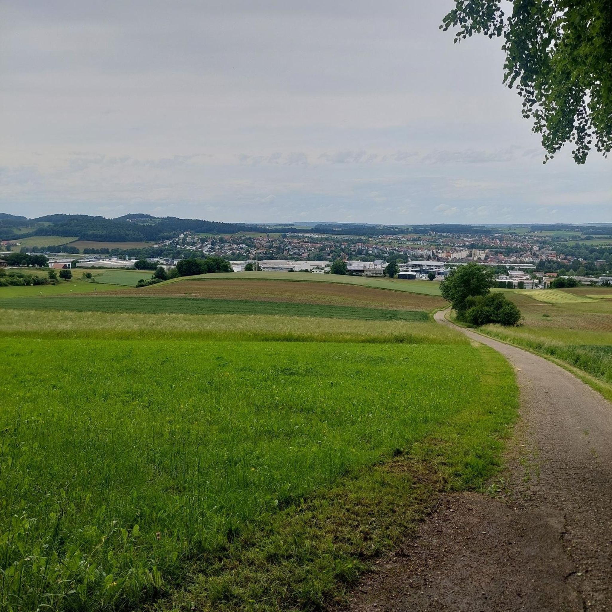

Tips from the Community

The Otterbach The Otterbach originates in the church village of Süssenbach, in the municipality of Wald in the Chams district, at approximately 477 m above sea level, through the confluence of the Weismühlbach and Steinbach streams. From there, it flows steadily southwestward, initially also called the Süssenbach, in loops that are particularly wide at the beginning. After passing through about a dozen smaller villages in Wald, it crosses the border into the Regensburg district and enters the municipality of Altenthann, passing through the village of Forstmühle there, and then flows northwest past the large, unincorporated forest area of the Forstmühle Forest. It passes successively the Altenthann hamlet of Bruckhäusl on the left bank, its church village of Heuweg on the right bank and on the heights above the valley, the village of Oberlichtenwald, which is located on the same bank as the stream, and the village of Unterlichtenwald on the right bank of the estuary in the wide floodplain. There, the most important tributary, the Sulzbach, flows along the other side of the village. Its upper reaches, together with its own course, even exceed the length of the Otterbach main branch up to this point, but contribute about a quarter less to the catchment area. From there, the St. 2145 state road uses the valley. The valley now narrows again between steep forest slopes, and the Otterbach enters the territory of Markt Donaustauf, where it successively passes the isolated villages of Neumühle and Klammer on its banks. The valley then widens into a large field bay, where it flows between the hamlets of Hammermühle and Dachsberg. Before Scheuchenberg, the stream, which ultimately flows almost southward, deviates to the right and southwest, crosses the church village of Sulzbach an der Donau, flows under the St. 2125 state road, which follows the stream, and flows into the Danube on the left after 17 kilometers. A popular hiking trail runs along the stream between Forstmühle and Hammermühle. Source: Excerpts from www.wikipedia.de
2
0

The cycle path is well-developed and signposted. Several rest stops are available. Before starting your bike tour, it's best to check the opening times and days.
5
0

A very beautiful railway line cycle path with a moderate gradient and almost entirely surrounded by beautiful nature. There are rest stops at regular intervals along the path, and several newly created playgrounds also invite you to linger. Coming from Regensburg, the surface is initially asphalt, later changing to gravel.
1
1

A perfect bike path for the start of the season 😀 especially if you're cycling from Falkenstein towards Regensburg. This works quite well if you take the bike bus to Falkenstein 🚐🚴🏻♀️ https://www.rvv.de/radtour-falkenstein-regensburg
0
1

There is also a bench here with a good view of the confluence.
3
0

The area where the Naab River flows into the Danube is perfect for relaxing strolls and picnics! Two great bike paths pass through here. It's simply beautiful! Nearby, in Mariaort, there's a large, good restaurant with a beer garden. There's also free parking. Best, Roland!
4
0

It's really worth stopping by at Koreawirt 👍
0
0

Just beautiful and tranquil. Far from any road.
1
1
Frequently Asked Questions
What unique natural features can I explore around Bernhardswald?
Beyond the well-known spots, Bernhardswald is characterized by its diverse landscape of forests, rolling hills, and waterways. You can discover numerous natural peculiarities along its extensive network of hiking and cycling trails. The region is part of the picturesque Bayerischer Vorwald, offering an unspoiled natural environment.
Are there any notable rock formations to visit?
Yes, the region features distinctive rock formations. One prominent example is the Hoher Stein, which is the highest elevation in the municipality and offers impressive granite structures and panoramic views. Another unique spot is the Wobbling Stone, a natural monument with large boulders that provides western views and a resting spot.
What are the best places for scenic views in the Bernhardswald area?
For panoramic views, the Hoher Stein is an excellent destination, offering expansive vistas of the surrounding Bavarian Forest foothills. Additionally, the Wobbling Stone provides nice views to the west from its rocks. The Confluence of the Regen and Danube rivers also offers a beautiful perspective, including views of the Regensburg Cathedral.
Are there family-friendly natural monuments or trails suitable for children?
Yes, several natural monuments and trails are suitable for families. The Otterbach Valley, with its scenic gorge, river, and granite rocks, is a relaxed section suitable for easy hiking or a walk. Cycle paths like the Rail trail in Naturpark Oberer Bayerischer Wald and the Regensburg–Falkenstein Railway Cycle Path (Bernhardswald Section) are also well-developed and offer gradual inclines, making them enjoyable for families.
What kind of cycling opportunities are available around Bernhardswald's natural monuments?
Bernhardswald is excellent for cycling, especially along former railway lines. The Rail trail in Naturpark Oberer Bayerischer Wald is a well-developed path with gradual inclines that passes through protected nature conservation areas. Another great option is the Regensburg–Falkenstein Railway Cycle Path (Bernhardswald Section), which is well-signposted and offers varied scenery and panoramic views. The 40-kilometer-long Falkenstein Cycle Path, largely unpaved, also provides an excellent way to appreciate the natural surroundings.
What outdoor activities can I do near these natural monuments?
The area around Bernhardswald offers a variety of outdoor activities. You can enjoy cycling on routes like the 'Radlbahnhof Hauzendorf – Schönberg Castle loop from Pettenreuth' or the 'Regensburg Old Town loop from Bernhardswald'. For gravel biking, consider routes such as 'Otterbach Stream – View of the Walhalla loop from Pettenreuth'. Mountain biking enthusiasts can explore trails like 'View of the Danube – Root Trail in Upper Palatinate loop from Bernhardswald'. Find more details on these activities in the Cycling around Bernhardswald, Gravel biking around Bernhardswald, and MTB Trails around Bernhardswald guides.
Are there any specific natural monuments related to rivers or water features?
Yes, the region is home to beautiful water features. The Confluence of the Regen and Danube rivers is a significant natural monument where the two rivers meet, offering a picturesque sight. The Otterbach Valley is another highlight, known for its Otterbach river and refreshing natural environment within a scenic gorge.
What do visitors enjoy most about the natural monuments around Bernhardswald?
Visitors particularly appreciate the scenic beauty and tranquility. For instance, the Otterbach Valley is praised as a 'scenic highlight' where one can refresh themselves among moss-covered stones. The cycle paths, like the Regensburg–Falkenstein Railway Cycle Path, are enjoyed for being 'well-developed and signposted' with 'many panoramic views'.
When is the best time to visit the natural monuments in Bernhardswald?
The natural monuments around Bernhardswald can be enjoyed throughout the year, depending on your preferred activities. Spring and autumn offer pleasant temperatures for hiking and cycling, with vibrant foliage or blooming nature. Summer is ideal for exploring the refreshing Otterbach Valley. In winter, if there's sufficient snow, areas like the Bauchlauf near Adlmannstein become popular for cross-country skiing, offering a different way to experience the snowy landscape.
Are there any historical or cultural sites near the natural monuments?
While the focus is on natural monuments, the region around Bernhardswald is close to Regensburg, a city rich in cultural offerings. The Confluence of the Regen and Danube rivers offers a nice view of the Regensburg Cathedral, connecting the natural beauty with historical architecture. The Falkenstein Cycle Path also passes through several communities, hinting at the broader historical context of the area.
Are dogs allowed on trails around the natural monuments?
Many trails in the Bernhardswald region, especially those through forests and along cycle paths, are generally dog-friendly. It's always recommended to keep dogs on a leash, especially in nature conservation areas or near wildlife, and to clean up after them. Specific rules might apply to certain protected areas, so checking local signage is advisable.
What is the difficulty level of hiking trails near Bernhardswald's natural monuments?
Hiking trails around Bernhardswald vary in difficulty. You can find easy walks, such as sections of the Otterbach Valley, which is described as a 'relaxed section suitable for easy hiking'. Other trails, like those leading to the Hoher Stein, offer a rewarding climb for hikers. The region's landscape includes rolling hills, so you can expect a mix of flat sections and moderate ascents.
How can I reach the natural monuments around Bernhardswald by public transport?
While specific public transport routes directly to every natural monument might be limited, Bernhardswald is situated in the district of Regensburg. Public transport options, including buses, connect Bernhardswald with Regensburg. From central points in Bernhardswald, you may need to walk or cycle to reach specific natural monuments. For detailed planning, it's best to consult local public transport schedules.
Most popular routes around Bernhardswald
Most popular attractions around Bernhardswald

Get inspired with the komoot mobile app


Explore more
Extend your search for the best caves by checking out these guides of the top ones around Bernhardswald:
