Eschenbach in der Oberpfalz
Eschenbach in der Oberpfalz
Top 20 Natural Monuments around Eschenbach in der Oberpfalz
Best natural monuments around Eschenbach in der Oberpfalz include significant geological formations and extensive nature reserves. The region features the Rauhe Kulm, a basalt mountain recognized for its ecological importance and unique geological features. Additionally, the area encompasses the Rußweihergebiet, an extensive lake system known for its biodiversity. These natural features offer diverse environments for exploration.
Best natural monuments around Eschenbach in der Oberpfalz
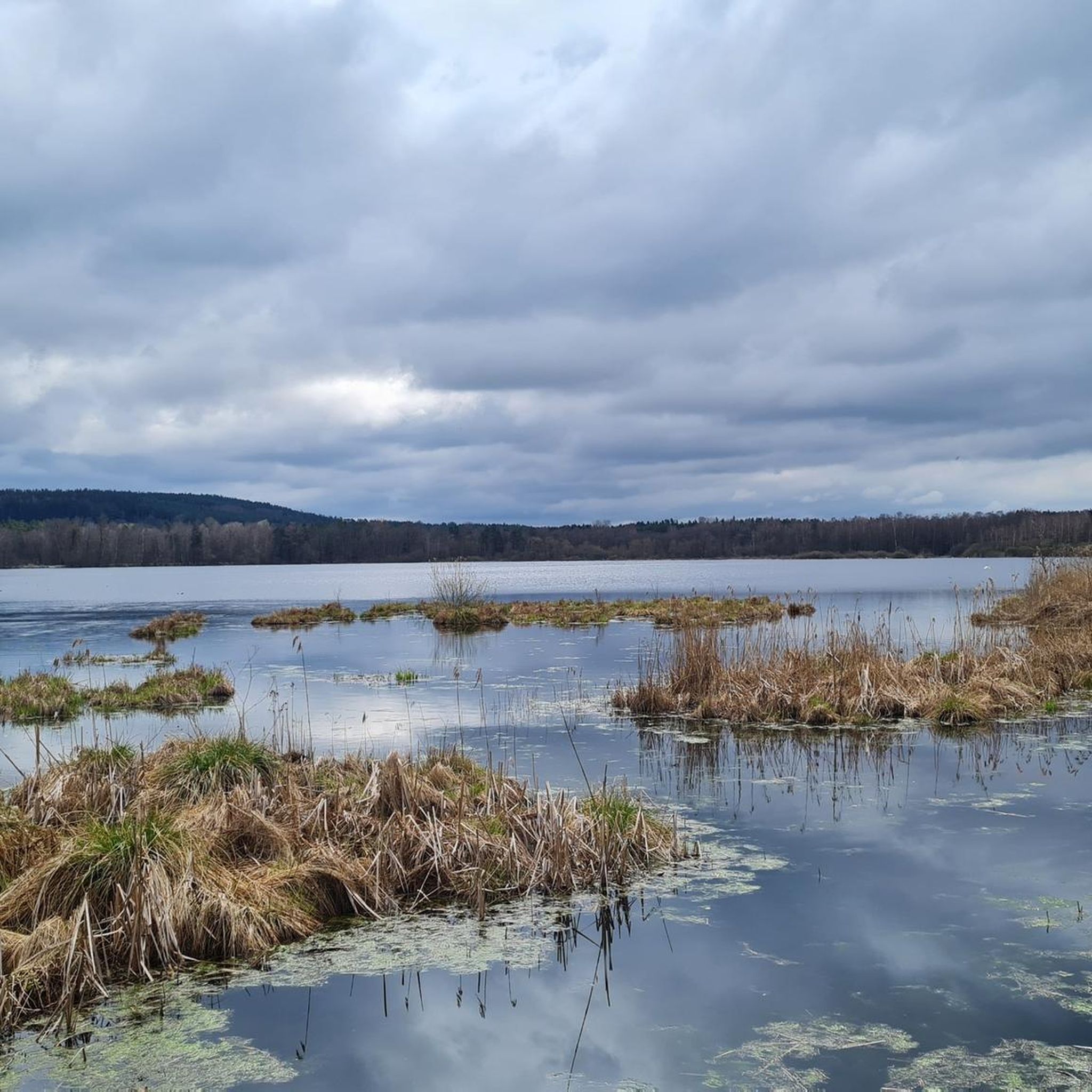
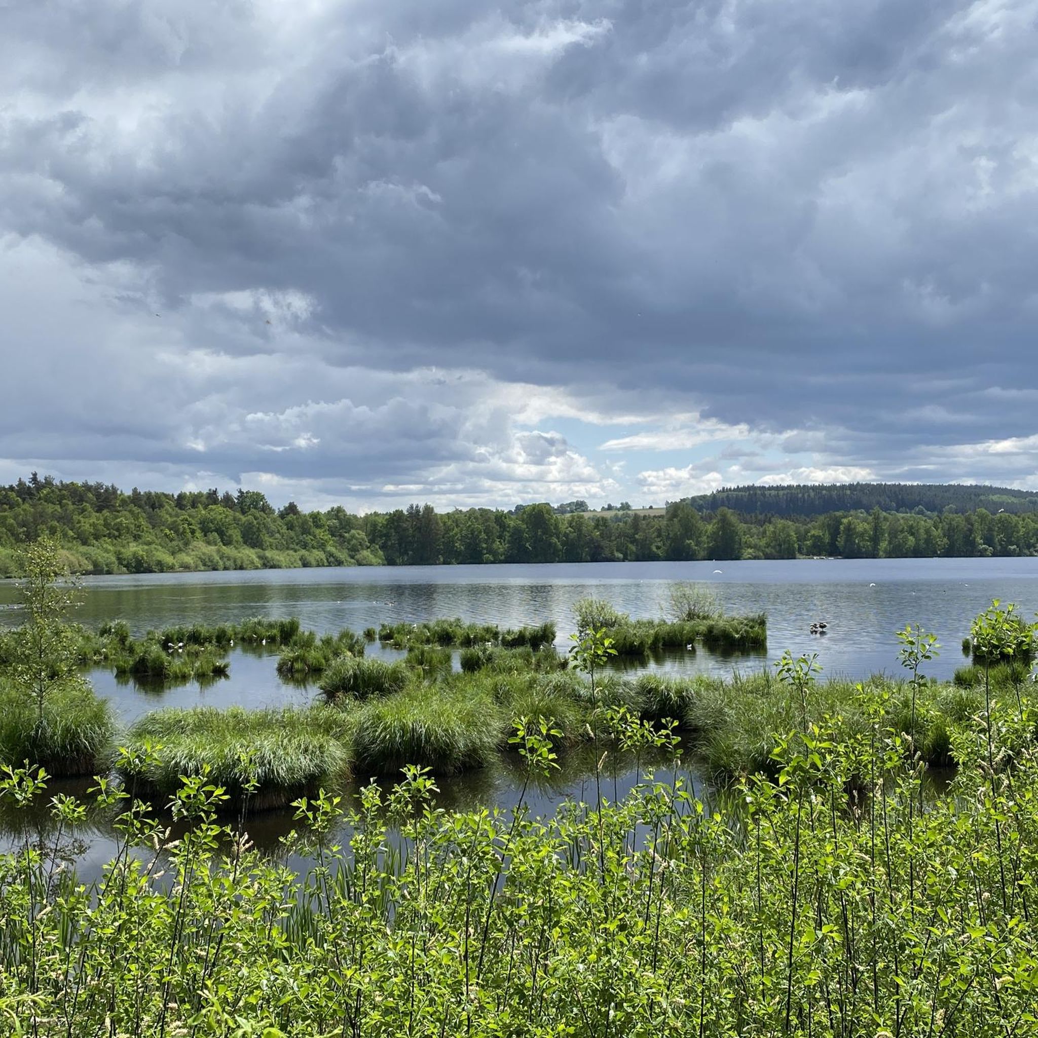
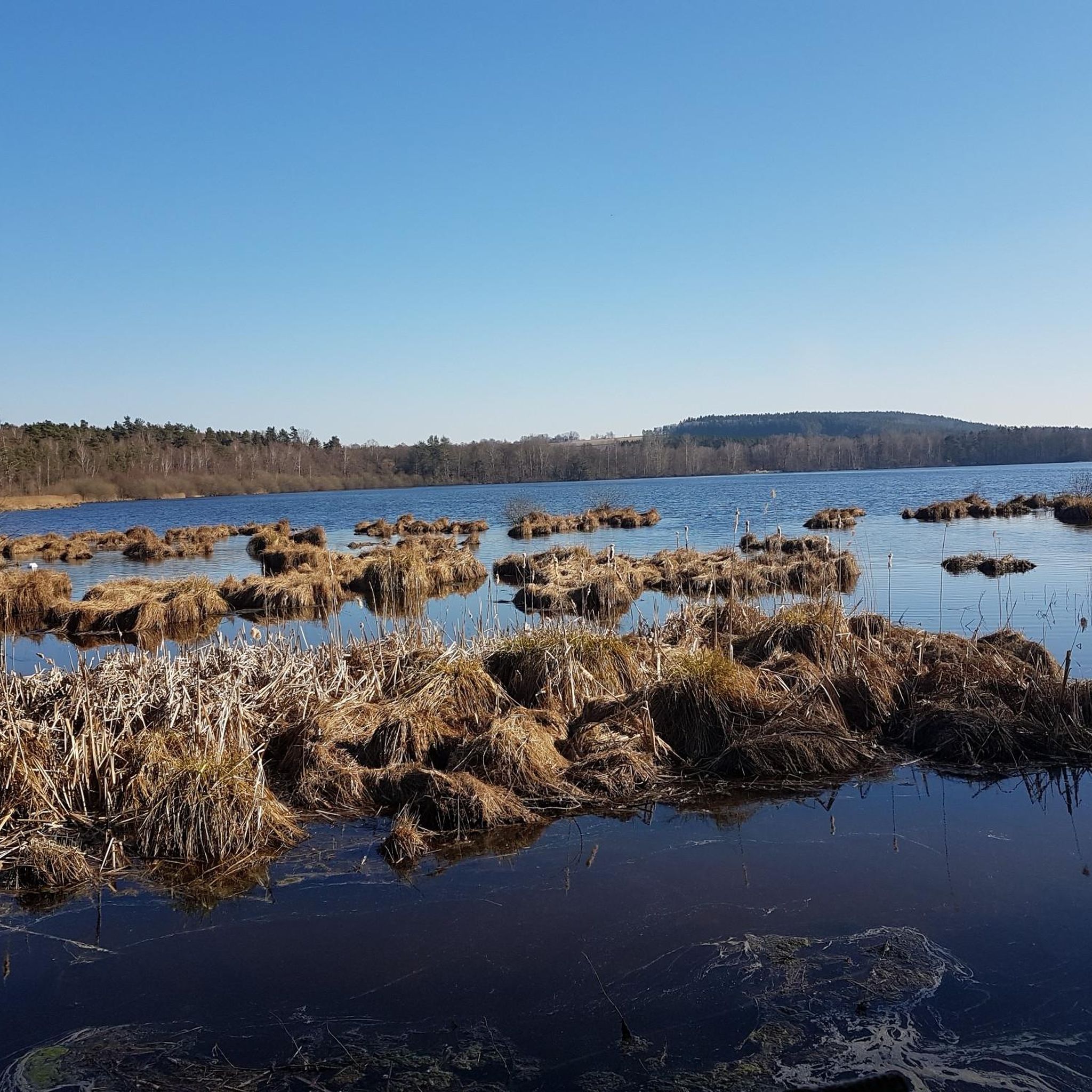
- The most popular natural monuments is Between Großer Rußweiher and Rußloheweiher, a lake and natural monument that is part of one of Bavaria's oldest nature reserves. This area is a bird sanctuary where rare birds can be observed.
- Another must-see spot is Circular rampart at Rauher Kulm, a historical site and natural monument. This basalt mountain features a network of hiking paths through mixed and beech forests, and its exposed basalt slopes provide habitat for numerous animals and plants.
- Visitors also love Osprey and White-tailed Eagle Observation Point, Großer Rußweiher, a viewpoint and natural monument. This location offers opportunities to observe osprey and white-tailed eagles, which have resettled here due to conservation efforts.
- Eschenbach in der Oberpfalz is known for its basalt formations, extensive lake areas, and diverse forest trails. The region offers a variety of natural monuments to see and explore, from geological wonders to significant bird sanctuaries.
- The natural monuments around Eschenbach in der Oberpfalz are appreciated by the komoot community, with over 290 upvotes and more than 290 photos shared.
Last updated: October 11, 2026
Rauher Kulm Lookout Tower
Highlight • Viewpoint
Nicolaus Apel built a wooden observation tower as early as 1807. There was a movable gold-plated sun above a hall, which is why the tower was also called the Sun Temple. Apple's tower existed until 1895 when the dilapidated structure was replaced by a new tower.
This second tower was replaced in 1937 by a third tower 6 meters higher. Due to the weather, this platform had to be replaced by a new one in 1962; henceforth a 25 meter high steel construction with larch wood cladding was enthroned over the town of Neustadt am Kulm.
On June 30, 1984, this fourth tower burned down within half an hour after being set on fire; the perpetrator has not yet been identified. In the following years, a fifth tower was built, which is still standing today.
Source: de.wikipedia.org/wiki/Rauher_Kulm_(Oberpfalz)
Translated by Google •
Tip by

Circular rampart at Rauher Kulm
Highlight • Historical Site
The exposed basalt slopes are a valuable habitat for numerous animals and rare plants. Around 90 different lichens and mosses grow and thrive on the heat-storing basalt boulders. The Rauhe Kulm has been protected as a natural monument since 1909 and has been a nature reserve in accordance with European standards (FFH) for several years. In 2013, the Rauhe Kulm was voted Germany's most beautiful natural wonder.
Translated by Google •
Tip by

Sign up now to discover places like this
Get recommendations on the best single tracks, peaks, & plenty of other exciting outdoor places.
Osprey and White-tailed Eagle Observation Point, Großer Rußweiher
Highlight • Viewpoint
Translated by Google •
Tip by

Between Großer Rußweiher and Rußloheweiher
Highlight • Lake
Translated by Google •
Tip by
Rauher Kulm Lookout Tower
Highlight • Monument
Translated by Google •
Tip by
Sign up for free to discover even more natural monuments around Eschenbach in der Oberpfalz.
Already have an account?
Start today with a free account
Your next adventure awaits.
Popular around Eschenbach in der Oberpfalz
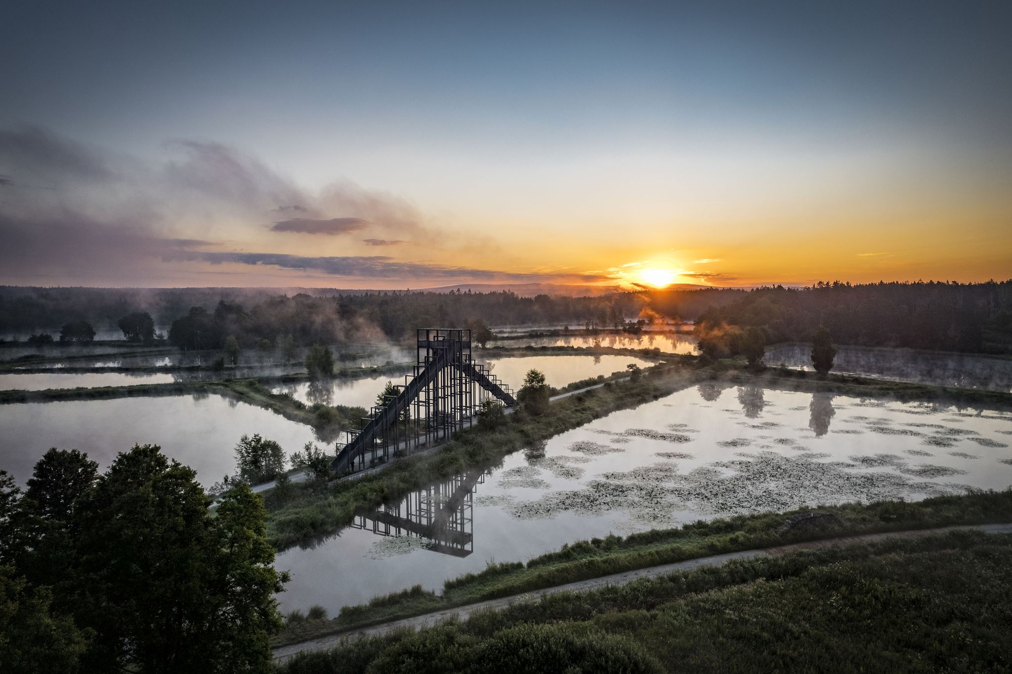
How refreshing! Trails by the water in the Upper Palatinate Forest
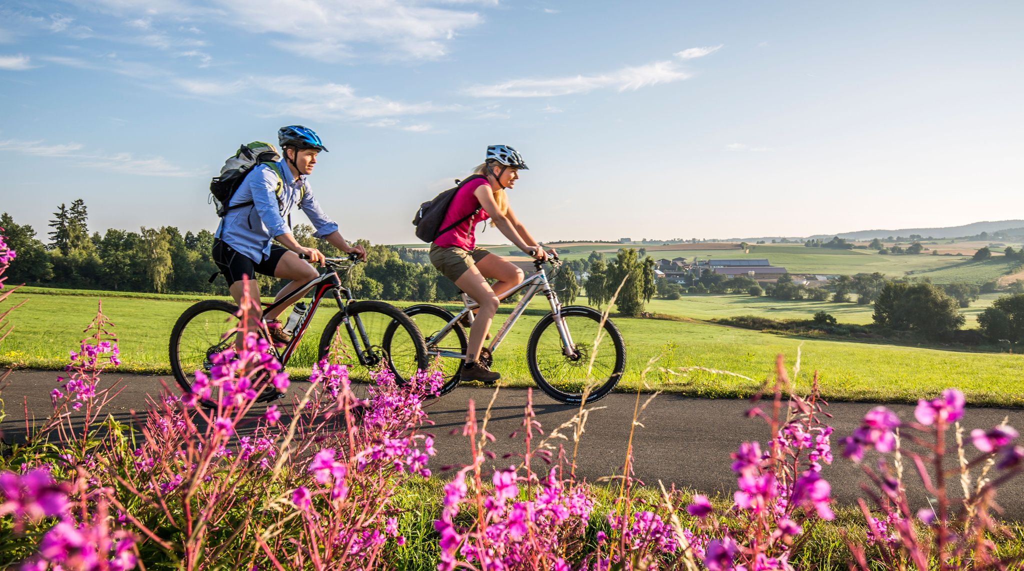
Nature and Culture — Cycling in the Upper Palatinate Forest
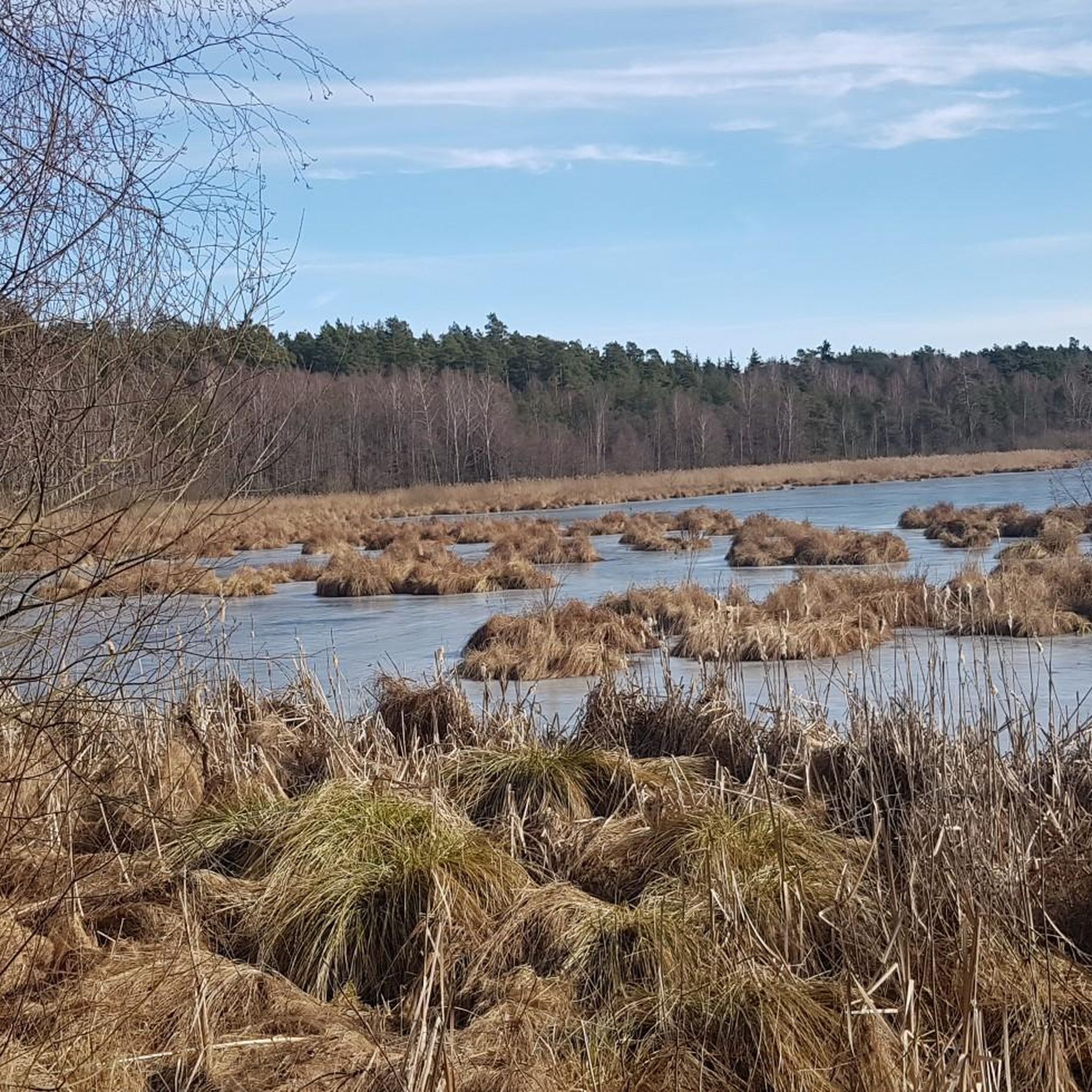
Hiking around Eschenbach in der Oberpfalz
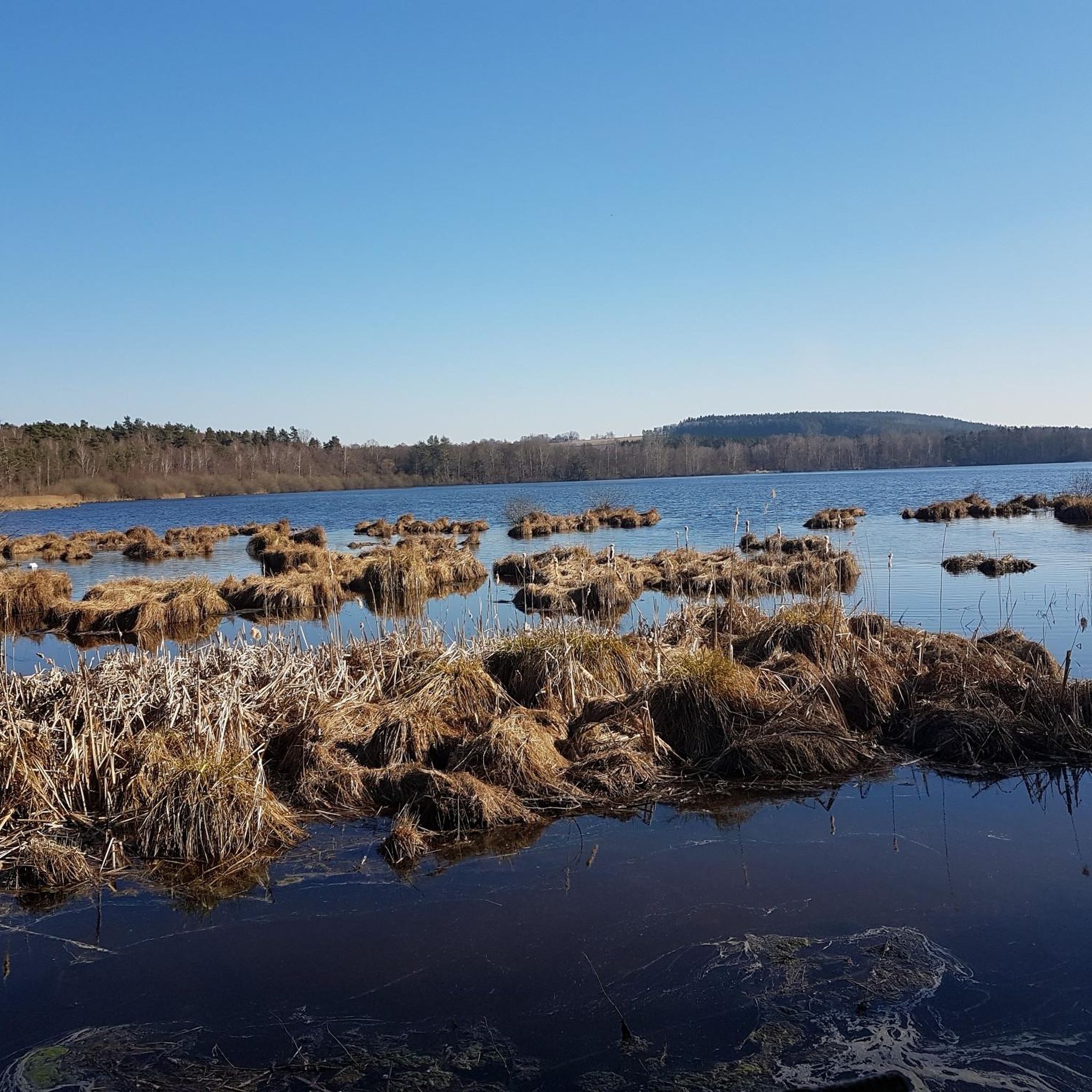
Cycling around Eschenbach in der Oberpfalz
Running Trails around Eschenbach in der Oberpfalz
MTB Trails around Eschenbach in der Oberpfalz
Road Cycling Routes around Eschenbach in der Oberpfalz

Gravel biking around Eschenbach in der Oberpfalz
Other adventures around Eschenbach in der Oberpfalz

Tips from the Community

Burgstall Rauhenkulm There are no reliable sources regarding the origin of the high medieval castle. Although the deed of foundation of the Benedictine monastery Michelfeld from 1119 states that Bucco de Culmen of Leuchtenberg had a residence on one of the two Kulms. He would thus be the first scientifically documented lord of the castle. However, it is unclear whether Rauhe Kulm or Kleine Kulm is meant. It is conceivable, but unlikely, that it was a building in the village of Kulmain. Excavations have brought shards, arrowheads, crosses, and coins from this period to light. According to Losert, the construction of the Rauher Kulm rampart was part of Emperor Otto I the Great's strategy to contain the impending danger from the Hungarians. Sandstone, timber framing, and bricks were used in the construction of the castle around 950. In addition to military use, the castle was also inhabited by women and children, as evidenced by various finds, including several spindle whorls, a weaving sword, and a large iron knife. Burgrave Friedrich III of Nuremberg acquired the castle, including the associated places, from the Landgraves of Leuchtenberg in 1281. The former tower was part of the margravial signaling system. During the Second Margravial War under Margrave Albrecht Alcibiades, the castle, as well as the Schlechtenkulm castle on Kleine Kulm, was destroyed in 1554. Before the destruction, both castles were besieged for about a year by troops from the imperial cities of Nuremberg, Bamberg, Würzburg, and Bavaria under the command of the electoral district administrator Hans Umseher von Waldeck, and the inhabitants were starved. The fortress commander von Heydenab surrendered the fortress on Rauhen Kulm on June 28, 1554. Afterwards, it was blown up with screws, the triple walls were razed and destroyed. Stones from the medieval ramparts of both castle sites were later used in part to reinforce the city walls of Neustadt. Today, only traces of the terrain are visible of the Burgstall Rauhenkulm. Remains of the surrounding rampart and the location of the tower in close proximity to the current observation tower are recognizable. The cartographer Johann Christoph Stierlein created the first very accurate topographical map of the mountain with the ruin. Source: www.wikipedia.de
5
0


Dam that separates the large and small Rußweiher - beautiful view of both ponds
2
0

The rampart on the Rauher Kulm is a fortification at the foot of the Rauher Kulm. Gate area of the rampart Area disturbed by quarrying The Rauher Kulm, as a basalt mountain in the otherwise flat surroundings, was already visited by people in prehistoric times. The rampart made of basalt blocks runs around the foot of the mountain. Finds point to the Bronze Age, the Celts, the time of the Carolingians and the Slavic settlement chambers. Fighting took place during the time of the Hungarian invasions. Even if the rampart has been disturbed by later interventions, including the creation of an English garden across the entire mountain or the mining of the basalt in quarries, the course can be recognized from the basalt boulders. There is a lower main rampart with at least two gate areas and another fortified area at medium height. The hilltop castle is, however, classified as largely late medieval. Several burial mounds are also known. It is assumed that the settlement was located within the protective wall, so that it was not just a refuge. The predominantly stone remains were reinforced by wooden structures, among other things. There is evidence of post-and-slot walls, kennel-shaped walls and additionally secured gate areas. The cartographer Johann Christoph Stierlein made a drawing of the Rauher Kulm and recorded both the rampart and the hilltop castle.[1] The rampart was researched at the beginning of the 20th century by Adalbert Neischl on behalf of the Nuremberg Natural History Society and Hugo Obermaier, who completed Neischl's work. Hans Losert has been carrying out excavations for over ten years and is responsible for the scientific analysis.
1
0

The ring wall itself dates back to the time of the Celts and probably served as a refuge or place of worship. The remains of the ramparts are still clearly visible and make for an exciting exploration tour. The climb to the summit is a bit strenuous, but the view and the historic atmosphere definitely make the effort worthwhile.
4
0

Around the cone, hikers will find a well-developed network of paths through varied mixed forest and old beech forest stands. The newly marked paths mostly lead along well-paved forest paths, but also along natural hiking trails. The exposed basalt slopes are a valuable habitat for numerous animals and rare plants. Around 90 different lichens and mosses grow and thrive on the heat-storing basalt boulders. The Rauhe Kulm has been protected as a natural monument since 1909 and has been a nature reserve in accordance with European standards (FFH) for several years. In 2013, the Rauhe Kulm was voted Germany's most beautiful natural wonder.
8
1
Around the cone, hikers will find a well-developed network of paths through varied mixed forest and old beech forest stands. The newly marked paths mostly lead along well-paved forest paths, but also along natural hiking trails. The exposed basalt slopes are a valuable habitat for numerous animals and rare plants. Around 90 different lichens and mosses grow and thrive on the heat-storing basalt boulders. The Rauhe Kulm has been protected as a natural monument since 1909 and has been a nature reserve in accordance with European standards (FFH) for several years. In 2013, the Rauhe Kulm was voted Germany's most beautiful natural wonder.
6
2
The Rauhe Kulm rises 682 metres high from the middle of the landscape and is visible from all directions. It is surrounded by the Fichtel Mountains to the north, the Steinwald to the east, the heights of the Franconian Jura to the south and the Franconian Switzerland to the west. It owes its distinctive shape to its volcanic origins around 20 million years ago. The exposed basalt slopes are a valuable habitat for numerous animals and rare plants. Around 90 different lichens and mosses grow and thrive on the heat-storing basalt boulders. The Rauhe Kulm has been protected as a natural monument since 1909 and has been a nature reserve in accordance with European standards (FFH) for several years. In 2013, the Rauhe Kulm was voted Germany's most beautiful natural wonder. The climb over the basalt block slope leads to the observation tower on the Rauhe Kulm. From the platform of the tower there is a unique panoramic view of the landscape around the Rauhe Kulm to the mountain ranges on the horizon.
5
0
Frequently Asked Questions
What are some unique natural features to explore around Eschenbach in der Oberpfalz?
The region offers diverse natural features. You can explore the striking basalt formations of the Rauhe Kulm, which was once voted Germany's most beautiful natural wonder. Additionally, the extensive Rußweihergebiet features a large lake system and is one of Bavaria's oldest nature reserves, known for its rich biodiversity.
Are there any historical sites among the natural monuments?
Yes, the Circular rampart at Rauher Kulm is a significant historical site. This basalt mountain features the remains of a Celtic ring wall, which likely served as a refuge or place of worship. You can also visit the Barbaraberg Pilgrimage Site and Ruins of St. Barbara Church, a former pilgrimage church with a rich history and impressive views.
What is the best time to visit the natural monuments in Eschenbach in der Oberpfalz?
The natural monuments are beautiful year-round. Spring and autumn offer pleasant temperatures for hiking and birdwatching, with vibrant foliage or blooming nature. Summer is ideal for enjoying the outdoor adventure trails and lake areas. Even in winter, the landscapes can be stunning, though some paths might be less accessible.
Are there family-friendly natural monuments in the region?
Absolutely. The Osprey and White-tailed Eagle Observation Point, Großer Rußweiher is family-friendly, offering opportunities to observe rare birds. The Walderlebnispfad Holzweg (Forest Adventure Trail) in Eschenbach is also excellent for families, featuring interactive stations, a walk-in birdhouse, and a playground, with options for stroller and wheelchair accessibility.
Can I go birdwatching at the natural monuments?
Yes, the Rußweihergebiet is a prime location for birdwatching. It's an important bird sanctuary where you can observe rare species, including fish and sea eagles, which have resettled here due to conservation efforts. The Osprey and White-tailed Eagle Observation Point specifically provides information boards and good viewing spots.
Are there accessible paths for strollers or wheelchairs?
The Walderlebnispfad Holzweg (Forest Adventure Trail) in Eschenbach is designed to be accessible for strollers and wheelchairs, offering a 2 km shorter option that is suitable for all visitors. This trail provides an interactive and educational nature experience for everyone.
Are dogs allowed on trails near the natural monuments?
Many natural trails in the region are dog-friendly, but it's always recommended to keep dogs on a leash, especially in nature reserves like the Rußweihergebiet, to protect wildlife. The hiking paths around the Rauhe Kulm are generally suitable for walks with dogs.
What kind of hiking trails can I find near the natural monuments?
You'll find a variety of hiking trails. The Rauhe Kulm offers a well-developed network of paths through mixed and beech forests, ranging from well-paved forest roads to natural hiking trails. The Rußweihergebiet also features easy walking trails around the lakes. For more hiking options, explore the Hiking around Eschenbach in der Oberpfalz guide.
How can I reach the natural monuments by public transport?
While specific public transport routes to each monument can vary, Eschenbach in der Oberpfalz is generally accessible by regional bus services. It's advisable to check local bus schedules and routes to the nearest towns or stops for destinations like the Rauhe Kulm or the Rußweihergebiet before your visit.
Where can I park when visiting the natural monuments?
Designated parking areas are available near the main natural monuments. For instance, there are official parking spots close to the starting points of trails for the Rauhe Kulm and near the access points for the Rußweihergebiet. Look for signs indicating visitor parking upon arrival.
What outdoor activities are available near the natural monuments in Eschenbach in der Oberpfalz?
Beyond hiking, the area offers excellent opportunities for cycling. You can find various routes for MTB Trails around Eschenbach in der Oberpfalz and Gravel biking around Eschenbach in der Oberpfalz, allowing you to explore the diverse landscapes on two wheels.
What do visitors enjoy most about the natural monuments in Eschenbach in der Oberpfalz?
Visitors particularly appreciate the diverse natural beauty and tranquility. The opportunity to observe rare birds at the Rußweihergebiet, the impressive geological formations and panoramic views from the Rauhe Kulm, and the engaging, family-friendly experiences like the Walderlebnispfad Holzweg are frequently highlighted as favorites.
Most popular routes around Eschenbach in der Oberpfalz
Most popular attractions around Eschenbach in der Oberpfalz

Get inspired with the komoot mobile app


Explore more
Extend your search for the best caves by checking out these guides of the top ones around Eschenbach in der Oberpfalz:
