Top 20 Natural Monuments around Oberstadtfeld
Natural monuments around Oberstadtfeld are shaped by the region's volcanic past and ancient geological history. This area in the Vulkaneifel district features a diverse landscape of maars, volcanic cones, and ancient marine deposits. These sites provide insights into Earth's processes and offer opportunities for exploration. The region's natural features include forests, lakes, and various rock formations.
Best natural monuments around Oberstadtfeld
- The most popular natural monuments is Buchenloch Cave, a cave that is approximately 30 meters long and freely…
Last updated: July 8, 2026
Dronke Tower on the Mäuseberg
Highlight • Viewpoint
Translated by Google •
Tip by

View of the Gemünden maar
Highlight • Lake
Showing Translation
Tip by

Sign up now to discover places like this
Get recommendations on the best single tracks, peaks, & plenty of other exciting outdoor places.
Sign up for free
Schalkenmehrener Maar
Highlight • Lake
Translated by Google •
Tip by

Buchenloch Cave
Highlight • Cave
Translated by Google •
Tip by

View of the Weinfelder Maar (Totenmaar)
Highlight • Lake
Translated by Google •
Tip by

Sign up for free to discover even more natural monuments around Oberstadtfeld.
Sign up for free
Already have an account?
Start today with a free account
Your next adventure awaits.
Login or Signup

Tips from the Community

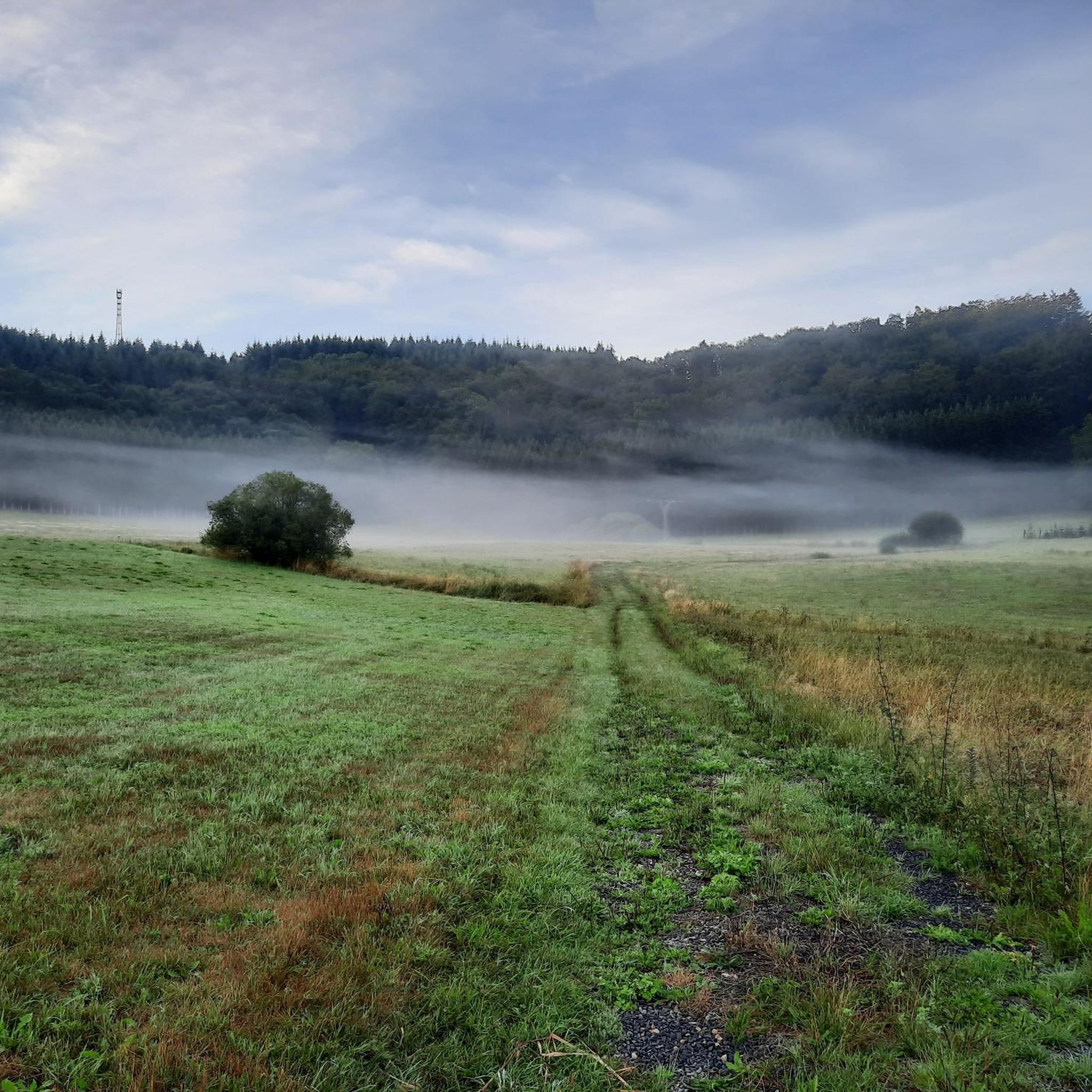
The Daun Maars - 10,000-Year-Old Volcanic Lakes The Daun Maars were formed around 10,000 years ago from volcanic steam explosions. Hot lava rises from the Earth's interior and meets water, which suddenly evaporates. This blasts away entire mountain peaks. What remains is a deep crater that fills with water over the years and a wall of boulders surrounding the lake. The Daun Maars include the Gemünden Maar, the Weinfelder Maar, and the Schalkenmehrener Doppelmaar. One crater of the Schalkenmehren Maar has silted up over the millennia. The area is a nature reserve and a refuge for waterfowl and rare dragonfly species. Text / Source: deutschland-outdoor.der https://deutschland-outdoor.de/eifel/dauner-maare
13
0
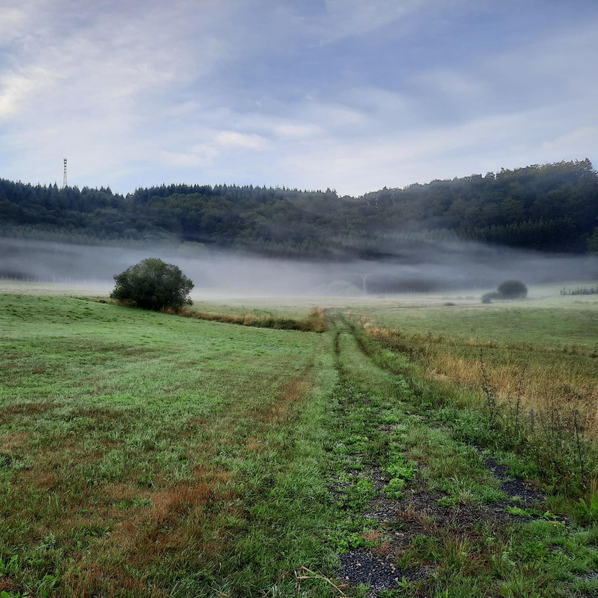
Weinfelder Maar The Weinfelder Maar, formed by volcanic activity around 20,000 to 30,000 years ago, is the highest of the three Daun Maars at 487 meters above sea level. The lake is 51 meters deep and has a diameter of 396 to 429 meters. An almost melancholic atmosphere surrounds the maar. Many legends surround the tranquil Eifel eye. A castle is said to have once stood on the site of the crater, where a count lived with his wife and only child. After returning home from a hunt, the castle had sunk as punishment for the woman's nastiness, and he found only a lake where a cradle miraculously floated his child safely to the shore. If you look at the dark surface of the water long enough, it is said that you can make out the outline of the castle. The German landscape painter Fritz von Wille was so fascinated by the Weinfelder Maar that he repeatedly immortalized it in his paintings. Among his favorite motifs was the small chapel on the north bank, dedicated to Saint Martin. It was once the parish church of the village of Weinfeld, which was ravaged by the plague in the 16th century. Anyone who rings the bells inside by pulling the ropes can make a wish. To this day, the associated cemetery is maintained and used by the local community of Schalkenmehren. This is also where its second name, Totenmaar, comes from. Donkeys and goats have been introduced to the Weinfelder Maar to regulate vegetation. The maar's unique flora and fauna are protected. Swimming and other water sports are prohibited in the Weinfelder Maar, but a nearly two-kilometer-long path makes it a wonderful place to explore on foot. Parking: Guests can park along the L64 either in the parking lot at the Weinfelder Maar or on the Maarsattel between the Weinfelder Maar and the Schalkenmehrener Maar. Text / Source: GesundLand Vulkaneifel GmbH, Leopoldstr. 9 A, 54550 Daun https://www.eifel.info/a-weinfelder-maar
13
0

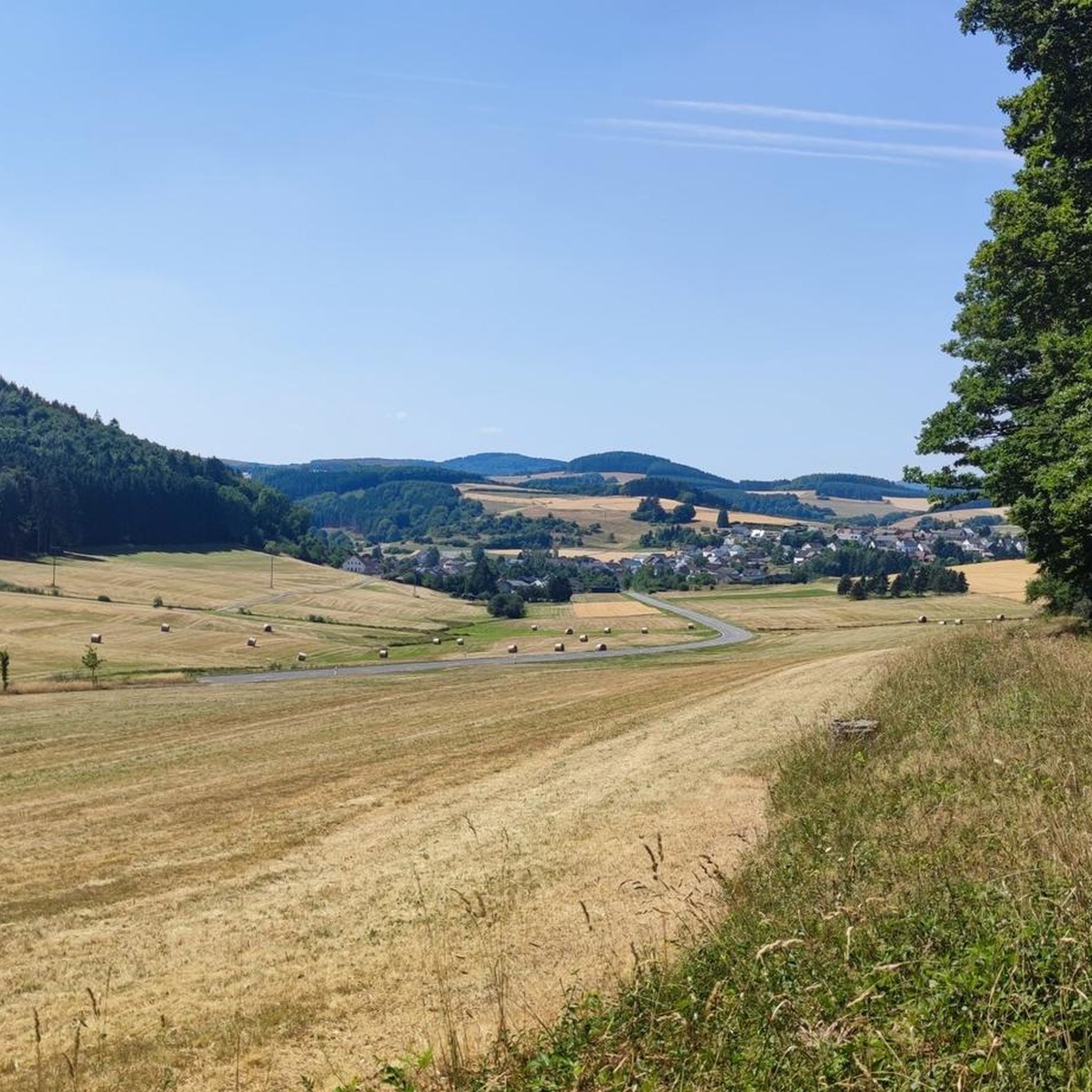
Nice view with markers for orientation. The tower, which was built in 1902, is only 11m high, but stands on top of the 560m high Mauseberg and is thus 166m above the Gemünder Maar, guaranteeing a magnificent view of the surrounding area.
14
0
Beautiful view with an information board for orientation. The tower, built in 1902, is only eleven meters high, but stands at the top of the 560-meter-high Mäuseberg and is thus 166 meters above the Gemünder Maar. This guarantees a magnificent view over the surrounding area.
19
1
A section of the Eifelsteig long-distance hiking trail runs right through the Dauner Maare. Very nice path past the witnesses of the volcanic past of the Eifel. https://www.eifelsteig.de/
12
0
The hiking car park and the hiking map with an overview of the various routes are located at the Waldcafe. This is a great place to start your tour and enjoy a coffee at the end.
11
0
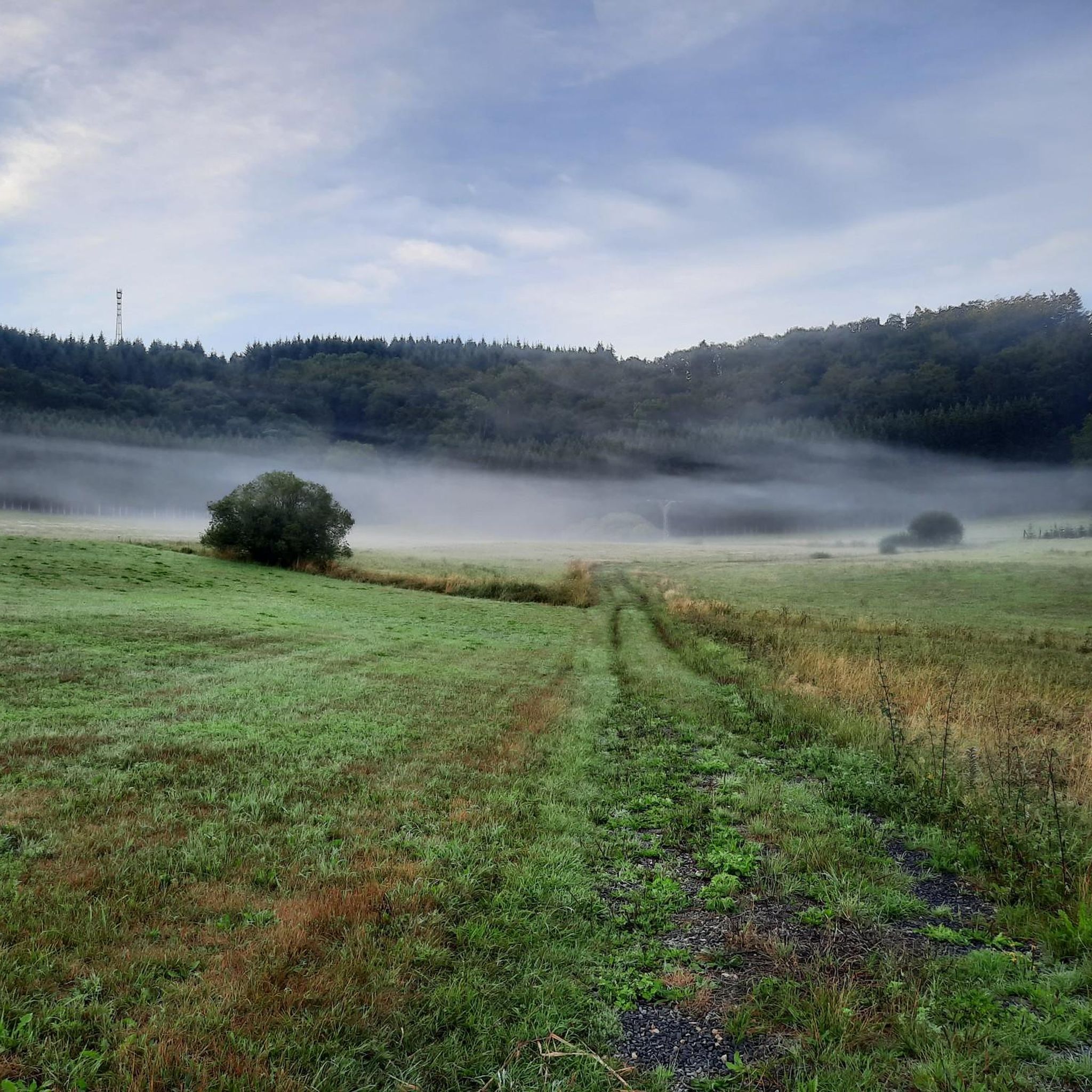
Very beautiful Maar, more than 100m deep embedded in the "crater", the smallest of the three Dauner Maare offers a beautiful outdoor pool and the opportunity to explore the volcanic lake by boat. The forest café and the starting point for numerous hikes and tours are also located at the car park.
15
1

There is a car park on the road above the Maare. After crossing the road, a path leads down to the Maar, from where you can hike in various directions.
7
0
Frequently Asked Questions
What are the most popular natural monuments to visit around Oberstadtfeld?
Visitors frequently enjoy the Buchenloch Cave, a freely accessible cave known for Ice Age archaeological findings. Another favorite is the Dronke Tower on the Mäuseberg, offering panoramic views. The Schalkenmehrener Maar, a unique 'double maar' with a scenic circular path, is also highly rated.
What unique geological features can I explore in the Oberstadtfeld area?
The region is rich in geological wonders due to its volcanic past. You can explore the Maars of the Daun region, which are volcanic lakes like the Gemündener Maar and Weinfelder Maar (Totenmaar). Additionally, sites like Kahlenberg, a former quarry, showcase various volcanic rock formations, and the underlying Devonian marine deposits offer ancient fossils.
Are there family-friendly natural monuments suitable for children?
Yes, several natural monuments are great for families. The Gemündener Maar offers an outdoor pool and opportunities for boat exploration, with a forest café nearby. The Schalkenmehrener Maar has a beautiful circular path that is easy to navigate for all ages. The Weinfelder Maar also features a nearly two-kilometer-long path perfect for walks.
What kind of views can I expect from the natural monuments?
The region offers spectacular panoramic views. From the Dronke Tower on the Mäuseberg, you can enjoy magnificent vistas over the Maars and the surrounding Eifel landscape. The Nerother Kopf, with its 618-meter summit, provides wide panoramic views into the Kyll valley.
Are there historical or cultural sites integrated with the natural monuments?
Yes, the region beautifully blends natural beauty with history. The Buchenloch Cave is a significant archaeological site where Ice Age tools and animal bones were discovered. The Nerother Kopf features the ruins of Freudenkoppe, a medieval castle, adding a historical dimension to the volcanic cone.
What outdoor activities can I do near these natural monuments?
The area around Oberstadtfeld is excellent for various outdoor activities. You can find numerous running trails, such as the 'Running loop from Neroth' or the 'Kleine Kyll Wooden Bridge loop'. For mountain hikers, routes like 'View of the Gemündener Maar – Weinfelder Church loop' are available. Mountain biking enthusiasts can tackle challenging routes like 'View of the Weinfelder Maar – Dronke Tower on the Mäuseberg loop'. You can find more details on these activities in the Running Trails around Oberstadtfeld, Mountain Hikes around Oberstadtfeld, and MTB Trails around Oberstadtfeld guides.
Are there specific hiking trails that pass by multiple natural monuments?
Yes, the Eifelsteig long-distance hiking trail passes through the Dauner Maare, offering a path past many volcanic features. Additionally, circular paths around individual maars, like the one at Schalkenmehrener Maar, allow for focused exploration of these natural wonders.
What is the best time of year to visit the natural monuments around Oberstadtfeld?
The natural monuments are beautiful year-round. Spring and autumn offer pleasant temperatures for hiking and vibrant natural colors. Summer is ideal for water activities at the maars, while winter can provide a serene, snow-covered landscape, though some paths might be more challenging. The Buchenloch Cave is closed from October 1st to March 31st to protect hibernating bats.
Are dogs allowed on trails and at the natural monuments?
Many trails and natural areas in the Vulkaneifel region are dog-friendly, but it's always advisable to keep dogs on a leash, especially in nature reserves or near wildlife. Specific rules may apply to certain sites or indoor attractions, so checking local signage is recommended.
Is parking available near the natural monuments?
Yes, parking is generally available near the more popular natural monuments. For instance, the Gemündener Maar has a car park that serves as a starting point for hikes. For the Weinfelder Maar, parking is available along the L64 or on the Maarsattel between the Weinfelder and Schalkenmehrener Maars.
What do visitors appreciate most about the natural monuments in this region?
Visitors consistently praise the stunning natural beauty, the clear waters of the maars, and the well-maintained paths for hiking and exploration. The unique geological origins provide a captivating window into Earth's processes, and the panoramic views from elevated points like the Dronke Tower are frequently highlighted as unforgettable experiences.
Are there any cafes or refreshment stops near the natural monuments?
Yes, you can find refreshment options near some of the natural monuments. The village of Schalkmehren, located south of the Schalkenmehrener Maar, offers places to stop for refreshments. Additionally, a forest café is situated near the Gemündener Maar.
Most popular routes around Oberstadtfeld
Most popular attractions around Oberstadtfeld

Get inspired with the komoot mobile app


Explore more
Extend your search for the best caves by checking out these guides of the top ones around Oberstadtfeld:
