Top 20 Natural Monuments around Reurieth
Best natural monuments around Reurieth include the prominent Großer Gleichberg, a significant geological feature reaching 679 meters above sea level. This region in Thuringia offers a landscape shaped by volcanic activity and historical significance. The area features protected natural spaces and historical sites integrated into the natural environment. Visitors can explore a variety of natural and man-made monuments within this diverse landscape.
Best natural monuments around Reurieth
- The most popular natural monuments is Summit of Großer Gleichberg, a summit that is the highest point of the Heldburger Gangschar formation. With an isolation of over 20 kilometers and a prominence of nearly 300 meters, it is considered one of Thuringia's most prominent mountains.
- Another must-see spot is Iron Hand, a man-made monument and natural monument. This multi-armed signpost on a concrete base is a known landmark near Altendambacher Höhe, marking a historic resting point for travelers.
- Visitors also love Delphin Spring (Wiesenbrünnle), a historic, restored spring located on the western slope of the Kleiner Gleichberg. This fountain with seating offers a shady rest area in the forest and is a source of the Wiesleinbach stream.
- Reurieth is known for its summits, springs, and historical sites that are often intertwined with natural monuments. The region offers a variety of natural monuments to see and explore, from volcanic peaks to forest springs and memorial sites.
- The natural monuments around Reurieth are appreciated by the komoot community. The 7 highlights in the area have received more than 320 upvotes and feature over 220 photos from visitors.
Last updated: July 8, 2026
Summit of Großer Gleichberg
Highlight • Summit
Translated by Google •
Tip by

Iron Hand
Highlight • Monument
Near the Altendambacher Höhe, where the country road, forest and hiking trails meet, hikers or mountain bikers on their way towards Fischbach-Schleusingen pass a multi-armed signpost on which a hand cast from iron points to the sky on a narrow concrete base. Another signpost? A monument?
There is hardly a long-time resident in the surrounding villages who does not know the "Iron Hand" and the forest area up there that is called that and has certainly heard some stories about it; but no one can really explain what this mysterious place and its not exactly everyday feature is all about. - And so there are always inquiries about it.
Source:
fraenkischesthueringen.blogspot.com/2020/06/die-eiserne-hand-eine-ausspanne-von.html?m=1
Translated by Google •
Tip by
Sign up now to discover places like this
Get recommendations on the best single tracks, peaks, & plenty of other exciting outdoor places.
Sign up for free
Delphin Spring (Wiesenbrünnle)
Highlight • Natural Monument
Translated by Google •
Tip by
Rondell Shelter, Hildburghausen City Forest
Highlight • Mountain Hut
Translated by Google •
Tip by

Römhild Labor Education Camp Memorial
Highlight • Historical Site
The Große Gleichberg is 679 meters above sea level. NN the higher of the two singular equal mountains east of Römhilds in the Grabfeld landscape in the Hildburghausen district in Thuringia.
Basalt was mined in two quarries on the Großer Gleichberg, the Gleichamberger Steinbruch and the Römhilder Steinbruch.
There was a cable car with which the basalt was transported in Loren to the basalt works in Römhild at the station and to Gleichamberg.
The stones were used to build paved Chausseestrassen, then so-called artificial streets, and cobblestone streets, but also to build buildings.
Basalt from the quarries of the Großer Gleichberg can still be found on cobblestone streets all over Germany today.
During the time of National Socialism, from August 1943 to March 1945, there was a labor education camp in the Römhild quarry in which a maximum of about 400 "foreign nationals who were in breach of contract" were interned.
The prisoners had to work in the basalt quarry or in the basalt works at Römhild Bahnhof.
It must be assumed that at least 500 prisoners died in the camp or on the evacuation march in 1945.
During the Cold War, from 1968 to 1991, there was a restricted military area on the summit of the Großer Gleichberg with a radio and radar station of the Soviet armed forces, who left their autographs in the crushing plant.
In 1942, the Große Gleichberg was declared a nature reserve and is now a nature reserve.
(Source: fotowiesel.de)
Translated by Google •
Tip by

Sign up for free to discover even more natural monuments around Reurieth.
Sign up for free
Already have an account?
Start today with a free account
Your next adventure awaits.
Login or Signup
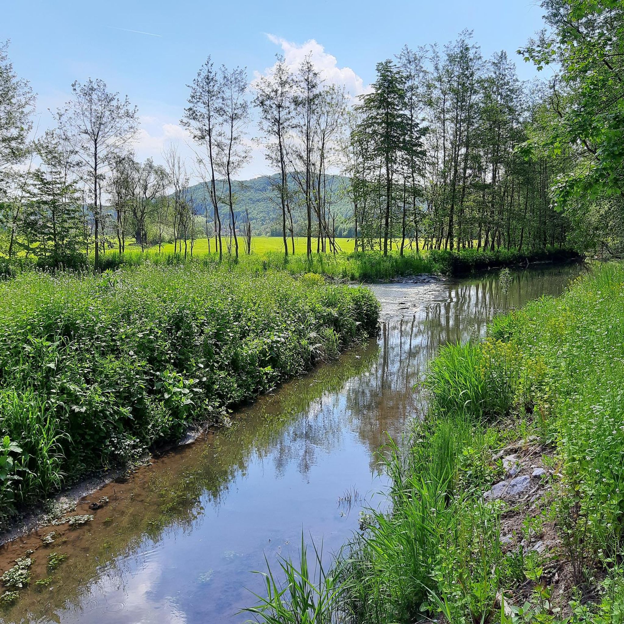
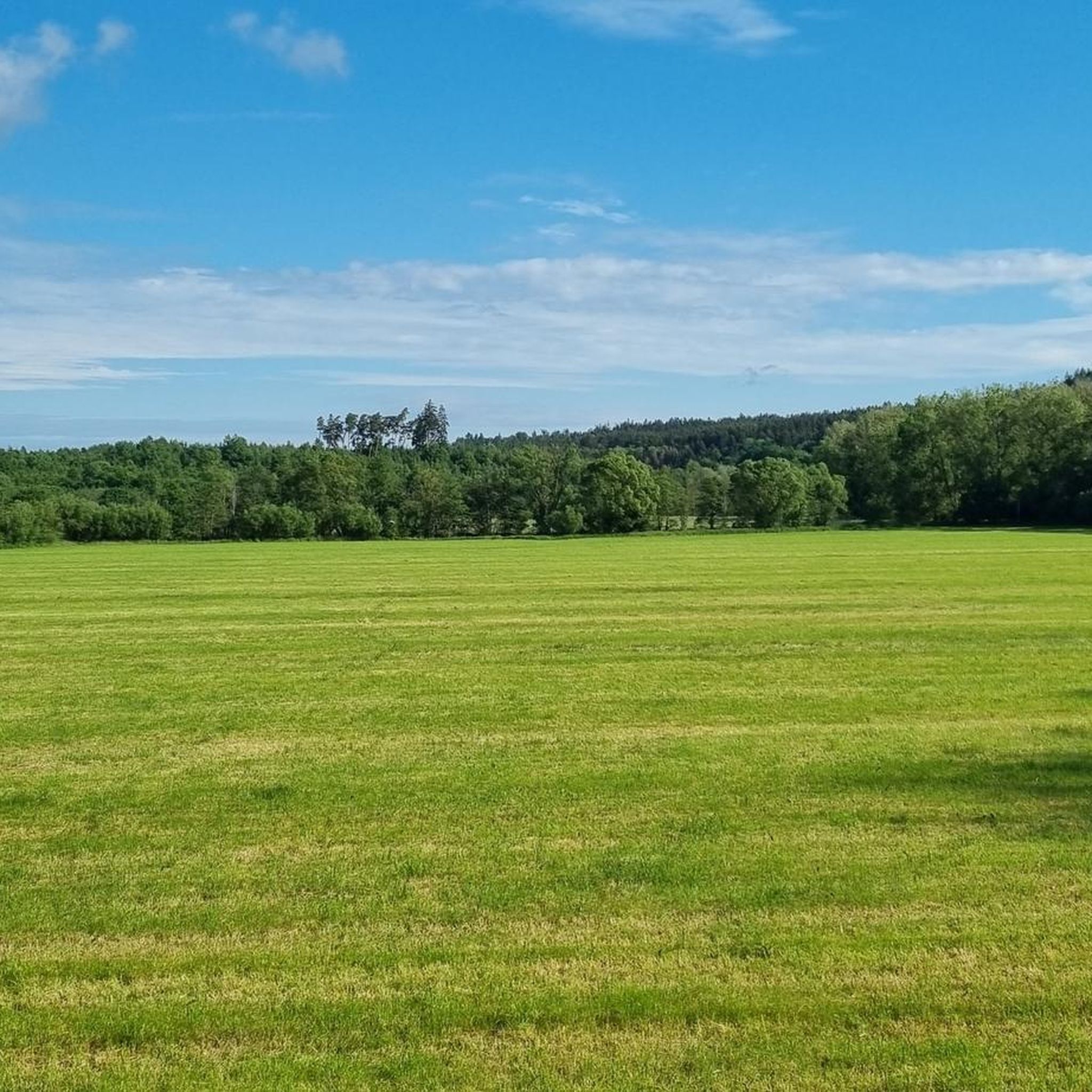
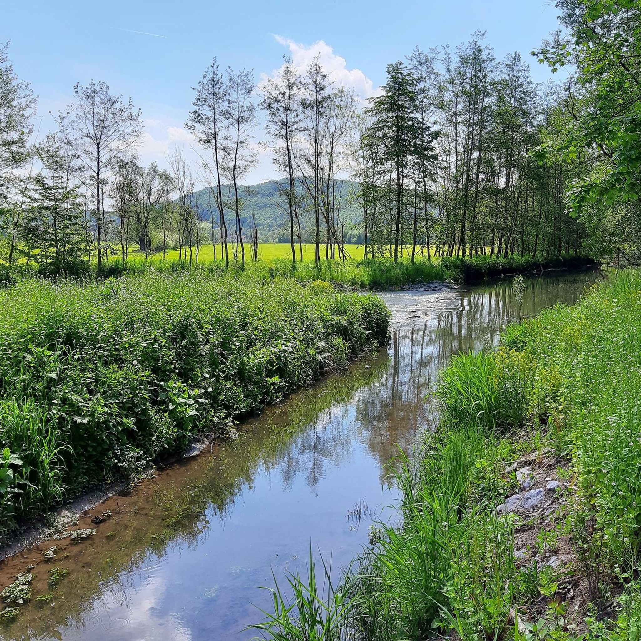
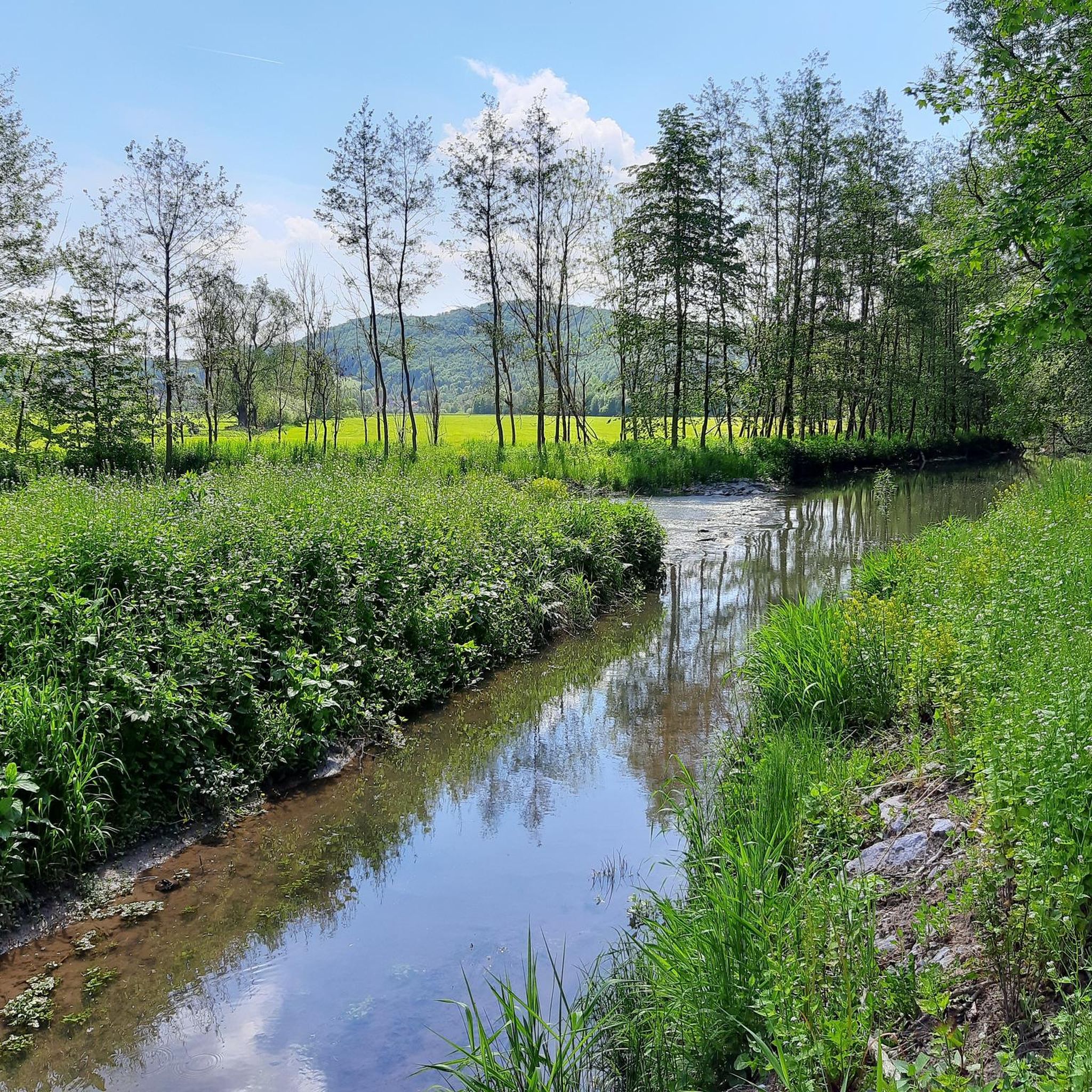

Tips from the Community

A very nice place to rest.
4
0

The Dolphin Fountain (also known as the Meadow Fountain) on the Kleiner Gleichberg near Römhild is a historic, restored spring located on the western slope near the Celtic hillfort. It was inaugurated around 1903, renovated in 2013, and is a popular rest stop along the mountain's hiking trails. It lies on the western slope of the 641-meter-high Kleiner Gleichberg, below the hillfort. The fountain was restored and rebuilt after a long period of disrepair. It is considered a gem by nature lovers. It is the source of the Wiesleinbach stream. Celtic settlement remains and dry stone walls are located nearby. The fountain exemplifies the dedication of the Friends of Steinsburg Association to the upkeep of the site.
6
0
Fountain with seating, pure nature.
16
0

Probably a former guardhouse.
0
0
Be careful at the edge!!!
0
0
Everything suggests that the old and early, arduous ascents of the high-altitude trails from the Werra Valley ended here; oxen, mules and horses were changed here before heading back downhill to Suhl and then conquering the Rennsteig via the Suhler Leube. For the descent of the further route to Suhl, the long ridge of the Steingebössel and then the Friedberg were used to reach the Haselfurt on the Kunigundenhügel. On the Pfütschberg, it came across a field site called "Eiserne Hand" for the second time, where farm buildings belonging to Neundorf farmers stood until the first half of the 20th century. Source: https://fraenkischesthueringen.blogspot.com/2020/06/die-eiserne-hand-eine-ausspanne-von.html?m=1
18
1
The Iron Hand near Altendammbach Near the Altendambacher Höhe, where the country road, forest and hiking trails meet, hikers or mountain bikers on their way towards Fischbach-Schleusingen pass a multi-armed signpost on which a hand cast from iron points to the sky on a narrow concrete base. Another signpost? A monument? There is hardly a long-time resident in the surrounding villages who does not know the "Iron Hand" and the forest area up there that is called that and has certainly heard some stories about it; but no one can really explain what this mysterious place and its not exactly everyday feature is all about. - And so there are always inquiries about it. Source: https://fraenkischesthueringen.blogspot.com/2020/06/die-eiserne-hand-eine-ausspanne-von.html?m=1
20
1

From 1939 to 1941, up to 250 Polish prisoners of war from the Mühlberg camp were housed in a barracks camp in the quarry of the basalt works on the Grosser Gleichberg. They had to do forced labor in the quarry, in the city, in agriculture or in the forest, among other things. From 1941 to 1942, a prisoner commando from the main camp in Bad Sulza with 120 prisoners was sent to the quarry. After the quarry was temporarily closed, a maximum of around 400 "foreign ethnic" forced laborers who had broken their contract were interned there in a Gestapo labor education camp from August 1943 to March 1945. The prisoners had to work in the basalt quarry or in the basalt works at Römhild station. They were also used to build bunkers and positions in Mendhausen and for a time in trades and crafts in Römhild and the surrounding area. At least 500 prisoners died in the camp or on the evacuation march in 1945. This includes 25 to 92 prisoners who were unable to march and were shot in a sand cave on the eastern slope of the Grosser Gleichberg. The cave entrance was then blown up, meaning that the mass grave was not found until the end of January 1947. (Wikipedia)
1
0
Frequently Asked Questions
What kind of natural features can I expect to see around Reurieth?
The region around Reurieth is characterized by its unique geological history, including volcanic formations. You'll find prominent mountains like the Summit of Großer Gleichberg, which is the highest point of the Heldburger Gangschar formation. There are also historic springs, such as the Delphin Spring (Wiesenbrünnle), and extensive forest areas like the Hildburghausen City Forest.
Are there any protected natural areas around Reurieth?
Yes, the Großer Gleichberg, a significant natural monument, was declared a protected area in 1942 and is currently a nature reserve, highlighting its ecological importance.
What outdoor activities can I do near these natural monuments?
The area offers a variety of outdoor activities. You can explore numerous hiking trails, including easy and moderate options. For cycling enthusiasts, there are dedicated MTB and gravel biking routes. For hiking, you can find routes like the 'Collapsed Mountain Cliff – Trostadt Monastery loop from Reurieth' or the 'Viewpoint at Reuriether Felsen – Mawatsburg Shelter loop from Reurieth'. Discover more options on the Hiking around Reurieth guide, the MTB Trails around Reurieth guide, or the Gravel biking around Reurieth guide.
Do any natural monuments have historical significance?
Absolutely. The Großer Gleichberg has a rich history, including its past as a restricted military area during the Cold War and former basalt quarries. The Römhild Labor Education Camp Memorial is a poignant historical site located within the former quarry on Großer Gleichberg. Additionally, the Iron Hand is a multi-armed signpost with historical roots as a resting point for travelers.
Are there family-friendly natural monuments or trails around Reurieth?
Yes, several natural monuments are suitable for families. The Iron Hand and the Delphin Spring (Wiesenbrünnle) are both categorized as family-friendly. The Rondell Shelter in the Hildburghausen City Forest also offers a pleasant, family-friendly spot with a unique mushroom-shaped seating area.
What makes the Großer Gleichberg a must-visit natural monument?
The Großer Gleichberg is considered one of Thuringia's most prominent mountains, offering impressive views of the surrounding Grabfeld landscape. Its geological formation from Tertiary volcanic activity, status as a nature reserve, and historical significance, including ancient Celtic settlements and former quarries, make it a unique destination. The climb to the summit is strenuous but rewards visitors with expansive vistas.
What is the 'Iron Hand' and where is it located?
The Iron Hand is a distinctive multi-armed signpost on a concrete base, located near Altendambacher Höhe. It's a known landmark that historically served as a resting point for travelers and is a popular starting point for bike tours.
Are there any easy hiking trails for beginners near the natural monuments?
Yes, there are easy hiking options available. For instance, the 'Trostadt Monastery – Brunnquell near Reurieth loop from Reurieth' is an easy 3.8 km hike, and the 'Viewpoint at Reuriether Felsen – Mawatsburg Shelter loop from Reurieth' is another easy 5.7 km route. You can find more easy trails in the Hiking around Reurieth guide.
What is the best season to visit the natural monuments around Reurieth?
The natural monuments around Reurieth can be enjoyed throughout the year, but spring and autumn often offer the most pleasant conditions for hiking and exploring, with mild temperatures and beautiful foliage. Summer is also great for outdoor activities, while winter can provide a serene, snow-covered landscape, though some trails might be more challenging.
Are there facilities like shelters or rest areas available?
Yes, you'll find several spots for rest and shelter. The Delphin Spring (Wiesenbrünnle) offers a nice, shady rest area with seating in the forest. The Rondell Shelter in the Hildburghausen City Forest is another beautifully designed seating area, perfect for a break.
What do visitors enjoy most about the natural monuments around Reurieth?
Visitors frequently praise the stunning views, especially from the Summit of Großer Gleichberg, which offers panoramas towards Franconia and Kleiner Gleichberg. The peaceful, natural settings of places like the Delphin Spring are also highly appreciated for their tranquility. The unique blend of natural beauty and historical significance, such as the former quarries and military sites on Großer Gleichberg, also captivates many explorers.
Most popular routes around Reurieth
Most popular attractions around Reurieth

Get inspired with the komoot mobile app


Explore more
Extend your search for the best caves by checking out these guides of the top ones around Reurieth:
