Top 20 Natural Monuments around Lengfeld
Best natural monuments around Lengfeld encompass diverse natural landscapes within the wider Würzburg district. The area features forested valleys, tranquil ponds, and riverine environments, providing varied natural settings. These locations offer opportunities for outdoor activities and present scenic viewpoints. Visitors can explore a range of natural features accessible from Lengfeld, including lakes and unique geological formations.
Best natural monuments around Lengfeld
- The most popular natural monuments is Dreisbachteich, a lake that is an idyllic pond suitable for walking and…
Last updated: June 24, 2026
Dreisbachteich
Highlight • Lake
Translated by Google •
Tip by

Erletor Reservoir
Highlight • Lake
Translated by Google •
Tip by

Sign up now to discover places like this
Get recommendations on the best single tracks, peaks, & plenty of other exciting outdoor places.
Sign up for free
Iron Hand
Highlight • Monument
Near the Altendambacher Höhe, where the country road, forest and hiking trails meet, hikers or mountain bikers on their way towards Fischbach-Schleusingen pass a multi-armed …
Translated by Google •
Tip by

Shepherds' Spring
Highlight • Natural Monument
Translated by Google •
Tip by

Collapsed Mountain Cliff
Highlight • Natural Monument
Translated by Google •
Tip by

Sign up for free to discover even more natural monuments around Lengfeld.
Sign up for free
Already have an account?
Start today with a free account
Your next adventure awaits.
Login or Signup
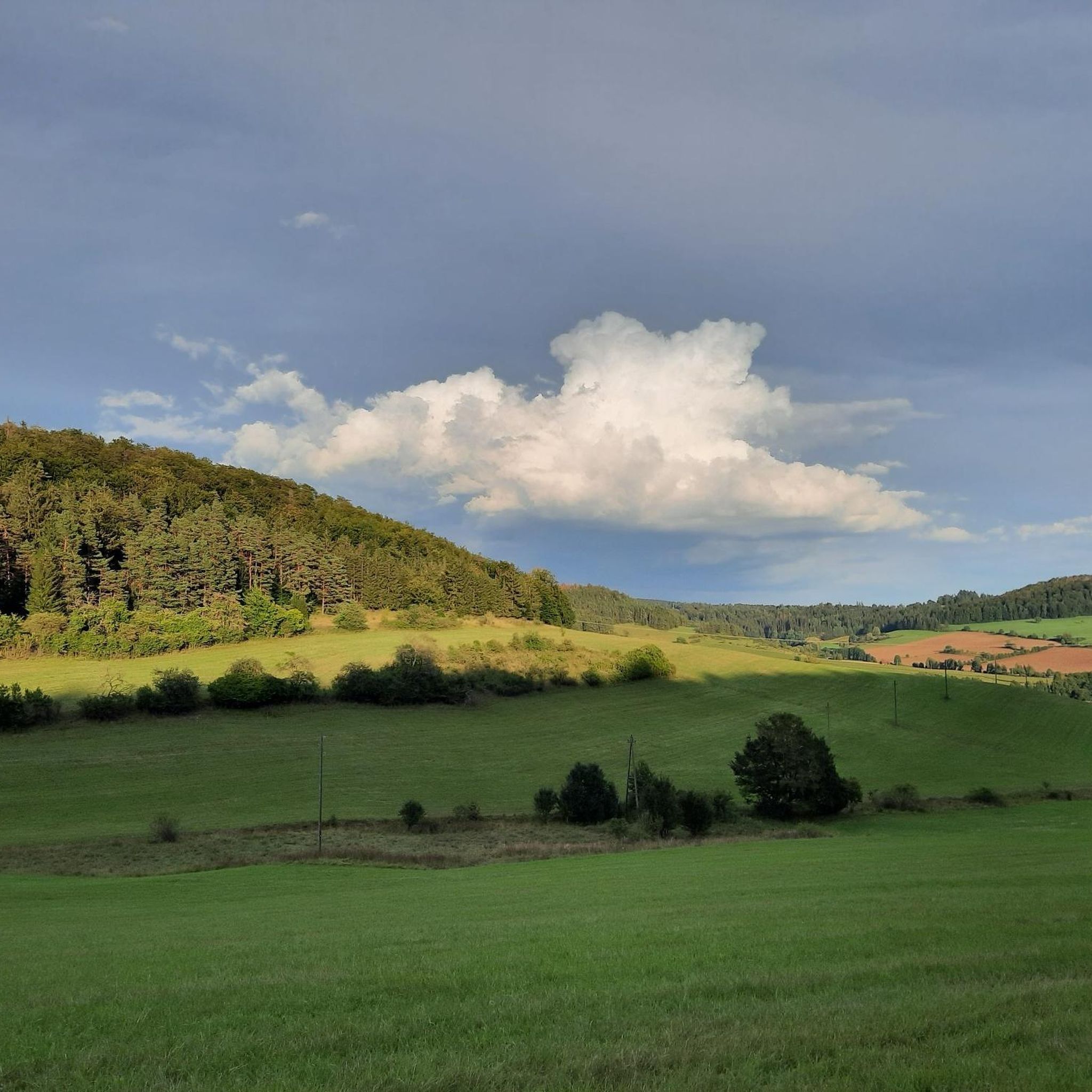
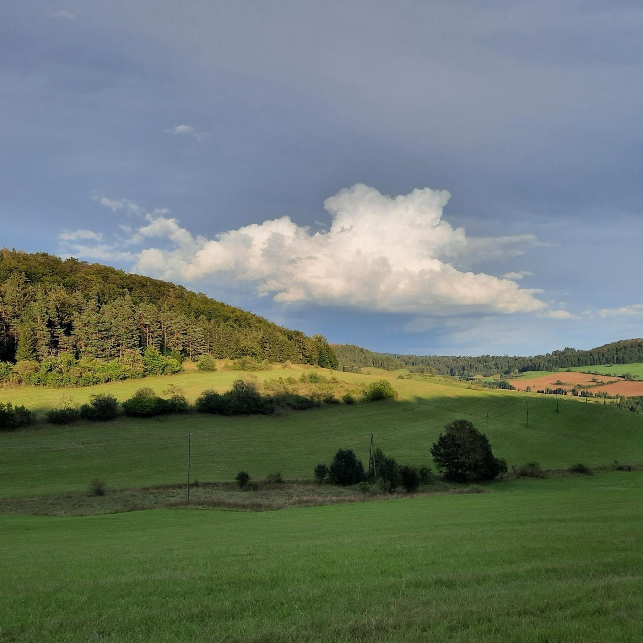
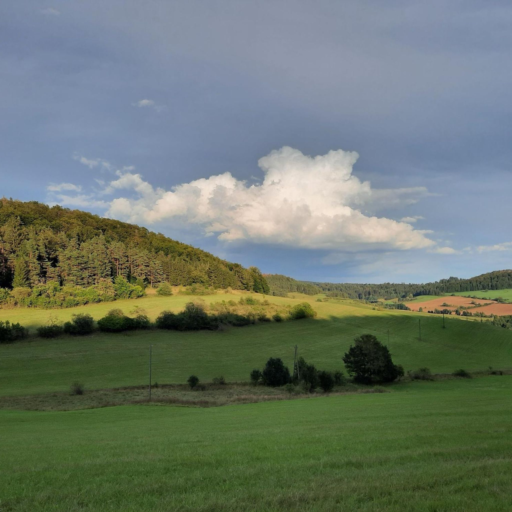
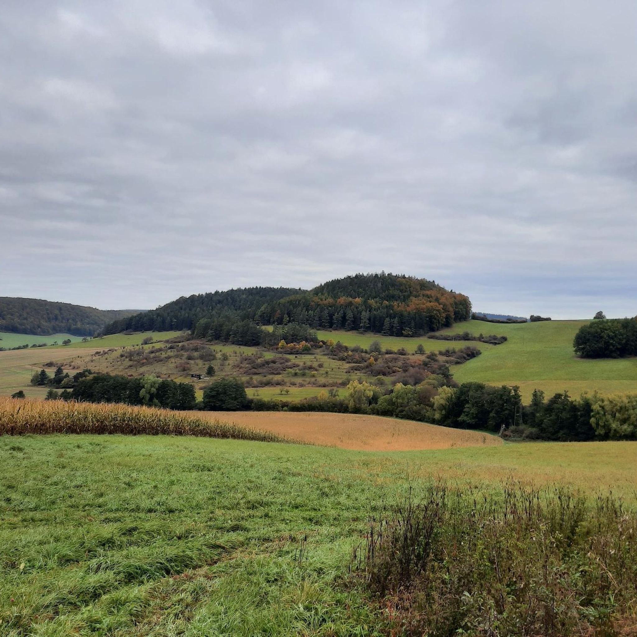
Tips from the Community

Very nice to hike, opens up many directions
1
0

Everything suggests that the old and early, arduous ascents of the high-altitude trails from the Werra Valley ended here; oxen, mules and horses were changed here before heading back downhill to Suhl and then conquering the Rennsteig via the Suhler Leube. For the descent of the further route to Suhl, the long ridge of the Steingebössel and then the Friedberg were used to reach the Haselfurt on the Kunigundenhügel. On the Pfütschberg, it came across a field site called "Eiserne Hand" for the second time, where farm buildings belonging to Neundorf farmers stood until the first half of the 20th century. Source: https://fraenkischesthueringen.blogspot.com/2020/06/die-eiserne-hand-eine-ausspanne-von.html?m=1
18
1
The Iron Hand near Altendammbach Near the Altendambacher Höhe, where the country road, forest and hiking trails meet, hikers or mountain bikers on their way towards Fischbach-Schleusingen pass a multi-armed signpost on which a hand cast from iron points to the sky on a narrow concrete base. Another signpost? A monument? There is hardly a long-time resident in the surrounding villages who does not know the "Iron Hand" and the forest area up there that is called that and has certainly heard some stories about it; but no one can really explain what this mysterious place and its not exactly everyday feature is all about. - And so there are always inquiries about it. Source: https://fraenkischesthueringen.blogspot.com/2020/06/die-eiserne-hand-eine-ausspanne-von.html?m=1
20
1

Nice place to step into the water and cool your feet 😊
3
0

Below the steep edge of the cliff, a huge sea of rocks beckons, with large chunks of rock that give little indication of the force that came from the rock fall. A legend that is described in full very close to the former Villa Iltenburg tells of another rock fall in 1137. There is no clear evidence of this, but it seems likely. According to the legend, there was once a place called Dörfles, which was inhabited by gypsies or Wends, who were not tolerated in Themar, but were important during the market or for entertainment. Just as the Veßra monastery was founded, a monk set out to visit them, but they threatened him and chased him away. He cursed the inhabitants and wished that the mountain would fall on them as a punishment from God. Only one 16-year-old girl showed interest in his teachings. He met with her regularly outside of the town. He begged her to leave the place, because after every winter, new cracks appeared in the rock. After two years, it finally happened and the mountain broke off one night. When the residents of Themar left the next morning, the village of Dörfles had disappeared and all the residents had perished.
2
0
In 1595, a large rock collapse occurred here, causing the entire mountainside to collapse into the valley! Since then, the gleaming, white limestone marl cliff has reflected the sun. There is only one path down the mountainside. As it is very narrow, a little attention is required here. The path is still quite steep at the top, but is secured with a railing. It is also worth mentioning that feral goats live here, which can sometimes block your path. This can lead to the odd surprise or chase.
3
0

Iron Hand 🖐🏻 is a fork in the road with seating in the middle of the forest 🌳 🌲 not far from Domicher Höhe
7
0

A beautiful but quite small dam. It is somewhat hidden, so you are relatively undisturbed here.
3
1
Frequently Asked Questions
What are some of the most popular natural monuments around Lengfeld?
Visitors frequently enjoy Dreisbachteich, an idyllic pond perfect for walking and cycling, known for its peaceful atmosphere and grazing Galloway cattle. Another favorite is Erletor Reservoir, a small, picturesque dam especially beautiful in autumn with its vibrant colors. The Iron Hand, a multi-armed signpost in a forest, is also popular as a starting point for bike tours and for its historical connections to high-altitude trails.
Are there family-friendly natural monuments to visit near Lengfeld?
Yes, several natural monuments are suitable for families. Dreisbachteich and Erletor Reservoir are both considered family-friendly, offering pleasant environments for walks. The area around the Iron Hand also provides a family-friendly setting within a forest, ideal for starting bike tours or enjoying a stroll.
Can I bring my dog to the natural monuments in the Lengfeld area?
While specific regulations for each site may vary, many natural areas and trails around Lengfeld, such as those near Dreisbachteich and the general forested paths, are typically dog-friendly. It's always advisable to keep dogs on a leash, especially near grazing animals or in areas with wildlife, and to clean up after them.
What kind of natural features can I expect to see around Lengfeld?
The Lengfeld area, part of the wider Würzburg district, offers diverse natural landscapes. You'll find tranquil lakes like Dreisbachteich and Erletor Reservoir, extensive forests, and unique geological formations such as the Collapsed Mountain Cliff. The region also features riverine environments, including the Main River, and scenic vineyards.
Are there good hiking opportunities near Lengfeld's natural monuments?
Yes, the area provides excellent hiking opportunities. For example, the Collapsed Mountain Cliff is accessible via a 30-minute hike from Themar on the Werra-Burgen-Steig. You can find various trails, including moderate options like the 'Themar Administrative Building loop' or the 'Themar Administrative Building – Collapsed Mountain Cliff loop'. More hiking routes are available in the Hiking around Lengfeld guide.
What about cycling routes near these natural monuments?
The region is well-suited for cycling. The Iron Hand serves as a popular starting point for many bike tours. You can explore routes such as the 'Half-Timbered Houses in Themar – Welcome Sign in Reurieth loop' or the 'Werra Weir in Henfstädt – Marisfeld Pond loop'. Discover more options in the Cycling around Lengfeld guide.
When is the best time of year to visit the natural monuments around Lengfeld?
The natural monuments around Lengfeld are beautiful year-round. Spring and autumn are particularly recommended for hiking along the Main River and through vineyards, offering breathtaking views and vibrant colors. Erletor Reservoir is noted for being especially beautiful in autumn. The forested areas, like those around Dreisbachteich, are fascinating in every season.
Are there viewpoints offering scenic vistas of the region?
Yes, several natural monuments and areas provide excellent viewpoints. The Collapsed Mountain Cliff offers beautiful views into the Werra Valley and the Thuringian Forest. The area around Marienberg Fortress, while historical, also provides calm walking trails with beautiful town and nature views overlooking Würzburg and the Main River. Shepherds' Spring also offers a great view of the Upper Rossbachtal.
What historical context is associated with any of Lengfeld's natural monuments?
The Iron Hand is deeply rooted in local history. This multi-armed signpost marks a forest area associated with old, arduous high-altitude trails where oxen, mules, and horses were once changed before continuing their journey. The Collapsed Mountain Cliff is also historically significant, formed by a large rock collapse in 1595, creating its distinctive steep rock face.
What are the parking options for visiting natural monuments near Lengfeld?
Parking availability varies by location. For popular spots like Iron Hand, which serves as a starting point for tours, you can often find designated parking nearby. For other natural areas, roadside parking or small lots might be available. It's recommended to check specific access points for each monument for the most accurate parking information.
How can I reach the natural monuments around Lengfeld by public transport?
While some natural monuments might be accessible via local bus routes from Lengfeld or Würzburg, many are best reached by combining public transport with a walk or cycle. For example, areas like Steinbachtal are just outside Würzburg and can be reached by local transport, followed by a walk. For more remote natural features, a car might be the most convenient option.
Are there any unique or less-known natural spots worth exploring?
Beyond the main highlights, the wider Würzburg region offers hidden gems. The Steigerwald, a bit further afield, features a tree-top walk near Ebrach, providing a unique perspective of the extensive beech forests. Exploring the diverse landscapes of Steinbachtal, with its forested valleys and marshlands, can also reveal tranquil, less-trafficked paths.
Where can I find refreshments or accommodation after visiting the natural monuments?
Lengfeld and the surrounding Würzburg district offer various options for refreshments and accommodation. You'll find cafes, pubs, and restaurants in Würzburg city center and smaller establishments in towns and villages near hiking trails. For accommodation, options range from hotels in Würzburg to guesthouses and holiday rentals in the more rural areas.
What are some easy hiking options near Lengfeld's natural monuments?
For easier hikes, consider routes like the 'Kloster Veßra Monastery loop' which is rated as easy and covers about 6.5 km. Another easy option is the 'Teufelsstein Basalt Cliff – Feldstein Rock Formation loop' at around 6.5 km. These trails offer a gentle way to experience the natural beauty of the region. You can find more easy routes in the Hiking around Lengfeld guide.
Most popular attractions around Lengfeld

Get inspired with the komoot mobile app


Explore more
Extend your search for the best caves by checking out these guides of the top ones around Lengfeld:
