Top 20 Natural Monuments around Crostwitz
Best natural monuments around Crostwitz are found within a landscape characterized by its charming natural setting. The municipality is situated between 160 and 180 meters above sea level, traversed by the Satkula brook which flows into the Klosterwasser. The eastern part features the Church's hill, contributing to the picturesque environment. This region offers a variety of natural features, including summits, river sources, and unique rock formations, making it suitable for outdoor exploration.
Best natural monuments around Crostwitz
- The most popular…
Last updated: July 8, 2026
Hochstein (Sibyllenstein) – Highest Point of Westlausitz
Highlight • Summit
Translated by Google •
Tip by

Butterberg Observation Tower and Mountain Inn
Highlight • Viewpoint
Translated by Google •
Tip by

Sign up now to discover places like this
Get recommendations on the best single tracks, peaks, & plenty of other exciting outdoor places.
Sign up for free
Source of the Schwarze Elster
Highlight • Natural Monument
Translated by Google •
Tip by

Dreisesselstein
Highlight • Natural Monument
Translated by Google •
Tip by

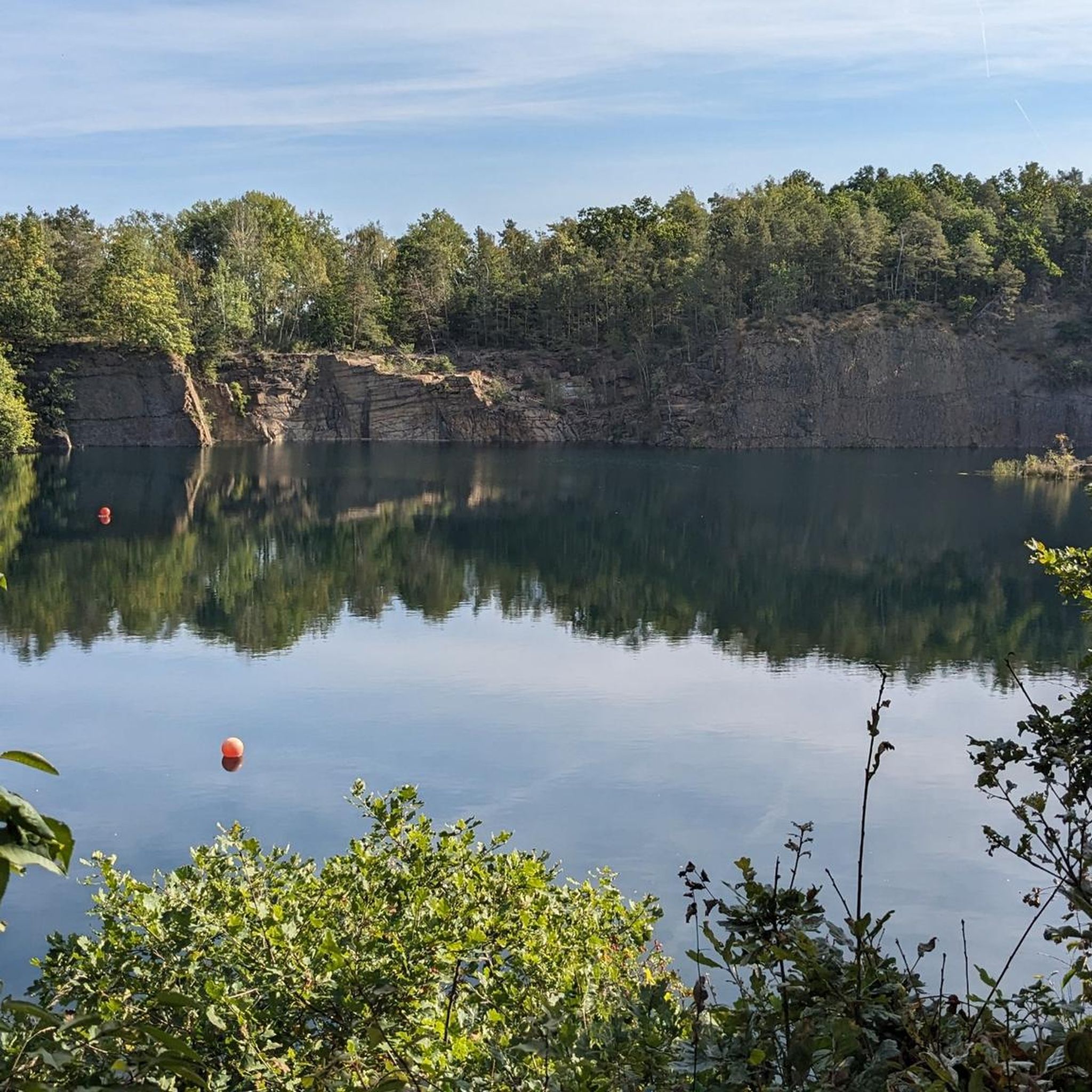
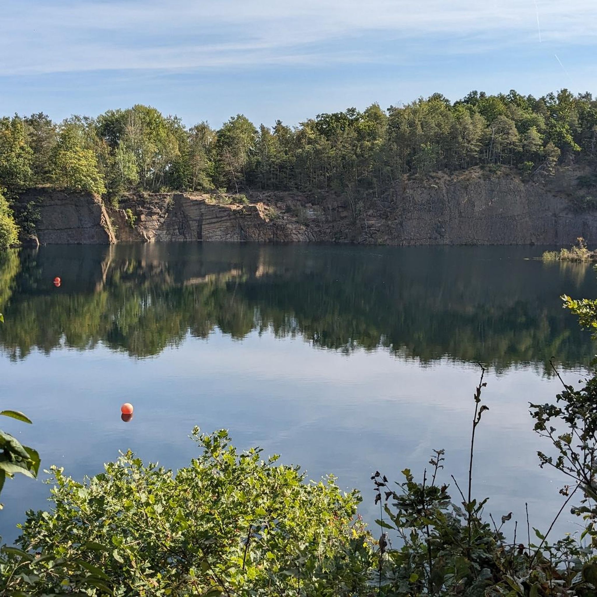
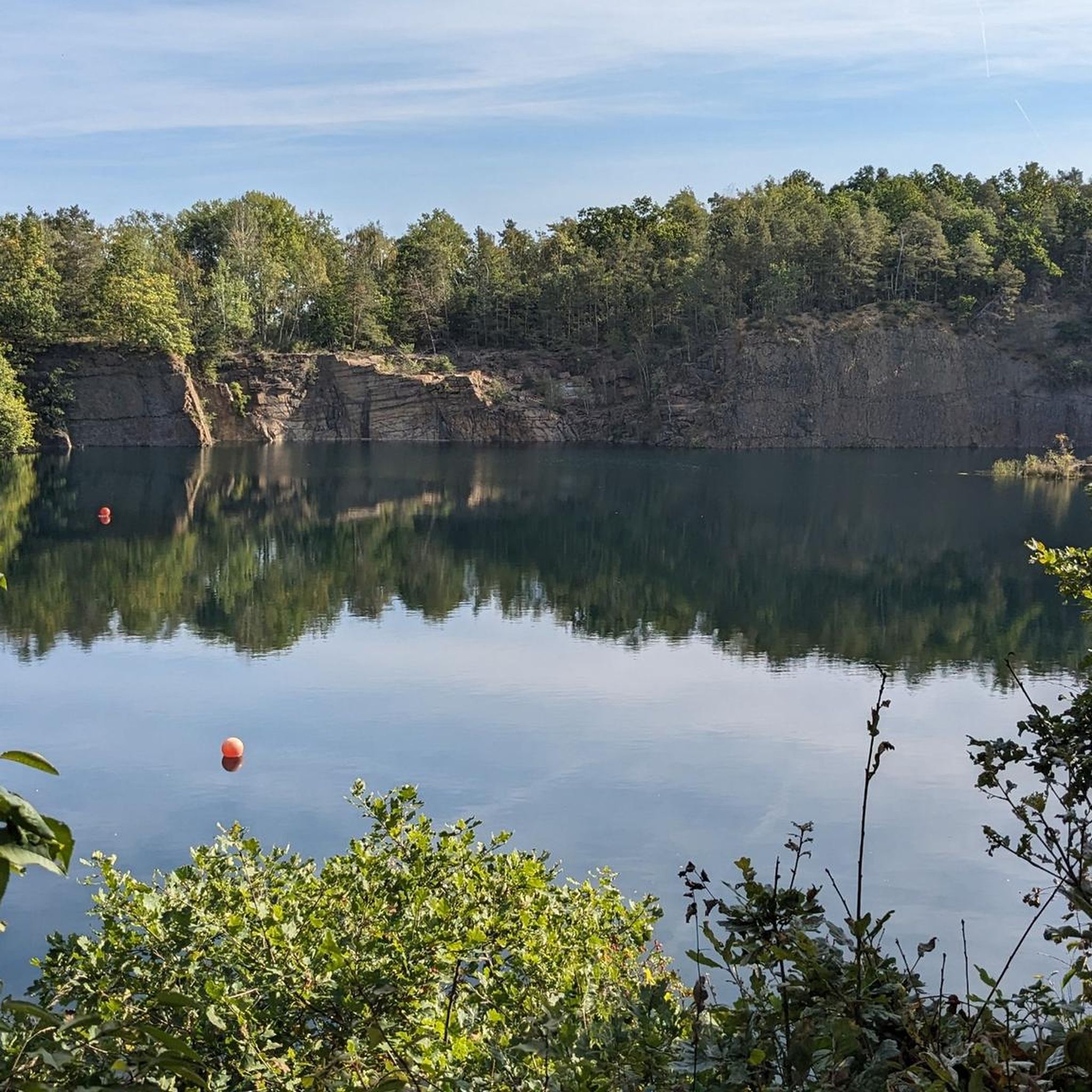
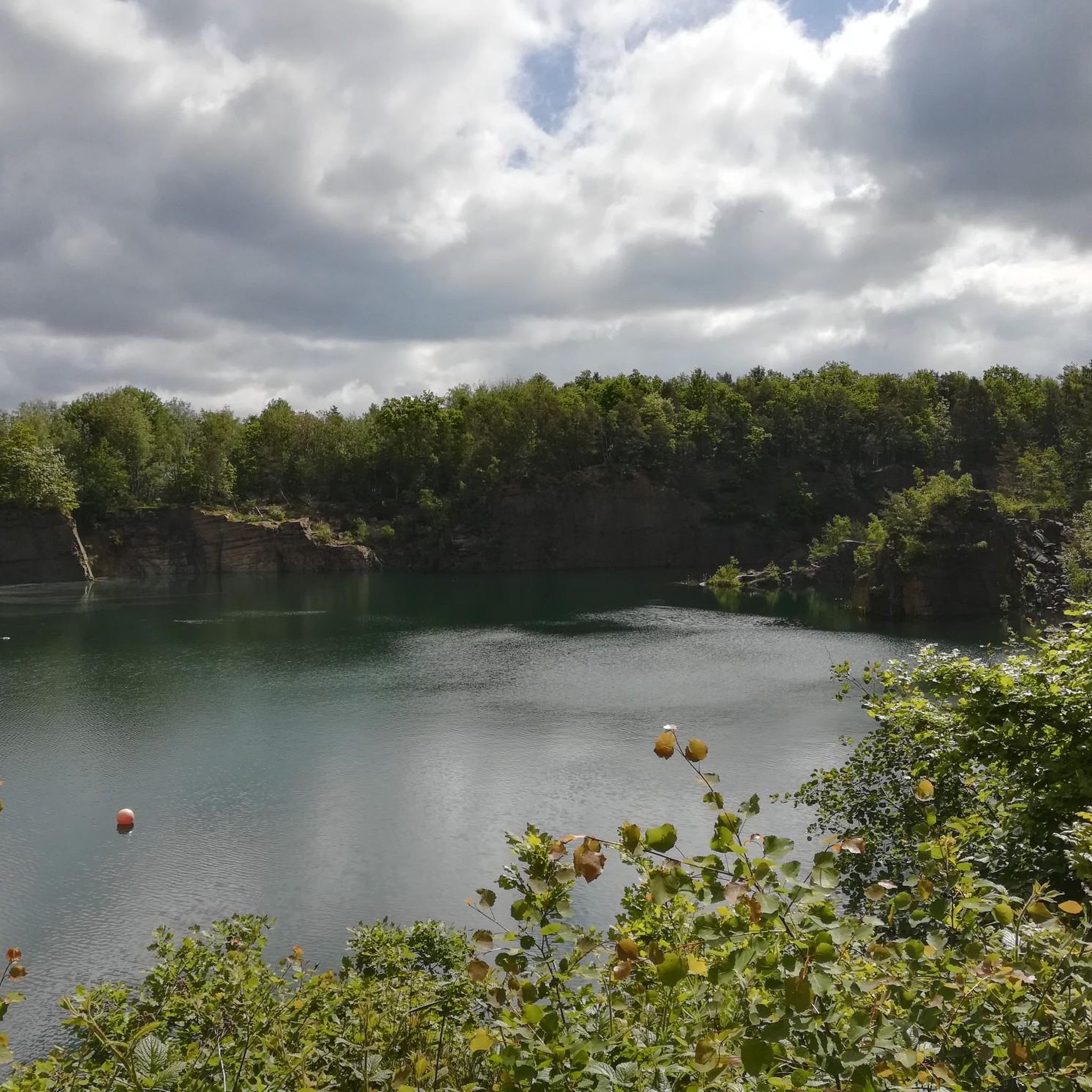
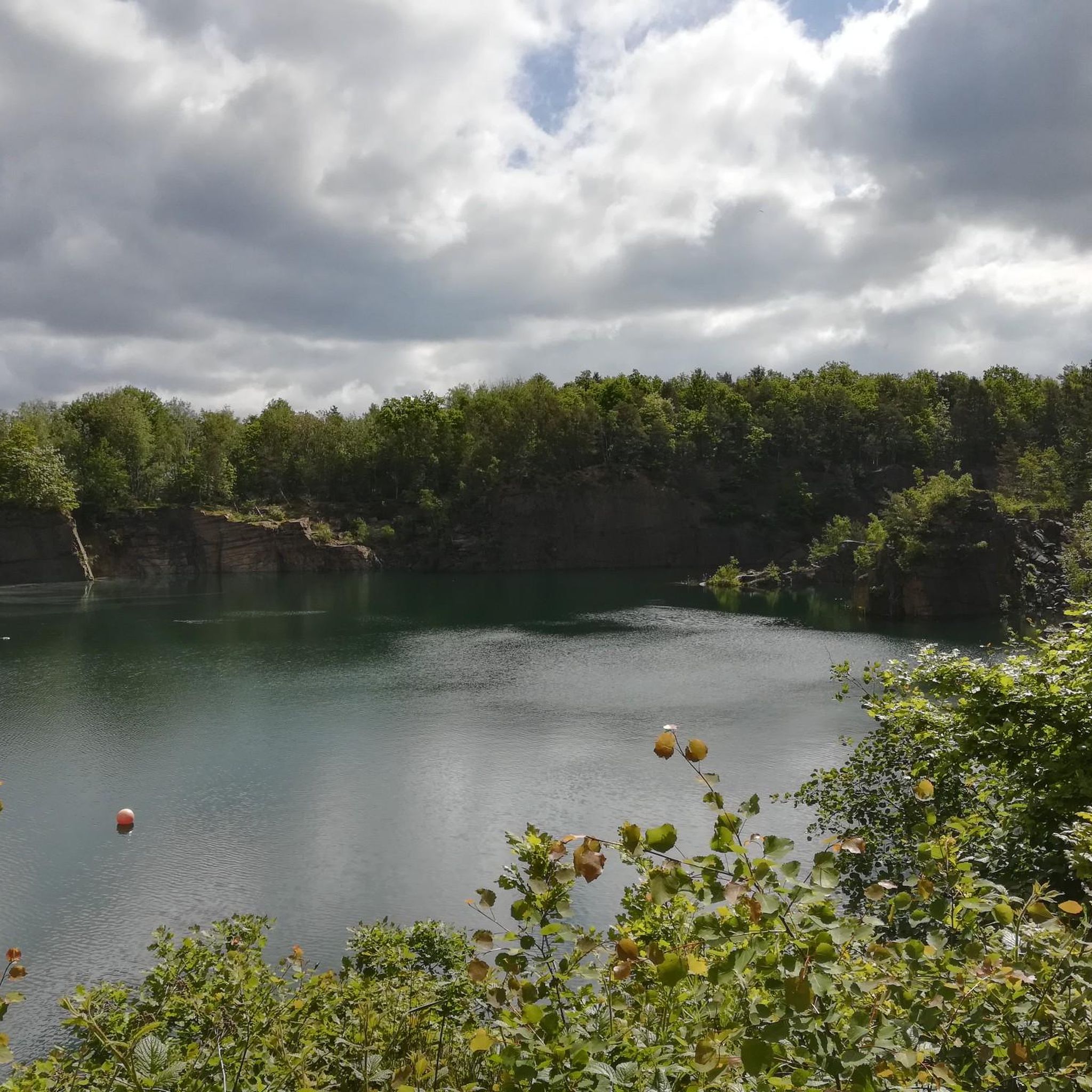
Demitz-Thumitz Quarry Lake
Highlight • Lake
Translated by Google •
Tip by
Sign up for free to discover even more natural monuments around Crostwitz.
Sign up for free
Already have an account?
Start today with a free account
Your next adventure awaits.
Login or Signup

Tips from the Community

The Black Elster River originates at an elevation of 317 meters above sea level in the Lusatian Mountains (Upper Lusatia). Information: A 179-kilometer-long right tributary of the Elbe River in the German states of Saxony, Brandenburg, and Saxony-Anhalt. It began drying up in 2018. Due to the exceptionally hot and dry weather, the increasingly frequent drying of the spring basin reflects the drought in the source area.
1
0

The Black Elster (Lower Sorbian: Carny Halšter, obsolete: Carna Bytśica; Upper Sorbian: Čorny Halštrow) is a 179-kilometre-long, right tributary of the Elbe in the German states of Saxony, Brandenburg and Saxony-Anhalt.
1
0
The Hochstein, also called Sibyllenstein (Sibinnen-Stein, Sibillenstein or Sybillen-Stein), Upper Sorbian Žiwiny, is a 449-metre-high mountain in Upper Lusatia in the Saxon district of Bautzen. It is the highest elevation in the Northwest Lusatian Uplands and the highest mountain in Upper Lusatia north of the A4.
4
0

The Butterberg is almost 384 meters high and is located just a few kilometers from the center of Bischofswerda. At the summit there is an inn in historic walls with a 21 meter high observation tower. You can find more information and opening times here: http://www.butterberg.com/.
3
1

the spring wasn't bubbling so much today 🤷♂️
4
1
If the trees around weren't so high then there would definitely be a great view :) otherwise a nice place to collect information and to rest
5
1

We went down from the top 👆 via single trail to the spring, which was possible by bike. To do this, we had to carry the bike over the boulders after the bridge in the direction of the Schwarze Elster cycle path. 😎✌️
2
1

At this point is the source of the Black Elster, which unfortunately has dried up more and more often in recent years due to the severe drought and heat waves. The last meters to the spring lead uphill through rough terrain, which is why it is best to park your bike at the foot of the hill and walk the last 50 meters. Incidentally, there are different length specifications for the length of the river, which is probably due to the fact that the course of the Black Elster was significantly changed in the middle of the 19th century. Various straightening measures, among other things, severed numerous side arms, which has earned the Black Elster the nickname "straightened water highway". And the white-black raven bird has nothing to do with the naming, by the way. The name means "to flow" and derives from the Indo-European word "Al-astra" or "Al-istra".
4
1
Frequently Asked Questions
What unique natural features can I explore around Crostwitz?
The region around Crostwitz offers a variety of natural features, including significant summits, the origins of rivers, and distinctive granite rock formations. For example, you can visit the Hochstein (Sibyllenstein) – Highest Point of Westlausitz, which is the highest elevation in the Northwest Lusatian Uplands. Another notable feature is the Source of the Schwarze Elster, marking the beginning of the Black Elster river.
Are there any natural monuments with historical significance in the area?
Yes, several natural monuments around Crostwitz also hold historical importance. The Butterberg Observation Tower and Mountain Inn, for instance, was part of the Royal Saxon Triangulation network. Another example is the Dreisesselstein, an unusually shaped granite block that served as an old boundary stone from 1776 and is associated with local legends.
What kind of outdoor activities can I do near these natural monuments?
The natural monuments around Crostwitz are excellent starting points for various outdoor activities. You can find numerous options for hiking, running, and road cycling. For instance, there are easy to moderate hiking trails around Crostwitz, including loops around the Horka Quarry Lake. If you prefer running, explore the running trails around Crostwitz, or for cycling, check out the road cycling routes that pass through the scenic landscape.
Are there family-friendly natural monuments or activities suitable for children?
Absolutely. The Butterberg Observation Tower and Mountain Inn is considered family-friendly, offering a mountain inn and an observation tower with views. The Source of the Schwarze Elster is also suitable for families, though the last meters to the spring involve rough terrain. Additionally, the Demitz-Thumitz Quarry Lake area is family-friendly and offers beautiful hiking and biking opportunities.
What is the Tauchsee Horka and what makes it special?
The Tauchsee Horka, located in the Horka district of Crostwitz, is a unique natural feature with a fascinating history. It's one of six remaining pits from historical granite quarries. The largest pit has a water surface of 3.7 hectares and a depth of 35 meters, making it a popular spot for diving due to its clear waters. Even if you're not diving, the area around the lake provides opportunities for walks and appreciating the natural contours left by the quarrying activities.
What kind of views can I expect from the natural monuments?
Many natural monuments around Crostwitz offer rewarding views. From the Butterberg Observation Tower and Mountain Inn, you can enjoy extensive views to other former triangulation stations like Wetro, Salzenforst, and Valtenberg. While the Hochstein (Sibyllenstein) is the highest point, visitor tips suggest that while it's a nice place to rest and gather information, the view might be partially obscured by trees.
Are there any natural monuments related to water features?
Yes, the region features several water-related natural monuments. The Source of the Schwarze Elster marks the origin of a significant river. Additionally, the Demitz-Thumitz Quarry Lake is a beautiful lake formed from a former granite quarry, offering a unique landscape and opportunities for recreation.
What do visitors particularly enjoy about the natural monuments around Crostwitz?
Visitors appreciate the diverse landscapes, from high points offering potential views to historical geological features. The komoot community has shared over 720 photos and given more than 650 upvotes, highlighting the region's appeal for outdoor exploration and its charming natural setting. Many enjoy the combination of natural beauty with historical context, such as the old boundary stones and former triangulation stations.
What is the terrain like for exploring these natural monuments?
The terrain varies across the natural monuments. While some areas offer easy walks, others, like the last meters to the Source of the Schwarze Elster, can be rough and uphill. The region generally sits between 160 and 180 meters above sea level, with features like the Church's hill contributing to a picturesque but varied landscape. It's advisable to wear appropriate footwear for hiking.
Are there any hidden gems or lesser-known natural spots worth visiting?
While not formally listed as a natural monument in all contexts, the Tauchsee Horka is a unique and perhaps lesser-known spot. This former granite quarry offers exceptionally clear waters, making it a popular destination for divers. For non-divers, the surrounding area provides a tranquil setting for walks and appreciating the industrial heritage transformed by nature.
Can I find information about the geological history of the area?
Yes, the region has a rich geological history, particularly concerning granite. The area around the Klosterberg, including the Demitz-Thumitz Quarry Lake, was once the most important and largest granite mining area in Saxony. Information boards in places like the quarry lake explain how granite mining shaped the landscape and the local communities from the mid-19th century onwards.
Most popular routes around Crostwitz
Most popular attractions around Crostwitz

Get inspired with the komoot mobile app


Explore more
Extend your search for the best caves by checking out these guides of the top ones around Crostwitz:
