Top 4 Natural Monuments around Bresegard bei Picher
Natural monuments around Bresegard bei Picher are situated within the Griese Gegend region of Mecklenburg-Vorpommern, Germany. This area is characterized by extensive forests, green meadows, and small moors, shaped by the Ice Age. The landscape features sandy soils and is known for its ecological value, including being a significant bird paradise. It offers diverse natural attractions for exploration.
Best natural monuments around Bresegard bei Picher
- The most popular natural monuments is Wandering Dune (Schwarze Berge), a natural monument located…
Last updated: July 8, 2026
Ludwigslust Hunting Star (Fourteen Avenues)
Highlight • Forest
Translated by Google •
Tip by

Wandering Dune (Schwarze Berge)
Highlight • Natural Monument
Translated by Google •
Tip by

Sign up now to discover places like this
Get recommendations on the best single tracks, peaks, & plenty of other exciting outdoor places.
Sign up for free
View of the dunes from Teehaus Hill
Highlight • Viewpoint
Translated by Google •
Tip by

Largest glacial erratic in the Griese area
Highlight • Natural Monument
Translated by Google •
Tip by

Start today with a free account
Your next adventure awaits.
Login or Signup
Tips from the Community

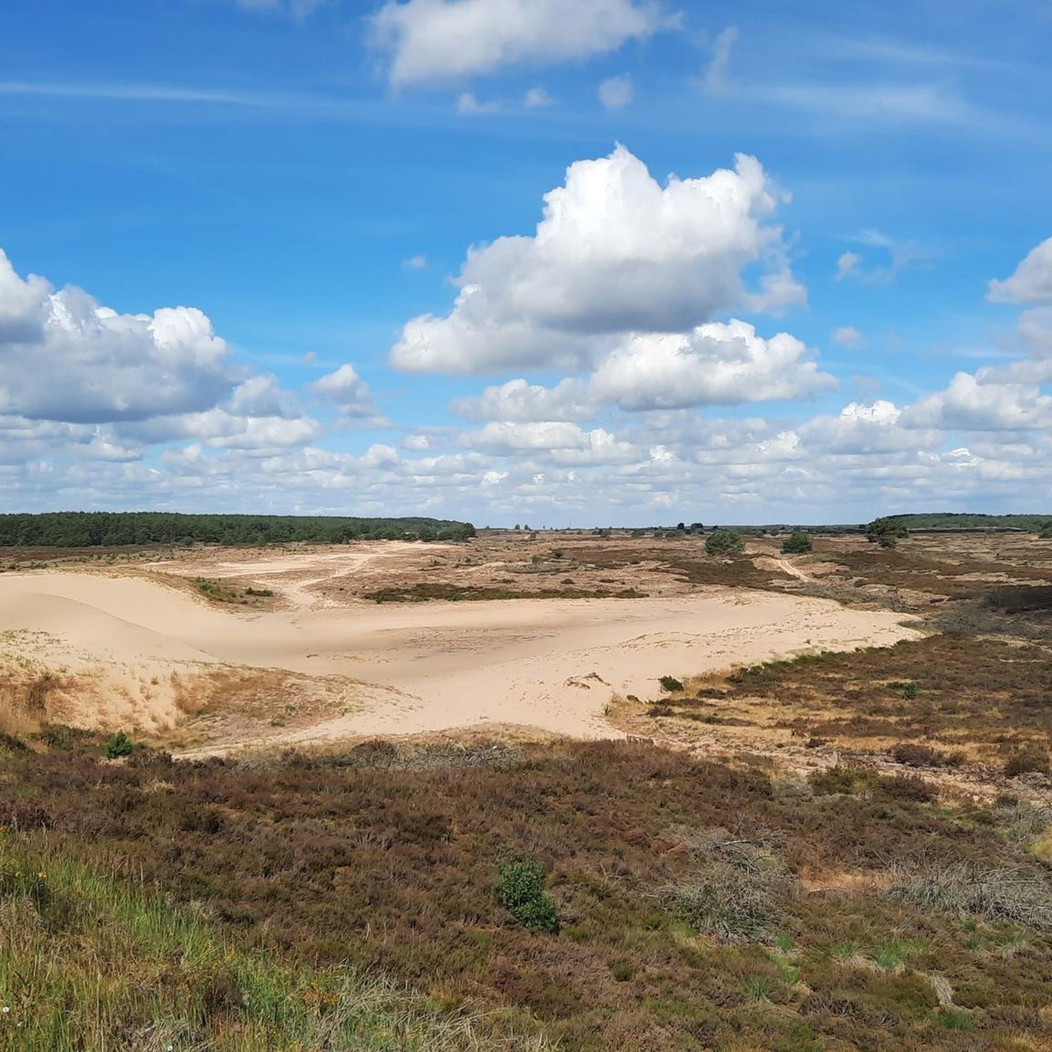
There is no longer a covered seating area on the hill. But if you are looking for shade, you can look for it on or in the house. From the hill, you can admire a wonderful panorama - including the inland dune.
0
0
At 19 tons, this red gneiss, which lies directly on the path between Neu Krenzlin and Göhlen, cannot be overlooked. The weakly metamorphic orthogneiss was probably transported here by glaciers during the end of the Saale Ice Age (Warthe stage). The age of the rock is estimated to be between 1.8 and 1.9 billion years. Right next to the Brocken there is a large-leaved lime tree that provides wonderful shade in the summer. So the rock not only offers an interesting regional historical point, but also a great place to linger. The only thing missing is a bench to sit on.
0
0

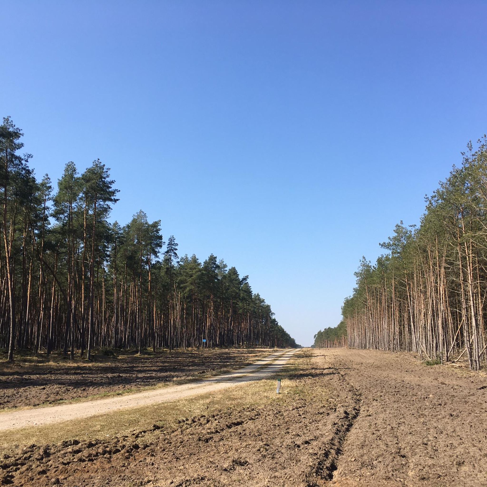
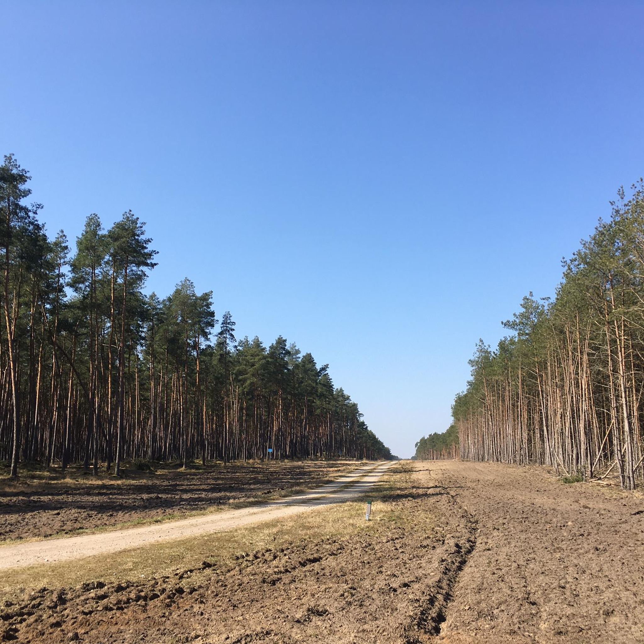
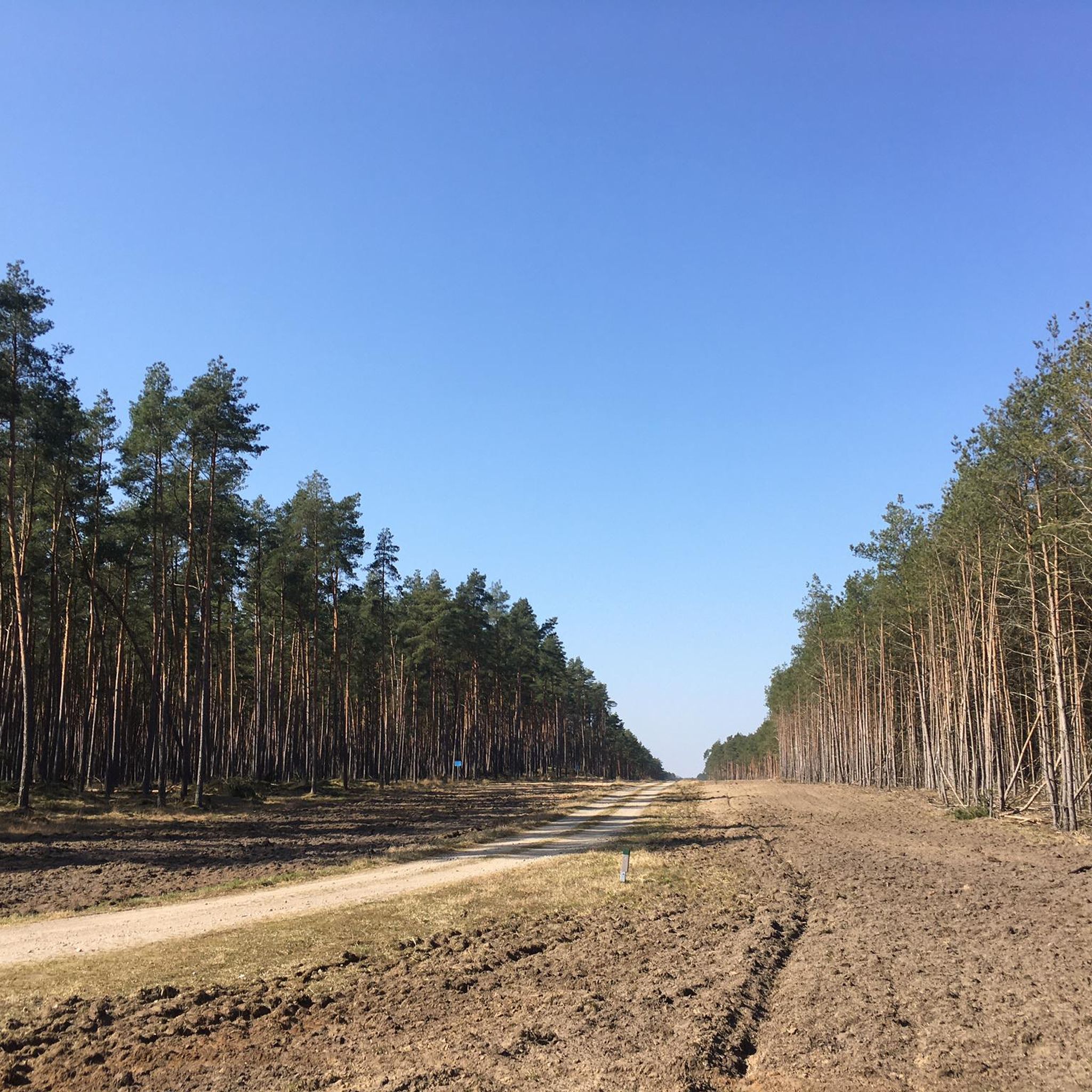
Very large expansion of this hunting star.
0
0

The Ludwigslust hunting star was laid out west of his hunting lodge by order of Christian Ludwig II in the 1730s. The avenues lead through damp areas, such as cracks and scours with alder growth, and drier clumps with mostly coniferous wood. The star with its avenues has a north-south extension of approx. 5 km and an east-west extension of approx. 6 km. Source: https://www.ludwigslust.de/Kultur-Tourismus/Sehenswertes/Ludwigslust/Schlosspark.php?object=tx,3634.345.1&NavID=3634.134&La=1
0
0

The Ludwigsluster Jagdstern was laid out west of his hunting lodge in the 1830s by order of Christian Ludwig II. The avenues lead through damp areas, such as quarries and pools with alder vegetation, and drier clumps with predominantly coniferous wood. With its avenues, the star has a north-south extension of approx. 5 km and an east-west extension of approx. 6 km. In the closer star area around the island, moist to wet forest areas predominate; in the wider star area, on the other hand, the meadow areas increase. These humid lowlands are rich in game. The avenues were designed as unrolled hunting dams with drainage ditches on both sides. In 1756 Duke Friedrich tied the Ludwigsluster Canal in the Jagdstern. Large parts of the alder forest are now valuable biotopes that enjoy legal protection. Today, near-natural forestry adapts to these conditions. The city of Ludwigslust has created an educational forest trail in this area. https://www.stadtludwigslust.de/natur-und-erendung/rund-um-natur/
4
0


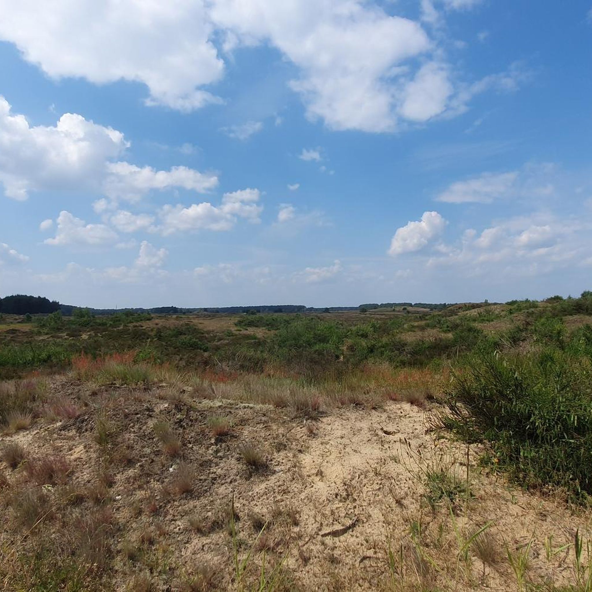
Lookout point, rest area "Teehaus" with a wide view of the heathland and the dunes. ------------------------ Väle Johrn would have you, now a werre up bicycle and tau faut up'n padd dör de LübheenerHeide can struggle. Dat Rebeit is ok as stripes, stripes, shooting range, military training area and JabelerHeide künnig. All de Wäg (gravel, chippings, sand, asphalt fragments) laaten sik fien fohrn and de body ümtau sünd nu werre dör de Heid henndör verbunn. (Lübbendorf, Ramm, Belsch, Quast (Wüstung), Laupin, Loosen, Kavelmoor, HohenWoos, AltJabel, Vielank, Volzrade, Jessenitz, Trebs and ProbstJesar. Etc ...) In't Johr 2019 is up duss flag de grote WaldbrandLübheen 🚒 wäst, can be up Stunns still at all de swatten Bööm. Süst exists here, so as mostly in the GriesenGegend, ut väl Dannbööm🌲, Sand un Heide man - man klor, all the Gäl SandBargen (including Black Mountains) and inland dunes do not forget ... Dat giwt in de Heid bannig väl KrüzWäg un Twälen (fork) and dor süll'n de Wieser (signs) help the right Padd tau finn. Man de Wieser didn’t show the right padd, but you’re able to bitter. One war all for miehr as 150 Johrn us Fritz Reuter schräben: “… As ick achter de Möhl kamm, kamm ick in de Heid'ne desolate area! Sand an Dannenbusch an Heid'krut ... so again that Oog stretches! Weg´gungen bi Weg´, yeah, äwer wecker Weg what de right? " (F.Reuter to KalißerHeid, South WestMecklenb.)
0
1

Parforce hunting was carried out here in the 18th century.
5
0
Frequently Asked Questions
What kind of natural features can I expect to see around Bresegard bei Picher?
The region around Bresegard bei Picher, part of the larger Griese Gegend, is characterized by diverse landscapes shaped by the Ice Age. You'll find extensive pine forests, green meadows, and small moors. Notable features include unique water systems like the 24 Wassersprünge, inland dunes, and large glacial erratics. The area is also known for its rich biodiversity, especially in birdlife.
Are there any historical natural monuments in the area?
Yes, the Ludwigslust Hunting Star (Fourteen Avenues) is a significant historical natural monument. It was laid out in the 18th century for parforce hunting and features a unique system of avenues leading through diverse forest areas, including valuable alder biotopes. It's an interesting blend of historical landscape design and natural preservation.
What outdoor activities can I enjoy near the natural monuments?
The area offers excellent opportunities for hiking and cycling. You can explore the diverse terrain of the Griese Gegend, which includes sandy soils, forests, and meadows. For specific hiking routes, you can find options in the Hiking around Bresegard bei Picher guide. Cyclists can discover various routes, including those listed in the Road Cycling Routes around Bresegard bei Picher guide.
Are there easy hiking trails around the natural monuments?
Yes, there are several easy hiking trails suitable for a relaxed outing. For example, you can find routes like the 'Hagenow Railway Water Tower – Hagenow Land Railway Station loop' or the 'Sude Bridge – Fish ladder at a lock loop'. More options are available in the Easy hikes around Bresegard bei Picher guide.
Are there any family-friendly natural monuments to visit?
Absolutely. The Ludwigslust Hunting Star (Fourteen Avenues) is considered family-friendly, offering an educational forest trail. Additionally, the Largest glacial erratic in the Griese area is an accessible and interesting spot for families, with a large lime tree providing shade.
What is the best time of year to visit the natural monuments?
The Griese Gegend, where Bresegard bei Picher is located, is particularly beautiful in spring when the landscape comes alive. However, the extensive forests and meadows offer scenic beauty and tranquility throughout the warmer months, making spring to early autumn ideal for outdoor activities.
Can I see any unique geological formations?
Yes, the area is home to unique geological features. You can visit the Wandering Dune (Schwarze Berge), which is part of the largest contiguous sand heath in Mecklenburg. Another impressive formation is the Largest glacial erratic in the Griese area, a 19-ton red gneiss boulder transported by glaciers during the Ice Age.
What makes the '24 Wassersprünge' natural monument special?
The 24 Wassersprünge (24 Water Jumps) is a unique natural monument featuring a system of spring jets powered by hydropower. It offers a tranquil environment with the calming sound of a waterfall and serene surroundings, showcasing the subtle power of natural water forces.
Is the area good for birdwatching?
Yes, the broader region is excellent for birdwatching. The Griese Gegend is known as a significant bird paradise. Nearby, the European Bird Reserve Lewitz, Germany's largest contiguous meadow landscape, is a haven for diverse bird species, including white-tailed eagles, ospreys, common kingfishers, and cranes.
Are there viewpoints to appreciate the natural landscape?
Yes, you can find scenic viewpoints. The View of the dunes from Teehaus Hill offers a wide panorama of the heathland and inland dunes, providing a great perspective on the unique landscape of the region.
What are some of the general appeals visitors find in this region?
Visitors often appreciate the tranquility and natural beauty of the Griese Gegend. The extensive forests, peaceful meadows, and unique natural monuments like the 24 Wassersprünge offer a serene escape. The area's rich history, particularly evident at sites like the Ludwigslust Hunting Star, also adds to its appeal for those interested in both nature and heritage.
Most popular attractions around Bresegard bei Picher

Get inspired with the komoot mobile app


Explore more
Extend your search for the best caves by checking out these guides of the top ones around Bresegard bei Picher:
