Top 15 Natural Monuments around Ramerberg
Natural monuments around Ramerberg offer a diverse landscape characterized by rolling hills, green meadows, and views of the Alpine panorama. The region provides an environment valued for outdoor activities, including numerous hiking and cycling trails. Protected areas, such as Fauna-Flora-Habitat-Gebiete, indicate a commitment to preserving its ecological value. Visitors can explore various natural attractions, from river landscapes to unique nature reserves.
Best natural monuments around Ramerberg
- The most popular natural monuments is Steep Banks of the Inn River, a…
Last updated: October 11, 2026
Steep Banks of the Inn River
Highlight • Natural Monument
Translated by Google •
Tip by

Zillhamer Lake
Highlight • Lake
Translated by Google •
Tip by

Sign up now to discover places like this
Get recommendations on the best single tracks, peaks, & plenty of other exciting outdoor places.
48th Parallel and 12th Meridian Marker
Highlight • Monument
Translated by Google •
Tip by

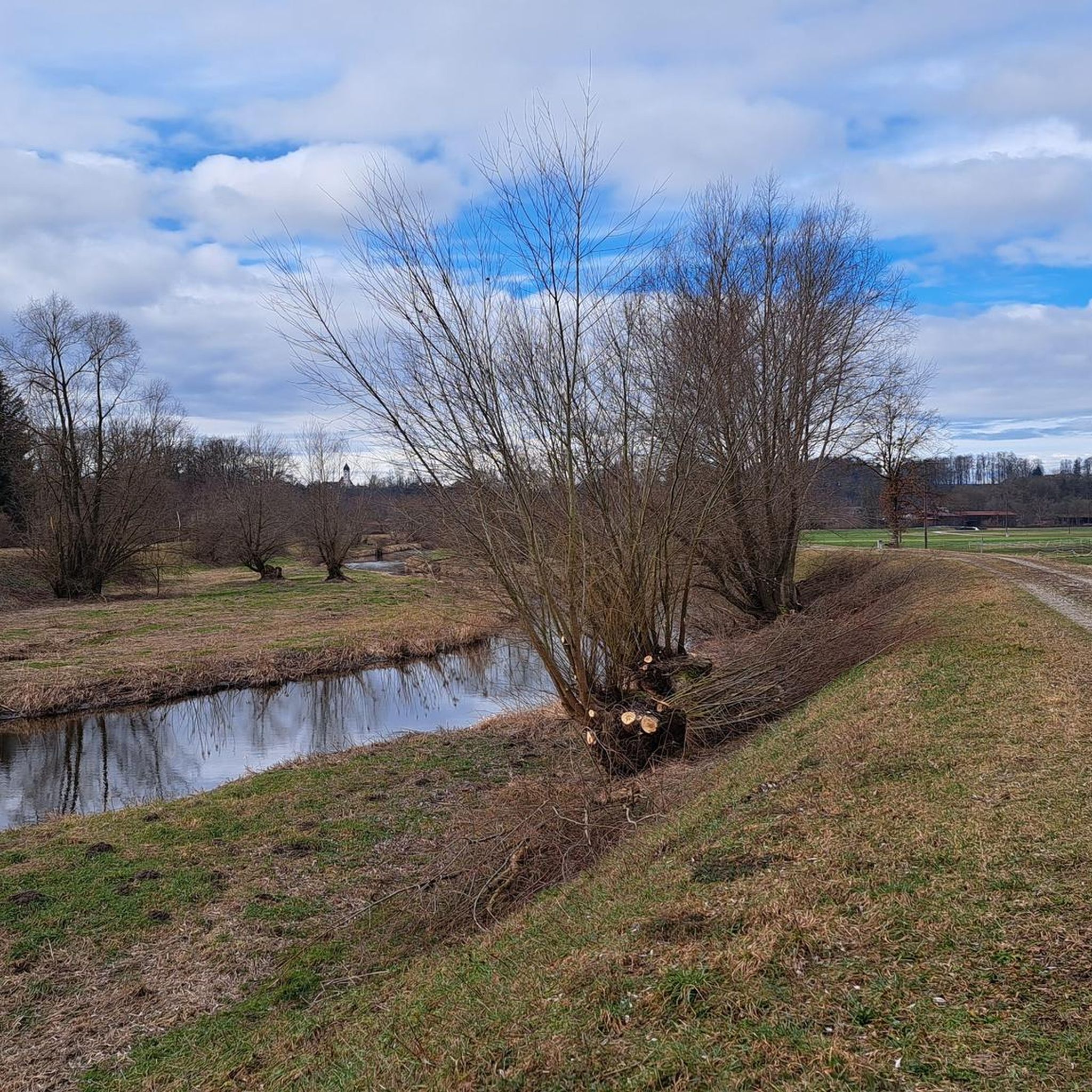
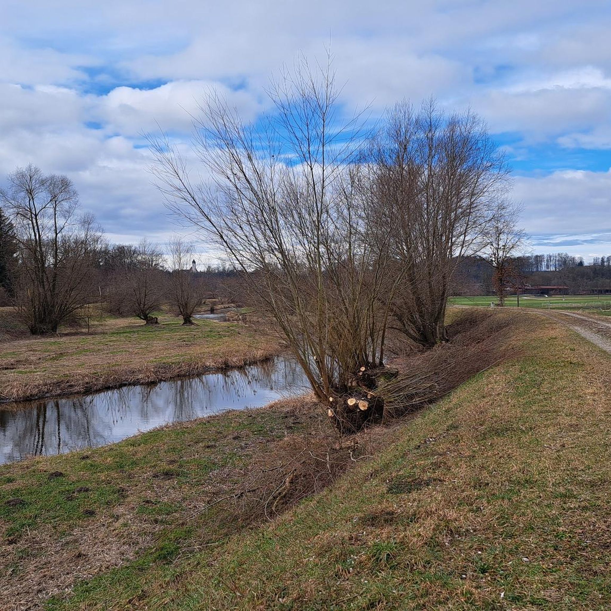
Renatured Section of the Moosach Near Ostermünchen
Highlight • River
Translated by Google •
Tip by

Murner Filz Nature Reserve
Highlight • Natural
Translated by Google •
Tip by

Sign up for free to discover even more natural monuments around Ramerberg.
Already have an account?
Start today with a free account
Your next adventure awaits.

Tips from the Community

Unfortunately, entering the hut is no longer permitted due to the danger of collapse.
1
0


An ideal circular route along the Inn River. A classic walk.
0
0
The GPS has failed me. Better pay attention to the signposts. I have
0
0

You can go into the hut and have a good snack.
0
0

The geographical coordinates are spherical coordinates that can be used to describe the position of a point on the earth's surface. The geographical latitude is measured from the equator to the north (0° to 90° north at the North Pole) and south (0° to 90° south at the South Pole), the geographical longitude from the prime meridian from 0° to 180° to the east and from 0° to 180° to the west. Parallels of latitude (lines of constant latitude) run parallel to the equator, longitudes (lines of constant longitude) through the North and South Pole. Source and further information https://de.m.wikipedia.org/wiki/Geographische_Koordinaten
1
0
Beautiful hiking trail along the sculpture trail with beautiful views
1
0

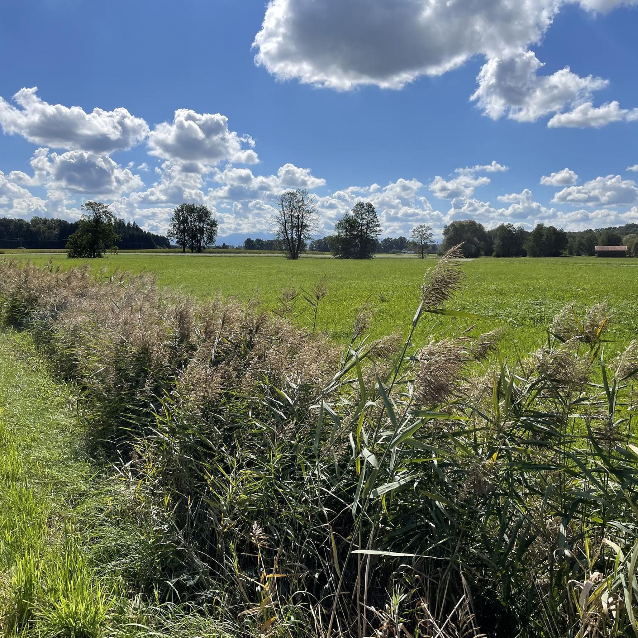
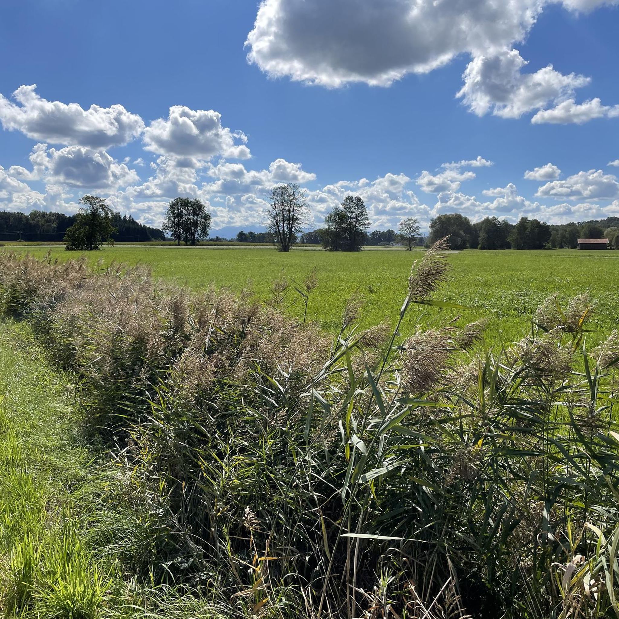
The “The Degree Confluence Project” is an English-language website on which you can upload photos from very specific points on earth, the intersections of longitude and latitude. The aim is to document all intersections on earth with photos and upload them to the project website. Points that have already been visited can also be visited again and photographed to show possible changes. By the way, the site has been around for over 20 years, it was started in 1996 by Alex Jarrett from the USA. A point of confluence is the place where a line of longitude and a line of latitude intersect. There are about 64,000 such intersections on Earth. Of course, most of these points are in the sea, since the earth has more sea area than land area. All points in the sea are called “secondary points of confluence”. And because the intersections of longitude and latitude are naturally quite clustered near the poles, some intersections on land are also considered only secondary points. From the 49th parallel it hits every third point. Further points from the evaluation of the primary confluence points fall even closer to the poles. But there are still about 12,000 points left, all of which want to be visited and photographed. In Germany there are 32 primary and 15 secondary confluence points. One of these points is in the district of Ebersberg, something "Out of Aßling". Here the 48 degrees north latitude and the 12 degrees east longitude meet. We visited this point and took a photo. And since only from the 49th degree of latitude points are no longer counted as primary, the point at Aßling is a real primary point of confluence. Which is also beautifully situated.
3
0
Frequently Asked Questions
What kind of natural attractions can I expect to find around Ramerberg?
The Ramerberg region offers a diverse natural landscape characterized by rolling hills, green meadows, and picturesque views of the Alpine panorama. You'll find river landscapes, tranquil lakes, and protected nature reserves. The area is ideal for experiencing local flora and fauna through various outdoor activities.
What are some of the most popular natural monuments to visit near Ramerberg?
Among the most appreciated natural monuments are the Steep Banks of the Inn River, known for impressive slopes and scenic hiking trails. Another favorite is Zillhamer Lake, an idyllic spot in the Langen Moos with abundant nature. Visitors also enjoy the Murner Filz Nature Reserve, a wild moor offering a unique natural experience.
Are there hiking trails near the natural monuments around Ramerberg?
Yes, the region is well-suited for hiking. For instance, a beautiful hiking trail runs directly along the Inn River, offering views of the Steep Banks of the Inn River. The Murner Filz Nature Reserve also features paths through its wild moorland. For more hiking options, you can explore various running trails around Ramerberg, which often double as scenic walking routes.
What can I expect when visiting Zillhamer Lake?
Zillhamer Lake is idyllically situated in the Langen Moos and is known for its abundant nature, including fish and dragonflies. The Zillhamer Achen traverses the lake, adding to its charm. There's an observation deck on the northeastern shore, though access to the hut itself is no longer permitted due to safety concerns.
What is the Murner Filz Nature Reserve like?
The Murner Filz Nature Reserve is a small, wild moor left to its own devices, offering a unique natural experience. It's recommended to wear waterproof shoes with a good profile, as sections can be bumpy or slippery. Despite this, it provides a fantastic opportunity to experience a bog environment, often with paths made of wooden planks.
Are the natural monuments around Ramerberg family-friendly?
Many natural attractions in the Ramerberg area are suitable for families. Zillhamer Lake and the Renatured Section of the Moosach Near Ostermünchen are noted as family-friendly. The general landscape with its meadows and gentle hills also provides a pleasant environment for family outings.
What other outdoor activities are available near Ramerberg's natural monuments?
Beyond hiking, the Ramerberg area is excellent for cycling. You can find numerous MTB trails and road cycling routes that allow you to explore the scenic landscapes, including routes that pass by lakes and offer views of the Alps.
Can I see wildlife at the natural monuments in Ramerberg?
Yes, areas like Zillhamer Lake are known for abundant nature, including fish and dragonflies. The Murner Filz Nature Reserve, as a wild moor, also supports diverse plant and animal life typical of such ecosystems, making it a good spot for nature observation.
What is the Renatured Section of the Moosach Near Ostermünchen?
The Renatured Section of the Moosach Near Ostermünchen is a small natural paradise created by ecologically redesigning a previously straightened section of the Moosach river. It's a pleasant area for hikers and cyclists, offering a glimpse into a restored natural river environment.
What is the best time to visit the natural monuments around Ramerberg?
The natural monuments around Ramerberg are enjoyable throughout the warmer months, from spring to autumn, when the weather is ideal for hiking, cycling, and general outdoor exploration. Spring brings blooming flora, while autumn offers beautiful fall colors. Even in winter, some trails might be accessible for serene walks, but conditions can vary.
Is parking available at the natural monuments around Ramerberg?
While specific parking details for each individual natural monument are not always provided, the Ramerberg region, being popular for outdoor activities, generally offers parking options near trailheads and popular natural sites. It's advisable to check local signage or maps for designated parking areas when planning your visit.
What is the Confluence Point N48° E12°?
The Confluence Point N48° E12° marks the intersection of the 48th degree of latitude and the 12th degree of longitude. These geographical coordinate points are not rare but offer a unique, abstract natural monument. This specific point is located north of Aßling on a cycle path towards Grafing and is also near the Attel river.
Most popular routes around Ramerberg
Most popular attractions around Ramerberg

Get inspired with the komoot mobile app


Explore more
Extend your search for the best caves by checking out these guides of the top ones around Ramerberg:
