Top 20 Natural Monuments around Weißenfels
Natural monuments around Weißenfels are found in a region characterized by its natural beauty and historical significance. The city is situated in Saxony-Anhalt, Germany, within the scenic Saale River valley. Key natural features include the protected Klemmberg-Park, known for its oak-hornbeam forest and diverse tree species. The area also encompasses parts of the Saale-Unstrut wine region, adding to its scenic value.
Best natural monuments around Weißenfels
- The most popular natural monuments is Ducal Vineyard below Neuenburg Castle, a natural…
Last updated: September 1, 2026
Ducal Vineyard below Neuenburg Castle
Highlight • Structure
High above the wine-growing town of Freyburg lies Neuenburg, the sister castle of Wartburg, founded around 1090 by the Thuringian Count Ludwig the Springer. The first mighty …
Translated by Google •
Tip by

Confluence of the Saale and Unstrut Rivers
Highlight • River
Translated by Google •
Tip by

Sign up now to discover places like this
Get recommendations on the best single tracks, peaks, & plenty of other exciting outdoor places.
Sign up for free
Stone picture book Großjena
Highlight • Monument
Translated by Google •
Tip by

Konik horses in the Tote Täler Nature Reserve
Highlight • Natural
Translated by Google •
Tip by

Saale Rapids at Almrich
Highlight • River
Translated by Google •
Tip by
Sign up for free to discover even more natural monuments around Weißenfels.
Sign up for free
Already have an account?
Start today with a free account
Your next adventure awaits.
Login or Signup
Popular around Weißenfels
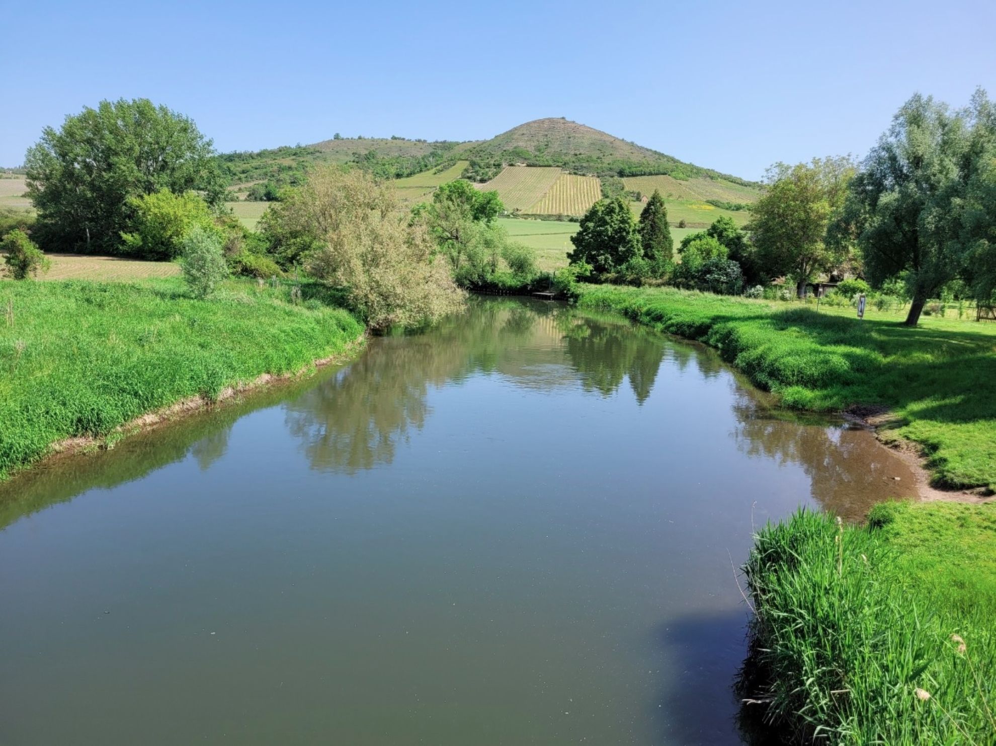
Weekend bike ride on Germany’s Saale and Unstrut cycle path
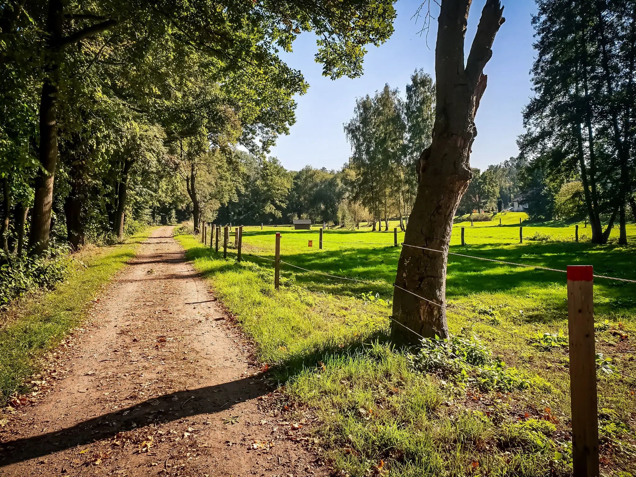
Out and about with the pram – hiking around Leipzig
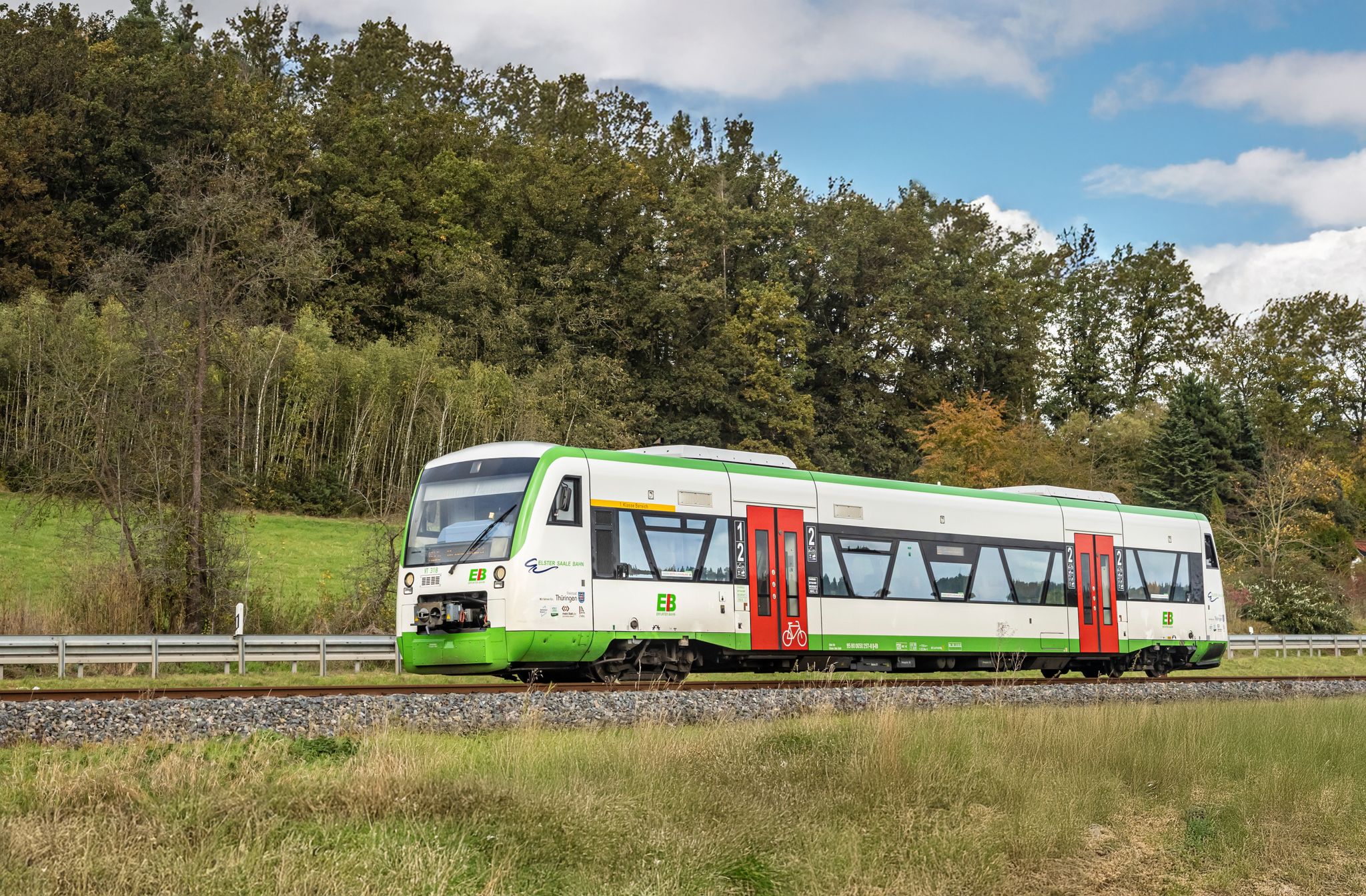
Zwischen Elster und Saale – Mit der RB 76 zu deiner Wanderung
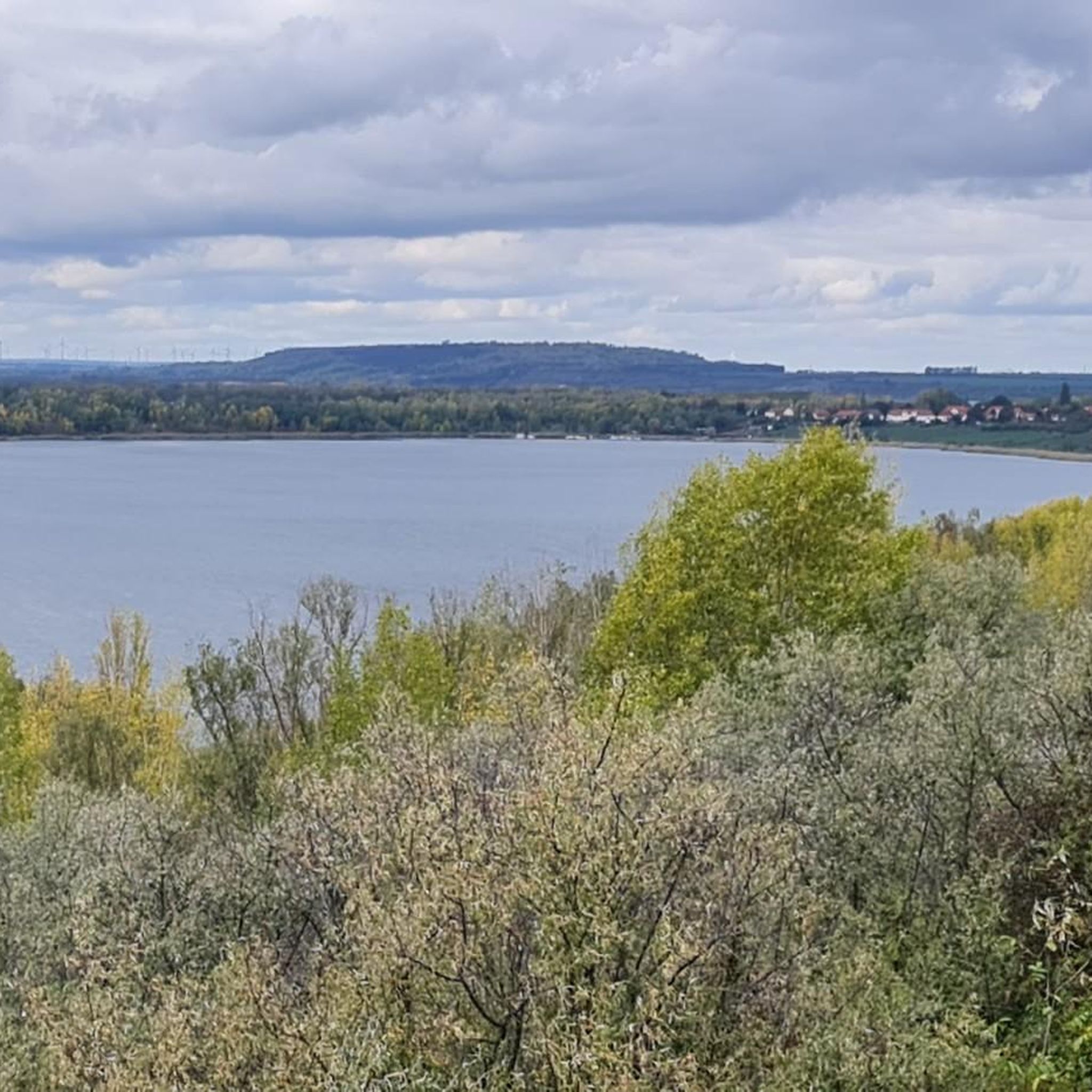
Cycling around Weißenfels
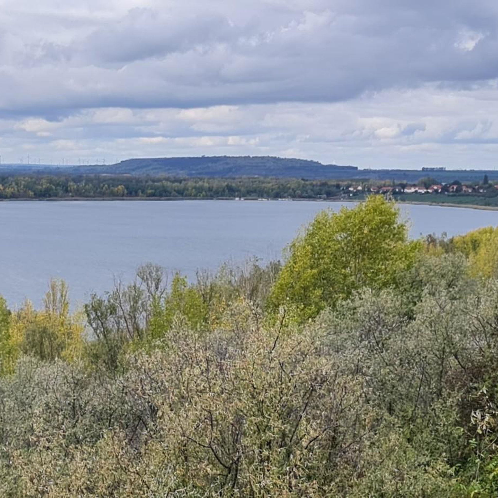
Hiking around Weißenfels
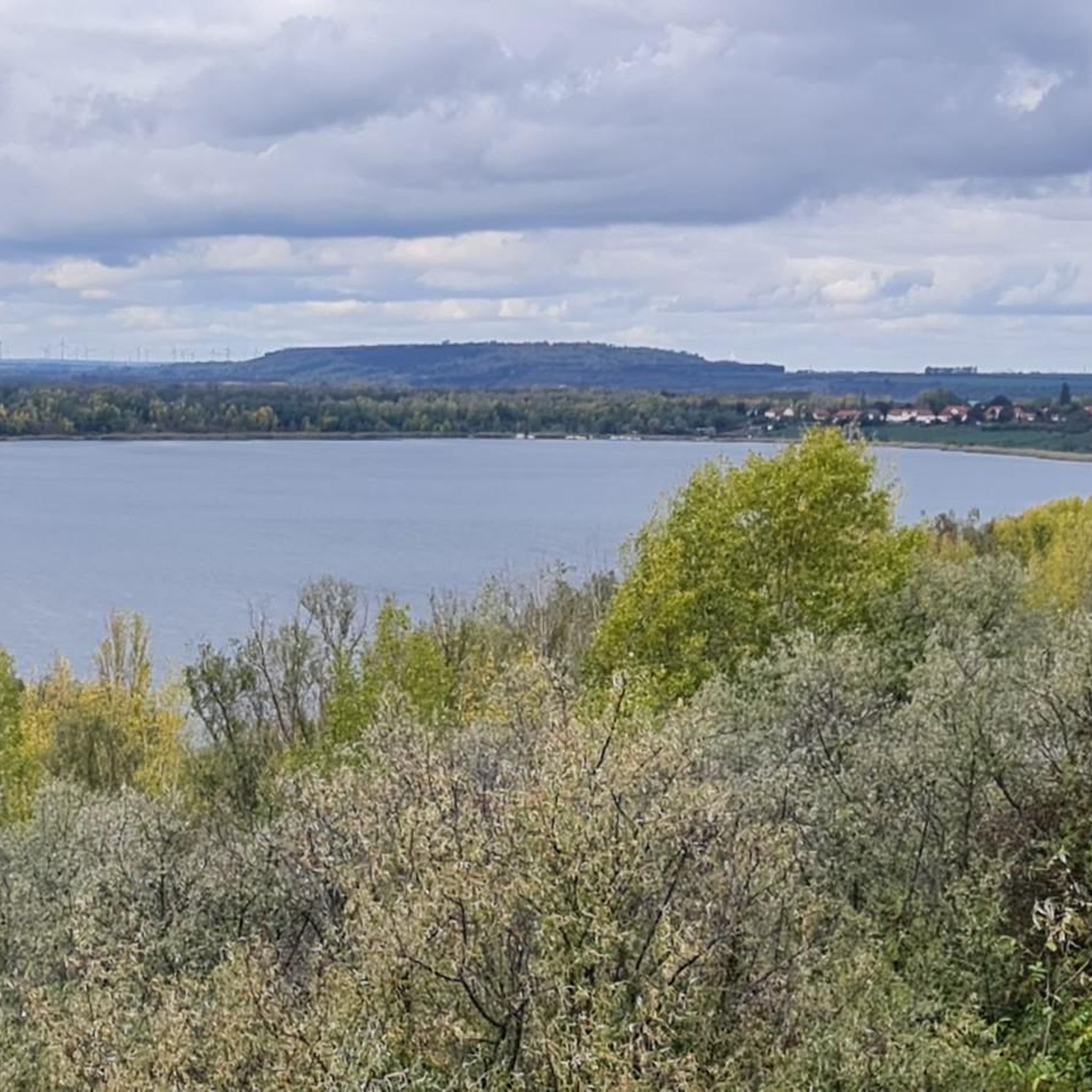
Road Cycling Routes around Weißenfels
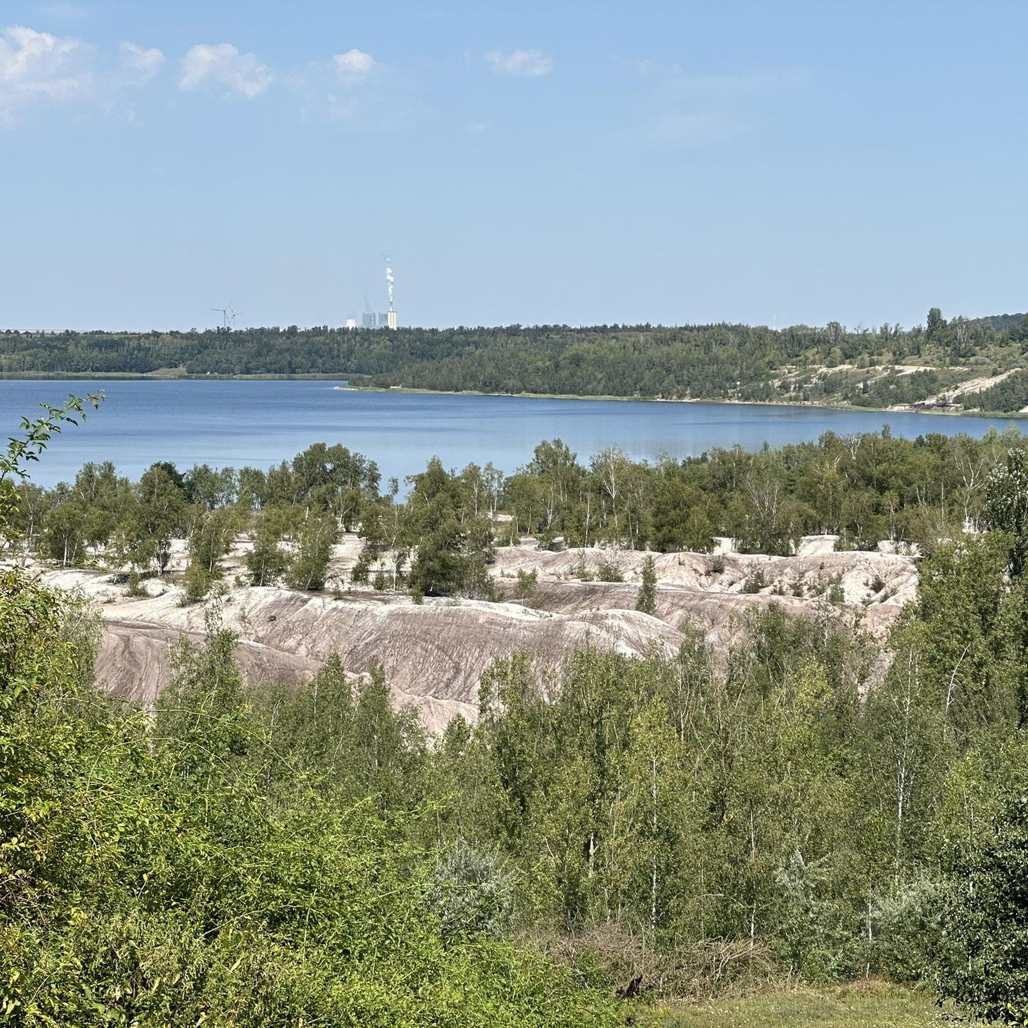
Running Trails around Weißenfels
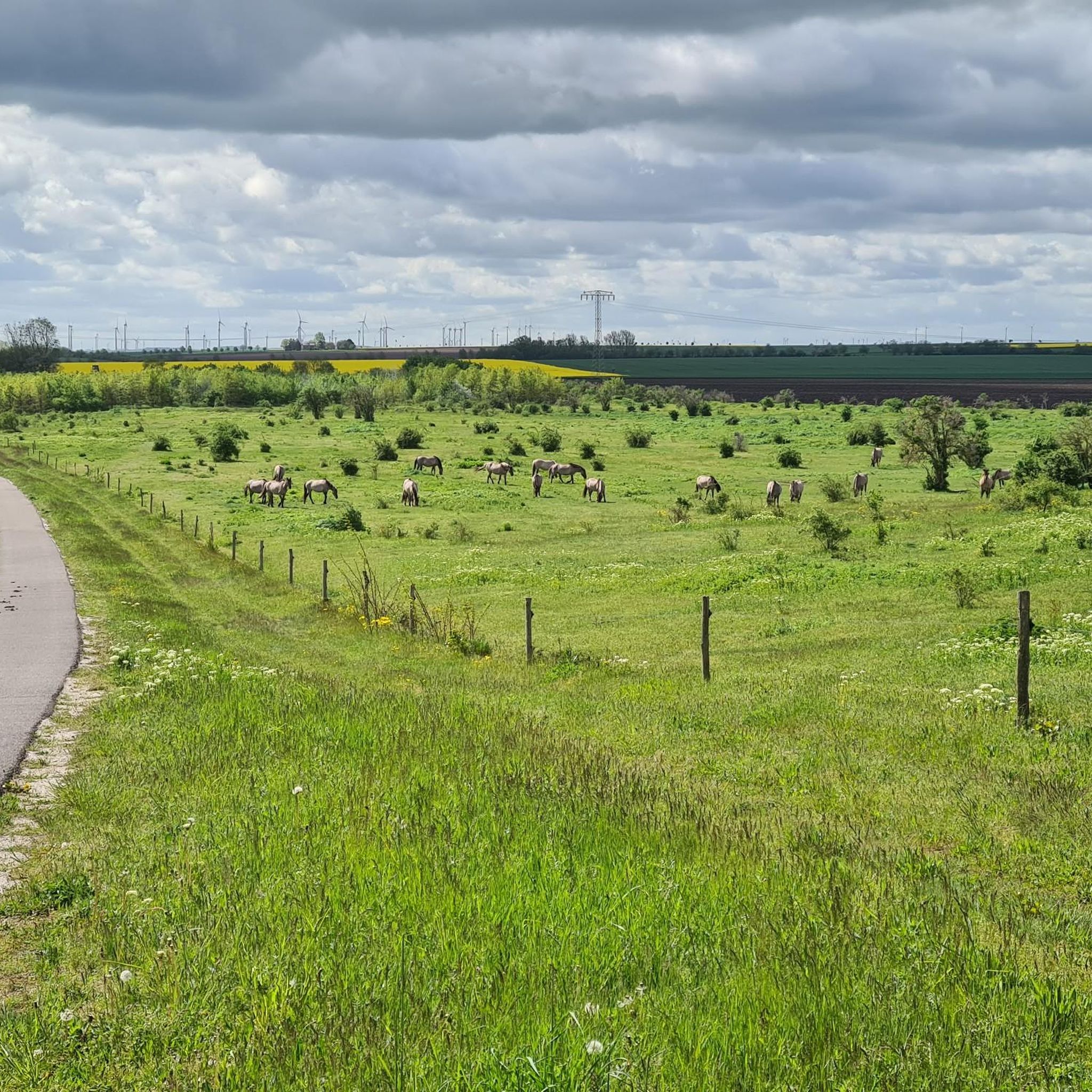
MTB Trails around Weißenfels

Gravel biking around Weißenfels
Other adventures around Weißenfels


Tips from the Community

Museum & Exhibitions High above the wine-growing town of Freyburg lies Neuenburg, the sister castle of Wartburg, founded around 1090 by the Thuringian Count Ludwig the Springer. The first mighty complex was built by 1150. The rise of the Landgraves of Thuringia was accompanied by further magnificent expansion. By 1230, Neuenburg was already around three times as large as Wartburg! The Romanesque double chapel built around 1170/75 is still an architectural gem today. On behalf of Hermann I, Heinrich von Veldeke completed the Eneasroman around 1185, the first Middle High German knightly-courtly verse epic ever. Neuenburg experienced the end of its high medieval heyday under Landgrave Ludwig IV and his wife, Saint Elisabeth.
13
0

The Koniks make the shell limestone plateau, which is already worth seeing, a highlight. When we were here in March 2024, we saw 12 ponies that were anything but shy - at the same time, there were more people than horses here that Sunday. Important: the ponies must not be fed!
2
0

The Luther Trail now also leads this way: https://www.mdr.de/nachrichten/sachsen-anhalt/halle/burgenland/pilgern-lutherweg- Extension-tourismus-eisleben-naumburg-100.html https://www.lutherweg.de/news/lutherweg-sachsen-anhalt-erhaelt-sued Extension.html https://www.outdooractive.com/de/route/wandel/saale-unstrut/lutherweg-eisleben-querfurt-freyburg-naumburg/260620375/#dm=1
4
1
UNSTRUT Source near Kefferhausen in Eichsfeld (400m); Length 192 km; Estuary Großjena near Naumburg into the Saale The Unstrut rises west of Kefferhausen near Dingelstädt in northern Thuringia in southern Eichsfeld. In the Sachsenburg or Thuringian Gate it breaks through the Hainleite. In its lower reaches it flows in numerous loops through the Burgenland district in southern Saxony-Anhalt; below Memleben it is initially flanked by the Ziegelroda Plateau, near Laucha by the Dorndorf Plateau, near Freyburg by the limestone-rich Silent Mountains and flows into the Großjenaer Blumengrund near Naumburg Saale. SAALE Source near Zell in the Fichtelgebirge (728m); Length 413 km; Estuary near Barby into the Elbe The Saale rises in the Fichtelgebirge in Upper Franconia between Zell and Weißenstadt. The upper reaches of the Saale between Zell and Hof are quite leisurely. The river then runs straight through the Thuringian Slate Mountains. The Saale is dammed several times here. The area of the middle Saale begins with the river exiting the Thuringian Slate Mountains and entering the Triassic plate and hill country. After leaving the Saale-Unstrut-Triasland Nature Park near Naumburg, the lower reaches of the river begin. This runs in a flat landscape to the mouth of the Elbe near Barby. Source: http://www.reportagereisen.de/unstrut_01.html
11
0

Nice spot on earth.. to relax...😉
6
0

On the other side of the Wasserschlösschen also very interesting and a place with plenty of fish
12
1
The 192 km long Unstrt flows into the 412 km long Saale near Naumburg.
13
0

Wonderful to sit here at the bar and look at the castle and the vineyard. The wine is delicious.
4
0
Frequently Asked Questions
What are some unique natural features to explore around Weißenfels?
The region offers a blend of natural beauty and geological interest. You can explore the Rödel Plateau in the Tote Täler Nature Reserve, known for its beautiful dry grassland landscape and diverse insects and wild plants. The Confluence of the Saale and Unstrut Rivers is another significant natural junction where two rivers meet, offering scenic views and opportunities for cycling. Additionally, the Klemmberg-Park, a protected landscape component, features a steep bunter sandstone slope with an oak-hornbeam forest and diverse tree species.
Are there family-friendly natural monuments in the Weißenfels area?
Yes, several natural monuments are suitable for families. The Confluence of the Saale and Unstrut Rivers is a great spot for a scenic outing, often combined with cycling. The Konik horses in the Tote Täler Nature Reserve offer a unique wildlife viewing experience that children often enjoy, with information boards available. Klemmberg-Park also provides cultivated parkland and natural forest for relaxed family walks.
What kind of outdoor activities can I do near these natural monuments?
The natural monuments around Weißenfels are excellent starting points for various outdoor activities. You can enjoy hiking along the Saale River valley, with options ranging from easy to moderate. Cycling is also popular, especially along the Saale cycle path near the Confluence of the Saale and Unstrut Rivers. For more detailed route suggestions, you can explore guides like Easy hikes around Weißenfels or Hiking around Weißenfels, and for cyclists, Road Cycling Routes around Weißenfels.
Are there hiking trails near the natural monuments in Weißenfels?
Absolutely. The region offers numerous hiking opportunities. For example, you can find trails around the Tote Täler Nature Reserve, where the Rödel Plateau and Konik horses are located. Klemmberg-Park also features paths through its cultivated parkland and natural forest. For specific routes, consider exploring the Hiking around Weißenfels guide, which includes routes like the 'Moses Spring Schönburg – Leissling Ferry Bridge loop'.
What is the best time of year to visit the natural monuments around Weißenfels?
The natural monuments around Weißenfels are beautiful year-round, but spring and autumn are particularly recommended. In spring, the dry grasslands and forests come alive with new growth and wildflowers. Autumn offers stunning foliage, especially in areas like Klemmberg-Park with its diverse tree species, and the Saale-Unstrut wine region is vibrant during harvest season. Summer is also pleasant for outdoor activities, while winter walks can offer a serene experience.
Are there any natural monuments with historical significance?
Yes, the region beautifully blends natural and historical elements. The Ducal Vineyard below Neuenburg Castle is a prime example, combining a natural monument and viewpoint with the historical architecture of Neuenburg Castle. Klemmberg-Park also features historical elements such as the Bismarck Tower, the Schillerstein (a glacial erratic dedicated to Friedrich Schiller), and the Feldherrenbank.
Can I bring my dog to the natural monuments around Weißenfels?
Many natural areas and trails around Weißenfels are dog-friendly, especially for hiking. Klemmberg-Park and the trails along the Saale River valley are generally suitable for walks with dogs. However, always keep your dog on a leash, especially in nature reserves like the Tote Täler, to protect wildlife such as the Konik horses and other ground-nesting birds. Look for local signage regarding specific rules.
Are there parking options available near the natural monuments?
Parking is generally available near the main natural monuments and popular starting points for trails. For Klemmberg-Park, there are usually designated parking areas within or near the city center of Weißenfels. For other sites like the Confluence of the Saale and Unstrut Rivers, you can often find parking in nearby towns or villages. It's advisable to check specific locations for the most convenient parking.
How can I reach the natural monuments by public transport?
Weißenfels is accessible by public transport, and from there, local buses or regional trains can take you closer to some natural monuments. For example, Klemmberg-Park is within walking distance of the city center. For areas further afield, like the Saale-Unstrut valley or the Tote Täler Nature Reserve, public transport might require a combination of bus and a short walk. Planning your route with local transport providers is recommended.
What makes the Klemmberg-Park a significant natural monument?
Klemmberg-Park is recognized as a 'geschützter Landschaftsbestandteil' (protected landscape component) due to its significant natural value. It features a steep bunter sandstone slope leading down to the Saale floodplains, covered with a natural oak-hornbeam forest. The park also boasts notable tree species like red-flowering horse chestnuts, golden elms, and variegated maples, along with impressive plane tree and oak avenues. It offers a unique blend of cultivated parkland and natural forest, making it ecologically important and visually appealing.
Are there any natural monuments where I can see wildlife?
Yes, the Konik horses in the Tote Täler Nature Reserve offer a unique opportunity to observe wild horses roaming freely. The Rödel Plateau in the Tote Täler Nature Reserve is also home to numerous insects and wild plants, making it a great spot for nature observation. The Saale River valley and Klemmberg-Park also support various bird species and smaller wildlife.
Are there easy natural monuments hikes near Weißenfels?
Yes, there are several easy hiking options suitable for a relaxed experience. The paths within Klemmberg-Park are generally easy to navigate. Additionally, many sections of the Saale cycle path, particularly around the Confluence of the Saale and Unstrut Rivers, are flat and well-maintained, offering easy walks with scenic views. You can find more easy routes in the Easy hikes around Weißenfels guide.
Most popular routes around Weißenfels
Most popular attractions around Weißenfels

Get inspired with the komoot mobile app


Explore more
Extend your search for the best caves by checking out these guides of the top ones around Weißenfels:
