The best road cycling routes in Gila Wilderness
142
riders
5
rides
Road cycling in Gila Wilderness features winding paved roads through diverse landscapes within the Gila National Forest. The terrain includes significant elevation changes, traversing from high desert to Ponderosa Pine forests and open grasslands. Cyclists encounter challenging climbs and scenic routes, with roads often quiet and remote. The area is characterized by rugged environments and natural features such as the Gila River valley and various mesa formations.
Best road cycling routes in Gila Wilderness
- The most popular road cycling route…
Last updated: October 8, 2026
33
riders
97.4km
05:06
1,730m
1,730m
Hard road ride. Very good fitness required. Mostly well-paved surfaces and easy to ride.
8
riders
39.6km
02:42
930m
930m
Hard road ride. Very good fitness required. Mostly well-paved surfaces and easy to ride.

80
riders
118km
05:45
1,700m
1,700m
Hard road ride. Very good fitness required. Some segments of this route may be unpaved and difficult to ride.
11
riders
81.4km
04:41
1,740m
1,740m
Hard road ride. Very good fitness required. Mostly well-paved surfaces and easy to ride.
10
riders
147km
08:26
2,990m
2,990m
Hard road ride. Very good fitness required. Some segments of this route may be unpaved and difficult to ride.
Our route recommendations are based on thousands of hikes, rides, and runs completed by other people on komoot.
Start today with a free account
Your next adventure awaits.
Popular around Gila Wilderness
Tips from the Community

A great place to stop of for a Rest day or two, A vibrant art scene, nice pub and eateries. Two bike shops, an outdoor shop and a laundromat
0
0

This bridge takes you across the river to see the cliff dwellings on its south side. You don't need to worry about motorized vehicles or bikers here; only foot traffic is allowed in this wilderness area.
0
0

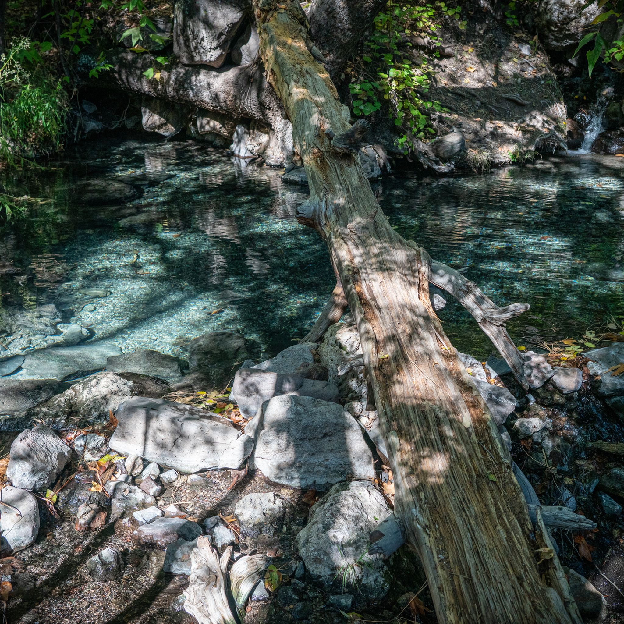
The Grapevine Campground is a free tent camping campground with vault toilets and nearby treatable water. If trying to gain access to the trail leading to Melanie Hot Springs, you have the option to either wade across the river under the bridge or to walk the pavement across the bridge.
0
0

Gila Hot Springs is a small town along the Continental Divide and Grand Enchantment Trail. You can resupply at the small store of Doc Campell's Post – very hiker friendly – or send a package there. There is also WiFi, showers and a water spigot next to it. If you like to stay overnight, you will find a developed campground next to the river. And there are of course the hot springs!
6
3

Silver City's former Main Street was washed away but the floods caused by mining erosion in the hills around the city in the 1880s, cutting an over 30 feet deep ditch several blocks through the middle of downtown, today a city park 50 feet below the city level.
1
0
Pittoresque reservoir with three campgrounds and a boat launch
0
0
Frequently Asked Questions
What kind of terrain can I expect on road cycling routes in Gila Wilderness?
Road cycling in the Gila Wilderness features winding paved roads with significant elevation changes, ranging from approximately 4,500 to 9,000 feet. You'll traverse diverse landscapes, including high desert, Ponderosa Pine forests, and open grasslands, offering challenging climbs and picturesque views.
Are there any easy or beginner-friendly road cycling routes in the Gila Wilderness?
The road cycling routes in the Gila Wilderness are generally considered challenging, with all listed routes rated as 'difficult' due to substantial elevation gains and distances. The area is best suited for experienced road cyclists seeking demanding rides.
What are some notable natural features or landmarks I might see while road cycling in the Gila Wilderness?
The Gila Wilderness offers a rugged and scenic environment. While cycling on paved roads, you might encounter views of the Gila River valley, various mesa formations, and Ponderosa Pine forests. Nearby attractions include the Middle Fork of the Gila River and the historic Mogollon Ghost Town, which can be part of a cycling loop.
Are there any circular road cycling routes available in the Gila Wilderness?
Yes, several popular routes are loops. For example, the Wild Horse Mesa – Lake Roberts and dam loop from Arrastre Interpretive Site is a 73.6-mile circular route, and the Wild Horse Mesa loop from Silver City is a challenging 89.3-mile loop.
What is the best time of year to go road cycling in the Gila Wilderness?
The Gila Wilderness experiences significant elevation changes, so weather can vary. Generally, spring and fall offer the most pleasant temperatures for road cycling, avoiding the extreme heat of summer and potential snow or ice at higher elevations in winter. Always check local weather forecasts before heading out.
Where can I find parking for road cycling routes in the Gila Wilderness?
Many road cycling routes start from towns like Silver City or designated interpretive sites. For instance, the Wild Horse Mesa – Lake Roberts and dam loop begins from the Arrastre Interpretive Site, which typically offers parking. Routes originating from Silver City, such as the Silver City, New Mexico loop from Lookout Point, would utilize parking available in or around the town.
Are there any family-friendly road cycling options in the Gila Wilderness?
The road cycling routes listed for the Gila Wilderness are all rated as 'difficult' and involve significant distances and elevation gains, making them less suitable for casual family rides. These routes are primarily designed for experienced cyclists.
Can I bring my dog on road cycling routes in the Gila National Forest?
While the Gila National Forest is generally welcoming, bicycles (and therefore dogs on bikes) are typically restricted to paved roads and specific non-wilderness trails. Bicycles are generally not permitted within the designated Gila Wilderness area itself. Always check specific trail regulations and ensure your dog is leashed and well-behaved.
What should I pack for a road cycling trip in the Gila Wilderness?
Given the challenging terrain and remote nature of many routes, it's essential to pack adequately. This includes plenty of water, nutrition, repair kits, appropriate clothing for varying temperatures (due to elevation changes), sun protection, and a first-aid kit. Cell service can be limited, so consider carrying a satellite communication device.
Are there places to eat or stay near the road cycling routes in the Gila Wilderness?
Towns like Silver City, which serves as a starting point for several routes, offer various amenities including cafes, restaurants, and accommodation options. Smaller communities like Glenwood, where the Mogollon Ghost Town loop begins, may have more limited services.
How many road cycling routes are available in the Gila Wilderness?
There are 5 road cycling routes detailed for the Gila Wilderness, all of which are rated as difficult and offer challenging rides through the region's diverse landscapes.
Most popular routes in Gila Wilderness
Most popular attractions in Gila Wilderness

Get inspired with the komoot mobile app


Explore more
Browse the best Road cycling routes in other regions.
