The 2 Most Amazing Peaks around Tawern
Best mountain peaks around Tawern are characterized by elevated viewpoints and scenic hills rather than towering summits. Located within the Saar-Hunsrück Nature Park, the region offers diverse hiking opportunities across its undulating landscape. These natural features provide panoramic vistas of the Saar Valley, vineyards, and forests. The area is known for its accessible trails and historical landmarks, making it suitable for various outdoor activities.
Best mountain peaks around Tawern
- The most popular mountain peaks is Bockstein Summit, a summit…
Last updated: July 8, 2026
Bockstein Summit
Highlight • Summit
Translated by Google •
Tip by

Hostenturm (Highest Point on the Saargau)
Highlight • Viewpoint
Translated by Google •
Tip by

Sign up now to discover places like this
Get recommendations on the best single tracks, peaks, & plenty of other exciting outdoor places.
Sign up for free
Bismarck Tower Schoden – View of the Saar Valley
Highlight • Monument
Translated by Google •
Tip by
Kruterberg (285 meters)
Highlight • Viewpoint
Translated by Google •
Tip by

View of Hosteberg and Hosteturm
Highlight • Viewpoint
Translated by Google •
Tip by

Start today with a free account
Your next adventure awaits.
Login or Signup
Tips from the Community

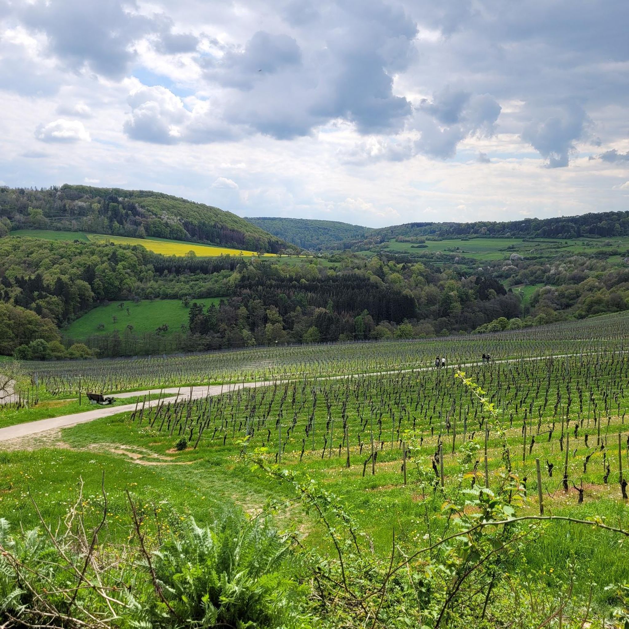
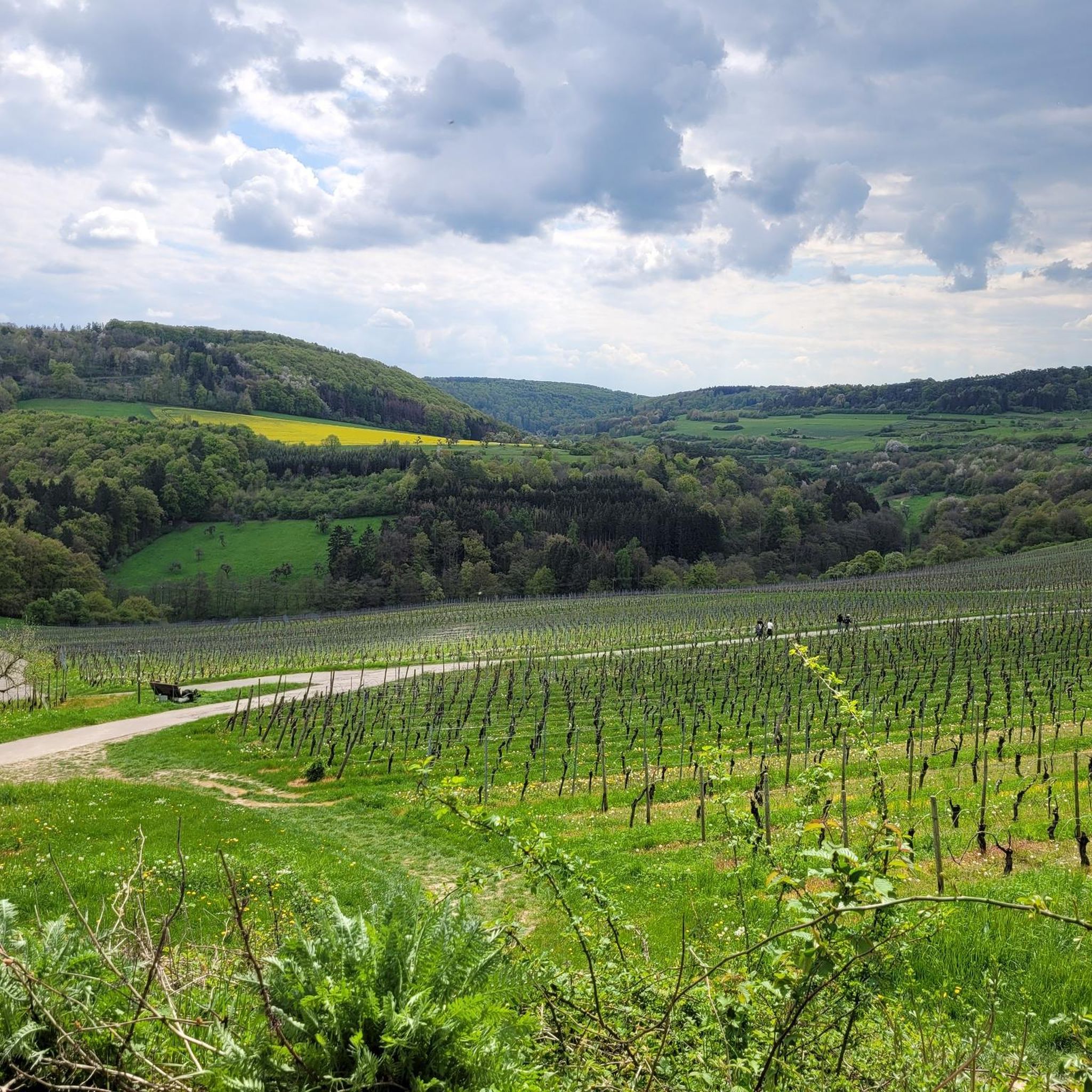
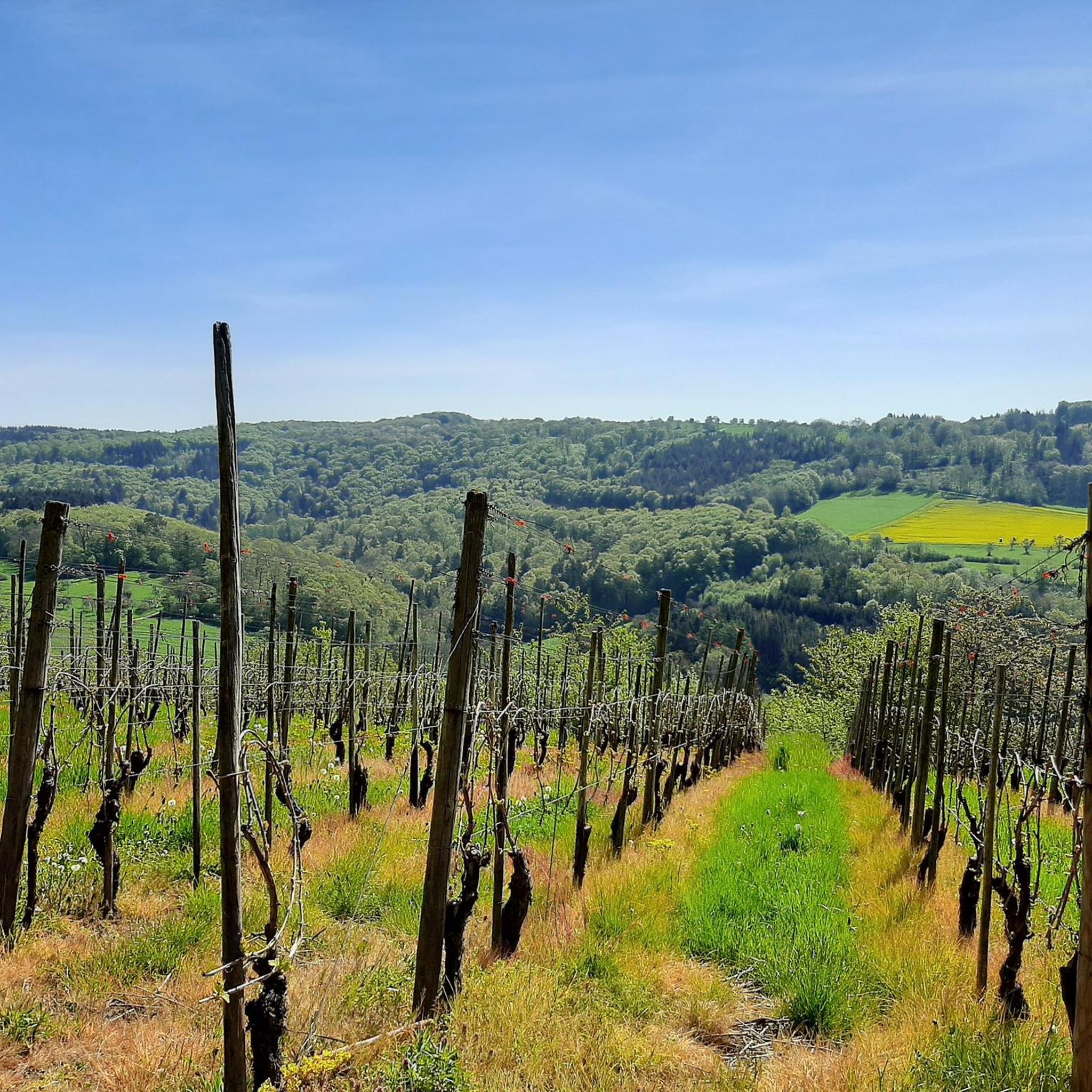
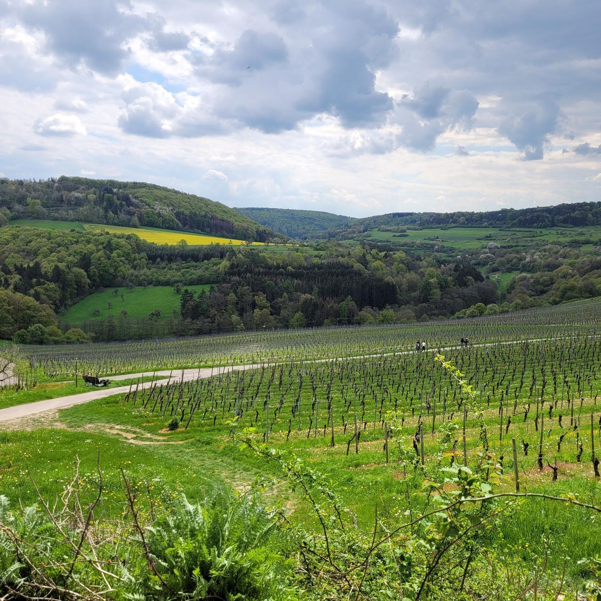
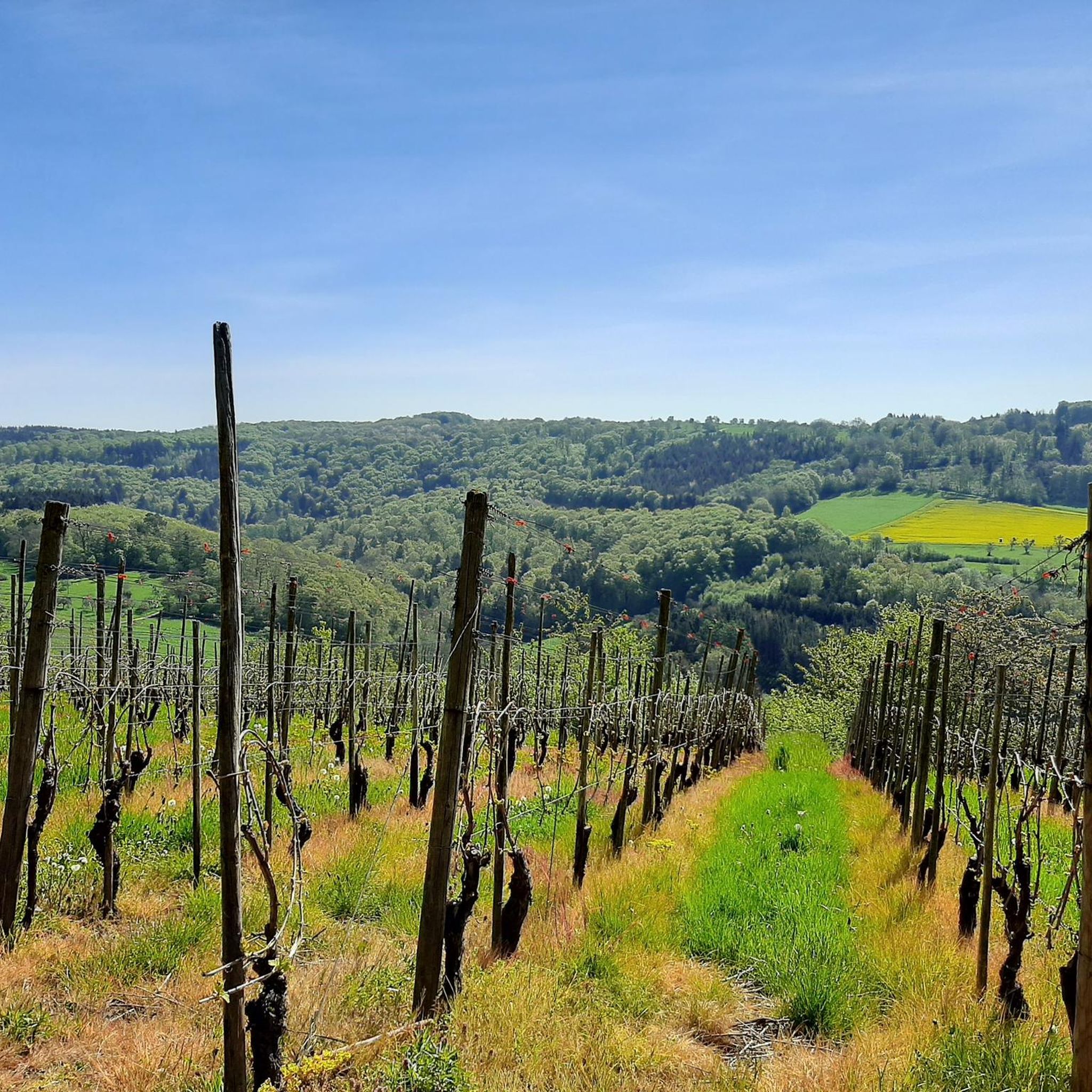
The Kruterberg is a popular viewpoint above Saarburg, offering a sweeping panoramic view of the town, the Saar Valley, and the surrounding hills. Those interested can visit the Kruterberg as part of the Saar-Leuktal-Panorama Dream Loop or other hiking trails around Saarburg—the routes lead through forests, vineyards, and open hilltops, and the Kruterberg is considered a beautiful highlight with a view.
0
0

The Bismarck Tower is located on a steep slope between Schoden and Ockfen on the Moselsteig side path Saar-Riesling-Steig. From here you can enjoy a fantastic panoramic view of the Saar Valley, Schoden, Biebelhausen and the Ayler Kupp vineyard.
1
0

Great view of the beautiful Saar Valley
0
0
A great view of the beautiful Saar Valley
0
0

Nice view. Not clear how old the tower is, of what its function was. Very nice still
1
0

The Hosteturm was built in 1911-1912 as a water tank and observation tower on the highest elevation between the Saar and Moselle at 435 mm above sea level under District Administrator Karl Brügmann. The construction sealed the end of the village well for 40 communities, because since then the tower has secured the water supply of the Saargau. Construction of the elevated tank began on June 1, 1911. It was completed and connected to the grid in December of the same year. The construction costs amounted to 1,200,000 marks. On January 13, 1912, water was pumped to ten municipalities, including Kahren and Niederleuken. 2 years later, 41 communities up to today's Saarland were supplied. The water first came from the district waterworks near Wawern, but now it comes from the Mannebach valley via a 4.5 km long delivery line. Every year, 240,000 cubic meters of water flow through the elevated tank. The tower is now the property of the Saar - Obermosel water supply.
1
0

The official 🆘️ rescue point 6305-437 🆘️ can be found directly at the Bismarck Tower. This is also where the asphalt road from Ockfen ends. There are also benches and tables available for resting.
3
0
The small Bismarck Tower is the final highlight if you walk the "Saar-Riesling-Steig" trail clockwise. Benches and tables are also available for a rest here. The official 🆘️ rescue point 6305-437 🆘️ is also located here.
5
0
Frequently Asked Questions
What kind of mountain peaks can I expect to find around Tawern?
The region around Tawern, nestled within the Saar-Hunsrück Nature Park, features elevated viewpoints and scenic hills rather than towering mountain summits. These offer diverse hiking opportunities and panoramic vistas of the Saar Valley, vineyards, and forests.
What are some of the most popular elevated points or viewpoints near Tawern?
Among the most popular spots are the Bockstein Summit, known for its beautiful trails and photo opportunities, and the Hostenturm (Highest Point on the Saargau), which is an observation tower with expansive views. Another favorite is the Bismarck Tower Schoden – View of the Saar Valley, offering fantastic views of the Saar Valley.
Are there any historical landmarks among the peaks or viewpoints?
Yes, the Hostenturm is a significant historical site, built in 1911/12 as both an observation tower and a water supply facility. It's located on the 435-meter-high Hosteberg and is listed in the Trier-Saarburg district register of monuments. The Bismarck Tower Schoden is also a man-made monument with historical significance, offering great views.
What natural features can I observe from these elevated points?
From various viewpoints like the Kruterberg, you can enjoy sweeping panoramic views of the Saar Valley, including the town of Saarburg, vineyards, and surrounding hills. The region is characterized by forests and open hilltops, providing a scenic backdrop for your outdoor activities.
Are there family-friendly options for exploring the peaks around Tawern?
Many of the trails leading to these viewpoints are accessible and suitable for families. For instance, the area around the Bismarck Tower Schoden offers benches and tables, making it a comfortable spot for a family rest. The overall landscape of hills and well-maintained paths in the Saar-Hunsrück Nature Park is generally welcoming for families.
What is the highest point in the immediate vicinity of Tawern?
The highest elevation between the Leuk and Moselle rivers is the Hosteberg, at 435 meters high, where the Hostenturm is located. This point offers extensive panoramic views of the landscape.
What outdoor activities can I do near these mountain peaks?
The region around Tawern is excellent for various outdoor activities. You can find numerous routes for hiking, running, and cycling. For example, there are several hiking routes like the 'Roman Temple District Tawern – Talbach Hut loop' or 'Elli and Rosi's Little Snack Stop – Elli and Rosi's Wine Stop loop'. You can explore more options on the Hiking around Tawern guide, Running Trails around Tawern guide, and Cycling around Tawern guide.
Are there specific hiking trails that incorporate these viewpoints?
Yes, for example, the Bockstein Summit is considered the most beautiful section of the Saar-Riesling-Steige. The Kruterberg is a highlight of the Saar-Leuktal-Panorama Dream Loop and other hiking trails around Saarburg, leading through forests, vineyards, and open hilltops.
What do visitors particularly enjoy about the mountain peaks around Tawern?
Visitors appreciate the combination of natural beauty and historical significance. The panoramic views from spots like the Bismarck Tower Schoden and the Hostenturm are highly rated, as are the well-maintained trails that offer excellent photo opportunities and a chance to enjoy the peace and quiet of the landscape.
Are there any permits required for hiking or visiting these elevated areas?
Generally, no special permits are required for hiking or visiting the public viewpoints and trails around Tawern. The Saar-Hunsrück Nature Park is openly accessible for recreational activities.
What is the best time of year to visit the peaks and viewpoints near Tawern?
The region is beautiful year-round, but spring and autumn offer particularly pleasant hiking conditions with mild temperatures and vibrant colors in the vineyards and forests. Summer provides lush greenery, while winter can offer serene, snow-dusted landscapes, though some trails might be more challenging.
Most popular attractions around Tawern

Get inspired with the komoot mobile app


Explore more
See even more amazing summits around Tawern with these guides:
