The best running trails around Büsserach
4.4
(144)
2,746
runners
11
runs
Jogging around Büsserach offers a diverse range of terrains, including hills, valleys, forests, and meadows, catering to various fitness levels. The region is characterized by varied elevations, from gentle valley paths to more demanding ascents. Runners can explore verdant forests and open meadows, providing a natural setting for outdoor activity. This landscape composition ensures a versatile experience for those seeking running routes in Büsserach.
Best jogging routes around Büsserach
- The most popular jogging route is Small Chapel by the Wayside…
Last updated: October 9, 2026
4.0
(1)
25
runners
7.11km
00:45
50m
60m
Moderate run. Good fitness required. Mostly paved surfaces. Suitable for all skill levels.
8
runners
10.5km
01:07
130m
130m
Moderate run. Good fitness required. Mostly paved surfaces. Suitable for all skill levels.

8
runners
12.2km
01:29
410m
410m
Hard run. Very good fitness required. Mostly paved surfaces. Suitable for all skill levels.
7
runners
5.68km
00:40
150m
150m
Moderate run. Good fitness required. Mostly paved surfaces. Suitable for all skill levels.
4
runners
Hard run. Very good fitness required. Mostly paved surfaces. Suitable for all skill levels.
Get access to more routes and recommendations from other explorers.
Already have an account?
Our route recommendations are based on thousands of hikes, rides, and runs completed by other people on komoot.
Start today with a free account
Your next adventure awaits.

Tips from the Community

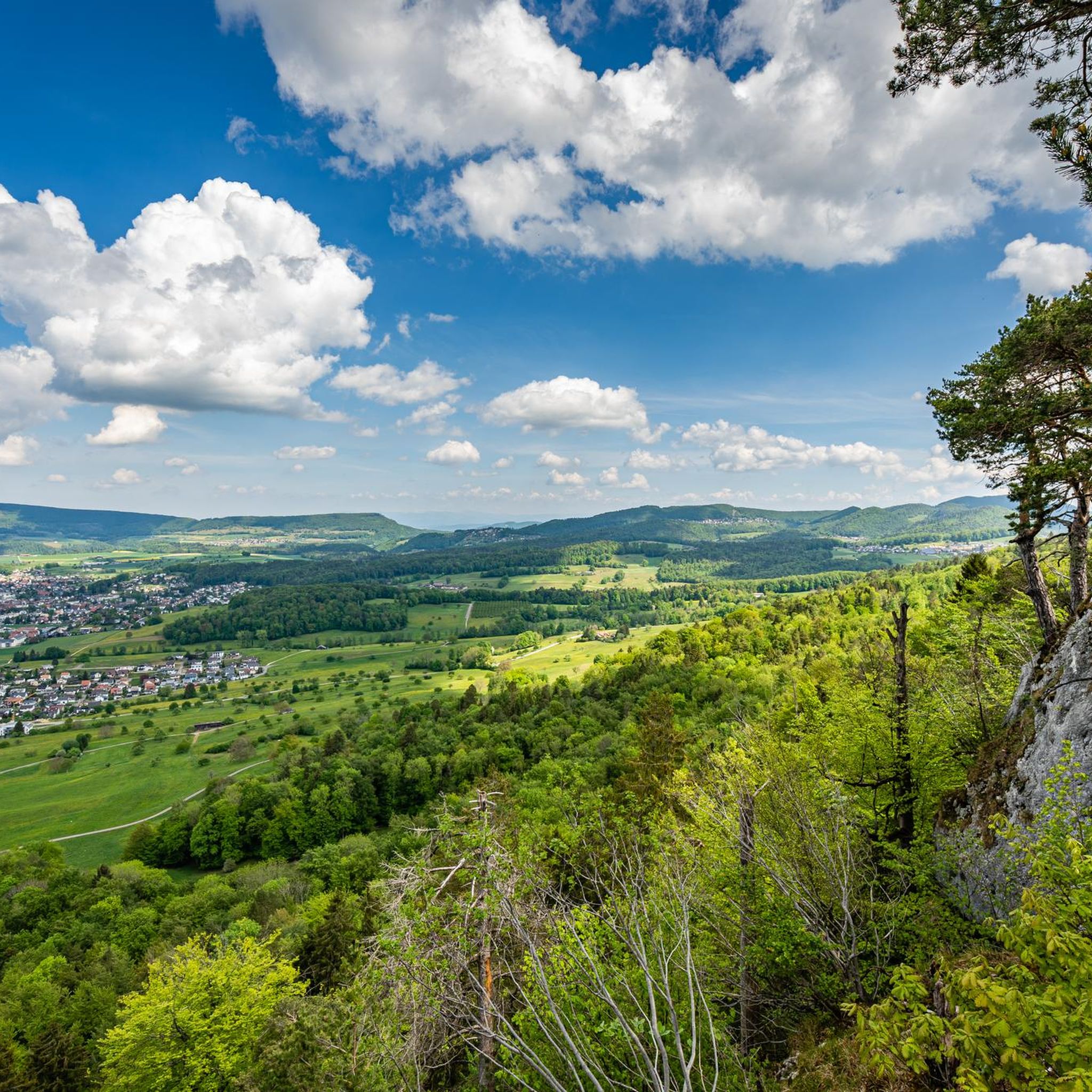
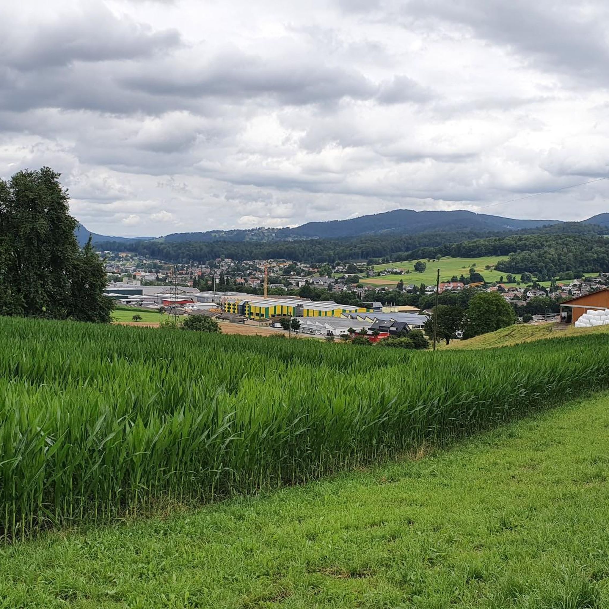
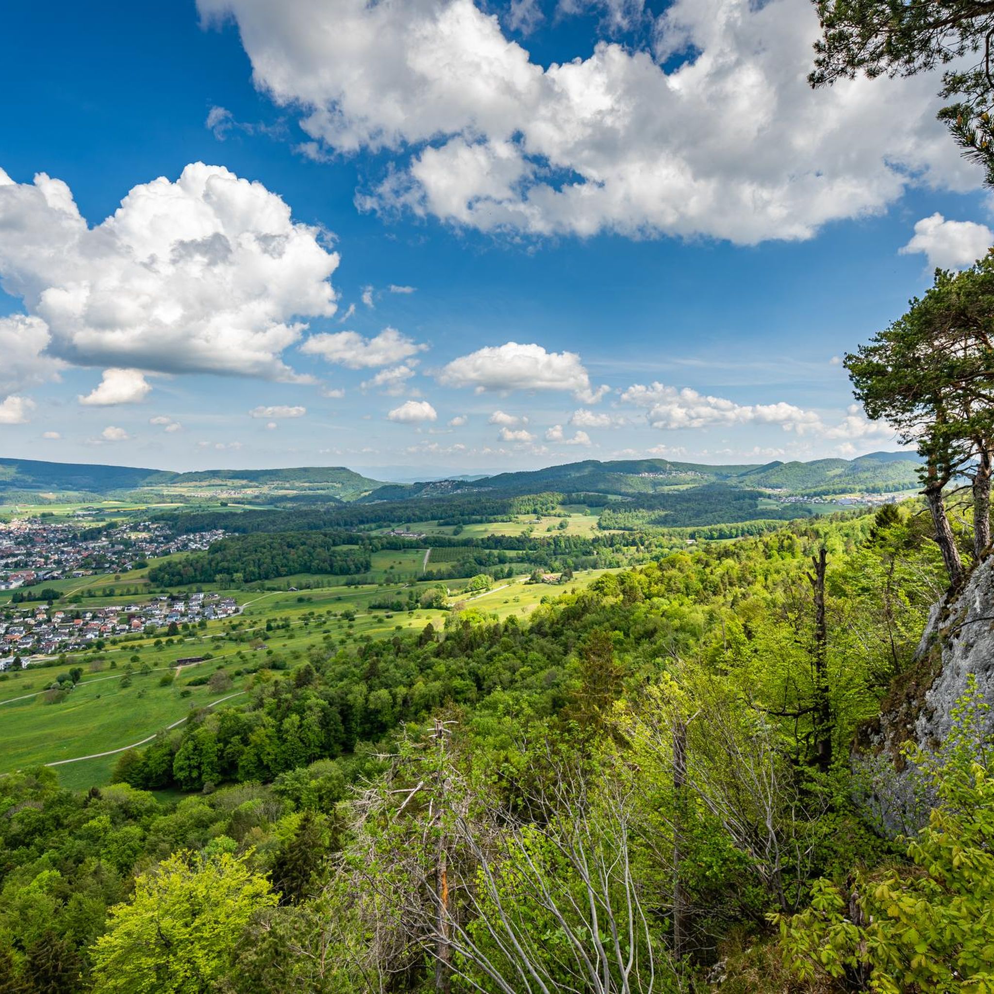
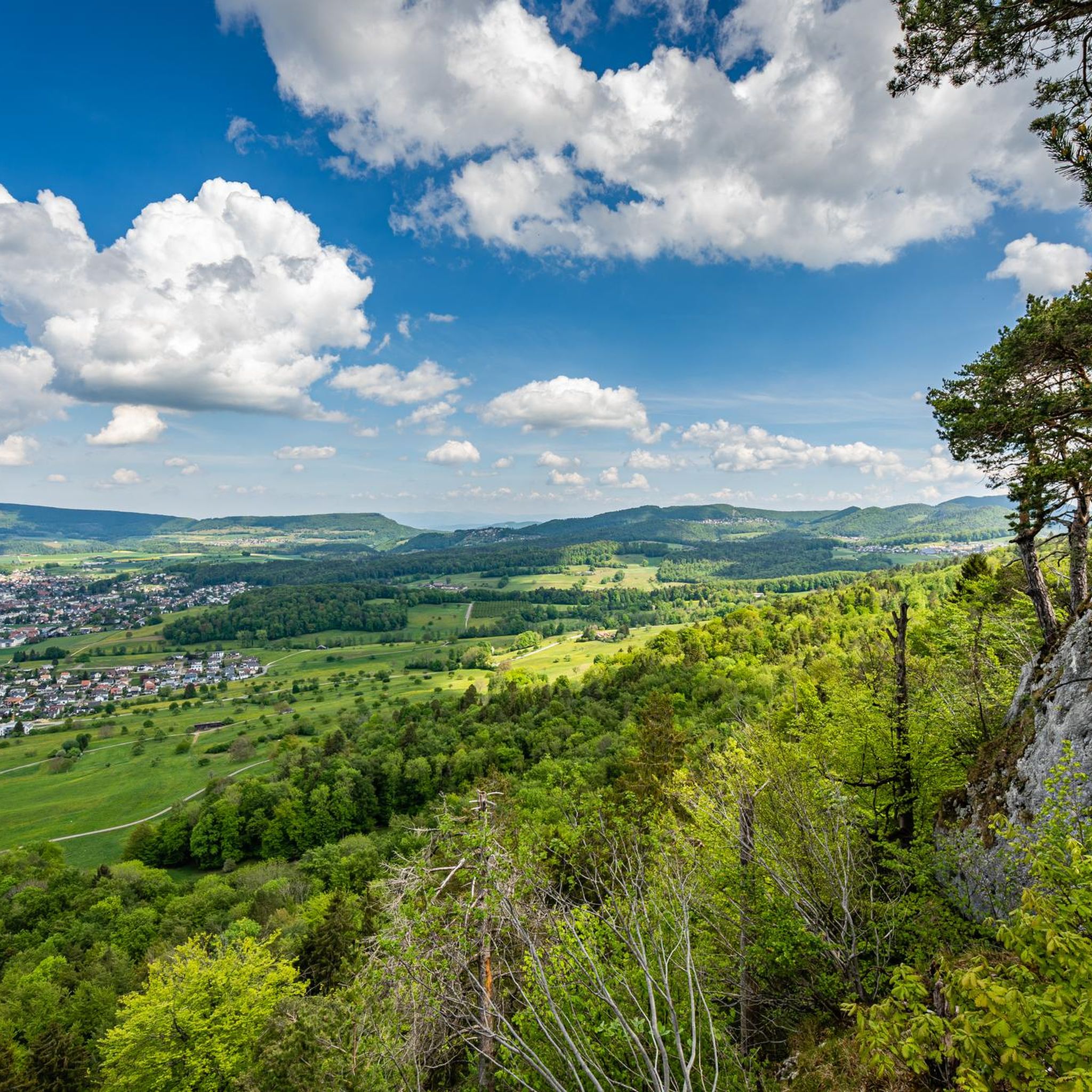
The Welschgätterli is a mountain pass between Montsevelier in the canton of Jura and Erschwil in the canton of Solothurn. Its summit is at an altitude of 810 meters above sea level, directly on the border between the two cantons. A yellow-marked hiking trail leads over the pass, connecting the two villages. You can also hike past the Welschgätterli on the Chemin du Val Terbi, which takes you on a circular route over the heights around Montsevelier. From the summit of the pass, the hike to Montsevelier takes about half an hour and to Erschwil around 40 minutes.
5
0

Welschgätterli, a "to-do" in the region! 😍
1
0


The weather was very nice and very warm on both sides...😉
0
0

Transition from the canton of Jura to Baselland
0
0
Beautiful ascent via bike route 2 to the Welschgätterli
1
0

Beautiful region, the section can also be ridden well with the gravel bike. https://www.youtube.com/watch?v=nUBeHGBZF6k
1
0

Frequently Asked Questions
How many running routes are available in Büsserach?
There are over 10 dedicated running routes around Büsserach listed on komoot, offering a variety of terrains and distances for all levels of runners.
What kind of terrain can I expect on jogging trails in Büsserach?
Büsserach offers a diverse range of terrains, including hills, valleys, forests, and meadows. You'll find paths with varied elevations, from gentle valley routes to more demanding ascents, providing a versatile experience for runners.
Are there any challenging running routes for experienced runners?
Yes, for those seeking a more rigorous workout, Büsserach has several challenging routes. One such option is the Running loop from Bezirk Thierstein, which is 11.8 km long with significant elevation gain, often completed in about 1 hour 24 minutes.
Can I find routes with scenic views in Büsserach?
Absolutely. The region is known for its beautiful vistas. The Hohe Winde Summit and Hirnichopf Summit offer sensational panoramic views of the Alps, Vosges, and Black Forest. You can also enjoy views towards the Thierstein Castle ruins and into the Lüsseltal from the 'Chrützlifels' viewpoint along the Kreuzweg.
Are there any moderate-difficulty running paths suitable for a regular jog?
Yes, many routes are moderate. A popular choice is the Small Chapel by the Wayside – Brislacher Höhe loop from Bezirk Thierstein, a 10.5 km path with varied terrain and some elevation gain, typically taking about 1 hour 6 minutes to complete.
What do other runners say about the trails in Büsserach?
The running routes in Büsserach are highly rated by the komoot community, with an average score of 4.3 stars from over 100 reviews. Runners often praise the varied terrain, the natural setting of verdant forests and open meadows, and the options available for different ability levels.
Are there any historical landmarks or points of interest along the running routes?
Yes, the region is rich in history. The Thierstein Castle Ruins, situated on a rock spur between Büsserach and Erschwil, are a notable landmark. The Kreuzweg (Way of the Cross) also offers cultural significance and beautiful views.
Are there any routes that offer views of lakes or water features?
While the primary jogging routes focus on forests and hills, the broader region around Büsserach features several beautiful lakes. You might consider exploring areas near the Basler Weiher or Stritteren Weiher for a different scenic experience.
Can I find shorter, more accessible running loops in Büsserach?
Yes, there are shorter options available. The Small Chapel by the Wayside loop from Bezirk Thierstein is a moderate 7.1 km trail that takes around 44 minutes, offering a pleasant run through local scenery without being overly long.
What are some natural features to look out for while running in Büsserach?
Beyond the panoramic views from summits, the Kaltbrunnental Gorge is a picturesque valley with easy trails that provide pleasant shade, ideal for a comfortable jog. The region's verdant forests and open meadows are also prominent natural features to enjoy.
Are there any running routes that offer good viewpoints?
Yes, many routes provide excellent viewpoints. For instance, the View of Laufental loop from Bezirk Thierstein is a moderate 10.8 km route designed to showcase the scenic beauty of the Laufental valley.
Most popular routes around Büsserach
Most popular attractions around Büsserach

Get inspired with the komoot mobile app


Explore more
Browse the best Running Trails & Routes in other regions.
