The 20 Most Amazing Peaks around Bister
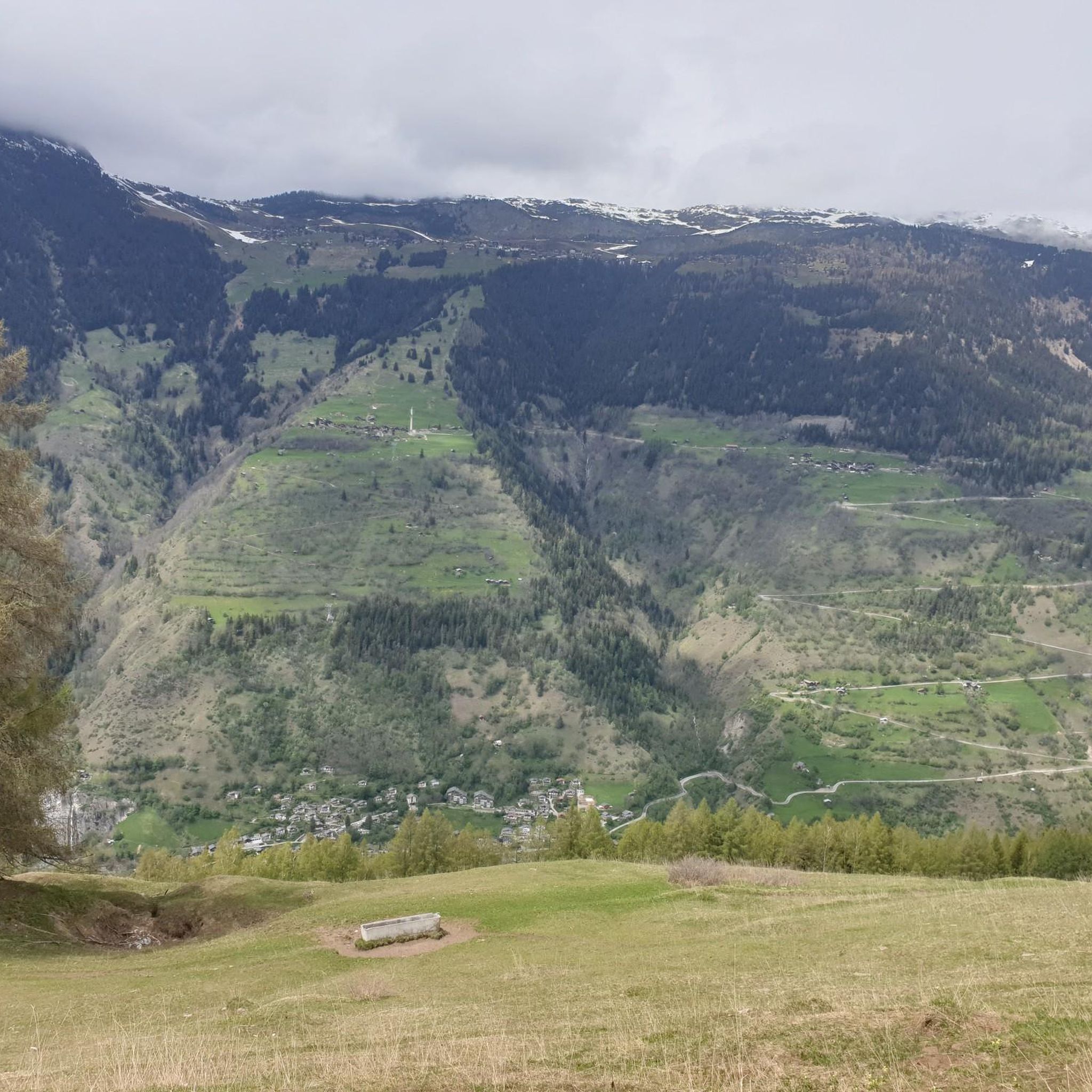
Best mountain peaks around Bister are located in the municipality of Bister, situated in the district of Raron, Valais, Switzerland. This region is characterized by its alpine landscapes and offers access to various mountain peaks. The area provides opportunities to explore the natural environment of the Swiss Alps. The guide features 20 distinct peaks around Bister.
Best mountain peaks around Bister
- The most popular mountain peaks is Breithorn Summit, a summit that offers extensive views over the mountains and…
Last updated: October 9, 2026
Eggishorn
Highlight • Viewpoint
Translated by Google •
Tip by

View of the Aletsch Glacier from Bettmerhorn
Highlight • Viewpoint
Showing Translation
Tip by

Sign up now to discover places like this
Get recommendations on the best single tracks, peaks, & plenty of other exciting outdoor places.
Breithorn Summit
Highlight • Summit
Translated by Google •
Tip by

Old Bridge in Binn
Highlight • Bridge
Translated by Google •
Tip by
Rifugio Città di Arona
Highlight • Mountain Hut
Translated by Google •
Tip by

Sign up for free to discover even more peaks around Bister.
Already have an account?
Start today with a free account
Your next adventure awaits.


Tips from the Community


The circular trail is almost 500 metres long and always offers you the perfect view of the UNESCO World Heritage Swiss Alps Jungfrau-Aletsch. Information boards along the route provide interesting facts about the largest ice stream in the Alps and the surrounding mountains. The circular trail starts directly at the Eggishorn mountain station.
11
0

Very beautiful old bridge over the Binna. Right next to the small chapel "St. Antonius", next to the bridge is an ebike charging station. Next to it is the restaurant at the bridge, where you can take a nice break!!
1
0


I was up there in August and it was freezing wind! Wears more than slippers, t-shirt and shorts!!!
3
1
The last sheltered spot before you can hike over the ridge to the Eggishorn.
2
0
Frequently Asked Questions
What are some of the most popular mountain peaks and viewpoints around Bister?
The region around Bister, located in the Valais canton of Switzerland, offers several notable peaks and viewpoints. Among the most popular are Breithorn Summit, known for its extensive views over the Valais mountains and glaciers, and View of the Aletsch Glacier from Bettmerhorn, which provides magnificent vistas of the Aletsch Glacier and Goms. Another favorite is Moosfluh Viewpoint - View of the Glacier, also offering stunning glacier views with a viewing platform and snack bar.
Are there family-friendly mountain viewpoints near Bister?
Yes, Hohfluh View Point is particularly family-friendly. Located at 2227 meters, it offers an impressive view of the Great Aletsch Glacier from a platform. It features an information pillar with "Gletschis Pfad" to make the stop exciting for families. The area is also accessible by cable car and has facilities.
What kind of natural features can I expect to see on mountain peaks around Bister?
The mountain peaks around Bister are characterized by alpine landscapes, including vast glaciers, dramatic mountain ranges, and panoramic viewpoints. You'll encounter the UNESCO World Heritage Swiss Alps Jungfrau-Aletsch, with highlights like the Great Aletsch Glacier, the largest ice stream in the Alps. Many viewpoints, such as Eggishorn, offer circular trails with information boards detailing the surrounding natural wonders.
What outdoor activities can I do near the mountain peaks around Bister?
Beyond hiking and enjoying the views, the region around Bister offers a variety of outdoor activities. For mountain biking enthusiasts, there are numerous trails, including the challenging "Family Aletsch Tour" and "All-mountain round tour to Lake Märjelen." Road cyclists can explore routes like the "Simplon Pass Eagle" loop. Runners also have options, such as the "Bettmersee – Moosfluh loop." You can find more details on these activities in the MTB Trails around Bister, Road Cycling Routes around Bister, and Running Trails around Bister guides.
Are there challenging mountain trails for experienced hikers near Bister?
Yes, several peaks and viewpoints offer challenging trails. For instance, the route to View of the Aletsch Glacier from Bettmerhorn may involve a ridge that requires appropriate footwear, basic fitness, and a head for heights. Breithorn Summit is also noted for being one of the toughest climbs in Switzerland, rewarding with magnificent views.
What is the best time of year to hike the mountains around Bister?
The best time to hike the mountains around Bister generally depends on the specific trail and desired conditions. Summer and early autumn typically offer the most favorable weather for high-altitude hiking, with less snow and more stable conditions. However, some trails, like the one to Hohfluh View Point, are groomed and open even in winter, catering to winter hikers and skiers.
What should I wear when hiking in the mountains near Bister?
When hiking in the alpine environment around Bister, it's crucial to wear appropriate footwear. Sturdy hiking boots with good ankle support are recommended, especially for trails involving rocky terrain or ridges, such as those leading to View of the Aletsch Glacier from Bettmerhorn. Layered clothing is advisable to adapt to changing weather conditions, which can vary significantly at different altitudes.
Can I reach mountain peaks near Bister using public transport?
While specific public transport details for every peak are not provided, the region of Valais, where Bister is located, is generally well-served by public transport, including trains and post buses that connect to cable car stations. Many viewpoints, like Hohfluh View Point, are accessible via cable car, making them reachable without a private vehicle.
Are there any hidden gem mountain trails or viewpoints around Bister?
While the guide focuses on popular and well-regarded peaks, the extensive network of trails in the Valais region means there are always opportunities to discover less-traveled paths. For a unique experience, consider exploring the areas around the major viewpoints like Eggishorn, where you can venture a bit further from the main circular trail to find more secluded spots with equally breathtaking views of the Aletsch Glacier.
What do visitors enjoy most about the mountain peaks around Bister?
Visitors consistently praise the magnificent and breathtaking views offered by the mountain peaks and viewpoints around Bister. The panoramic vistas of the Aletsch Glacier and the surrounding Valais mountains are frequently highlighted. The sense of accomplishment after a challenging ascent, such as to Breithorn Summit, is also a common theme, along with the well-maintained facilities and information available at popular spots like Moosfluh Viewpoint - View of the Glacier.
Is it possible to find circular mountain walks near Bister?
Yes, circular walks are available. For example, the Eggishorn offers a circular trail that is almost 500 meters long, providing continuous views of the UNESCO World Heritage Swiss Alps Jungfrau-Aletsch. These trails are designed to bring you back to your starting point after enjoying the scenery.
Most popular routes around Bister
Most popular attractions around Bister

Get inspired with the komoot mobile app


Explore more
See even more amazing summits around Bister with these guides:
