The best walks and hikes around Leutershausen
4.6
(121)
438
hikers
75
hikes
Hiking around Leutershausen offers a variety of routes through the region's landscape. The area is characterized by gentle elevation changes, river valleys, and forested sections, providing diverse scenery for outdoor activities. Trails often follow the Altmühl river and pass through rural settings, with some routes featuring notable natural landmarks. The terrain is generally accessible, making it suitable for various hiking experiences.
Best hiking trails around Leutershausen
- The most popular hiking route is Solitary Beech Tree – Altmühl Bridge loop from…
Last updated: October 5, 2026
5.0
(6)
26
hikers
14.3km
03:46
130m
130m
Moderate hike. Good fitness required. Easily-accessible paths. Suitable for all skill levels.
4.7
(3)
19
hikers
14.2km
03:43
110m
110m
Moderate hike. Good fitness required. Easily-accessible paths. Suitable for all skill levels.

4.7
(7)
18
hikers
5.97km
01:36
70m
70m
Easy hike. Great for any fitness level. Easily-accessible paths. Suitable for all skill levels.
4.7
(3)
19
hikers
15.6km
04:05
110m
110m
Moderate hike. Good fitness required. Easily-accessible paths. Suitable for all skill levels.
4.8
(6)
15
hikers
8.45km
02:17
110m
110m
Moderate hike. Good fitness required. Easily-accessible paths. Suitable for all skill levels.
Get access to more routes and recommendations from other explorers.
Already have an account?
Our route recommendations are based on thousands of hikes, rides, and runs completed by other people on komoot.
Start today with a free account
Your next adventure awaits.

Other adventures around Leutershausen

Tips from the Community

Great little brewery with very tasty beer!!!
0
0

What a tree! The tree of trees in the county!
0
0

short steep ramp to the Kreuzeiche (Cross Oak)
0
0

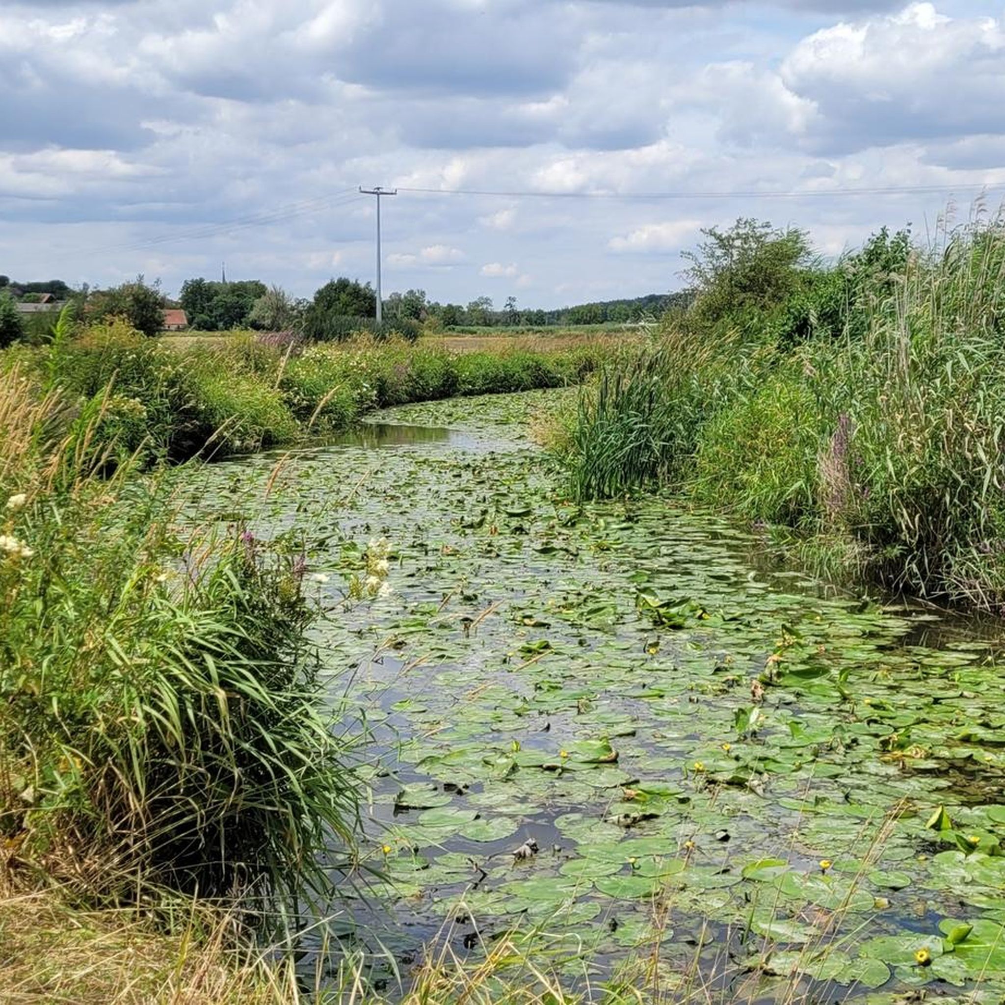
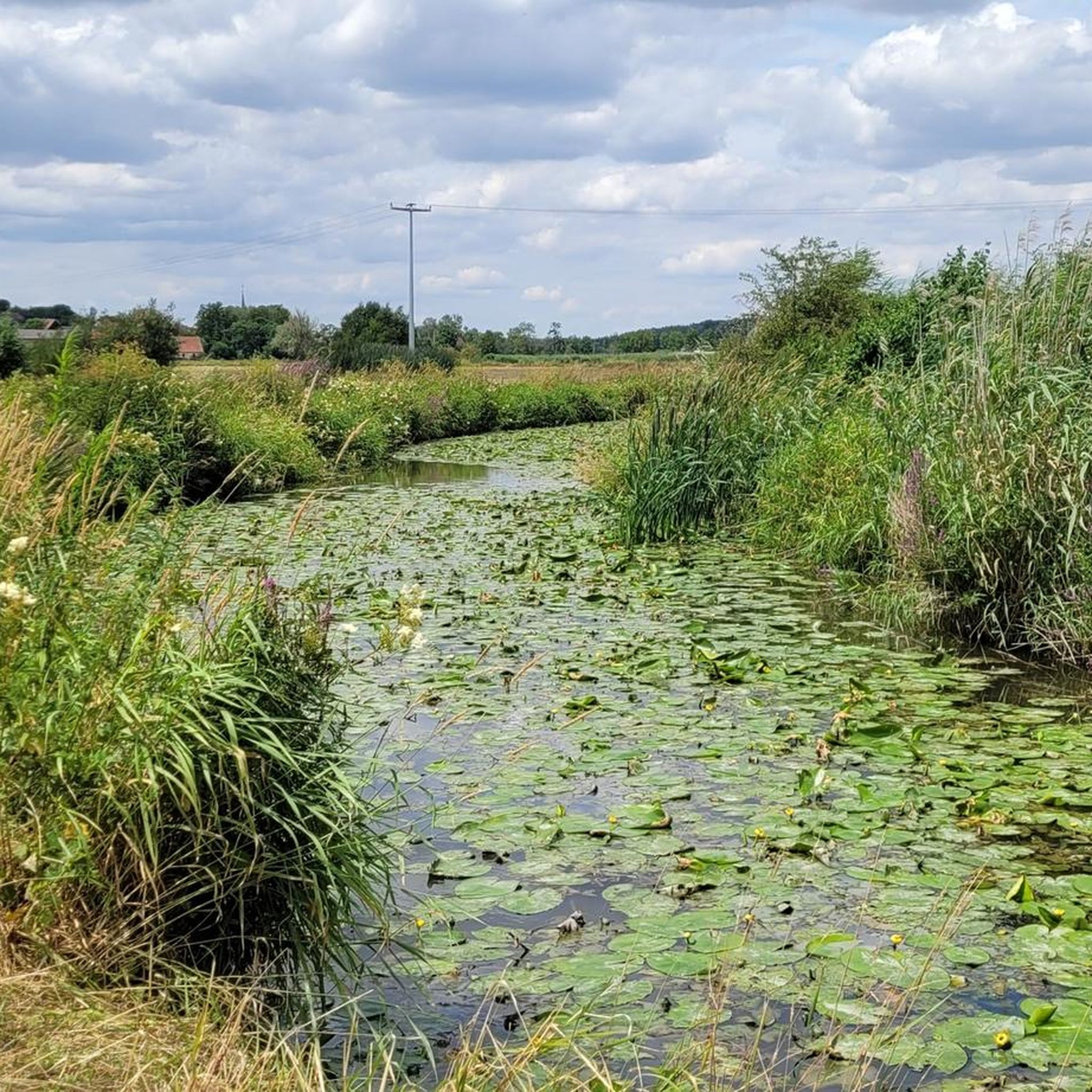
Hairpin bend of the Altmühl with water left and right, water lilies
1
0

This is the Altmühl Bridge in Frommetsfelden and not at Meuchlein
0
0

Old sandstone bridge with four arches over the Altmühl
2
0
Open Saturdays, Sundays and public holidays
0
0

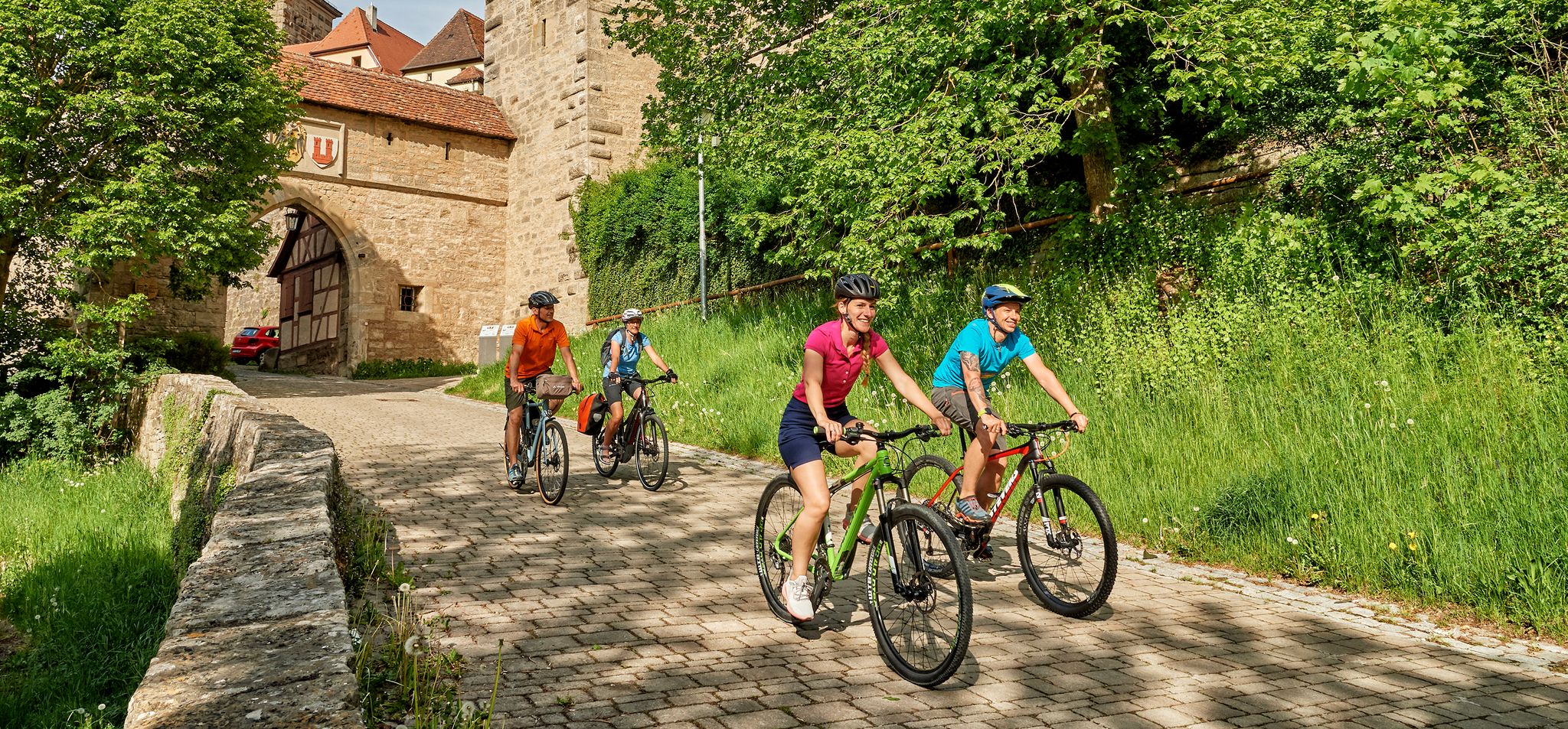
A very nice bike path
3
0
Frequently Asked Questions
How many hiking trails are available around Leutershausen?
Leutershausen offers a wide selection of hiking opportunities, with over 70 routes recorded on komoot. This includes approximately 50 easy trails, 25 moderate routes, and a few more challenging options, ensuring there's something for every ability level.
Are there many easy hiking trails suitable for beginners in Leutershausen?
Yes, Leutershausen is well-suited for beginners, with around 50 easy hiking trails. These routes typically feature gentle elevation changes and follow river valleys or open fields, providing a pleasant experience without significant physical demands. Many offer scenic views of the rural landscape.
Can I find circular hiking routes in the Leutershausen area?
Many of the hiking routes around Leutershausen are designed as loops, allowing you to start and end in the same location. An example is the Altmühl Bridge – Solitary Beech Tree loop from Leutershausen, which offers a moderate 5.3-mile (8.5 km) walk through the local scenery.
Are the hiking trails around Leutershausen dog-friendly?
Generally, the hiking trails in Leutershausen are dog-friendly. The region's rural and forested paths are suitable for walks with your canine companion. Always keep your dog on a leash, especially near livestock or in nature reserve areas, and remember to carry water and waste bags.
What are the best times of year to go hiking in Leutershausen?
The most enjoyable times for hiking in Leutershausen are typically from spring through autumn. During these seasons, the weather is mild, and the landscape is vibrant. Spring brings blooming nature, while autumn offers beautiful foliage. Summer is also pleasant, though it's advisable to hike in the mornings or evenings to avoid the midday heat.
What kind of natural attractions can I see along the hiking trails?
The trails around Leutershausen often lead to interesting natural sights. You can visit the Source of the Altmühl (Hornauer Pond), a significant natural landmark. Another notable feature is the Kreuzeiche (Cross Oak), a historic tree that serves as a local point of interest.
Are there any historical landmarks or places to explore near the hiking routes?
Yes, the region around Leutershausen has several historical and cultural points of interest. You might encounter the Stork Gate in Herrieden or explore the charming Feuchtwangen Market Square. The Ansbach Residence is also within reach for those interested in historical architecture.
What do other hikers enjoy most about the trails in Leutershausen?
The komoot community highly rates the trails in Leutershausen, with an average score of 4.6 stars from over 90 reviews. Hikers frequently praise the diverse scenery, which includes river valleys, open fields, and wooded sections, as well as the generally accessible terrain suitable for various experiences.
Are there any trails suitable for families with children?
Many of the easy trails in Leutershausen are suitable for families with children. These routes often follow the Altmühl river or pass through gentle landscapes, providing a relaxed and enjoyable outdoor experience for all ages. Consider shorter, flatter loops for younger children.
Is there parking available at the trailheads in Leutershausen?
Parking is generally available in and around Leutershausen, particularly in the town center and at designated starting points for popular trails. It's advisable to check specific route descriptions on komoot for detailed parking information, especially for routes starting in smaller villages or more remote areas.
Can I reach the hiking trails using public transport?
While Leutershausen is a rural area, some public transport options might connect to the town or nearby villages. However, direct access to all trailheads via public transport can be limited. It's recommended to check local bus schedules or regional train connections to plan your journey, especially if you're relying solely on public transport.
Are there any hidden gem hikes or less-known trails in Leutershausen?
Beyond the most popular routes, Leutershausen offers numerous quieter paths that allow for a more secluded experience. Exploring the smaller, local loops away from the main river paths can reveal charming rural landscapes and peaceful forested sections, often with fewer hikers. Komoot's map allows you to discover these less-traveled routes.
Most popular routes around Leutershausen
Most popular attractions around Leutershausen

Get inspired with the komoot mobile app


Explore more
Browse the best Hikes in other regions.
