The best running trails around Kimberly
59
runners
9
runs
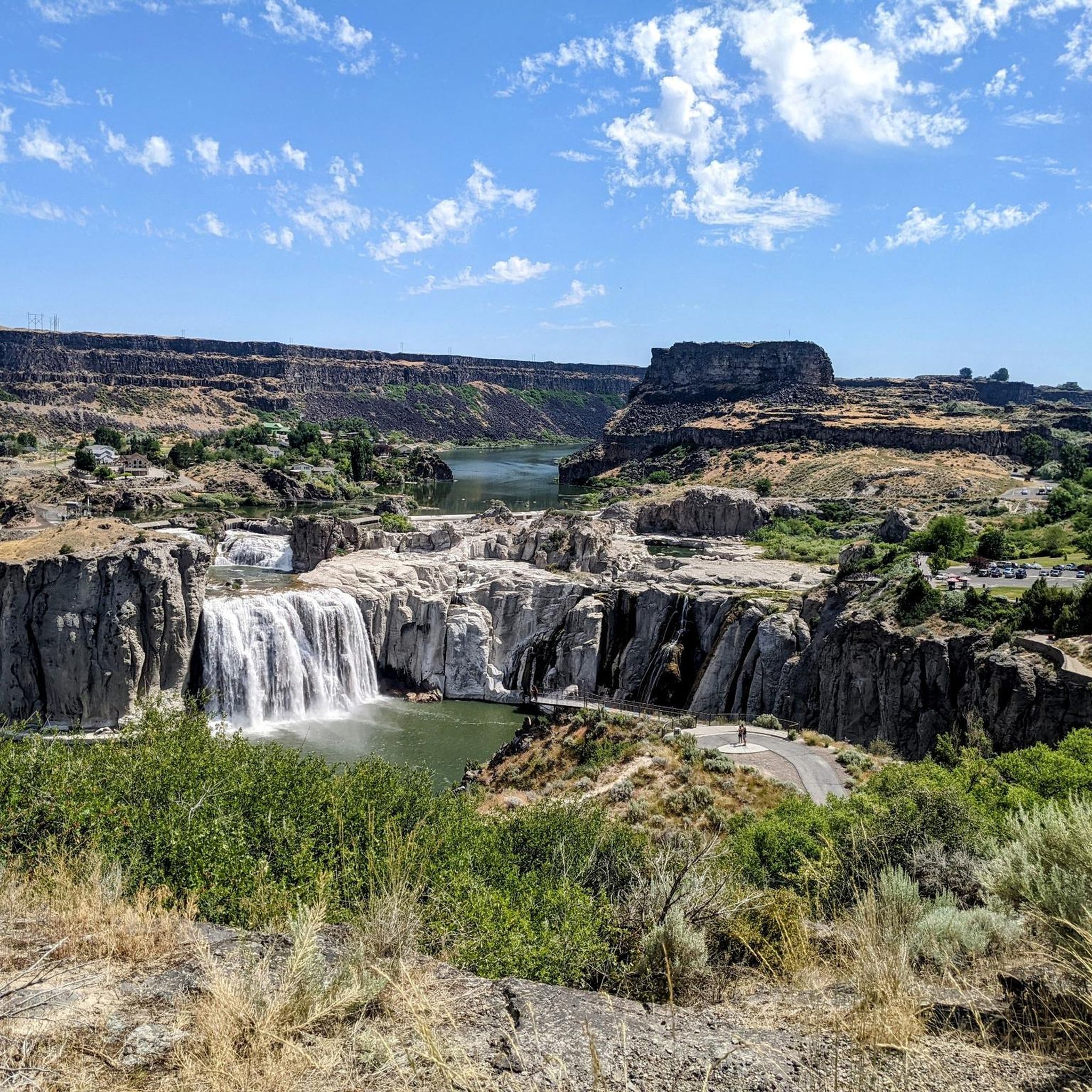
Jogging routes around Kimberly are primarily found in the Twin Falls area of Idaho, characterized by the dramatic Snake River Canyon. The terrain features relatively flat paths along the canyon rim, offering expansive views. These running trails often include sections near the Snake River, providing a mix of natural scenery and urban access. The region's landscape is shaped by the river and its canyon, with moderate elevation changes suitable for varied running experiences.
Best jogging routes around Kimberly
- The most…
Last updated: June 27, 2026
17
runners
Moderate run. Good fitness required. Mostly paved surfaces. Suitable for all skill levels.
9
runners
Moderate run. Good fitness required. Mostly paved surfaces. Suitable for all skill levels.

Sign up for free
6
runners
4.03km
00:25
30m
30m
Easy run. Great for any fitness level. Mostly paved surfaces. Suitable for all skill levels.
3
runners
10.2km
01:05
50m
50m
Moderate run. Good fitness required. Mostly accessible paths. Some sure footedness required.
5
runners
7.76km
00:48
60m
60m
Moderate run. Good fitness required. Mostly paved surfaces. Suitable for all skill levels.
Get access to more routes and recommendations from other explorers.
Sign up for free
Already have an account?
Our route recommendations are based on thousands of hikes, rides, and runs completed by other people on komoot.
Start today with a free account
Your next adventure awaits.
Login or Signup
Popular around Kimberly
Tips from the Community

The railroad bridge over the Snake River near Twin Falls was built in 1914. It was part of the Oregon Short Line Railroad and played a key role in connecting the region by rail during the early 20th century.
0
0

The trail is paved and has a number of different access points so you can customize your hike. You will have to cross Addison Ave and spend a short time on public roads to access the northern half of the trail in Rock Creek Park.
0
0
From here you can hike along the rim of the canyon to Shoshone Falls. The trail passes by Perrine Coulee Falls, the Perrine Memorial Bridge, and the spur trail into the canyon where you can hike alongside Pillar Falls.
0
0
Here you can see the ramp where Evel Knievel attempted to cross the canyon on a steam-powered rocket in 1974. The stunt failed due to a malfunctioning parachute, but Evel Knievel escaped with only a broken nose.
0
0

Excellent views from this level, smooth gravel trail with multiple overlooks into the impressive deep canyon
2
0
Engineering masterpiece in steel, providing stellar views up- and down-stream of the Snake River canyon far below.
2
0
Frequently Asked Questions
What kind of terrain can I expect on jogging routes around Kimberly, Idaho?
Jogging routes around Kimberly, Idaho, primarily feature relatively flat paths along the dramatic Snake River Canyon rim. You'll find a mix of natural scenery and urban access, with moderate elevation changes suitable for varied running experiences. Many routes offer expansive views of the canyon and the Snake River.
Are there any easy or beginner-friendly running trails in Kimberly?
Yes, there are several easy and moderate running trails suitable for beginners. For instance, the Canyon Rim Trailhead – Snake River - Canyon Rim Trail loop from Twin Falls Idaho Temple is a moderate 3.3-mile (5.4 km) path that provides scenic overlooks without being overly strenuous.
Can I find longer or more challenging running routes in the Kimberly area?
Absolutely. For those seeking a longer or more challenging run, the Snake River - Canyon Rim Trail – Perrine Bridge - Twin Falls loop from Eagle Hall Dormitory is a difficult 9.4-mile (15.1 km) trail that takes about 1 hour 34 minutes to complete, leading through the Snake River Canyon area. Another option is the Running loop from Twin Falls Idaho Temple, which is 11.5 miles (18.5 km) long and also rated difficult.
Are there any scenic viewpoints or natural attractions along the running trails?
Yes, the jogging routes in Kimberly, Idaho, offer stunning scenic views. Many trails run along the Snake River Canyon rim, providing expansive vistas. You can also find attractions like Shoshone Falls and the Shoshone Falls Overlook — Centennial Trail nearby, which are spectacular waterfalls. The Snake River Viewpoint is another notable spot.
Are the running routes around Kimberly suitable for families?
Many of the paths along the Snake River Canyon are relatively flat and well-maintained, making them suitable for families. Shorter, easier loops like the Canyon Rim Trailhead – Snake River - Canyon Rim Trail loop from Twin Falls Idaho Temple are great options for a family outing.
Are there any circular jogging routes available?
Yes, several routes are designed as loops, offering a convenient circular experience. For example, the popular Perrine Bridge - Twin Falls – Snake River - Canyon Rim Trail loop from Twin Falls Idaho Temple is a 6.9-mile (11.1 km) circular trail that provides excellent views of the Snake River Canyon and the Perrine Bridge.
What do other runners say about the jogging routes in Kimberly?
The jogging routes around Kimberly are highly regarded by the komoot community. Over 50 runners have explored the varied terrain, often praising the expansive views of the Snake River Canyon and the well-maintained paths that offer a mix of natural beauty and accessibility.
Are there any specific landmarks or points of interest to look out for while running?
Beyond the natural beauty of the Snake River Canyon, you can spot the iconic Perrine Bridge, which is a prominent feature on several routes. The Evel Knievel Snake River Canyon Jump Site is another historical landmark along the canyon rim that adds an interesting point of interest to your run.
How long are the running trails near Kimberly, Idaho?
The running trails near Kimberly, Idaho, vary in length to suit different preferences. You can find shorter loops around 3.3 miles (5.4 km), such as the Canyon Rim Trailhead – Snake River - Canyon Rim Trail loop from Twin Falls Idaho Temple, up to longer runs of 11.5 miles (18.5 km) like the Running loop from Twin Falls Idaho Temple.
Are there any routes that include the Perrine Bridge?
Yes, the Perrine Bridge is a significant landmark in the area and is featured on several running routes. The Perrine Bridge - Twin Falls – Snake River - Canyon Rim Trail loop from Twin Falls Idaho Temple is a popular option that offers excellent views of the bridge and the canyon.
What is the best time of year to go jogging in Kimberly, Idaho?
The Twin Falls area, including Kimberly, experiences distinct seasons. Spring and fall generally offer pleasant temperatures for jogging. Summers can be warm, making early morning or late evening runs ideal. While winter brings colder temperatures, many trails remain accessible, though conditions may vary with snow or ice.
Most popular routes around Kimberly
Most popular attractions around Kimberly

Get inspired with the komoot mobile app


Explore more
Browse the best Running Trails & Routes in other regions.
