The best cycling routes in the Lewis Range
4.8
(21)
713
riders
14
rides
Touring cycling in the Lewis Range offers exploration of a prominent segment of the northern Rocky Mountains, characterized by dramatic, glacially carved landscapes. The region features towering peaks, extensive forests of lodgepole pines and firs, and numerous alpine lakes. The Continental Divide follows the crest of the range, creating challenging yet rewarding climbs and descents for cyclists.
Best touring cycling routes in the Lewis Range
- The most popular touring cycling route is Going-to-the-Sun Road, a 61.3 miles (98.6 km)…
Last updated: July 7, 2026
18
riders
98.6km
06:48
1,450m
1,040m
Hard bike ride. Very good fitness required. Mostly paved surfaces. Suitable for all skill levels.
3.0
(1)
7
riders
24.0km
01:27
130m
130m
Easy bike ride. Great for any fitness level. Mostly paved surfaces. Suitable for all skill levels.

Sign up for free
1
riders
19.8km
01:24
390m
390m
Moderate bike ride. Good fitness required. Mostly paved surfaces. Suitable for all skill levels.
5.0
(2)
178
riders
41.5km
03:00
830m
830m
Hard bike ride. Very good fitness required. Mostly paved surfaces. Suitable for all skill levels.
87
riders
25.5km
02:09
840m
840m
Hard bike ride. Very good fitness required. Mostly paved surfaces. Suitable for all skill levels.
26
riders
116km
08:08
2,050m
2,050m
Hard bike ride. Very good fitness required. Mostly paved surfaces. Suitable for all skill levels.
5.0
(2)
31
riders
45.7km
03:18
700m
700m
Hard bike ride. Very good fitness required. Mostly paved surfaces. Suitable for all skill levels.
17
riders
21.0km
01:44
650m
650m
Hard bike ride. Very good fitness required. Mostly paved surfaces. Suitable for all skill levels.
5.0
(1)
13
riders
57.0km
03:51
860m
860m
Hard bike ride. Very good fitness required. Mostly paved surfaces. Suitable for all skill levels.
5.0
(2)
12
riders
20.1km
01:37
150m
150m
Moderate bike ride. Good fitness required. Mostly paved surfaces. Suitable for all skill levels.
Get access to more routes and recommendations from other explorers.
Sign up for free
Already have an account?
Our route recommendations are based on thousands of hikes, rides, and runs completed by other people on komoot.
Start today with a free account
Your next adventure awaits.
Login or Signup
Popular around Lewis Range

Pacific Northwest National Scenic Trail — From Alpine to Alava through the untamed Northwest
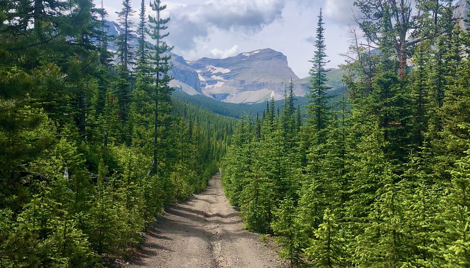
Run the Rockies – mountain range fastpack #5
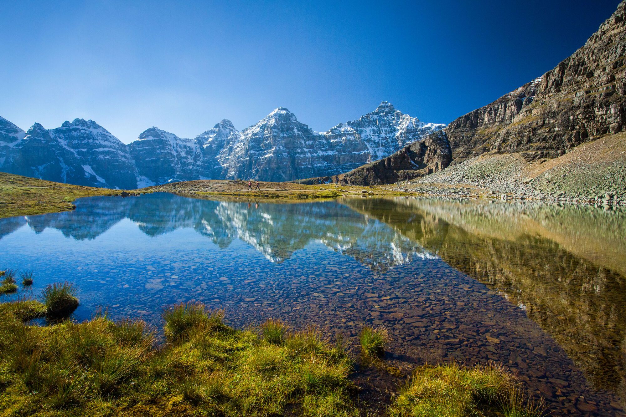
Spectacular road trip hikes – discover Calgary and Southern Alberta
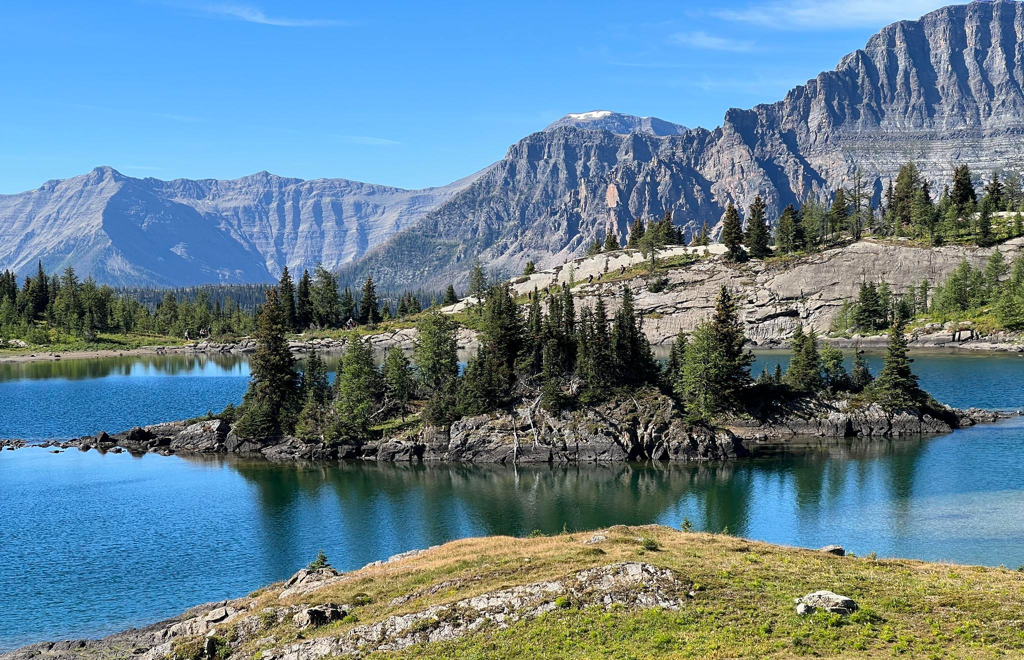
Great Divide Trail – Section A to E: Waterton to Maligne Lake

The pristine beauty of the US National Parks
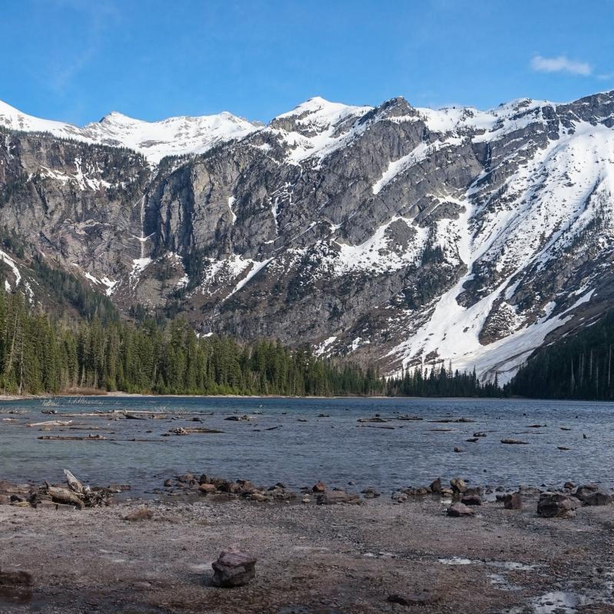
Hiking in the Lewis Range
Road Cycling Routes in the Lewis Range
Running Trails in the Lewis Range
Other adventures in the Lewis Range


Tips from the Community

One of the advantages of the GTTSR is the constantly changing views. The very next bend brings something new
0
0
Almost at the very top, this view offers a look back towards West Glacier
0
0
At about 2100 m you have a wonderful view of both sides of the pass. It is often still snow-covered and you feel like you are in a ski lodge
2
0
Yes, also Cedars, and old ones at that, are in the park
2
0

Middle Waterton Lake stretches between Canada and the U.S., surrounded by steep mountain walls and blue water. The trails along the shore offer views of both the lake and the peaks rising sharply above it. Whether you’re hiking, paddling, or just taking in the scenery, it’s a stunning place in Waterton Lakes National Park.
0
0

This area is really so incredibly beautiful.
3
0
This area is really so incredibly beautiful.
3
0

You need to be ready for any type of weather. So if you normally wear shorts when it’s 0C/32F and snowing, go ahead. Otherwise I would recommend bear spray, long pants, a rain shell, along with a sweater or base layer in your pack. 12-24 oz water and a Clif Bar is plenty sufficient. And your camera/smart phone.
1
0
Frequently Asked Questions
How many touring cycling routes are available in the Lewis Range?
The Lewis Range offers over 25 touring cycling routes, catering to various skill levels. You'll find a good mix, with approximately 12 easy, 8 moderate, and 7 difficult routes to explore.
What is the best time of year for touring cycling in the Lewis Range?
The prime season for touring cycling, especially on iconic routes like the Going-to-the-Sun Road, is typically from mid-June to mid-September when the full length is open to vehicles. However, the 'hiker-biker' season in spring offers a unique car-free experience on portions of the road after plowing but before vehicle access. Always check current conditions and road openings before planning your trip.
Are there any family-friendly touring cycling routes in the Lewis Range?
Yes, there are several easier routes suitable for families. For a pleasant ride, consider the Apgar Bike Trail, which is 12.6 km long and relatively flat. Another option is the Fish Creek to Apgar Bike Path, a shorter 4.3 km route perfect for a leisurely outing. The Apgar Bike Trail – McDonald Creek loop from Apgar Transit Center is also an easy, shorter option at 9.8 km.
What kind of wildlife might I encounter while cycling in the Lewis Range?
The Lewis Range is home to diverse wildlife. Cyclists might spot over 250 bird species, including bald eagles. Larger mammals such as grizzly bears, moose, and deer are also present, particularly in more remote areas. Always maintain a safe distance and be aware of your surroundings.
Are there any circular touring cycling routes in the Lewis Range?
Yes, the Lewis Range offers several loop routes. For a challenging ride, consider the Trail of the Cedars – Logan Pass Visitor Center loop from Lake McDonald Lodge, a difficult 68.3 km route. A moderate option is the Jackson Glacier Overlook – Saint Mary Lake loop from Saint Mary Visitor Center, spanning 41.9 km. For an easier, shorter loop, the Apgar Bike Trail – McDonald Creek loop from Apgar Transit Center is 9.8 km.
What are some notable landmarks or viewpoints along the touring cycling routes?
Many routes offer stunning views and access to significant landmarks. The Going-to-the-Sun Road itself is an engineering marvel with numerous overlooks. You can find breathtaking vistas at Logan Pass and the Hidden Lake Lookout. The Jackson Glacier Overlook via Saint Mary's Lake route leads to a prominent viewpoint of Jackson Glacier.
Are there any specific regulations or restrictions for cyclists in Glacier National Park?
Yes, especially on the Going-to-the-Sun Road. During peak season (mid-June to Labor Day), bicycle traffic is often prohibited during certain hours on specific segments to manage congestion and ensure safety. The road is narrow and winding with little to no shoulder. Cyclists are generally permitted on all paved and unpaved roads within the park, as well as on a few multi-use paths like the McDonald Creek Bike Path. For detailed and up-to-date regulations, it's best to consult the official Glacier National Park website: nps.gov/glac/planyourvisit/bicycling.htm.
What is the difficulty level of touring cycling in the Lewis Range?
The Lewis Range offers a range of difficulties. While there are easy, flat paths like the Apgar Bike Trail, many routes, particularly those traversing the heart of Glacier National Park, involve significant climbs. The Going-to-the-Sun Road, for instance, is considered a difficult route with a substantial elevation gain, comparable to some of the toughest climbs in professional cycling.
Are there options for bike rentals or e-bikes in the Lewis Range area?
Yes, bike rentals, including e-bikes, are available in and around Glacier National Park. This provides a convenient option if you're traveling without your own equipment or wish to try an e-bike for some of the more challenging ascents.
What do other touring cyclists enjoy most about the Lewis Range?
The Lewis Range is highly rated by the komoot community, with an average score of 4.7 stars from over 18 reviews. Cyclists frequently praise the dramatic, glacially carved landscapes, the breathtaking panoramic mountain views, and the unique experience of cycling through iconic areas like Glacier National Park. The challenging yet rewarding nature of routes like the Going-to-the-Sun Road is also a common highlight.
Can I find accommodations like hiker/biker campsites in the Lewis Range?
Yes, limited hiker/biker campsites are available within Glacier National Park. These dedicated sites offer an affordable option for touring cyclists arriving by bicycle, providing a convenient place to rest and recharge amidst the stunning natural surroundings.
Are there any routes that offer a less trafficked experience than the Going-to-the-Sun Road?
While the Going-to-the-Sun Road is iconic, if you're looking for routes with less vehicle traffic, consider exploring some of the unpaved roads within Glacier National Park. The Inside North Fork Road, for example, offers scenic routes to destinations like Kintla Lake and Bowman Lake, providing a more tranquil experience suitable for mountain biking or gravel riding.
Most popular routes in the Lewis Range
Most popular attractions in the Lewis Range

Get inspired with the komoot mobile app


Explore more
Browse the best Cycling routes in other regions.
