The best walks and hikes around Lichtenau im Mühlkreis
4.6
(2641)
13,449
hikers
26
hikes
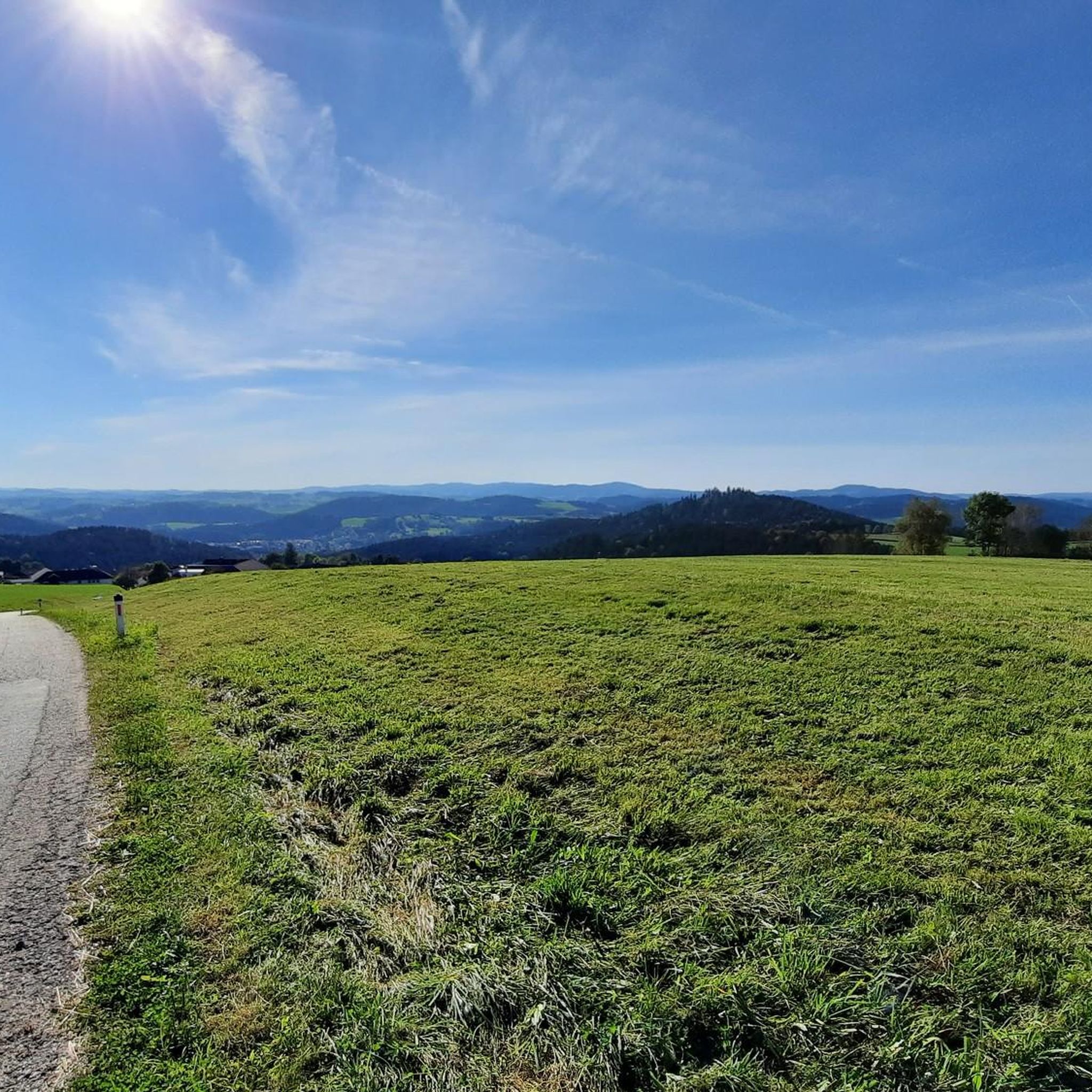
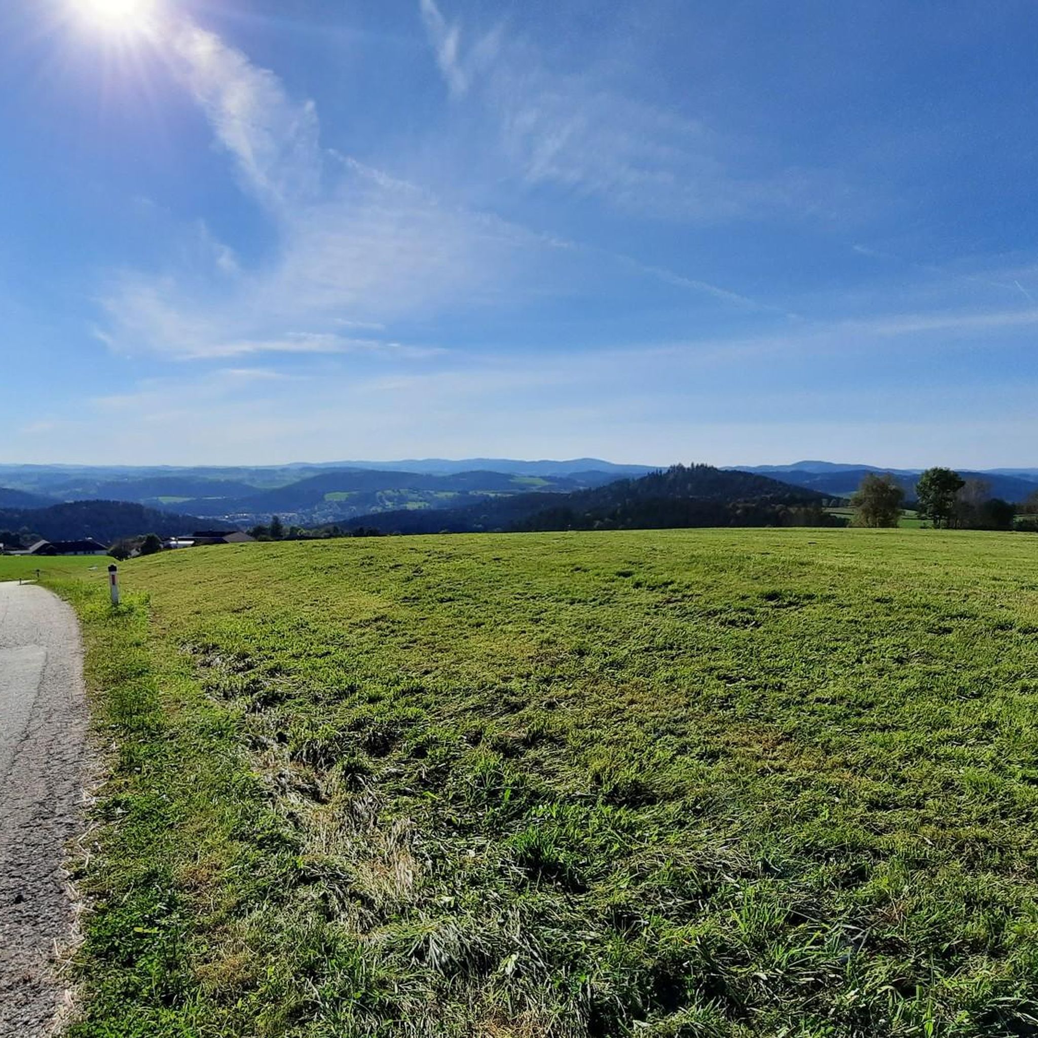
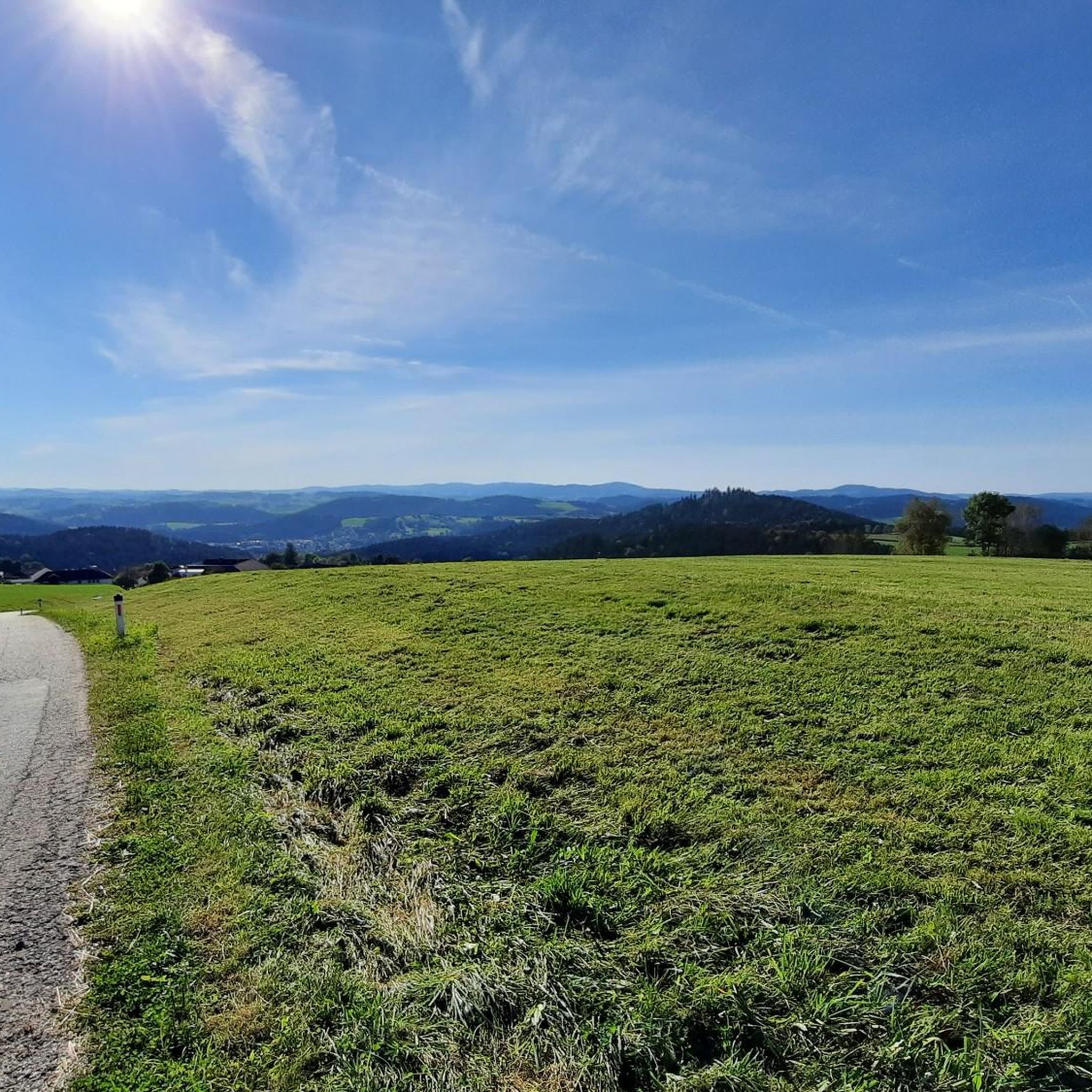
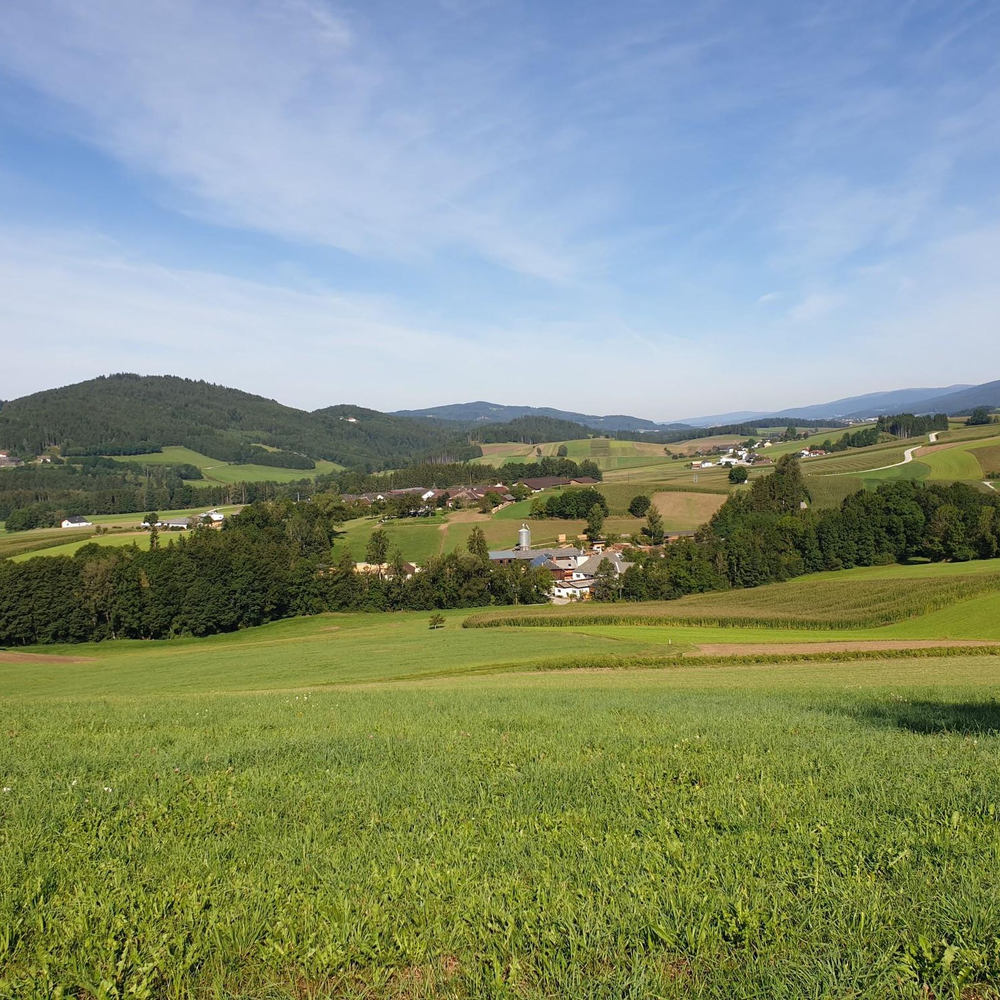
Hiking around Lichtenau im Mühlkreis offers diverse natural landscapes, characterized by idyllic forests, rolling hills, and clear streams. The region, nestled in the upper Mühlviertel of Upper Austria, features a mix of wooded paths and open agricultural land. This geographical diversity provides a rich habitat for various plant and animal species, enhancing the experience for nature enthusiasts. The Große Mühl river forms a significant natural boundary in the southwest, contributing to the area's scenic beauty.
Best hiking trails around Lichtenau…
Last updated: October 28, 2026
5.0
(2)
13
hikers
11.7km
03:22
290m
290m
Moderate hike. Good fitness required. Easily walkable paths.
12
hikers
Easy hike. Easily walkable paths.

4.0
(2)
12
hikers
5.15km
01:24
80m
80m
Easy hike. Easily walkable paths.
5.0
(1)
10
hikers
Moderate hike. Good fitness required. Mostly walkable paths. Sure-footedness required.
5.0
(1)
7
hikers
Moderate hike. Good fitness required. Mostly walkable paths. Sure-footedness required.
Get access to more routes and recommendations from other explorers.
Already have an account?
Our route recommendations are based on thousands of hikes, rides, and runs completed by other people on komoot.
Start today with a free account
Your next adventure awaits.
Tips from the Community

Very nice section of the flood channel!
0
0
The resting place is located in the immediate vicinity of the former settlement of Multenberg.
0
0
Everything is presented very interestingly with the information boards. Amazing how quickly nature has let everything grow back here.
0
0
Good idea for a sculpture.
0
0
Probably one of the most beautiful sections on the Schwarzenbergischen Schwemmkanal.
0
0

A hike of approximately 1 1/2 hours; hiking boots are required.
0
0

We always visit St. Oswald on the border to the Czech Republic
0
0

For 500 years people have been making pilgrimages to the Holy Water Chapel
5
0
Frequently Asked Questions
How many hiking trails are available in Lichtenau im Mühlkreis?
Lichtenau im Mühlkreis offers a diverse network of over 25 hiking trails. These routes cater to various fitness levels, ranging from easy strolls to more moderate tours through the region's scenic landscapes.
What is the best time of year to go hiking in Lichtenau im Mühlkreis?
The best seasons for hiking in Lichtenau im Mühlkreis are spring and autumn. During these times, the natural surroundings are particularly vibrant, with blooming flora in spring and colorful foliage in autumn, enhancing the scenic appeal of the trails.
Are there easy hiking trails suitable for beginners or families?
Yes, Lichtenau im Mühlkreis has 11 easy hiking trails perfect for beginners or families. A great option is the Heiligenwasser Chapel – View of Haslach in the Mühlviertel loop from přírodní rezervace Rožnov, a shorter 1.5-mile (2.4 km) path that offers pleasant views.
Are there more challenging hikes for experienced hikers?
While there are no officially 'difficult' trails, Lichtenau im Mühlkreis features 16 moderate routes that offer a good challenge. For example, the Crucifix Near Morau – Connect It Sculpture loop from Lichtenau im Mühlkreis is a 7.4-mile (11.9 km) trail with varied terrain, taking around 3 hours 25 minutes to complete.
What kind of terrain can I expect on hikes in Lichtenau im Mühlkreis?
You can expect a varied terrain in Lichtenau im Mühlkreis. The region is characterized by idyllic forests, rolling hills, and clear streams. Trails often combine wooded paths with open agricultural land, providing a mix of shaded and expansive views.
Can I find trails with panoramic views in Lichtenau im Mühlkreis?
Absolutely! The region is known for its panoramic views. The Bärenstein peak, at 1,077 meters, offers grand vistas that, on clear days, can extend southwards to the Alps. You can explore the Bärenstein Summit and Rock Formations for spectacular scenery.
Are there any trails that pass by water bodies or lakes?
Yes, the region features several water bodies. The Große Mühl river forms a significant natural boundary, and nearby, the Lipno Reservoir is a popular destination with an adventure path through a moor, offering impressive landscapes and refreshing breaks by the water.
What natural attractions or landmarks can I explore while hiking?
Beyond the scenic trails, you can discover unique natural heritage sites. The Spirkenhochmoor "Bayrische Au" is a natural heritage site with an adventure trail. Other notable landmarks include the Cooling stone and the Lovers' Rock, both offering interesting points of interest along your hike.
Are there any circular hiking routes in the area?
Yes, many trails in Lichtenau im Mühlkreis are designed as loops. For instance, the Hiking loop from přírodní rezervace Rožnov is a 3.2-mile (5.1 km) circular trail that leads through varied natural surroundings, typically completed in about 1 hour 24 minutes.
What do other hikers enjoy the most about hiking in Lichtenau im Mühlkreis?
The area is highly rated by the komoot community, with an average score of 4.6 stars from over 2100 reviews. Hikers often praise the diverse natural landscapes, the tranquility of the forests, and the well-maintained trails that cater to various ability levels.
Are there any trails that lead to interesting historical or cultural sites?
While the focus is primarily on natural beauty, some routes, like the Nordwaldkammweg Marked Trail – Site of the former village Multerberg loop from přírodní rezervace Rožnov, offer glimpses into the region's past, passing by historical sites or remnants of former settlements.
Can I find trails with opportunities for refreshments or food stops?
Yes, some routes are designed to pass by local establishments. The View of Haslach from Rest Area – Jimmy's Pizza – Gasthof Ghali loop from přírodní rezervace Rožnov is an example of a trail that includes options for a break and refreshments along the way.
Most popular routes around Lichtenau im Mühlkreis
Most popular attractions around Lichtenau im Mühlkreis

Get inspired with the komoot mobile app


Explore more
Browse the best Hikes in other regions.
