The best walks and hikes around Smithton
3.0
(1)
7
hikers
5
hikes
Hiking around Smithton, Pennsylvania, centers on its designation as a "trail town" within the Laurel Highlands of the Allegheny Mountains. The region is characterized by its proximity to the Youghiogheny River and the historic Great Allegheny Passage, a multi-use trail built on former railroad beds. This landscape offers a mix of riverside paths and routes through the mountainous terrain of southwestern Pennsylvania.
Best hiking trails around Smithton
- The most popular hiking route is Cedar Creek Gorge Trail Loop, a…
Last updated: October 29, 2026
3.0
(1)
3
hikers
6.81km
01:54
140m
140m
Embark on the Cedar Creek Gorge Trail Loop, an easy 4.2 miles (6.8 km) hike that winds through picturesque wooded surroundings. You will gain 450 feet (137 metres) in elevation…
1
hikers
5.42km
01:23
20m
10m
Embark on an easy hike along the Great Allegheny Passage from West Newton to Cedar Creek, covering 3.4 miles (5.4 km) with a gentle elevation gain of just 58 feet…

12.1km
03:08
80m
70m
Embark on a moderate hike along the Great Allegheny Passage from Layton to Dawson, covering 7.5 miles (12.1 km) with a gentle elevation gain of 247 feet (75 metres). You…
4.66km
01:13
30m
20m
Embark on an easy hike along a section of the Great Allegheny Passage, where you'll discover diverse scenery ranging from dense forests to serene river valleys. This 2.9-mile (4.7 km)…
3
hikers
12.2km
03:11
80m
80m
The Great Allegheny Passage offers a moderate hike spanning 7.6 miles (12.2 km), where you will gain 257 feet (78 metres) over approximately 3 hours and 10 minutes. As you…
Our route recommendations are based on thousands of hikes, rides, and runs completed by other people on komoot.
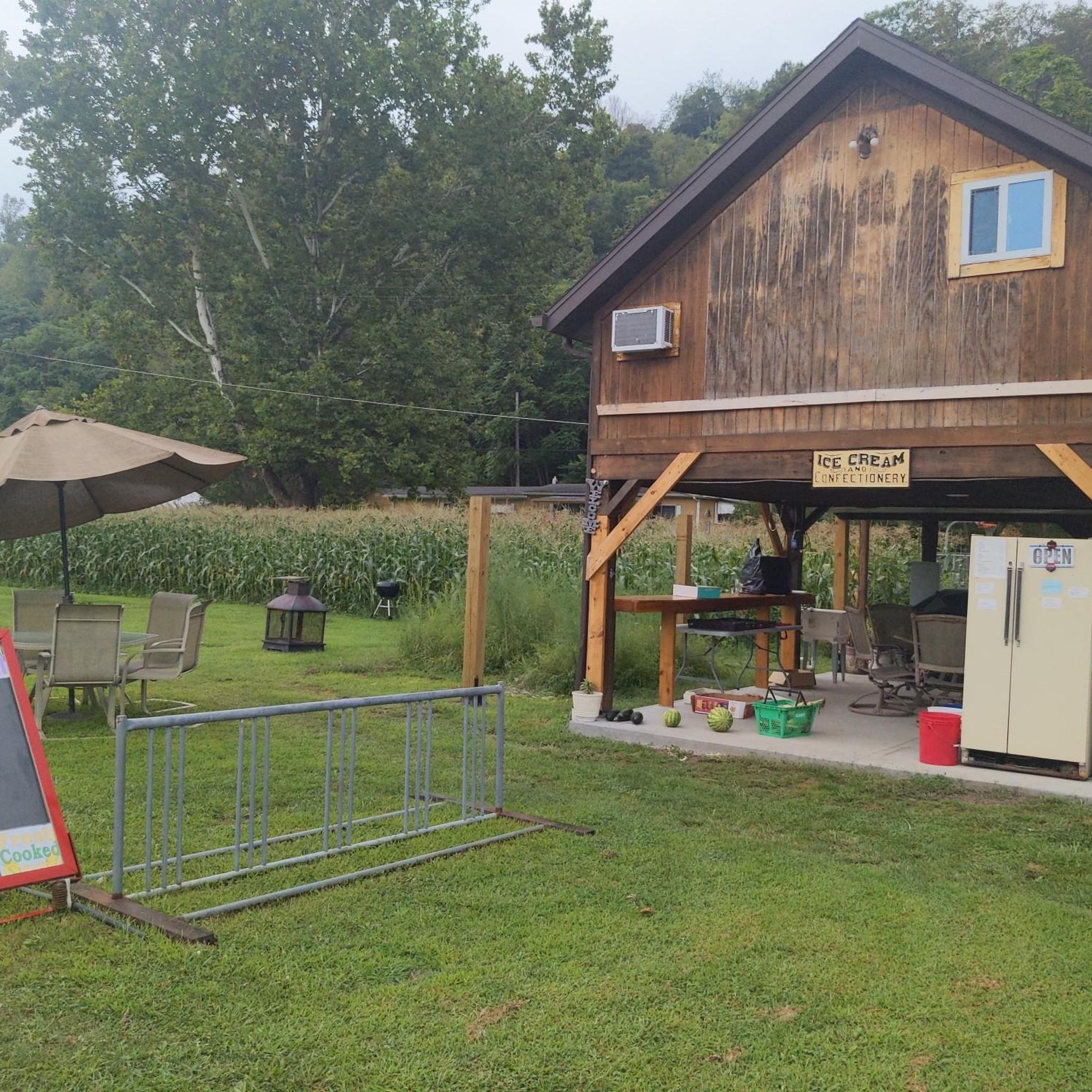

Tips from the Community

If you are out on a multi-day trek of the GAP, this free campsite is a great option for an overnight stay. There is room for 100 tents, a composting toilet, picnic tables, and several fire rings.
0
0

The Great Allegheny Passage is a 150 miles long multi-use trail in Pennsylvania that follows the route of former railroads. This section between West Newton and Sutersville leads along the Youghiogheny River.
0
0
Frequently Asked Questions
What kind of terrain can I expect on hiking trails around Smithton?
Hiking around Smithton, Pennsylvania, primarily features the relatively flat and well-maintained paths of the Great Allegheny Passage (GAP). This 'Rails to Trails' path follows old railroad tracks, offering a smooth surface ideal for walking and cycling. For those seeking more varied terrain, the broader Laurel Highlands region, where Smithton is located, provides access to more mountainous and forested trails.
Are there easy hiking trails suitable for beginners or casual walkers?
Yes, Smithton is an excellent starting point for easy hikes. Many sections of the Great Allegheny Passage are rated as easy, offering gentle grades and well-maintained surfaces. For example, the Great Allegheny Passage: West Newton to Cedar Creek is a straightforward option, perfect for a relaxed stroll.
Are there any circular hiking routes near Smithton?
Yes, for a pleasant loop experience, consider the Cedar Creek Gorge Trail Loop. This route offers a contained experience, allowing you to start and finish at the same point while exploring the natural beauty of the gorge.
What are some notable landmarks or points of interest along the hiking trails?
The primary landmark is the Great Allegheny Passage itself, a historic 'Rails to Trails' path. Along the way, you'll find various facilities and points of interest such as the West Newton Visitor Center, and several campgrounds like GAP Trail Campground and Cedar Creek Hiker-Biker Campground. The Smithton Low-Level Bridge over the Youghiogheny River is also a significant feature connecting the trail to the town.
Are the hiking trails around Smithton suitable for families with children?
Absolutely. The gentle gradients and wide paths of the Great Allegheny Passage make it very family-friendly. Routes like the Great Allegheny Passage: West Newton to Cedar Creek are ideal for walks with children, offering a safe and enjoyable environment for all ages.
Can I bring my dog on the hiking trails in Smithton?
Yes, the Great Allegheny Passage is generally dog-friendly, making it a great option for hiking with your canine companion. Always ensure your dog is on a leash and that you clean up after them to maintain the trail's cleanliness for all users.
Is there parking available at the trailheads?
Given Smithton's status as a 'trail town' along the Great Allegheny Passage, parking is typically available at various access points and trailheads. You'll often find designated parking areas near visitor centers or town access points to the GAP.
What is the best time of year to go hiking in Smithton?
The spring and autumn months are particularly pleasant for hiking in Smithton, Pennsylvania. Spring brings lush greenery and comfortable temperatures, while autumn offers stunning fall foliage in the Laurel Highlands. Summer can also be enjoyable, though it can be warmer, and winter hiking is possible for those prepared for colder conditions.
Are there any longer or more challenging hikes for experienced hikers?
While many routes directly through Smithton on the Great Allegheny Passage are easy, longer sections of the GAP, such as Great Allegheny Passage: Layton to Dawson, offer moderate challenges due to their length. For more significant elevation changes and rugged terrain, exploring trails deeper within the Laurel Highlands will provide a greater challenge.
Are there places to eat or drink near the hiking trails in Smithton?
As a recognized 'trail town,' Smithton offers amenities for hikers and cyclists. You can find local establishments in town to grab a bite or a drink after your hike. Additionally, other towns along the Great Allegheny Passage often have cafes and pubs catering to trail users.
Most popular routes around Smithton
Most popular attractions around Smithton

Get inspired with the komoot mobile app


Explore more
Browse the best Hikes in other regions.
