The 3 Most Amazing Peaks around Stordal
Mountain peaks around Stordal, located in Fjord Norway, feature a landscape of steep mountains, wide valleys, and high mountain plateaus. This terrain provides opportunities for hiking and offers expansive views. Many peaks in the region exceed 1,000 meters in elevation, contributing to Stordal's reputation as a mountain destination. The area's diverse terrain caters to various ability levels, making it popular for outdoor enthusiasts.
Best mountain peaks around Stordal
- The most popular mountain peaks is Blåhornet Summit, a summit that…
Last updated: July 8, 2026
Blåhornet Summit
Highlight • Summit
Showing Translation
Tip by

Dregetua 693 m
Highlight • Summit
Tip by

Sign up now to discover places like this
Get recommendations on the best single tracks, peaks, & plenty of other exciting outdoor places.
Sign up for free
View of Storfjord and Sunnylvsfjord from Ansokhornet
Highlight • Viewpoint
Due to the altitude and exposed location, it can get quite windy and cold. If you want to rest, bring something warm.
Translated by Google •
Tip by
Gimsdalsetra
Highlight • Summit
Tip by

Høgsvora
Highlight • Summit
Tip by

Start today with a free account
Your next adventure awaits.
Login or Signup
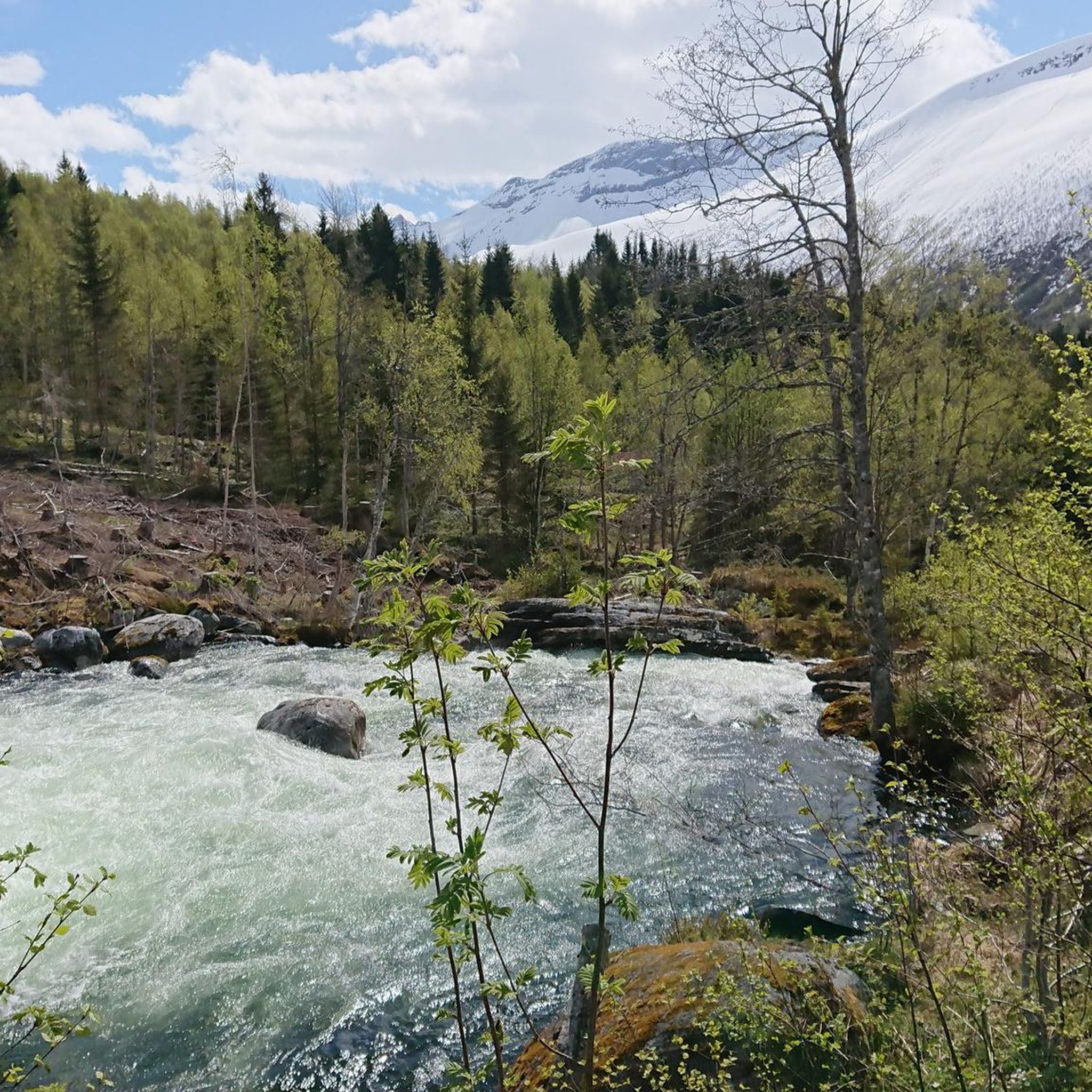
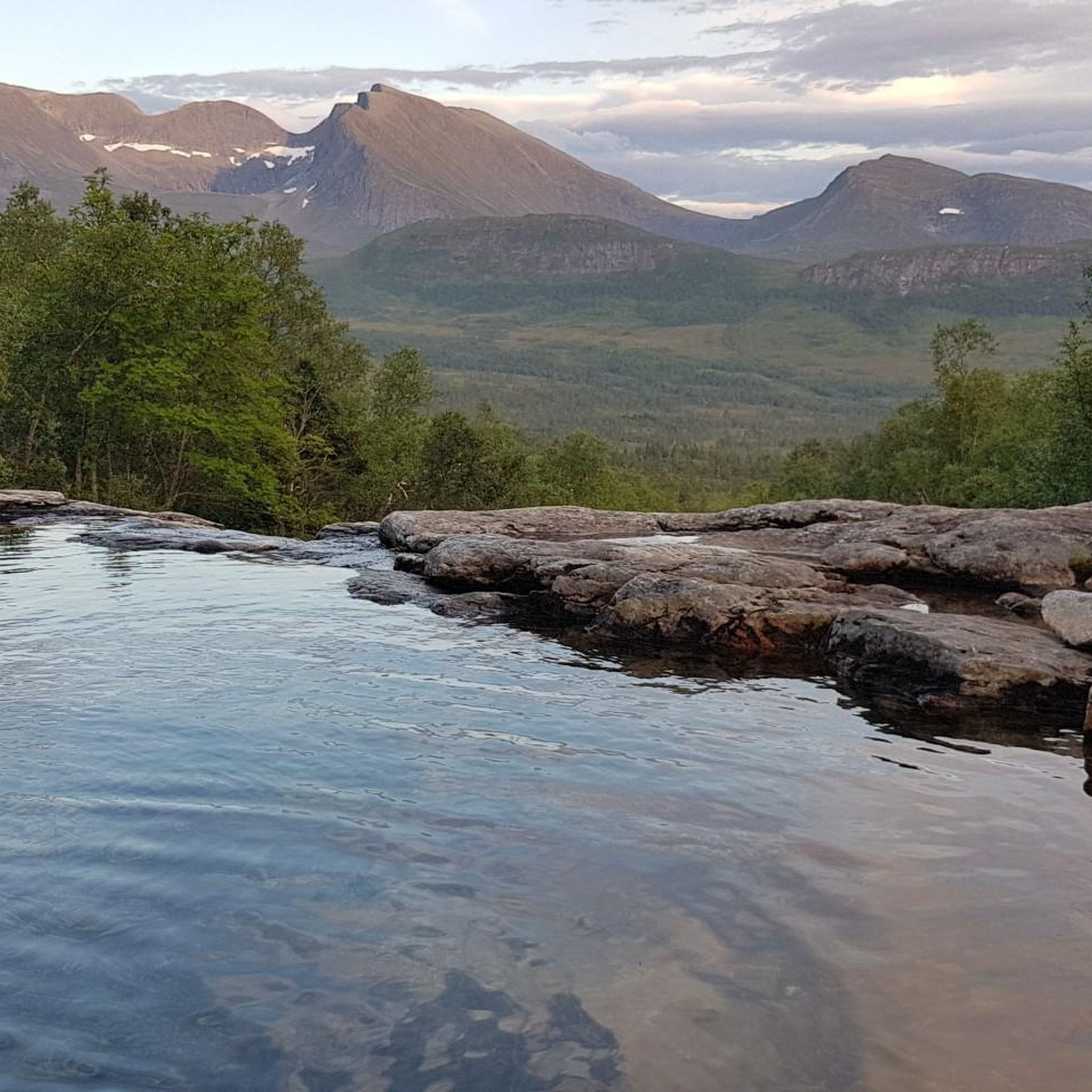
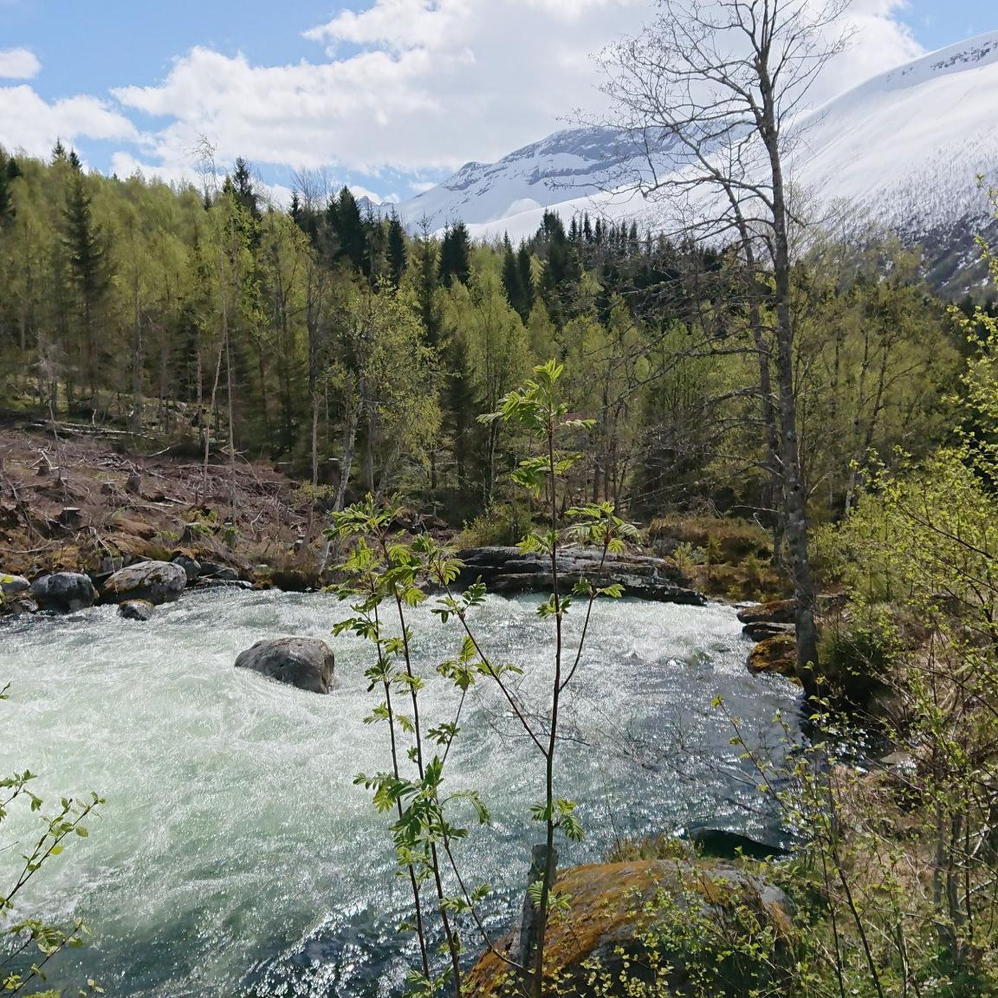
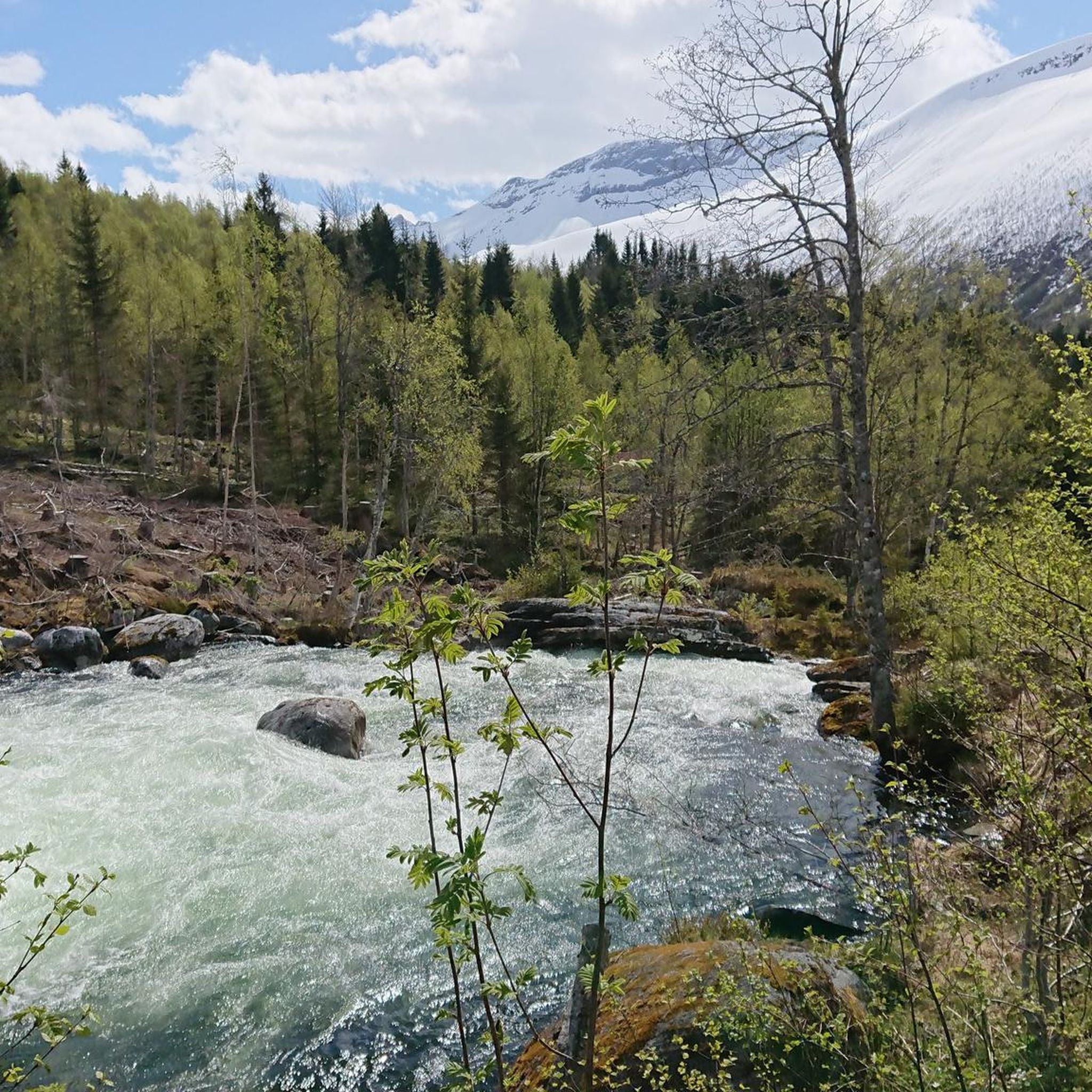
Tips from the Community

In the summer months Gimsdalsetra is a very popular hiking destination. This small dairy farm area provides a small, stiff, steep hiking and cycling destination. It offers great views of the surrounding mountains.
0
0

Dregetua rises above the fjord landscape with wide views over the surrounding mountains and valleys near Stranda.
0
0

Høgsvora is a magnificent peak standing at 1,164 metres. The ridge it forms with Naeremstindane to the north-east is stunning.
0
0

Great panoramic views of the Storfjord, Sunnylvsfjord (which further leads to Geiranger Fjord), and the surrounding mountain peaks. Due to the altitude and exposed location, it can get quite windy and cold. If you want to rest, bring something warm.
0
0
The transmission mast there is not an optical highlight, but it offers great views of the surrounding peaks, down into the fjord, and you can even see the road to Geiranger in the distance.
0
0
Frequently Asked Questions
What are some of the most characteristic mountain peaks to visit in Stordal?
Stordal offers a range of distinctive peaks. Høgsvora, at 1,164 meters, is known for its challenging ascent and stunning ridge views. Lauparen, though not in the guide highlights, is considered one of the most characteristic mountains in the region, situated where Stordal, Ørskog, and Vestnes converge. Its prominence makes it a notable landmark.
Which peaks offer the best panoramic views of the fjords and surrounding mountains?
For breathtaking vistas, consider Blåhornet Summit, which provides great views of the surrounding peaks, down into the fjord, and even the road to Geiranger in the distance. Another excellent choice is Ansokhornet, offering panoramic views of the Storfjord and Sunnylvsfjord, which leads to the famous Geiranger Fjord.
Are there any intermediate-difficulty peaks suitable for a rewarding hike?
Yes, Dregetua (693 m) is categorized as intermediate and rises above the fjord landscape, providing wide views over the surrounding mountains and valleys near Stranda. Another intermediate option is Gimsdalsetra, a popular hiking destination in summer, offering great views from its small dairy farm area.
What is the best time of year to hike the mountain peaks around Stordal?
The best time to visit the Stordal mountains for hiking is generally during the summer months, from late spring to early autumn. This period offers more stable weather, accessible trails, and the opportunity to experience wildflowers and autumn foliage. Due to the altitude and exposed locations of many peaks, conditions can be windy and cold outside of peak season, so appropriate attire is always recommended.
What kind of outdoor activities can I do near the mountain peaks in Stordal?
Beyond peak bagging, the Stordal region is excellent for various outdoor activities. You can find numerous hiking trails, including moderate routes like the 'Nysætervatnet loop from Orreneset' or 'Up to Vardefjellet'. For cycling enthusiasts, there are routes like the 'Tresfjord Bridge – Einhammaren loop'. Running trails are also available, such as the 'Rishaugen – Tudalsreset loop'. You can explore more options in the dedicated guides for Hiking around Stordal, Cycling around Stordal, and Running Trails around Stordal.
Are there any family-friendly hiking options among the Stordal mountain peaks?
While many of Stordal's peaks offer challenging ascents, the region also provides diverse terrain. For family-friendly options, look for trails leading to viewpoints or lower-elevation peaks that are less strenuous. Vardefjellet, for example, is a popular route that can take approximately 1 hour and 49 minutes to complete, offering panoramic views without extreme difficulty. Always check specific trail descriptions for suitability for younger hikers.
What are the typical terrain and difficulty levels for hiking in the Stordal mountains?
The Stordal mountains feature diverse terrain, from accessible paths to more challenging routes. Many peaks involve steep ascents, especially towards the summit, and can include ridge traverses. Difficulty levels range from moderate to challenging, with some trails requiring good physical condition. The area is characterized by steep mountains, wide valleys, and high mountain plateaus. Always prepare for varying conditions and consult specific route details before heading out.
Are there any higher, more challenging peaks in the Stordal municipality?
Yes, Stordal is home to several higher peaks that contribute to its reputation as a renowned mountain region. These include Seljebottinden (1,531m), Storbua (1,498m), Geitebottinden (1,495m), Litlevasstinden (1,490m), and Sandfjellet (1,470m). These peaks often exceed 1,000 meters in elevation and offer more demanding experiences for experienced hikers.
What should I know about weather conditions when planning a hike in Stordal?
Due to the altitude and exposed locations of many peaks, weather conditions in Stordal can change rapidly. It can get quite windy and cold, even during summer months. Always check the local forecast before your hike and be prepared with appropriate attire, including warm layers and windproof/waterproof gear. Bringing something warm to rest in is advisable, especially at exposed viewpoints.
Where can I find practical information about parking and public transport to trailheads?
While specific parking fees or public transport routes to individual trailheads are not detailed here, many popular hiking routes in Stordal will have designated parking areas. For public transport, it's best to research local bus services that connect to the general Stordal area and then plan your route to specific trailheads. Information on permits is generally not required for hiking in Norway, but always respect local regulations and private property.
Most popular routes around Stordal
Most popular attractions around Stordal

Get inspired with the komoot mobile app


Explore more
See even more amazing summits around Stordal with these guides:
