The best cycling routes around Liederbach am Taunus
4.5
(7742)
43,025
riders
20
rides
Touring cycling routes around Liederbach am Taunus are situated in the Main-Taunus-Kreis, bordering the Taunus Nature Park. The region features rolling hills, green meadows, and dense forests, with the Liederbach River providing a tranquil backdrop for many routes. This area is characterized by its diverse landscapes, offering both gentle paths and more challenging ascents within the broader Taunus region.
Best touring cycling routes around Liederbach am Taunus
- The most popular touring cycling route is Eppstein — Old Town and Castle…
Last updated: September 28, 2026
4.8
(33)
177
riders
55.2km
03:46
750m
750m
Hard bike ride. Very good fitness required. Mostly paved surfaces. Suitable for all skill levels.
3.8
(5)
76
riders
9.76km
00:34
50m
50m
Easy bike ride. Great for any fitness level. Mostly paved surfaces. Suitable for all skill levels.

4.3
(6)
43
riders
22.4km
01:21
130m
130m
Easy bike ride. Great for any fitness level. Mostly paved surfaces. Suitable for all skill levels.
3.3
(3)
53
riders
8.16km
00:33
50m
50m
Easy bike ride. Great for any fitness level. Mostly paved surfaces. Suitable for all skill levels.
4.0
(1)
41
riders
82.5km
05:34
1,240m
1,240m
Hard bike ride. Very good fitness required. Mostly paved surfaces. Suitable for all skill levels.
Get access to more routes and recommendations from other explorers.
Already have an account?
Our route recommendations are based on thousands of hikes, rides, and runs completed by other people on komoot.
Start today with a free account
Your next adventure awaits.
Tips from the Community

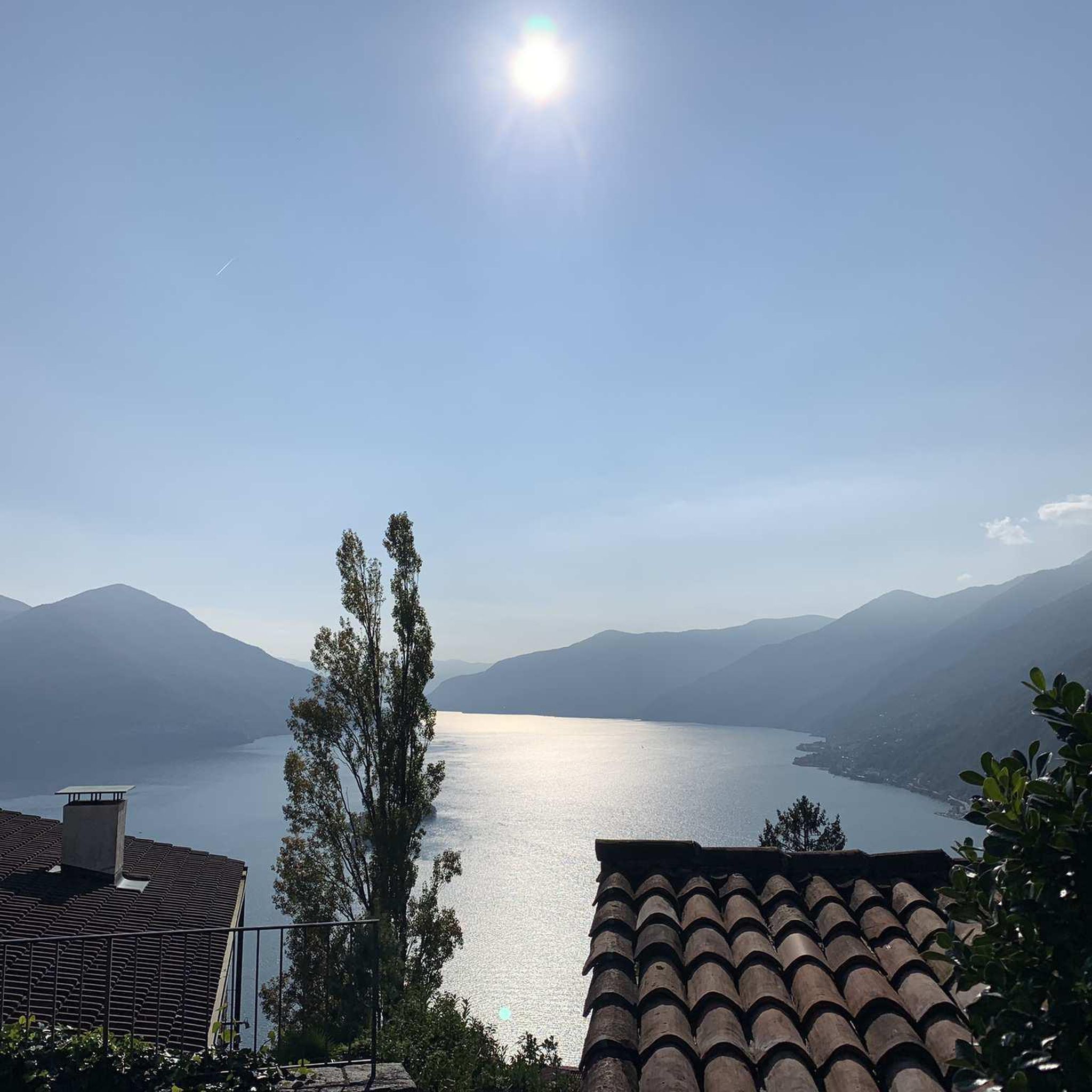
Very nice viewpoint
1
0

5 WebsitesThe geographically correct name of the body of water, which originates in the immediate vicinity of the Spatzenwiese and the Fuchstanz, is Emsbach (often shortened to "die Ems" in local parlance). This Mittelgebirge stream is a significant, almost 40-kilometer-long left tributary of the Lahn and should not be confused with the well-known, large North German river Ems. The Emsbach originates in a damp forest area just below the Kleiner Feldberg in the Hohe Taunus, not far from the Rotes Kreuz hiking junction and the Fuchstanz. The official main spring, idyllically located in the forest, is historically also referred to as Seelborn and is located directly on the Bornstedtweg as well as near the intersection of the Grüner Weg with the Falkensteiner Pfad.From this high-lying source area, the young stream initially flows downhill in a northerly direction, feeding, among other things, the region's drinking water reservoirs and passing through the municipality of Schmitten and the district of Arnoldshain. Further on, the Emsbach leaves the Hochtaunus and crosses the fertile agricultural landscape of the so-called Goldenen Grund, where it flows through Bad Camberg, among other places. On its way, it receives numerous other small Taunus streams such as the Wörsbach before finally flowing into the Lahn near Eschhofen, close to Limburg an der Lahn, after almost 40 kilometers. For nature enthusiasts and hikers, the wooded upper Emsbach valley represents a particularly pristine recreational area, and the contained Emsbach spring is considered a popular, refreshing stopover on the hiking routes around the Altkönig.
0
0

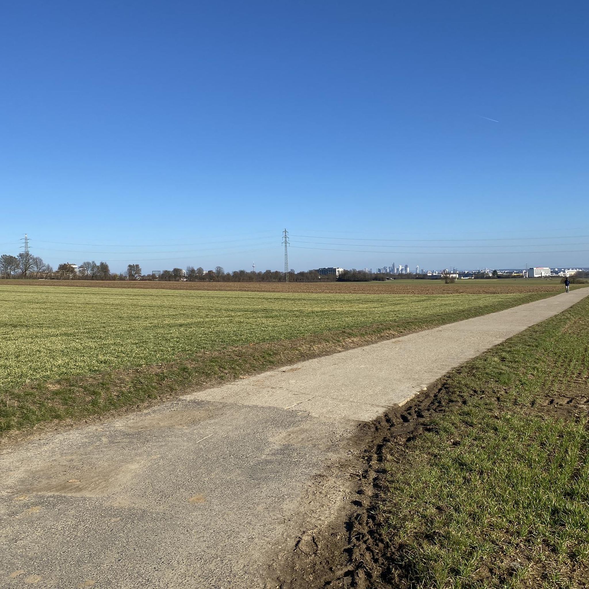
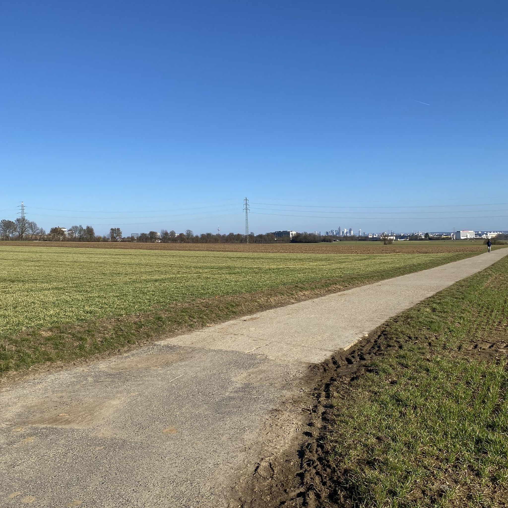
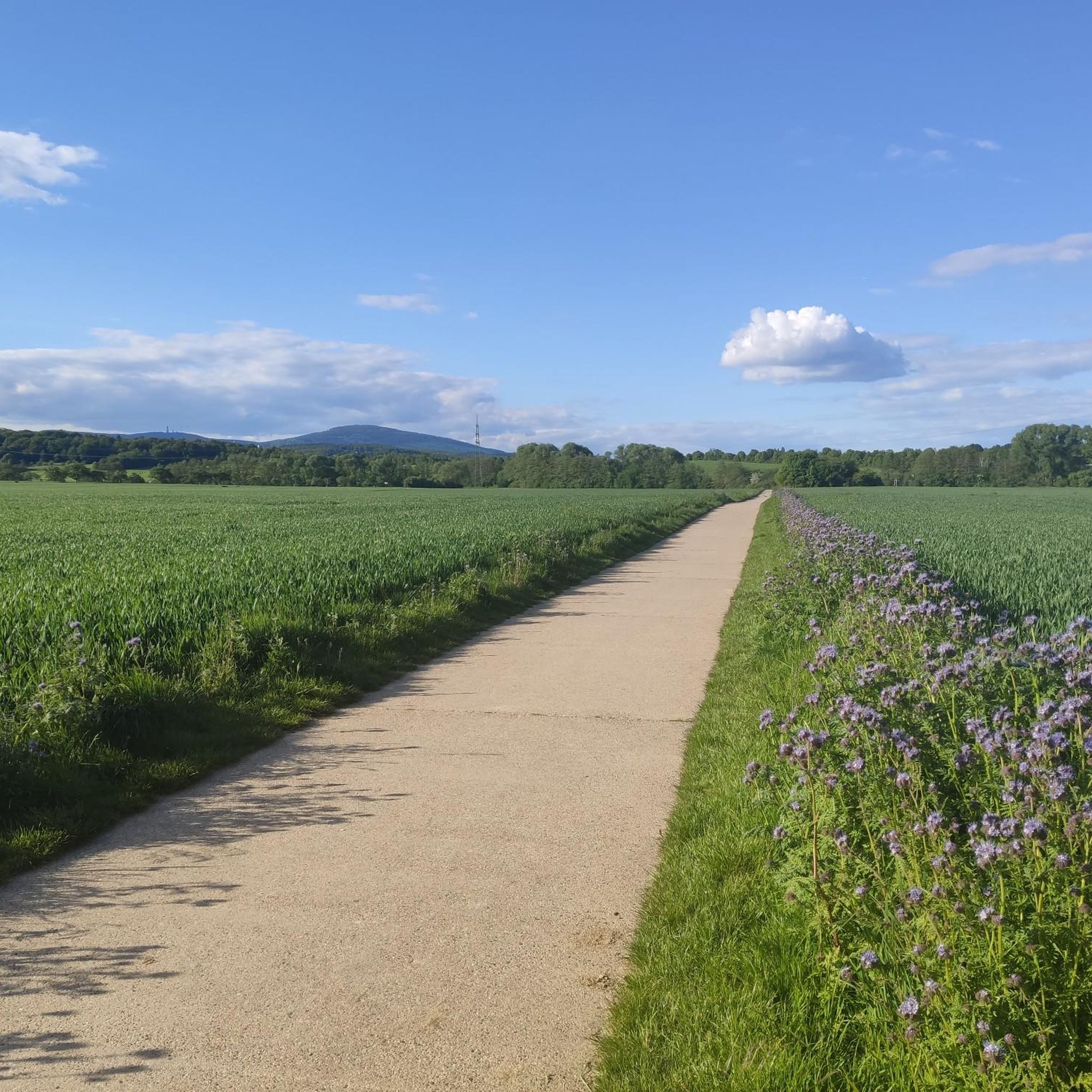
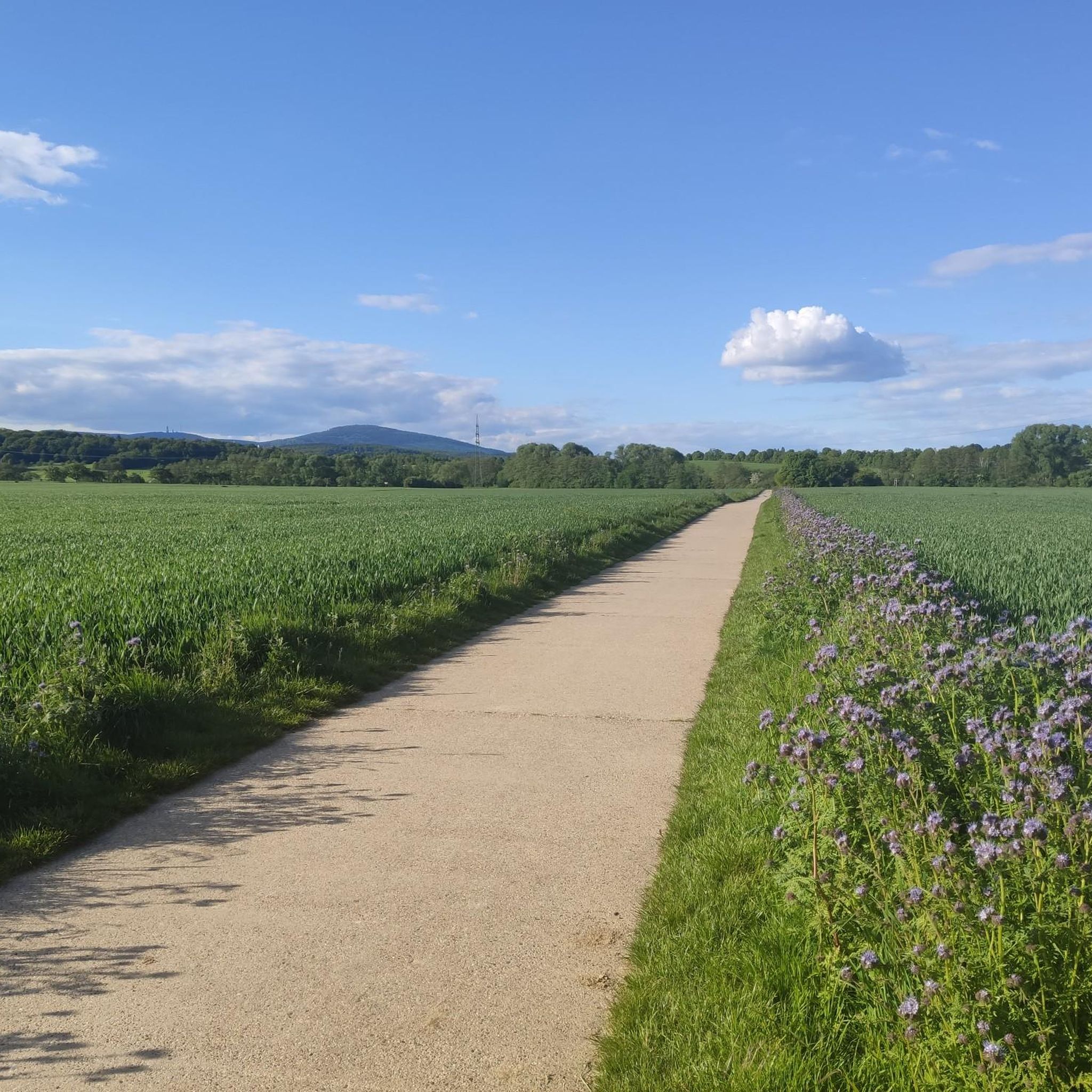
From this position, you have a top view over the fields towards Feldberg
12
0
The Main-Taunus Arboretum is a park-like woodland landscape of approximately 76 hectares located between Eschborn, Schwalbach, and Sulzbach. It was established in the early 1980s as compensatory reforestation for the expansion of Frankfurt Airport on the site of a former airfield. Today, over 600 species of trees and shrubs from the temperate regions of the Northern Hemisphere grow here. Instead of individual display trees, complete forest communities have been planted, allowing visitors to experience a small "botanical world tour" through forests from Europe, North America, and Asia along its walking paths. The freely accessible arboretum combines nature experiences, environmental education, and recreation and is considered one of the most important tree collection areas in the region – a tranquil, green contrast to the nearby metropolis of Frankfurt.
8
0

Idstein's old town is always worth a visit.
0
0
Here a practical wooden bridge crosses the Liederbach stream.
11
0
Frequently Asked Questions
How many touring cycling routes are available around Liederbach am Taunus?
There are over 20 touring cycling routes around Liederbach am Taunus, offering a diverse range of experiences for cyclists. These routes are highly rated by the komoot community, with an average score of 4.1 stars.
What kind of terrain can I expect on touring cycling routes in Liederbach am Taunus?
The region around Liederbach am Taunus features a mix of rolling hills, green meadows, and dense forests. You'll find well-maintained paths, some winding along the idyllic Liederbach River, and for more ambitious cyclists, the broader Taunus region offers significant challenges with 56 notable climbs.
Are there routes suitable for beginners or those looking for an easy ride?
Yes, Liederbach am Taunus offers several easy touring cycling routes. For example, the Main-Taunus Arboretum – View of the Frankfurt Skyline loop from Liederbach Süd is an easy 14.5-mile (23.3 km) path that winds through the arboretum. Another easy option is the Rudolph Inn – Sindlinger Wiesen loop from Liederbach, which is about 5.2 miles (8.4 km) long.
What do other cyclists say about the touring routes in Liederbach am Taunus?
The touring cycling routes in Liederbach am Taunus are highly regarded by the komoot community, with an average rating of 4.1 stars from over 59 reviews. Cyclists often praise the varied terrain, from gentle riverside paths to challenging ascents, and the scenic beauty of the Taunus Nature Park.
Can I see any castles or historic sites while cycling in the region?
Absolutely. The region is rich in history. You can explore routes that pass by historic half-timbered houses and traditional farms. For specific landmarks, consider visiting the Eppstein Castle, Ruins of Falkenstein Castle, or Königstein castle ruins, all of which are nearby attractions.
Are there any routes that offer views of the Frankfurt skyline or other significant landmarks?
Yes, some routes provide distant views of the Frankfurt skyline. The Main-Taunus Arboretum – View of the Frankfurt Skyline loop from Liederbach Süd is specifically known for this. Additionally, many routes offer glimpses of the majestic Feldberg, the highest peak in the Taunus.
Are there any natural features like waterfalls to discover on the routes?
While Liederbach am Taunus is known for its forests and river, you can find nearby waterfalls. The Billtal Waterfall and a Waterfall on the Billtalhöhe Descent are notable natural attractions in the wider area that can be explored.
What unique local attractions can I find along the cycling paths?
Beyond the natural beauty, you can discover local gems like the Oberliederbacher Park, designed by Franz Heinrich Siesmayer. During summer, a four-hectare corn maze offers a unique recreational activity. You might also encounter local businesses like Hof Pusteblume and Kasper Hofbäckerei, known for regional and organic products.
Are there any circular touring cycling routes in Liederbach am Taunus?
Many of the touring cycling routes in Liederbach am Taunus are designed as loops, allowing you to start and end at the same point. Examples include the Eppstein — Old Town and Castle – View of Eppstein Castle loop from Liederbach and the Liederbach Corn Maze – Kriftel Orchard loop from Liederbach Süd.
What are some longer, more challenging touring cycling routes in the area?
For those seeking a challenge, the Hofheim Old Town – Brunhildis Rock loop from Liederbach is a difficult 51.4-mile (82.7 km) route with significant elevation gain. Another demanding option is the Eppstein — Old Town and Castle – View of Eppstein Castle loop from Liederbach, covering 34.3 miles (55.2 km) with over 760 meters of ascent.
Are the touring cycling routes in Liederbach am Taunus suitable for families?
Yes, there are routes suitable for families, especially those that follow the Liederbach River or traverse flatter sections. The region's diverse network includes easy paths with relatively few elevation changes, making them accessible for family outings. The Liederbach Corn Maze – Kriftel Orchard loop from Liederbach Süd is a shorter, family-friendly option.
What is the best time of year to go touring cycling in Liederbach am Taunus?
The spring, summer, and early autumn months generally offer the most pleasant conditions for touring cycling in Liederbach am Taunus. During these seasons, the weather is typically mild, and the natural landscapes, including green meadows and forests, are at their most vibrant. Always check local weather forecasts before heading out.
Is Liederbach am Taunus well-connected to larger regional cycling networks?
Yes, Liederbach am Taunus is connected to the extensive Regionalpark Rundroute, a 193 km central route that links various natural and cultural sites across the Rhine-Main landscape. This connection allows cyclists to explore a much broader area with relatively few elevation changes.
Most popular routes around Liederbach am Taunus
Most popular attractions around Liederbach am Taunus

Get inspired with the komoot mobile app


Explore more
Browse the best Cycling routes in other regions.
